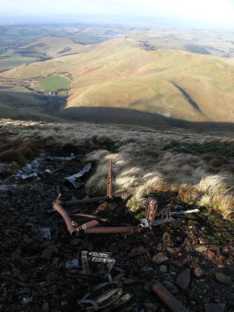
RAF de Havilland Mosquito, The Curr, Cheviot Hills, crash date 12/12/44
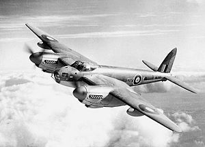
[Picture from wikipedia.org]OS 10-figure grid refs (GPS):
NT 84933 23498
NT 84983 23456
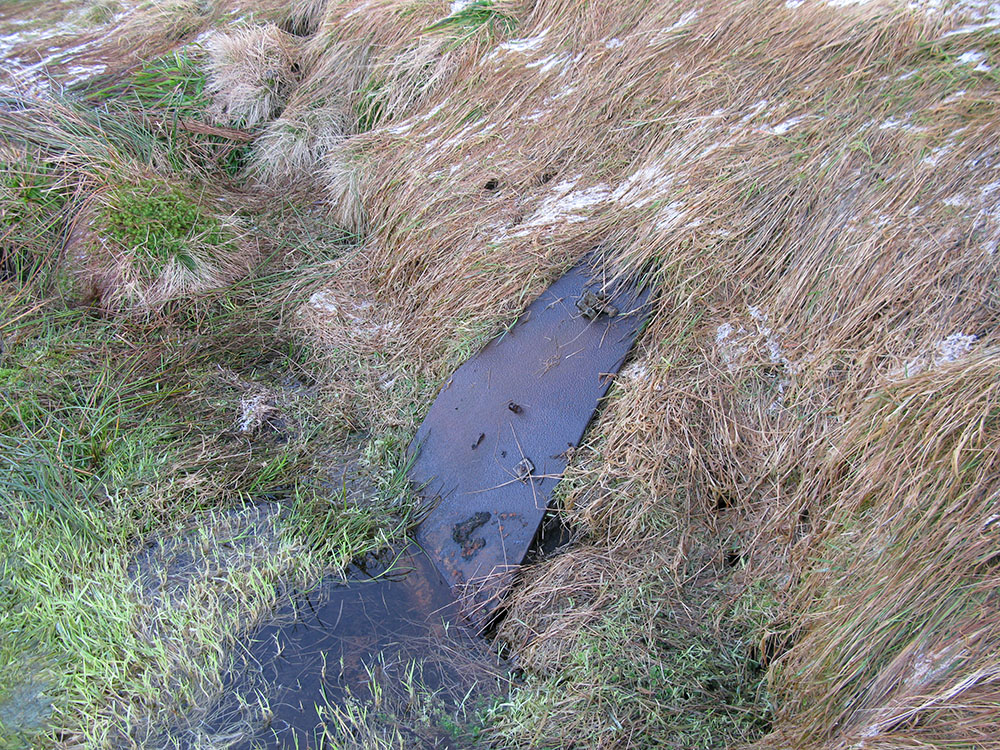
NT 84991 23479Google Maps display showing wreckage locations This wreck site lies at an altitude of about 540m on the north-western slope of the The Curr in the Cheviot Hills, not far from the summit. It is only about 1km from the border between Scotland and England, and about 6km north-west of the Vickers Warwick wreck site on The Cheviot (see my page about this site here).
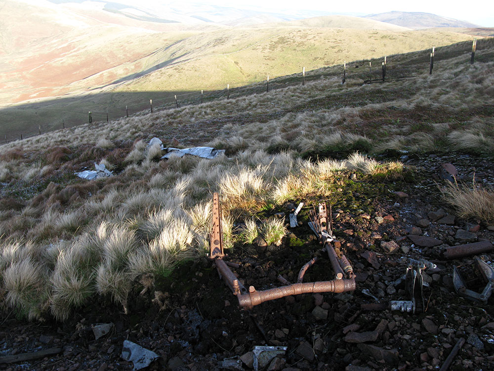
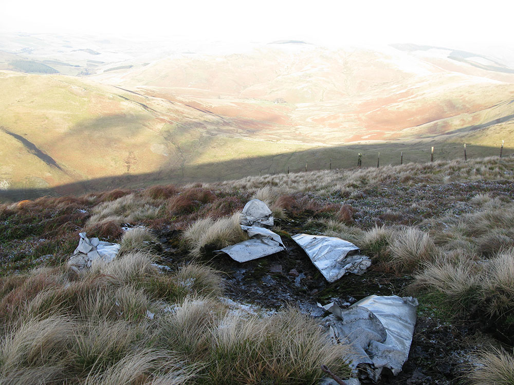
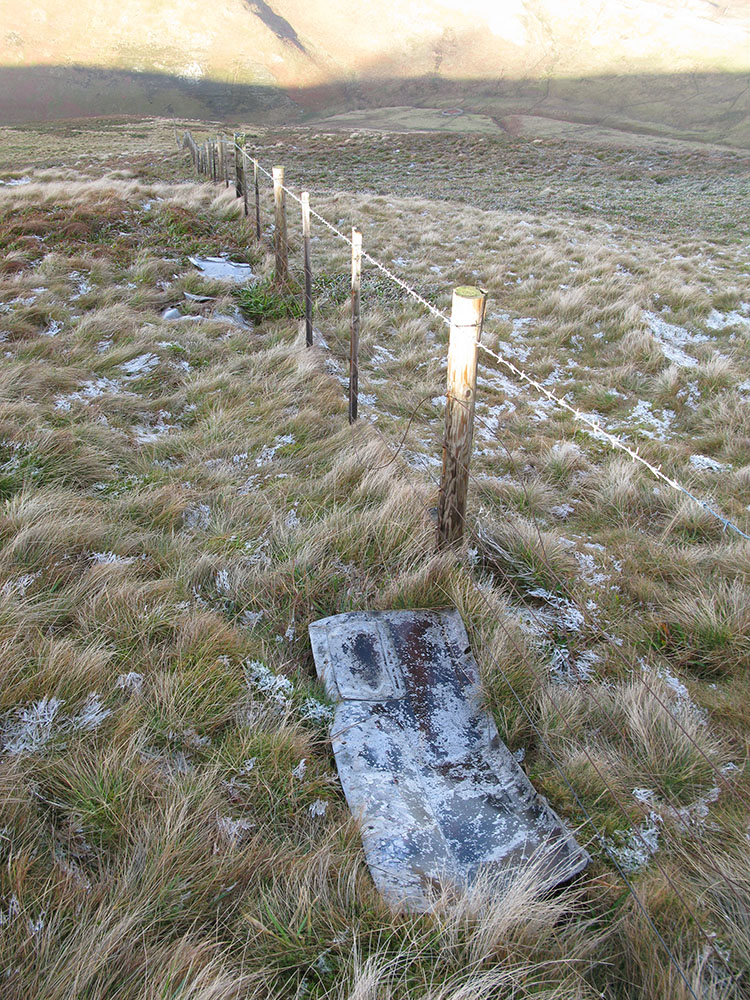
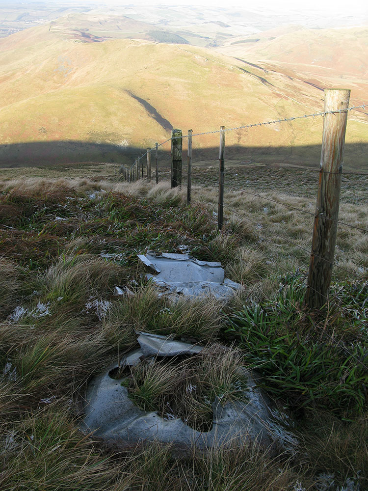
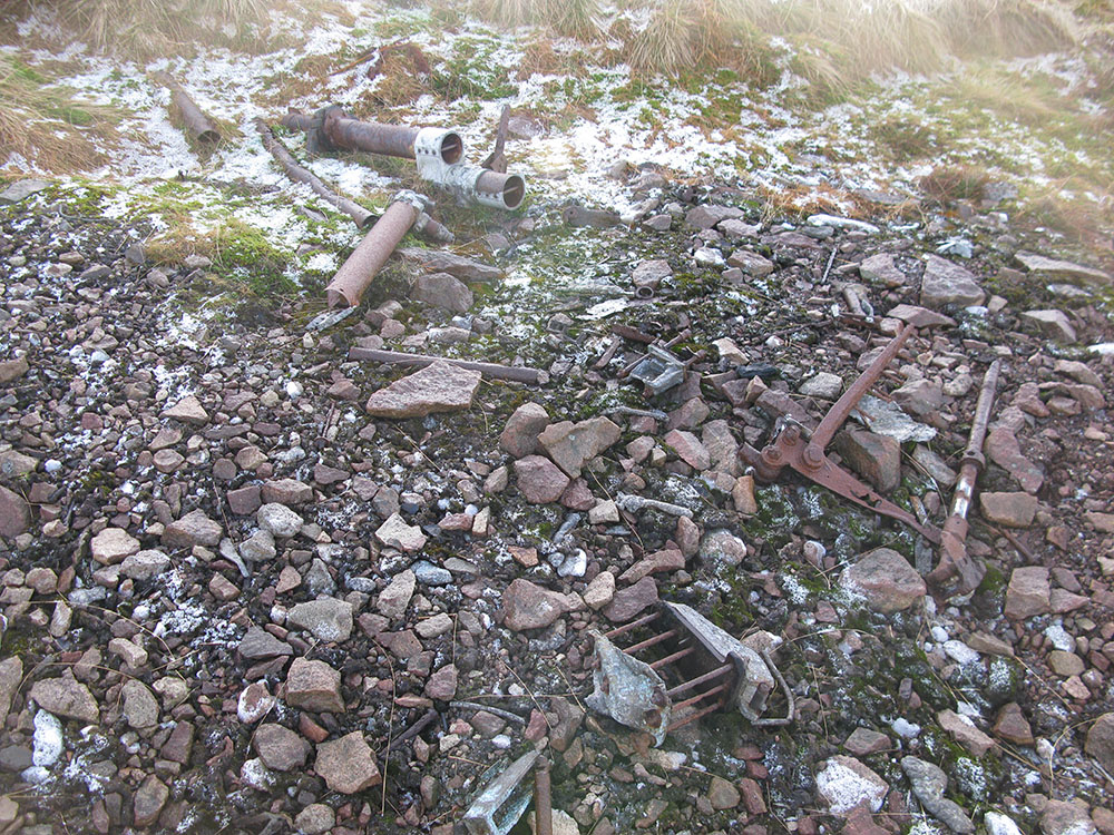
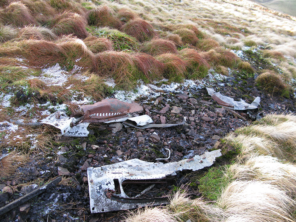
There is a small scar on the hillside that marks the point of the crash, and all the wreckage lies at this point, except for a piece of armour plating about 60m further down the hill. Identifiable pieces of wreckage include undercarriage sections and possibly engine cowling. Some small wooden parts can still be seen (the Mosquito bomber famously used wooden components in its construction).
This is a relatively little-known site, although there is some information about the crash and photos of the site on the ACSS website here.
These pictures were taken in January 2011.
 |
 |
 |
 |
 |
 |
 |
 |