Eddie's Photo Archive
Home
Photo Galleries
Summit Diary
Trips
Air Wrecks
Perennial Snow
Articles
About Me
Blog
Links
Atlas Mountains, Morocco; 30 January - 1 February 2009
See GPS and Google Maps detail of the route walked on this trip
here
.
The High Atlas Mountains from Marrakech
Date: 30/01/09
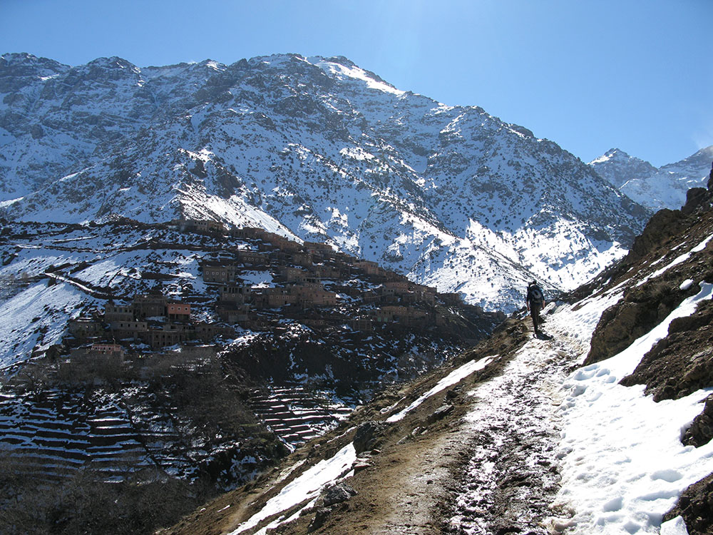
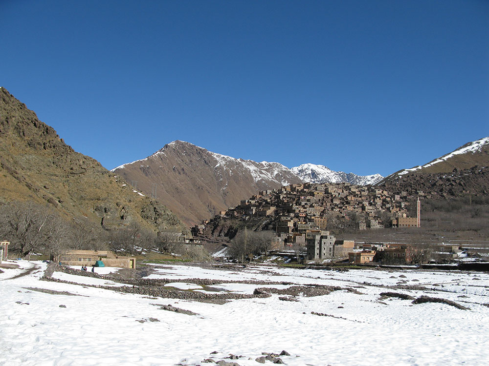
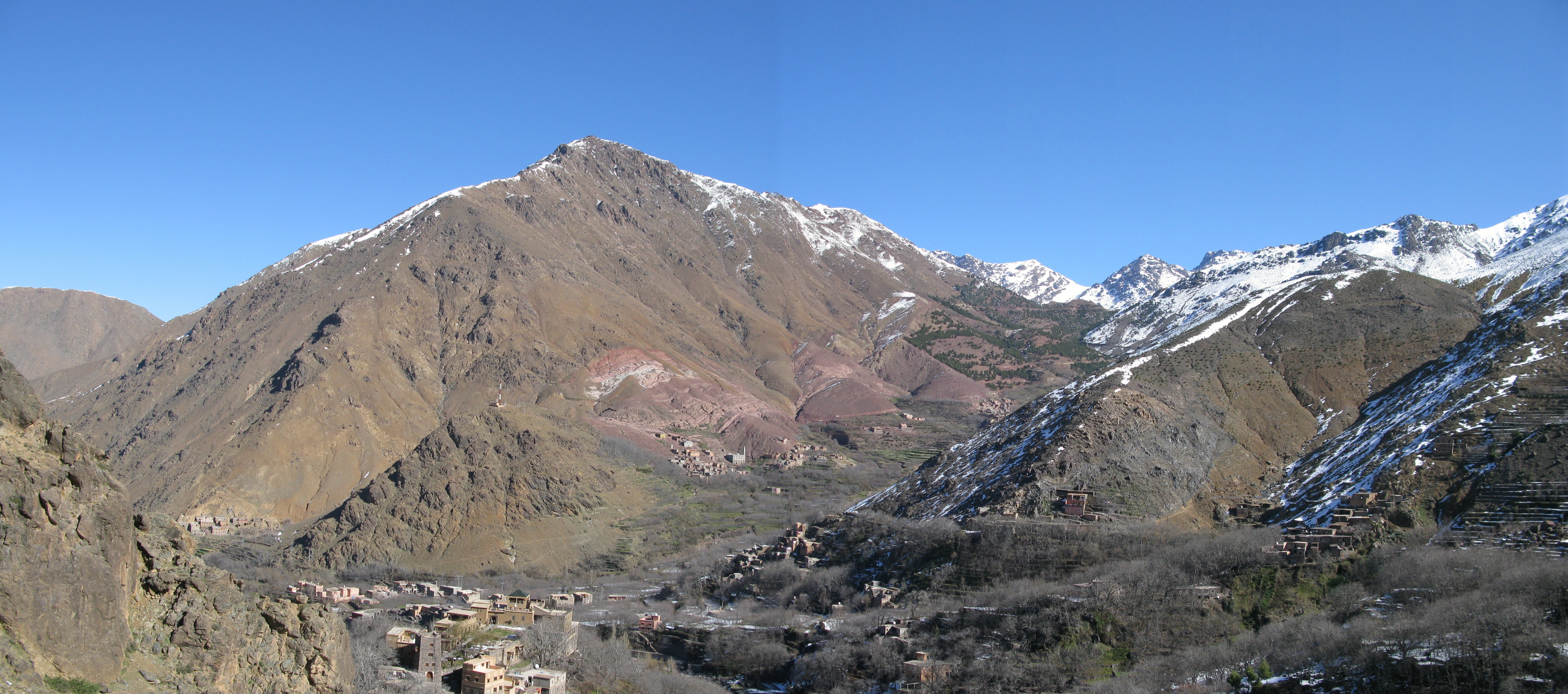
The village of Aremd from the north with the peak of Taksoute n'Ouaraoute in the background
Date: 30/01/09
GPS: N 31.12963° W 7.92070°
Altitude: 1911m
Google Maps Location
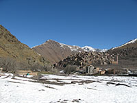
The village of Imlil from the south with the peak of Aourirt n'Ouassif behind
Date: 30/01/09
GPS: N 31.12963° W 7.92070°
Altitude: 1911m
Google Maps Location
high resolution version (7Mb)
The village of Aremd from the south with the peak of Aourirt n'Ouassif behind
Date: 30/01/09
GPS: N 31.12165° W 7.92139°
Altitude: 1940m
Google Maps Location
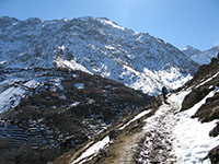
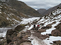
On the route to Sidi Chamcharouch from Aremd; summit of Jbel Toubkal in the background
Date: 30/01/09
GPS: N 31.12165° W 7.92139°
Altitude: 1940m
Google Maps Location
The summit of Jbel Toubkal from the north
Date: 30/01/09
GPS: N 31.12165° W 7.92139°
Altitude: 1940m
Google Maps Location
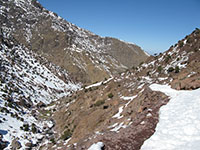
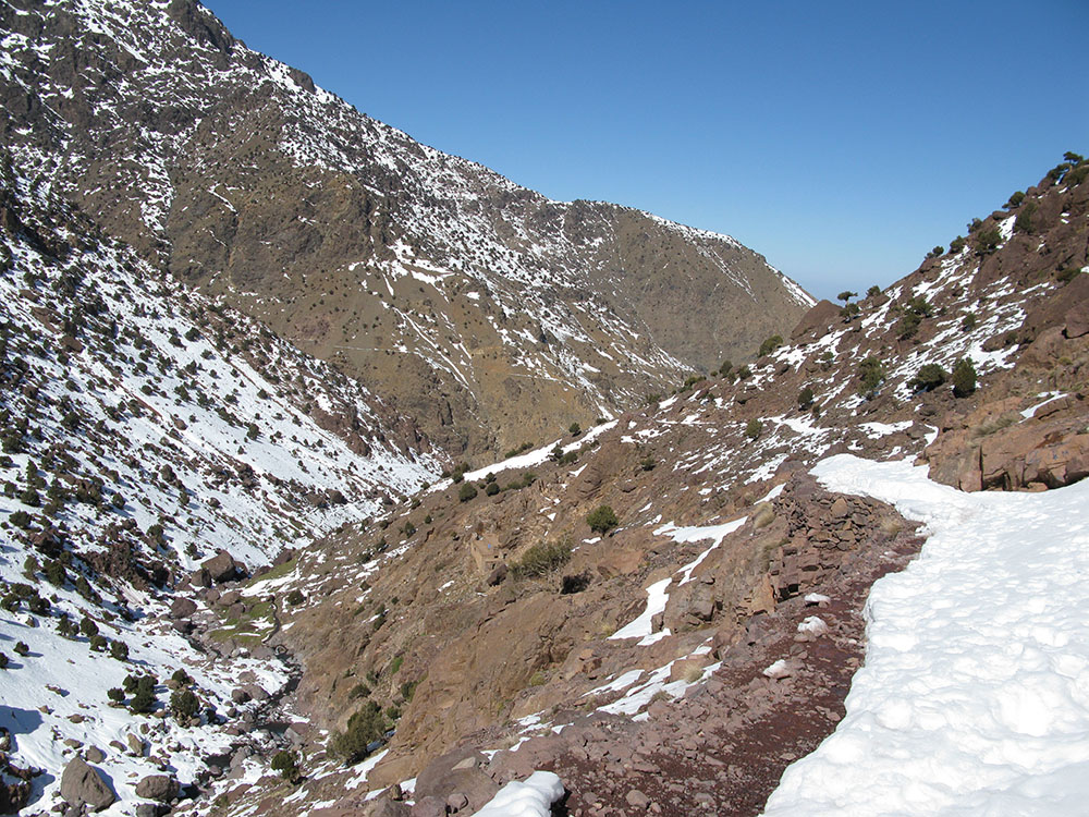
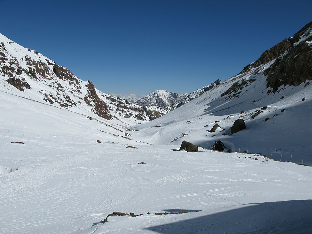
Looking back along the route from Aremd to Sidi Chamcharouch
Date: 30/01/09
GPS: N 31.10318° W 7.91672°
Altitude: 2248m
Google Maps Location
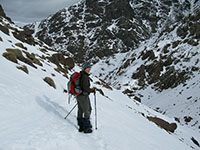
Looking towards the summit of Jbel Toubkal
Date: 30/01/09
GPS: N 31.10318° W 7.91672°
Altitude: 2248m
Google Maps Location
Nearing the holy village of Sidi Chamcharouch
Date: 30/01/09
GPS: N 31.09924° W 7.91339°
Altitude: 2304m
Google Maps Location
Above Sidi Chamcharouch on the way to the Toubkal mountain refuges
Date: 30/01/09
GPS: N 31.08995° W 7.91473°
Altitude: 2576m
Google Maps Location
Above Sidi Chamcharouch on the way to the Toubkal mountain refuges
Date: 30/01/09
GPS: N 31.08995° W 7.91473°
Altitude: 2576m
Google Maps Location
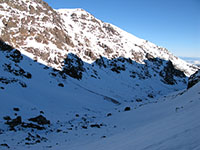
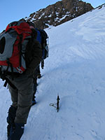
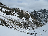
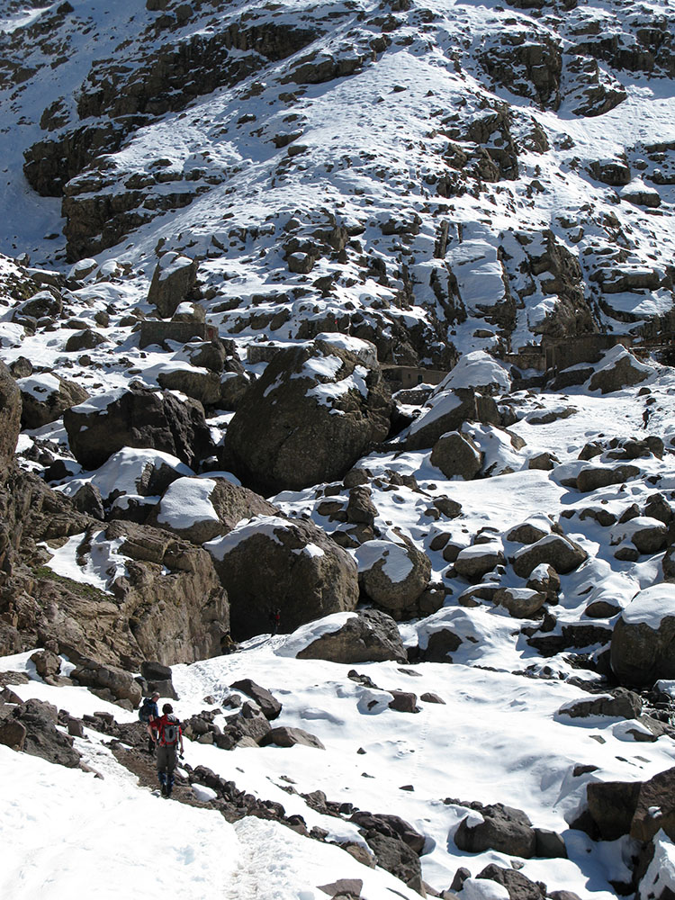
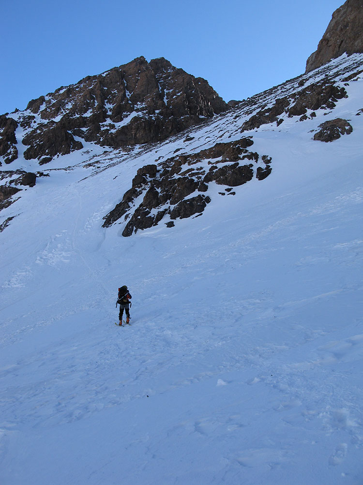
Looking down from the route to the summit of Jbel Toubkal above the mountain refuges
Date: 31/01/09
GPS: N 31.06140° W 7.93571°
Altitude: 3278m
Google Maps Location
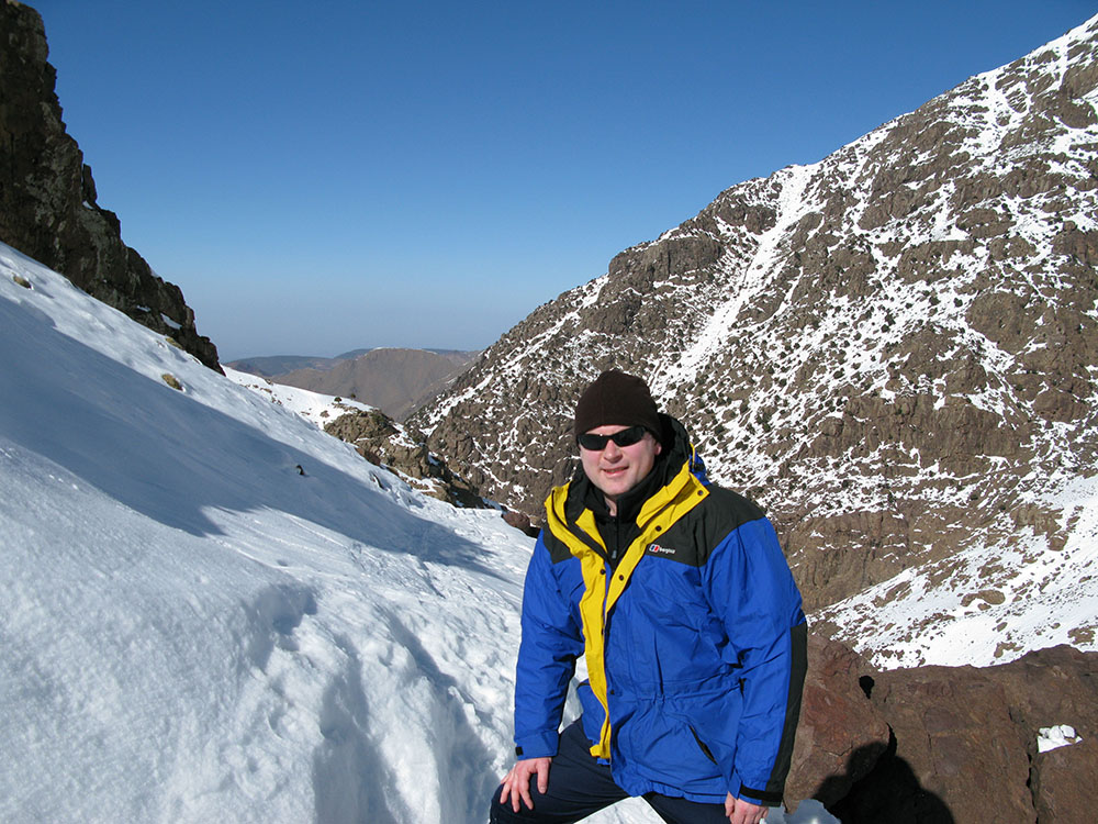
Just below the highest point attained (3300m) on the slopes above the Toubkal mountain refuges
Date: 31/01/09
GPS: N 31.06140° W 7.93571°
Altitude: 3278m
Google Maps Location
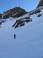
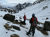
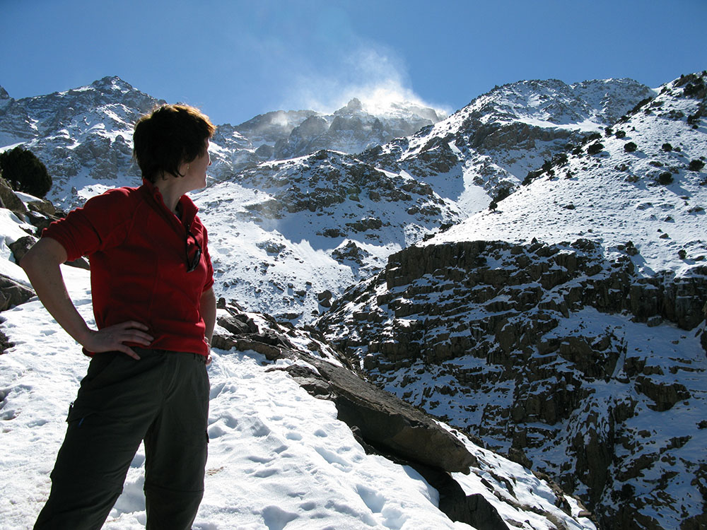
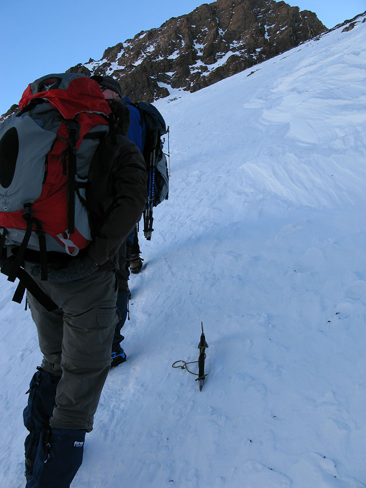
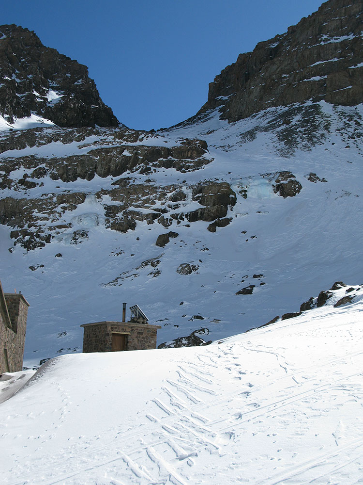
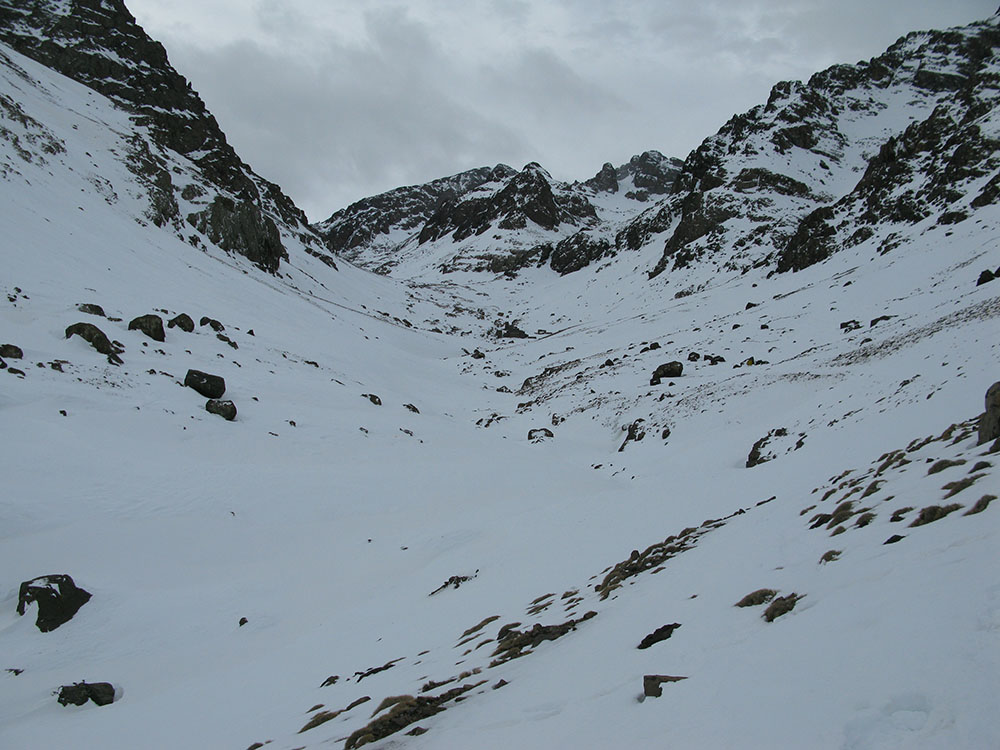
The route to the summit of Jbel Toubkal above the mountain refuges
Date: 31/01/09
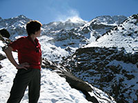
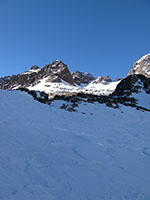
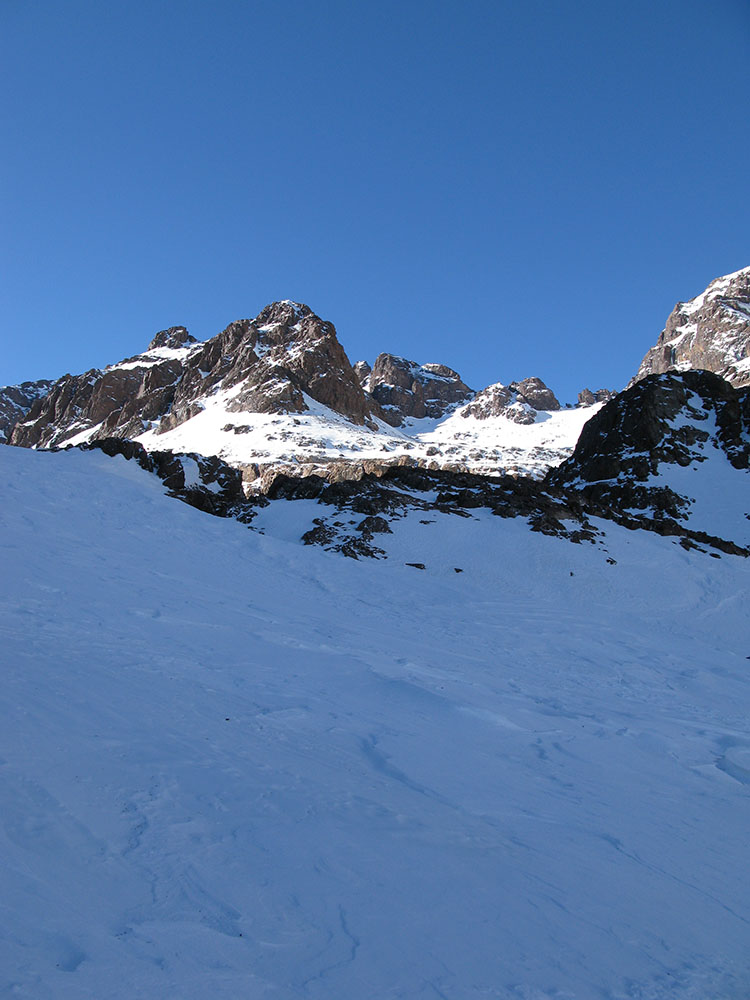
The 4030m summit of Akioud from the mountain refuges
Date: 31/01/09
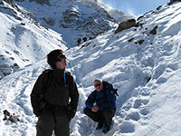
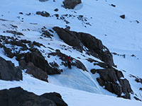
Ice climbers near the mountain refuges
Date: 31/01/09
The Mouflon mountain refuge
Date: 31/01/09
GPS: N 31.06402° W 7.93762°
Altitude: 3160m
Google Maps Location
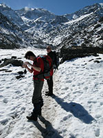
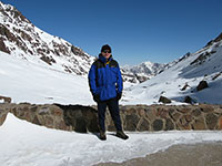
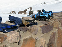
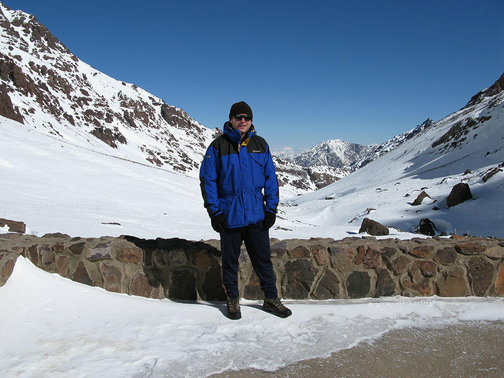
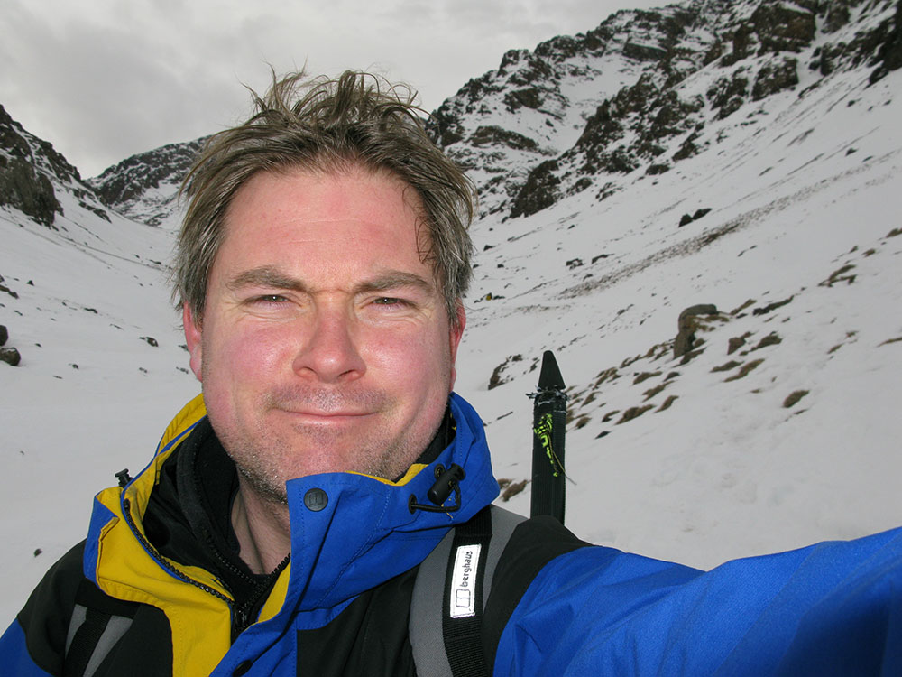
At the Mouflon mountain refuge
Date: 31/01/09
GPS: N 31.06402° W 7.93762°
Altitude: 3160m
Google Maps Location
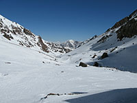
Looking north-east from the Mouflon mountain refuge down the valley towards Sidi Chamcharouch
Date: 31/01/09
GPS: N 31.06402° W 7.93762°
Altitude: 3160m
Google Maps Location
The route to the summit of Jbel Toubkal above the mountain refuges
Date: 31/01/09
GPS: N 31.06402° W 7.93762°
Altitude: 3160m
Google Maps Location
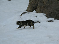
Refuge cat in the snow
Date: 31/01/09
GPS: N 31.06402° W 7.93762°
Altitude: 3160m
Google Maps Location
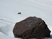
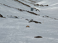
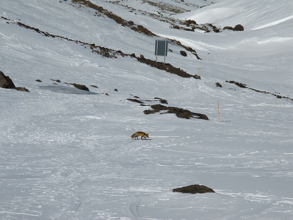
Fox near the Mouflon mountain refuge
Date: 31/01/09
GPS: N 31.06402° W 7.93762°
Altitude: 3160m
Google Maps Location
Bird at the Mouflon mountain refuge
Date: 31/01/09
GPS: N 31.06402° W 7.93762°
Altitude: 3160m
Google Maps Location
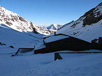
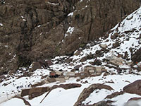
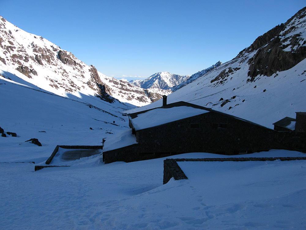
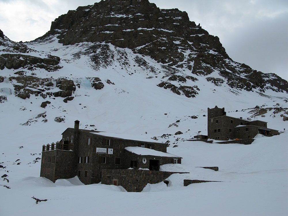
The Toubkal mountain refuges
Date: 01/02/09
GPS: N 31.06402° W 7.93762°
Altitude: 3160m
Google Maps Location
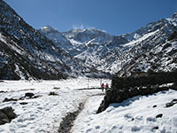
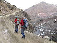
On the descent towards Sidi Chamcharouch
Date: 01/02/09
GPS: N 31.07341° W 7.93362°
Altitude: 3048m
Google Maps Location
On the descent towards Sidi Chamcharouch
Date: 01/02/09
GPS: N 31.07341° W 7.93362°
Altitude: 3048m
Google Maps Location
Looking towards the Toubkal mountain refuges from the descent towards Sidi Chamcharouch
Date: 01/02/09
GPS: N 31.07341° W 7.93362°
Altitude: 3048m
Google Maps Location
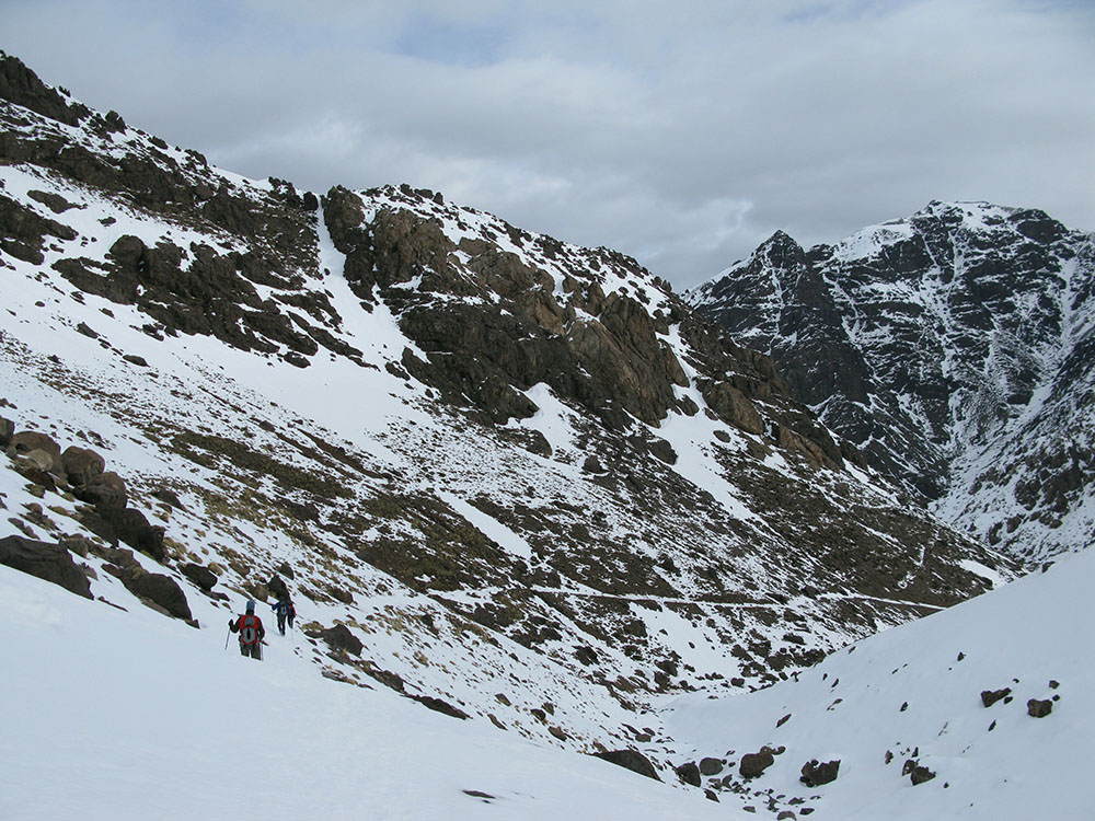
On the descent towards Sidi Chamcharouch
Date: 01/02/09
GPS: N 31.08178° W 7.92737°
Altitude: 2902m
Google Maps Location
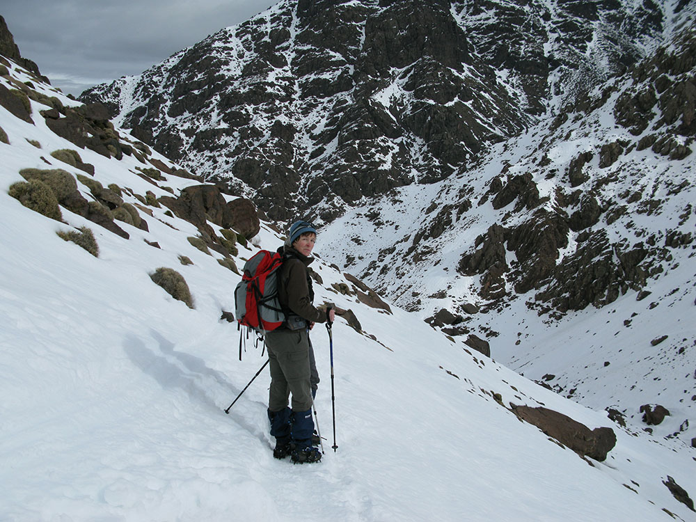
On the descent towards Sidi Chamcharouch
Date: 01/02/09
GPS: N 31.08773° W 7.91640°
Altitude: 2646m
Google Maps Location
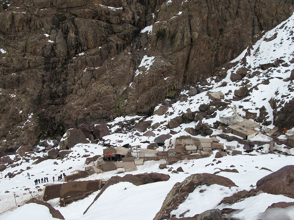
Sidi Chamcharouch from above
Date: 01/02/09
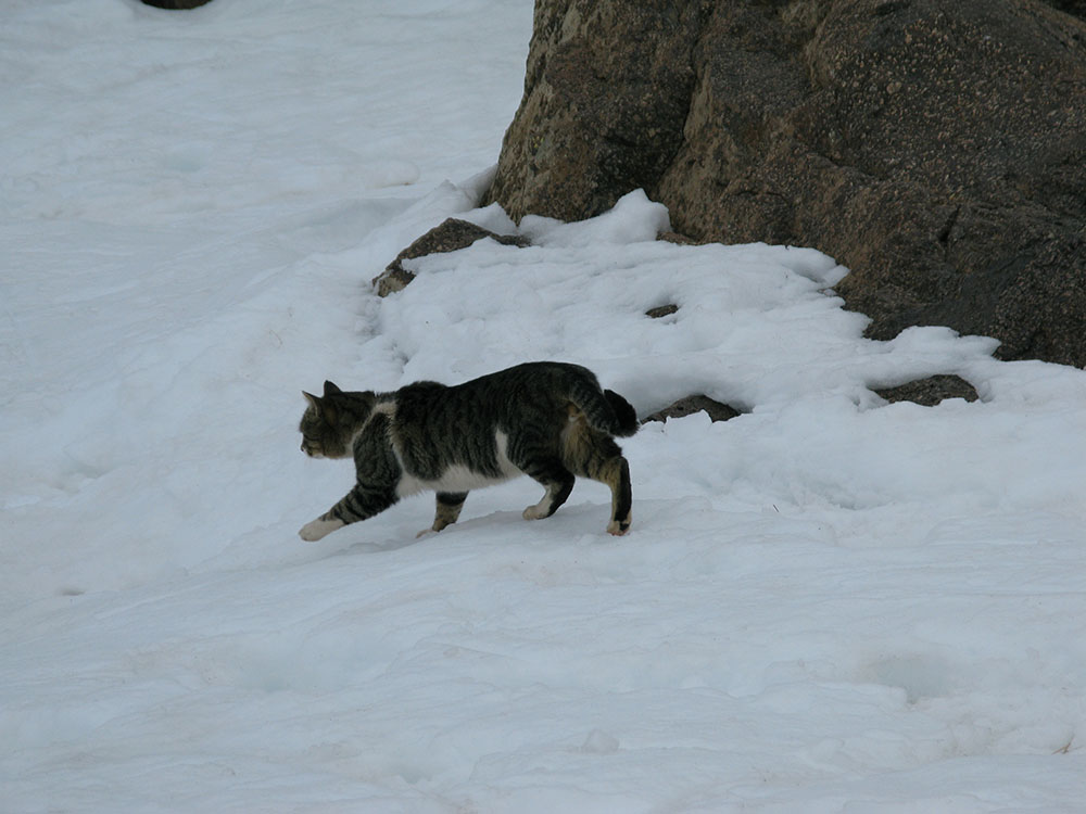
Cat in the snow at Sidi Chamcharouch
Date: 01/02/09
GPS: N 31.09801° W 7.91255°
Altitude: 2328m
Google Maps Location
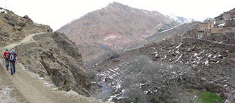
On the descent towards Aremd
Date: 01/02/09
GPS: N 31.10611° W 7.91804°
Altitude: 2197m
Google Maps Location
On the descent towards Aremd
Date: 01/02/09
GPS: N 31.11148° W 7.91989°
Altitude: 2063m
Google Maps Location
Walking past the village of Aremd
Date: 01/02/09
GPS: N 31.12642° W 7.91986°
Altitude: 1929m
Google Maps Location
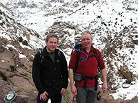
The village of Aremd with the peak of Aourirt n'Ouassif behind
Date: 01/02/09
GPS: N 31.12642° W 7.91986°
Altitude: 1929m
Google Maps Location
high resolution version (6Mb)


