
 [Picture from wikipedia.org] |
OS 10-figure grid refs (GPS): NT 14163 22428 |
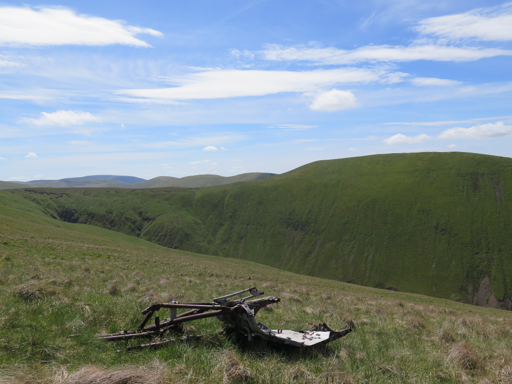
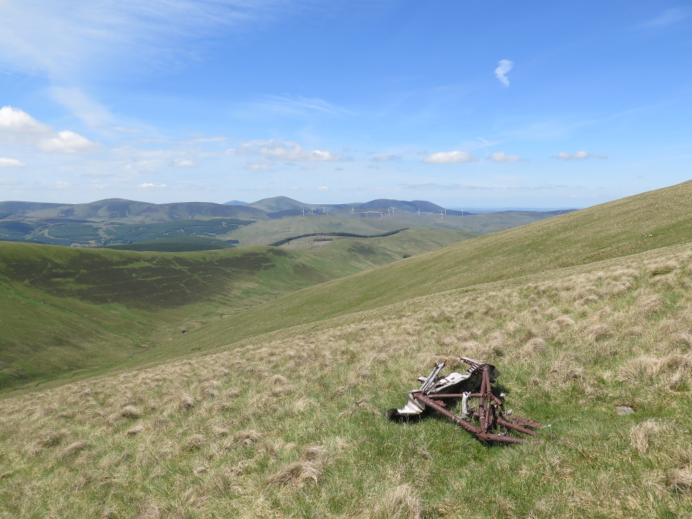
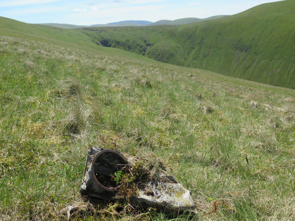
This wreck site is about 1km southwest and southeast of the summit of Broad Law, at altitudes of between about 650m and 690m. It is about 4km south of the North American Harvard wreck on the north ridge of Broad Law (see my page about this wreck site here).
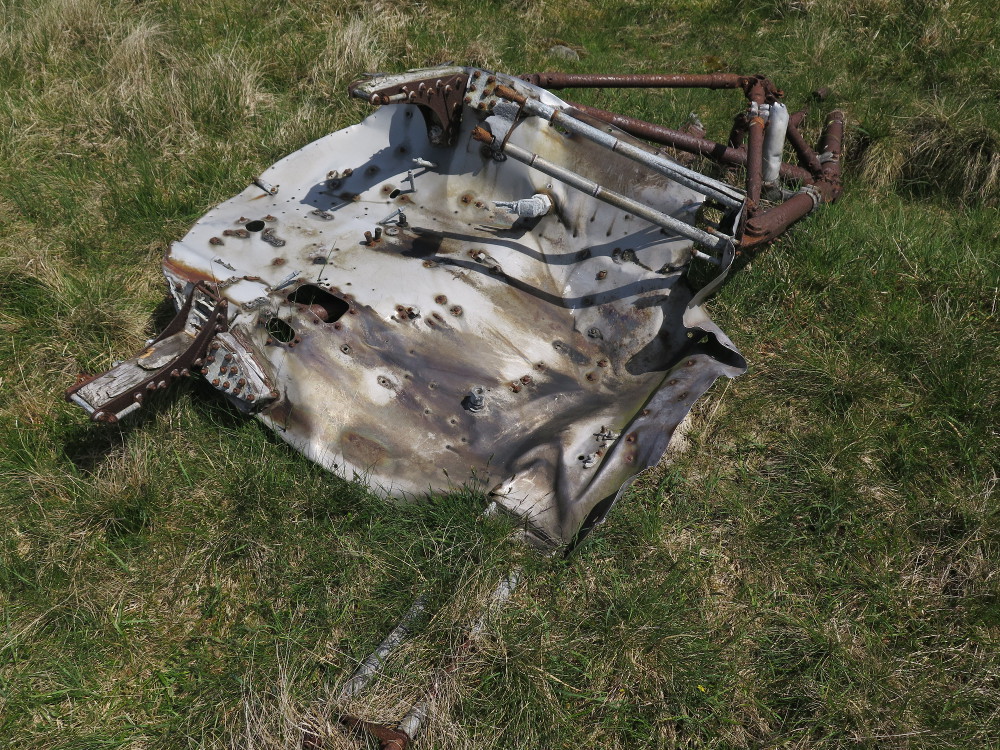
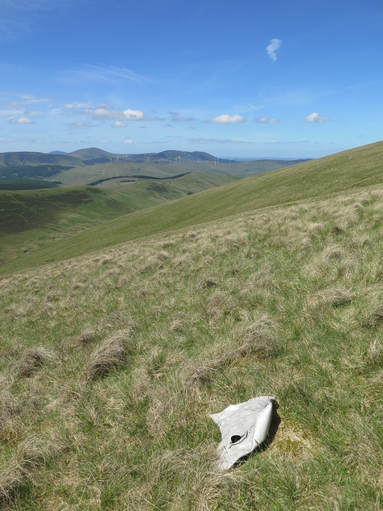
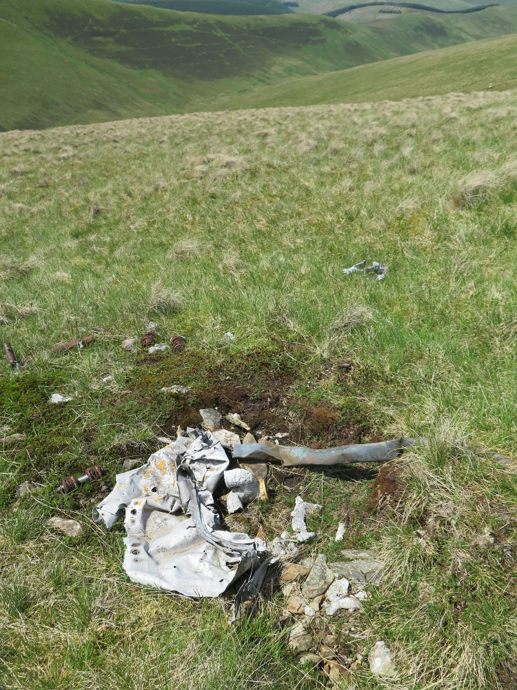
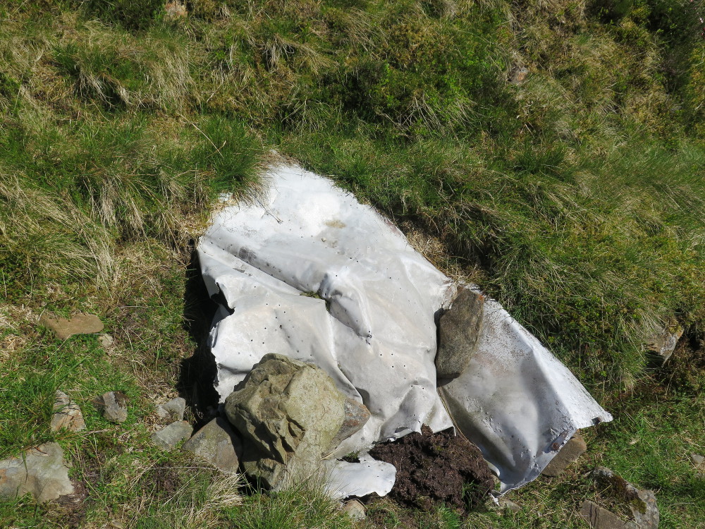
The site consists of two areas of debris separated by about 700m, on different sides of the south ridge of Broad Law. On the west side, several small pieces are scattered in a line about 50m in length, the largest piece in this area is shown in the first three photos. One the east side of the ridge is a single piece of metal, shown in the seventh photo.
The ACSS website has some information about the crash and photos of the site here. The PDAAR website has information and photos of the crash site here.
These pictures were taken in May 2017.
 |
 |
 |
 |
 |
 |
 |