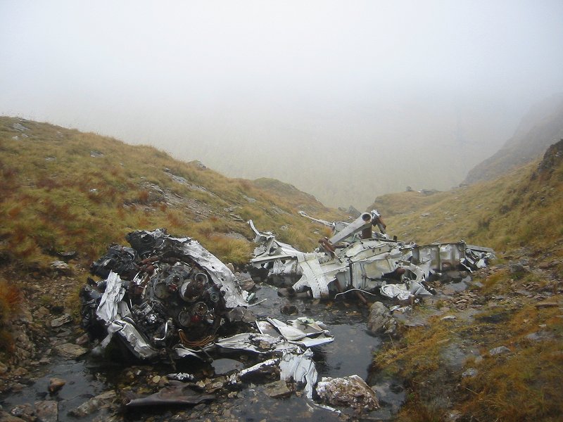
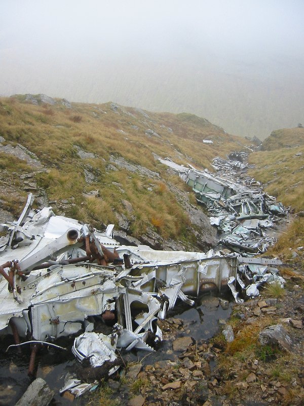
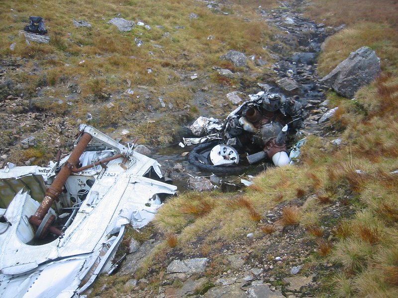
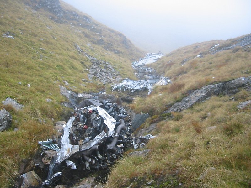
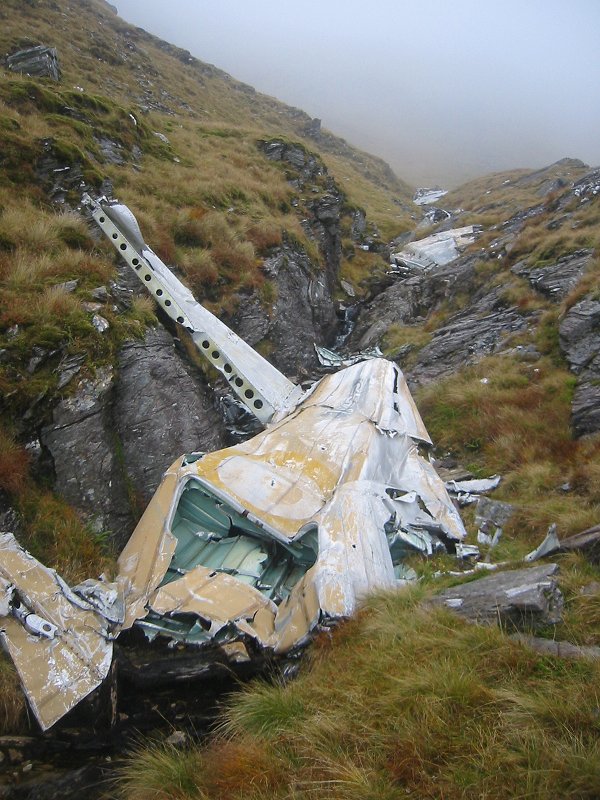
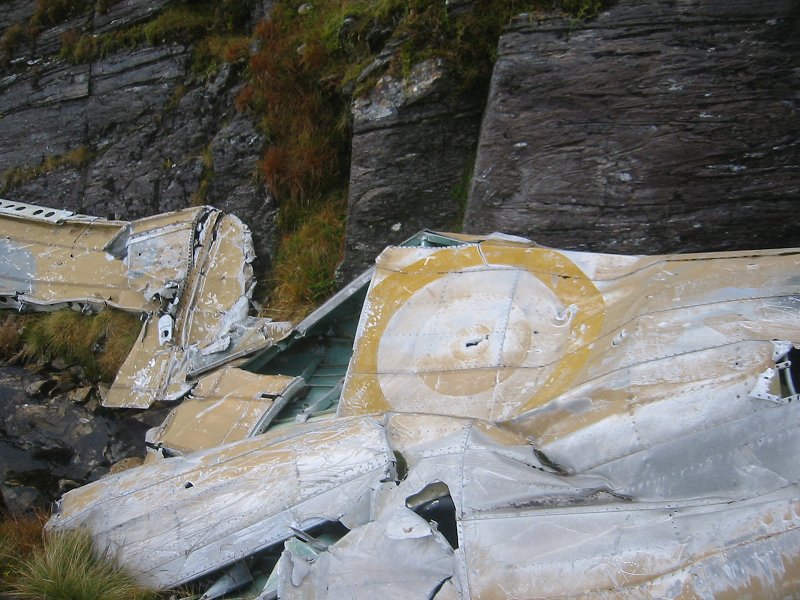
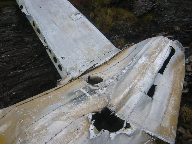
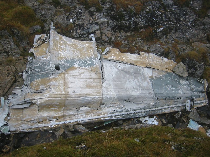
RAF Lockheed Hudson, Ben Lui, crash date 15/04/41

[Picture from wikipedia.org]OS 10-figure grid refs (GPS):
NN 26970 26051
NN 27009 26032
NN 27088 25977
NN 27750 25831Google Maps display showing wreckage locations This wreck site is possibly one the most difficult to get to in Scotland, but is very interesting because large pieces of the aircraft remain, including wings, engines and fuselage sections. The aircraft wreckage still has camouflage pattern paint, roundels and a number still visible on it.
The wreckage is strung out along a gully with a stream flowing down it, on the south-eastern flank of Ben Lui at an altitude of 900m. The site can be found be descending from the 1130m south summit of Ben Lui along the south-east ridge for a distance of about 500m to an obvious small col at an altitude of about 980m, then descending fairly steeply off the ridge for a distance of about 100m eastwards down a gully. The wreckage is strung out for a distance of about 100m, and is located between altitudes of about 900m and 850m. It is in a very dramatic location underneath some cliffs looking out towards nearby Ben Oss.
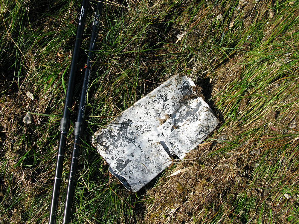
There are some good pictures of this site on the TFDACSS website here and some information about the crash and photos on the PDAAR website here. The ACSS website also has some information about the crash and some photographs here. The ACSS website also has some interesting photographs taken much lower down the mountain in 1981, that appear to show wing and tail sections. On a visit in September 2014 to the area directly below the wreck site to the east I was unable to find any of these pieces of wreckage. I did however find a small piece of metal in the area at an altitude of about 490m (OS 10-figure grid ref. NN 27750 25831), which is probably from the Hudson (photos from September 2014 below).
These pictures were taken in October 2007.
 |
 |
 |
 |
 |
 |
 |
 |
These pictures were taken in September 2014.
 |