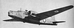
RAF Vickers Wellington, Beinn a'Bhuird, crash date 23/10/40
[Picture from wikipedia.org]OS 10-figure grid refs (GPS):
NO 09102 96645
NO 09060 96643
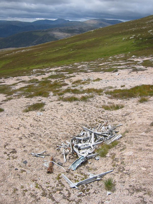
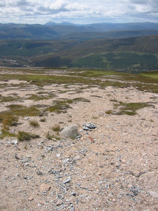
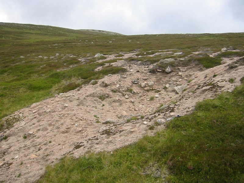
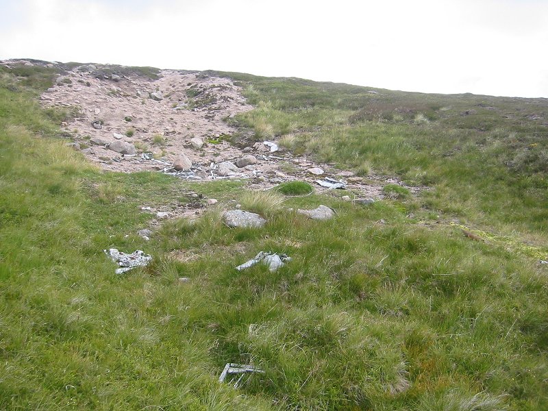
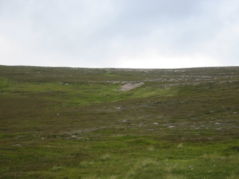
NO 09024 96602Google Maps display showing wreckage locations This wreck site is just off the plateau of Beinn a'Bhuird, about a kilometre south of the South Top on a ridge called Bruach Mhor, at an altitude of about 900m.
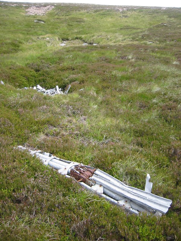
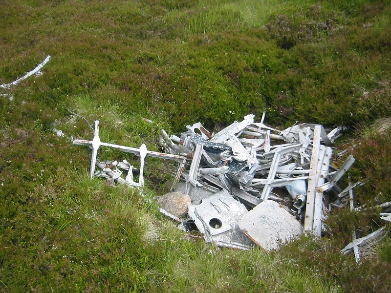
This site is particularly impressive as the aircraft made a crater when it crashed which is still visible as a scar on the side of the mountain, although most of the aircraft wreckage has now been removed.
The WW2ACSS website has more information about this crash here. The WYACU website has some pictures of the site and information about the crash here.
These pictures were taken in July 2007.
 |
 |
 |
 |
 |
 |
 |