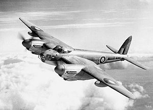
RAF de Havilland Mosquito, Cranstackie, crash date 05/04/43
[Picture from wikipedia.org]OS 10-figure grid refs (GPS):
NC 34972 55923 NC 34991 55958
NC 34961 55952 NC 34937 55955
NC 34932 56004 NC 34897 56008
NC 34680 56132NC 35153 56406 (Calbhach Coire)
NC 34906 56432 (Calbhach Coire)
NC 34840 56561 (Calbhach Coire)Google Maps display showing wreckage locations This crash site lies on the slopes of Cranstackie in Sutherland, one of the most remote and northerly hills in the British Isles.
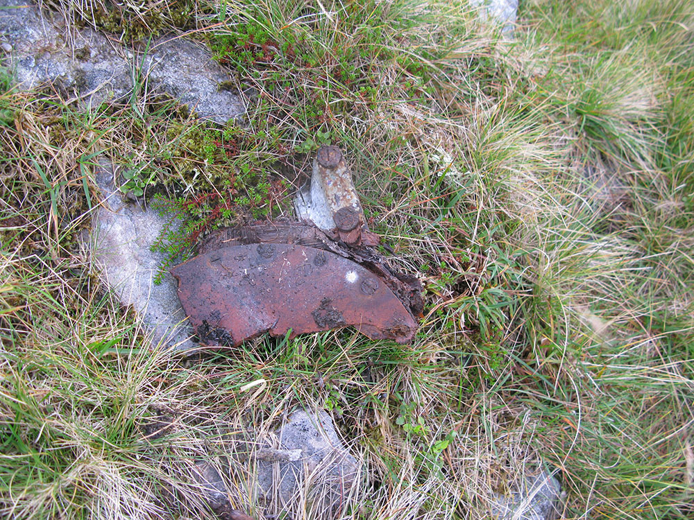
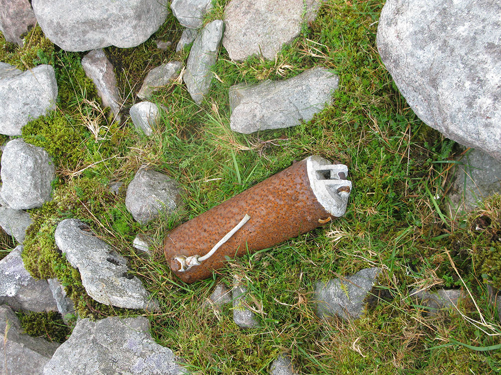
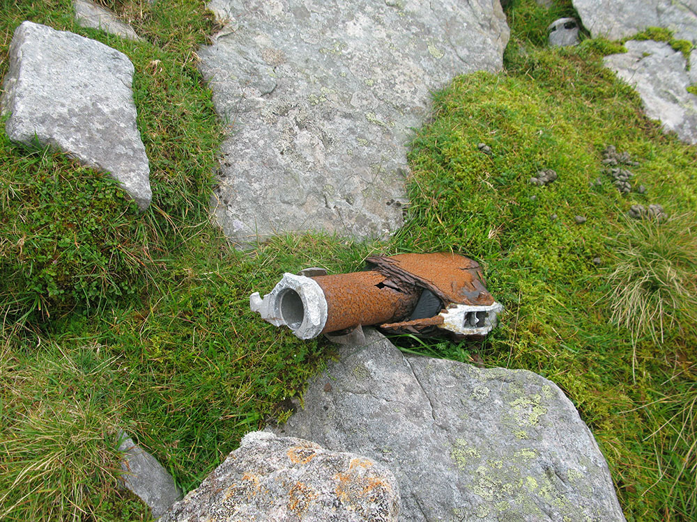
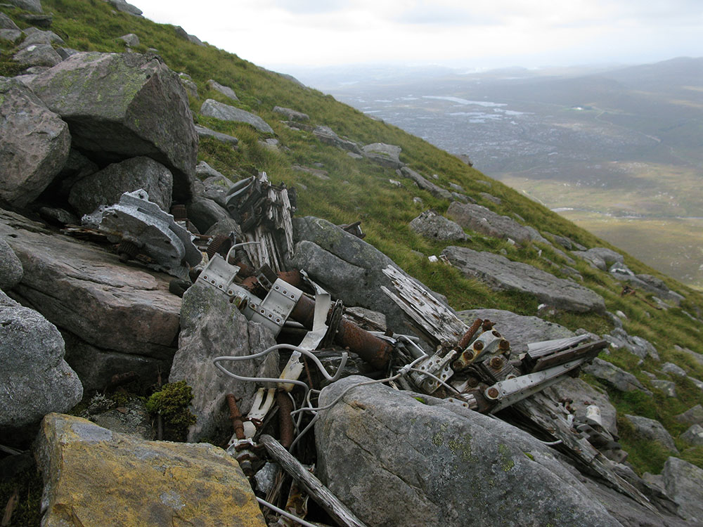
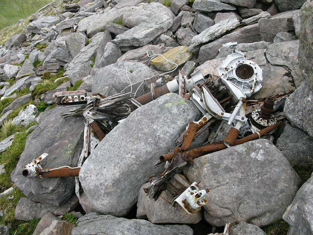
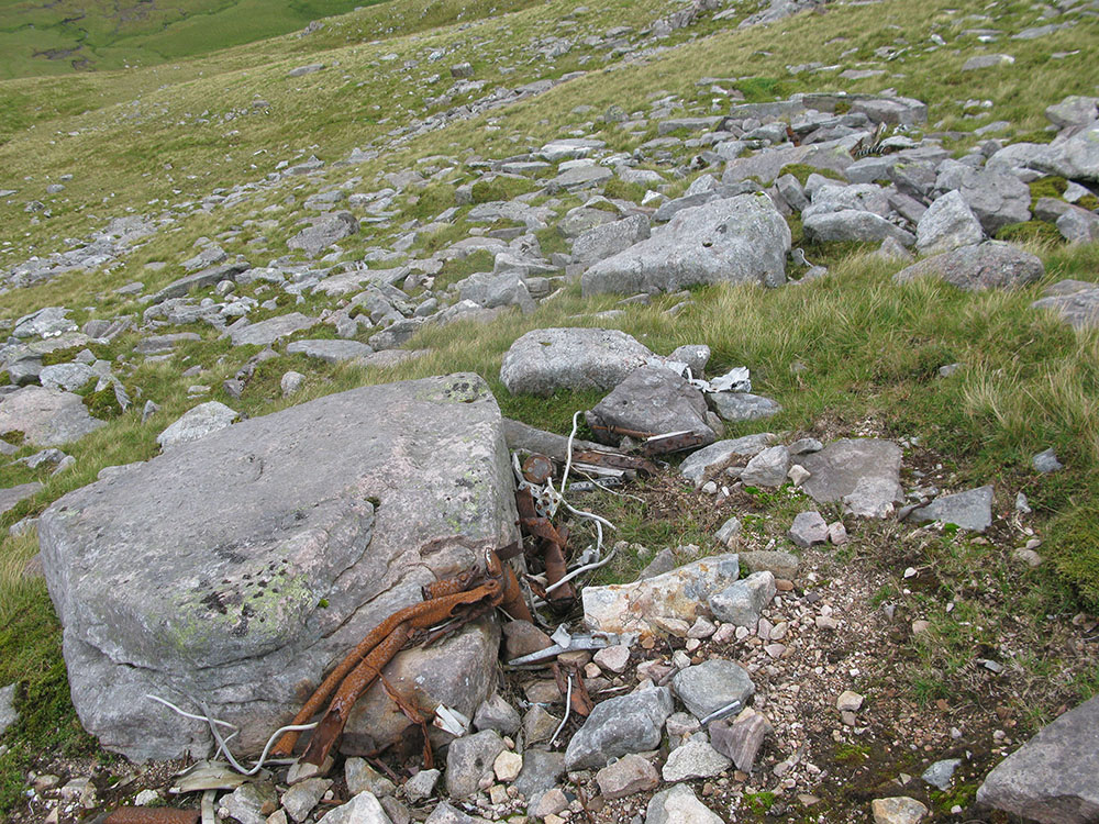
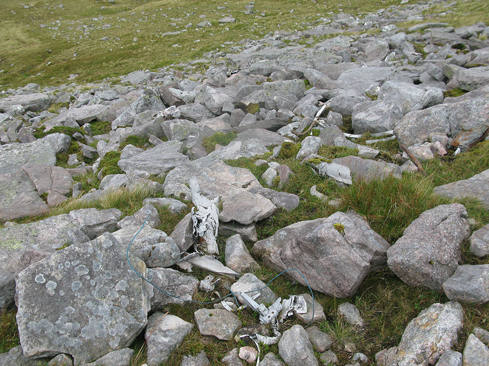
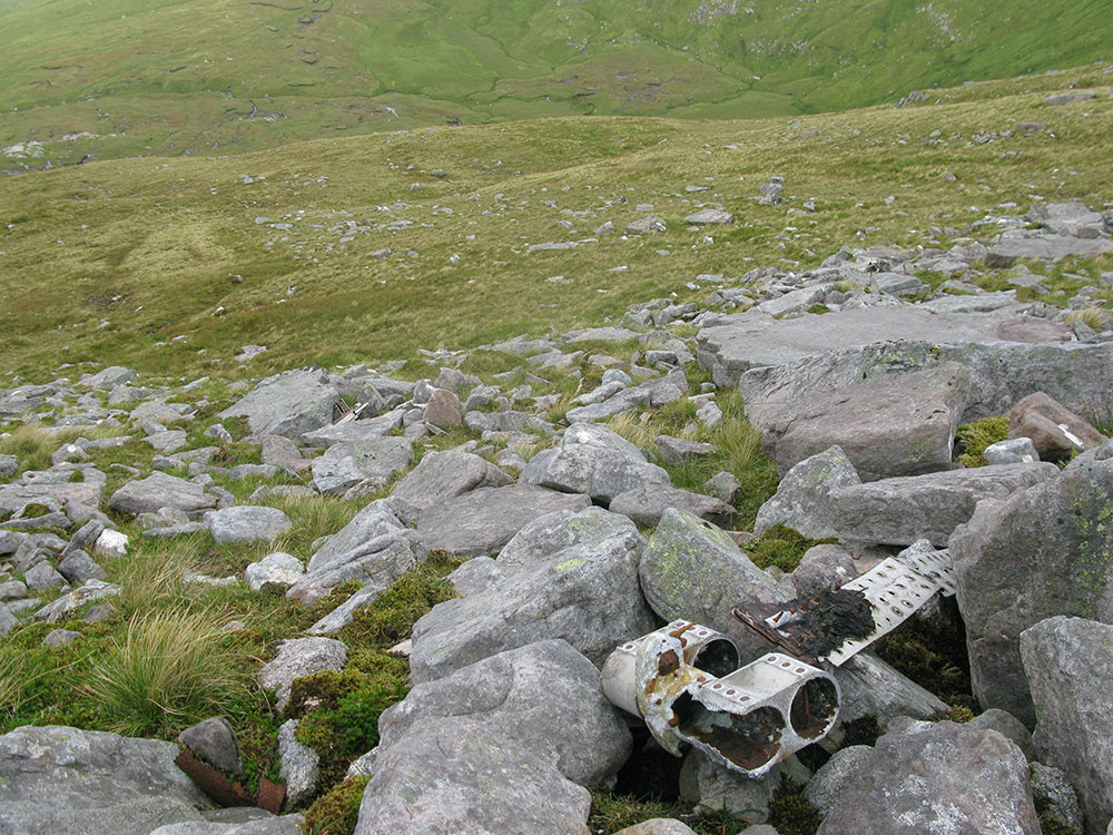
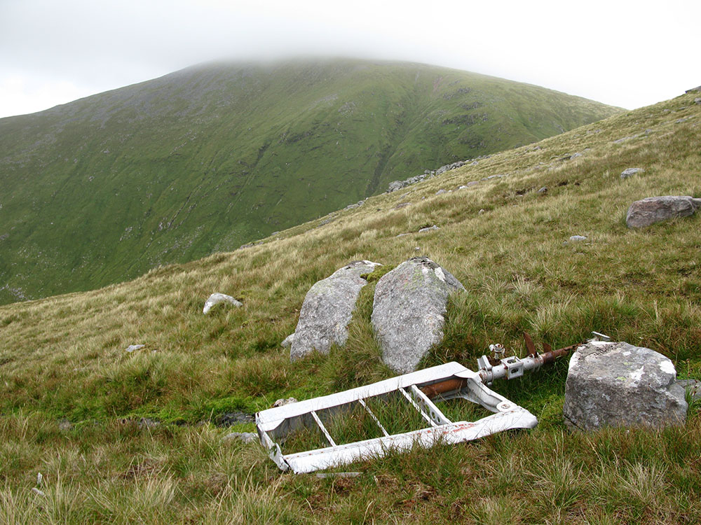
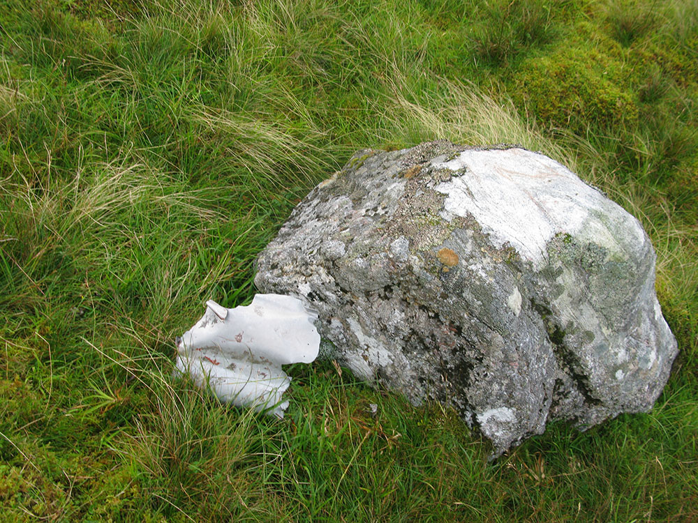
The main debris field lies at altitudes of between about 600m and about 550m. The debris field is quite compact and is about 100m across, in a relatively innacessible location in a boulder field on the steep northern slopes of Cranstackie, about 400m north-west of the 800m summit.
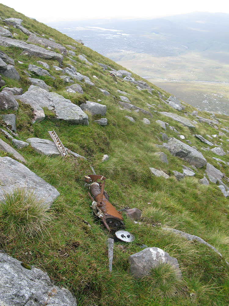
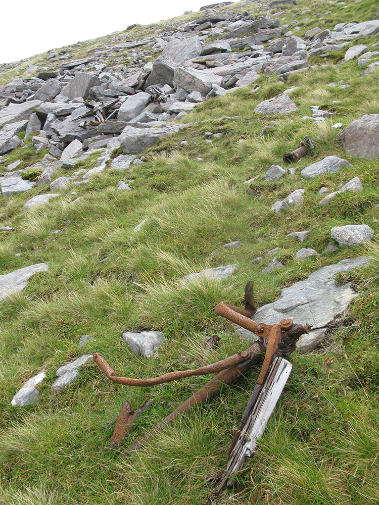
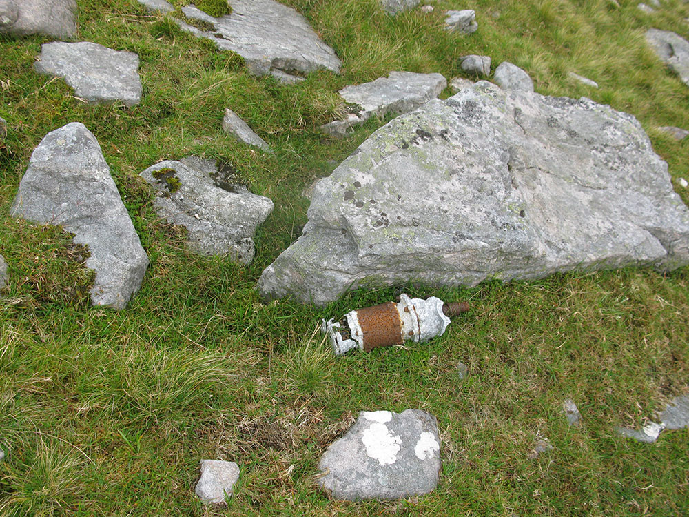
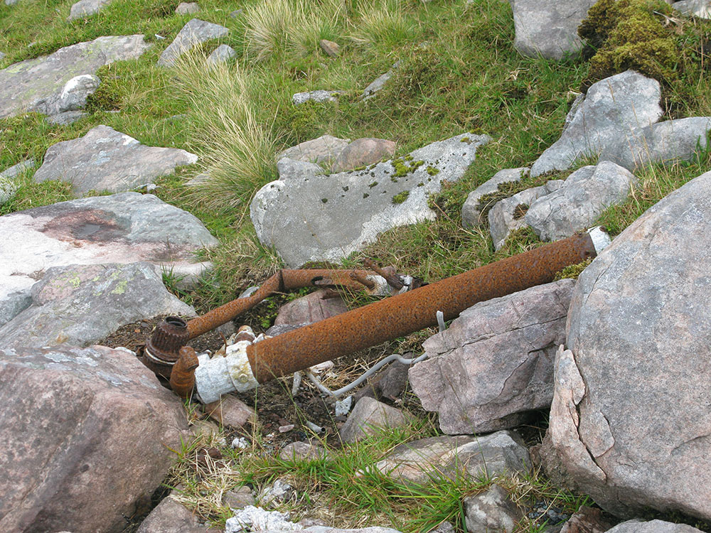
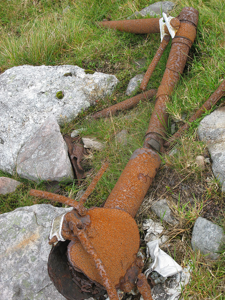
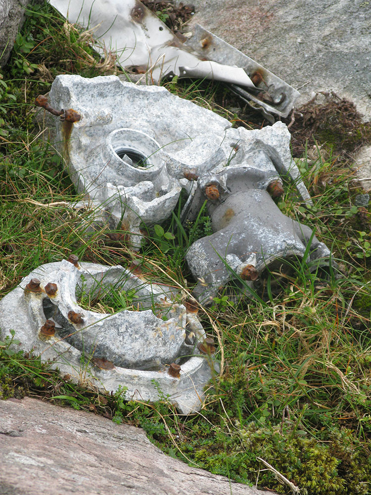
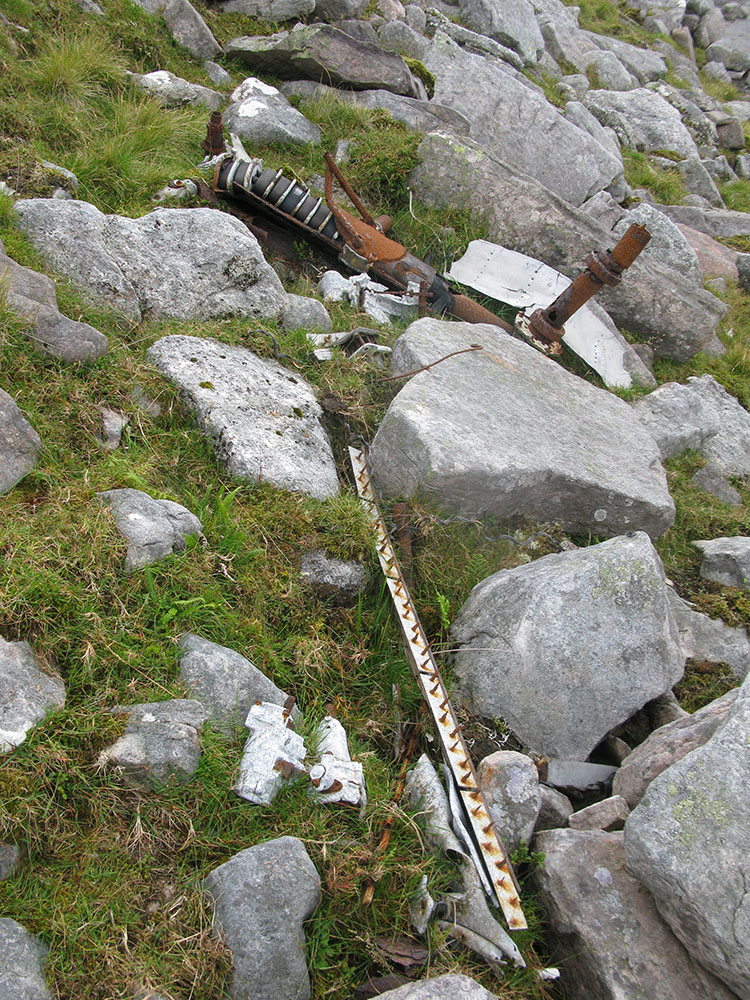
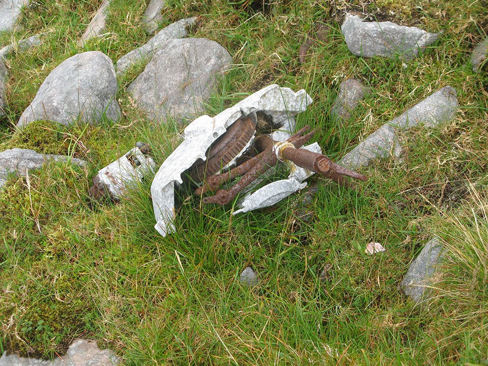
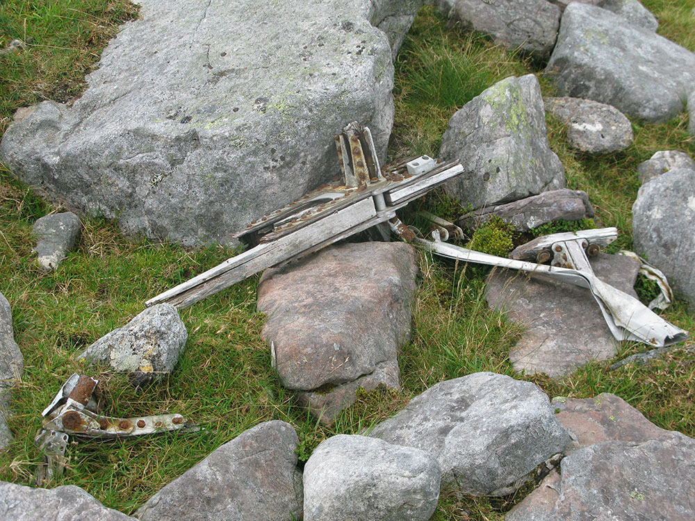
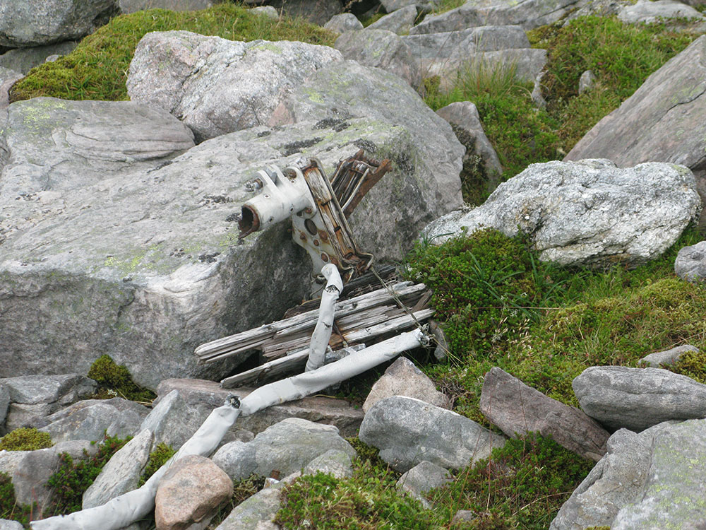
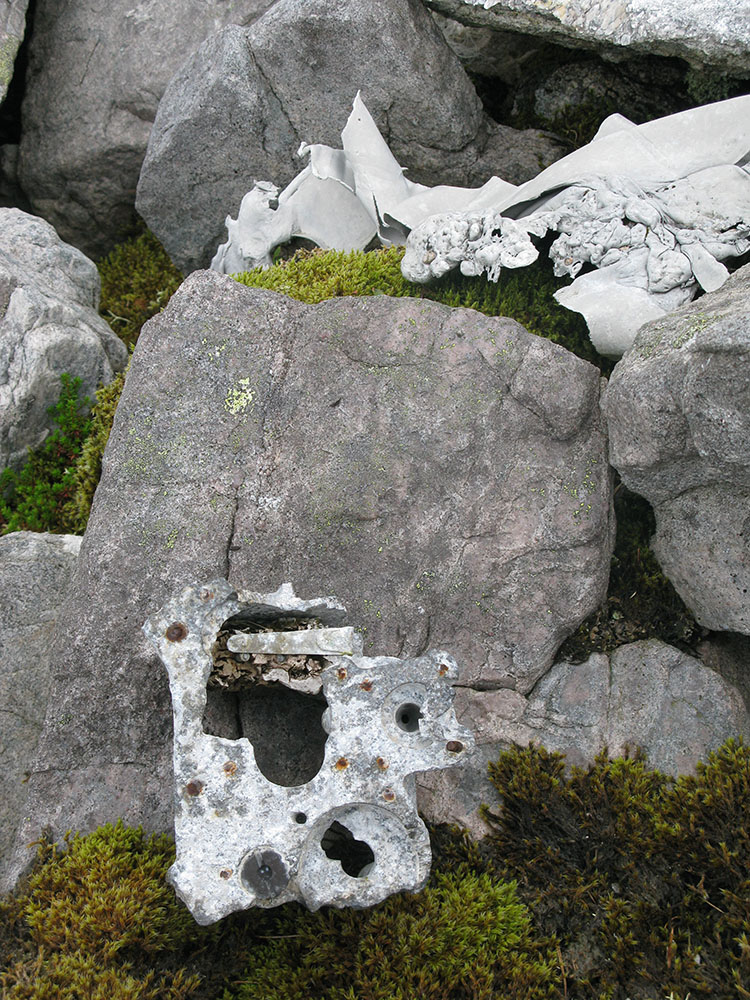
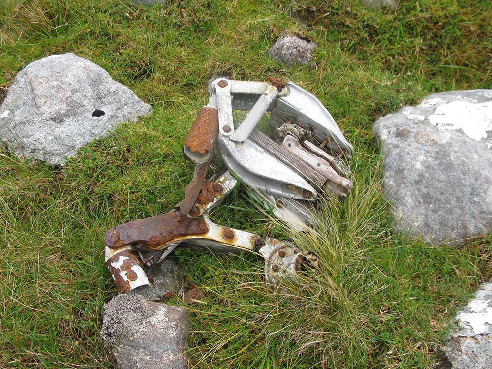
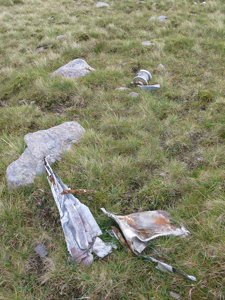
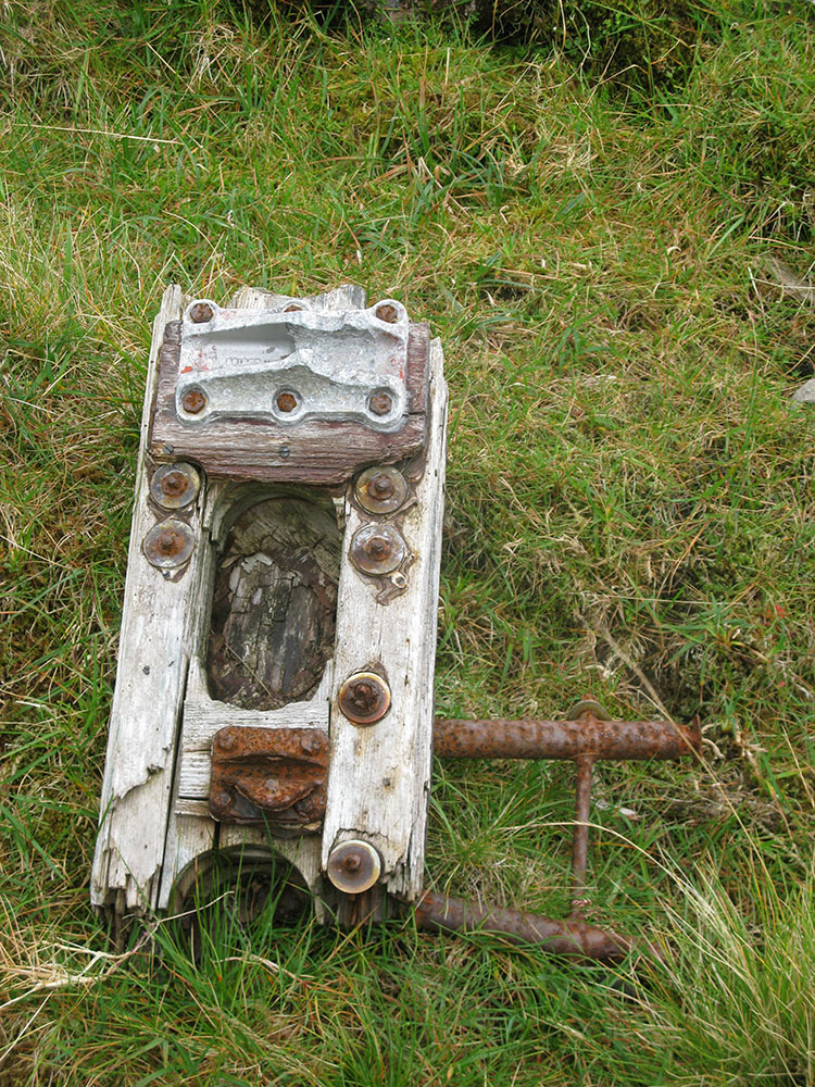
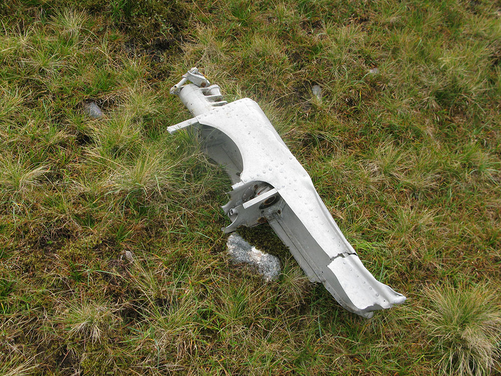
There is a large amount of wreckage at this site, although all pieces of wreckage are small, indicating the severity of the impact. Pieces of undercarriage and some engine parts are recognisable, and several pieces of the Mosquito's wooden components survive. The largest piece of wreckage is a section of the rear elevator (23rd photo below) - this was once much larger as a photograph in HHG2 shows.
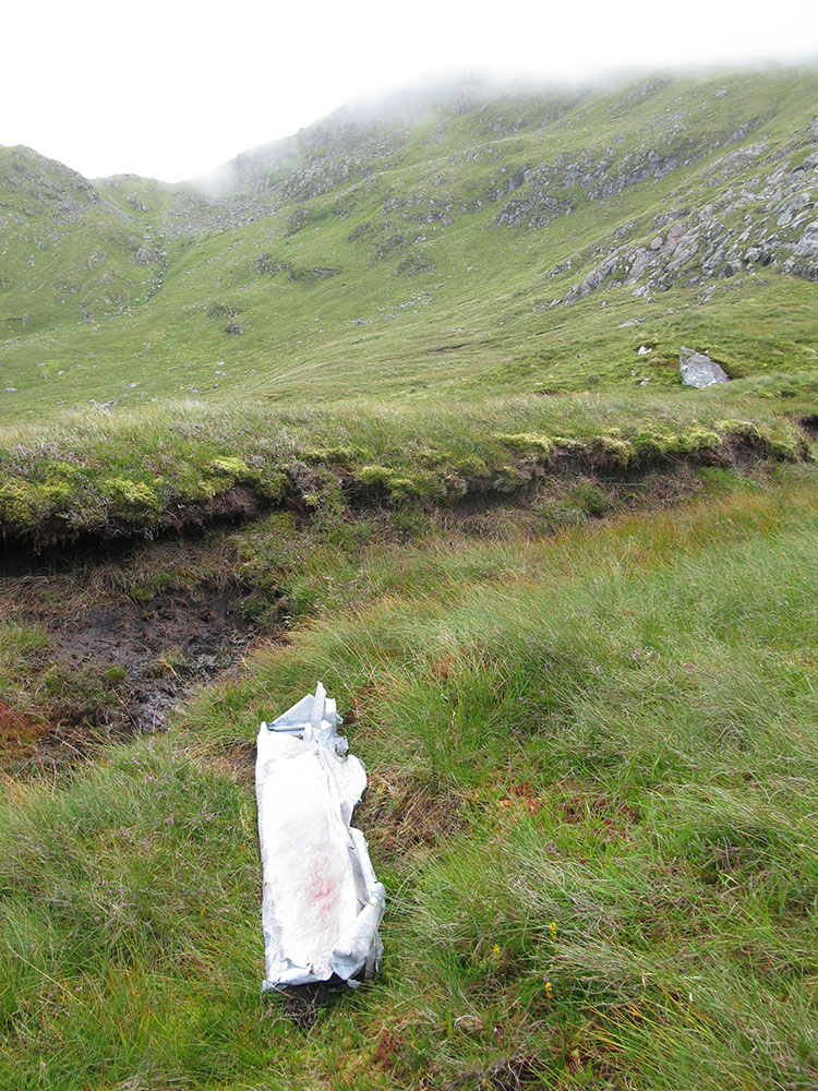
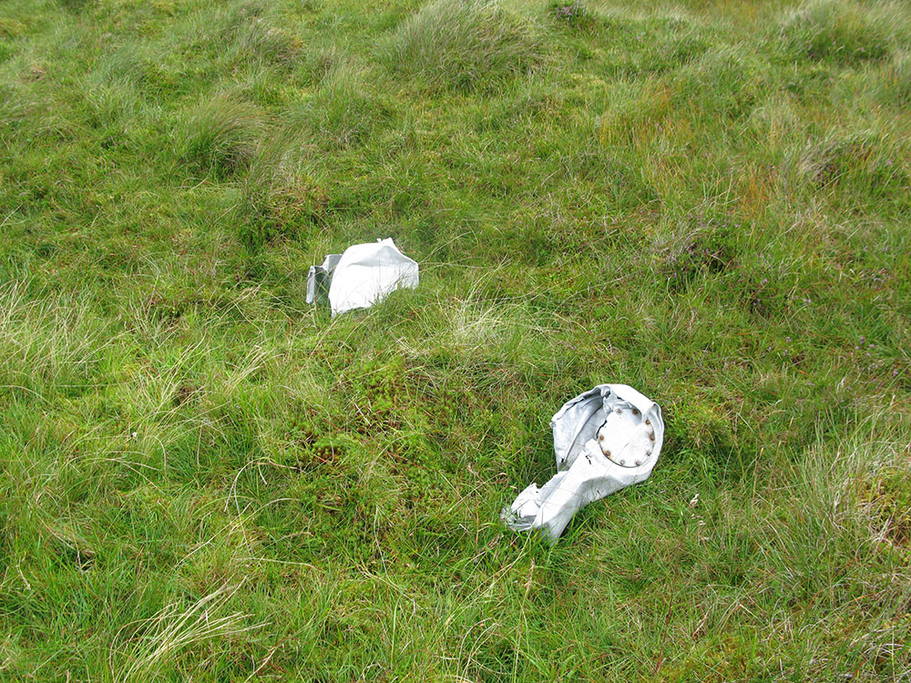
There are also a few pieces of wreckage lower down the hill in Calbhach Coire (25th, 26th and 27th photos below), at altitudes of between about 370 and about 340m, 500m north of the main debris field.
The PDAAR website has some pictures of this wreck site and information about the crash here (including a photo of a section of armour plating that I missed).
These pictures were taken in September 2012.
 |
 |
 |
 |
 |
 |
 |
 |
 |
 |
 |
 |
 |
 |
 |
 |
 |
 |
 |
 |
 |
 |
 |
 |
 |
 |
 |