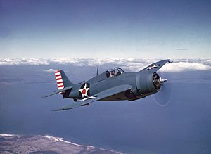
USAF/Armée de l'Air (French Air Force) Douglas B-26 Invader & RN Grumman F4F Wildcat/Martlet, Distinkhorn/Blackside, crash dates 13/08/56 & 02/12/44

[Pictures from wikipedia.org]OS 10-figure grid refs (GPS):
Invader: NS 59289 32140
NS 59305 32118
NS 59309 32145
NS 59327 32155
NS 59337 32117
NS 59360 32169
NS 59397 32204
NS 59437 32250
NS 59455 32286
Martlet: NS 59900 29823Google Maps display showing wreckage locations These two aircraft both crashed in the remote moorland area of East Ayrshire between Sorn and Darvel. The sites lie about 2.5km apart.
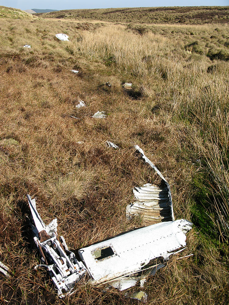
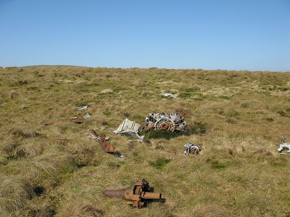
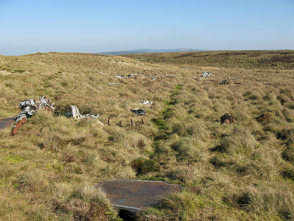
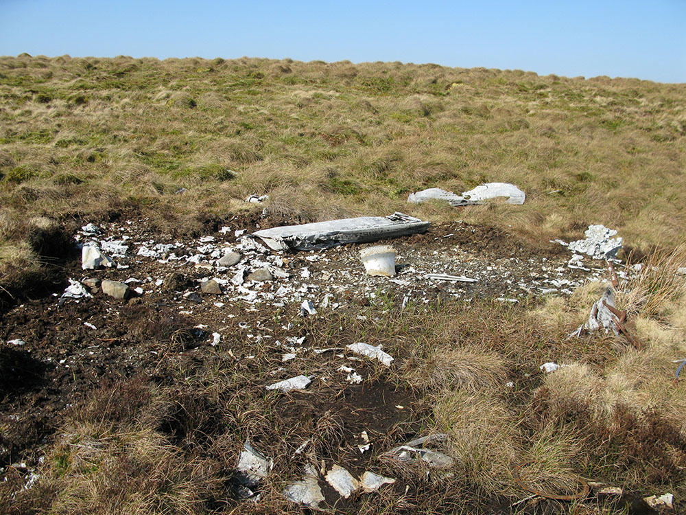
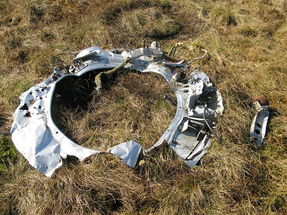
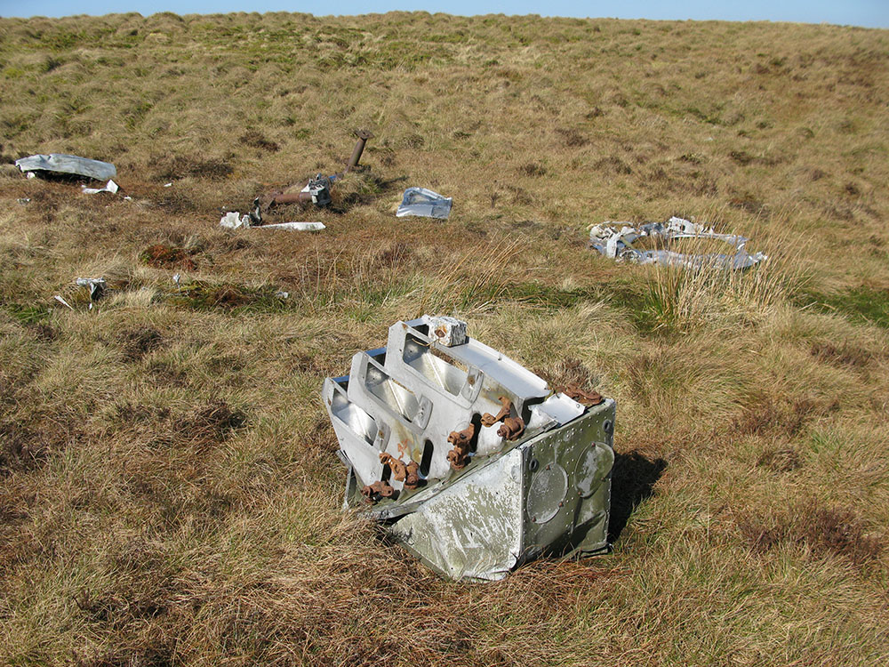
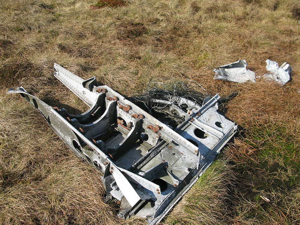
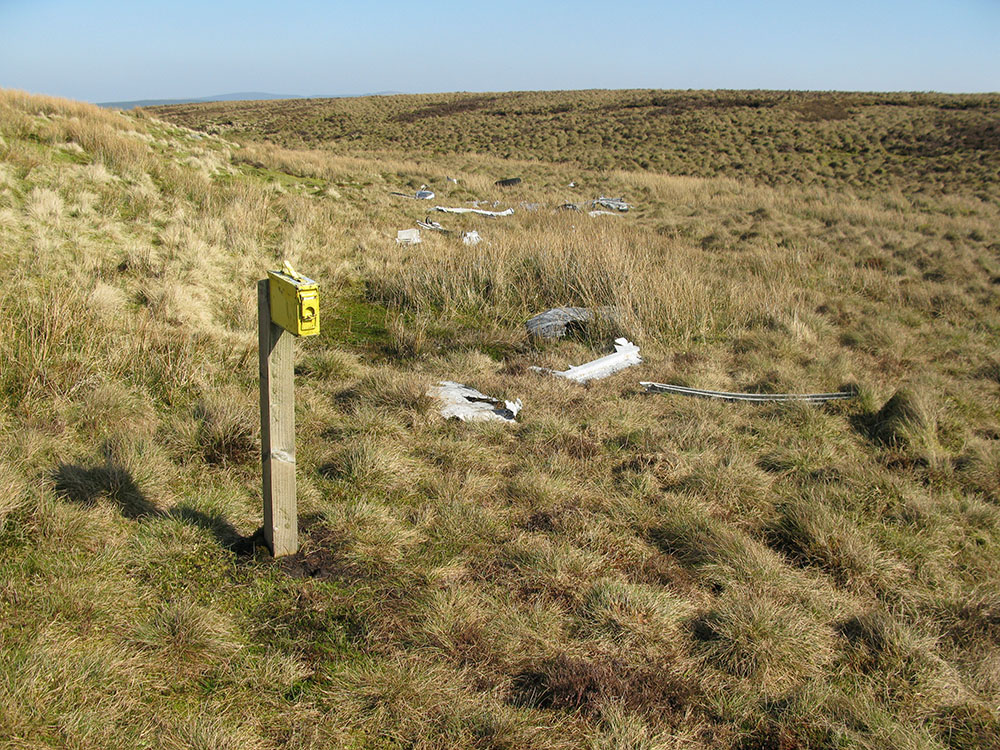
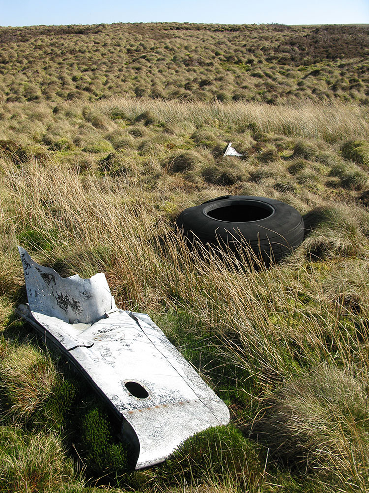
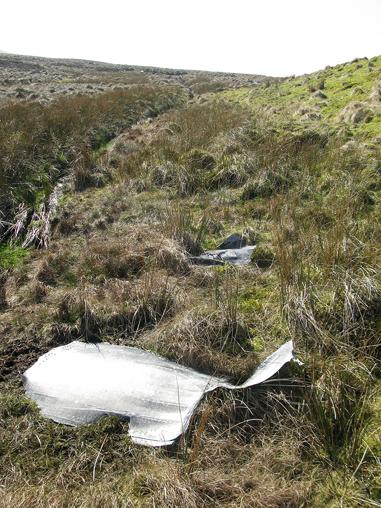
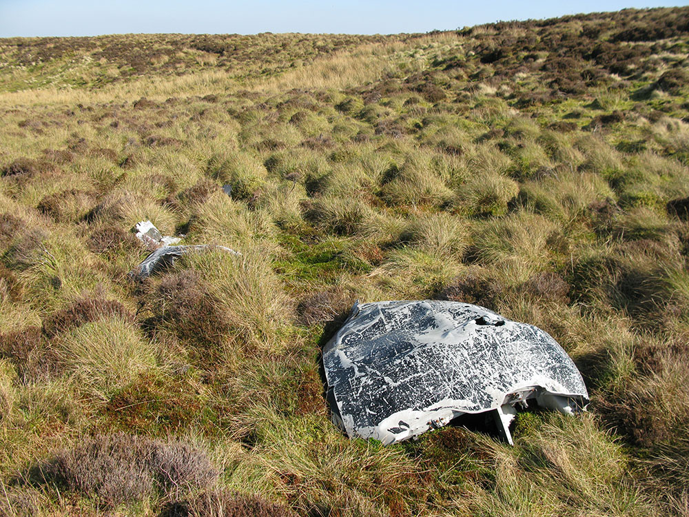
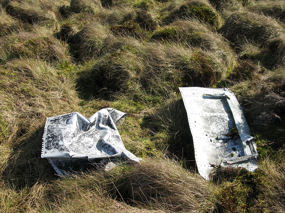
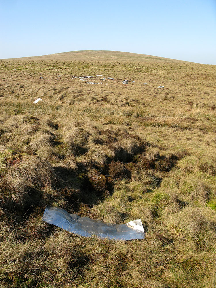
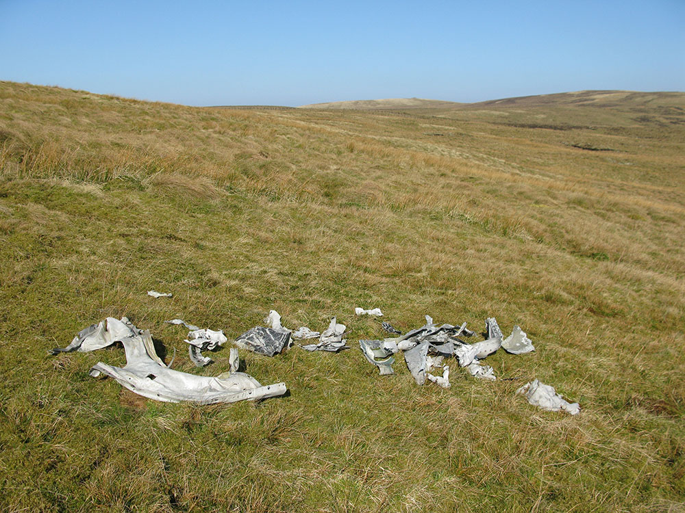
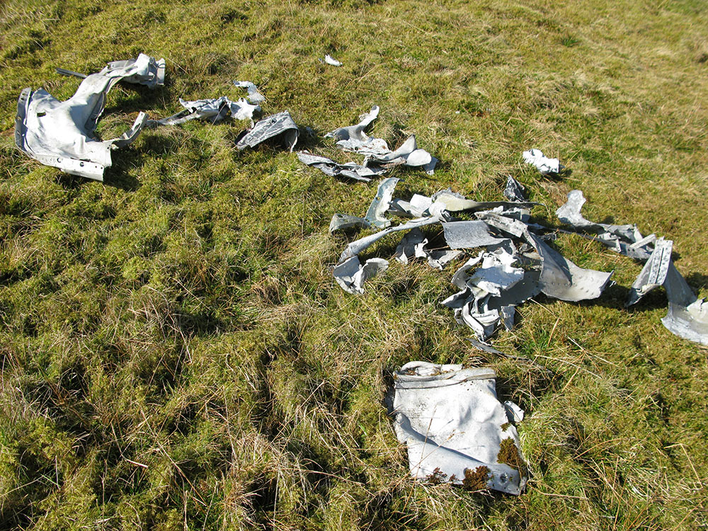
The crash site of the Douglas B-26 Invader lies at the head of the Avon Water river, in an area labelled as 'Draw Grain' on the OS 1:25,000 map of the area, between the minor summits of Distinkhorn and Wedder Hill on Blackside. It lies in a shallow gully at an altitude of about 340m and the large debris field is about 240m in length. Despite being at a relatively low altitude, the site is fairly inaccessible as all approaches are on pathless, featureless, boggy and difficult terrain.
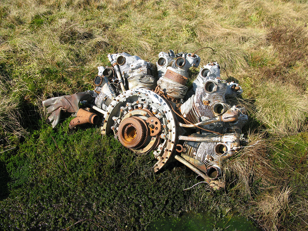
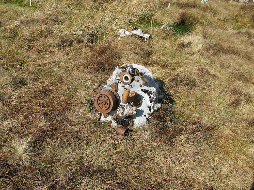
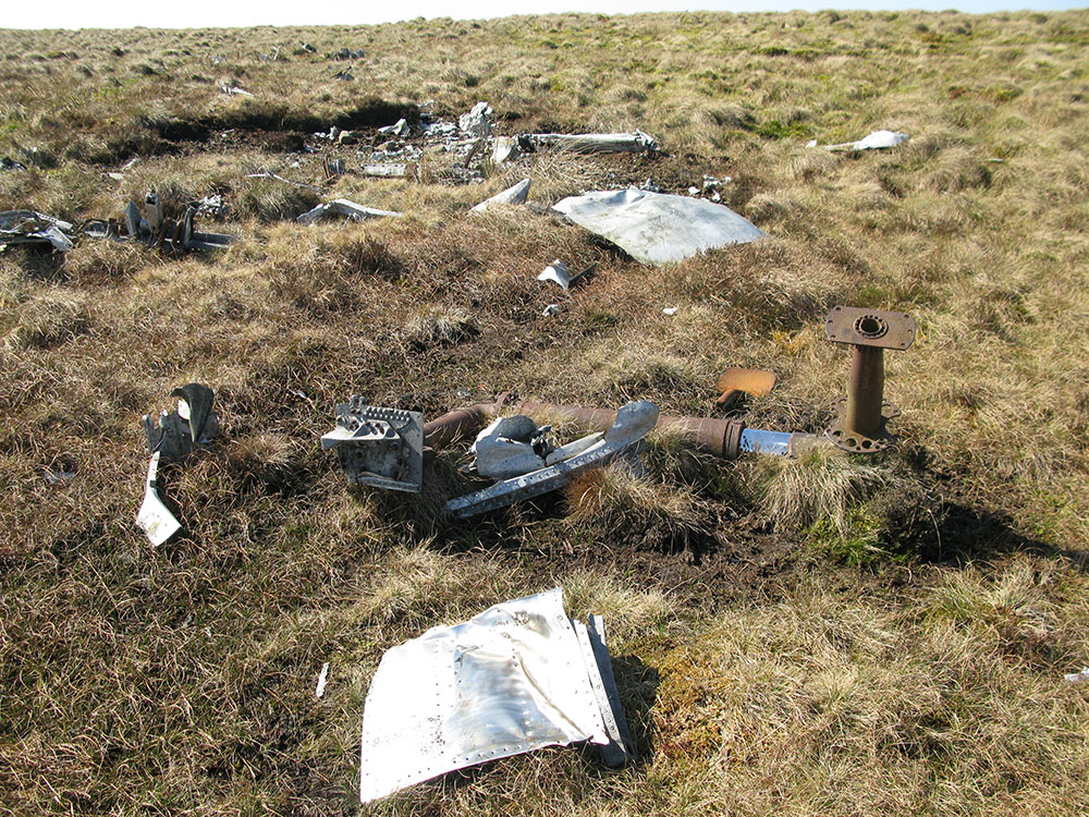
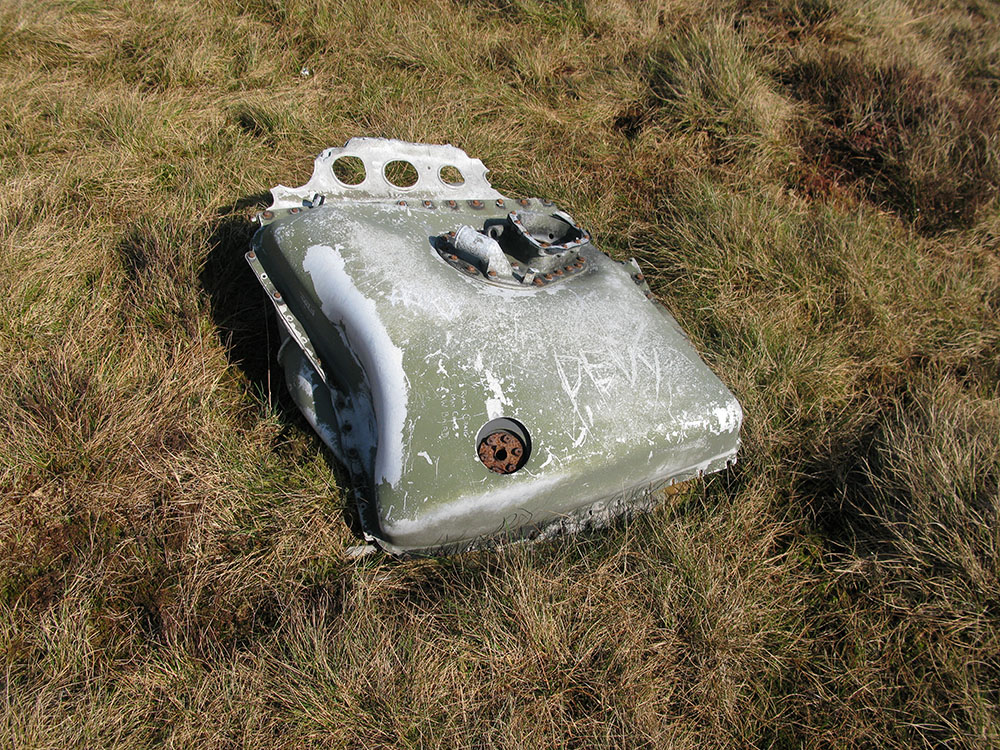
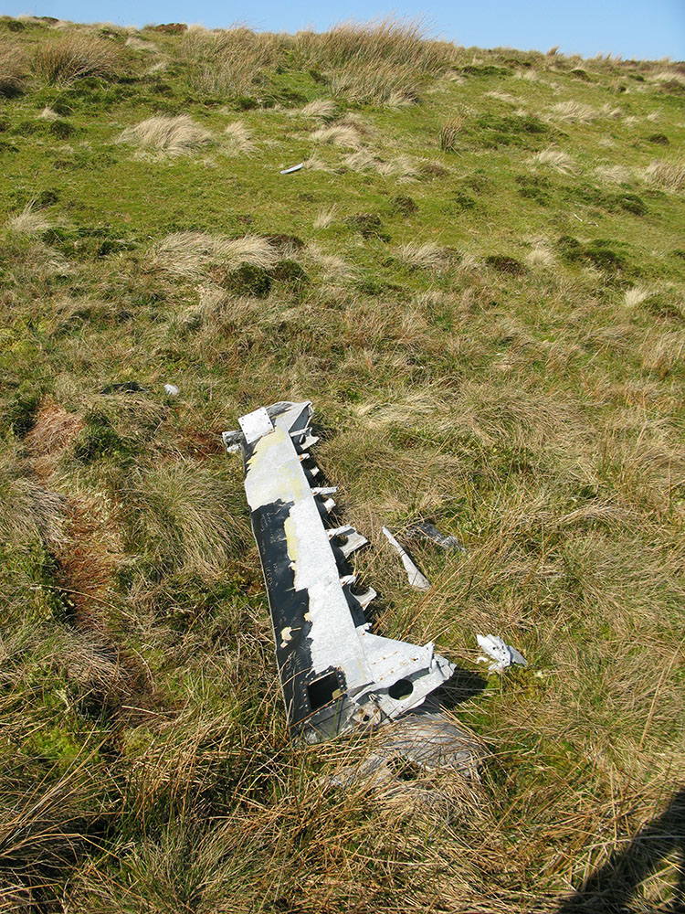
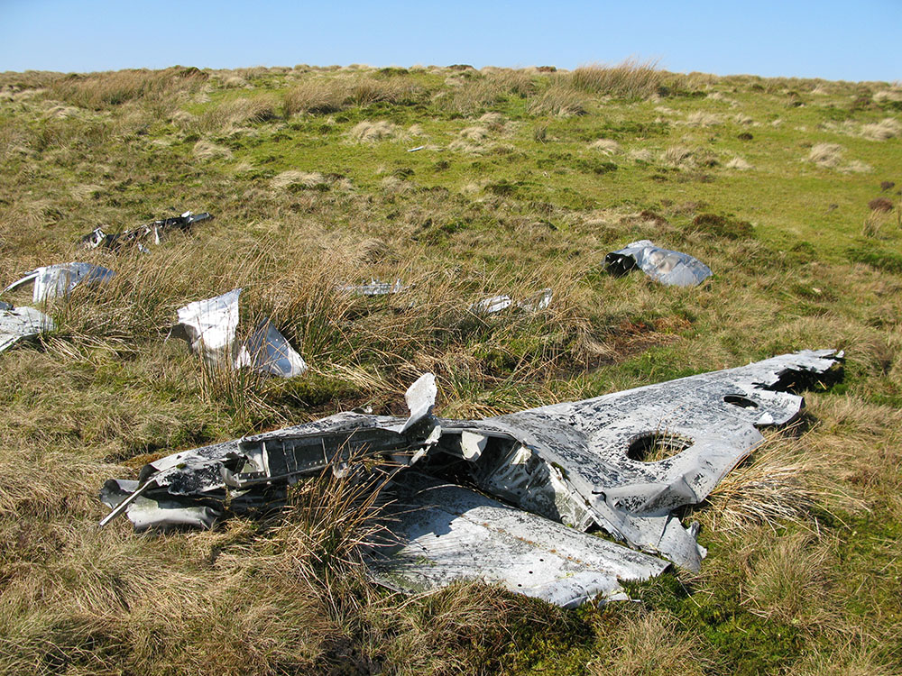
Many substantial parts of the Invader are still recognisable including one of the Pratt & Whitney R-2800 18-cylinder engines half-submerged in boggy ground (4th photo below), sections of what appear to be armour plating (third photo below), a fuel tank (11th photo below) and an undercarriage section (7th photo below). A small crater contains many burnt and mangled pieces of wreckage (6th photo below) and it is possible that the other engine was largely destroyed.
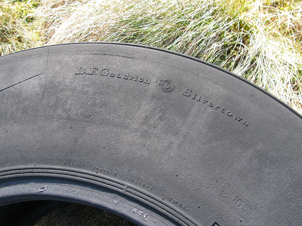
Another interesting piece of wreckage at this site is a large tyre (16th photo below). According to the ACSS website, this tyre is not connected to the crash, although this seems very unlikely. The tyre looks like an aircraft tyre and has 'MADE IN USA' and 'B.F.Goodrich' (a major US tyre manufacturer that made the wheels for many aircraft including the NASA Space Shuttles) embossed on it (15th photo below). Another unusual aspect of the site is a box containing a visitor's book, a unique feature of this particular wreck site (12th photo below).
The PDAAR website has some pictures of this wreck site and information about the crash here. The ACSS website has some pictures of this wreck site and information about the crash here.
There is a website with some interesting details about the crash and some photographs of the wreck site taken in the immediate aftermath of the crash:
http://www.ayrshirehistory.com/sorn_air_accidents.htmlThere are some photos of the site on Flickr:
http://www.flickr.com/photos/johncayr/4182228273/in/set-72157594281658146/The wreck site of the Martlet consists of a single small pile of largely unrecognisable small sections of metal debris, about 500m east of the summit of Auchenlongford Hill on Blackside at an altitude of about 400m.
The PDAAR website has some pictures of this wreck site and information about the crash here.
There is a photo of the site on Flickr:
http://www.flickr.com/photos/johncayr/4188405482/in/set-72157594281658146The sites are about 15km north-west of the Hawker Typhoon wrecksite, also on the East Ayrshire moors, see my page about this site here.
These pictures were taken in March 2012.
Invader:
 |
 |
 |
 |
 |
 |
 |
 |
 |
 |
 |
 |
 |
 |
 |
 |
 |
 |
 |
 |
Martlet:
 |
 |