May - July 2009 photos
Beinn Stacath
 |
 |
 |
 |
|
Stob Binnein and Ben More from the east ridge of Beinn Stacath
Date: 03/05/09 GPS: N 56.32087° W 4.43322° Altitude: 551m Google Maps Location |
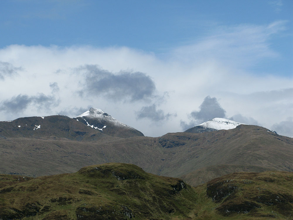
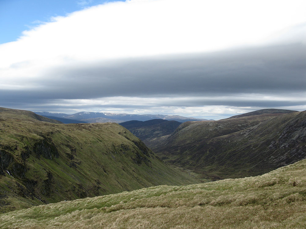
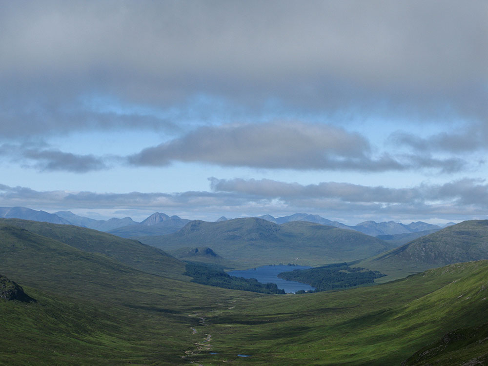
Ben Vorlich and Stùc a'Chroin from the east ridge of Beinn Stacath
Date: 03/05/09 GPS: N 56.32087° W 4.43322° Altitude: 551m Google Maps Location |
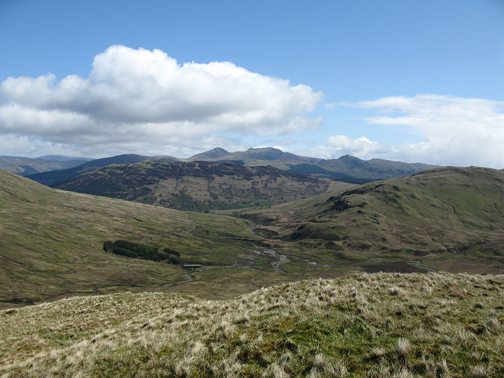
Beinn Tulaichean, Cruach Ardrain, Stob Binnein and Ben More from the summit of Beinn Stacath
Date: 03/05/09 GPS: N 56.31461° W 4.46805° Altitude: 771m Google Maps Location |
Tolmount
 |
|||
Ben More
 |
 |
||
|
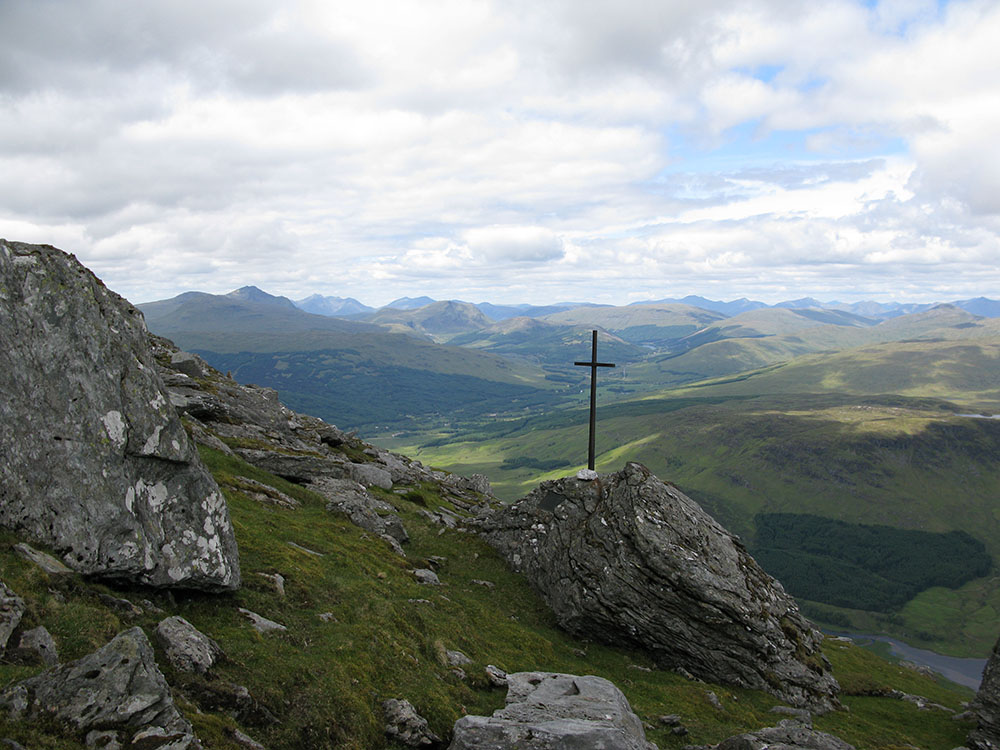
Memorial on the northern slopes of Ben More
Date: 07/06/09 GPS: N 56.38980° W 4.54289° Altitude: 934m Google Maps Location |
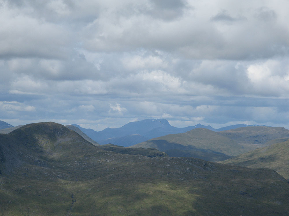
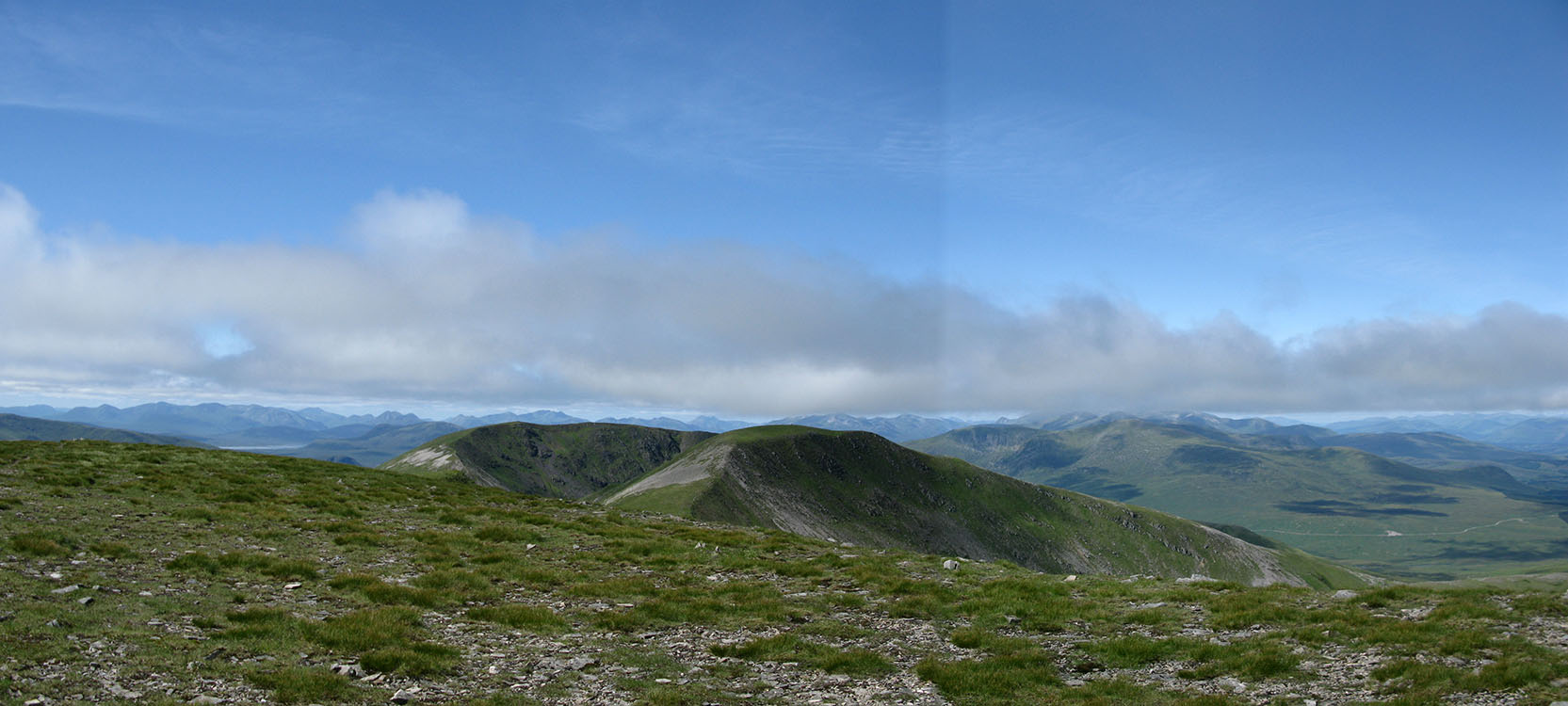
Ben Challum and Ben Nevis from the north-east ridge of Ben More
Date: 07/06/09 GPS: N 56.38984° W 4.53450° Altitude: 1042m Google Maps Location |
Geal-chàrn
 |
 |
 |
|
|
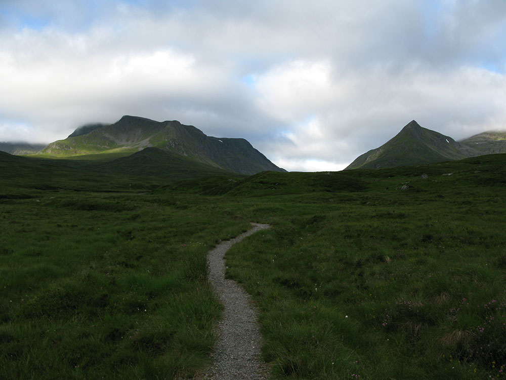
Ben Alder and the Lancet Edge of Sgor lutharn
Date: 10/07/09 GPS: N 56.84911° W 4.42894° Altitude: 479m Google Maps Location |
Loch Ossian from near the summit of Geal-chàrn
Date: 10/07/09 GPS: N 56.82980° W 4.48902° Altitude: 902m Google Maps Location |
Looking towards Aonach Beag and Beinn Eibhinn from the summit of Geal-chàrn; Glencoe, the Mamores and Ben Nevis beyond
Date: 10/07/09 GPS: N 56.83783° W 4.50973° Altitude: 1132m Google Maps Location |
|