January - April 2009 photos
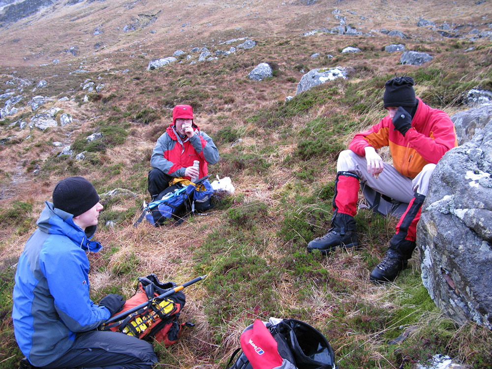
Sgurr Breac
 |
 |
 |
 |
 |
|||
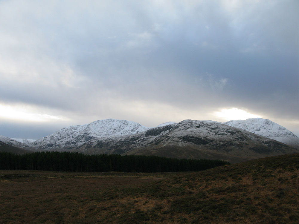
Ben Tirran
 |
 |
 |
 |
 |
 |
||
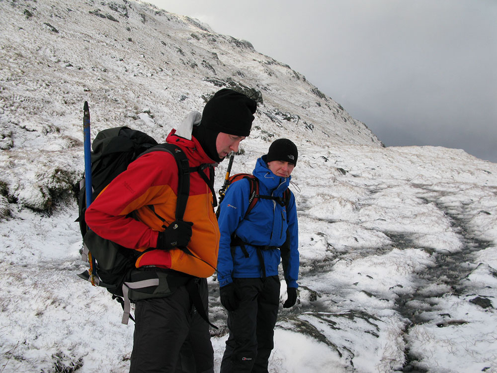
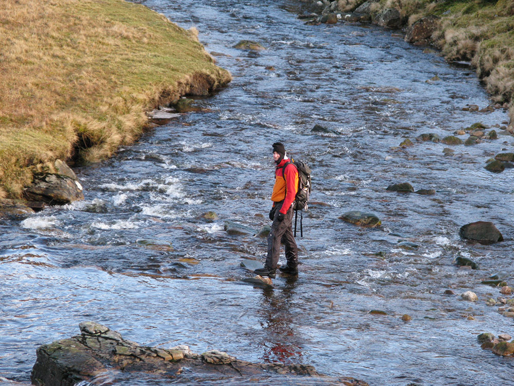
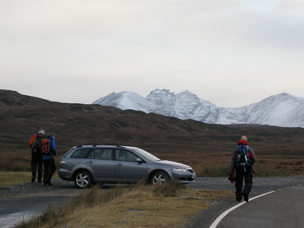
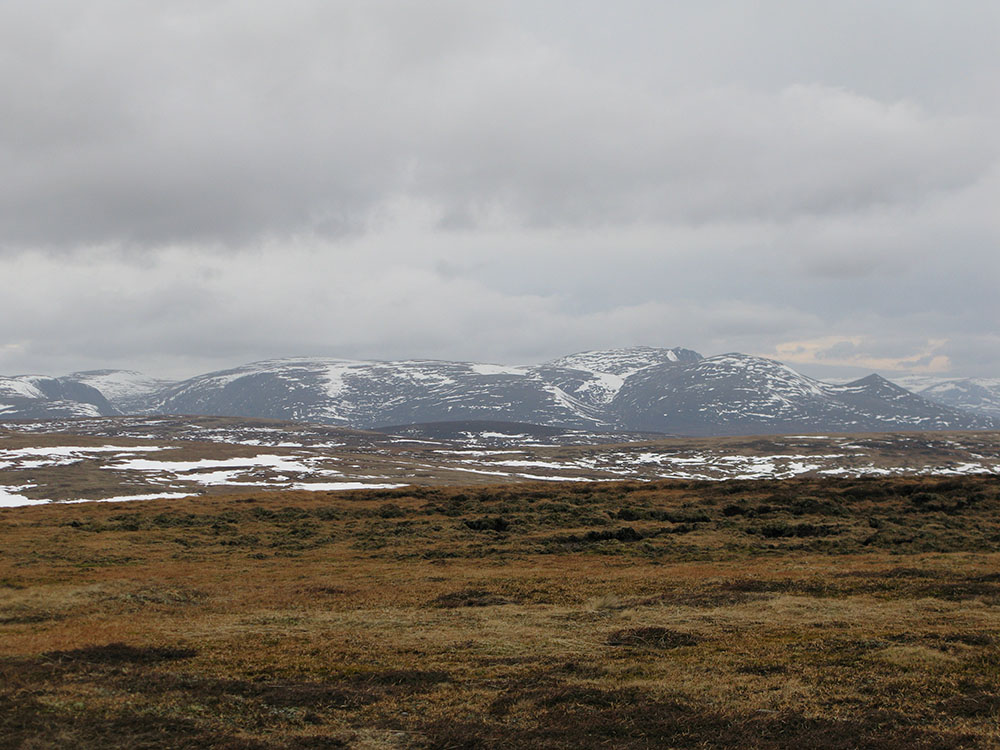
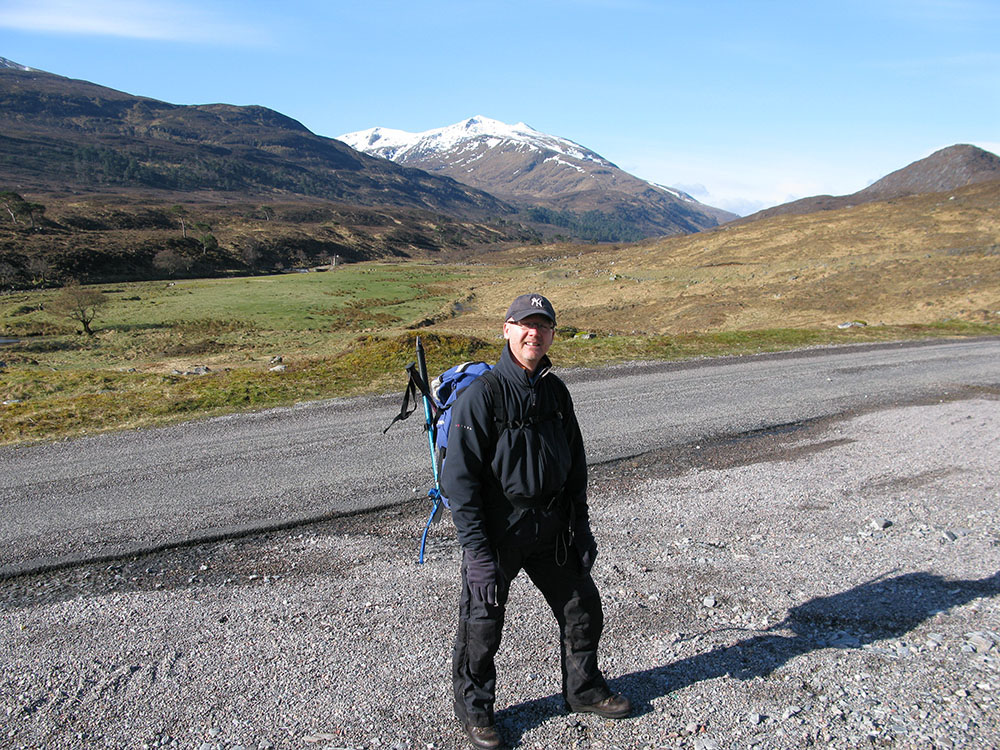
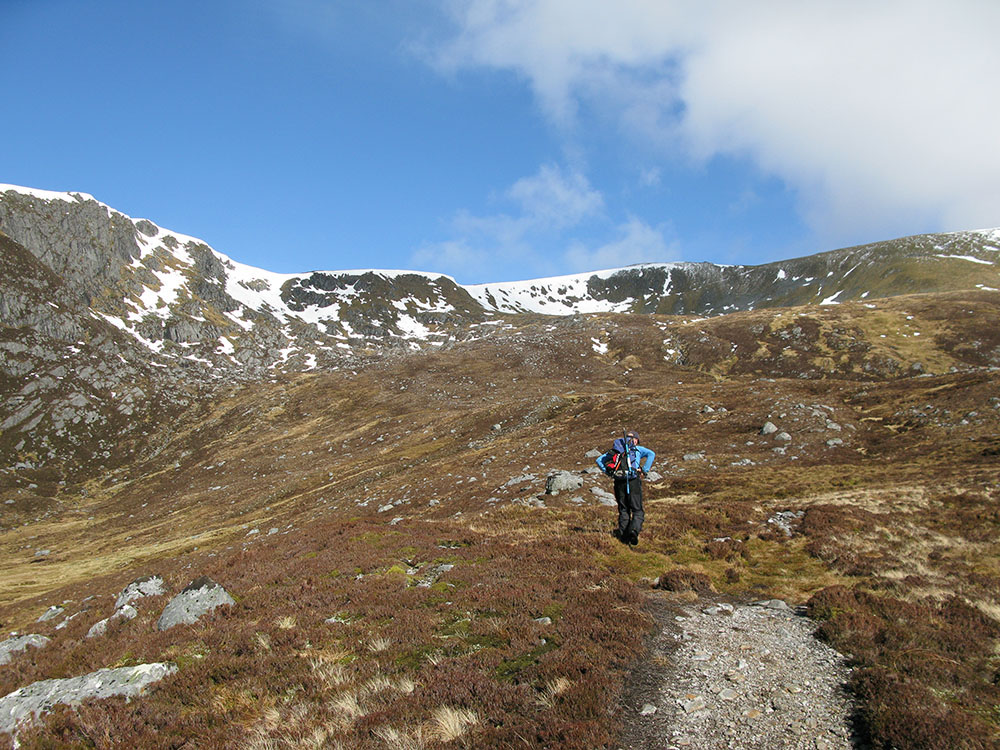
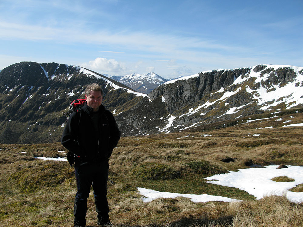
Glen Strathfarrar
 |
 |
 |
 |
 |
 |
 |
|
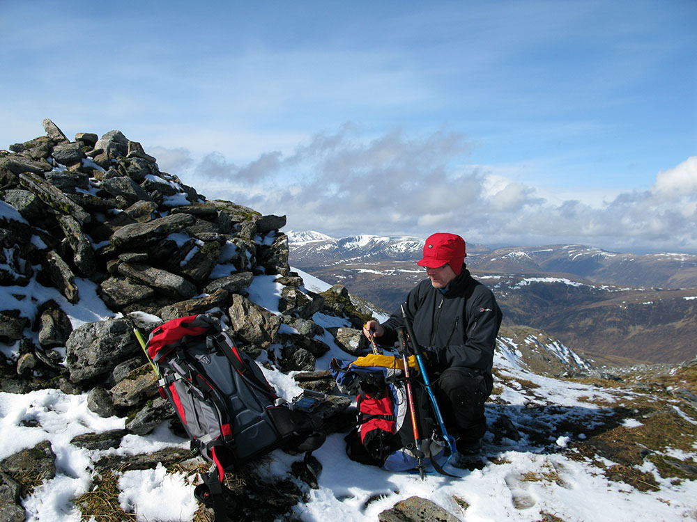
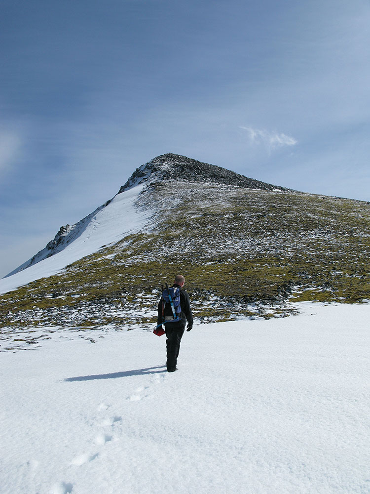
On the summit of Sgurr Fhuar-thuill
Date: 05/04/09 GPS: N 57.44969° W 4.94180° Altitude: 1049m Google Maps Location |
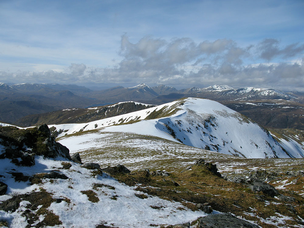
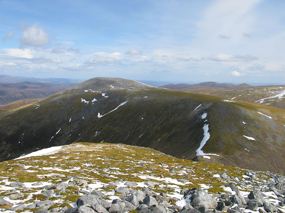
Sgurr na Fearstaig from the summit of Sgurr Fhuar-thuill; summits of West Monar in the background
Date: 05/04/09 GPS: N 57.44969° W 4.94180° Altitude: 1049m Google Maps Location |
||
 |
 |
 |
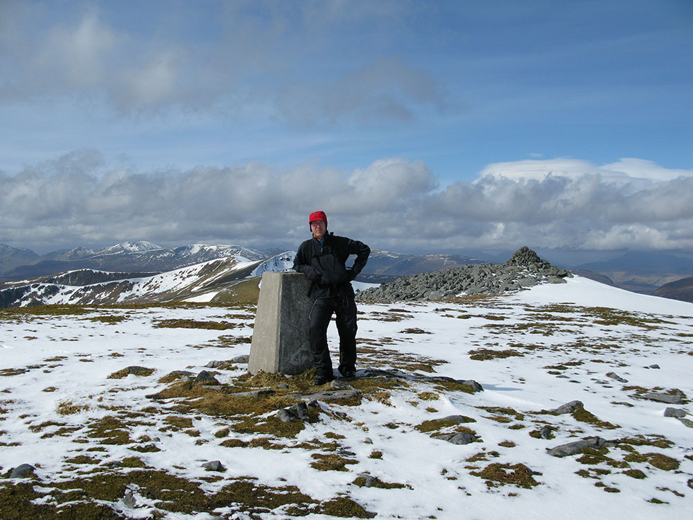 |
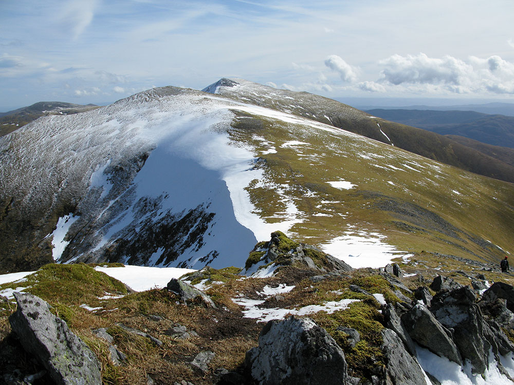
On the summit of Sgurr a'Choire Ghlais
Date: 05/04/09 GPS: N 57.44398° W 4.90305° Altitude: 1083m Google Maps Location |
|||
 |
 |
 |
|
|
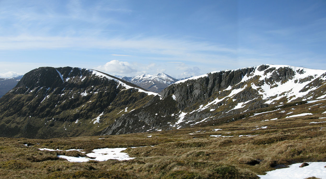
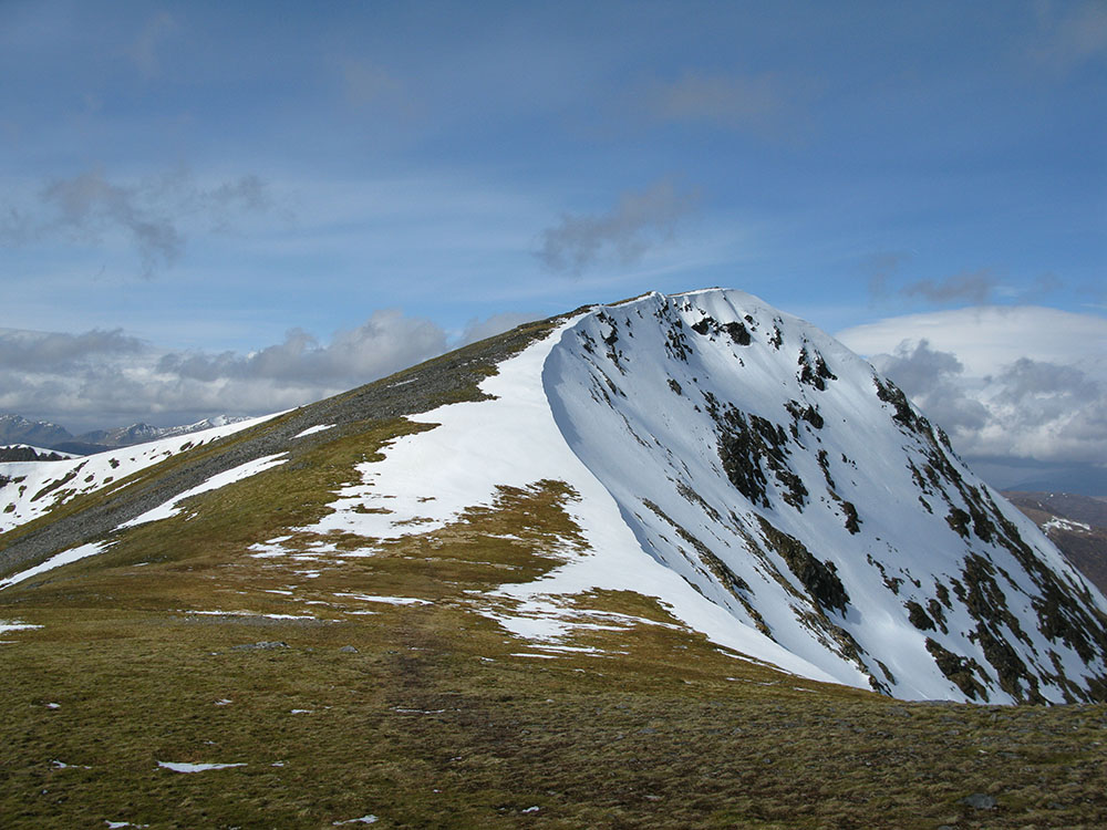
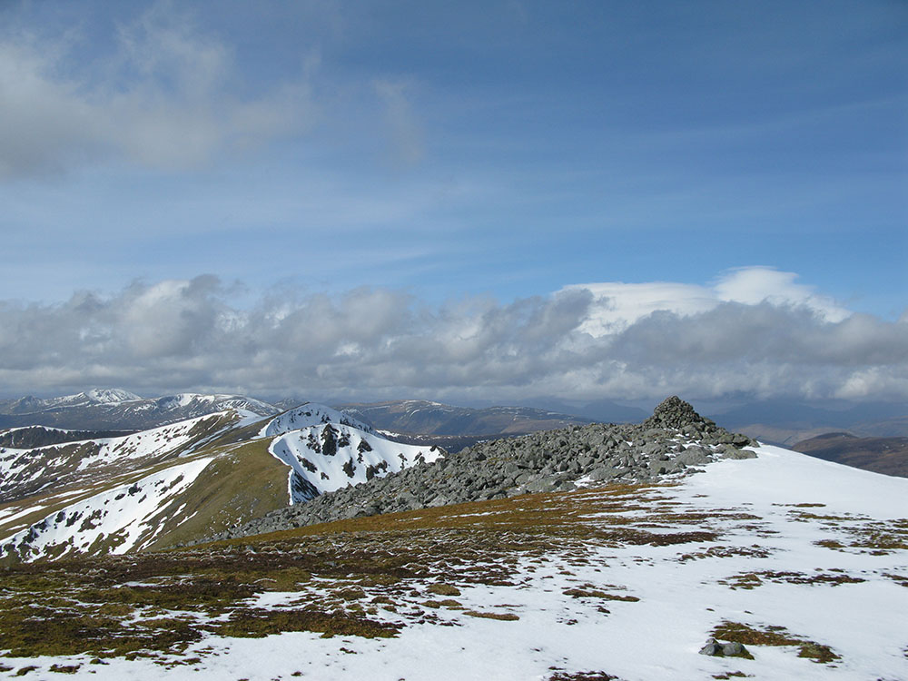
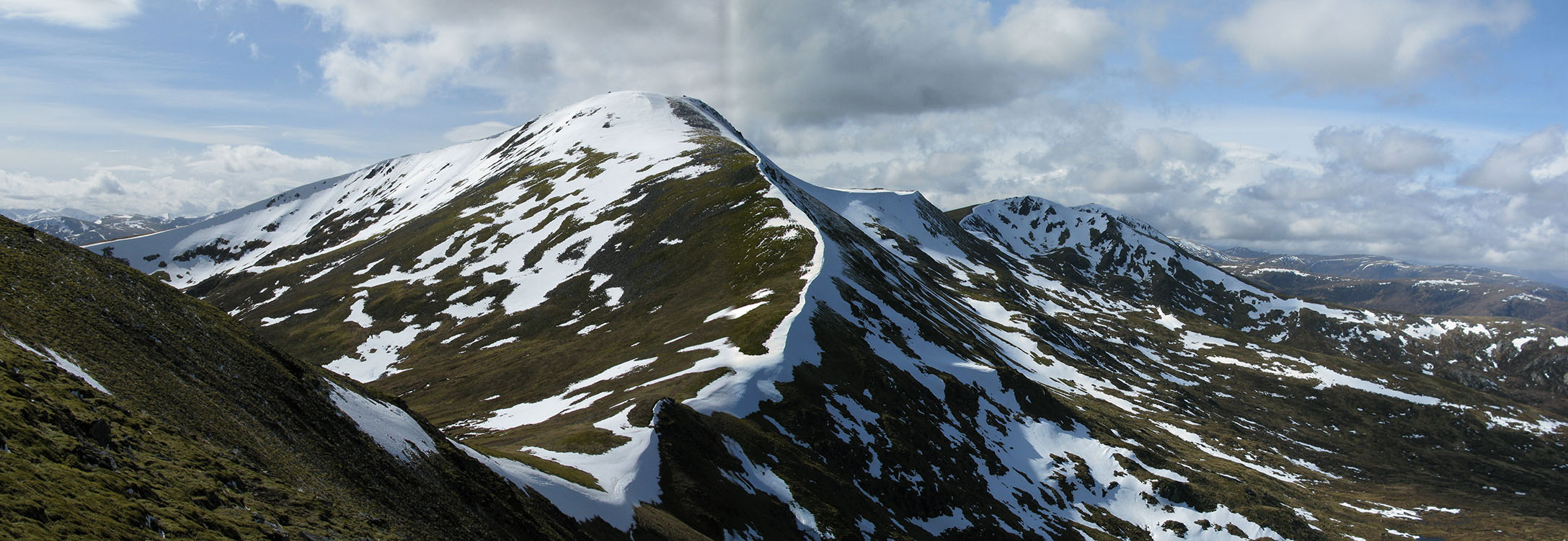
Looking west from the summit of Sgurr a'Choire Ghlais to Sgurr Fhuar-thuill
Date: 05/04/09 GPS: N 57.44398° W 4.90305° Altitude: 1083m Google Maps Location |
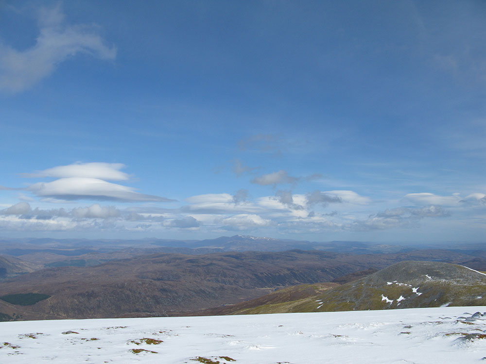
Lenticular clouds over Ben Wyvis from the summit of Sgurr a'Choire Ghlais
Date: 05/04/09 GPS: N 57.44398° W 4.90305° Altitude: 1083m Google Maps Location |
||
 |
|||