November 08 - December 08 photos
Auchnafree Hill
 |
 |
 |
 |
|
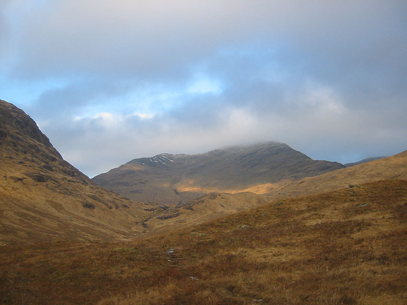
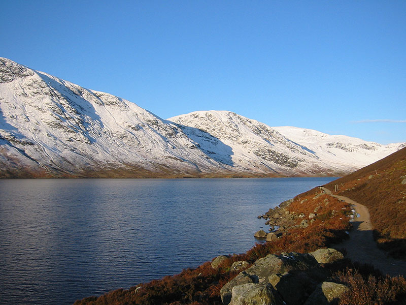
Loch Turret Reservoir and Ben Chonzie
Date: 31/11/08 GPS: N 56.42607° W 3.92788° Altitude: 368m Google Maps Location |
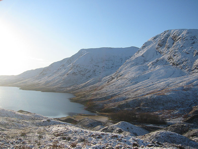
Loch Turret Reservoir and Càrn Chòis
Date: 31/11/08 GPS: N 56.44522° W 3.95026° Altitude: 414m Google Maps Location |
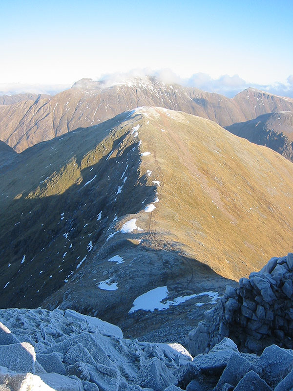
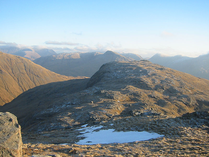
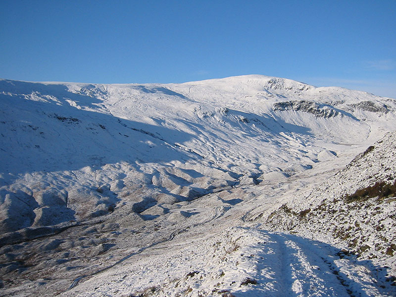
Drumlins in upper Glen Turret with Ben Chonzie above
Date: 31/11/08 GPS: N 56.44527° W3.94387° Altitude: 544m Google Maps Location |
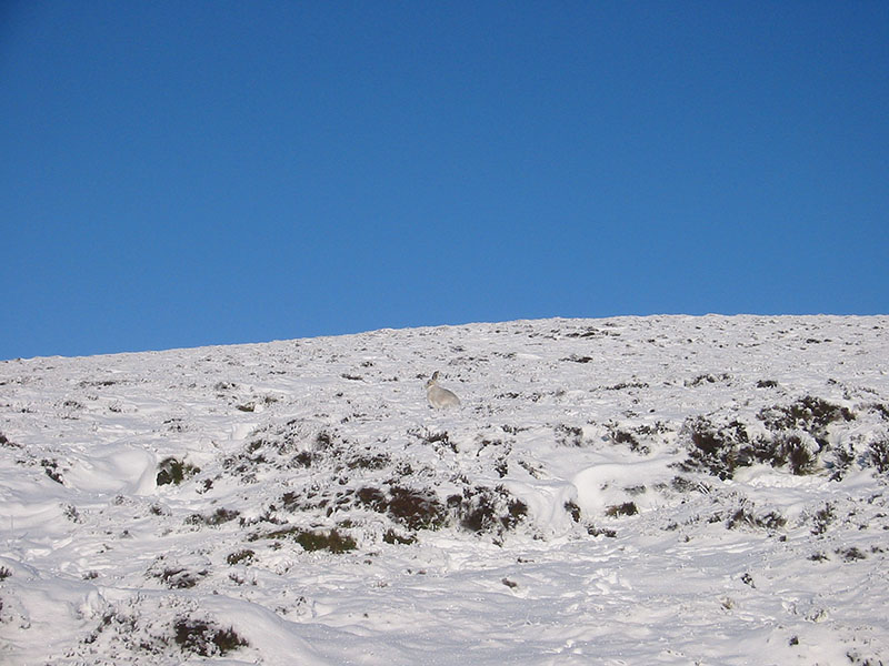
Mountain hare near the summit of Auchnafree Hill
Date: 31/11/08 GPS: N 56.44762° W 3.93317° Altitude: 724m Google Maps Location |
 |
 |
 |
 |
|
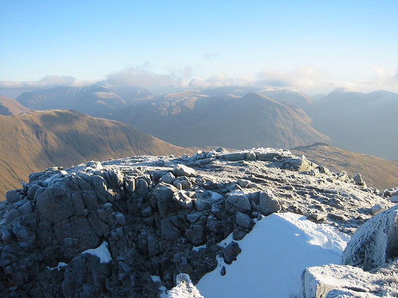
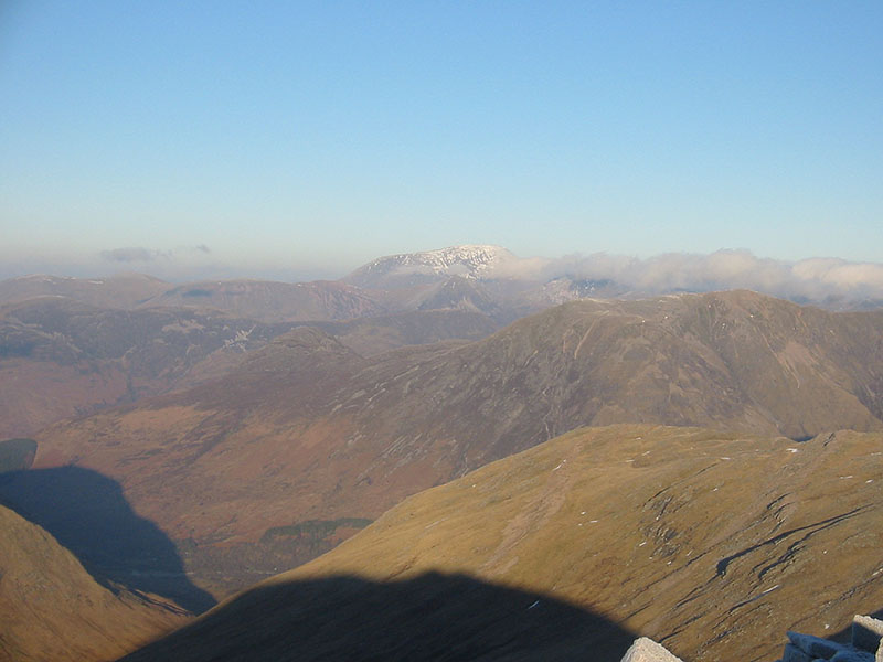
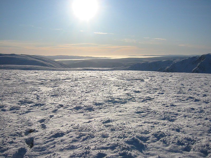
Looking towards the Ochil hills and the central lowlands from near the summit of Auchnafree Hill
Date: 31/11/08 GPS: N 56.45026° W 3.93381° Altitude: 767m Google Maps Location |
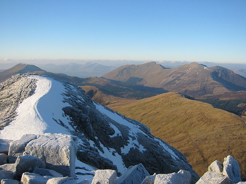
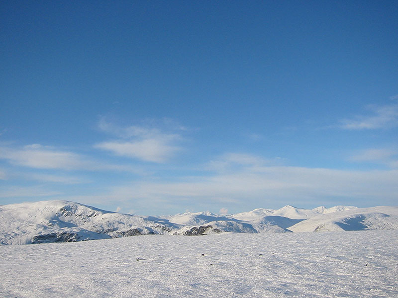
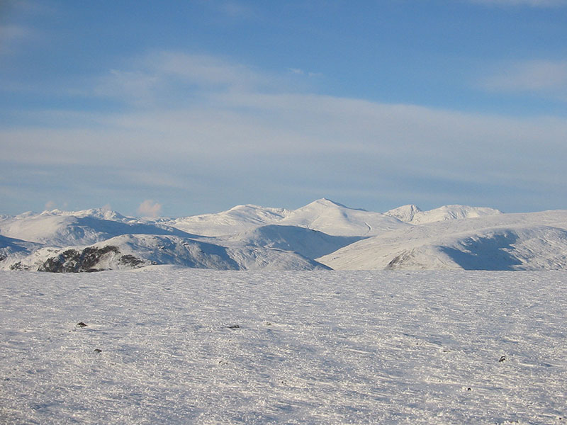
The Ben Lawers range from the summit of Auchnafree Hill
Date: 31/11/08 |
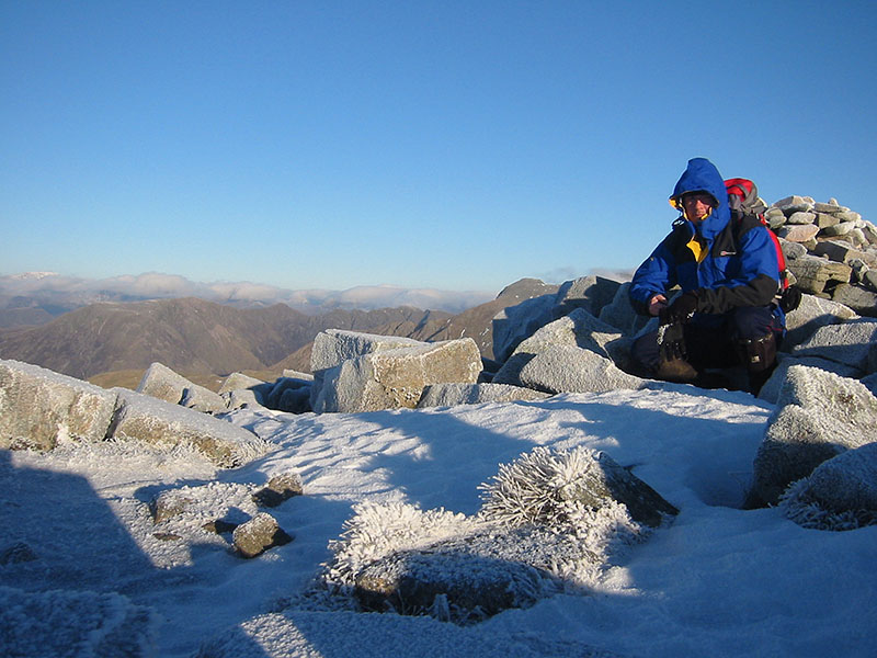
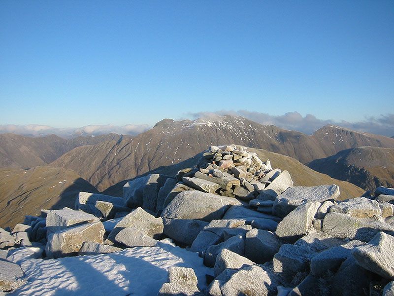
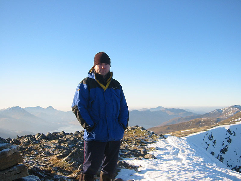
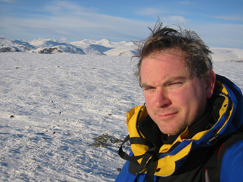
On the summit of Auchnafree Hill
Date: 31/11/08 |