May - July 2012 photos
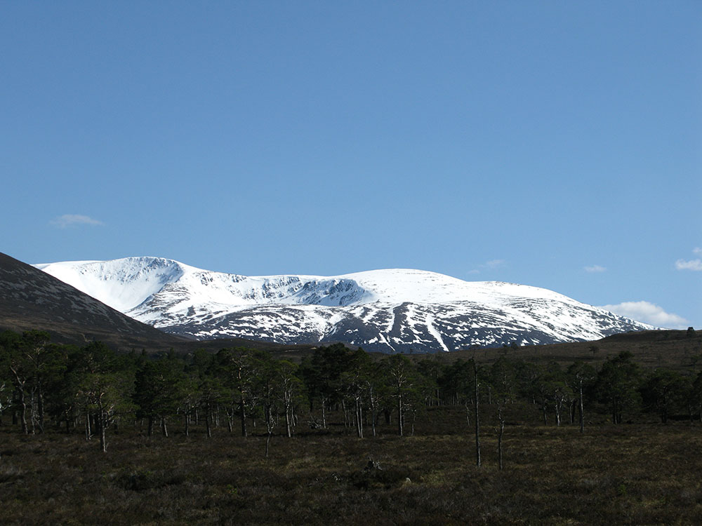
Rothiemurchus and Creag a'Chalamain
Glen Tilt, Glen Geusachan, the Mòine Mhòr and Gleann Einich
 |
 |
 |
 |
|
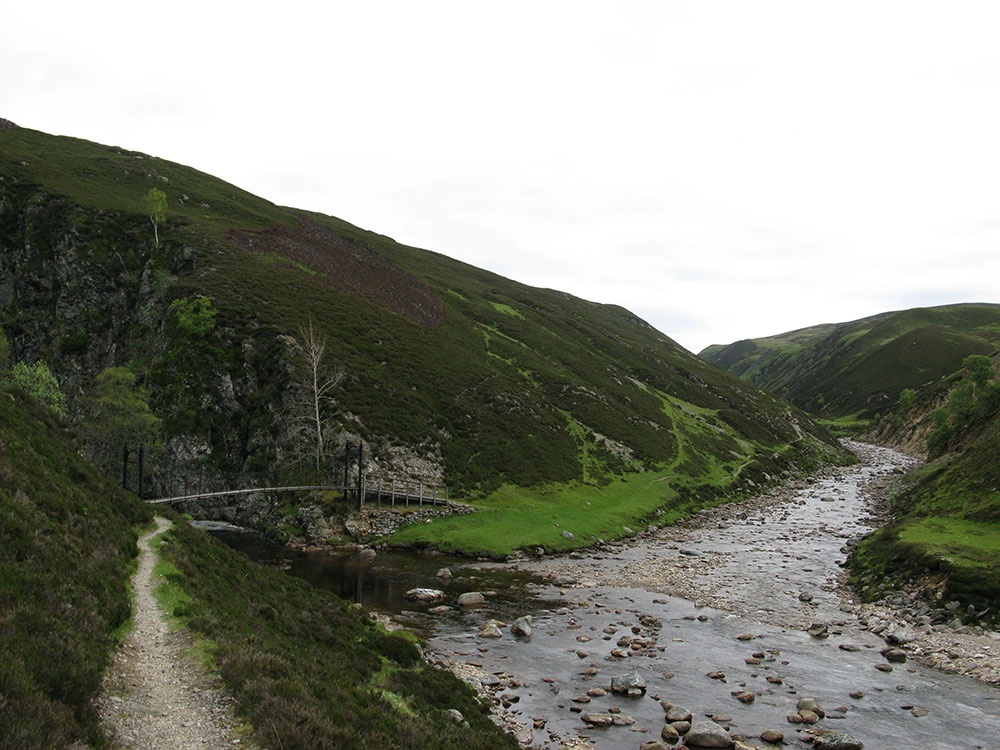
The Bedford Bridge at the confluence of the rivers Tarf and Tilt in Glen Tilt
Date: 02/06/12 GPS: N 56.89564° W 3.67095° Altitude: 405m Google Maps Location |
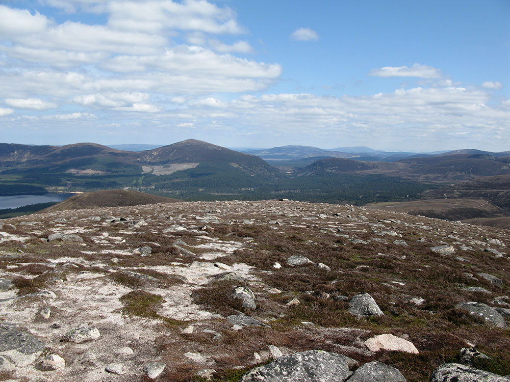
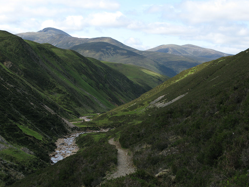
The Cairngorms from upper Glen Tilt
Date: 02/06/12 GPS: N 56.94489° W 3.64263° Altitude: 477m Google Maps Location |
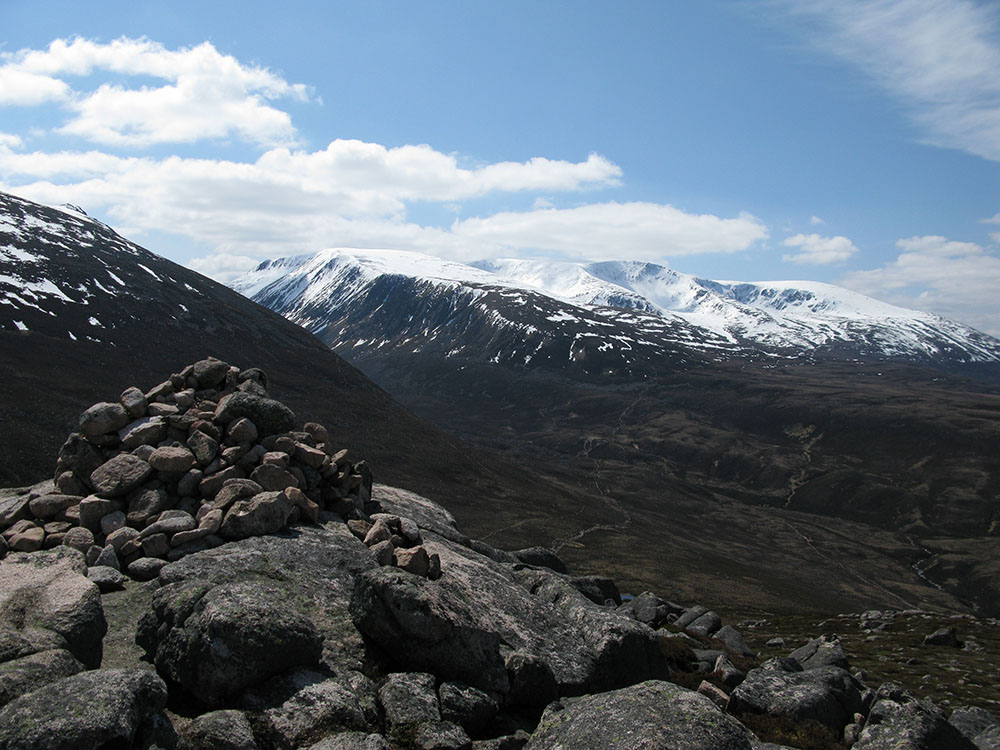
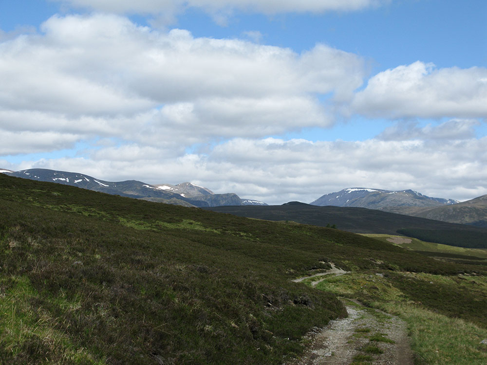
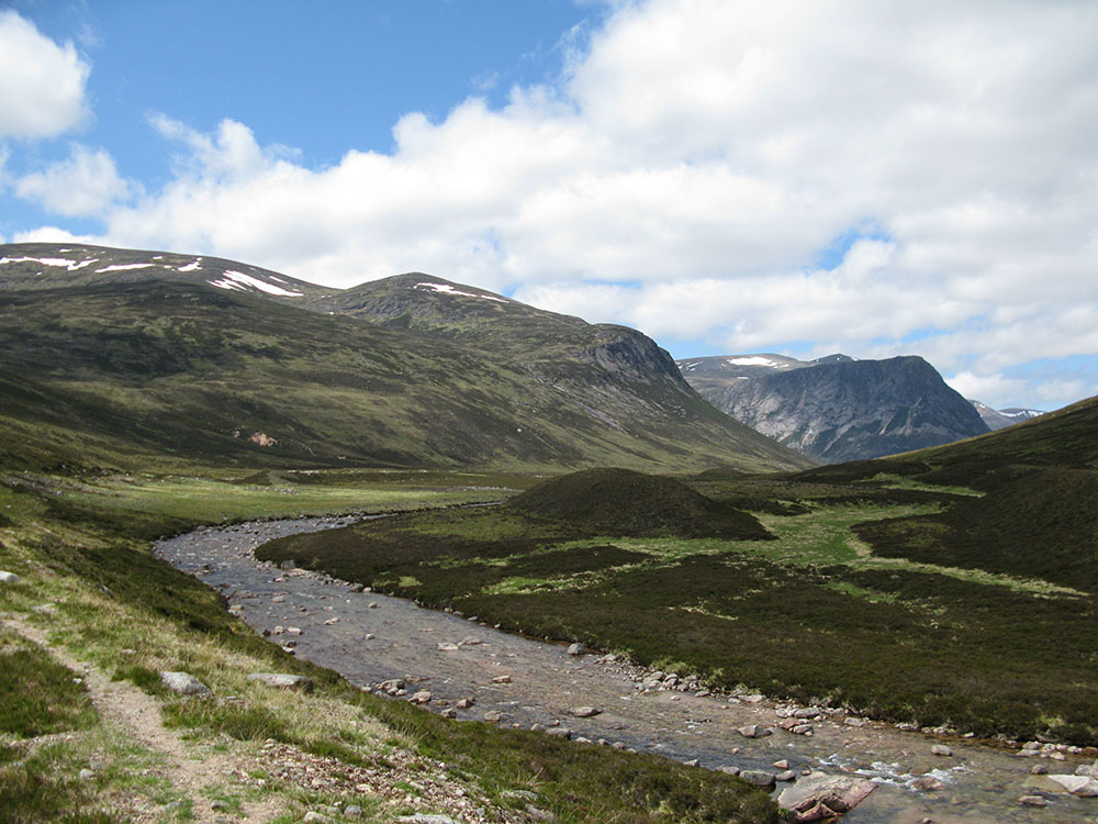
Beinn Bhrotain, Cairn Toul, The Devil's Point and the river Dee
Date: 02/06/12 GPS: N 56.99772° W 3.65984° Altitude: 479m Google Maps Location |
|
 |
 |
 |
 |
|
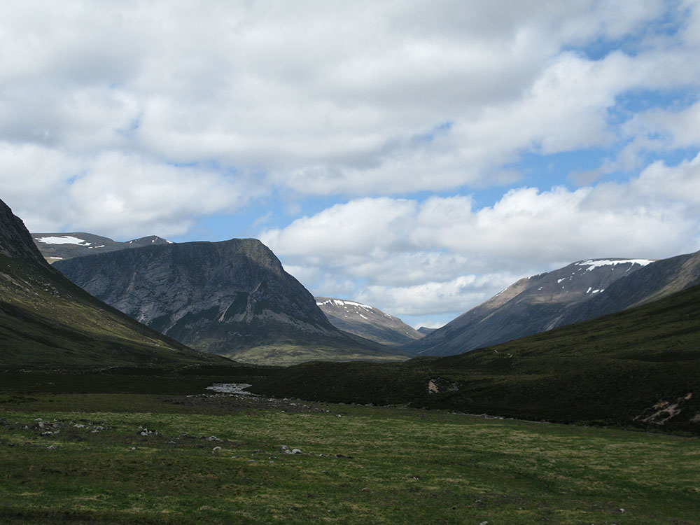
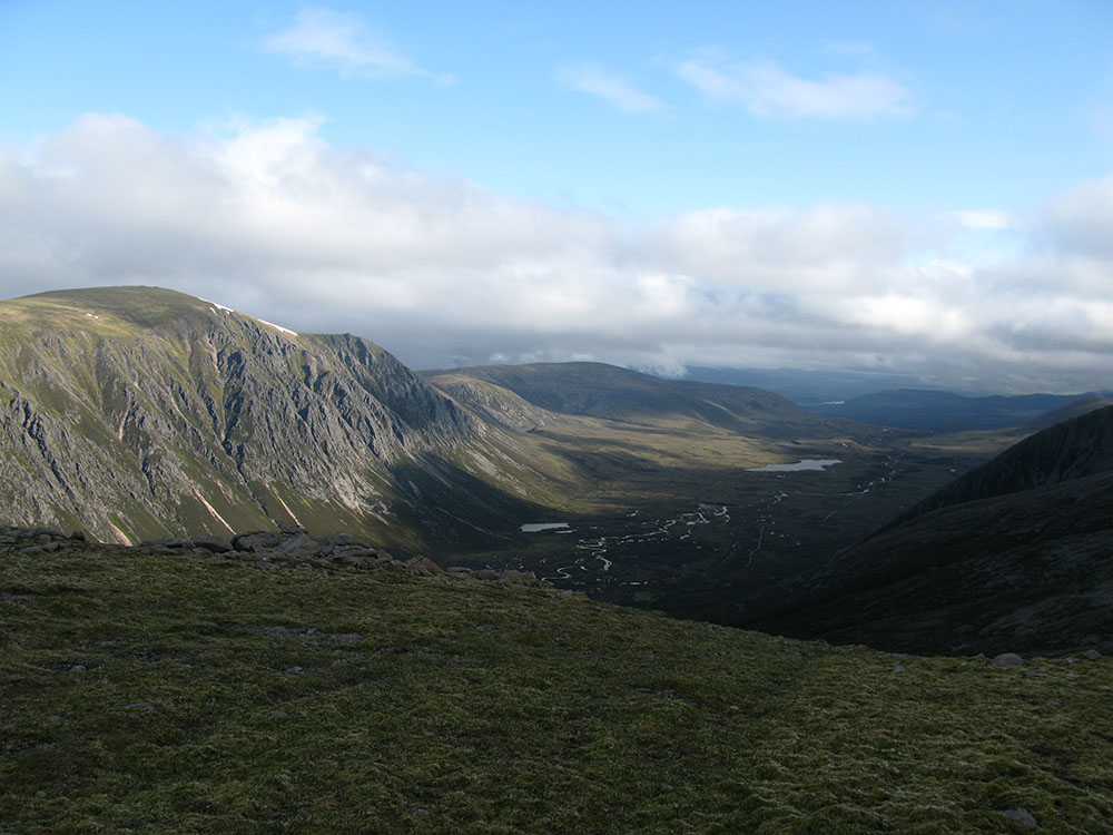
Cairn Toul, The Devil's Point, the Lairig Ghru and Ben Macdui
Date: 02/06/12 GPS: N 56.99877° W 3.66430° Altitude: 479m Google Maps Location |
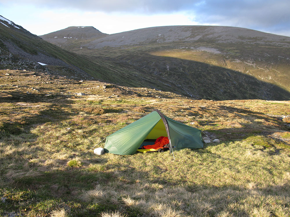
Campsite next to Loch nan Stuirteag on the Mòine Mhòr plateau, Cairn Toul in the background
Date: 02/06/12 GPS: N 57.04073° W 3.74388° Altitude: 872m Google Maps Location |
Ben Nevis
 |
 |
 |
 |
|
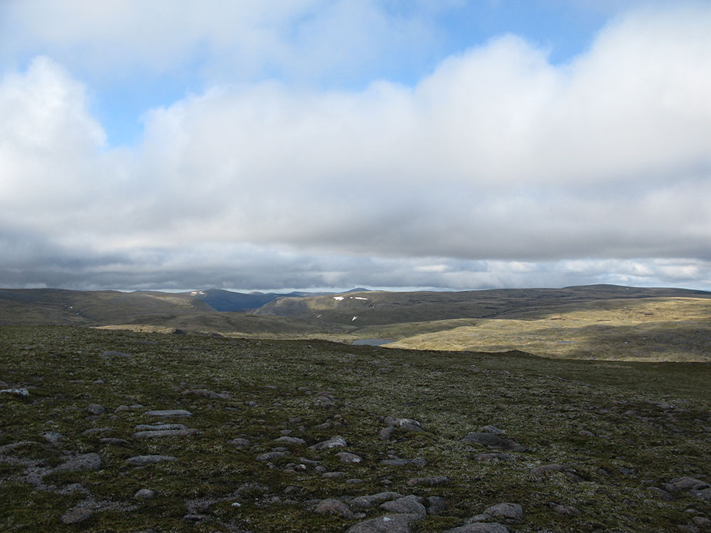
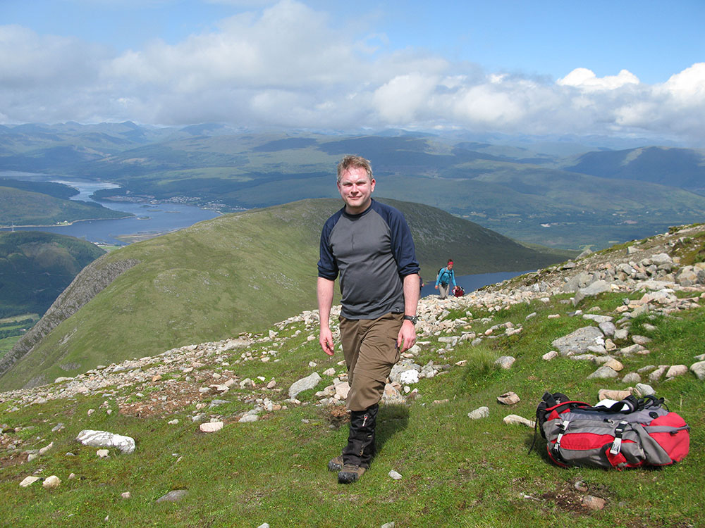
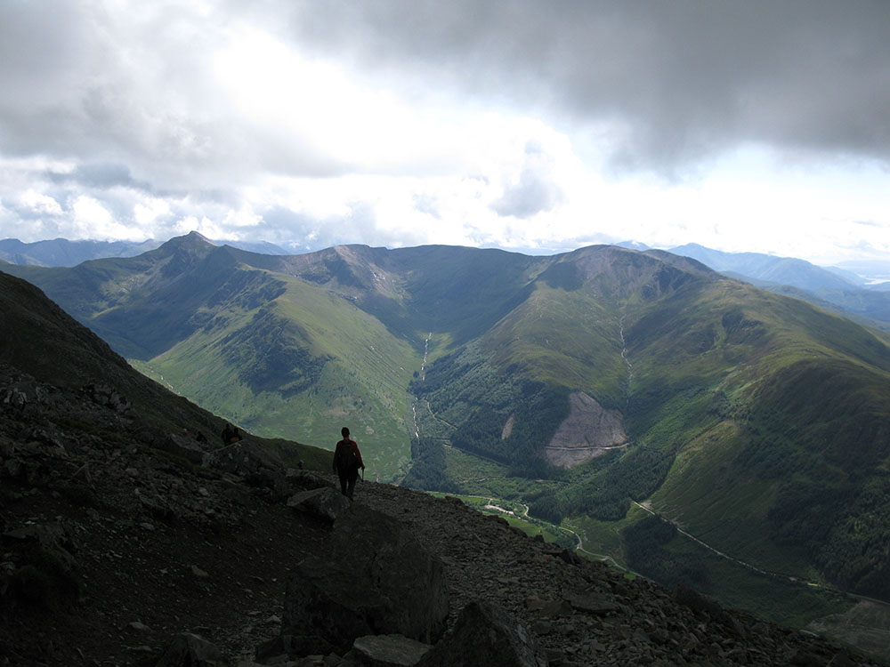
On the tourist track; Meall an t-Suidhe and Loch Eil in the background
Date: 16/07/12 GPS: N 56.79728° W 5.03084° Altitude: 904m Google Maps Location |
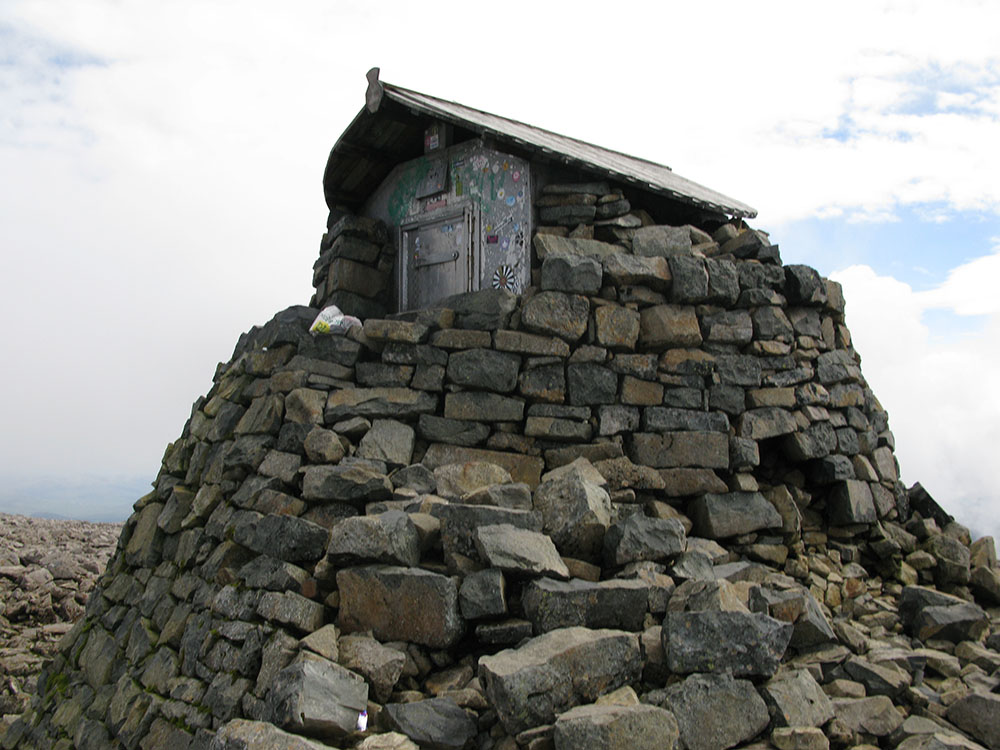
Emergency shelter on the ruined observatory tower on the summit of Ben Nevis
Date: 16/07/12 GPS: N 56.79681° W 5.00366° Altitude: 1344m Google Maps Location |
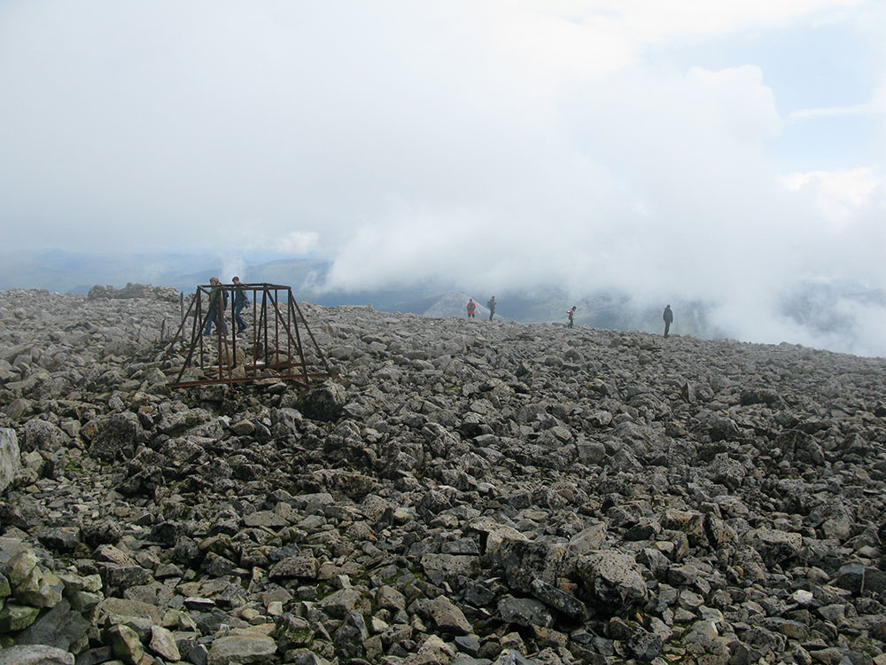
The summit plateau of Ben Nevis
Date: 16/07/12 GPS: N 56.79681° W 5.00366° Altitude: 1344m Google Maps Location |
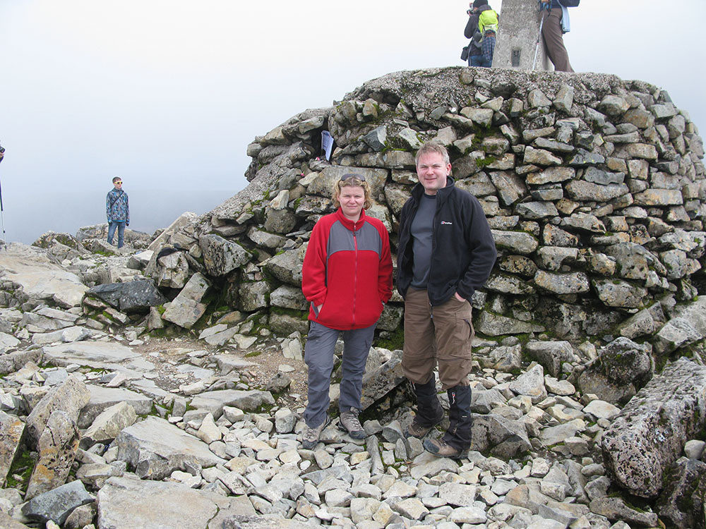
On the summit of Ben Nevis
Date: 16/07/12 GPS: N 56.79681° W 5.00366° Altitude: 1344m Google Maps Location |
 |
|||