March - April 2011 photos
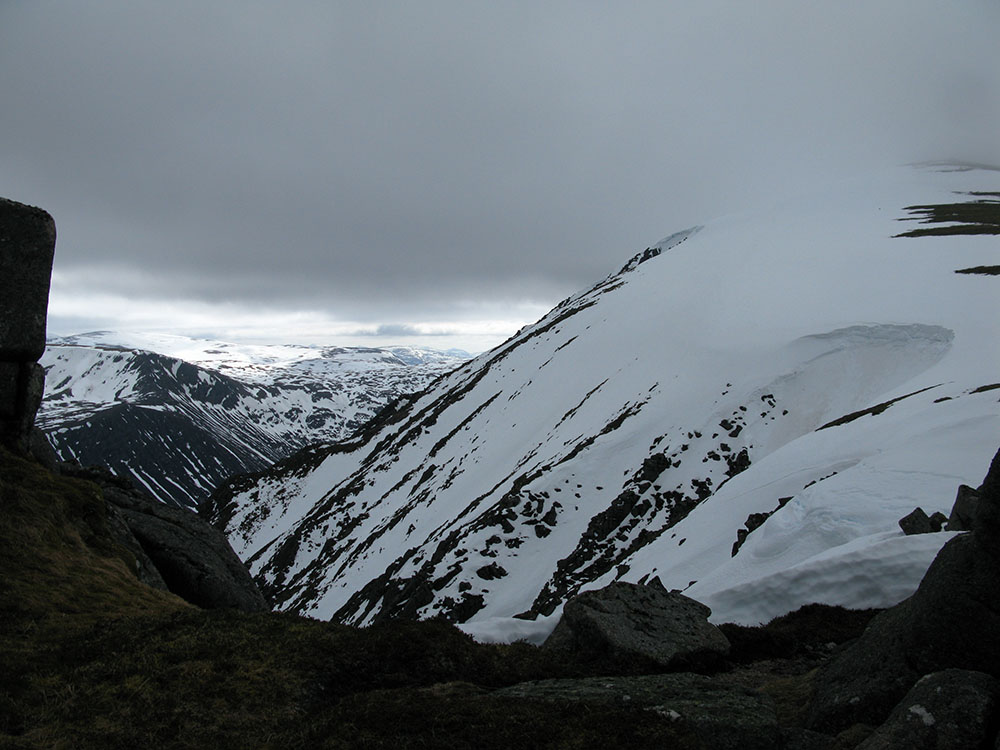
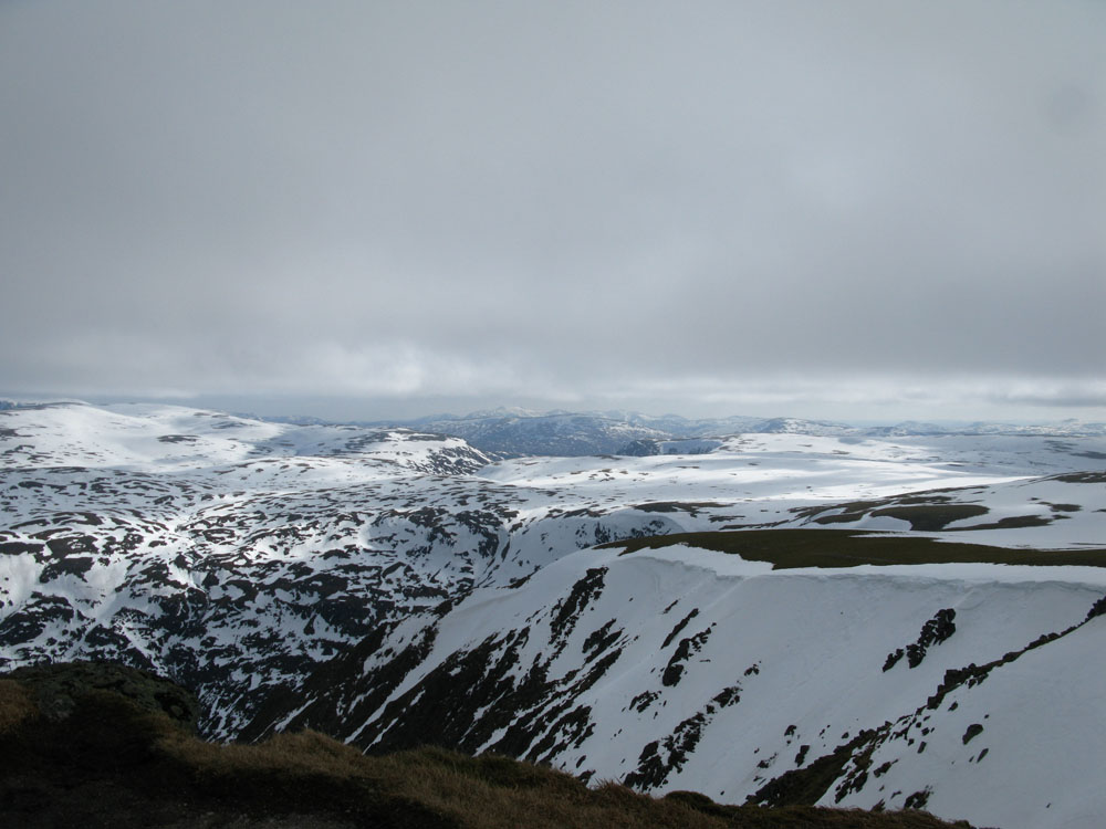
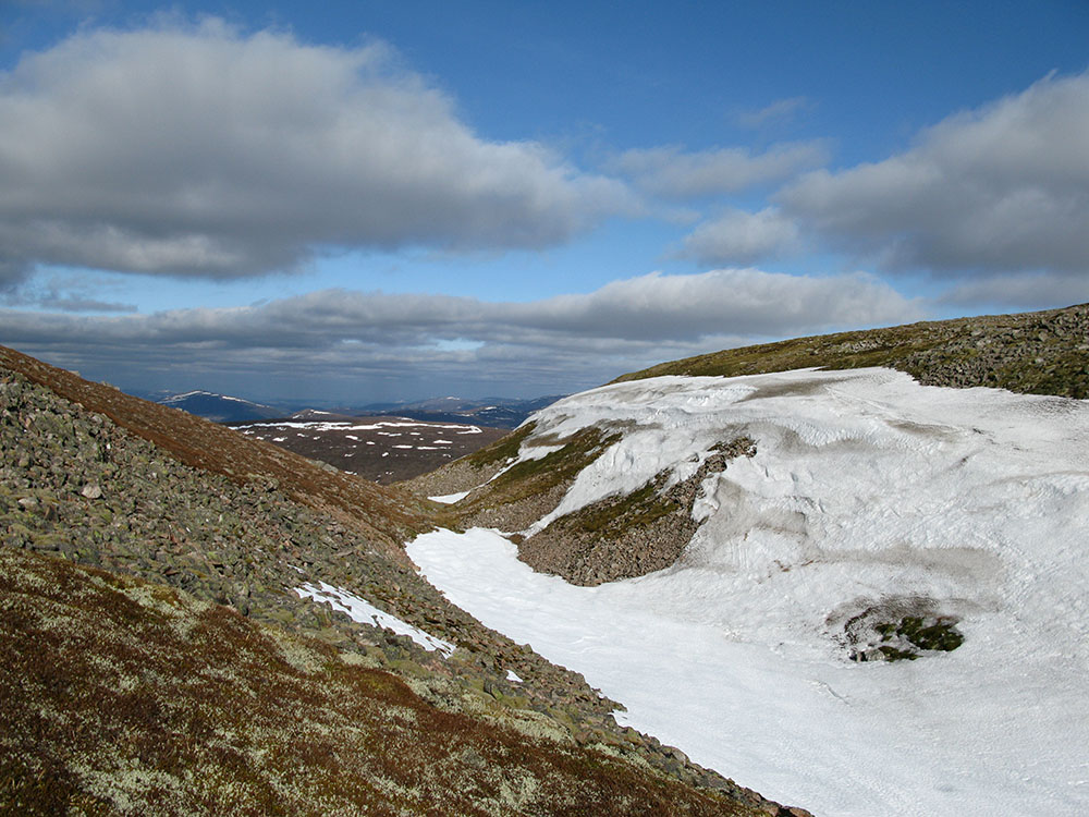
Sgòr Gaoith and the Allt a' Mharcaidh catchment
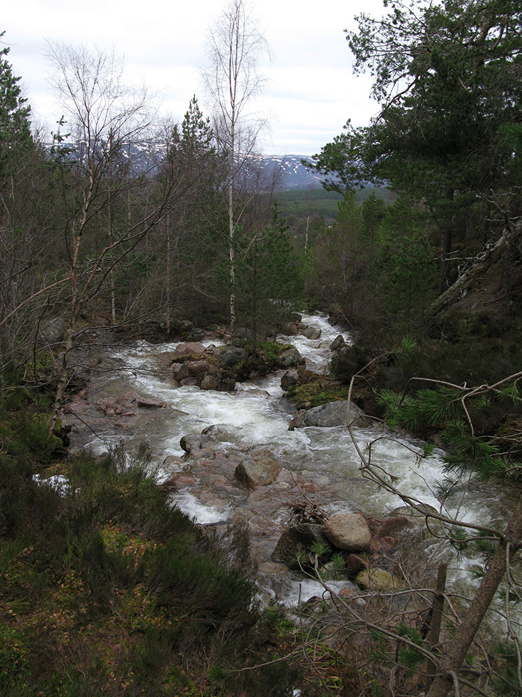
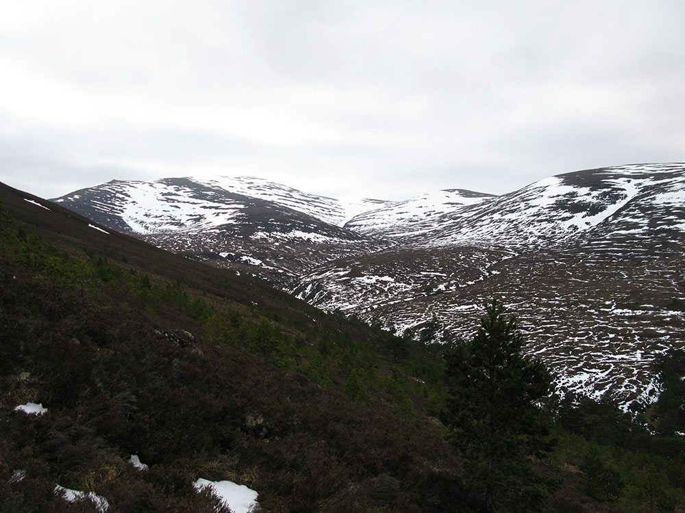
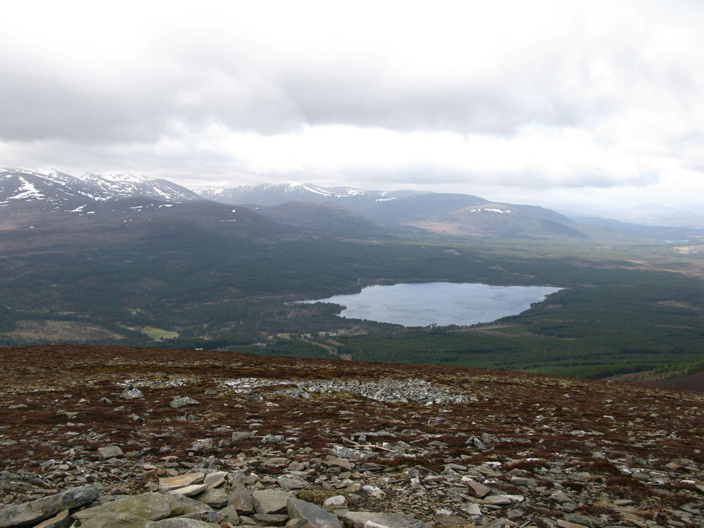
Abernethy Forest and Meall a'Bhuachaille
 |
 |
 |
 |
|
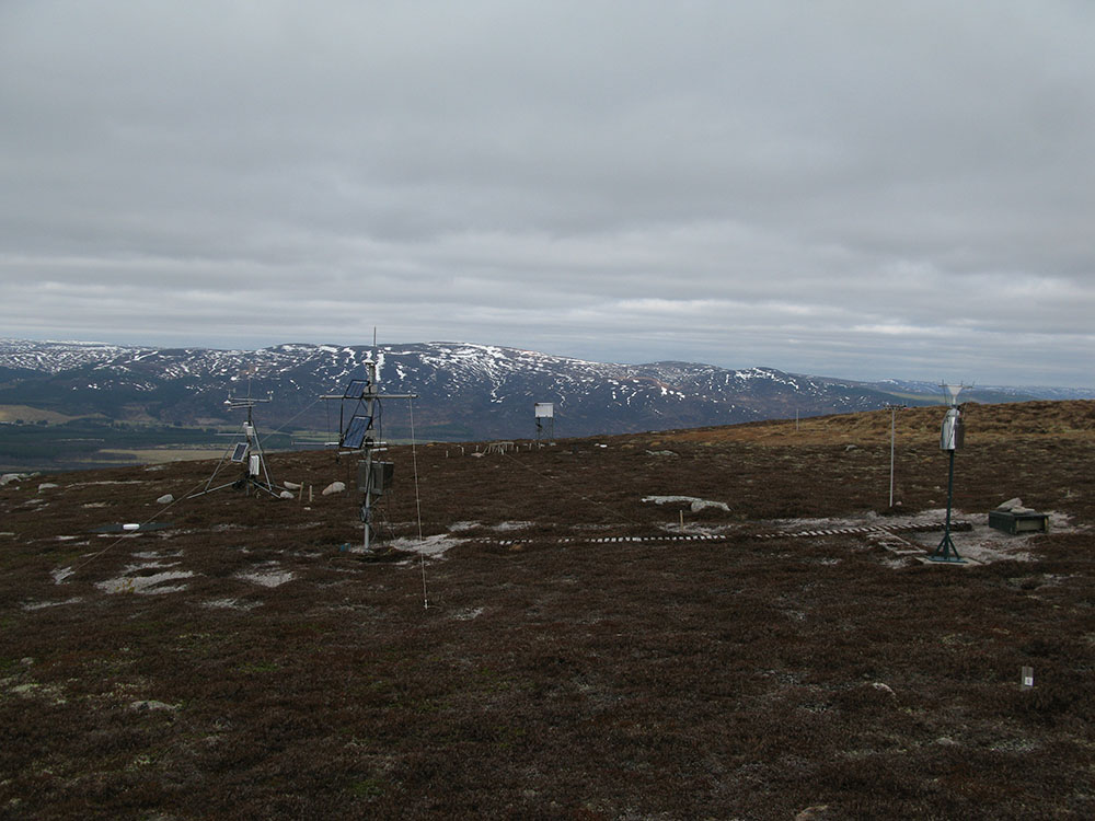
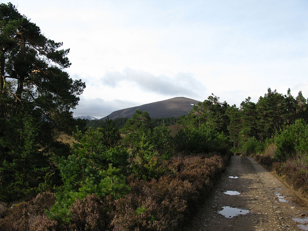
Meall a'Bhuachaille from Abernethy Forest
Date: 07/04/11 GPS: N 57.20961° W 3.63067° Altitude: 364m Google Maps Location |
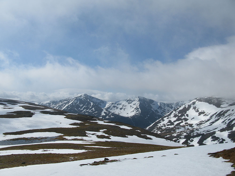
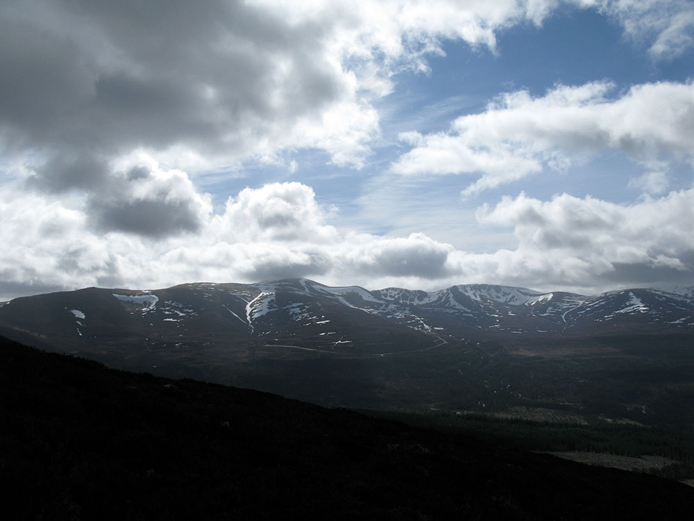
Ryvoan Pass and the Northern Corries from Meall a'Bhuachaille
Date: 07/04/11 GPS: N 57.18247° W 3.65468° Altitude: 520m Google Maps Location |
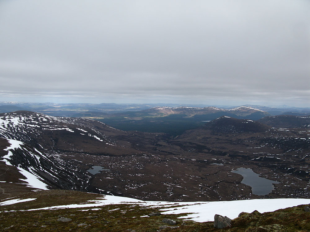
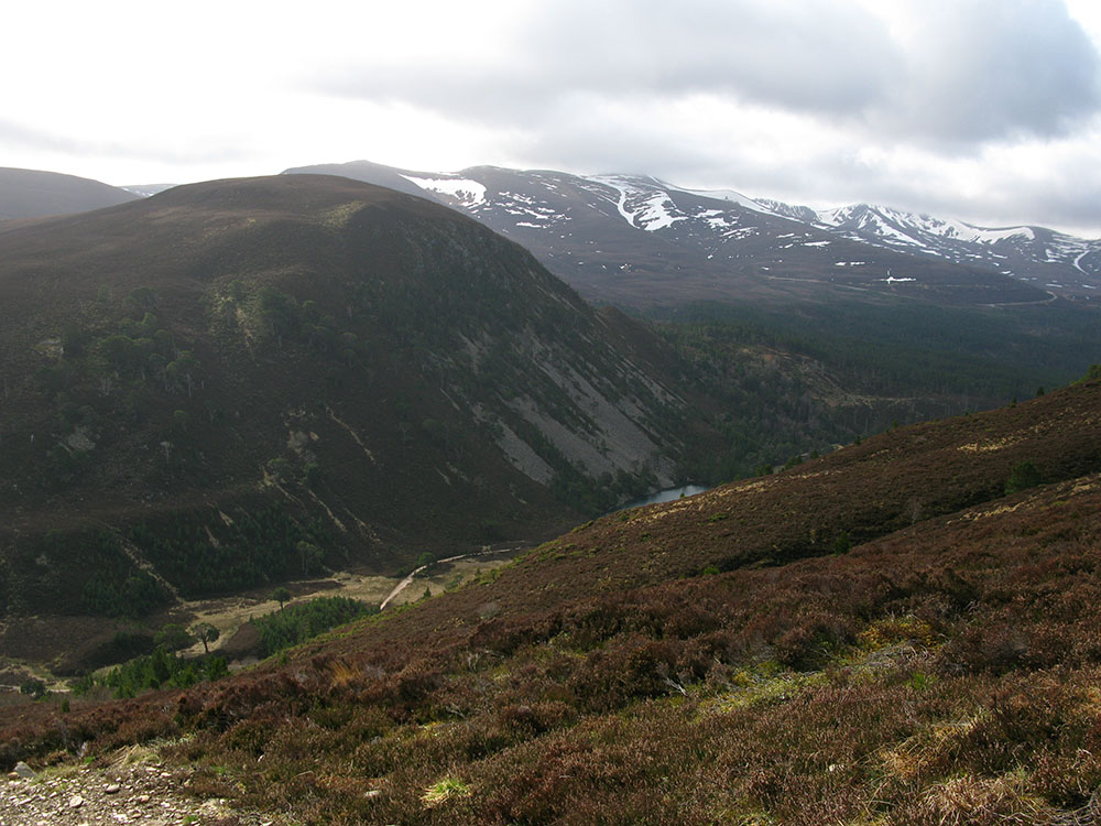
Loch Morlich and Glenmore Forest Park from the summit of Meall a'Bhuachaille
Date: 07/04/11 GPS: N 57.18346° W 3.67123° Altitude: 810m Google Maps Location |
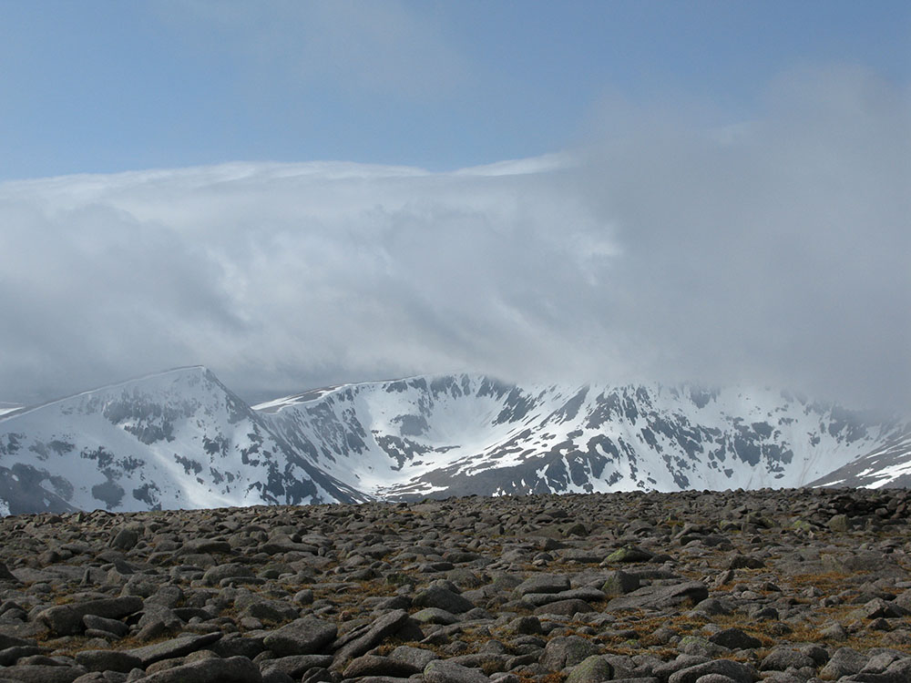
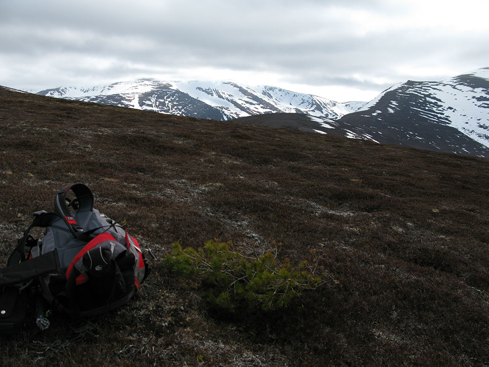
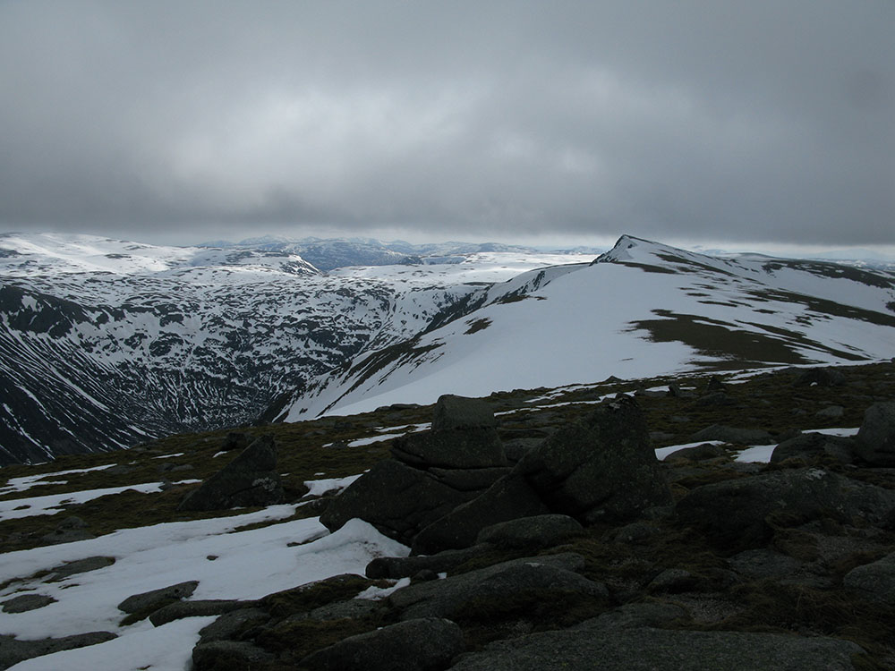
The Northern Corries from the col between Meall a'Bhuachaille and Creagan Gorm
Date: 07/04/11 GPS: N 57.18379° W 3.68228° Altitude: 634m Google Maps Location |
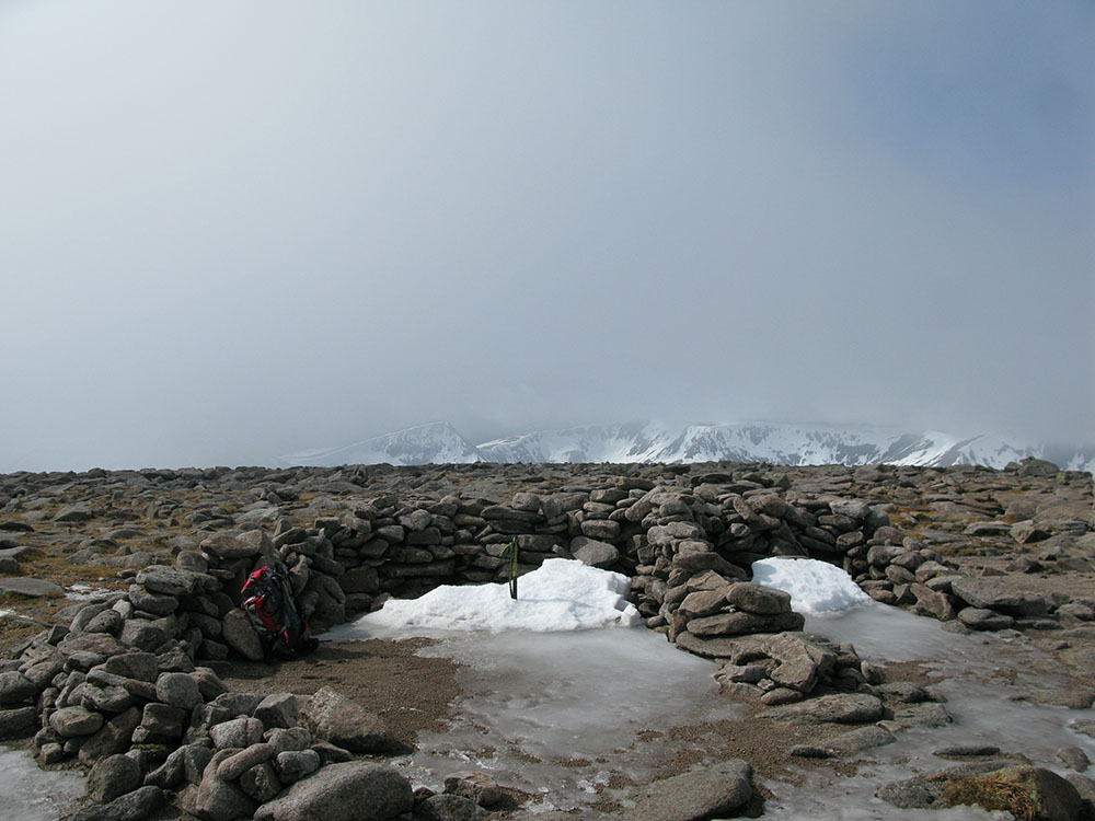
Ben Macdui