June - July 2010 photos
Grey Corries
 |
 |
 |
 |
|
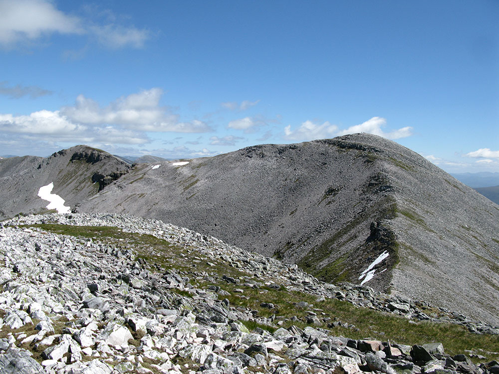
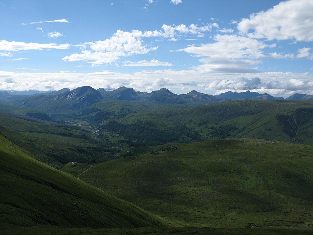
The Grey Corries ridge from Sgùrr Chòinnich Mór
Date: 19/06/10 GPS: N 56.80040° W 4.90398° Altitude: 1094m Google Maps Location |
Cairn Gorm
 |
 |
 |
|
|
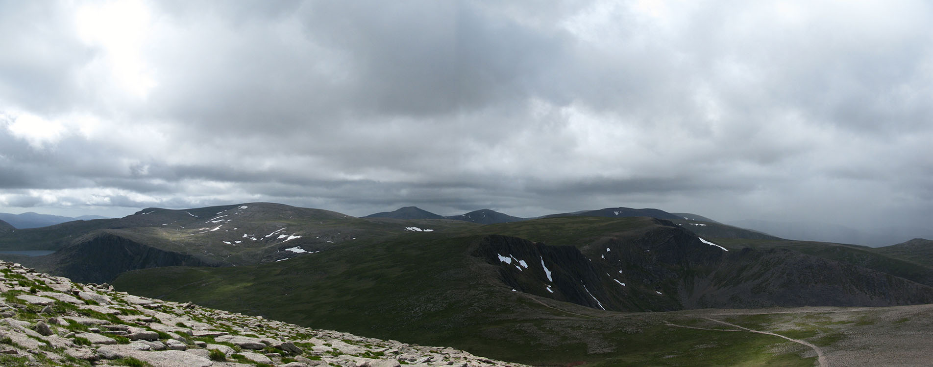
Ben Macdui, Cairn Toul and Coire an t-Sneachda from the summit of Cairn Gorm
Date: 03/07/10 GPS: N 57.11598° W 3.64565° Altitude: 1233m Google Maps Location |
|||
 |
 |
 |
|
|
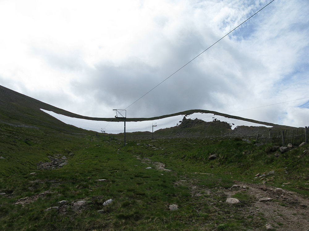
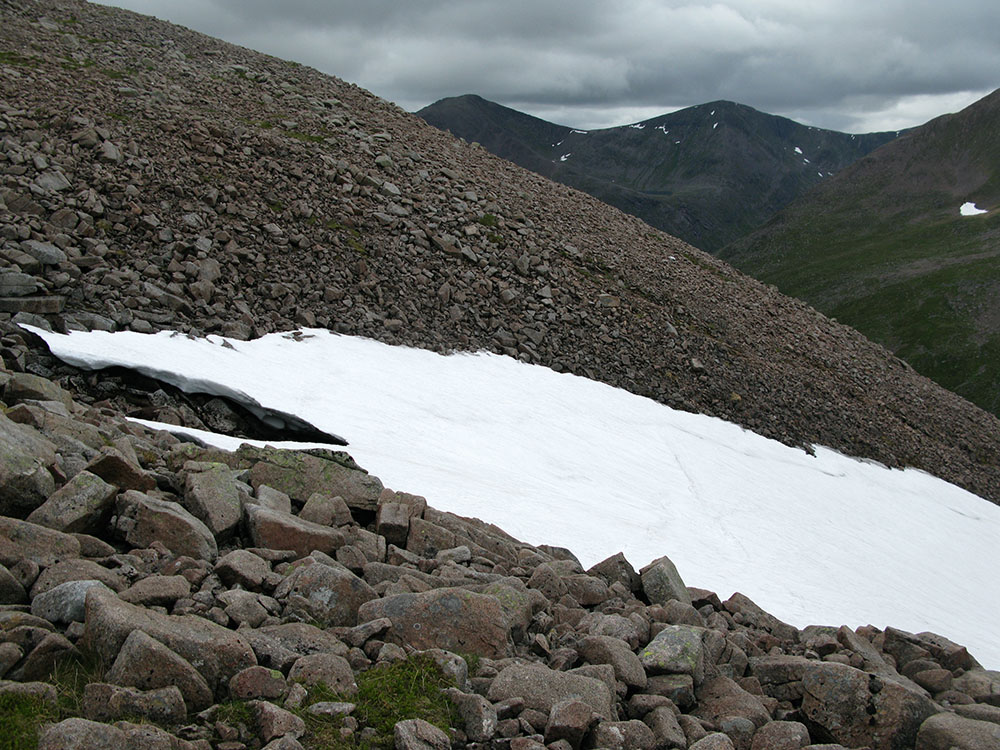
The March Burn snowpatch
Date: 03/07/10 GPS: N 57.08912° W 3.68722° Altitude: 1091m Google Maps Location |
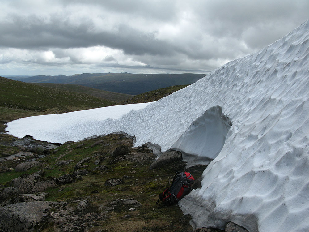
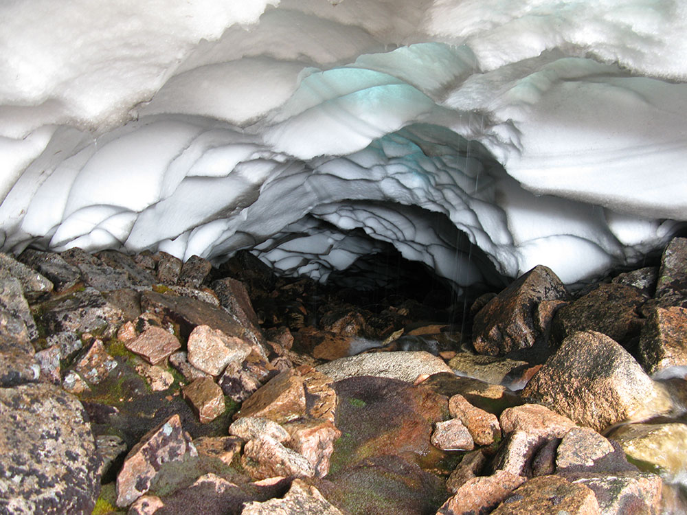
Underneath the March Burn snowpatch
Date: 03/07/10 GPS: N 57.08912° W 3.68722° Altitude: 1091m Google Maps Location |
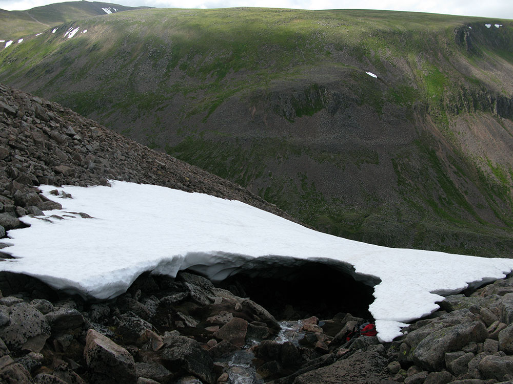
The March Burn snowpatch; Cairn Toul in the background
Date: 03/07/10 GPS: N 57.08912° W 3.68722° Altitude: 1091m Google Maps Location |
|
Helvellyn
 |
 |
 |
 |
|
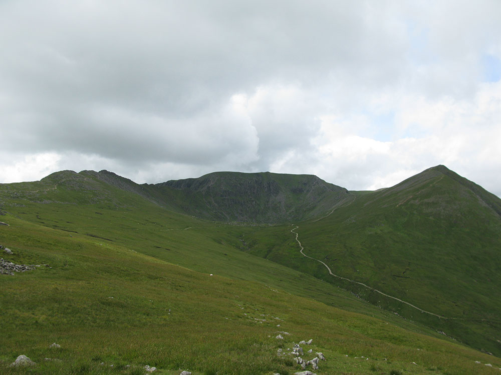
Striding Edge, Helvellyn and Catstye Cam from Birkhouse Moor
Date: 08/07/10 GPS: N 54.53400° W 2.98741° Altitude: 704m Google Maps Location |
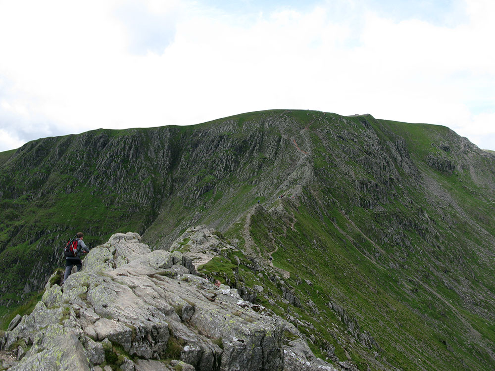
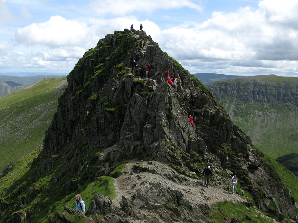
Striding Edge and Helvellyn
Date: 08/07/10 GPS: N 54.52541° W 3.00529° Altitude: 860m Google Maps Location |
||
 |
 |
||
|
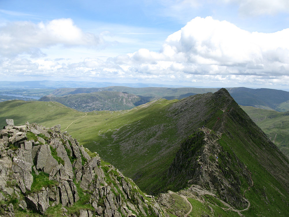
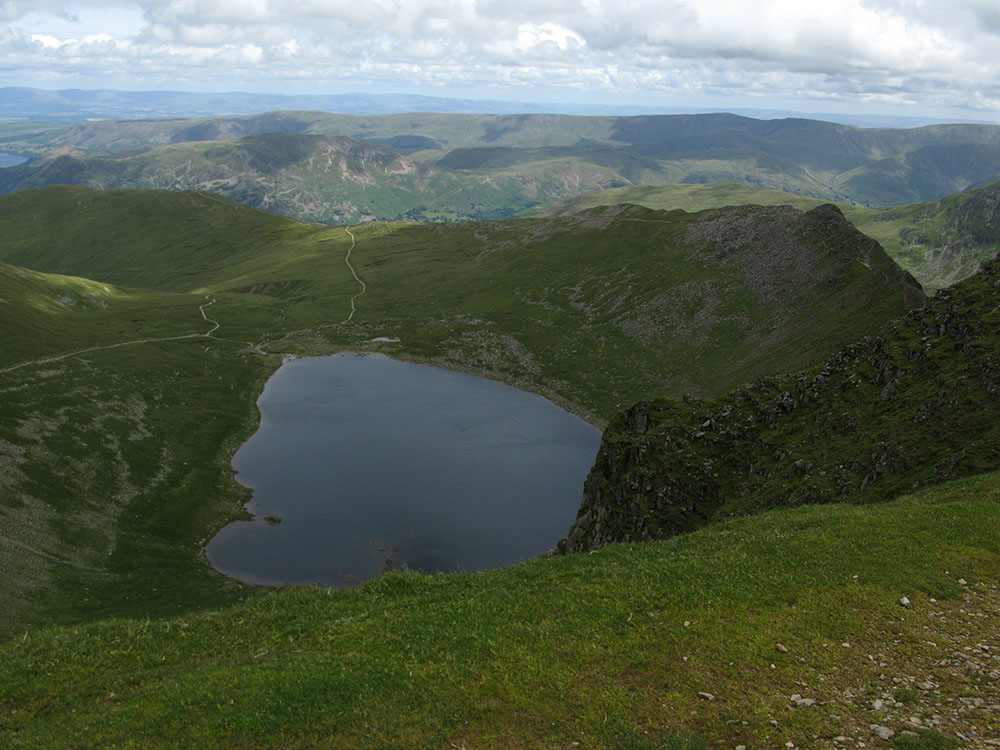
Red Tarn and Striding Edge from the summit of Helvellyn
Date: 08/07/10 GPS: N 54.52737° W 3.01873° Altitude: 950m Google Maps Location |
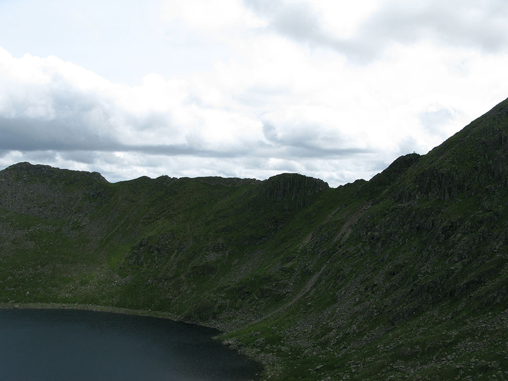
Striding Edge from Swirral Edge
Date: 08/07/10 GPS: N 54.53058° W 3.01357° Altitude: 834m Google Maps Location |
Sgurr nan Ceannaichean
 |
 |
 |
|
|
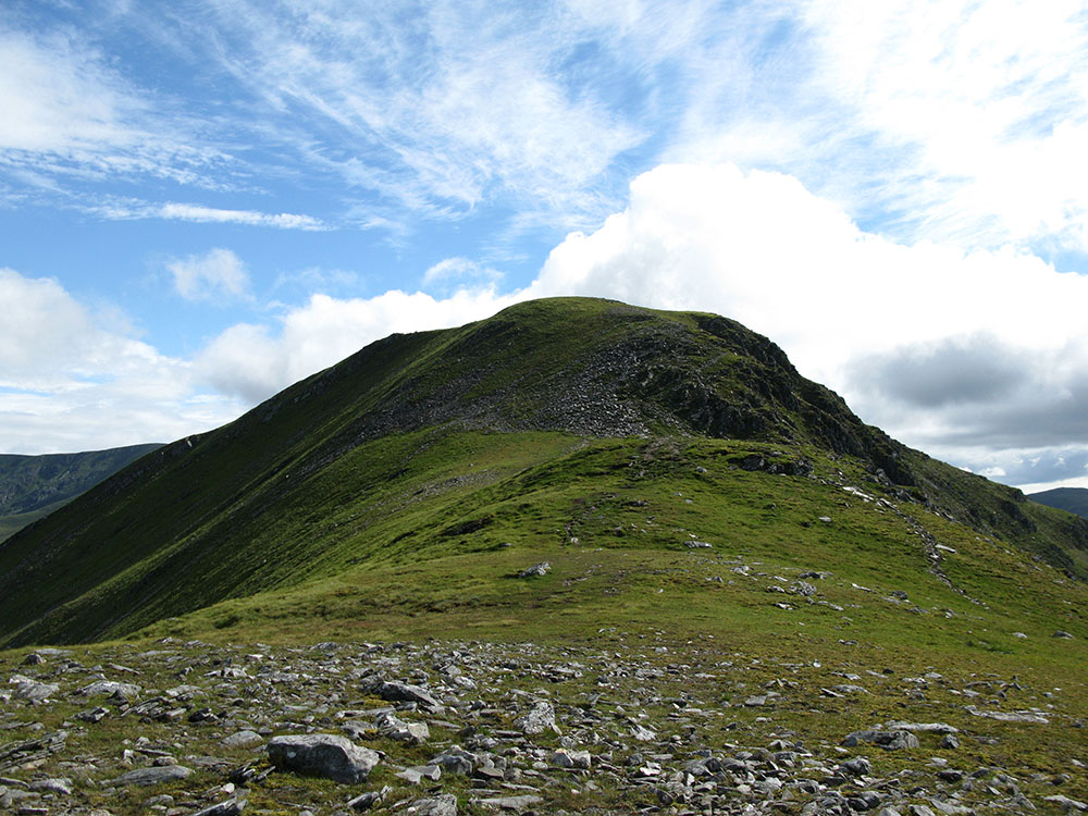
Maoile Lunndaidh from Sgurr nan Ceannaichean
Date: 19/07/10 GPS: N 57.48592° W 5.19111° Altitude: 843m Google Maps Location |
The summit of Sgurr nan Ceannaichean
Date: 19/07/10 GPS: N 57.48592° W 5.19111° Altitude: 843m Google Maps Location |
Beinn Eighe
 |
 |
 |
|
|
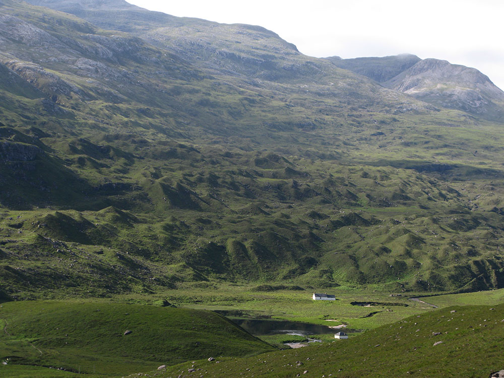
Drumlins in Glen Torridon: 'The Corrie of a Hundred Hills'
Date: 20/07/10 GPS: N 57.56139° W 5.41414° Altitude: 187m Google Maps Location |
Coire Mhic Fhearchair and the Triple Buttress
Date: 20/07/10 GPS: N 57.59293° W 5.44756° Altitude: 590m Google Maps Location |
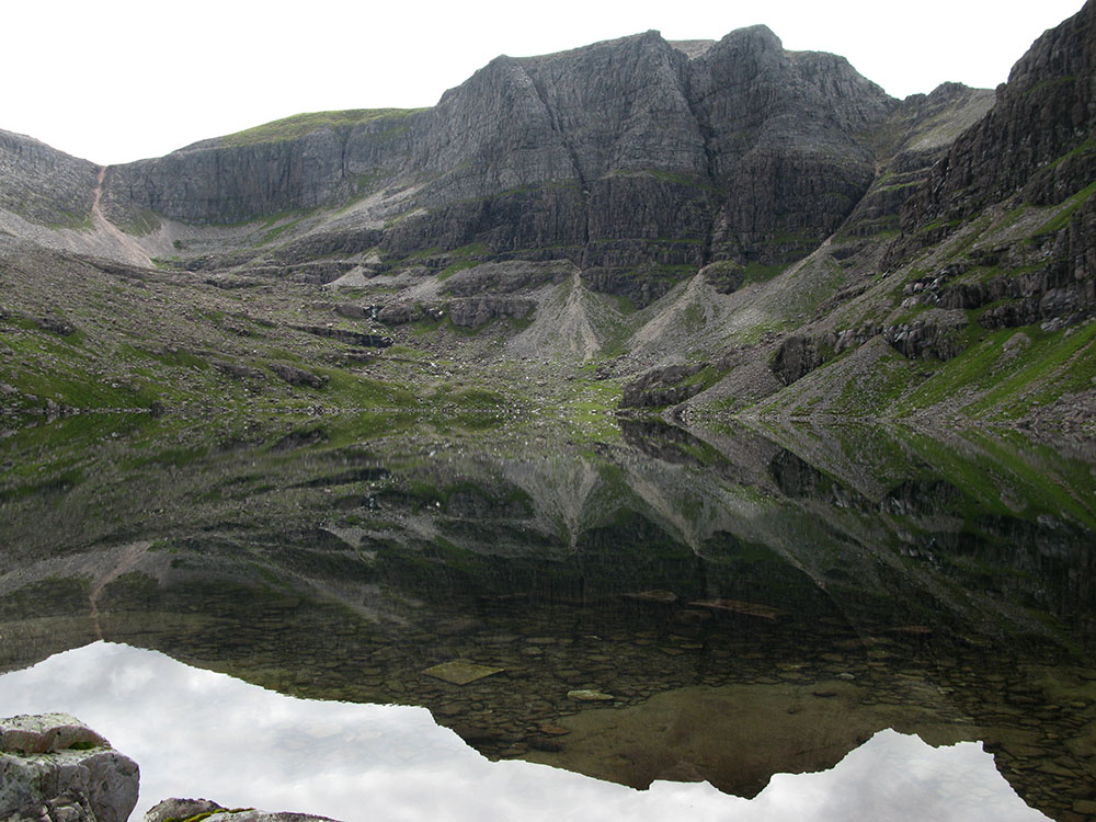
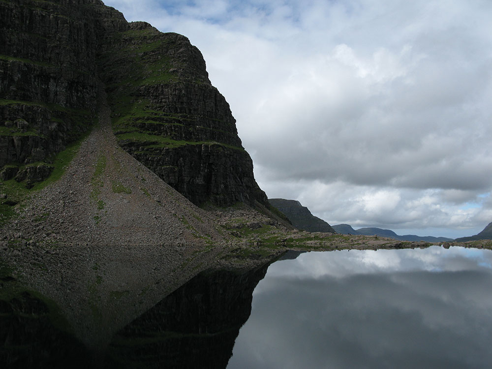
Loch Coire Mhic Fhearchair and the cliffs of Sail Mhòr
Date: 20/07/10 GPS: N 57.59162° W 5.44332° Altitude: 602m Google Maps Location |