April - May 2010 photos
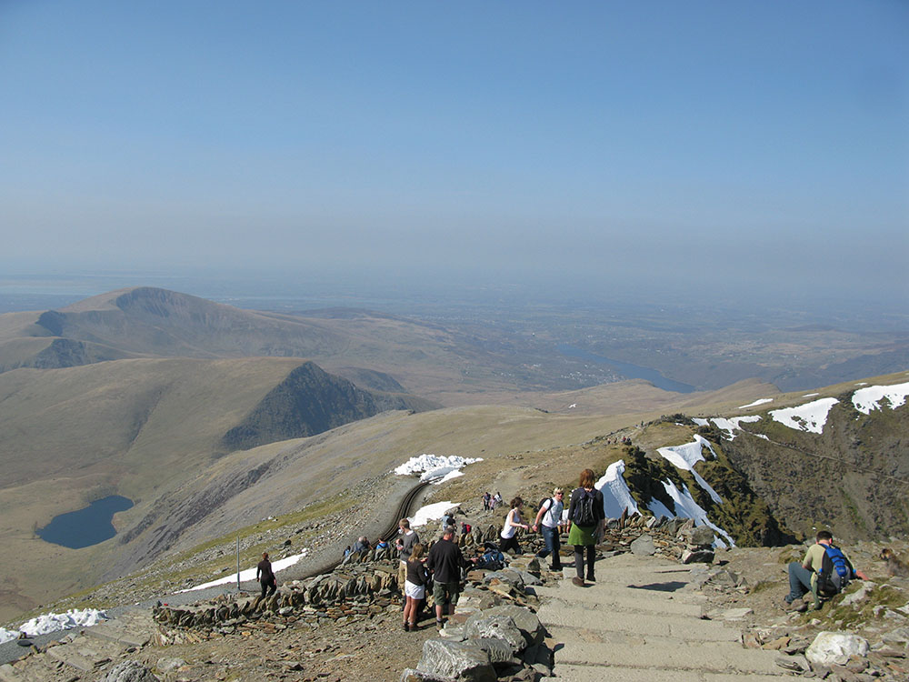
Snowdon
Cadair Idris
 |
 |
 |
 |
|
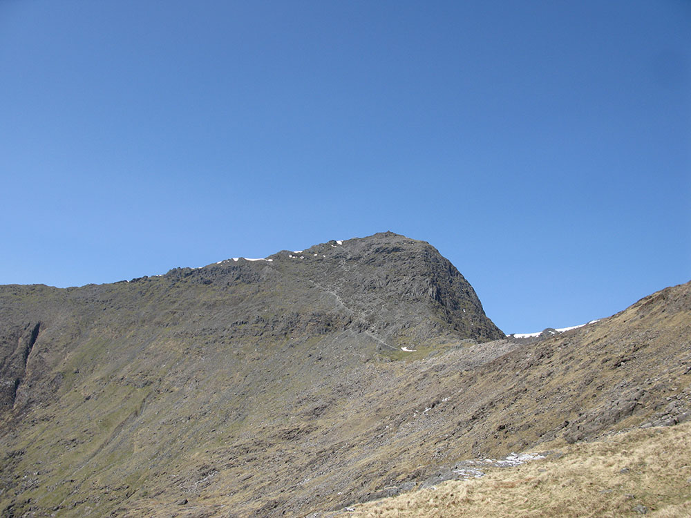
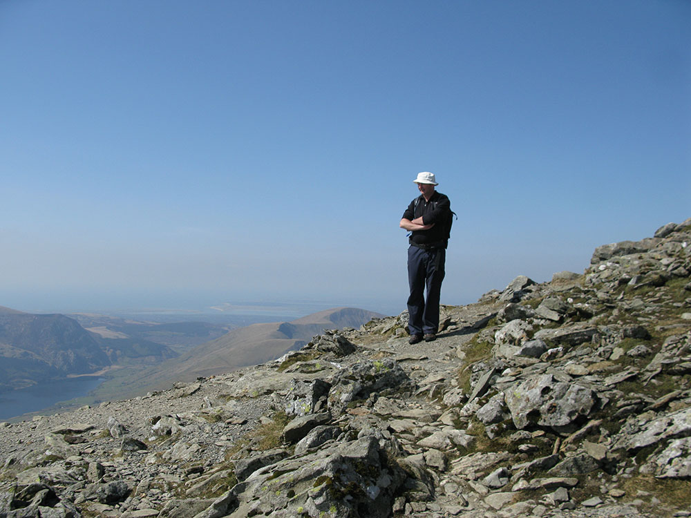
Cadair Idris (Cfyrwy) from the west
Date: 17/04/10 GPS: N 52.70414° W 3.93823° Altitude: 562m Google Maps Location |
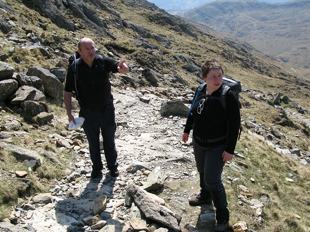
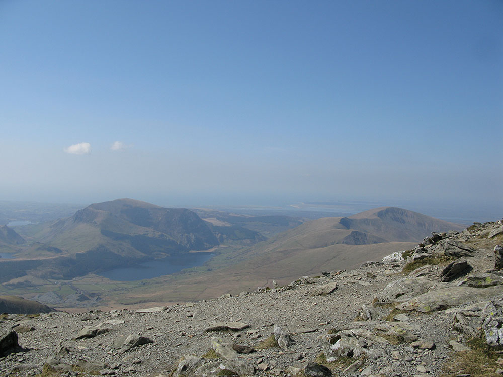
The summit of Cadair Idris (Penygadair) from the west
Date: 17/04/10 GPS: N 52.69984° W 3.91767° Altitude: 787m Google Maps Location |
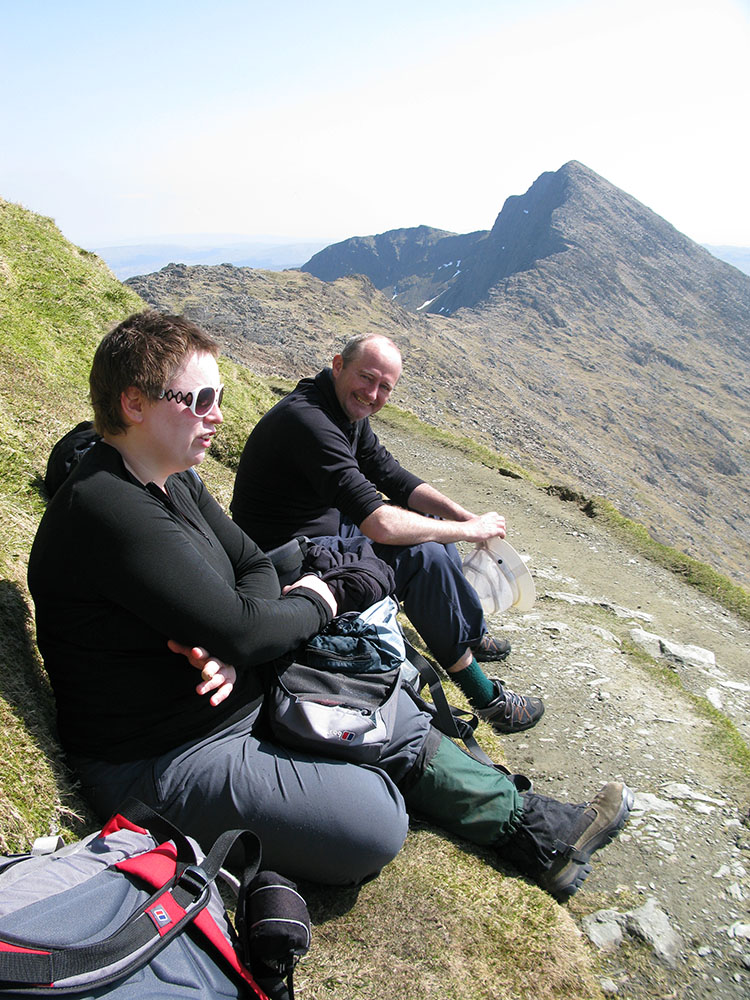
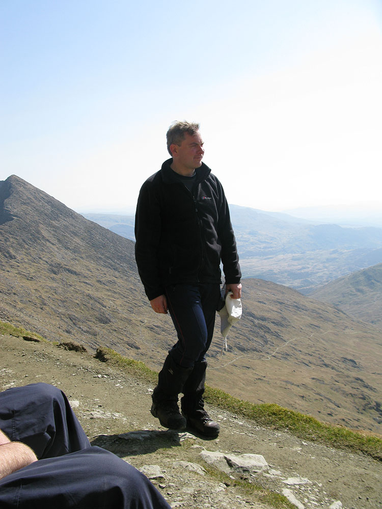
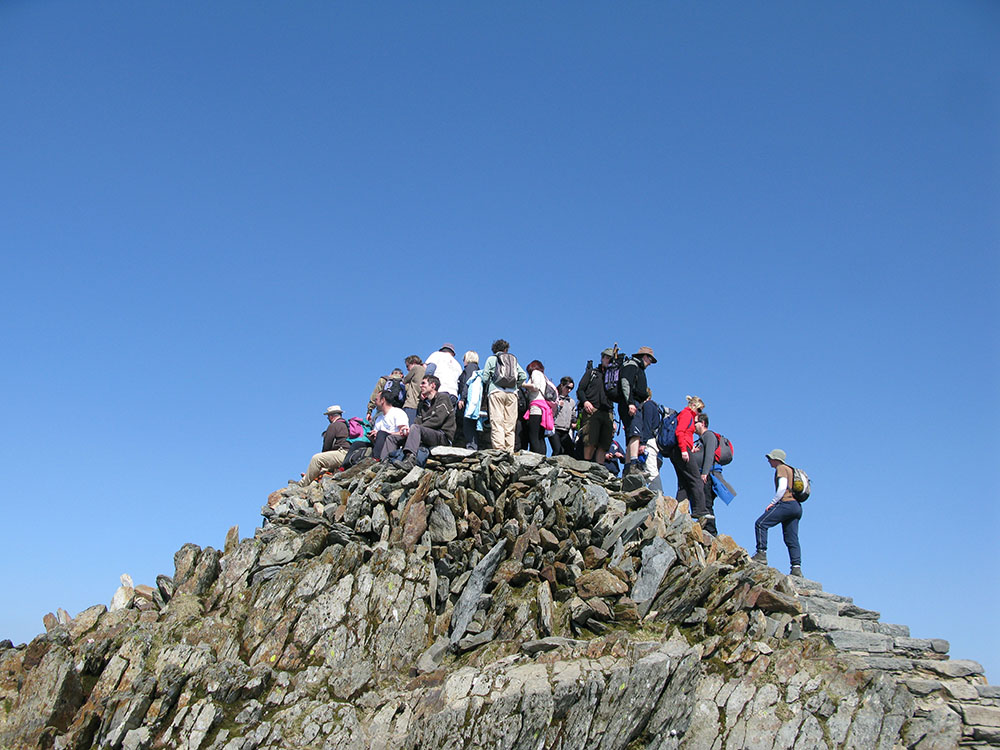
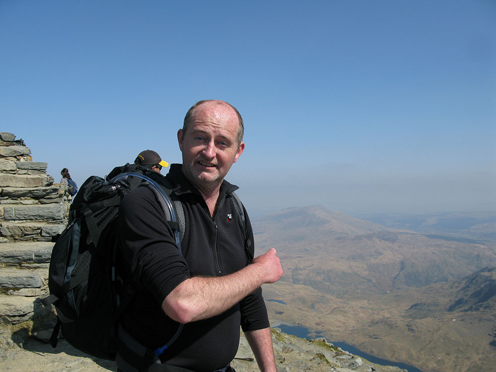
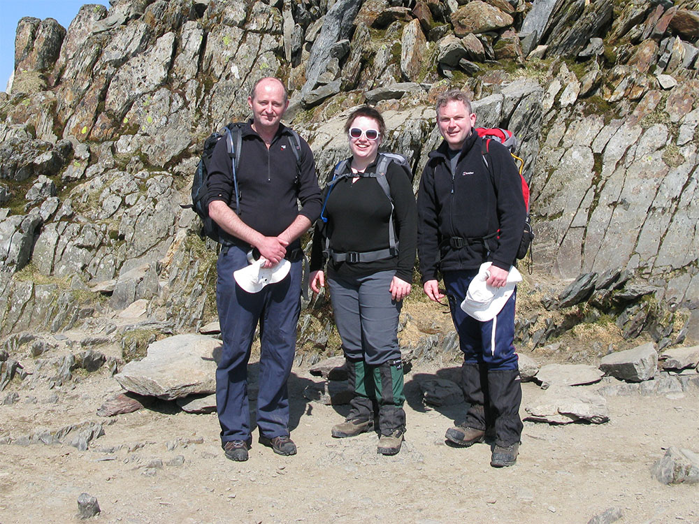
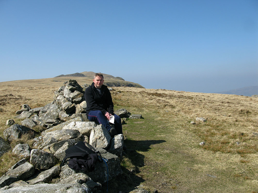
In front of the summit of Cadair Idris
Date: 17/04/10 GPS: N 52.69984° W 3.91767° Altitude: 787m Google Maps Location |
Aonach Meadhoin
 |
 |
 |
 |
|
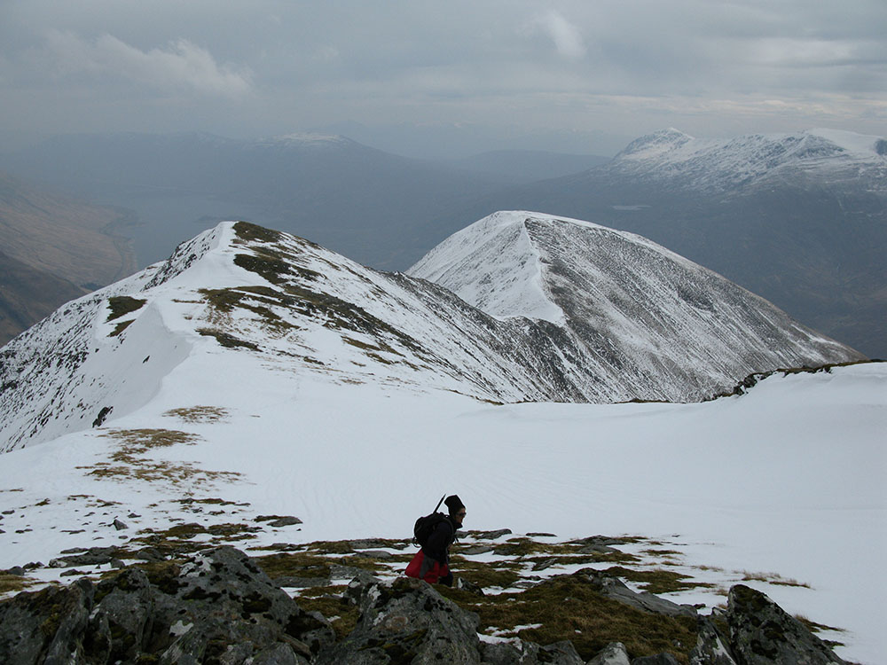
On the southern slopes of Sgurr an Fhuarail
Date: 24/04/10 GPS: N 57.16490° W 5.20677° Altitude: 774m Google Maps Location |
The South Glen Shiel Ridge from Sgurr an Fhuarail
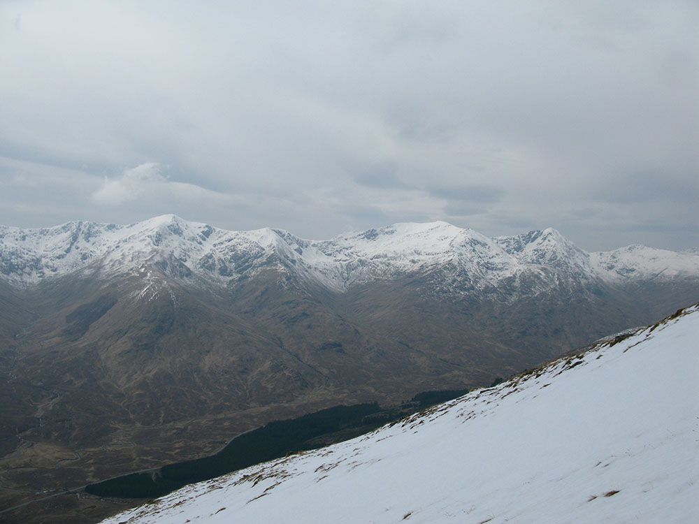
Date: 24/04/10 GPS: N 57.16490° W 5.20677° Altitude: 774m Google Maps Location |
Looking eastwards from the summit of Sgurr an Fhuarail towards Loch Cluanie
Date: 24/04/10 GPS: N 57.17486° W 5.21811° Altitude: 963m Google Maps Location |
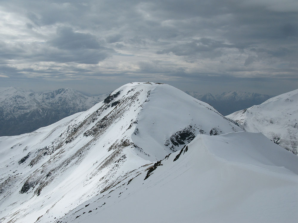
Sgurr nan Ceathreamhnan and Ciste Dhubh from Sgurr an Fhuarail
Date: 24/04/10 GPS: N 57.17528° W 5.21997° Altitude: 990m Google Maps Location |
 |
 |
||
|
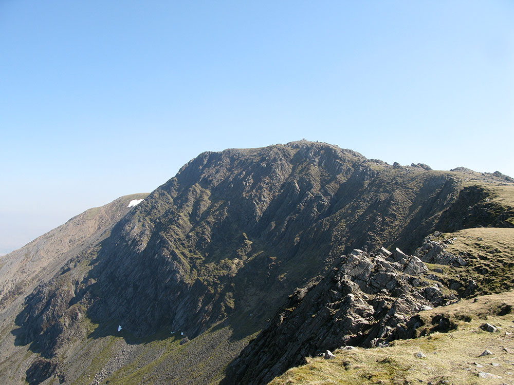
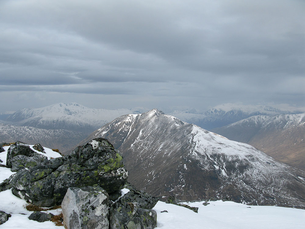
The summit of Aonach Meadhoin from Sgurr an Fhuarail
Date: 24/04/10 GPS: N 57.17528° W 5.21997° Altitude: 990m Google Maps Location |
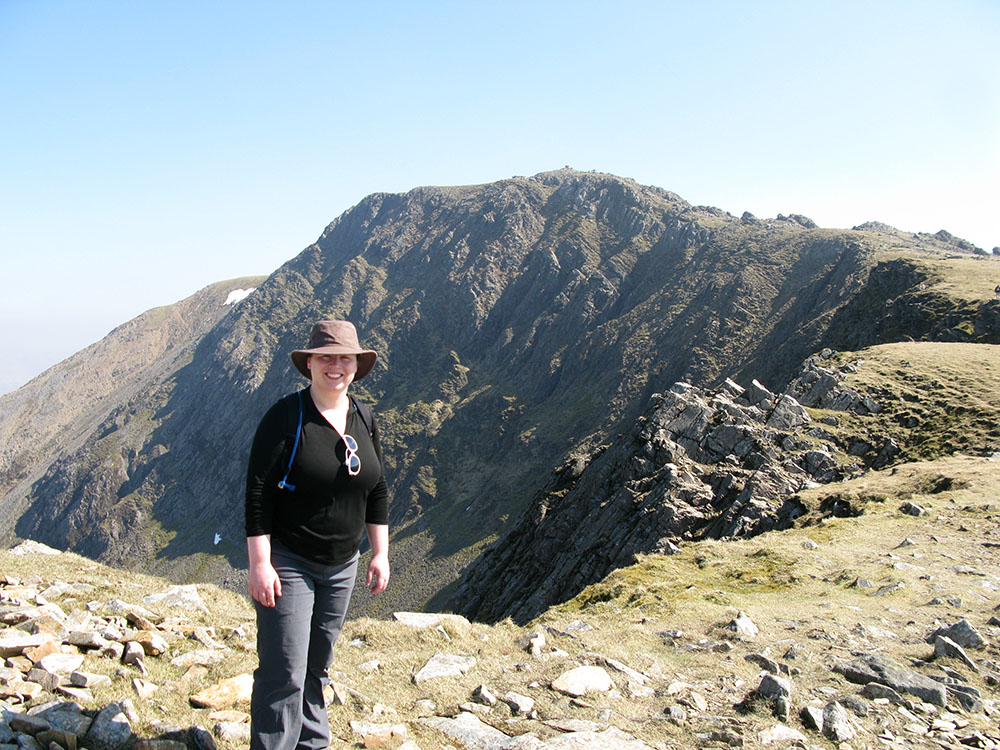
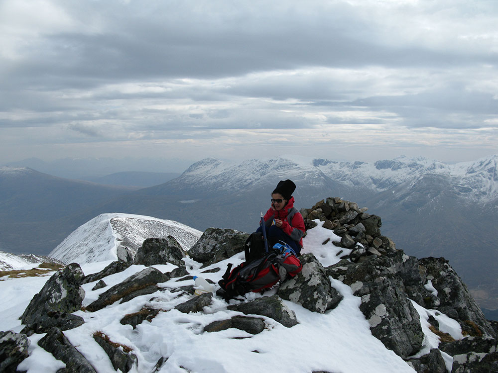
On the summit of Sgurr an Fhuarail
Date: 24/04/10 GPS: N 57.17528° W 5.21997° Altitude: 990m Google Maps Location |
Creach Bheinn
 |
|||
|
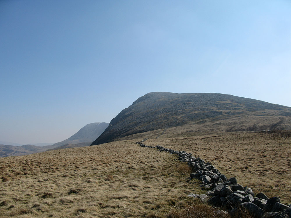
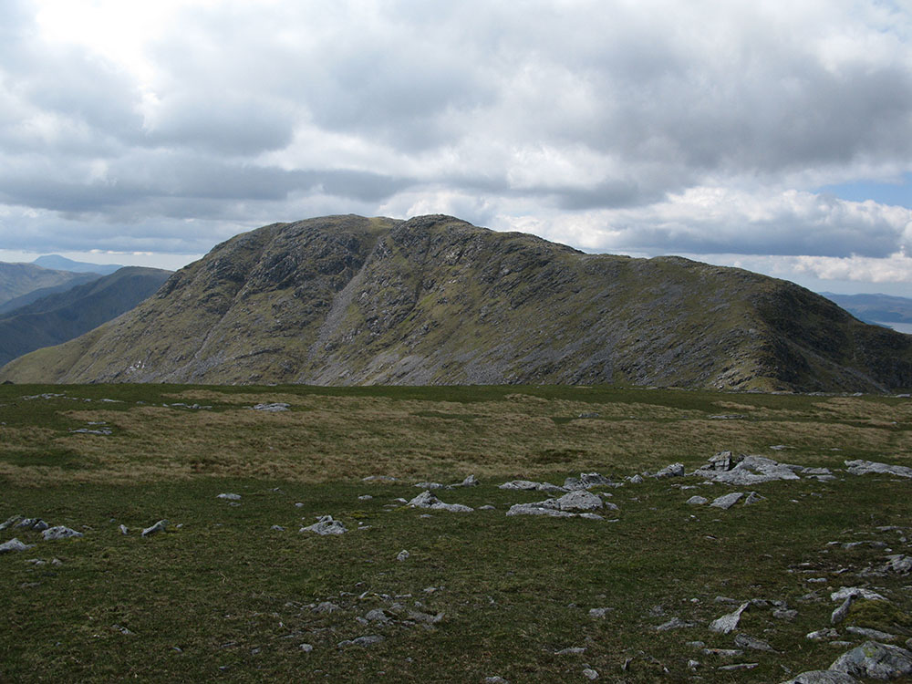
The summit of Creach Bheinn from Maol Odhar
Date: 30/05/10 GPS: N 56.66543° W 5.45907° Altitude: 793m Google Maps Location |