February - March 2010 photos
Meall an t-Seallaidh
 |
 |
 |
|
|
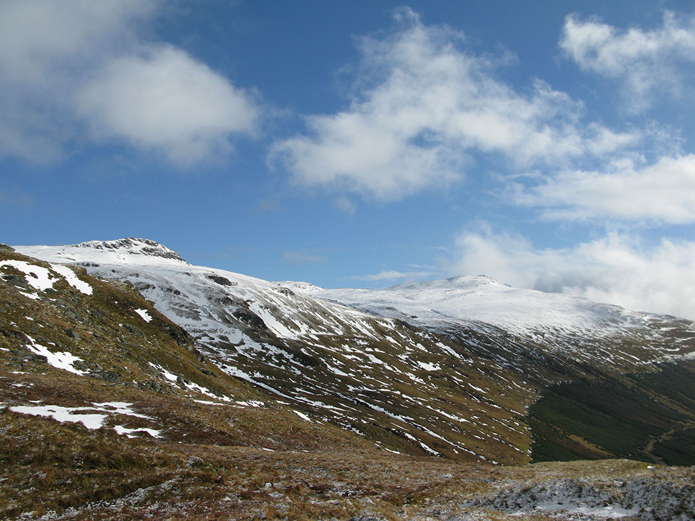
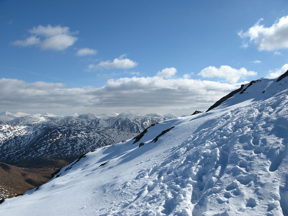
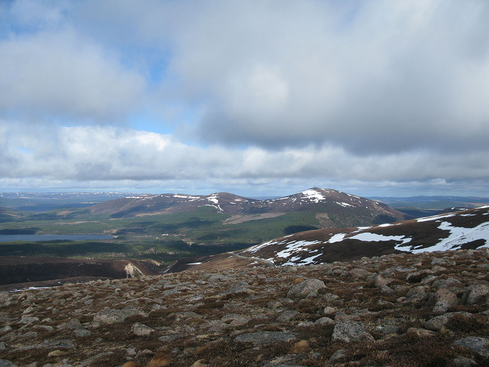
Meall an Fhiodhain and Meall an t-Seallaidh from the head of Kirkton Glen
Date: 15/02/10 GPS: N 56.38750° W 4.40407° Altitude: 576m Google Maps Location |
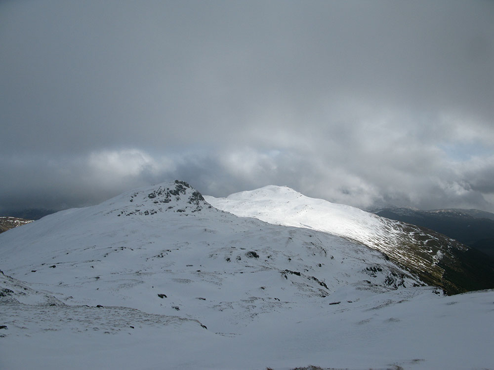
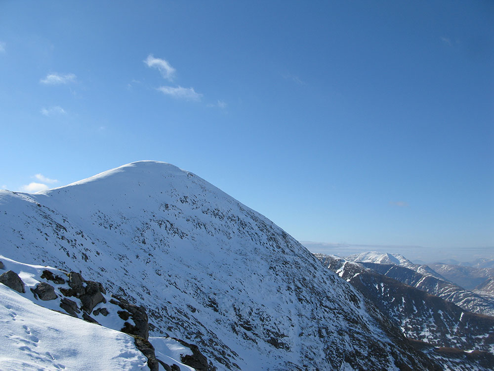
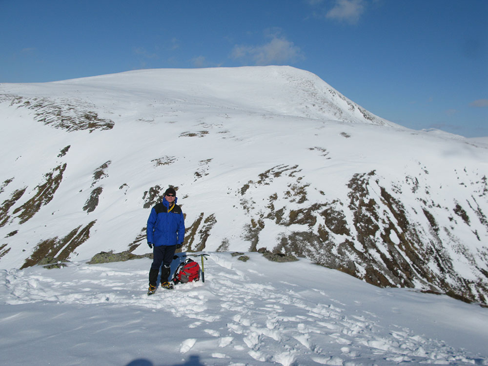
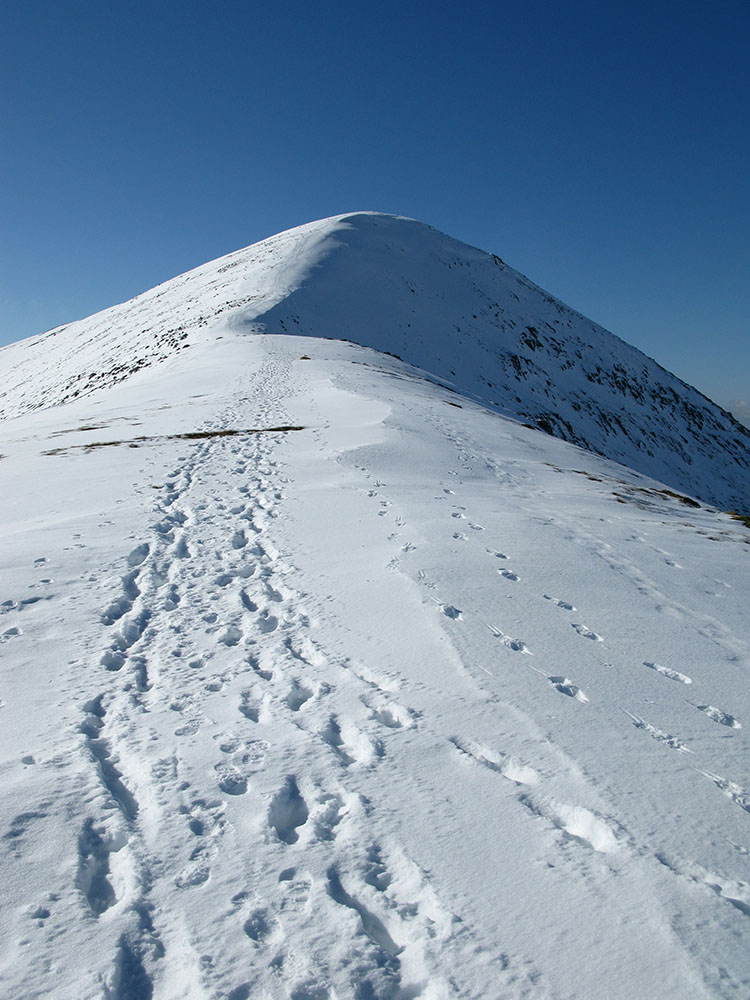
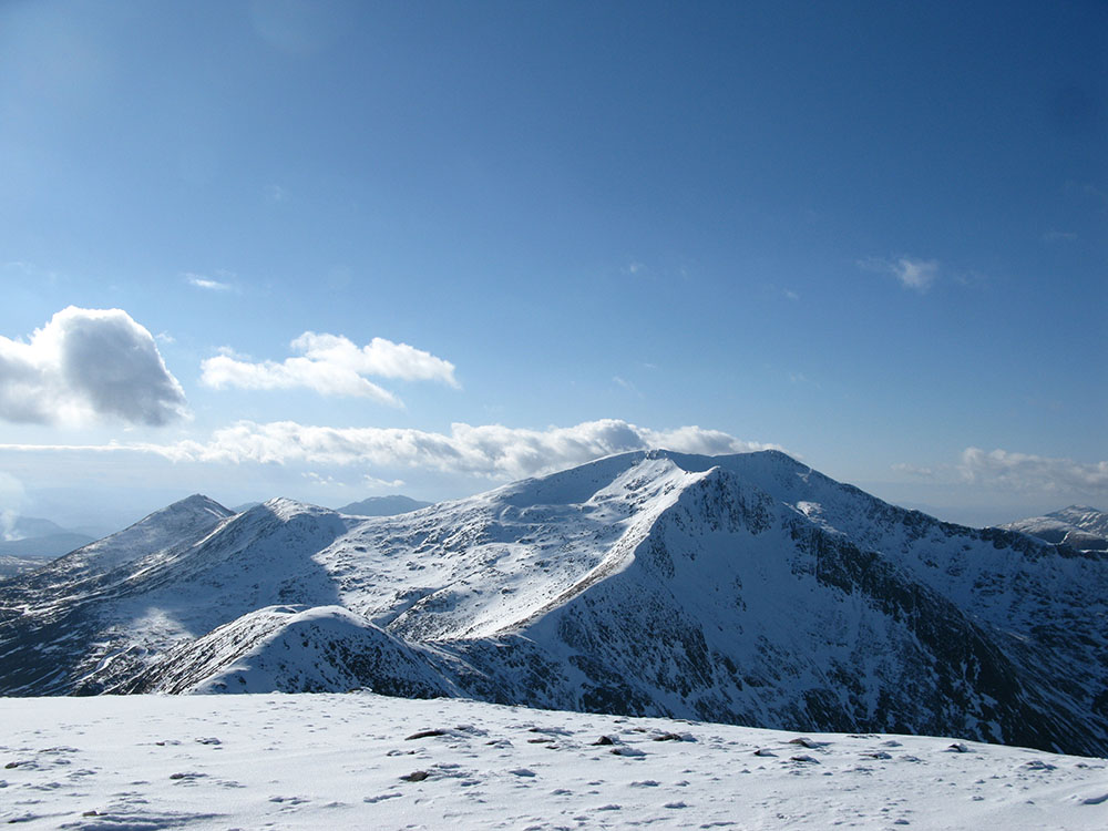
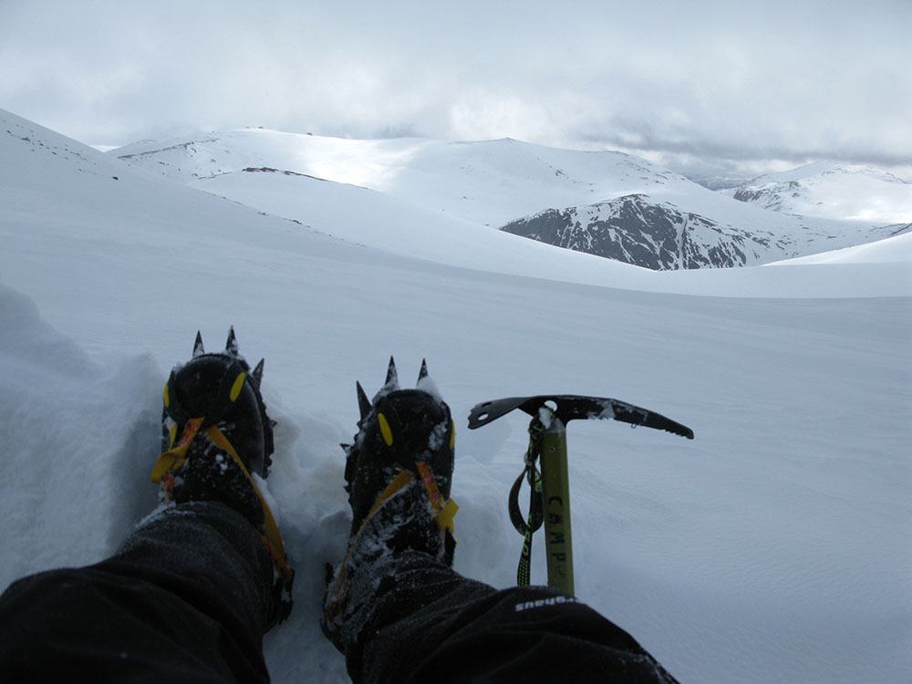
Meall an t-Seallaidh from Cam Chreag
Date: 15/02/10 GPS: N 56.38853° W 4.37196° Altitude: 759m Google Maps Location |
Skiddaw
 |
 |
 |
 |
|
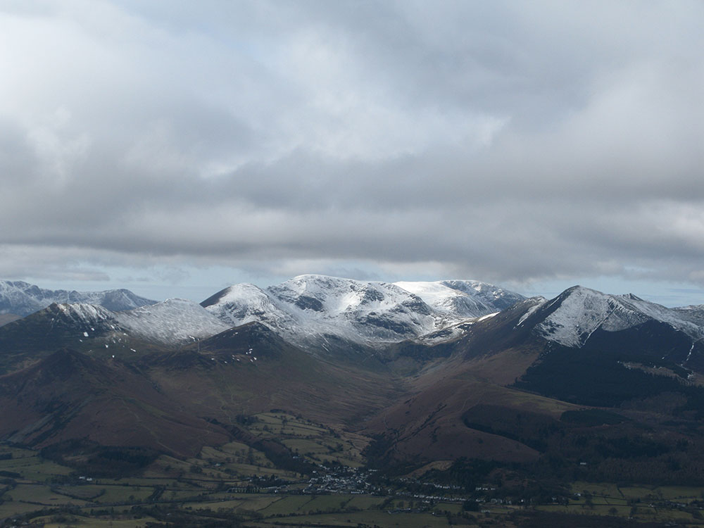
Eel Crag and Grasmoor from Skiddaw
Date: 06/03/10 GPS: N 54.63299° W 3.12407° Altitude: 672m Google Maps Location |
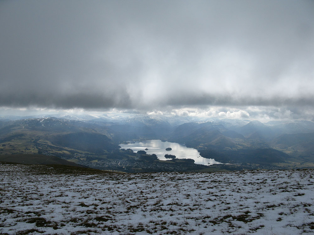
Derwentwater from Skiddaw
Date: 06/03/10 GPS: N 54.63675° W 3.12923° Altitude: 727m Google Maps Location |
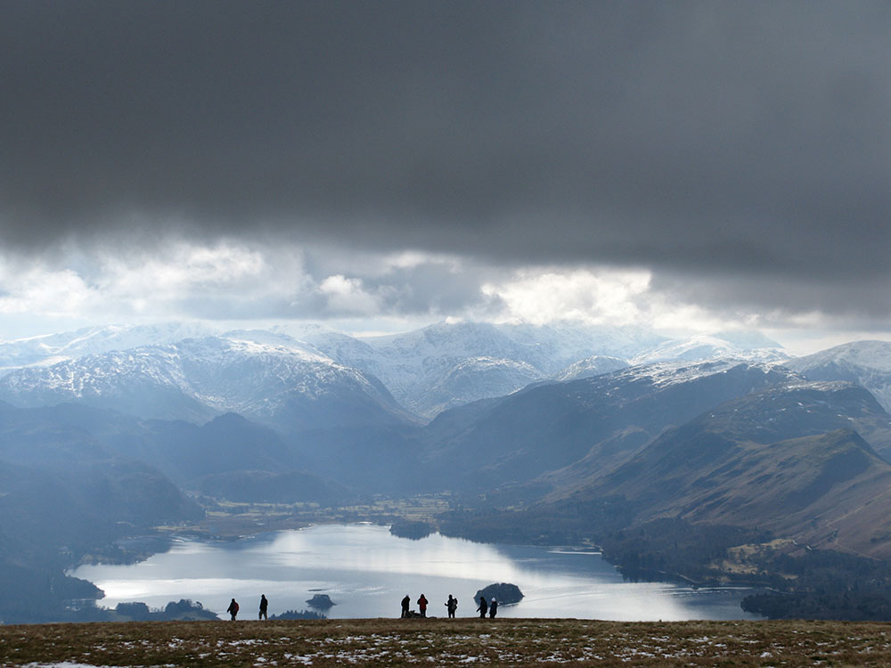
Derwentwater and Borrowdale from Skiddaw
Date: 06/03/10 GPS: N 54.63440° W 3.12316° Altitude: 690m Google Maps Location |
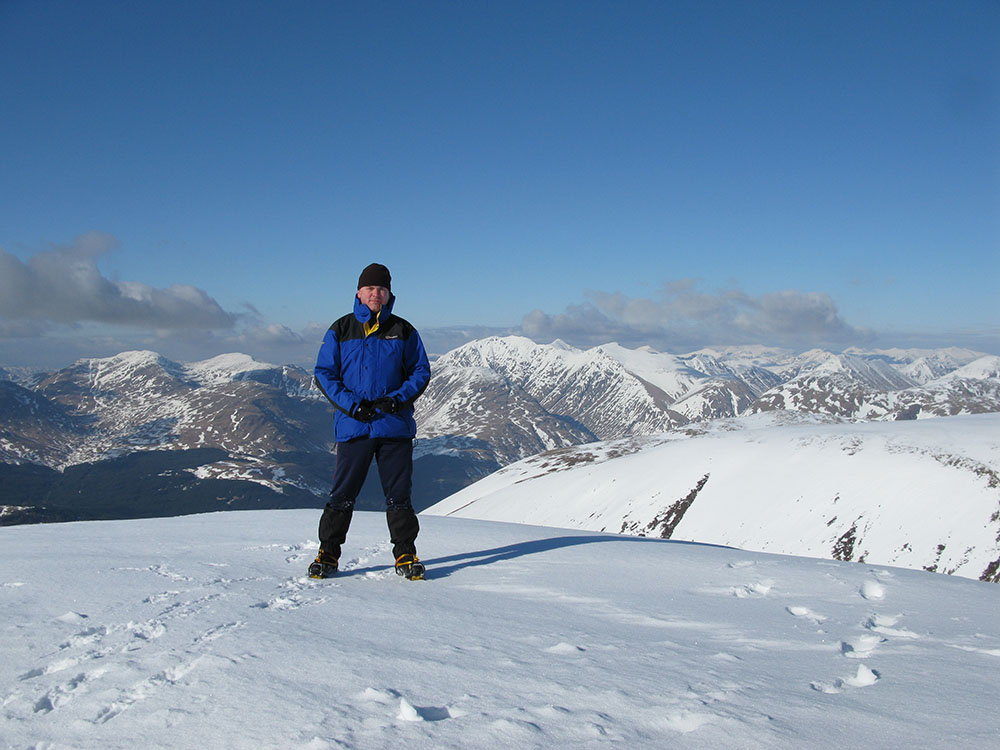
Glas Bheinn Mhor
Blairdenon Hill
 |
|||
|
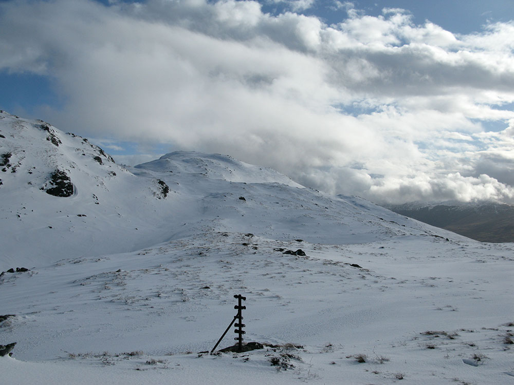
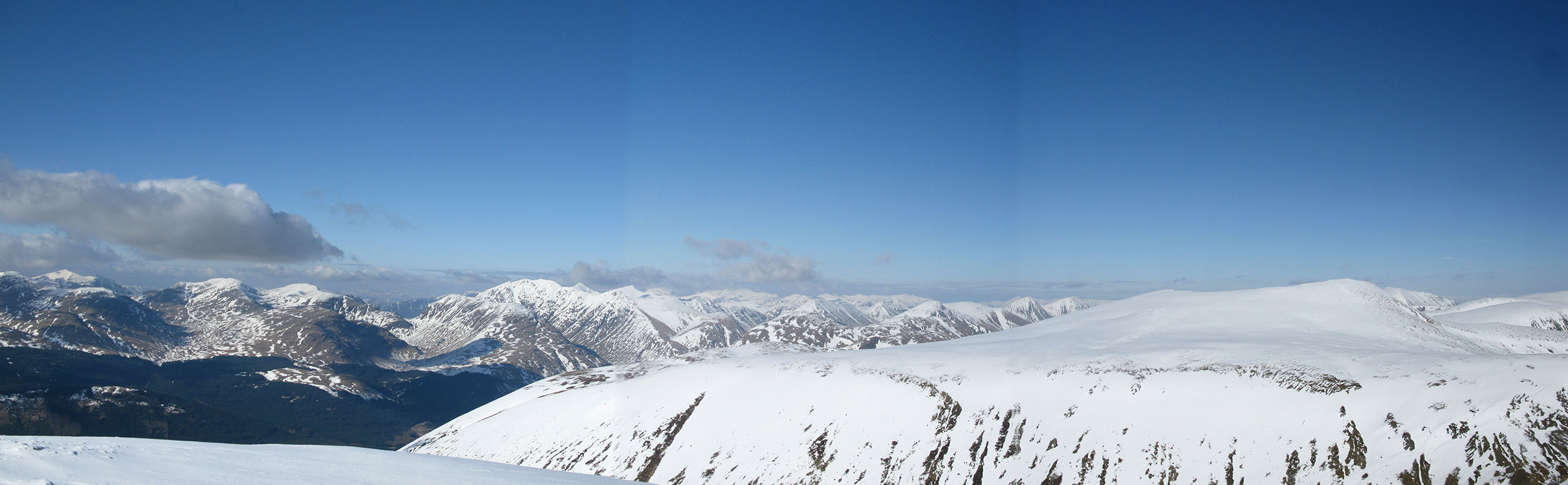
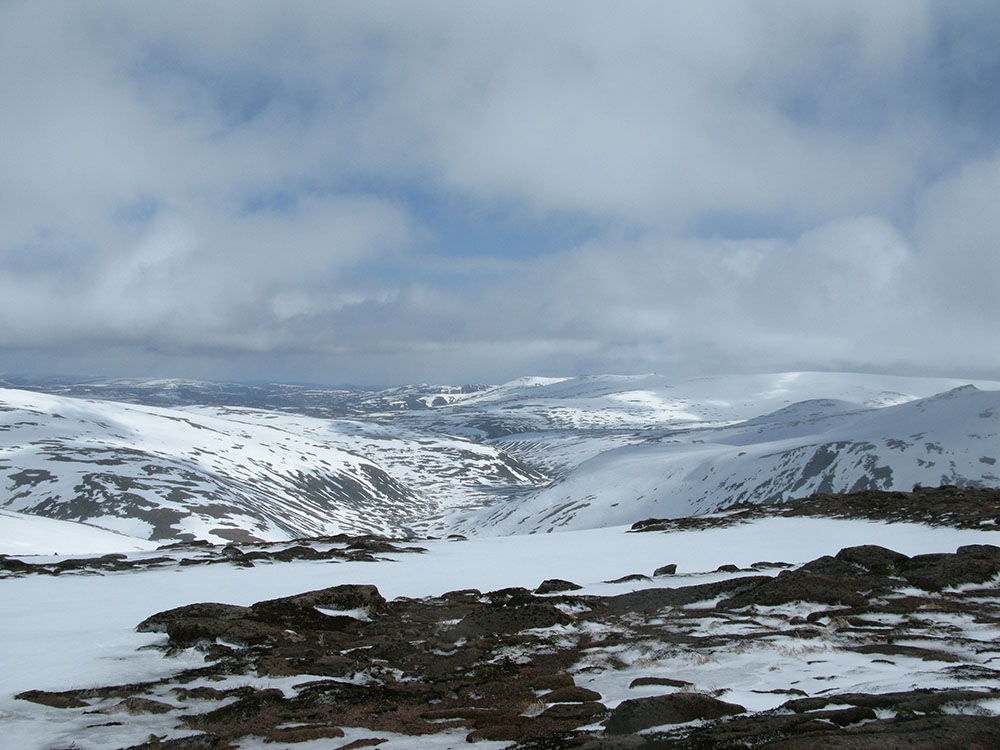
Blairdenon Hill and Ben Cleuch
Date: 21/03/10 GPS: N 56.19489° W 3.83521° Altitude: 615m Google Maps Location |
Cairn Gorm
 |
 |
 |
 |
|
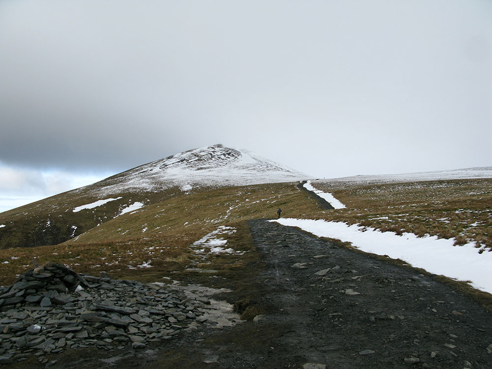
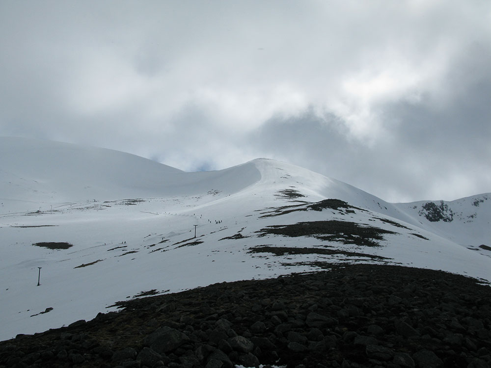
Meall a'Bhuachaille from Fiacaill a'Choire Chais
Date: 27/03/10 GPS: N 57.12782° W 3.67051° Altitude: 774m Google Maps Location |
Cairn Gorm, Coire Cas and Fiacaill a'Choire Chais
Date: 27/03/10 GPS: N 57.12364° W 3.66662° Altitude: 898m Google Maps Location |
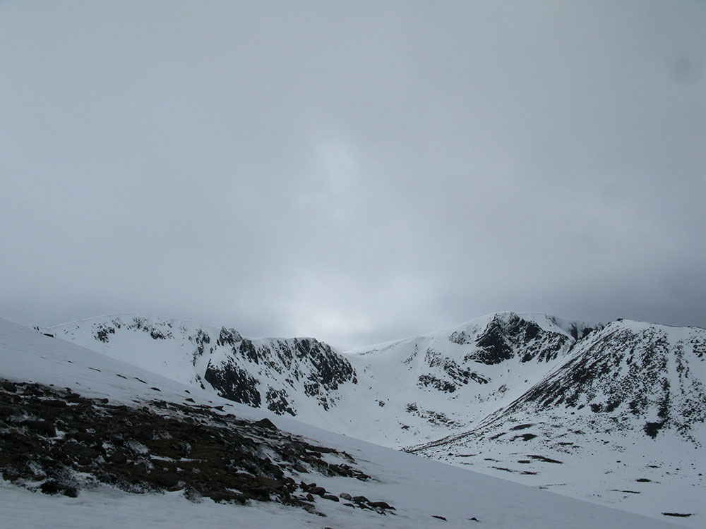
Coire an t-Sneachda from Fiacaill a'Choire Chais
Date: 27/03/10 GPS: N 57.11834° W 3.65919° Altitude: 1012m Google Maps Location |
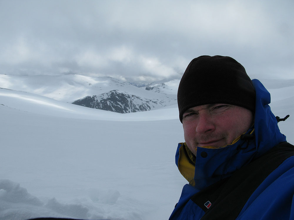
In Coire Raibeirt, Beinn Mheadhoin and Stacan Dubha behind
Date: 27/03/10 GPS: N 57.11303° W 3.65150° Altitude: 1100m Google Maps Location |
 |
 |
||
|
Looking towards Beinn Mheadhoin and Stacan Dubha from Coire Raibeirt
Date: 27/03/10 GPS: N 57.11303° W 3.65150° Altitude: 1100m Google Maps Location |
The River Avon and Beinn a'Bhuird from above Coire Raibeirt
Date: 27/03/10 GPS: N 57.10761° W 3.63896° Altitude: 1081m Google Maps Location |