Back to Home Page
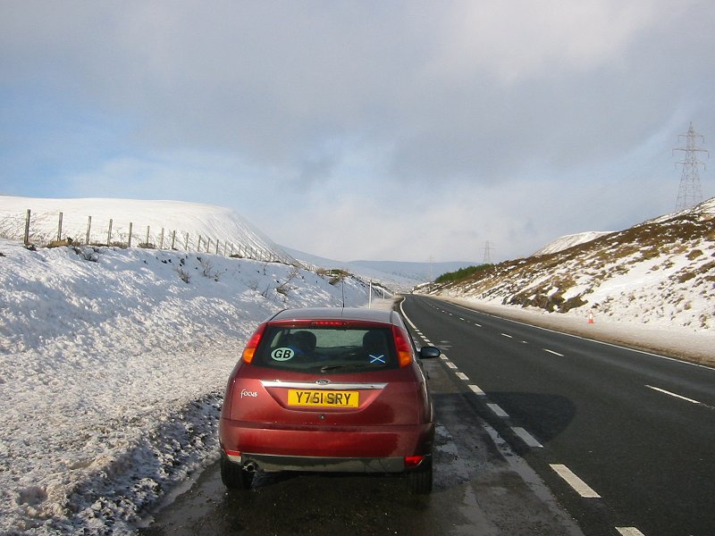
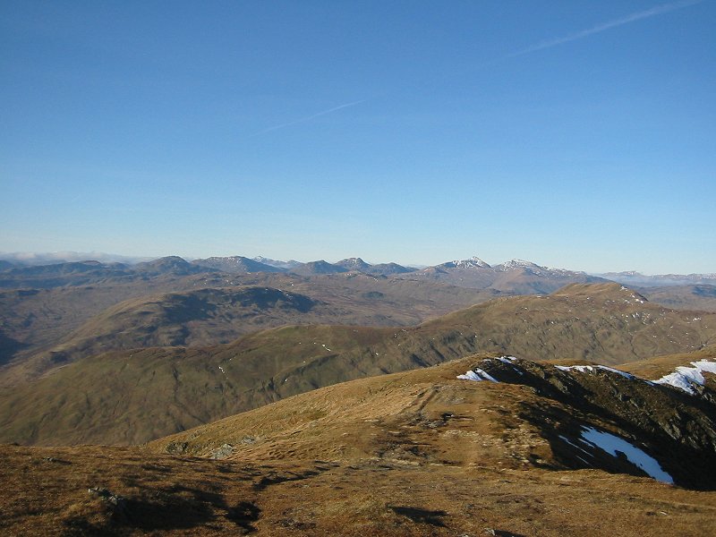
The A9 at Drumochter
Date: 22/01/2007
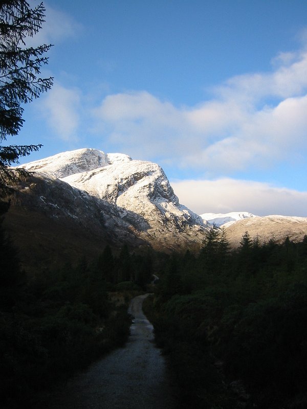
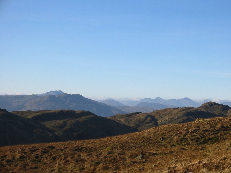
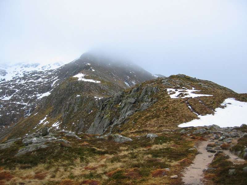
Fuar Tholl
Date: 22/01/2007
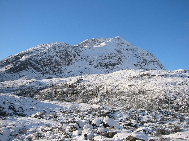
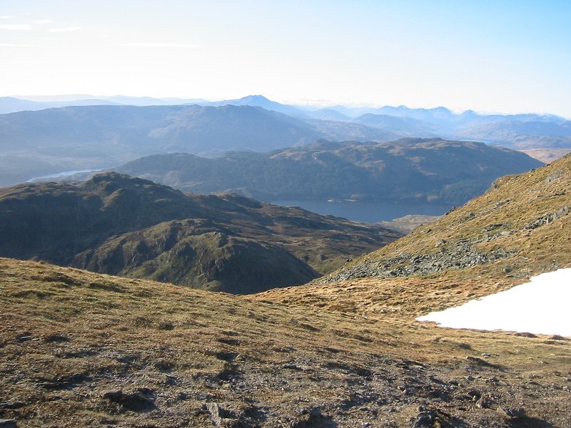
Fuar Tholl
Date: 22/01/2007
GPS: N 57.49092° W 5.34859°
Altitude: 278m
Google Maps Location
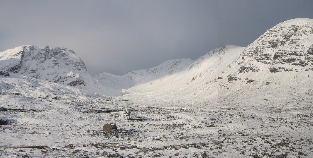
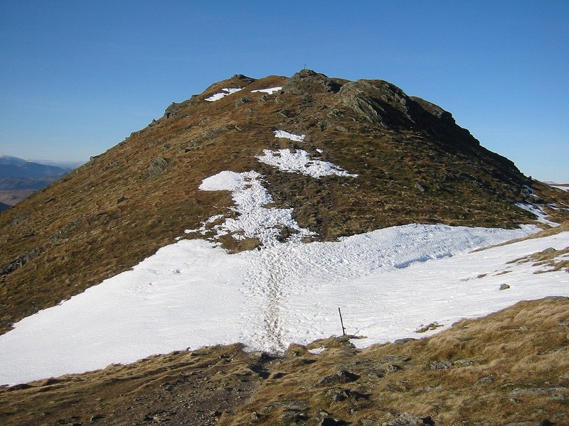
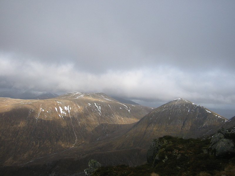
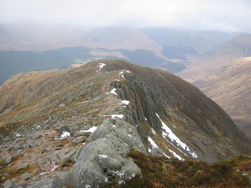
Sgorr Ruadh, Beinn Liath Mhor and Coire Lair
Date: 22/01/2007
GPS: N 57.49781° W 5.35575°
Altitude: 375m
Google Maps Location
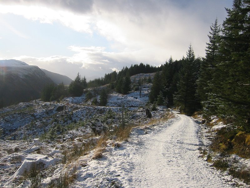
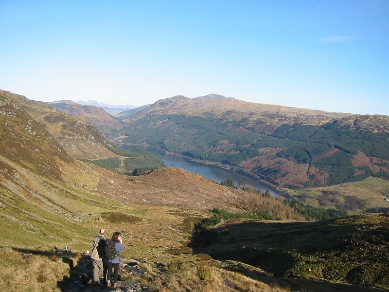
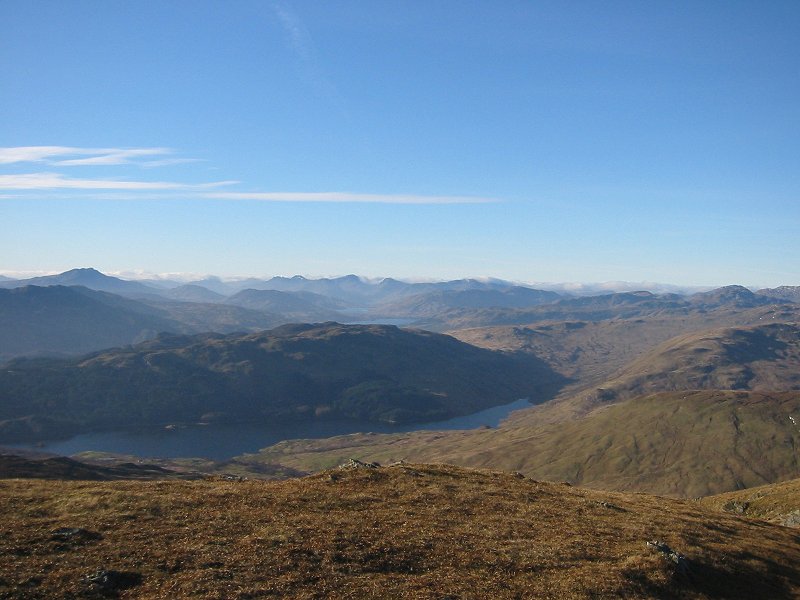
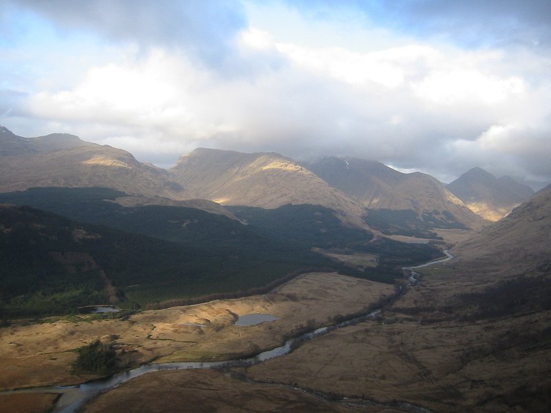
Looking west down Glen Carron from the Coulin Pass
Date: 22/01/2007