GPX format, 1102 points, 147 Kb
Google Earth KML file, 1102 points, 32 Kb
 Back to Home Page
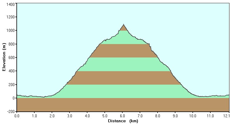
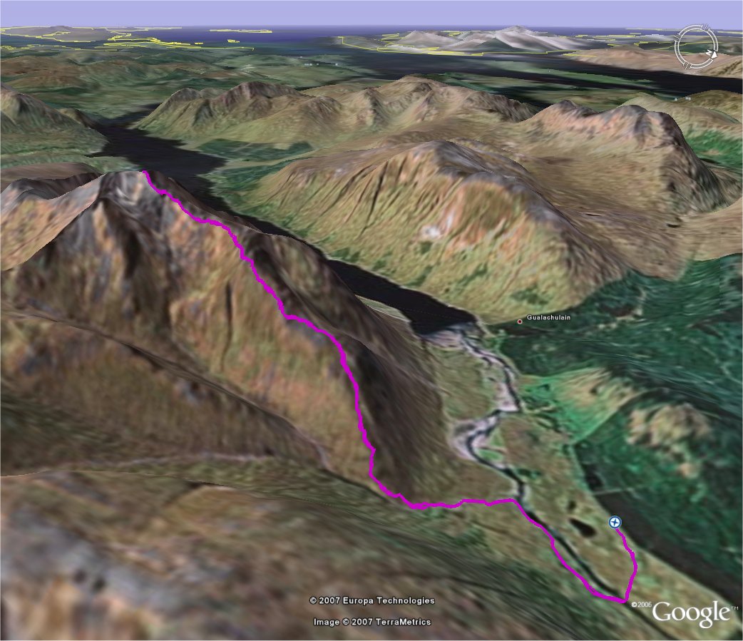
| Title Trip 14: Ben Starav | Click on thumbnail for Google Earth snapshot:
|
| Date 20/02/2007 | |
| Length 7.5 miles/ 12.1 km | |
| Start 0924 Finish 1641 | |
| Total time 7 hours 17 minutes | |
| Summits Ben Starav (1078m, M63) | |
|
Download trip 14 GPS data (track only) GPX format, 1102 points, 147 Kb Google Earth KML file, 1102 points, 32 Kb |