 Back to Home Page
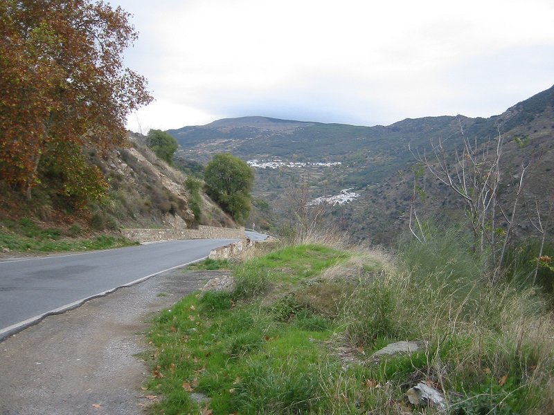
The villages of Bubión and Pampaneira from the south
Date: 05/11/2006
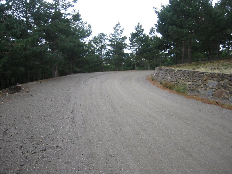
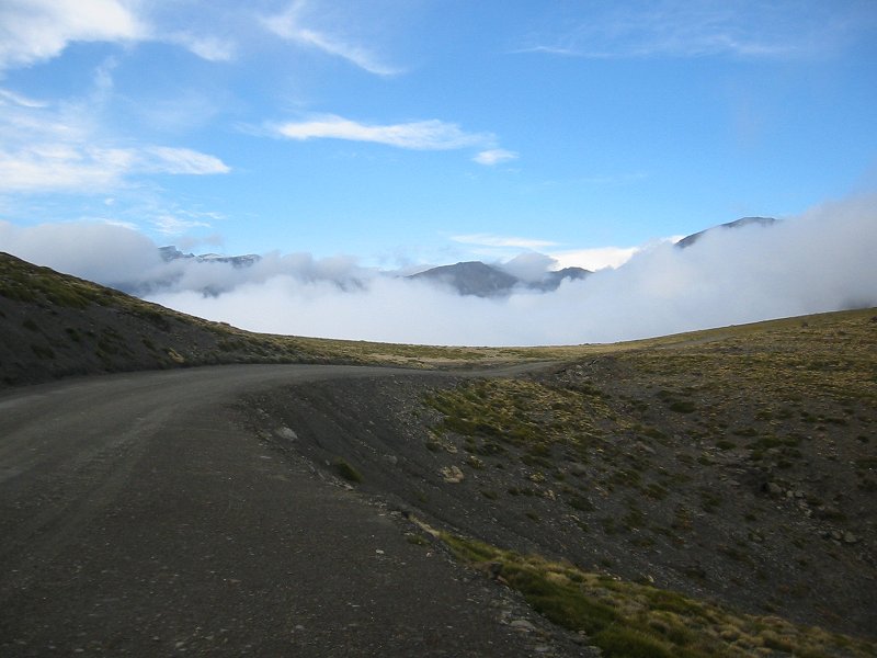
Dirt track to the Hoya del Portillo
Date: 05/11/2006
GPS: N 36.96843° W 3.33308°
Altitude: 2153m
Google Maps Location
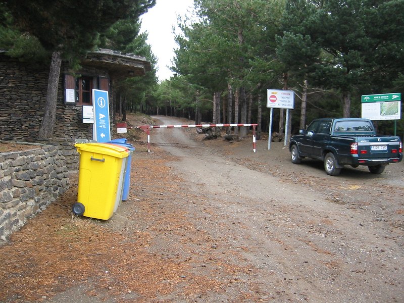
The Hoya del Portillo and the start of the trail to Mulhacén
Date: 05/11/2006
GPS: N 36.96843° W 3.33308°
Altitude: 2153m
Google Maps Location
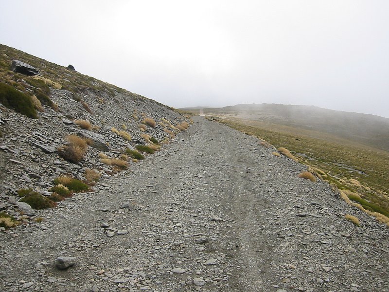
Looking south along the Mulhacén trail towards Alto del Chorrillo
Date: 05/11/2006
GPS: N 37.01850° W 3.30502°
Altitude: 2749m
Google Maps Location
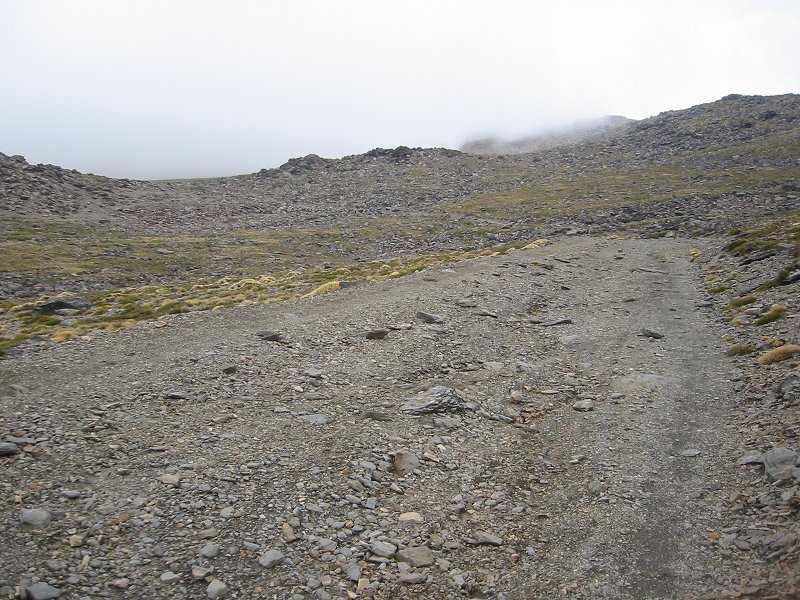
Looking north along the Mulhacén trail towards the Cañada de la Iglesia
Date: 05/11/2006
GPS: N 37.01850° W 3.30502°
Altitude: 2749m
Google Maps Location
Looking north along the Mulhacén trail towards the Cañada de la Iglesia
Date: 05/11/2006
GPS: N 37.02277° W 3.30594°
Altitude: 2793m
Google Maps Location
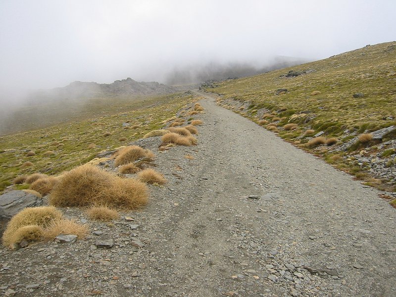
Looking south from the Loma del Tanto on the Mulhacén trail
Date: 05/11/2006
GPS: N 37.02720° W 3.30362°
Altitude: 2932m
Google Maps Location
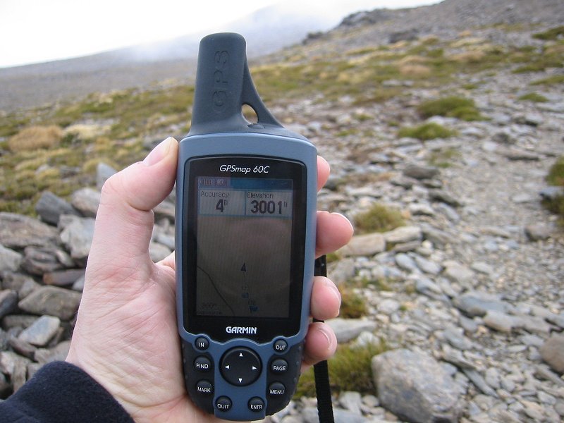
The Loma del Mulhacén; the 3000m level on the Mulhacén trail
Date: 05/11/2006
GPS: N 37.03138° W 3.30409°
Altitude: 3001m
Google Maps Location
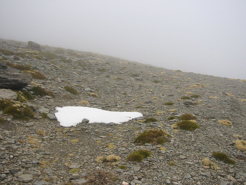
The Loma del Mulhacén; first snow patch on the Mulhacén trail
Date: 05/11/2006
GPS: N 37.03576° W 3.29951°
Altitude: 3090m
Google Maps Location
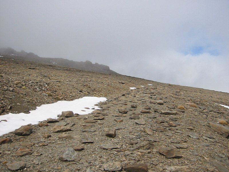
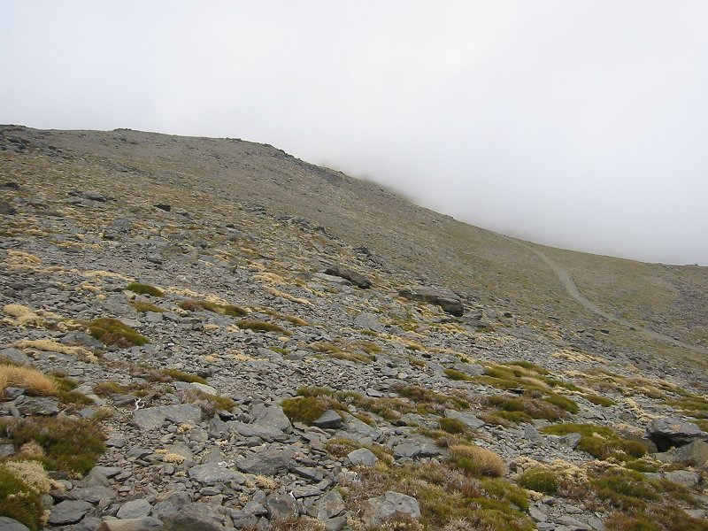
The Loma del Mulhacén; on the Mulhacén trail summit switchbacks
Date: 05/11/2006
GPS: N 37.04199° W 3.30400°
Altitude: 3201m
Google Maps Location
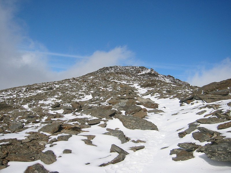
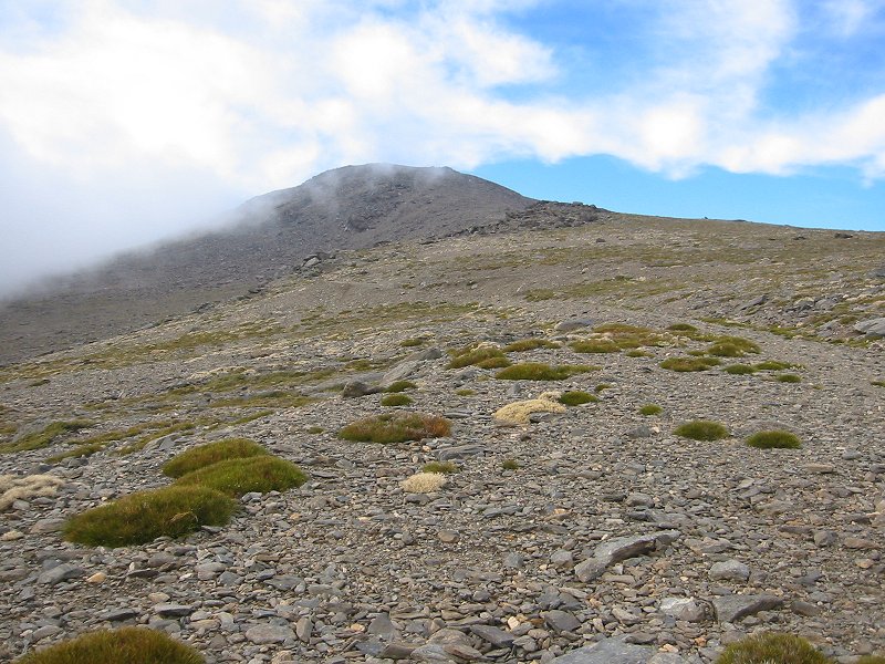
Approaching the summit of Mulhacén from the south
Date: 05/11/2006
GPS: N 37.05106° W 3.31196°
Altitude: 3439m
Google Maps Location

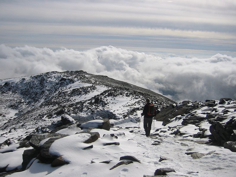
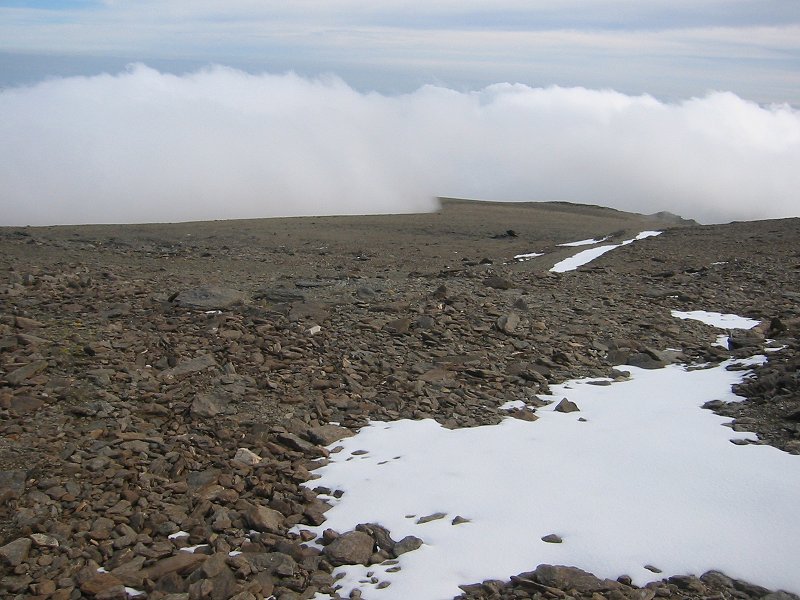
Above the clouds close to the summit of Mulhacén
Date: 05/11/2006
GPS: N 37.05252° W 3.31196°
Altitude: 3457m
Google Maps Location
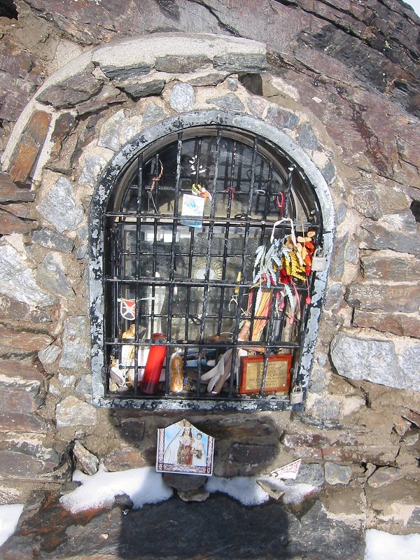
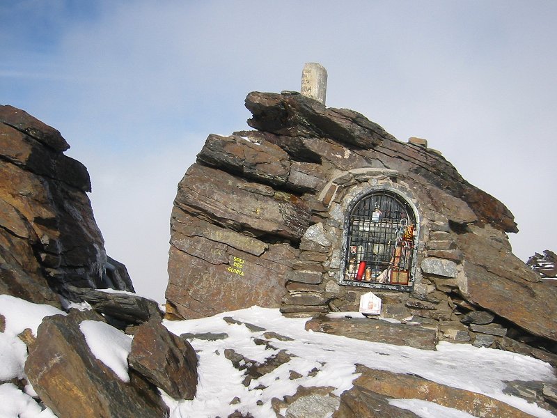
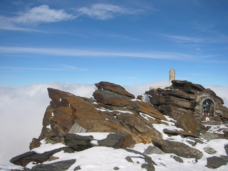
Shrine on the summit of Mulhacén
Date: 05/11/2006
GPS: N 37.05336° W 3.31157°
Altitude: 3482m
Google Maps Location
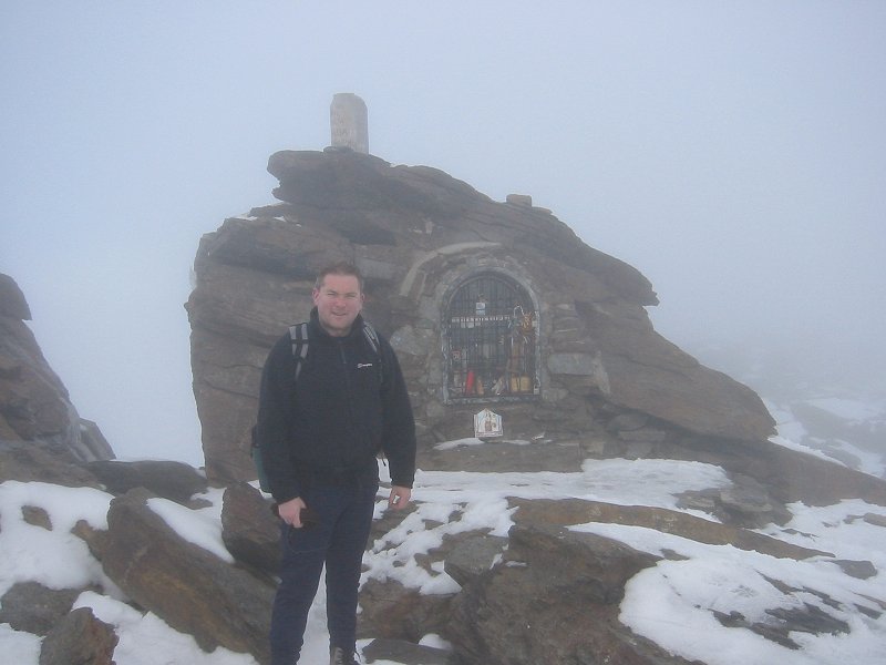
The summit of Mulhacén
Date: 05/11/2006
GPS: N 37.05336° W 3.31157°
Altitude: 3482m
Google Maps Location
The summit of Mulhacén
Date: 05/11/2006
GPS: N 37.05336° W 3.31157°
Altitude: 3482m
Google Maps Location
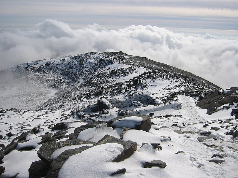
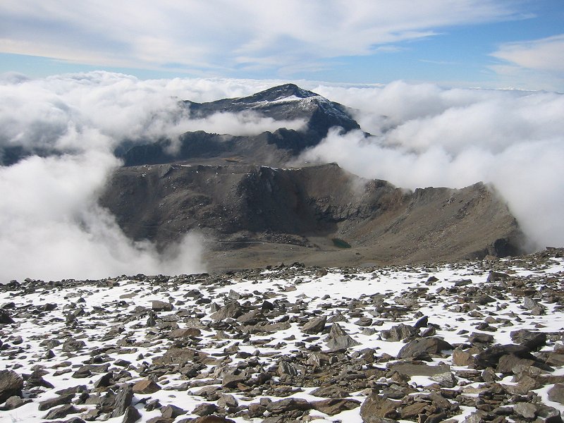
Looking south from the summit of Mulhacén
Date: 05/11/2006
GPS: N 37.05336° W 3.31157°
Altitude: 3482m
Google Maps Location
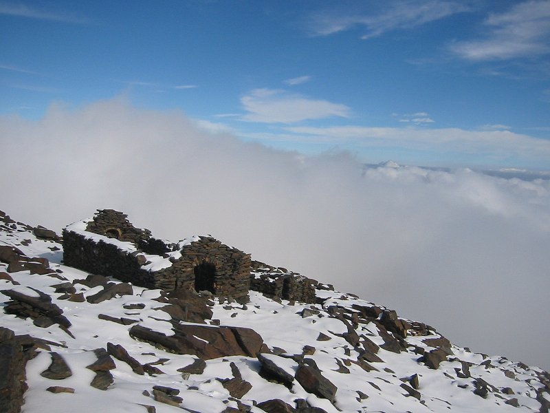
Ruined shelter on the summit of Mulhacén
Date: 05/11/2006
GPS: N 37.05336° W 3.31157°
Altitude: 3482m
Google Maps Location
Looking south from the summit of Mulhacén
Date: 05/11/2006
GPS: N 37.05336° W 3.31157°
Altitude: 3482m
Google Maps Location
The summit of Mulhacén
Date: 05/11/2006
GPS: N 37.05336° W 3.31157°
Altitude: 3482m
Google Maps Location
Looking west from near the summit of Mulhacén towards 3394m Veleta
Date: 05/11/2006
GPS: N 37.05271° W 3.31195°
Altitude: 3460m
Google Maps Location
Looking back towards the summit of Mulhacén from the south
Date: 05/11/2006
GPS: N 37.05073° W 3.31200°
Altitude: 3440m
Google Maps Location
The Loma del Mulhacén; on the Mulhacén trail summit switchbacks
Date: 05/11/2006
GPS: N 37.04663° W 3.30827°
Altitude: 3316m
Google Maps Location
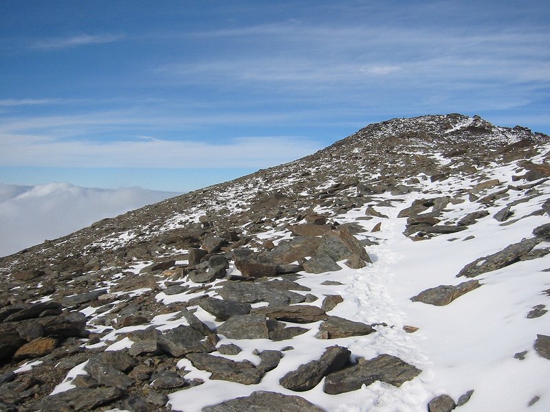
Looking back towards the Loma del Mulhacén
Date: 05/11/2006
GPS: N 37.03078° W 3.30366°
Altitude: 3004m
Google Maps Location
Looking north from the Mulhacén trail towards the summits of Veleta and Mulhacén
Date: 05/11/2006
GPS: N 36.99577° W 3.31188°
Altitude: 2579m
Google Maps Location
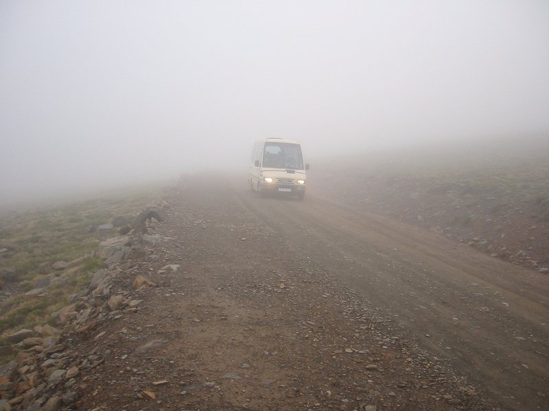 Bus from Capileira to Alto del Chorrillo
Date: 05/11/2006