GPX format, 1180 points, 161 Kb
Google Earth KML file, 1180 points, 34 Kb
 Back to Home Page
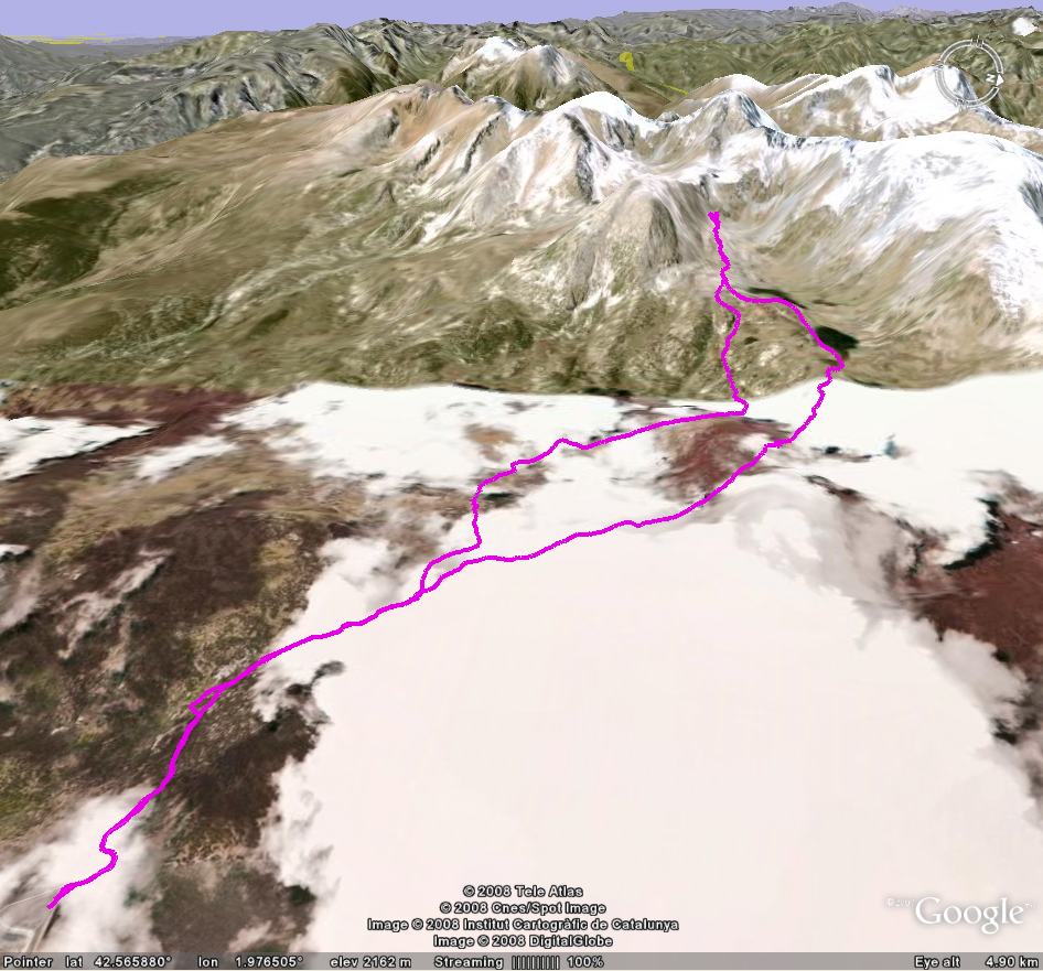
| Title Puig Carlit (France) | Click on thumbnail for Google Earth snapshot:
|
| Date 05/06/2008 | |
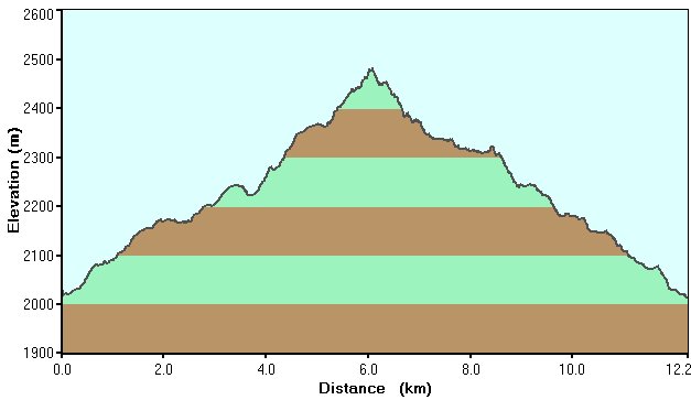
| Length 7.6 miles/ 12.2 km | |
| Start 0846 Finish 1349 | |
| Total time 5 hours 3 minutes | |
| Summits None (high point 2475m) | |
|
Download France trip GPS data (track only) GPX format, 1180 points, 161 Kb Google Earth KML file, 1180 points, 34 Kb |