Back to Home Page

June 08 - August 08 photos
See my Trips section for GPS data and a Google Maps display of the trip that these photos were taken on.

Trip 26: An Sgarsoch & Carn an Fhidhleir/Carn Ealar

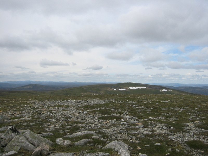
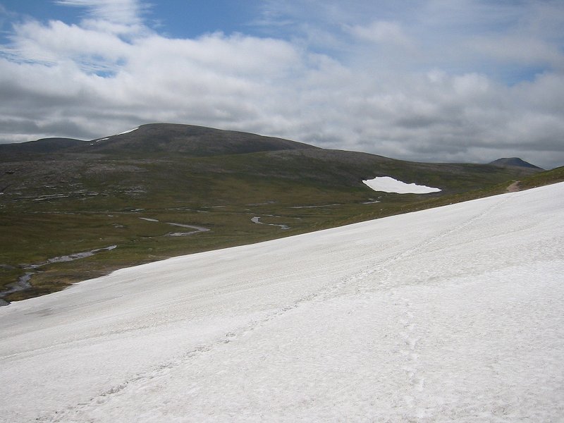
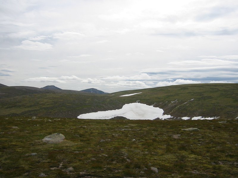
Carn an Fhidhleir/Carn Ealar from the summit of An Sgarsoch
Date: 21/06/2008
GPS: N 56.93195° W 3.75441°
Altitude: 1006m

Google Maps Location

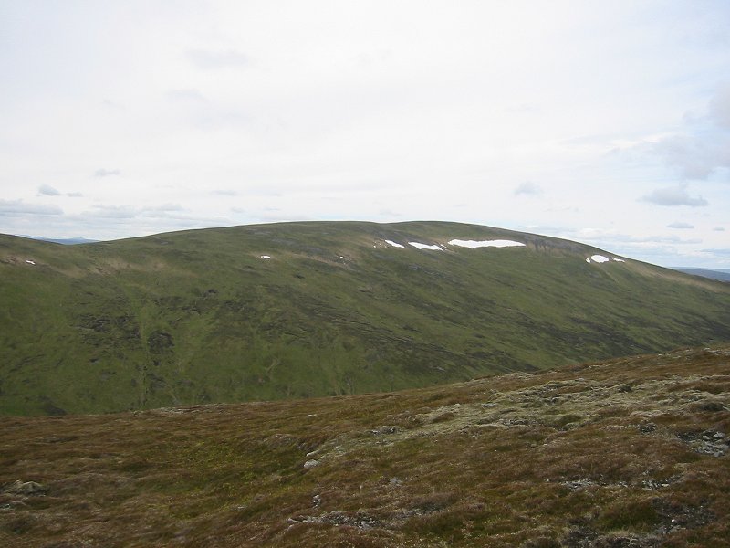
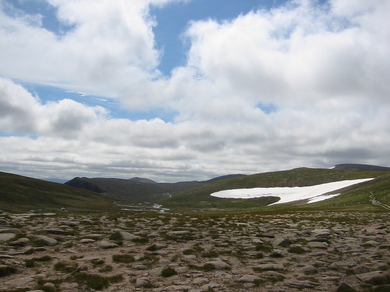
Carn an Fhidhleir/Carn Ealar from An Sgarsoch
Date: 21/06/2008
GPS: N 56.92980° W 3.76593°
Altitude: 906m

Google Maps Location

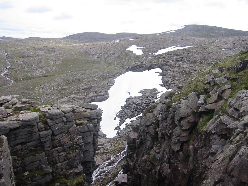
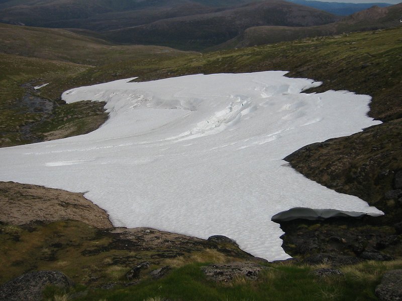
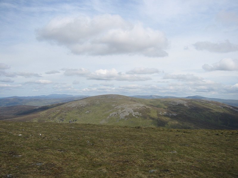
On the summit of Carn Fhidhleir/Carn Ealar
Date: 21/06/2008
GPS: N 56.93591° W 3.80167°
Altitude: 994m

Google Maps Location

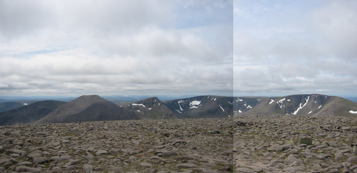
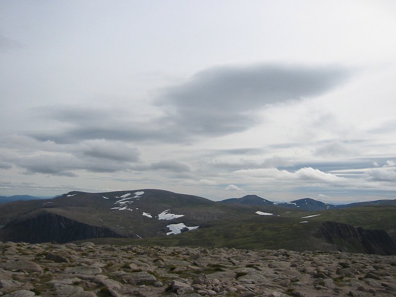
An Sgarsoch from the summit of Carn Fhidhleir/Carn Ealar
Date: 21/06/2008
GPS: N 56.93591° W 3.80167°
Altitude: 994m

Google Maps Location

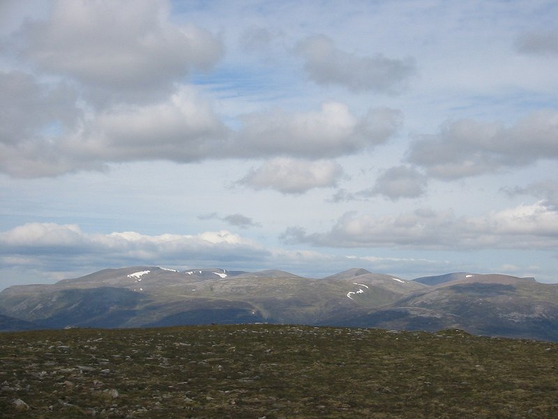
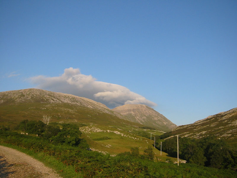
Monadh Mòr and Beinn Bhrotain from the summit of Carn Fhidhleir/Carn Ealar
Date: 21/06/2008
GPS: N 56.93591° W 3.80167°
Altitude: 994m

Google Maps Location

Trip 27: Ben Macdui & Cairn Gorm

Coire Domhain
Date: 13/07/2008
GPS: N 57.10484° W 3.66624°
Altitude: 1116m

Google Maps Location

The Fèith Buidhe and Ben Macdui
Date: 13/07/2008
GPS: N 57.09847° W 3.66976°
Altitude: 1145m

Google Maps Location

The Braeriach-Cairn Toul plateau from the summit of Ben Macdui
Date: 13/07/2008
GPS: N 57.070367° W 3.669117°
Altitude: 1309m

Google Maps Location

Fèith Buidhe snowfield
Date: 13/07/2008
GPS: N 57.09609° W 3.66083°
Altitude: 1100m

Google Maps Location

Coire Domhain snowfield
Date: 13/07/2008
GPS: N 57.10392° W 3.65875°
Altitude: 1154m

Google Maps Location

Ben Macdui from the summit of Cairn Gorm
Date: 13/07/2008
GPS: N 57.116767° W -3.644450°
Altitude: 1244m

Google Maps Location

Ciste Mhearaid snowfield
Date: 13/07/2008
GPS: N 57.12103° W 3.63749°
Altitude: 1148m

Google Maps Location

Conival

Conival from Gleann Dubh
Date: 17/08/2008