 Back to Home Page
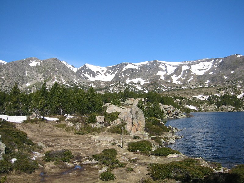
Puig Carlit from Estany de la Comassa
Date: 05/06/2008
GPS: N 42.56470° E 1.97880°
Altitude: 2170m
Google Maps Location
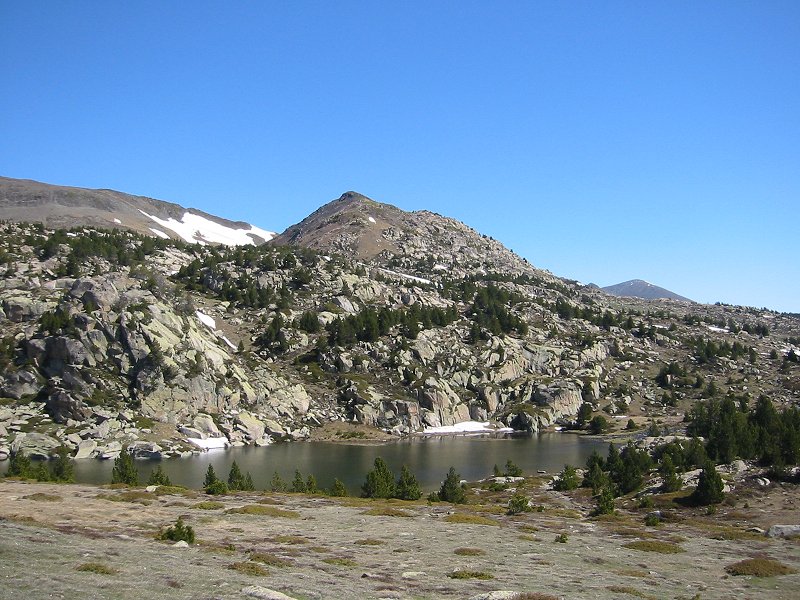
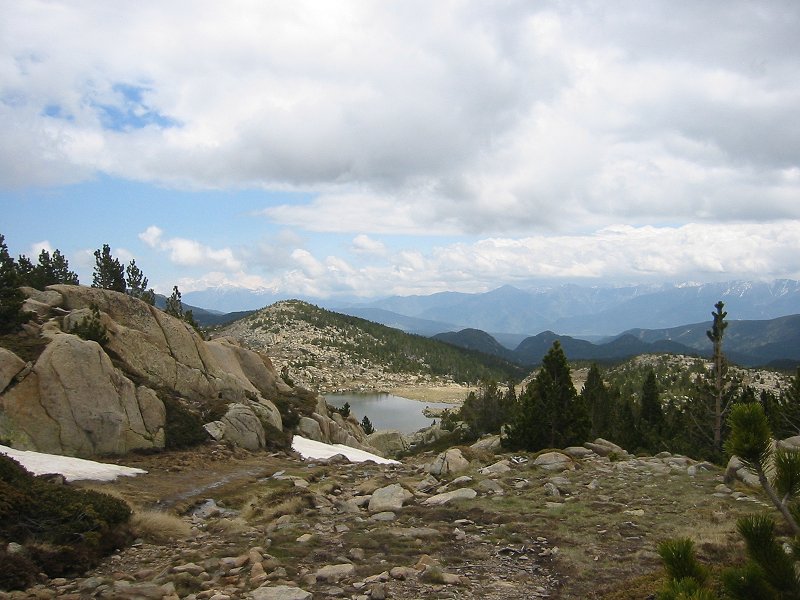
Estany de Vallell
Date: 05/06/2008
GPS: N 42.57175° E 1.97003°
Altitude: 2242m
Google Maps Location
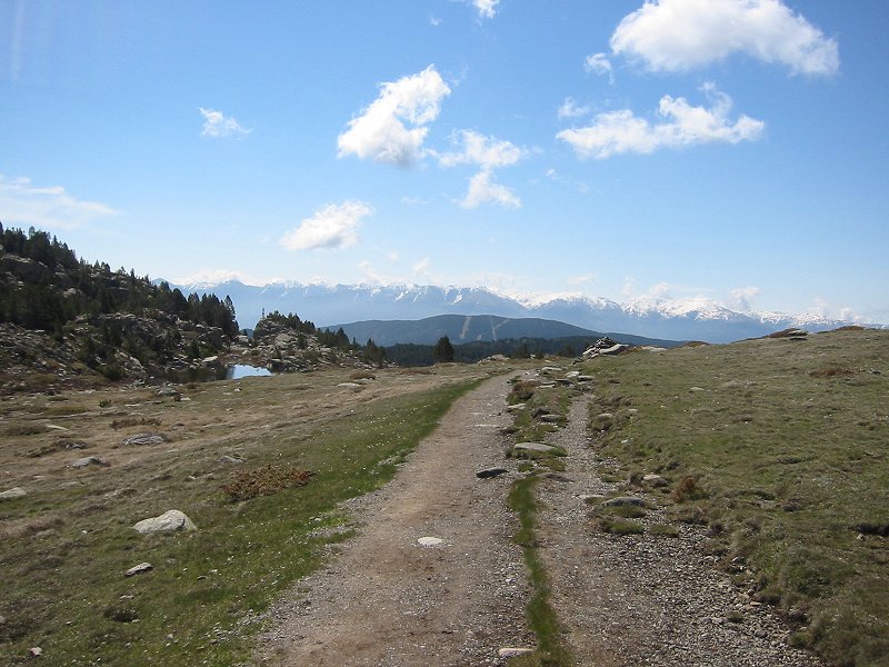
Looking back towards the Catalan Pyrenees
Date: 05/06/2008
GPS: N 42.57175° E 1.97003°
Altitude: 2242m
Google Maps Location
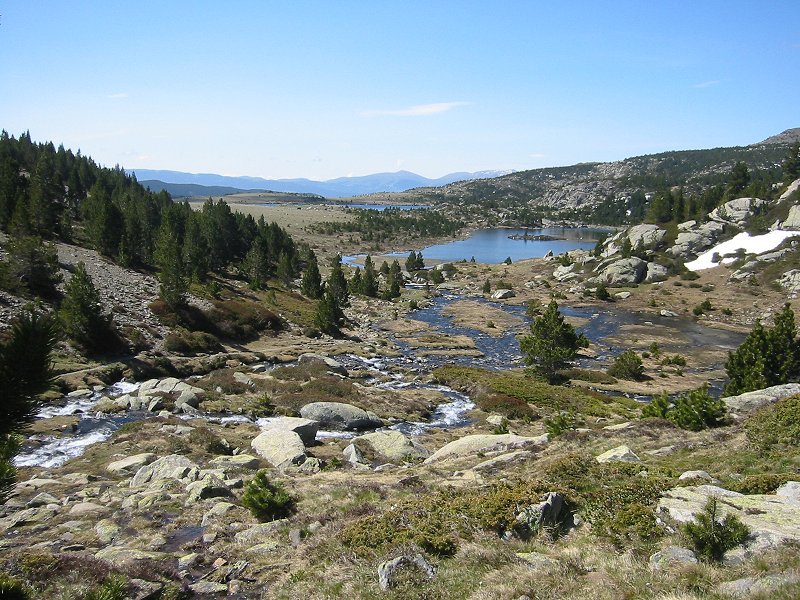
Estany Llong
Date: 05/06/2008
GPS: N 42.57310° E 1.96821°
Altitude: 2220m
Google Maps Location
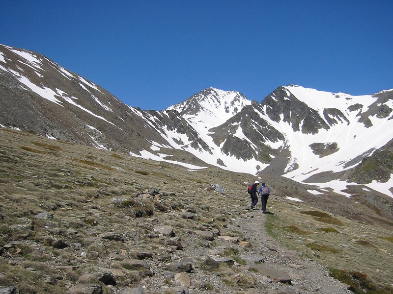
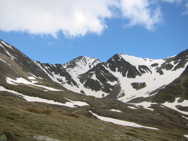
Puig Carlit from the east
Date: 05/06/2008
GPS: N 42.57157° E 1.95523°
Altitude: 2362m
Google Maps Location
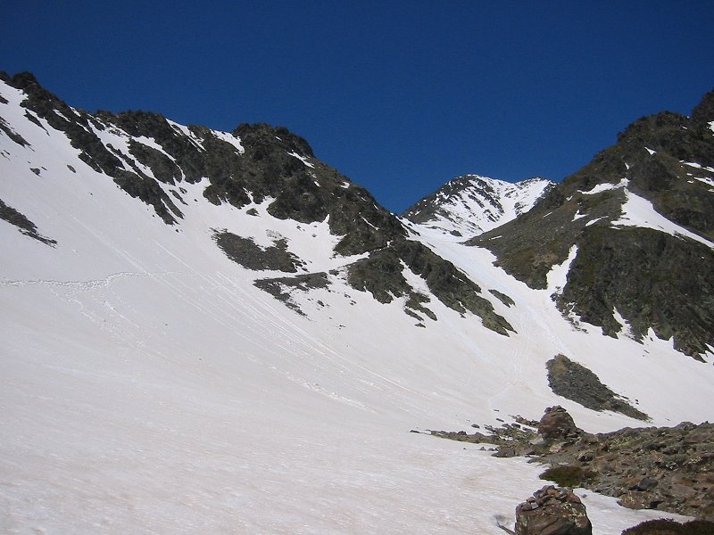
Trail up the east face of Puig Carlit
Date: 05/06/2008
GPS: N 42.57087° E 1.94595°
Altitude: 2438m
Google Maps Location
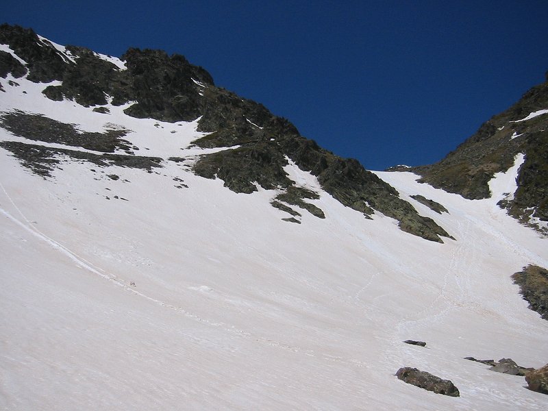
Trail up the east face of Puig Carlit
Date: 05/06/2008
GPS: N 42.57087° E 1.94595°
Altitude: 2438m
Google Maps Location
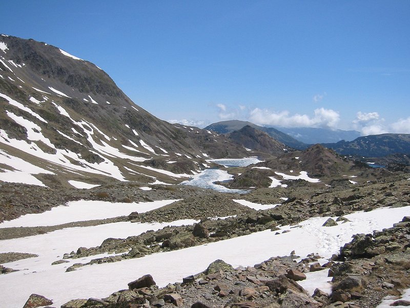
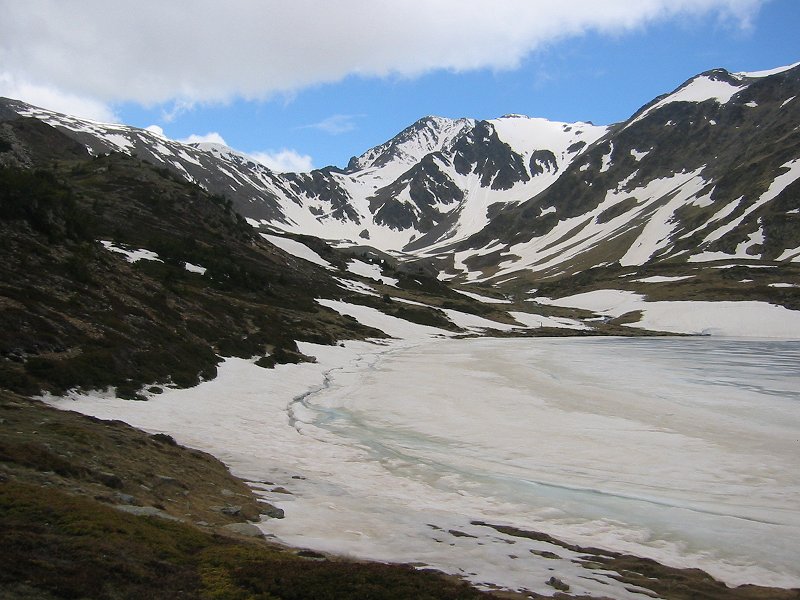
Estany Sobira and Estany de Trebens from the east face of Puig Carlit
Date: 05/06/2008
GPS: N 42.57087° E 1.94595°
Altitude: 2438m
Google Maps Location
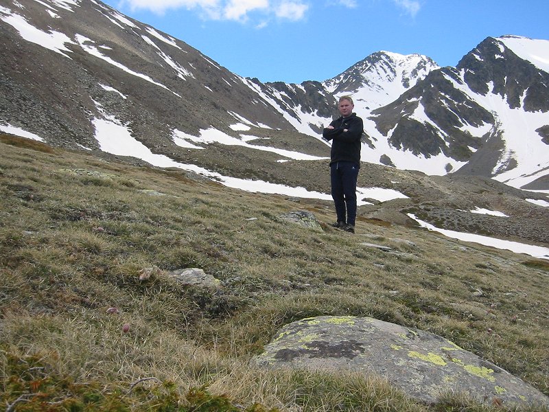
In front of Puig Carlit
Date: 05/06/2008
GPS: N 42.57179° E 1.95370°
Altitude: 2353m
Google Maps Location
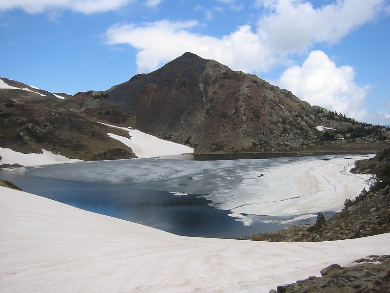
Puig Carlit from Estany Sobira
Date: 05/06/2008
GPS: N 42.57179° E 1.95370°
Altitude: 2353m
Google Maps Location
Puig Carlit from Estany Trebens
Date: 05/06/2008
Estany de Castellà
Date: 05/06/2008
GPS: N 42.57608° E 1.96569°
Altitude: 2312m
Google Maps Location
Looking over Estany de les Dugues towards the Catalan Pyrenees and the Canigou Massif
Date: 05/06/2008
GPS: N 42.57574° E 1.96844°
Altitude: 2310m
Google Maps Location