Back to Home Page
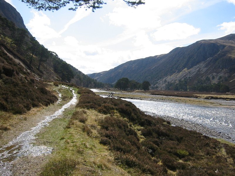
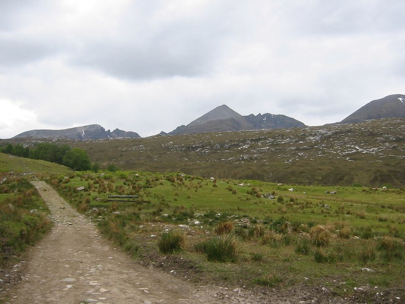
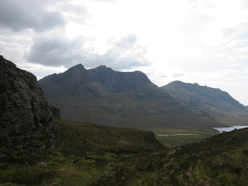
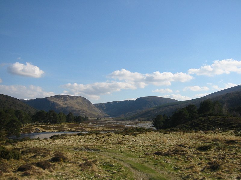
Looking into upper Glen Feshie
Date: 05/05/2008
GPS: N 57.00178° W 3.89852°
Altitude: 378m
Google Maps Location
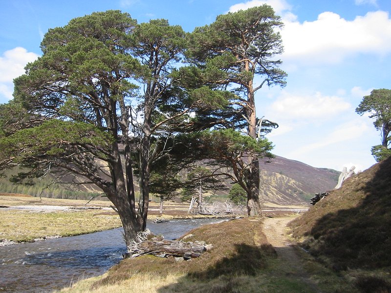
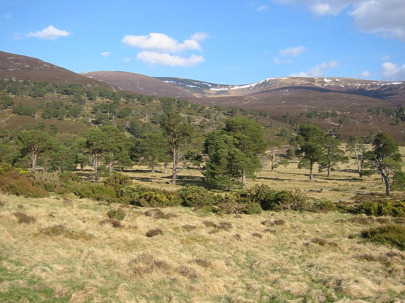
Scots Pine and the River Feshie
Date: 05/05/2008
GPS: N 57.00178° W 3.89852°
Altitude: 378m
Google Maps Location
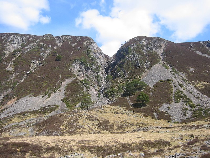
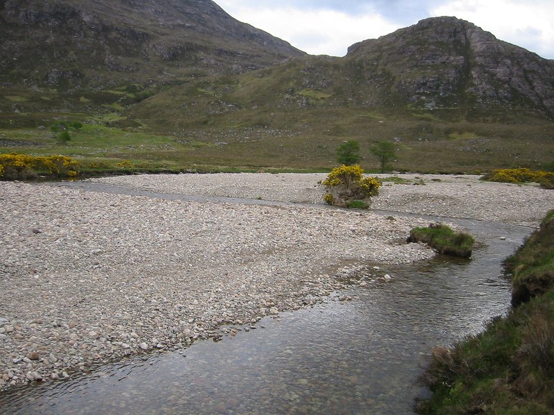
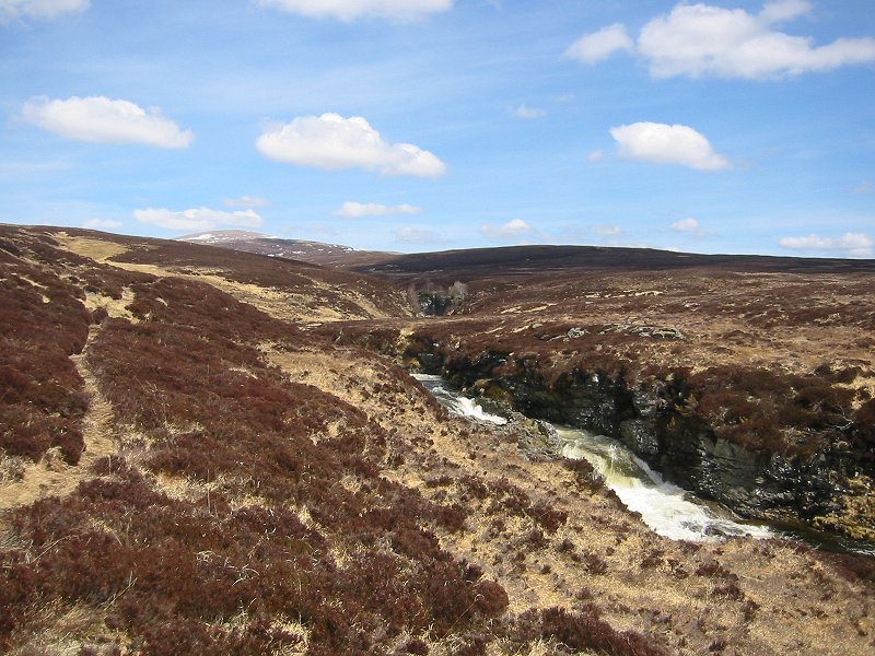
Gorge in Glen Feshie
Date: 05/05/2008
GPS: N 56.98620° W 3.87378°
Altitude: 407m
Google Maps Location
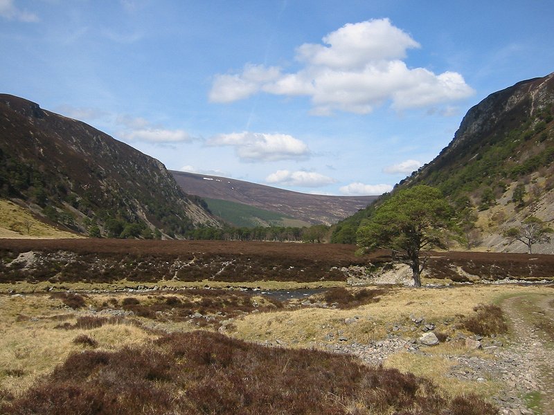
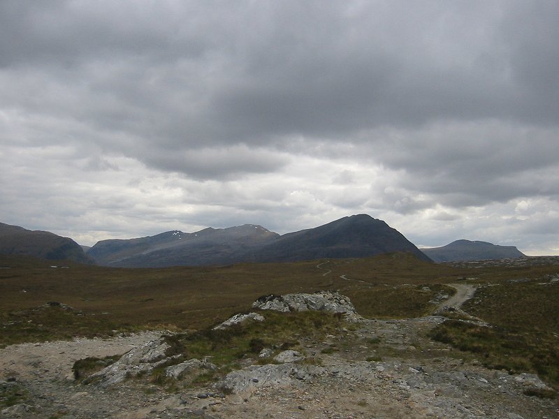
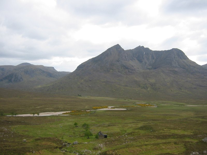
Upper Glen Feshie
Date: 05/05/2008
GPS: N 56.98620° W 3.87378°
Altitude: 407m
Google Maps Location
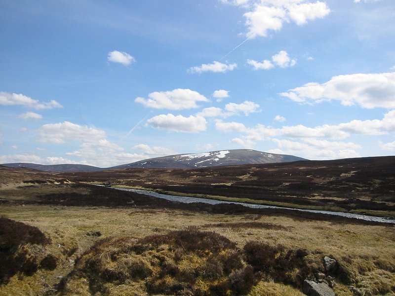
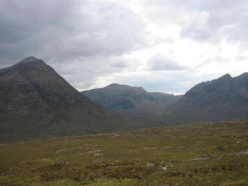
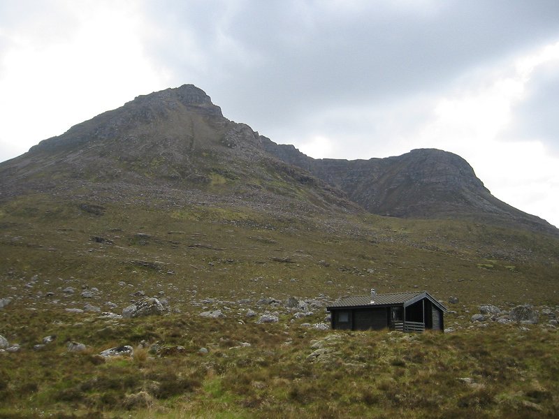
An Sgarsoch from the Feshie river
Date: 05/05/2008
GPS: N 56.97477° W 3.80131°
Altitude: 515m
Google Maps Location
River Eidart with Monadh Mor in the background
Date: 05/05/2008
GPS: N 56.97409° W 3.79486°
Altitude: 519m
Google Maps Location
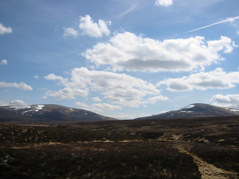
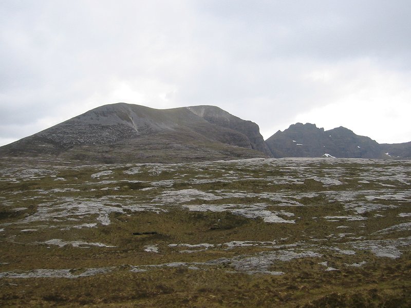
An Sgarsoch and Carn Ealar from the north
Date: 05/05/2008
GPS: N 56.97409° W 3.79486°
Altitude: 519m
Google Maps Location

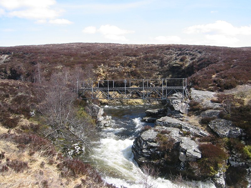
The River Eidart bridge
Date: 05/05/2008
GPS: N 56.97589° W 3.78979°
Altitude: 541m
Google Maps Location
The bridge over the River Eidart and falls
Date: 05/05/2008
GPS: N 56.97624° W 3.78883°
Altitude: 546m
Google Maps Location
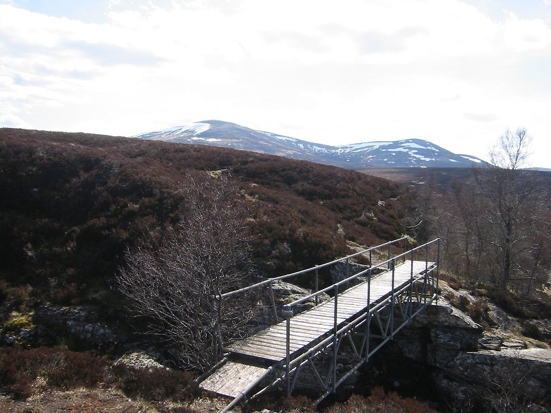
The River Eidart bridge with Carn Ealar in the background
Date: 05/05/2008
GPS: N 56.97624° W 3.78883°
Altitude: 546m
Google Maps Location
Looking south down Glen Feshie
Date: 05/05/2008
GPS: N 57.02059° W 3.90335°
Altitude: 369m
Google Maps Location
Mullach Clach à Bhlàir from Glen Feshie
Date: 05/05/2008
GPS: N 57.02059° W 3.90335°
Altitude: 369m
Google Maps Location