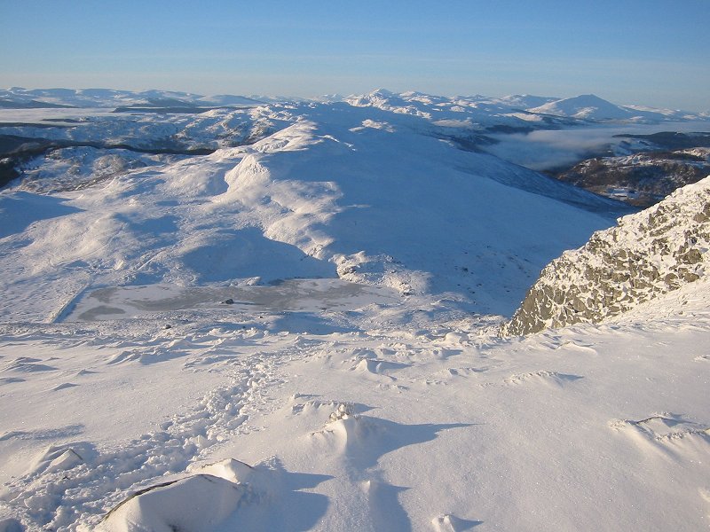
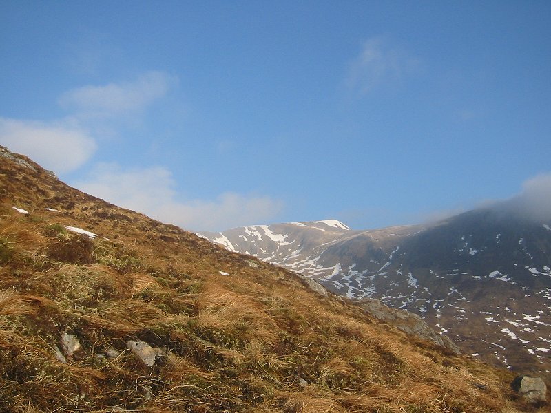
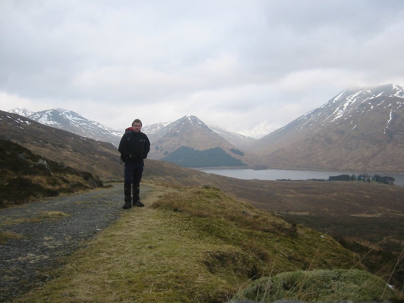
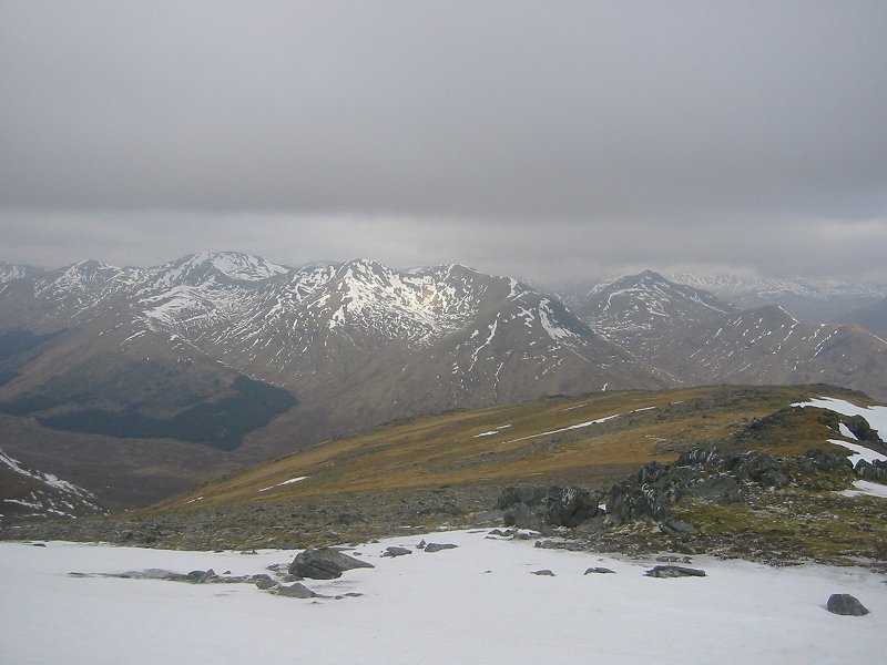
![]() Looking west from near the summit of Ben Vrackie towards Ben Lawers and Schiehallion Date: 12/01/2008 |
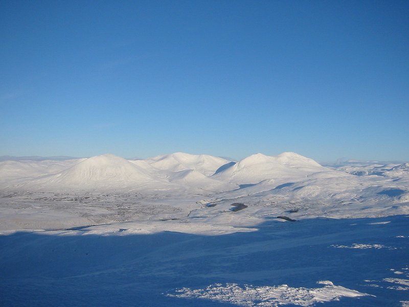
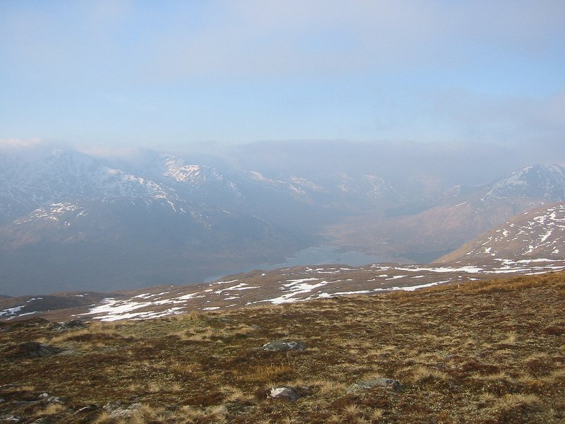
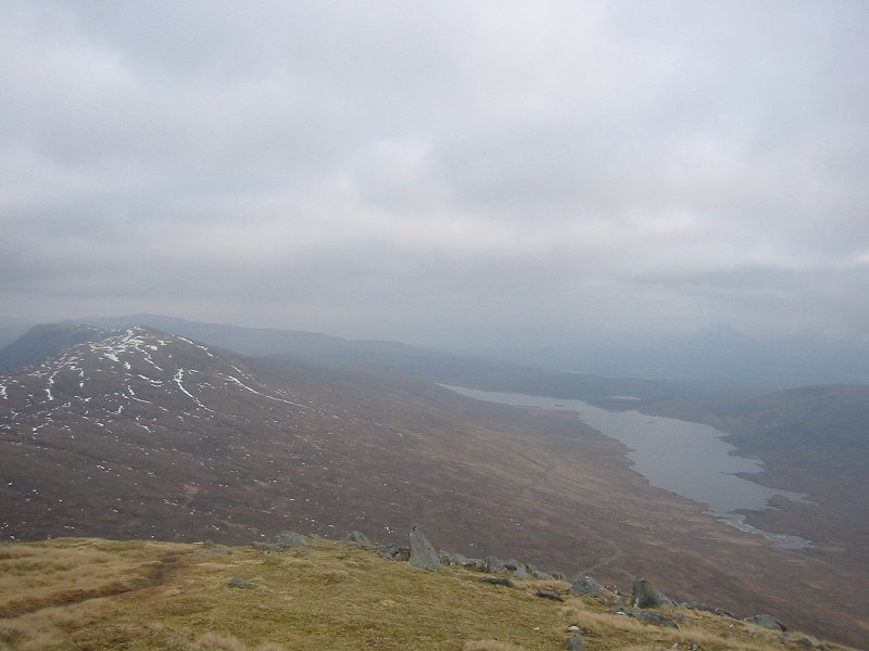
![]() Beinn a'Ghlo from the summit of Ben Vrackie Date: 12/01/2008 |
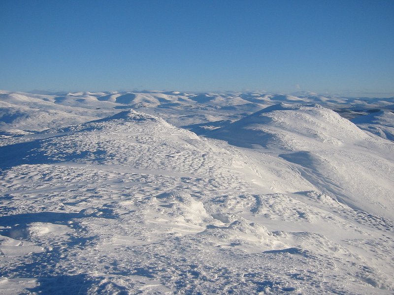
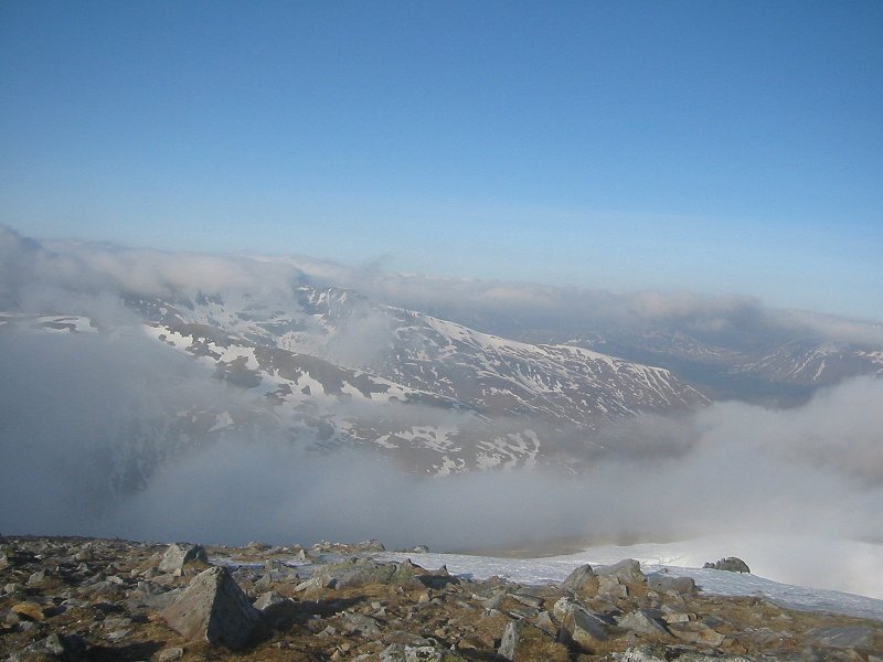
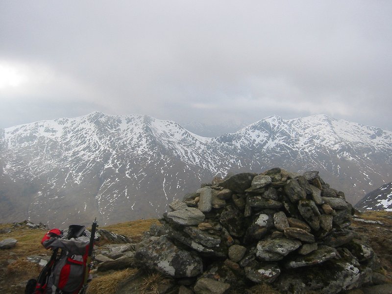
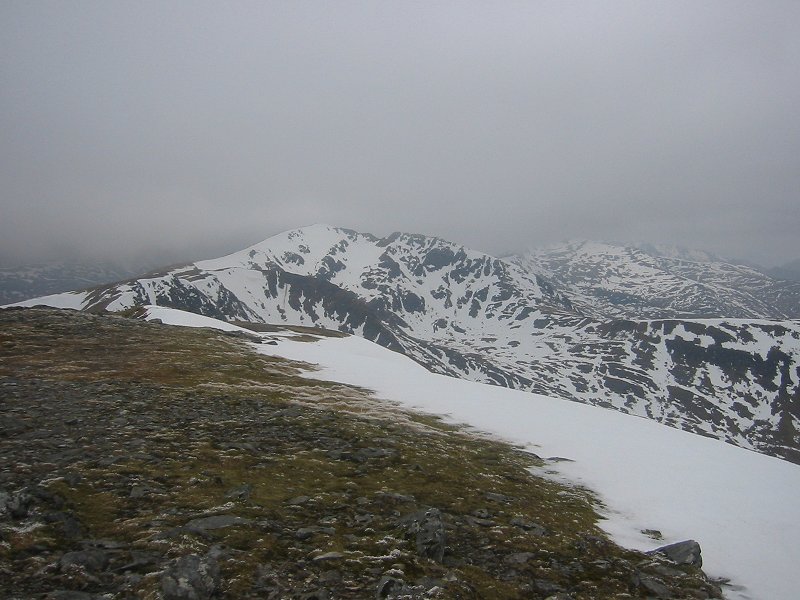
![]() Looking east from the summit of Ben Vrackie towards the White Mounth Date: 12/01/2008 |
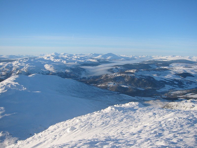
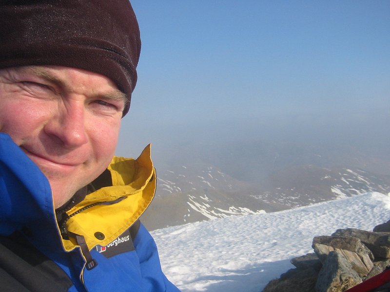
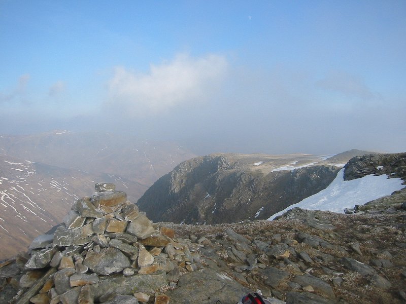
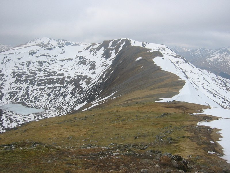
![]() Looking towards Rannoch and Glen Coe from the summit of Ben Vrackie Date: 12/01/2008 |
![]() Sgurr nan Conbhairean from Meall Breac Date: 16/02/2008 GPS: N 57.15669° W 5.10549° Altitude: 602m Google Maps Location |
![]() Loch Cluanie and Glen Shiel from Meall Breac Date: 16/02/2008 GPS: N 57.16422° W 5.10991° Altitude: 797m Google Maps Location |
![]() View from the summit of Sgurr nan Conbhairean Date: 16/02/2008 GPS: N 57.17761° W 5.09543° Altitude: 1109m Google Maps Location |
![]() On the summit of Sgurr nan Conbhairean Date: 16/02/2008 GPS: N 57.17761° W 5.09543° Altitude: 1109m Google Maps Location |
![]() Summit of Carn Ghlusaid Date: 16/02/2008 GPS: N 57.16615° W 5.06844° Altitude: 957m Google Maps Location |
![]() Loch Cluanie and A'Chralaig Date: 17/02/2008 GPS: N 57.13447° W 5.14386° Altitude: 368m Google Maps Location |
![]() Loch Loyne from Creag a'Mhaim Date: 17/02/2008 GPS: N 57.12019° W 5.15699° Altitude: 899m Google Maps Location |
![]() Spidean Mialach and Gleouraich from the summit of Creag a'Mhaim Date: 17/02/2008 GPS: N 57.12096° W 5.16003° Altitude: 947m Google Maps Location |
![]() Druim Shionnach from the summit of Creag a'Mhaim Date: 17/02/2008 GPS: N 57.12096° W 5.16003° Altitude: 947m Google Maps Location |
![]() Aonach Meadhoin from the summit of Druim Shionnach Date: 17/02/2008 GPS: N 57.12677° W 5.18288° Altitude: 987m Google Maps Location |
![]() Aonach air Chrith from the summit of Druim Shionnach Date: 17/02/2008 GPS: N 57.12677° W 5.18288° Altitude: 987m Google Maps Location |