Back to Home Page

Jul 07 - Dec 07 photos
See my Trips section for GPS data and a Google Maps display of the trip that these photos were taken on.

Trip 18: Beinn a'Bhuird

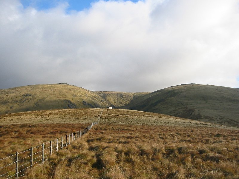
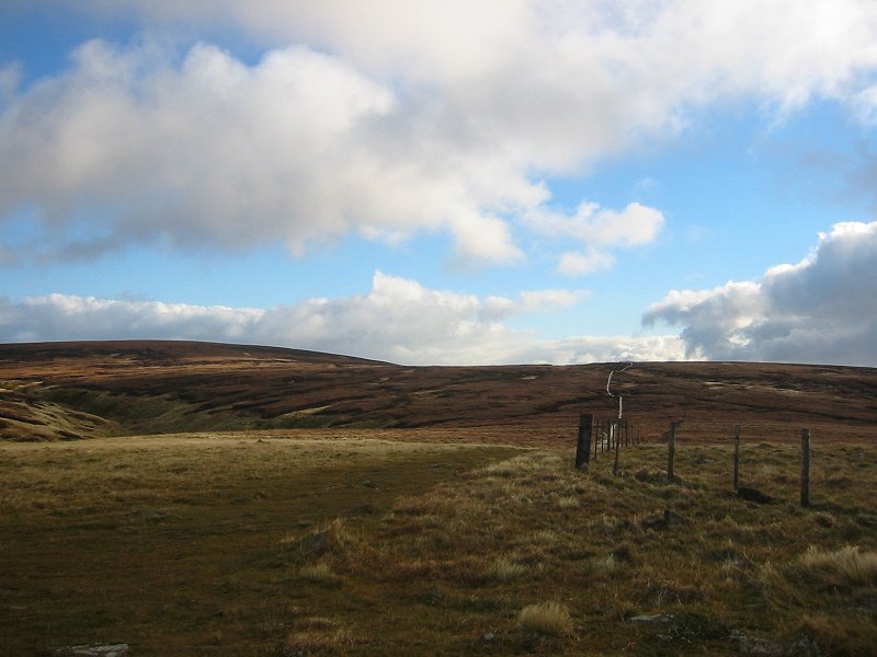
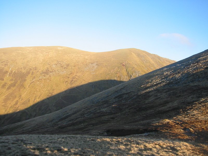
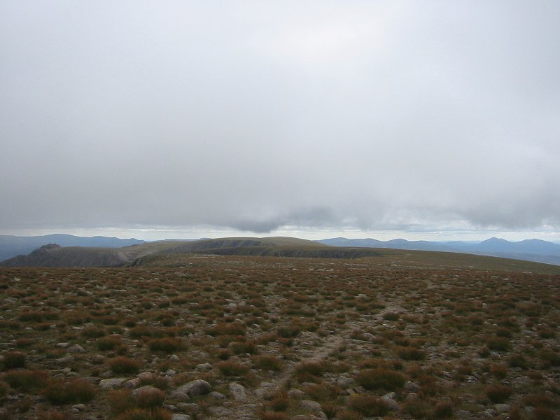
The ridge of An Diollaid on Beinn a'Bhuird
Date: 30/07/2007
GPS: N 57.05682° W 3.52658°
Altitude: 816m

Google Maps Location

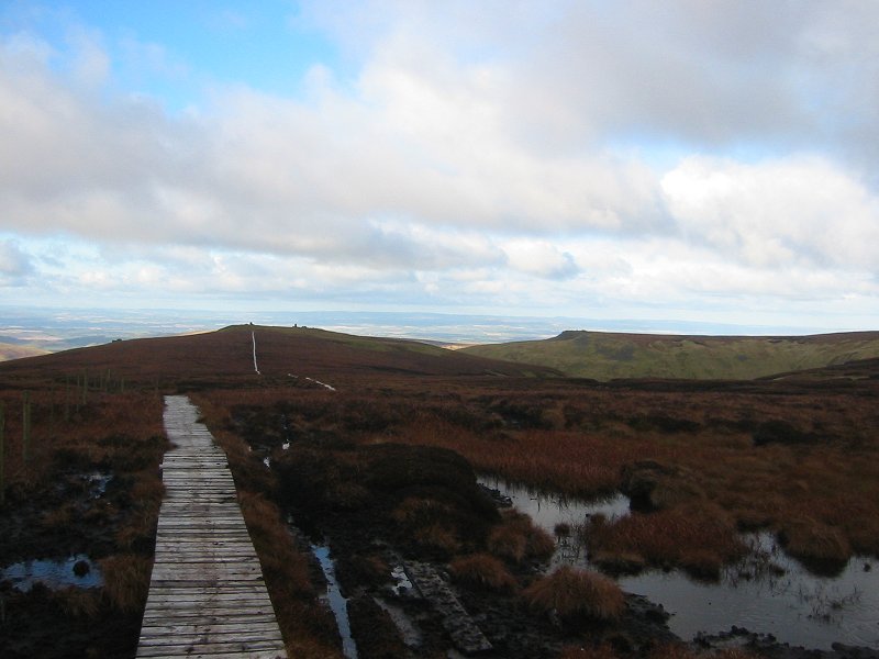
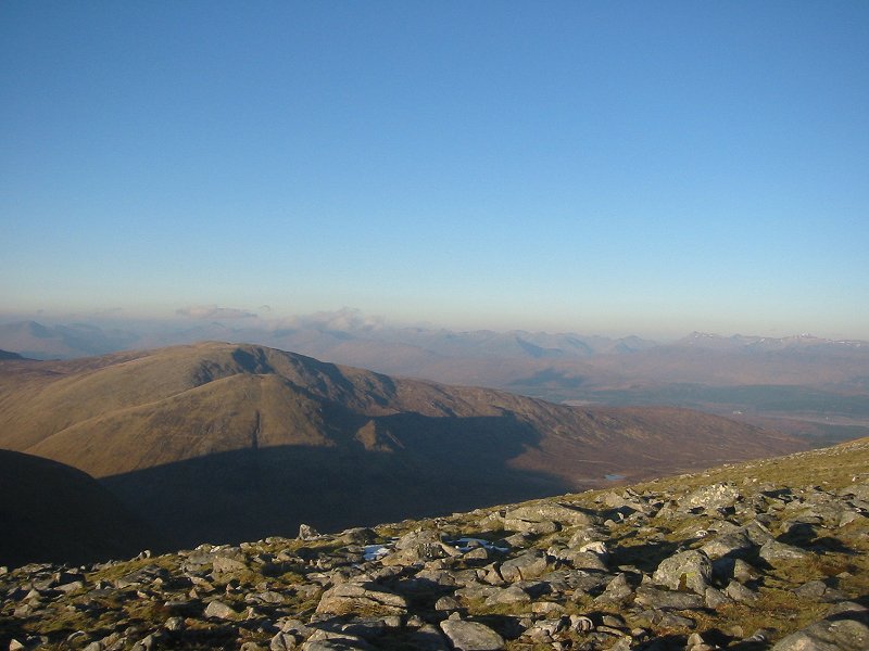
The Beinn a'Bhuird plateau looking towards the South Top
Date: 30/07/2007
GPS: N 57.08675° W 3.49990°
Altitude: 1197m

Google Maps Location

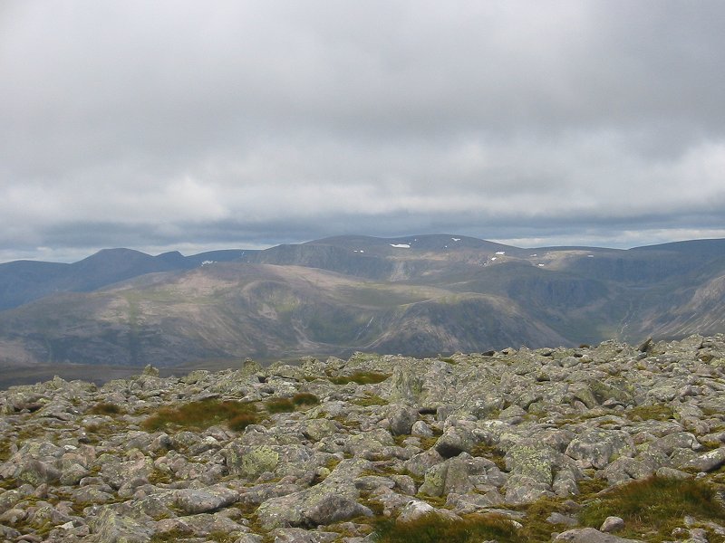
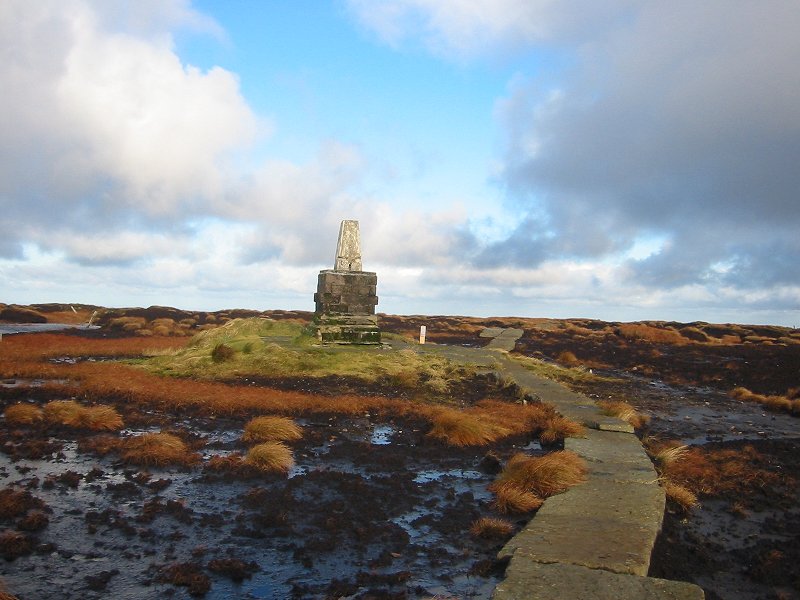
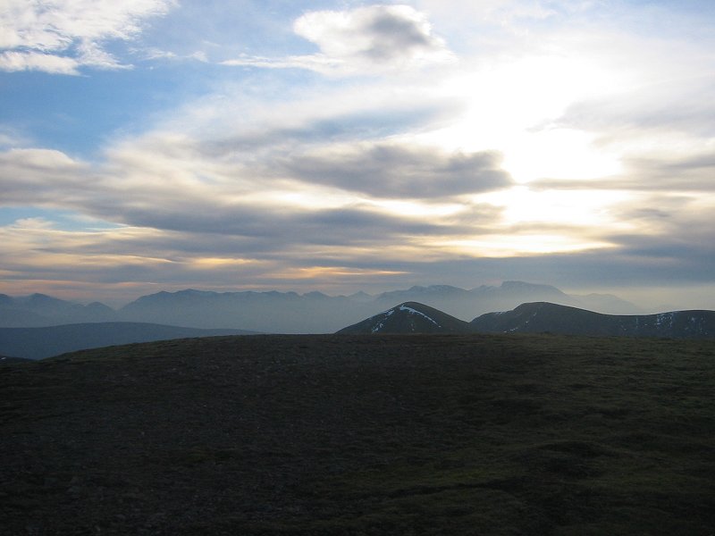
Looking towards Ben Macdui from the Beinn a'Bhuird plateau
Date: 30/07/2007
GPS: N 57.06314° W 3.50170°
Altitude: 1178m

Google Maps Location

The Cheviot

Hen Hole from the west
Date: 11/11/2007
GPS: N 55.47488° W 2.19966°
Altitude: 489m

Google Maps Location

The summit plateau of The Cheviot
Date: 11/11/2007
GPS: N 55.47227° W 2.17423°
Altitude: 729m

Google Maps Location

Looking north-west towards Auchope Cairn
Date: 11/11/2007
GPS: N 55.46807° W 2.16628°
Altitude: 744m

Google Maps Location

The summit of The Cheviot
Date: 11/11/2007
GPS: N 55.47844° W 2.14545°
Altitude: 815m

Google Maps Location

Glen Etive and Glen Coe

Looking from the Allt Mheuran up Glen Etive towards Buachaille Etive Beag
Date: 11/12/2007
GPS: N 56.56761° W 5.03335°
Altitude: 45m

Google Maps Location

Glas Bheinn Mhor from the Allt Mheuran
Date: 11/12/2007
GPS: N 56.56967° W 5.03655°
Altitude: 17m

Google Maps Location

Buachaille Etive Beag and Buachaille Etive Mor from Glen Etive
Date: 11/12/2007


Buachaille Etive Mor from the Glen Coe road
Date: 11/12/2007


Trip 21: Meall na Teanga and Sron a'Choire Ghairbh

Looking west from the Cam Bhealach towards Gleann Tarsuinn
Date: 20/12/2007
GPS: N 57.00001° W 4.92739°
Altitude: 615m

Google Maps Location

Looking towards the South Glen Shiel ridge from the col between Meall na Teanga and Meall Dubh
Date: 20/12/2007
GPS: N 56.99516° W 4.92811°
Altitude: 714m

Google Maps Location

Sron a'Choire Ghairbh from the col between Meall na Teanga and Meall Dubh
Date: 20/12/2007
GPS: N 56.99516° W 4.92811°
Altitude: 714m

Google Maps Location

Looking towards the summits of Knoydart and Glen Shiel from the summit of Meall na Teanga
Date: 20/12/2007
GPS: N 56.98849° W 4.93091°
Altitude: 917m

Google Maps Location

Looking from the summit of Sron a'Choire towards Ben Tee and the Great Glen
Date: 20/12/2007
GPS: N 57.00784° W 4.92878°
Altitude: 935m

Google Maps Location

Looking from the summit of Sron a'Choire towards Meall na Teanga and Ben Nevis
Date: 20/12/2007
GPS: N 57.00784° W 4.92878°
Altitude: 935m

Google Maps Location