 Back to Home Page
3505m Mount Kitchener, Dome Glacier and the Columbia Icefield Chalet at dawn
Date: 02/07/2007
GPS: N 52.22125° W 117.22089°
Altitude: 2007m
Google Maps Location
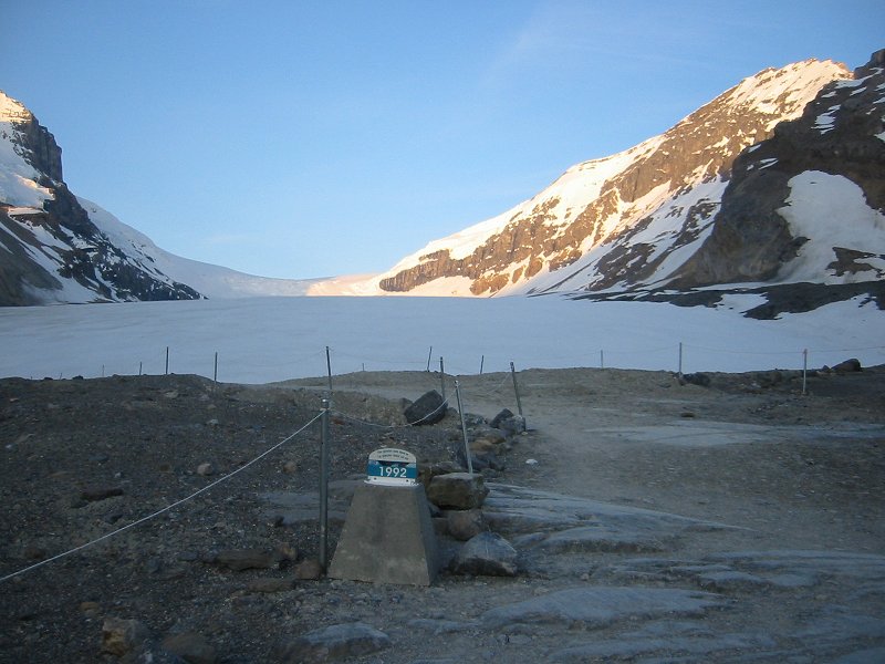
The toe of the Athabasca Glacier at dawn; 1992 glacier extent marker
Date: 02/07/2007
GPS: N 52.20757° W 117.23441°
Altitude: 1984m
Google Maps Location
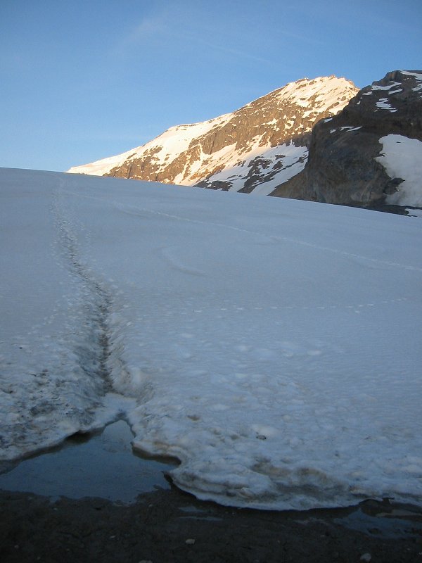
The toe of the Athabasca Glacier at dawn
Date: 02/07/2007
GPS: N 52.20757° W 117.23441°
Altitude: 1984m
Google Maps Location

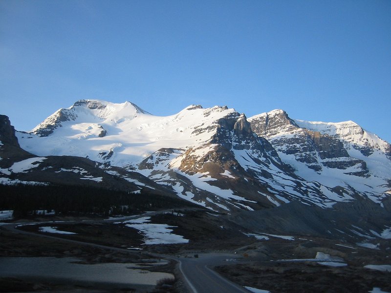
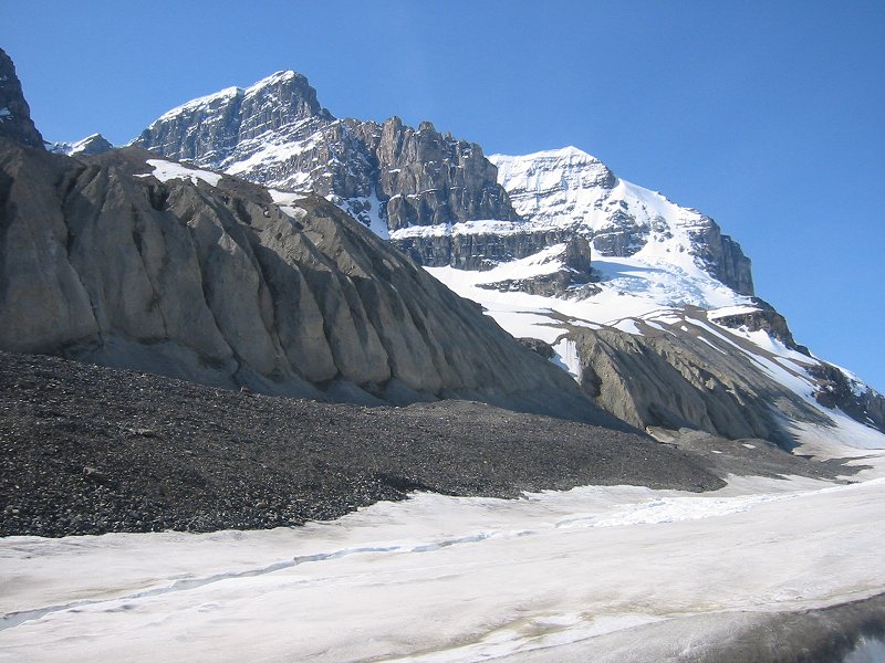
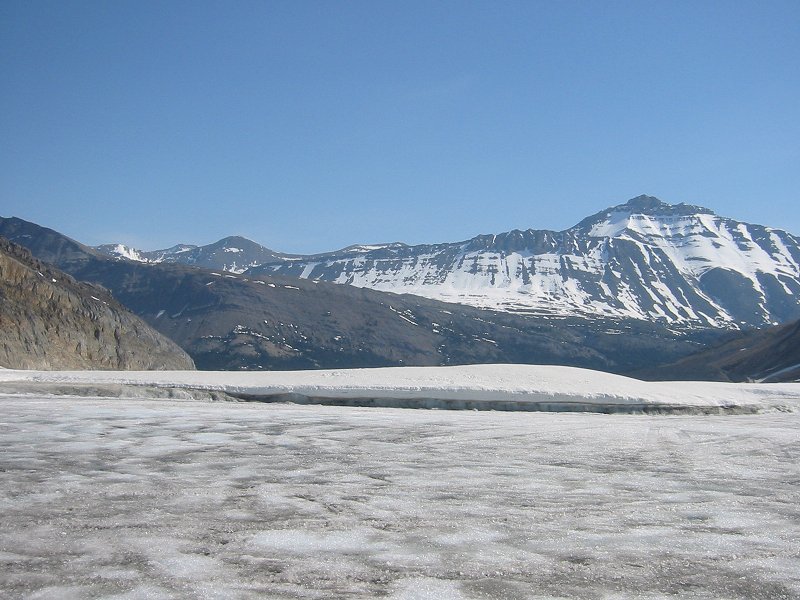
3450m Mount Andromeda and the Athabasca Glacier at dawn
Date: 02/07/2007
GPS: N 52.20757° W 117.23441°
Altitude: 1984m
Google Maps Location
3491m Mount Athabasca at dawn from the Columbia Icefield Chalet
The Athabasca Glacier at dawn
Mount Andromeda from a Snow Coach on Athabasca Glacier
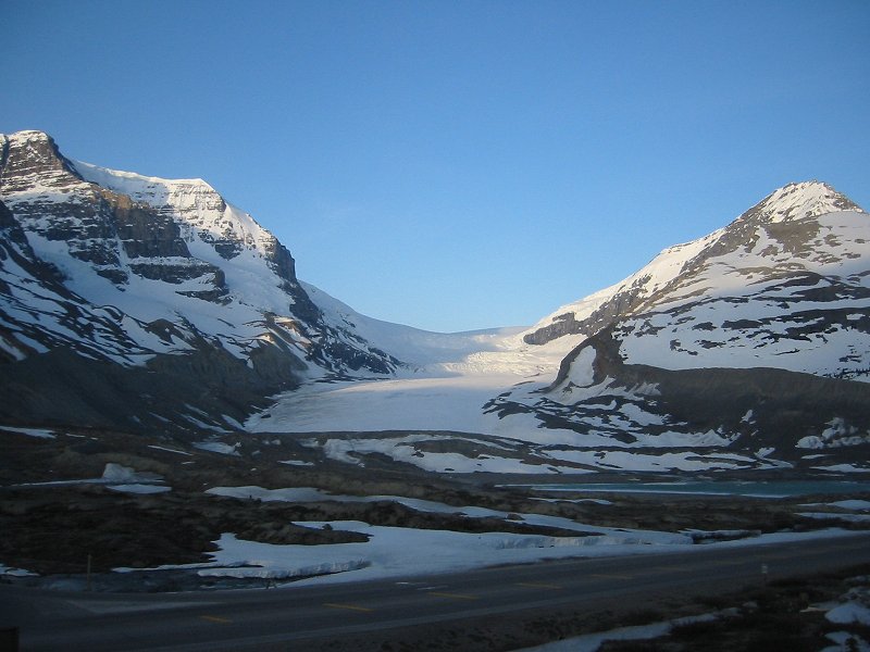
The Athabasca Glacier flowing from the Columbia Icefield
Date: 02/07/2007
GPS: N 52.19293° W 117.25206°
Altitude: 2180m
(next 16 pictures as well)
Google Maps Location
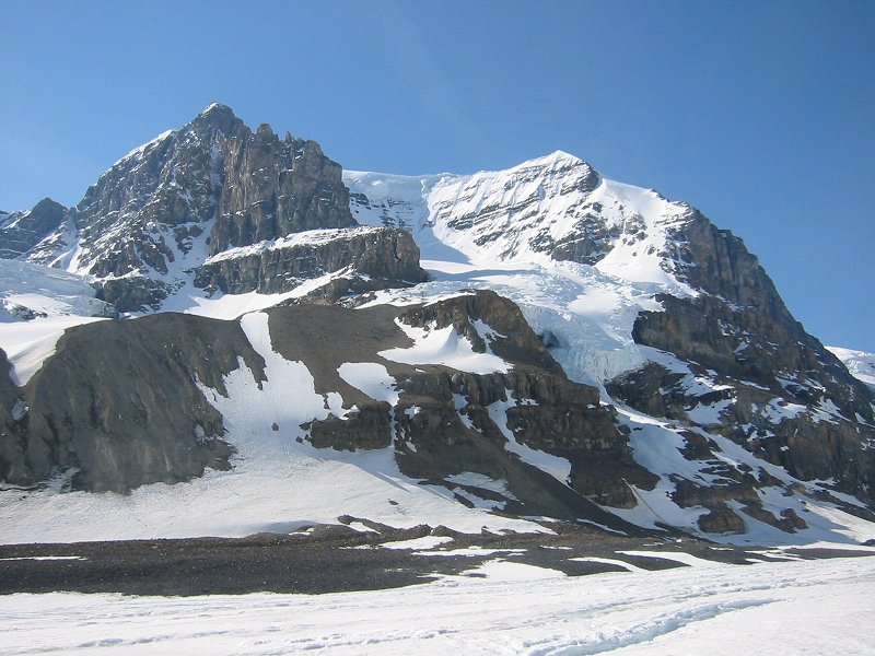
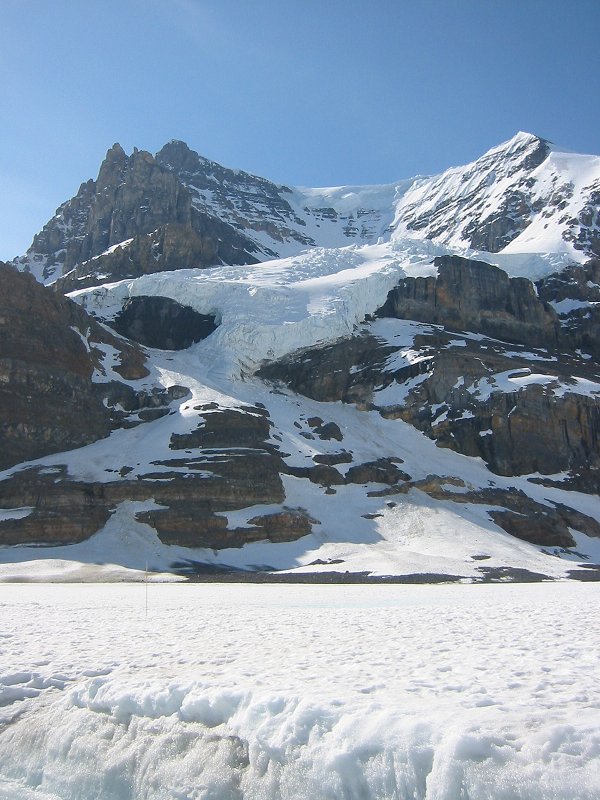
Mount Andromeda from the Athabasca Glacier
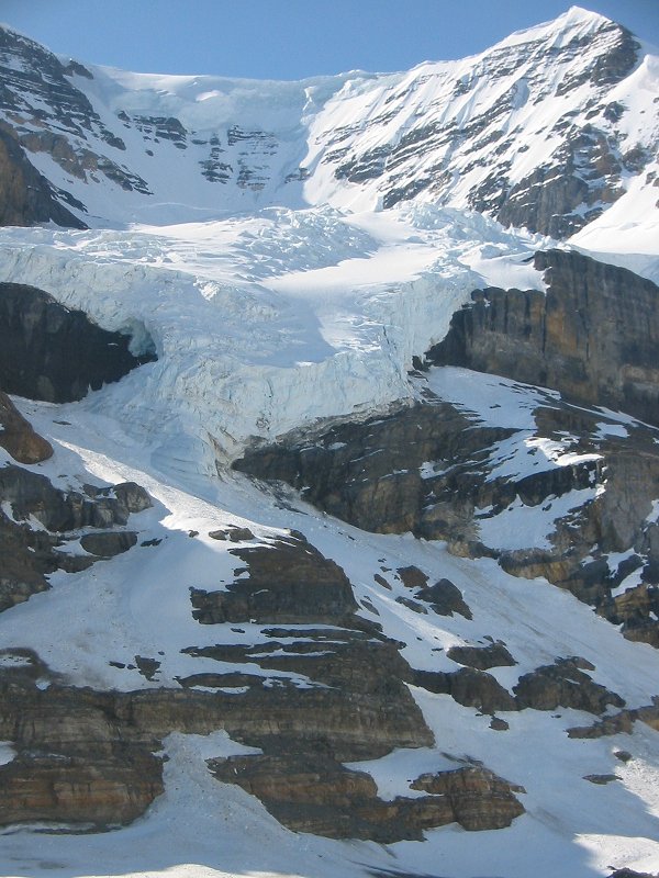
North face of Mount Andromeda with unnamed hanging glacier from the Athabasca Glacier

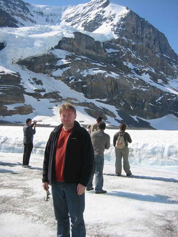
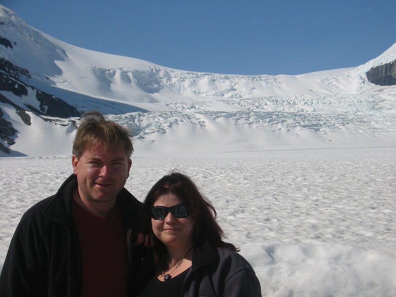
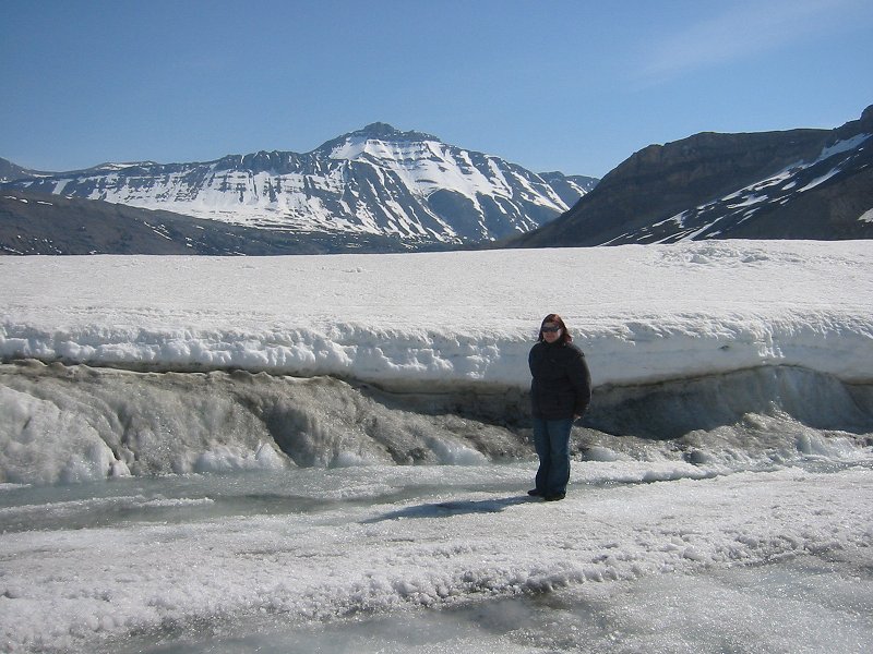
On the Athabasca Glacier
On the Athabasca Glacier looking towards some snow coaches and 3211m Nigel Peak
On the Athabasca Glacier looking towards Mount Andromeda
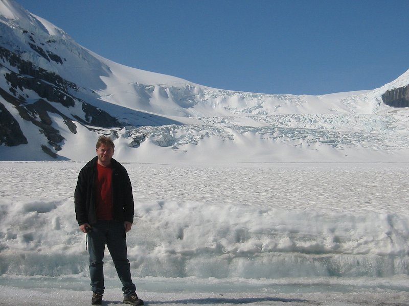
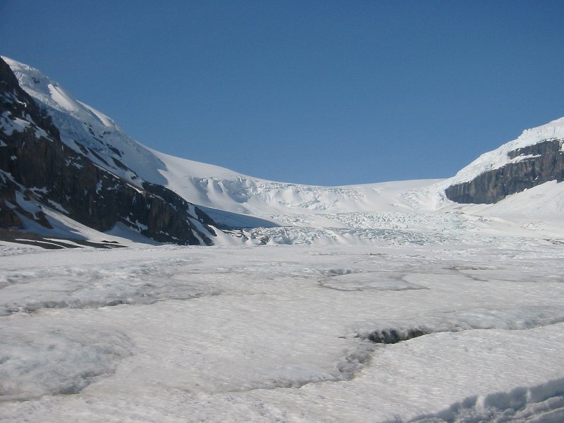
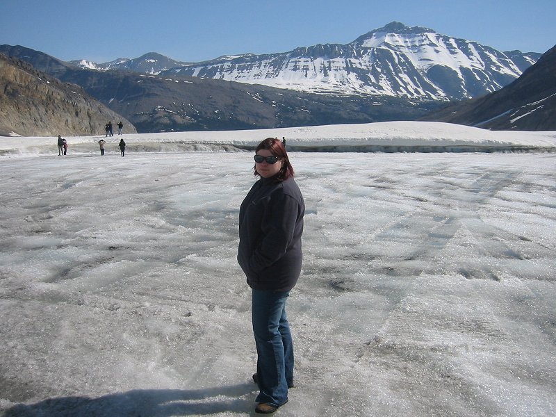
On the Athabasca Glacier looking towards the Columbia Icefield
On the Athabasca Glacier looking towards the Columbia Icefield
Nigel Peak from the Athabasca Glacier
Mount Andromeda from the Athabasca Glacier
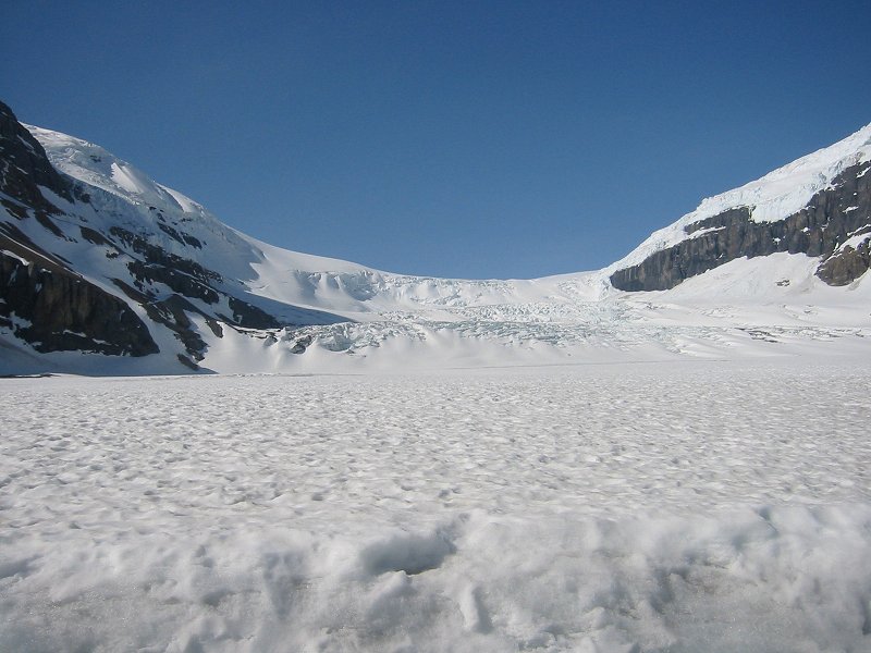
The Athabasca Glacier flowing from the Columbia Icefield
On the the Athabasca Glacier
On the Athabasca Glacier looking towards Nigel Peak
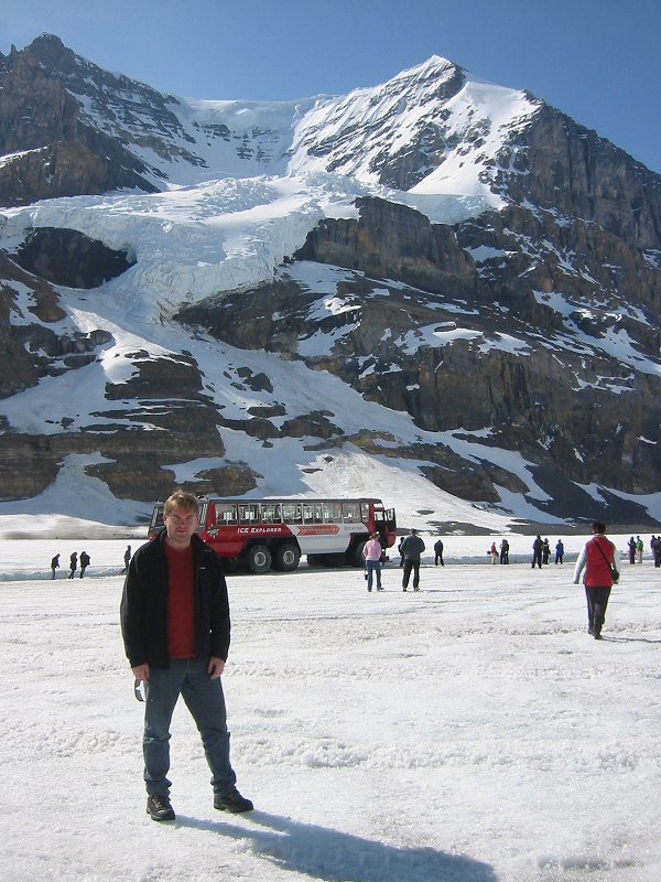
Mount Andromeda and snow coaches from the Athabasca Glacier
On the Athabasca Glacier looking towards Mount Andromeda
On the Athabasca Glacier looking towards Nigel Peak
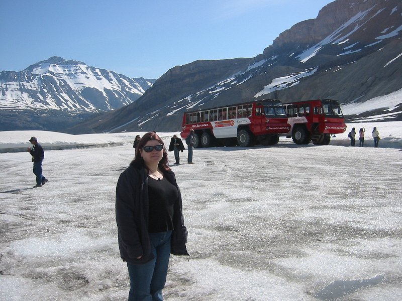
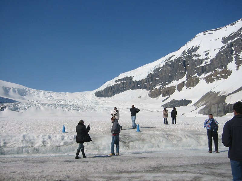
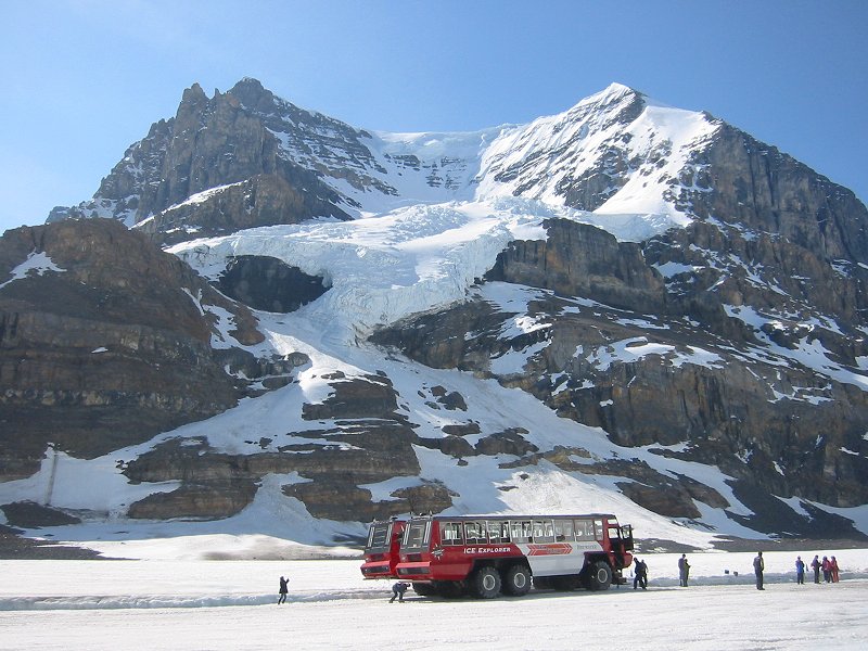
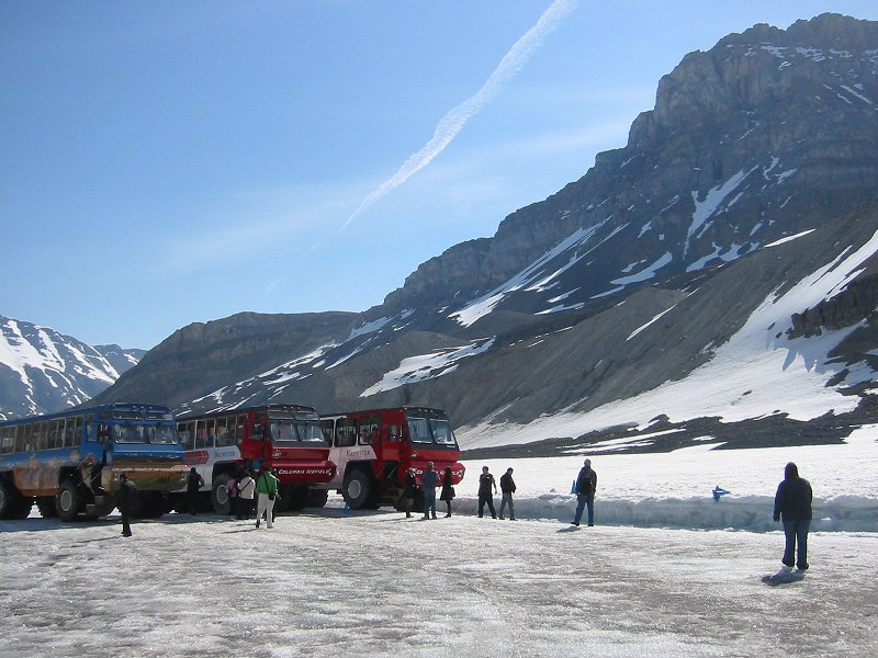 Snow coaches on the Athabasca Glacier
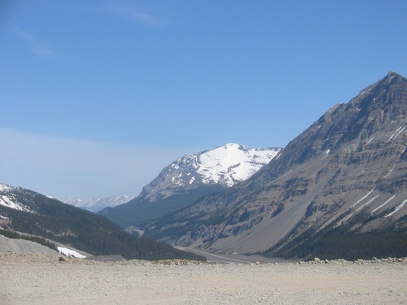
3001m Tangle Ridge and 2884m Mount Wilcox from the Athabasca Glacier

Looking back to the Athabasca Glacier
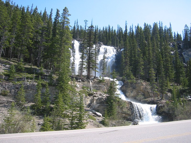
Tangle Creek Falls
Date: 02/07/2007
GPS: N 52.26712° W 117.28750°
Altitude: 1832m
Google Maps Location

In front of Tangle Creek Falls
Date: 02/07/2007
GPS: N 52.26712° W 117.28750°
Altitude: 1832m
Google Maps Location
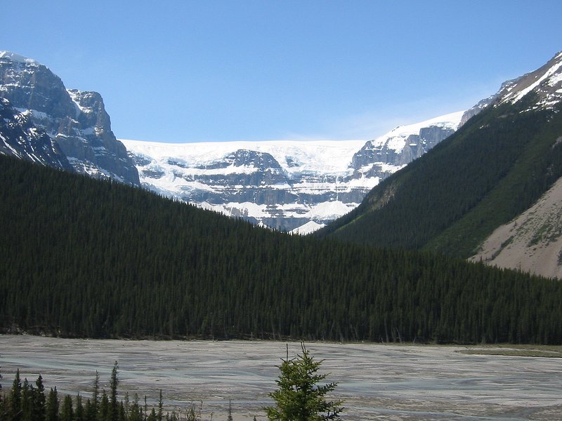
Sunwapta River and the Stutfield Glacier
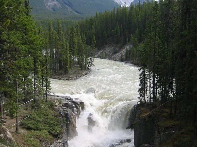
Sunwapta Falls
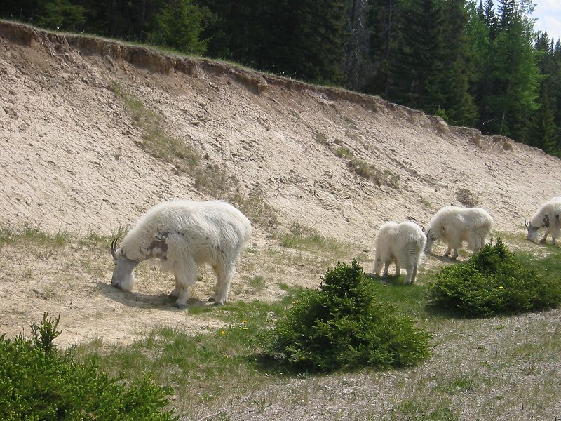
Mountain Goats near Jasper
Pyramid Lake Island