Back to Home Page

Mar 07 - Apr 07 photos
See my Trips section for GPS data and a Google Maps display of the trip that these photos were taken on.

Trip 15: Beinn Dearg (Atholl)

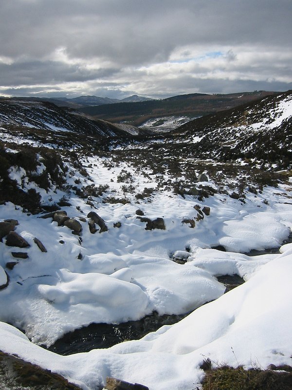
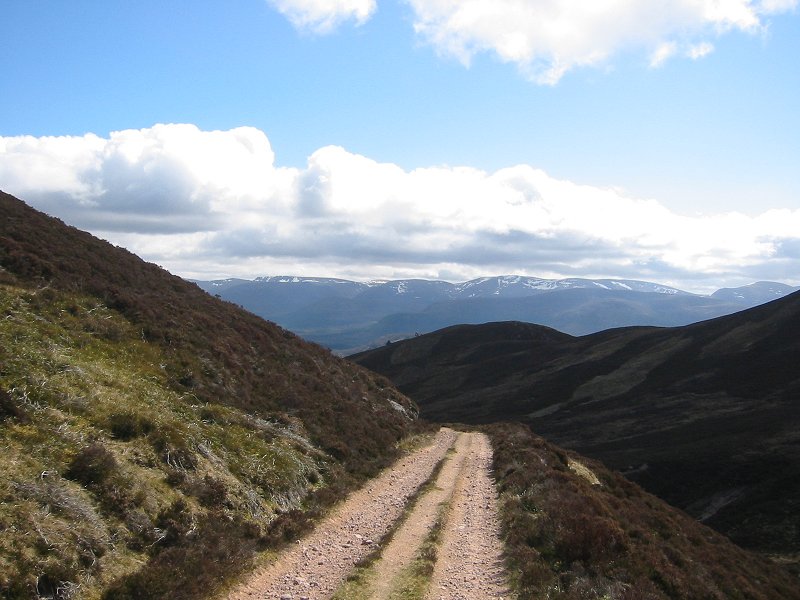
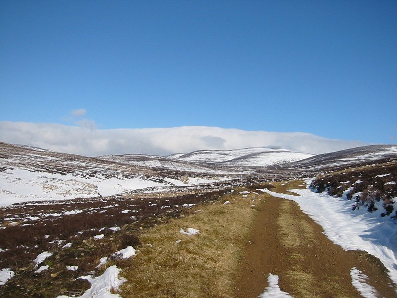
The Allt na Moine Baine
Date: 22/03/2007

Beinn Dearg from the South
Date: 22/03/2007
GPS: N 56.81776° W 3.89574°
Altitude: 477m

Google Maps Location

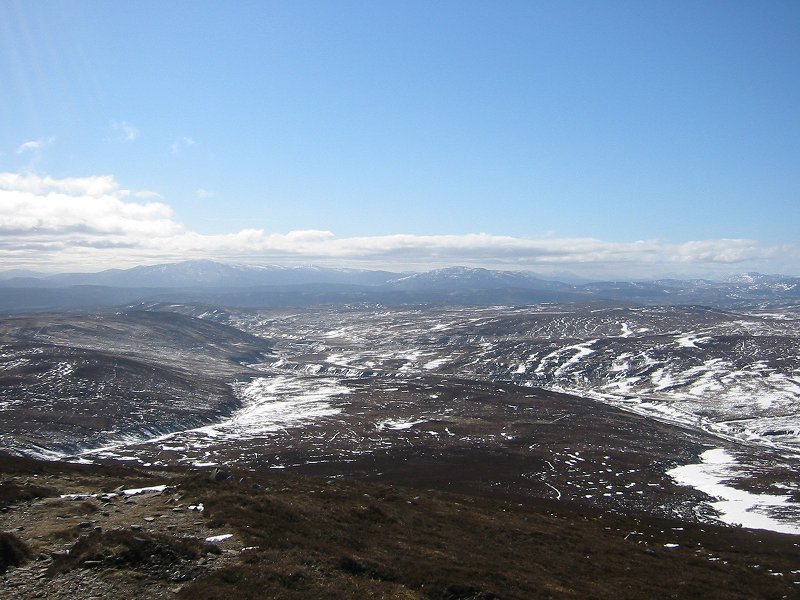
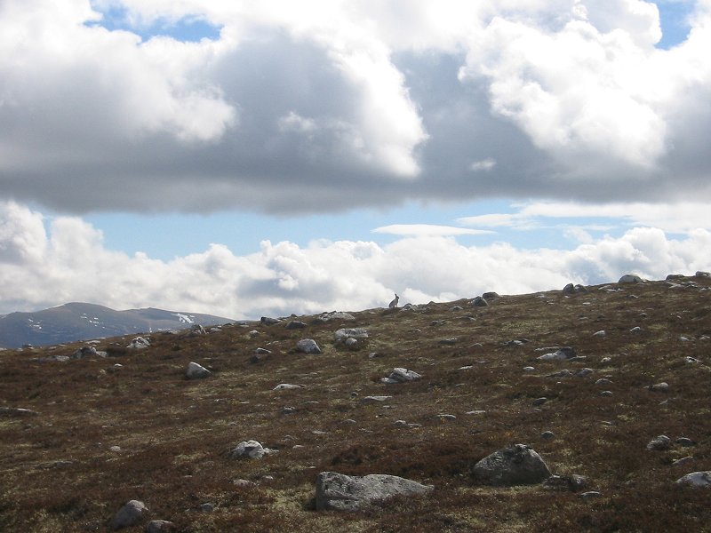
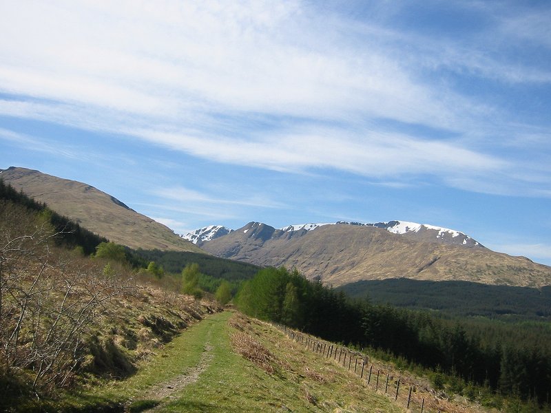
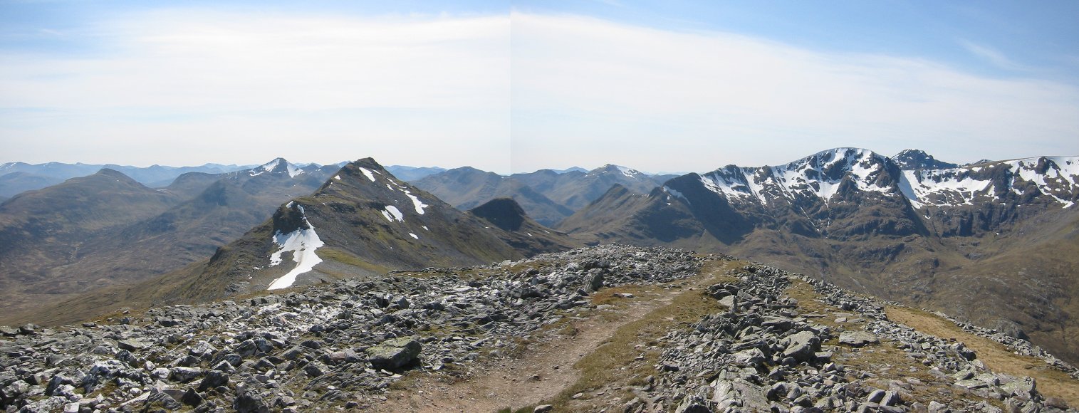
Looking South-West from near the summit of Beinn Dearg towards Schiehallion
Date: 22/03/2007
GPS: N 56.85628° W 3.89159°
Altitude: 749m

Google Maps Location

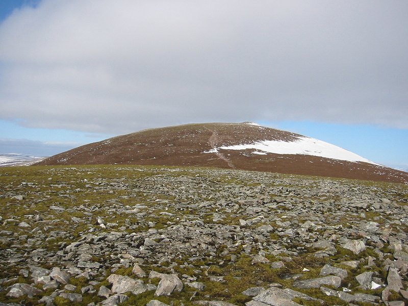
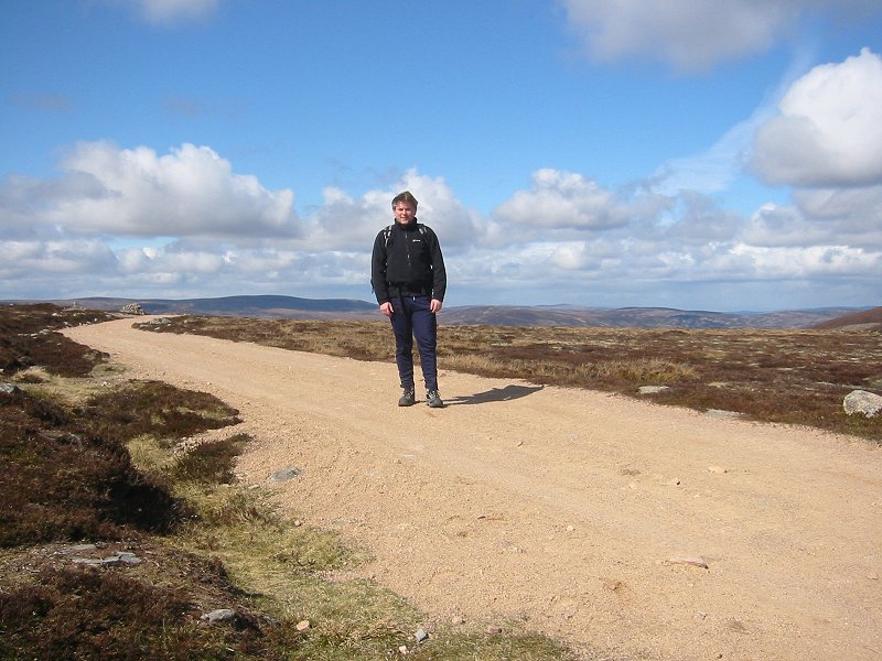
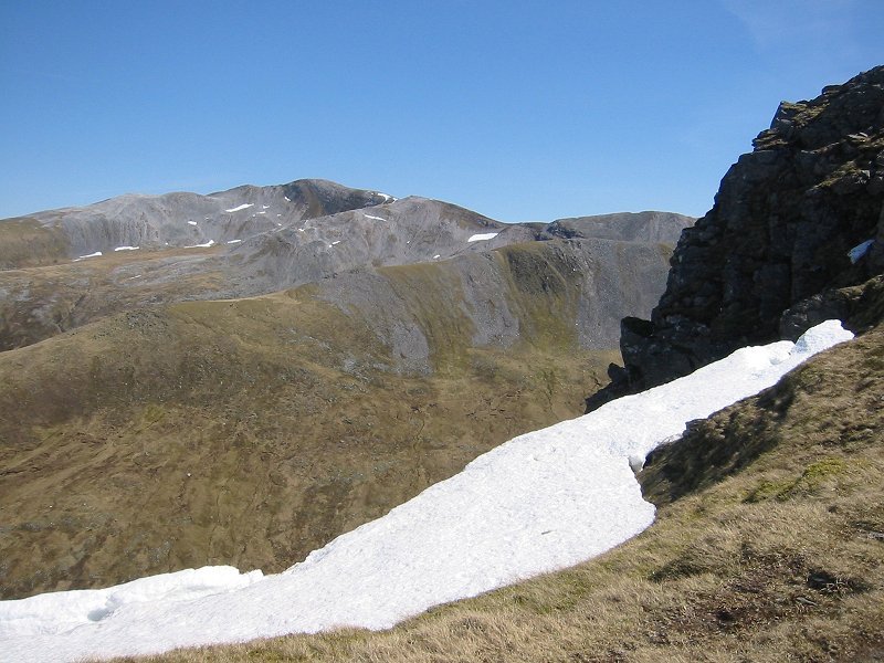
The summit of Beinn Dearg
Date: 22/03/2007
GPS: N 56.87051° W 3.88939°
Altitude: 934m

Google Maps Location

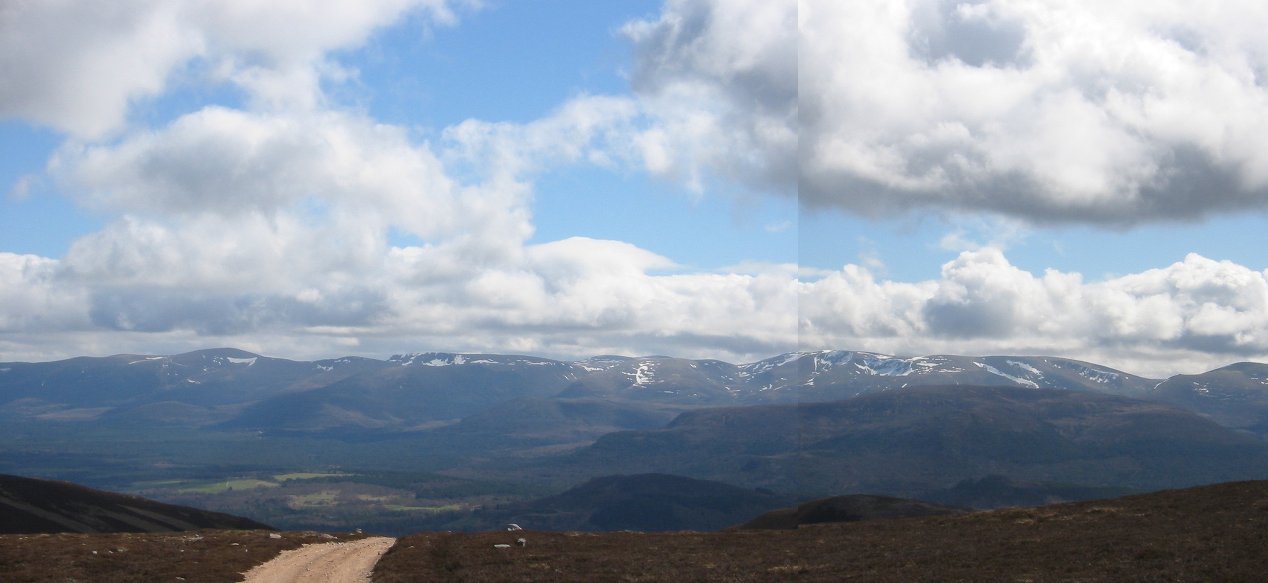
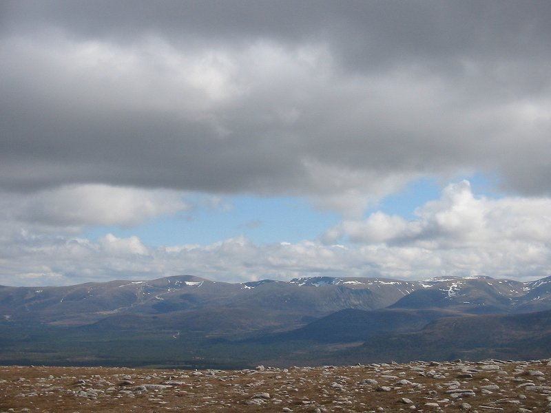
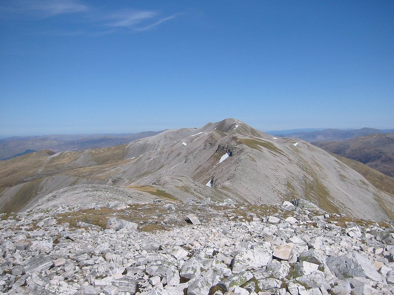
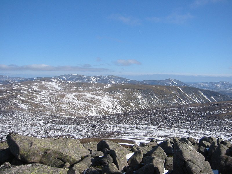
Looking North from the summit of Beinn Dearg towards the Cairngorms
Date: 22/03/2007
GPS: N 56.87720° W 3.88376°
Altitude: 1008m

Google Maps Location

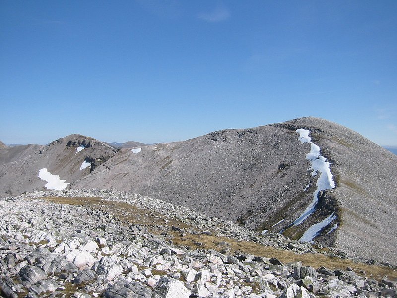
Looking South-East from the summit of Beinn Dearg towards Beinn a'Ghlo
Date: 22/03/2007
GPS: N 56.87720° W 3.88376°
Altitude: 1008m

Google Maps Location

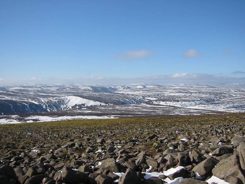
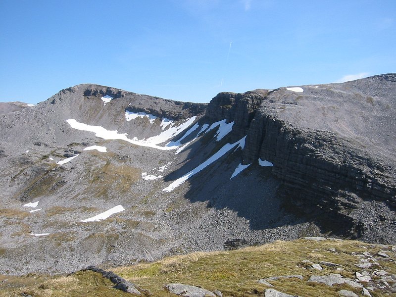
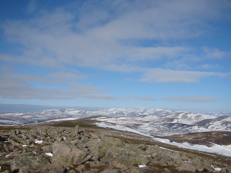
The Gaick plateau from the summit of Beinn Dearg
Date: 22/03/2007
GPS: N 56.87720° W 3.88376°
Altitude: 1008m

Google Maps Location

Geal-charn Mor

The 4x4 track (the 'Burma Road' path) up An Gleannan looking towards Braeriach
Date: 16/04/2007
GPS: N 57.18497° W 3.89046°
Altitude: 513m

Google Maps Location

Looking south-east to the Cairngorm range
Date: 16/04/2007
GPS: N 57.19238° W 3.90946°
Altitude: 694m

Google Maps Location

On the 4x4 track
Date: 16/04/2007
GPS: N 57.19238° W 3.90946°
Altitude: 694m

Google Maps Location

Mountain Hare on Geal-charn Mor
Date: 16/04/2007

The Cairngorm range from the summit of Geal-charn Mor
Date: 16/04/2007
GPS: N 57.18691° W 3.92690°
Altitude: 824m

Google Maps Location

Trip 16: Stob Coire an Laoigh

Looking along the dismantled tramway route towards Aonach Mor
Date: 29/04/2007
GPS: N 56.85823° W 4.88086°
Altitude: 207m

Google Maps Location

Stob Choire Claurigh and the Grey Corries from Beinn na Socaich
Date: 29/04/2007
GPS: N 56.82274° W 4.89377°
Altitude: 941m

Google Maps Location

Caisteil from Beinn na Socaich
Date: 29/04/2007
GPS: N 56.81663° W 4.89086°
Altitude: 1003m

Google Maps Location

The Mamore range, Sgurr Choinnich Mor, Aonach Mor and Ben Nevis from Stob Coire Easain
Date: 29/04/2007
GPS: N 56.81255° W 4.89334°
Altitude: 1080m

Google Maps Location

Stob Coire an Laoigh from Stob Coire Easain
Date: 29/04/2007
GPS: N 56.81255° W 4.89334°
Altitude: 1080m

Google Maps Location

Stob Choire Claurigh from Stob Coire an Laoigh
Date: 29/04/2007
GPS: N 56.81090° W 4.88491°
Altitude: 1116m

Google Maps Location