 Back to Home Page
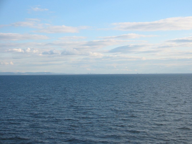
Redcar and Tees Bay from north sea ferry
Date: 07/07/2006
GPS: N 54° 50.022 W 0° 53.122
Altitude: 16m
Google Maps Location
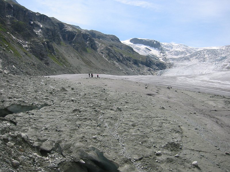
Glacière de Ferpècle
Date: 09/07/2006
GPS: N 46° 02.476 E 7° 33.952
Altitude: 2185m
Google Maps Location
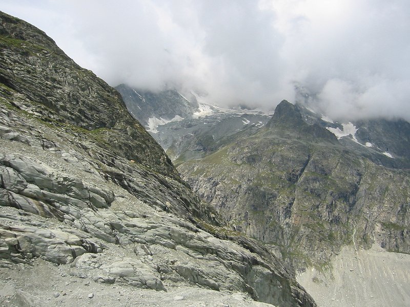
Glacière de Montay from Glacière de Ferpècle
Date: 09/07/2006
GPS: N 46° 02.476 E 7° 33.952
Altitude: 2185m
Google Maps Location
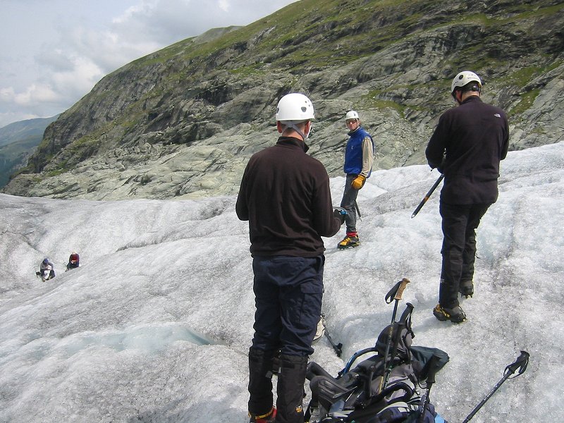
Learning crampon technique on the Glacière de Ferpècle
Date: 09/07/2006

Val d'Hérens from the Glacière de Ferpècle
Date: 09/07/2006
GPS: N 46° 02.170 E 7° 34.039
Altitude: 2265m
Google Maps Location
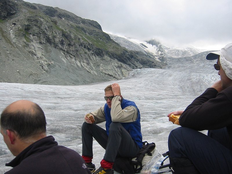
Lunch on the Glacière de Ferpècle
Date: 09/07/2006
GPS: N 46° 02.170 E 7° 34.039
Altitude: 2265m
Google Maps Location