Back to Home Page

Sep 06 - Dec 06 photos
See my Trips section for GPS data and a Google Maps display of the trip that these photos were taken on.

Trip 11: Beinn a'Chlachair

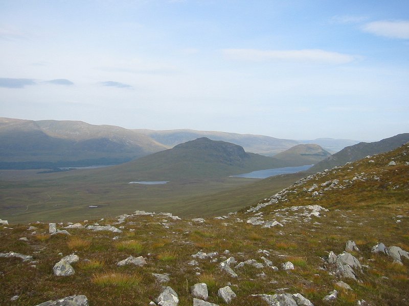
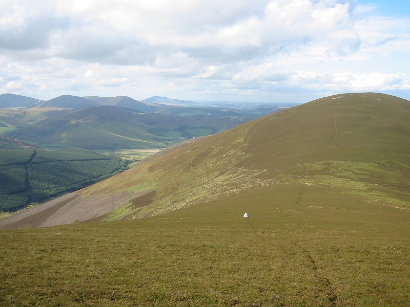
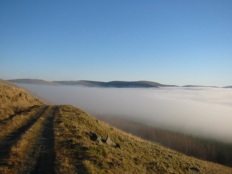
Binnein Shuas and Lochan na h-Earba from the west ridge of Beinn a'Chlachair
Date: 10/09/2006
GPS: N 56.860096° W 4.539726°
Altitude: 739m

Google Maps Location

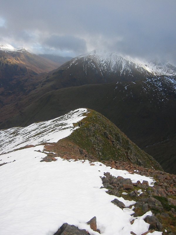
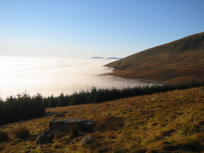
Creag Pitridh and Geal Charn from the summit of Beinn a'Chlachair
Date: 10/09/2006
GPS: N 56.86956° W 4.50971°
Altitude: 1087m

Google Maps Location

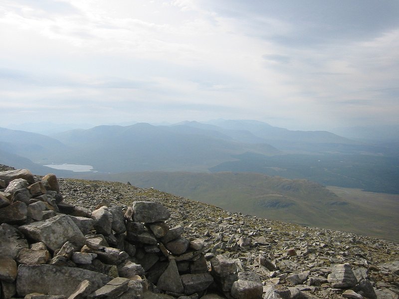
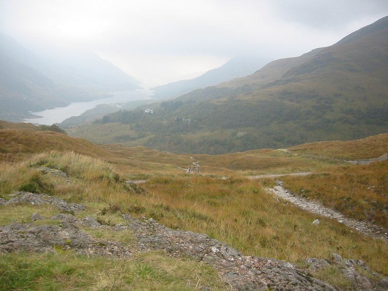
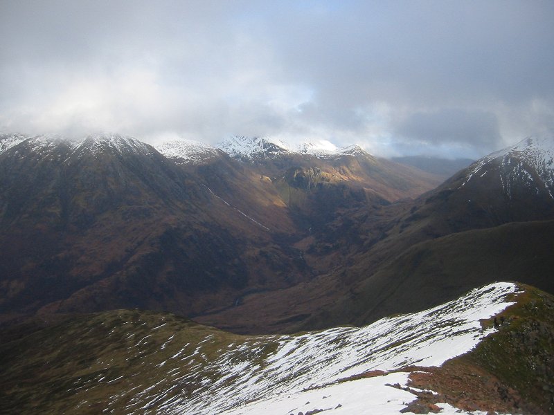
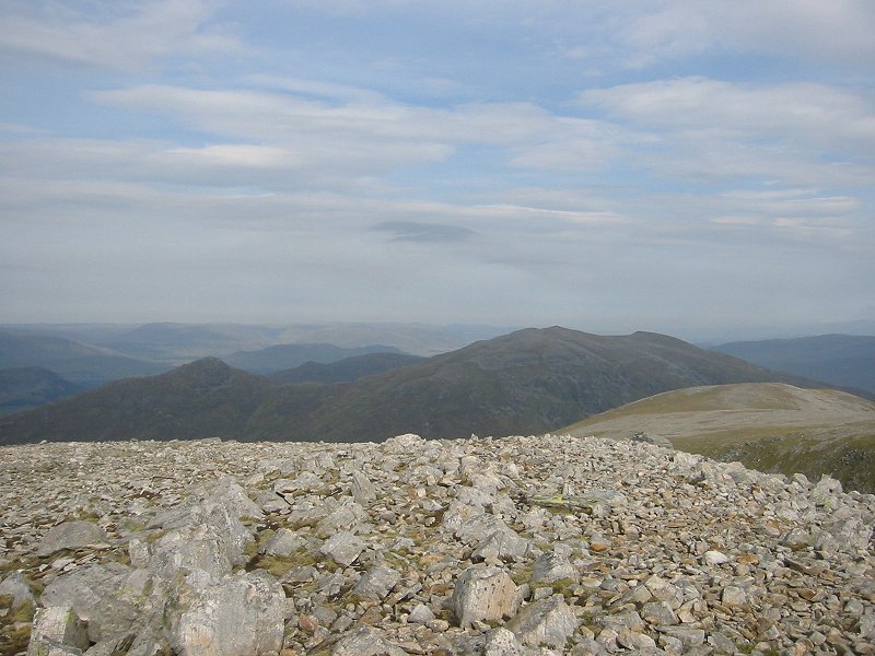
Looking west from the summit of Beinn a'Chlachair
Date: 10/09/2006
GPS: N 56.86956° W 4.50971°
Altitude: 1087m

Google Maps Location

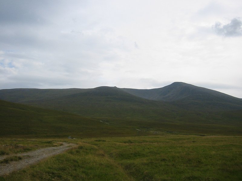
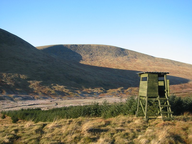
Beinn a'Chlachair from the north
Date: 10/09/2006
GPS: N 56.89554° W 4.52432°
Altitude: 357m

Google Maps Location

Pykestone Hill

Looking west to Culter Fell and Tinto from Drumelzier Law
Date: 23/09/2006

Trip 12: Sgurr Eilde Mor

Loch Leven from the path to Sgurr Eilde Mor
Date: 17/10/2006
GPS: N 56.72678° W 4.94605°
Altitude: 341m

Google Maps Location

Broughton Heights

Looking south-east from Broughton Heights
Date: 22/10/2006

Trip 13: Mullach nan Coirean

Glen Nevis and Sgurr a'Mhaim from Mullach nan Coirean
Date: 26/11/2006
GPS: N 56.75362° W 5.06698°
Altitude: 868m

Google Maps Location

Glen Nevis and Ben Nevis from Mullach nan Coirean
Date: 26/11/2006
GPS: N 56.75362° W 5.06698°
Altitude: 868m

Google Maps Location

Cairnsmore of Carsphairn

Looking east from the path to Cairnsmore of Carsphairn, near Green Hill
Date: 24/12/2006
GPS: N 55.24913° W 4.17405°
Altitude: 441m

Google Maps Location

Looking west from the path to Cairnsmore of Carsphairn, towards Meikle Millyea
Date: 24/12/2006
GPS: N 55.24788° W 4.17746°
Altitude: 453m

Google Maps Location

Cairnsmore of Carsphairn from the east
Date: 24/12/2006
GPS: N 55.25380° W 4.18373°
Altitude: 484m

Google Maps Location

On the summit of Cairnsmore of Carsphairn
Date: 24/12/2006
GPS: N 55.25601° W 4.21311°
Altitude: 797m

Google Maps Location

Looking west from the summit of Cairnsmore of Carsphairn towards Merrick and Corserine
Date: 24/12/2006
GPS: N 55.25601° W 4.21311°
Altitude: 797m

Google Maps Location

Looking south-east from the summit of Cairnsmore of Carsphairn
Date: 24/12/2006
GPS: N 55.25601° W 4.21311°
Altitude: 797m

Google Maps Location