Back to Home Page
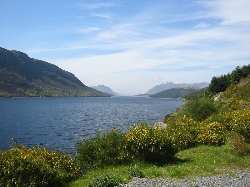
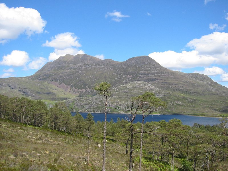
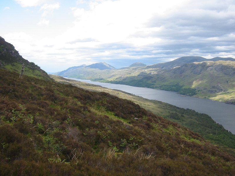
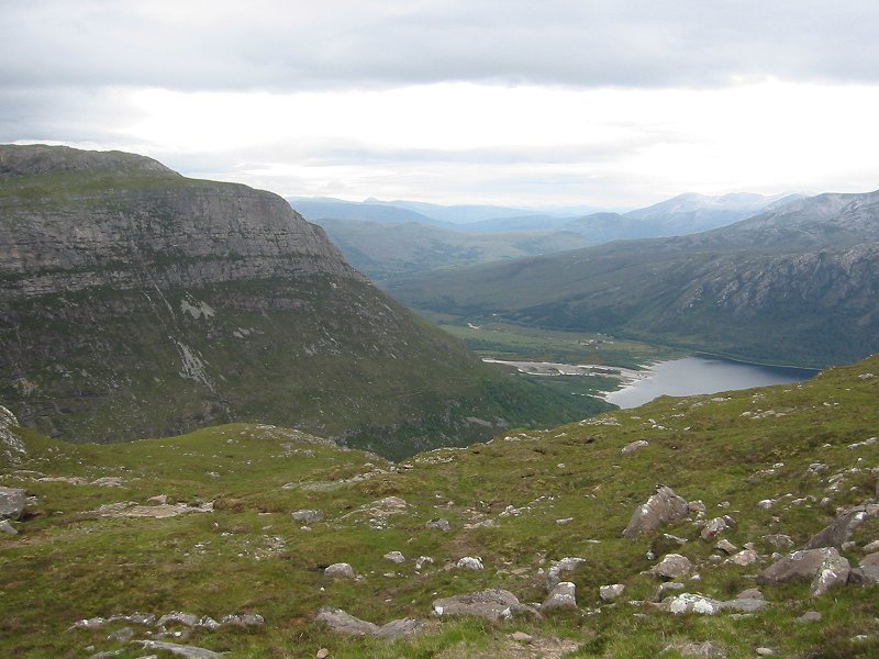
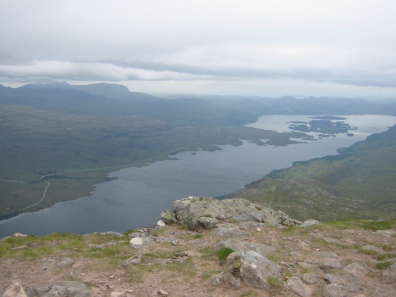
Looking down Loch Ericht towards Beinn Bheoil
Date: 06/06/2006
GPS: N 56° 53.759 W 4° 18.864
Altitude: 379m
Google Maps Location
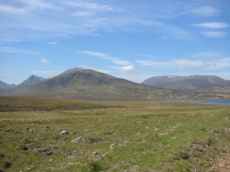
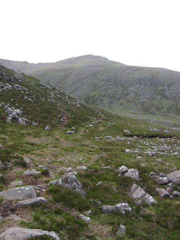
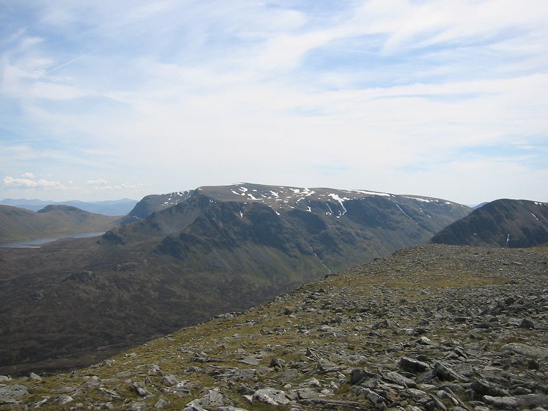
Carn Dearg, Beinn a'Clachair and Loch Pattack
Date: 06/06/2006
GPS: N 56° 52.564 W 4° 22.621
Altitude: 468m
Google Maps Location
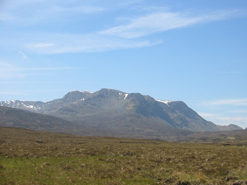
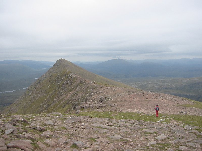
Ben Alder
Date: 06/06/2006
GPS: N 56° 51.536 W 4° 24.601
Altitude: 453m
Google Maps Location
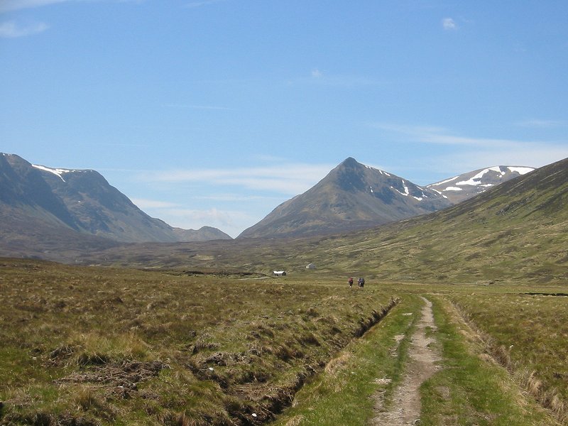
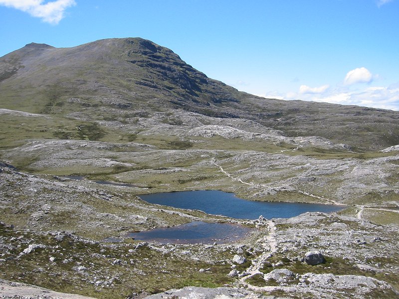
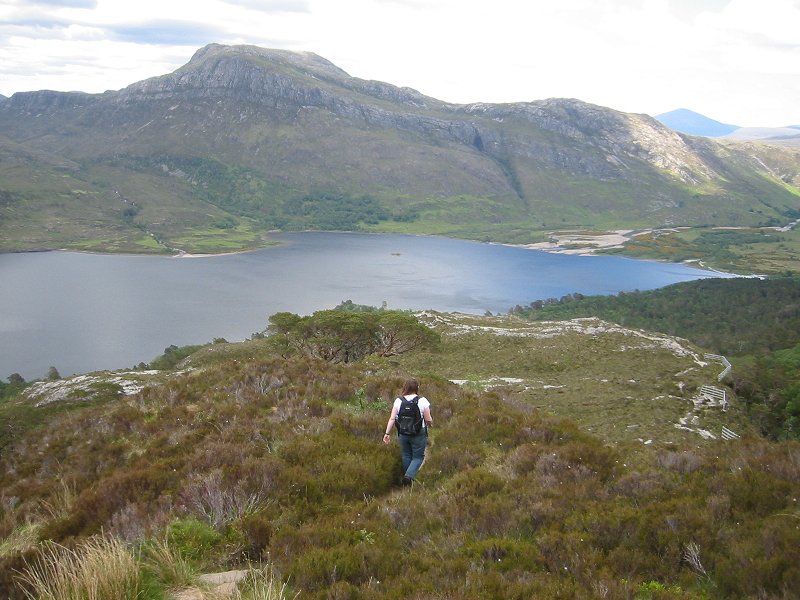
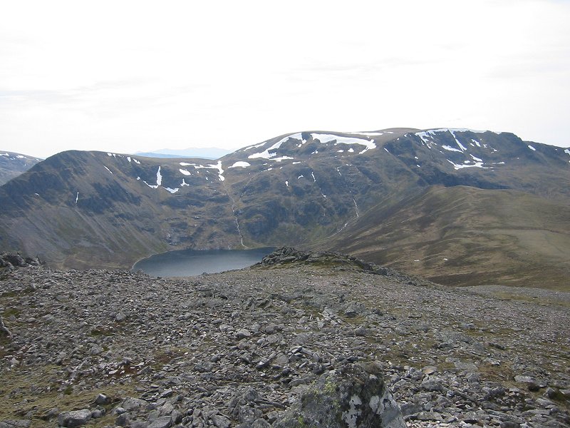
Culra Bothy and the Bealach Dubh
Date: 06/06/2006
GPS: N 56° 51.536 W 4° 24.601
Altitude: 453m
Google Maps Location
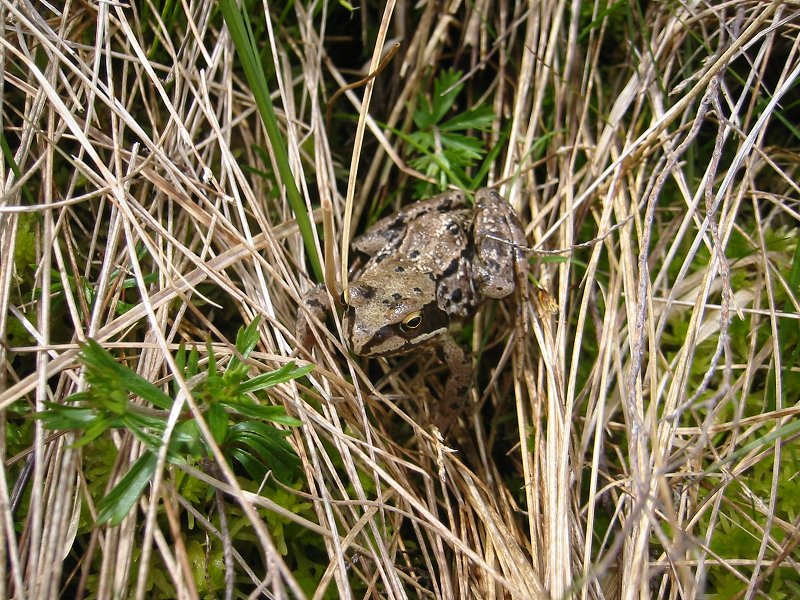
Frog on Carn Dearg
Date: 06/06/2006
GPS: N 56° 51.132 W 4° 26.257
Altitude: 620m
Google Maps Location
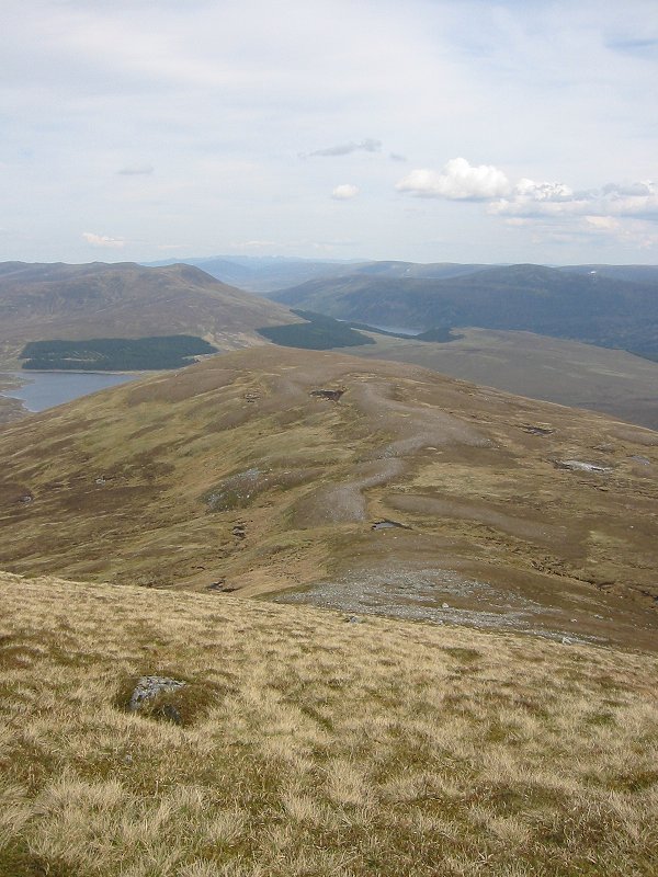
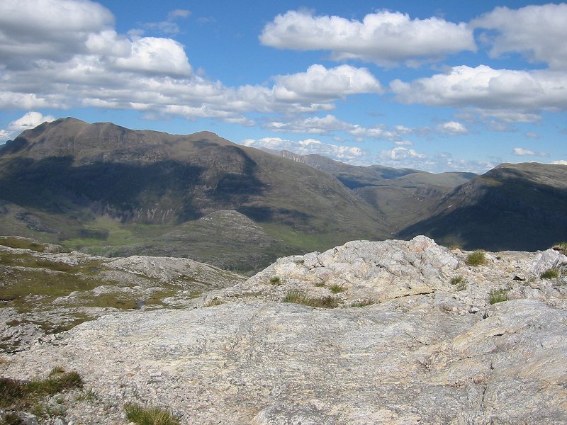
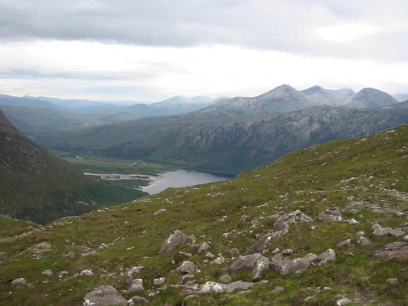
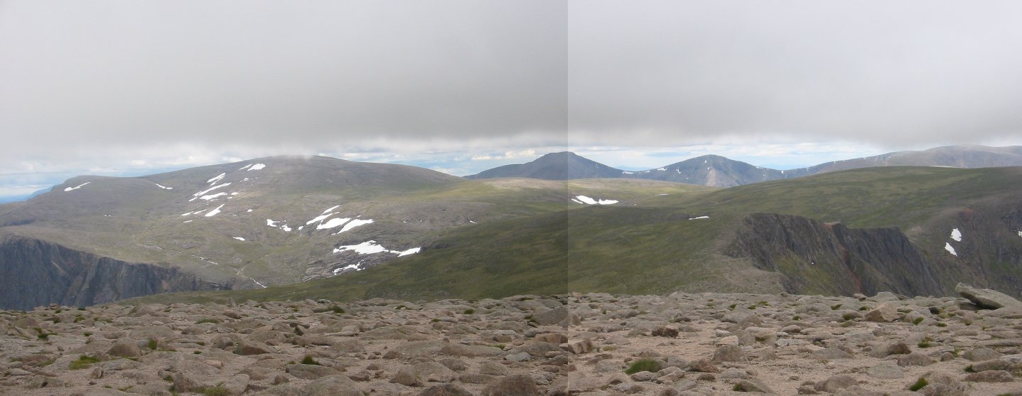
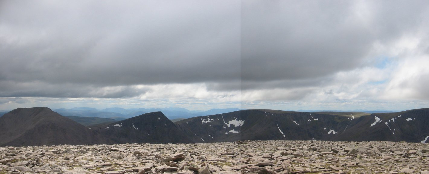
Looking east from near the summit of Carn Dearg towards Loch Ericht
Date: 06/06/2006
GPS: N 56° 51.543 W 4° 26.821
Altitude: 934m
Google Maps Location
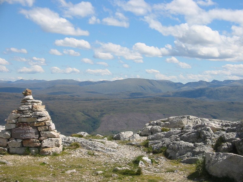
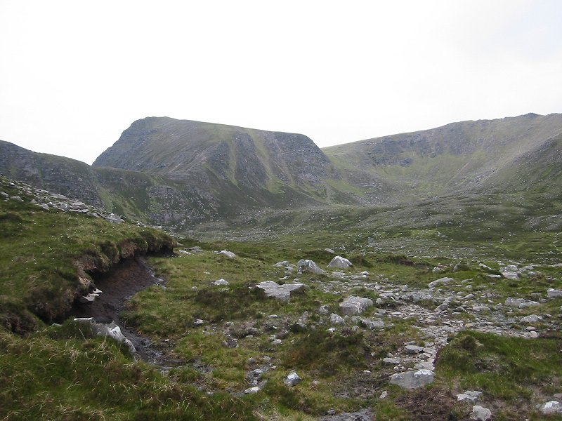
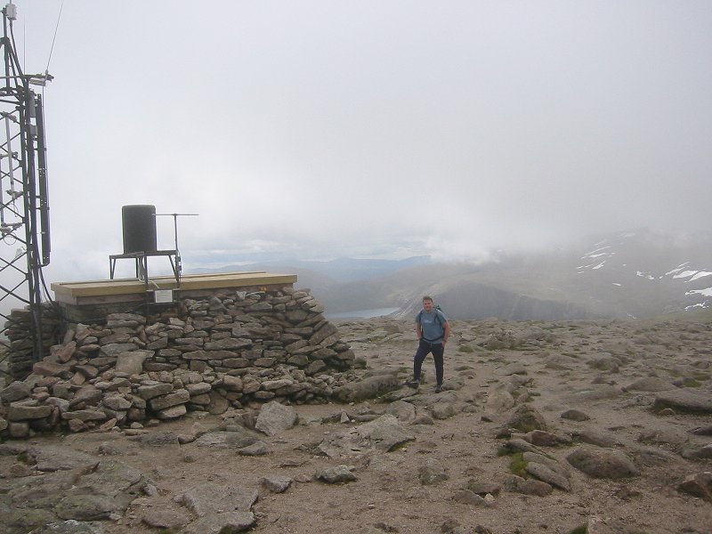
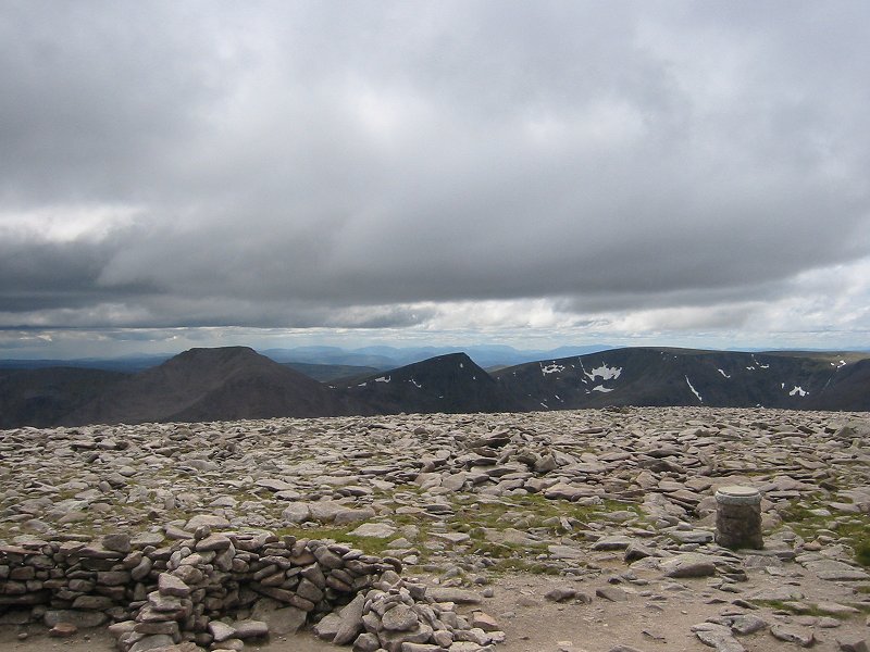
Ben Alder from the east summit of Carn Dearg
Date: 06/06/2006
GPS: N 56° 51.314 W 4° 27.281
Altitude: 1034m
Google Maps Location
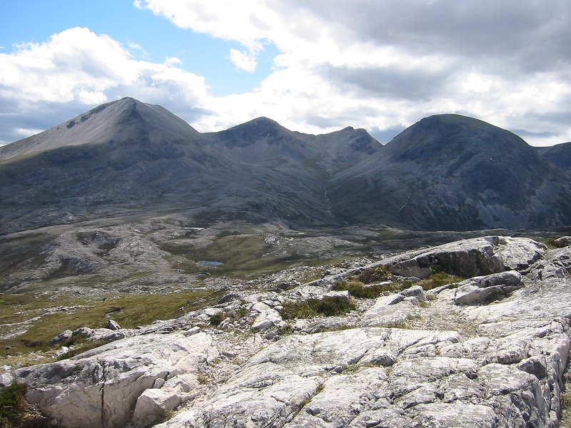
Geal-charn from the west summit of Carn Dearg
Date: 06/06/2006
GPS: N 56° 51.187 W 4° 27.520
Altitude: 1034m
Google Maps Location
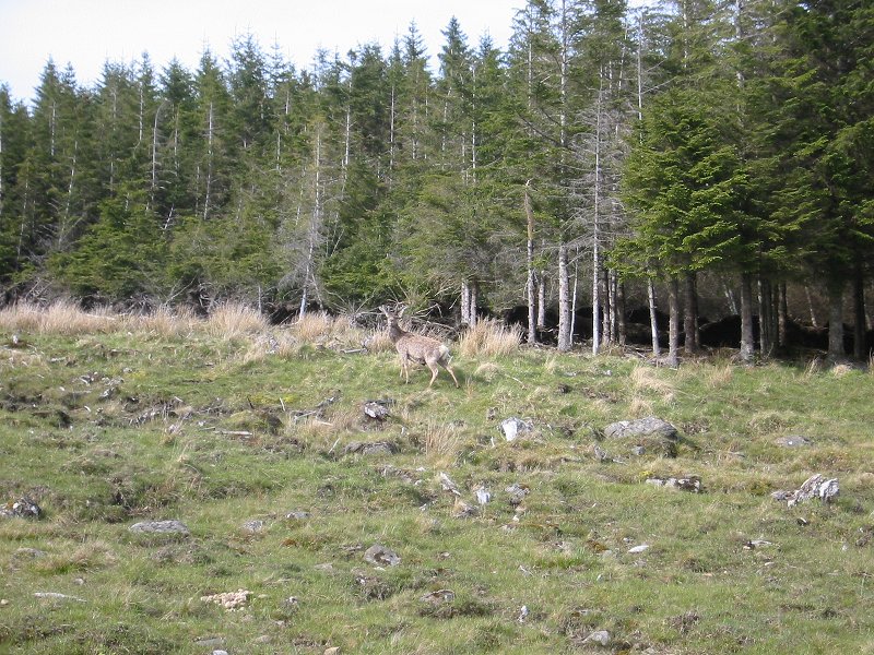
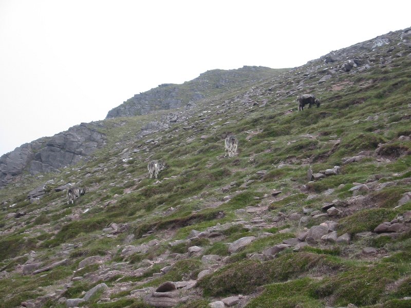
Red deer near Loch Pattack
Date: 06/06/2006
GPS: N 56° 52.499 W 4° 22.047
Altitude: 467m
Google Maps Location