Back to Home Page
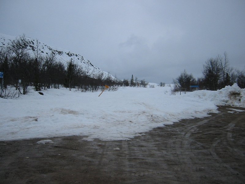
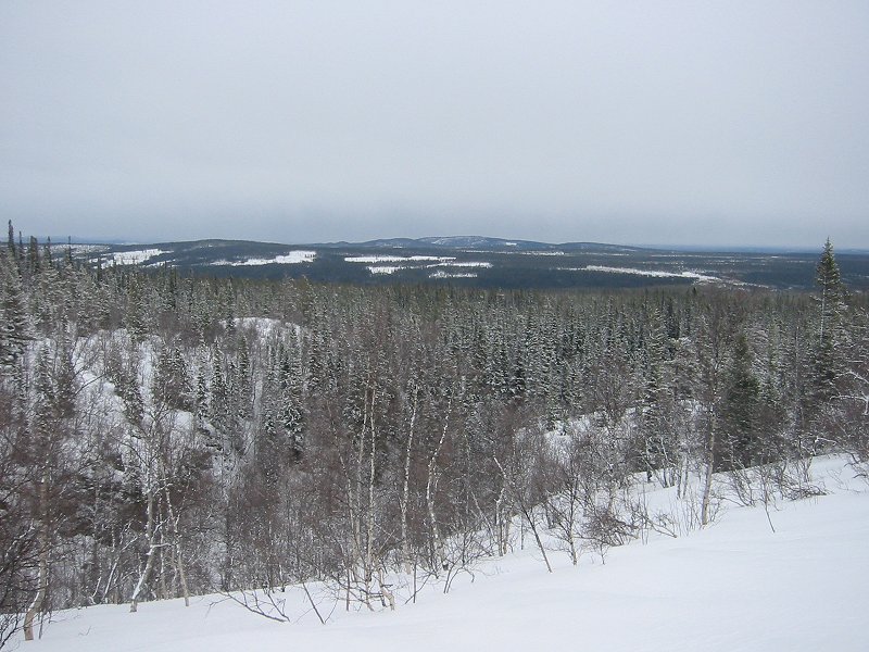
The road to 1191m Nipfjället blocked by snow
Date: 27/04/2006
GPS: N 61° 56.616 E 12° 49.337
Altitude: 859m
Google Maps Location
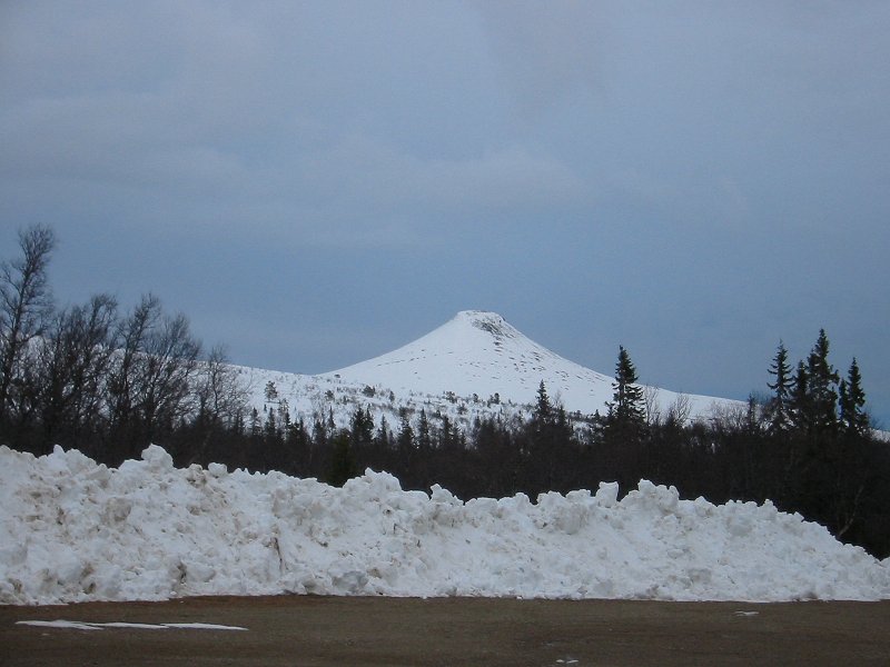
1131m Städjan from the Nipfjället road
Date: 27/04/2006
GPS: N 61° 56.616 E 12° 49.337
Altitude: 859m
Google Maps Location
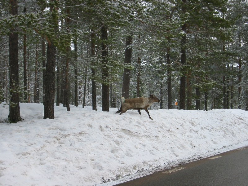
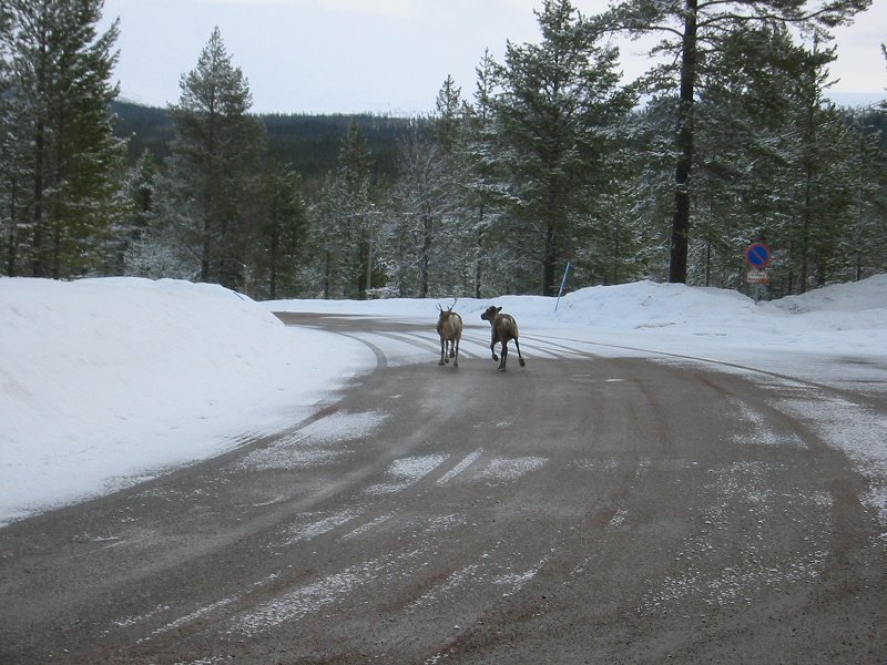
Elk on the road to Nipfjället
Date: 28/04/2006
Google Maps Location
Elk on the road to Nipfjället
Date: 28/04/2006
Google Maps Location
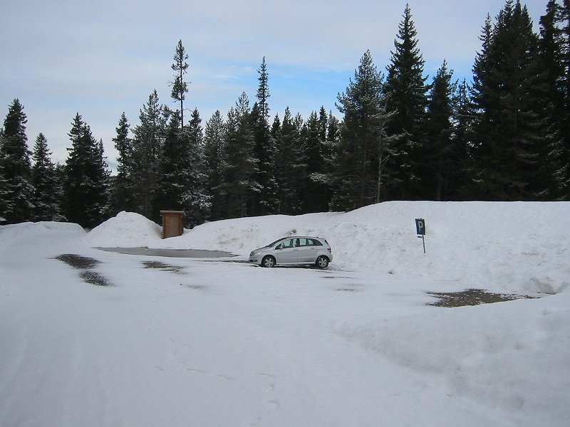
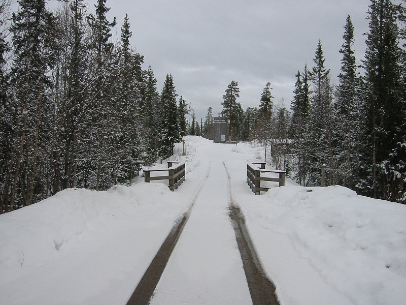
The Städjan car park, Gränjasvallen
Date: 28/04/2006
GPS: N 61° 54.045 E 12° 51.931
Altitude: 693m
Google Maps Location
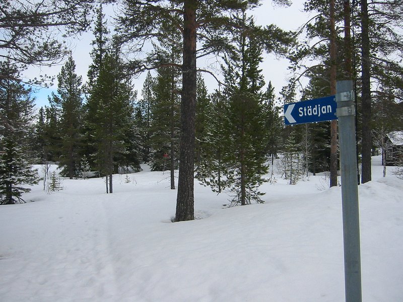
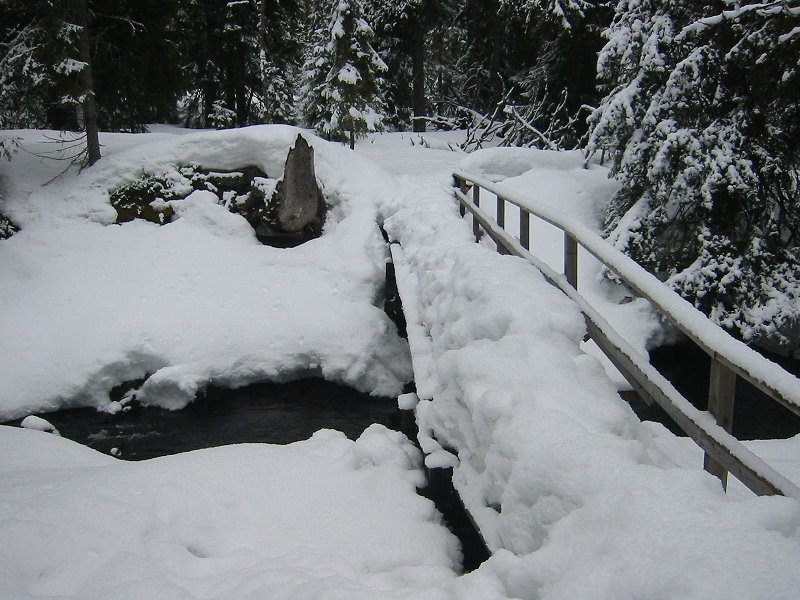
Path to the summit of Städjan
Date: 28/04/2006
GPS: N 61° 54.060 E 12° 52.001
Altitude: 693m
Google Maps Location
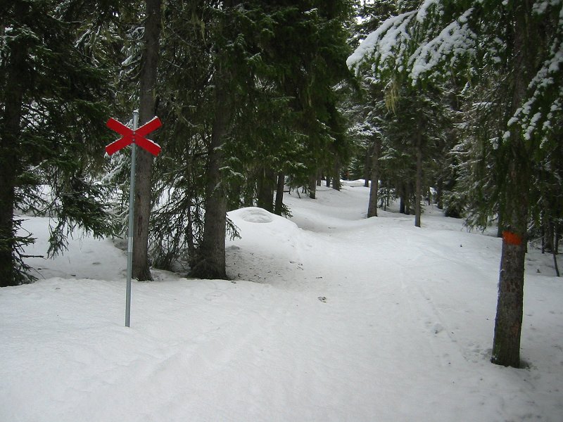
Path to the summit of Städjan
Date: 28/04/2006
GPS: N 61° 54.185 E 12° 52.301
Altitude: 722m
Google Maps Location
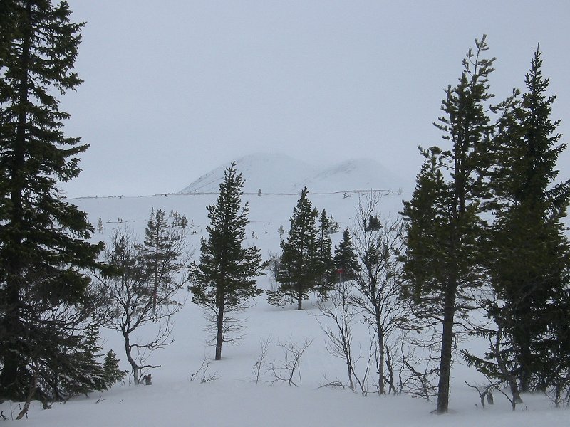
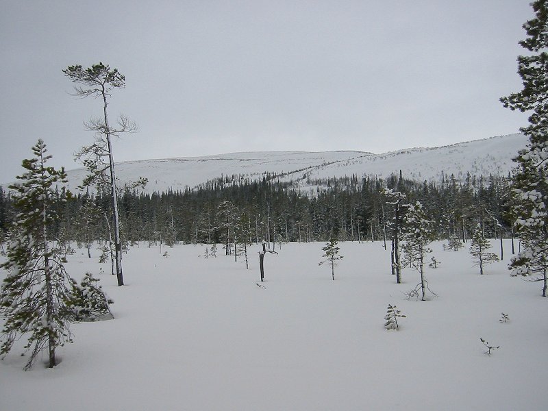
The summit of Städjan from the treeline
Date: 28/04/2006
GPS: N 61° 54.198 E 12° 53.183
Altitude: 840m
Google Maps Location
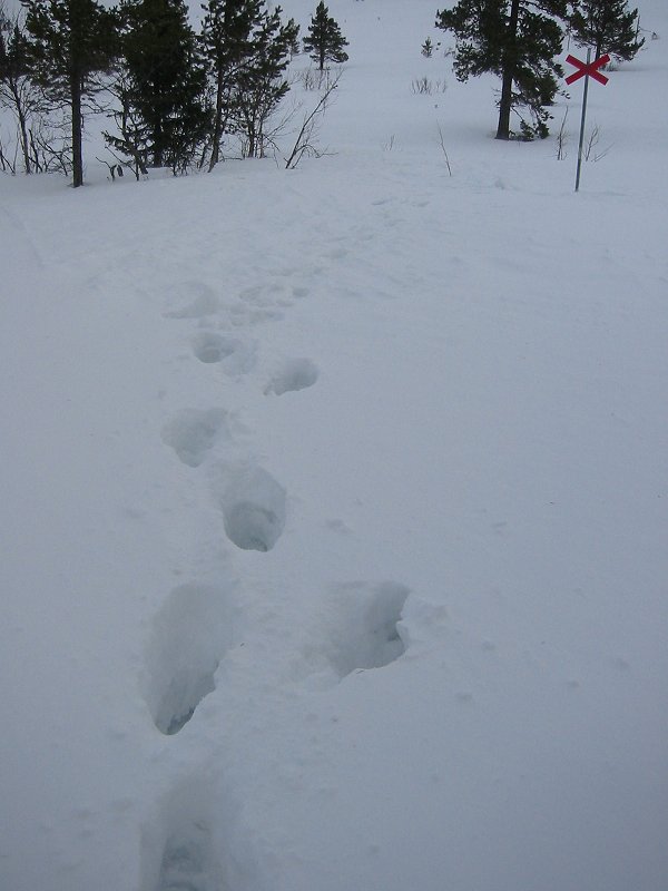
Impossible walking conditions ('postholing') on the path to the summit of Städjan
Date: 28/04/2006
GPS: N 61° 54.198 E 12° 53.183
Altitude: 840m
Google Maps Location
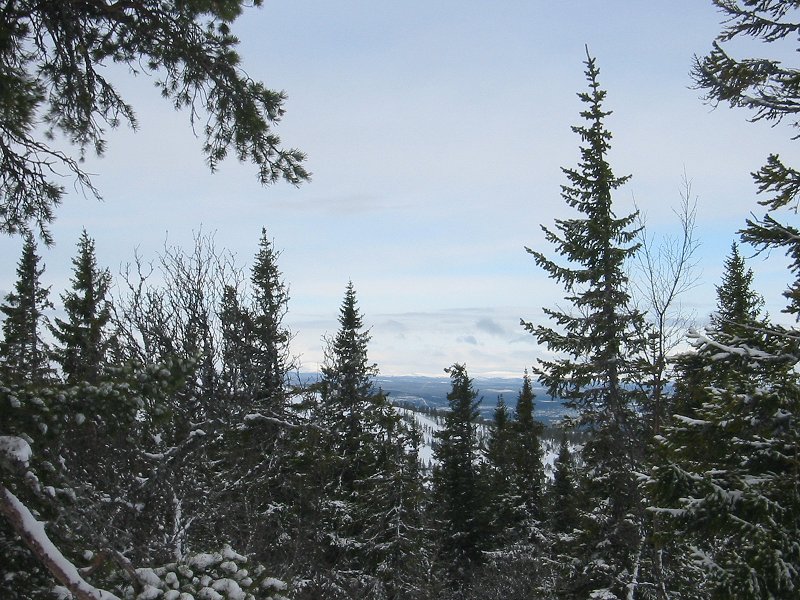
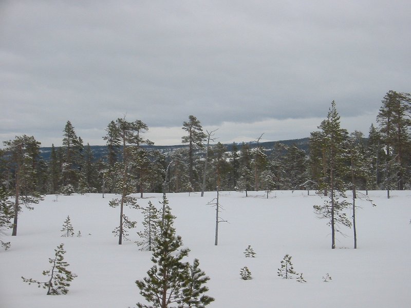
Looking west from the Städjan path towards the Norwegian mountains
Date: 28/04/2006
GPS: N 61° 54.198 E 12° 53.183
Altitude: 840m
Google Maps Location
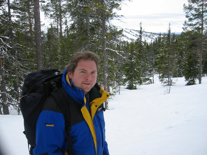
Descending the path to Städjan
Date: 28/04/2006
GPS: N 61° 54.238 E 12° 52.601
Altitude: 781m
Google Maps Location