Back to Home Page
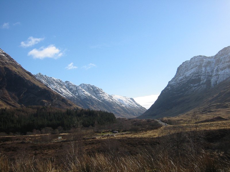
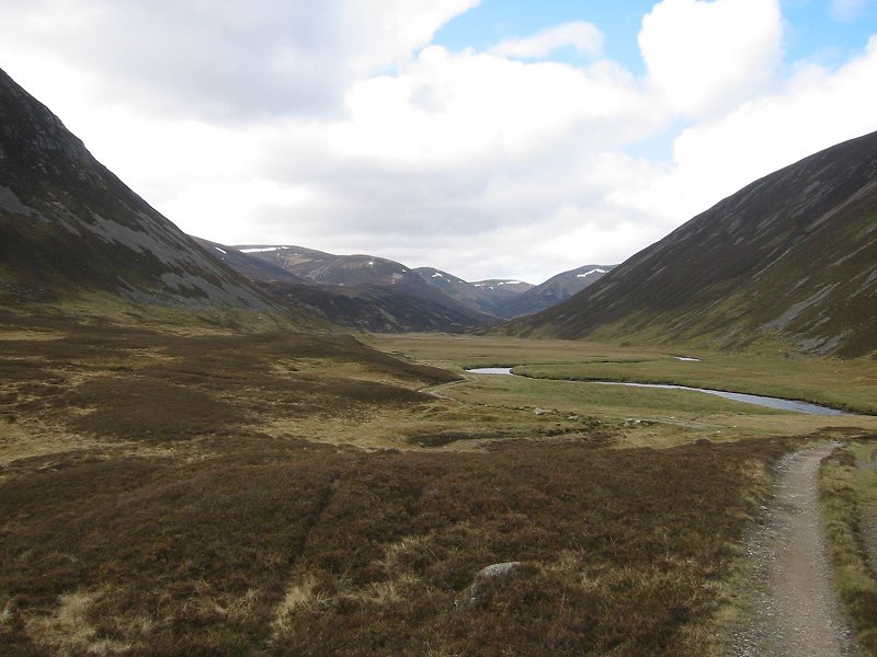
Aonach Eagach ridge and Glencoe
Date: 12/04/2006
GPS: N 56° 39.329 W 5° 04.405
Altitude: 90m
Google Maps Location
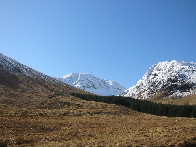
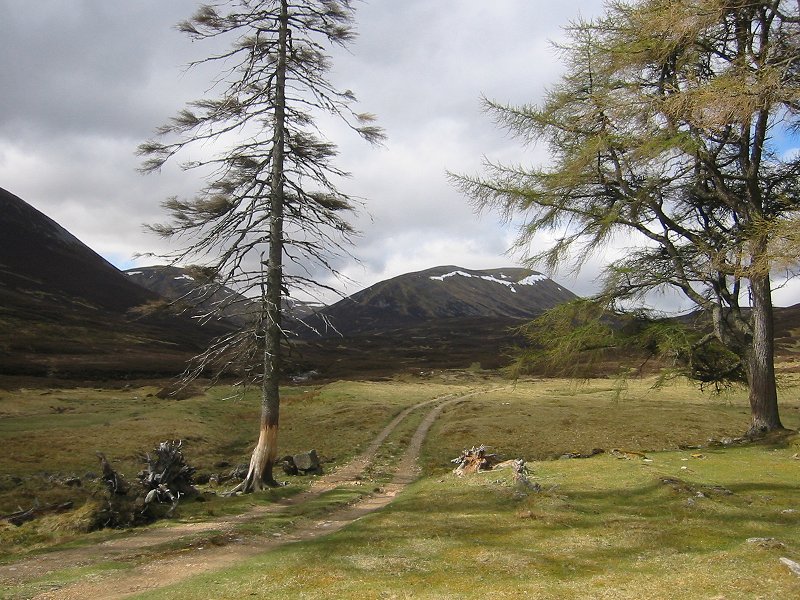
Sgor na h-Ulaidh from Gleann Leac na Muidhe
Date: 12/04/2006
GPS: N 56° 38.787 W 5° 05.275
Altitude: 164m
Google Maps Location
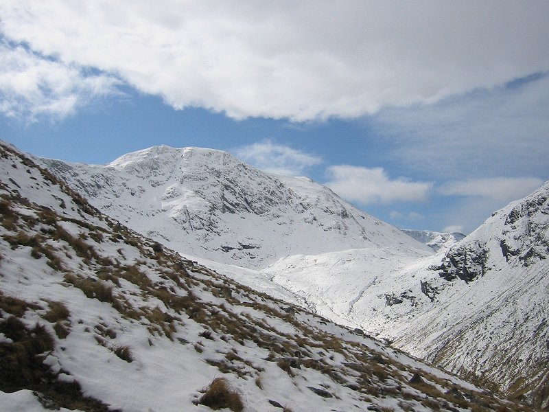
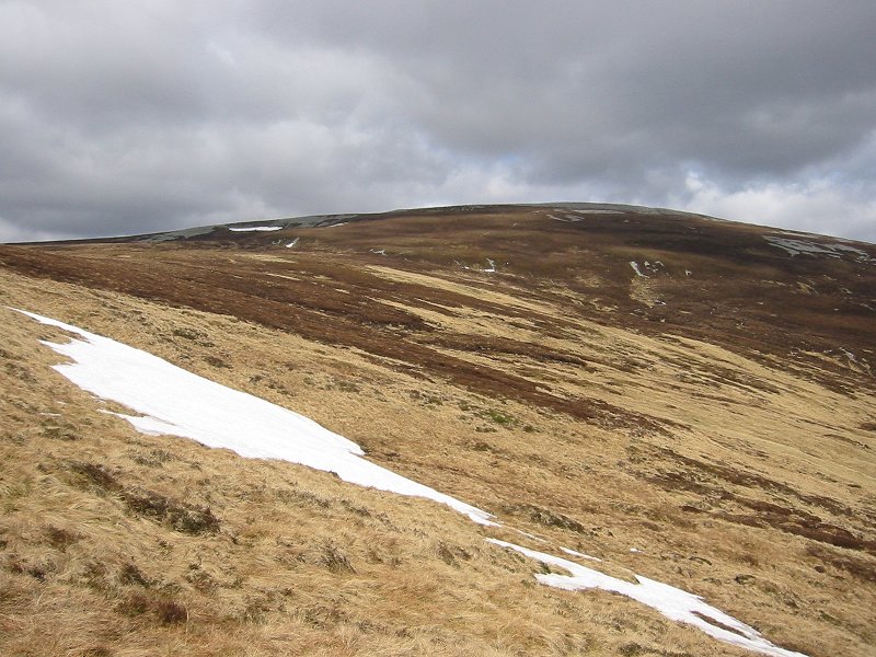
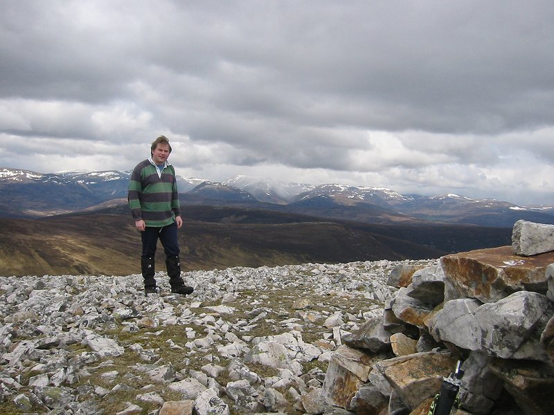
Sgor na h-Ulaidh
Date: 12/04/2006
GPS: N 56° 38.312 W 5° 04.938
Altitude: 421m
Google Maps Location
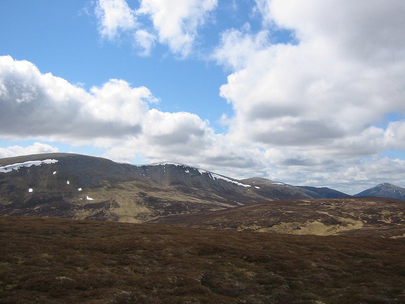
Ben Nevis from Aonach Dubh a' Ghlinne
Date: 12/04/2006
GPS: N 56° 38.082 W 5° 04.007
Altitude: 841m
Google Maps Location
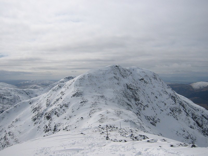
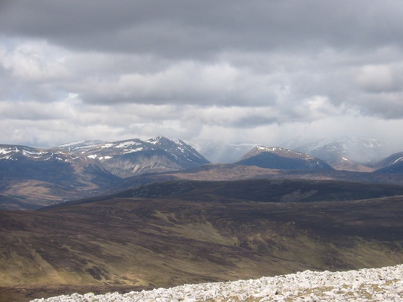
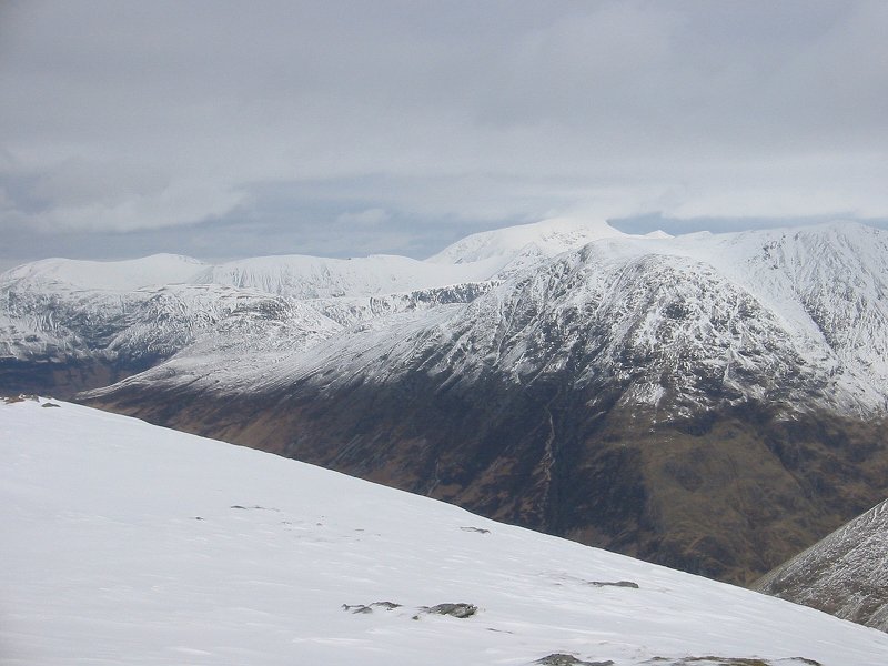
Sgor na h-Ulaidh from Stob an Fhuarain
Date: 12/04/2006
GPS: N 56° 37.450 W 5° 04.233
Altitude: 959m
Google Maps Location
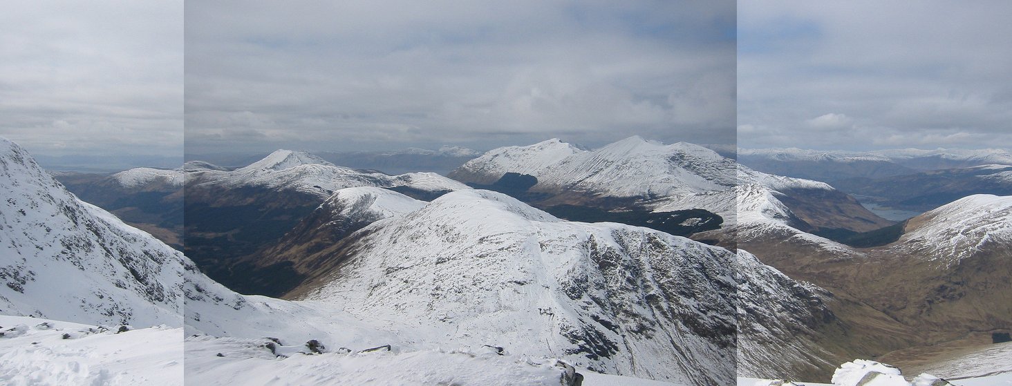
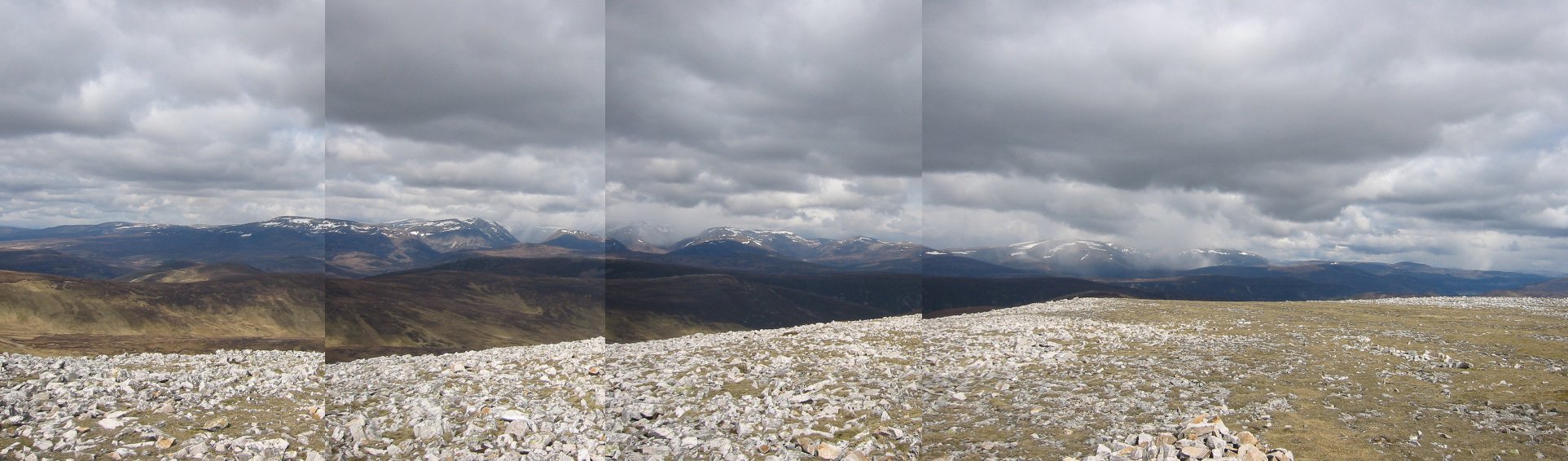
Panorama looking west from Stob an Fhuarain showing Beinn a'Bheithir and Ardgour
Date: 12/04/2006
GPS: N 56° 37.450 W 5° 04.233
Altitude: 959m
Google Maps Location
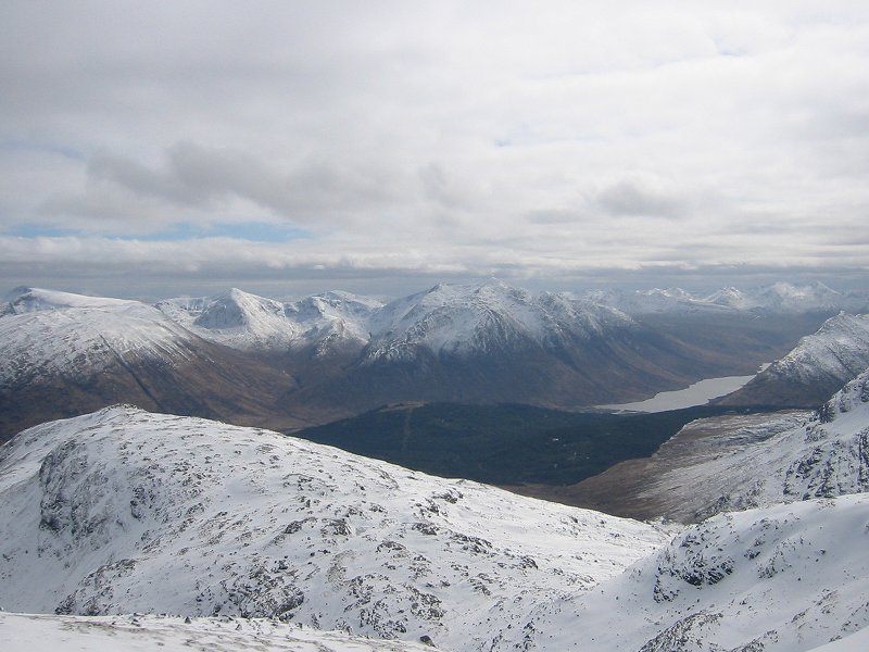
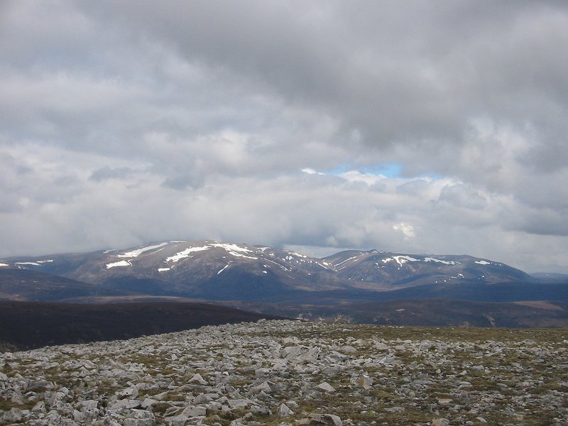
Looking south from Stob an Fhuarain towards Ben Starav and Loch Etive
Date: 12/04/2006
GPS: N 56° 37.450 W 5° 04.233
Altitude: 959m
Google Maps Location