Back to Home Page

Feb 06 - Mar 06 photos
See my Trips section for GPS data and a Google Maps display of the trip that these photos were taken on.

Trip 1: Cairn Gorm and Northern Corries
These photos can also be seen on the Flickr website at http://www.flickr.com/photos/edwardboyle/

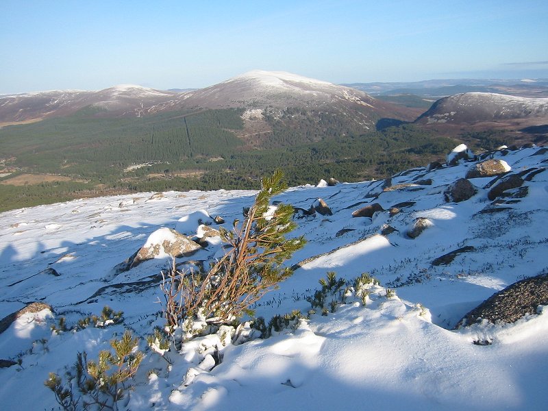
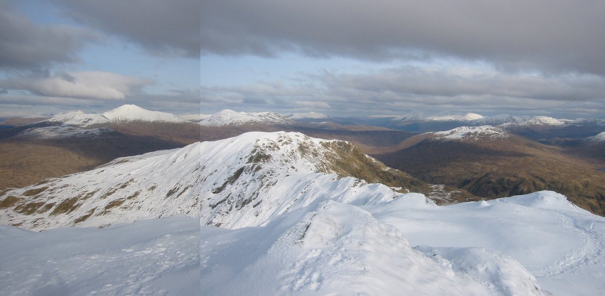
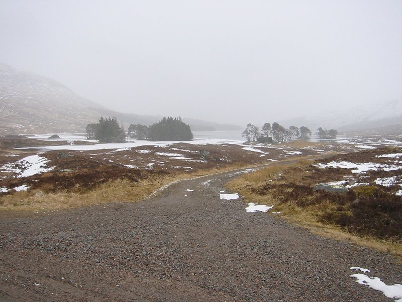
Ryvoan pass from An t-aonach
Date: 10/02/2006
GPS: N 57° 08.408 W 3° 39.793
Altitude: 742m

Google Maps Location

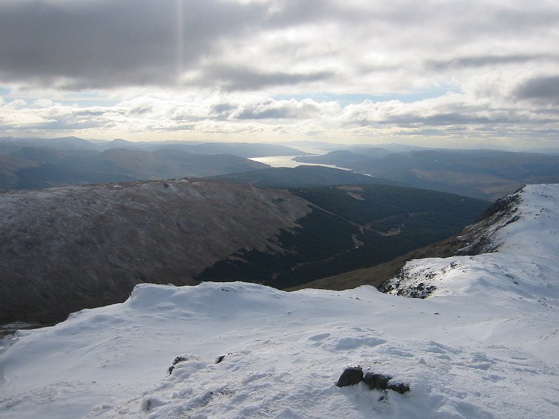
Looking over Loch Morlich towards Ben Wyvis from Sron an Aonaich
Date: 10/02/2006
GPS: N 57° 07.860 W 3° 39.188
Altitude: 956m

Google Maps Location

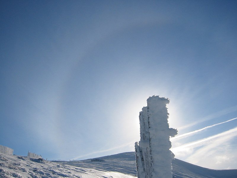
Ptarmigan restaurant and summit of Cairn Gorm with sun halo above
Date: 10/02/2006
GPS: N 57° 07.800 W 3° 39.074
Altitude: 979m

Google Maps Location

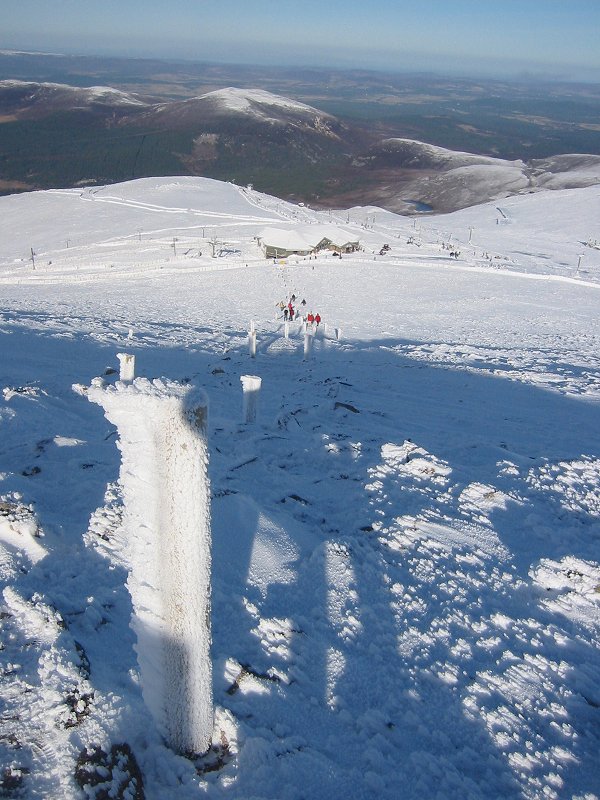
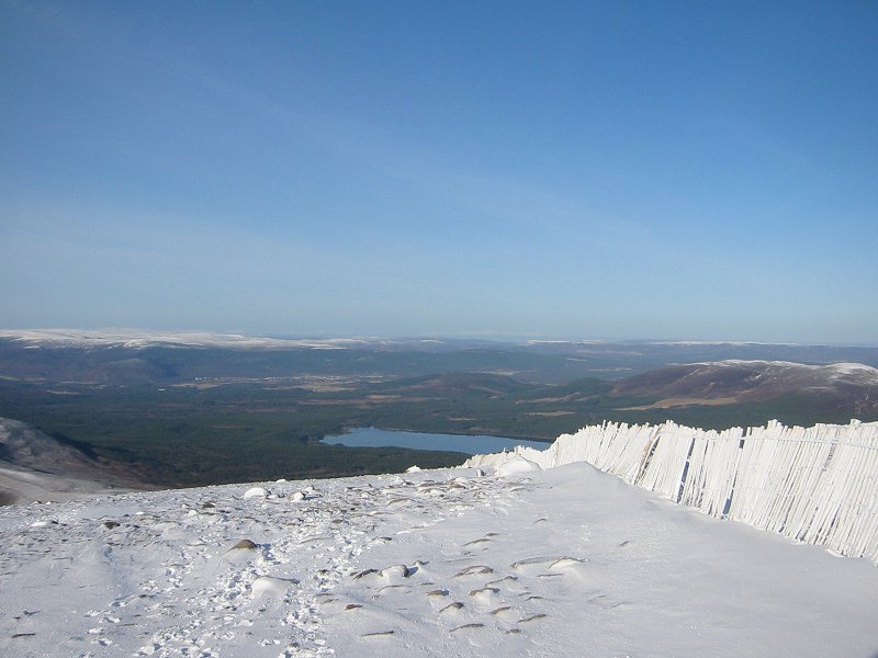
Ptarmigan restaurant from the path to the summit of Cairn Gorm
Date: 10/02/2006
GPS: N 57° 07.263 W 3° 38.680
Altitude: 1168m

Google Maps Location

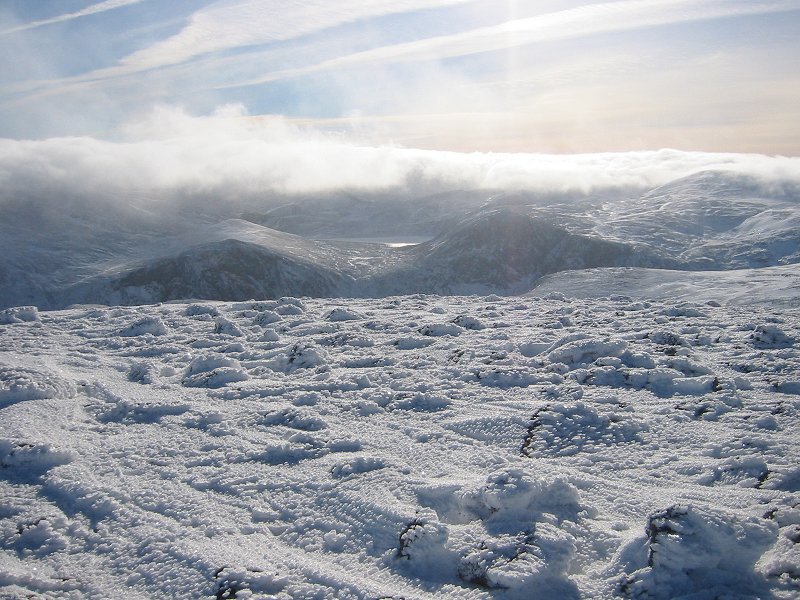
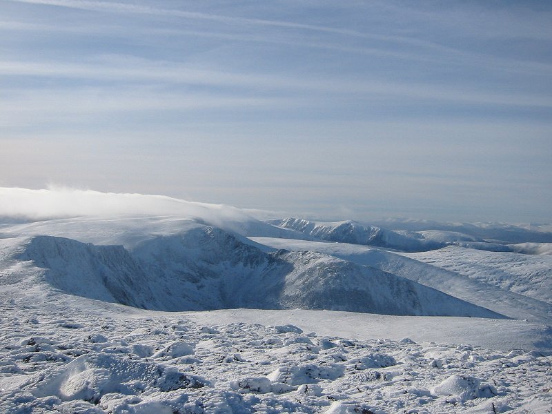
Ben Macdui and Loch Etchachan from the summit of Cairn Gorm
Date: 10/02/2006
GPS: N 57° 07.006 W 3° 38.667
Altitude: 1244m

Google Maps Location

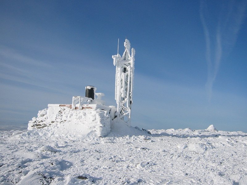
Cairn Gorm summit weather station
Date: 10/02/2006
GPS: N 57° 06.978 W 3° 38.640
Altitude: 1244m

Google Maps Location

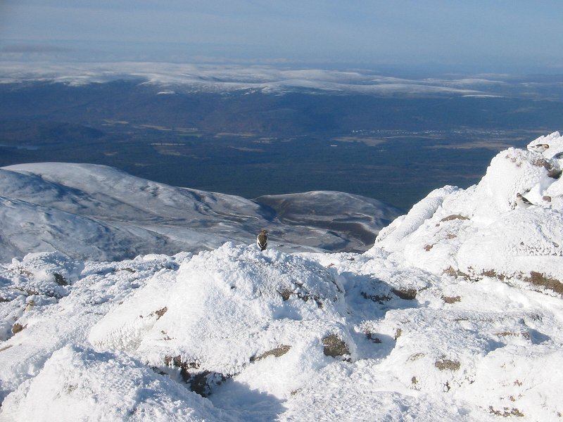
Snow buntings on Cairn Gorm summit
Date: 10/02/2006
GPS: N 57° 07.006 W 3° 38.667
Altitude: 1244m

Google Maps Location

Looking west from the Cairn Gorm summit over coire an t-Sneachda
Date: 10/02/2006
GPS: N 57° 07.006 W 3° 38.667
Altitude: 1244m

Google Maps Location

Trip 2: Glen Fyne and Beinn Bhuidhe

Inverchorachan and Glen Fyne
Date: 22/02/2006
GPS: N 56° 19.008 W 4° 51.841
Altitude: 90m

Google Maps Location

Beinn Bhuidhe
Date: 22/02/2006
GPS: N 56° 19.529 W 4° 53.647
Altitude: 689m

Google Maps Location

Ben Cruachan and the Glen Etive hills from Beinn Bhuidhe
Date: 12/02/2006
GPS: N 56° 19.641 W 4° 54.125
Altitude: 858m

Google Maps Location

Mull, the Pass of Brander and Ben Cruachan from the summit of Beinn Bhuidhe
Date: 22/02/2006
GPS: N 56° 19.602 W 4° 54.402
Altitude: 948m

Google Maps Location

Loch Fyne from the summit of Beinn Bhuidhe
Date: 22/02/2006
GPS: N 56° 19.602 W 4° 54.402
Altitude: 948m

Google Maps Location

The Crianlarich hills from Beinn Bhuidhe
Date: 22/02/2006
GPS: N 56° 19.602 W 4° 54.402
Altitude: 948m

Google Maps Location

Trip 4: Corrour Station and Beinn na Lap

Corrour Station
Date: 22/03/2006
GPS: N 56° 45.631 W 4° 41.438
Altitude: 408m

Google Maps Location

Red Deer near Beinn na Lap
Date: 22/03/2006
GPS: N 56° 45.812 W 4° 40.761
Altitude: 401m

Google Maps Location

Loch Ossian
Date: 22/03/2006
GPS: N 56° 45.843 W 4° 40.553
Altitude: 395m

Google Maps Location