Back to Home Page

California 17 - 26 June 2005


The Sonora pass and Leavitt Peak; 18 June 2005

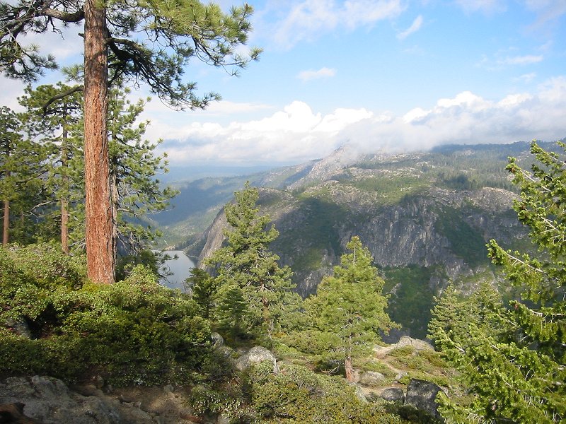
Stanislaus National Forest; Donnell Lake and Dome Rock from the Sonara Pass road

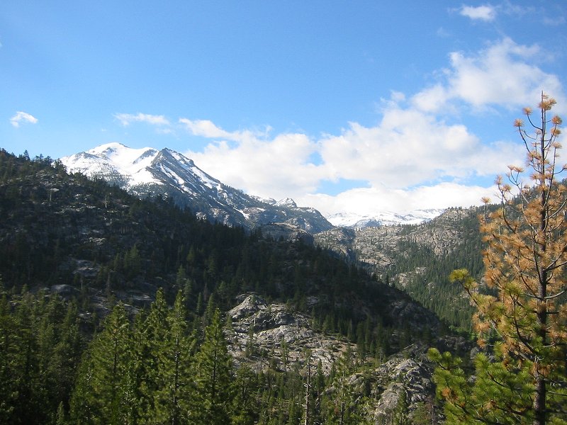
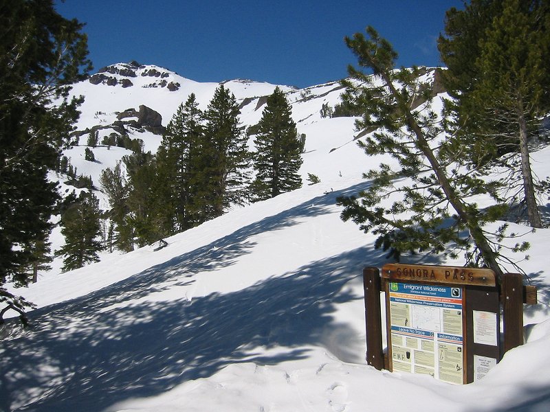
Looking into the Emigrant Wilderness from the Sonora Pass road

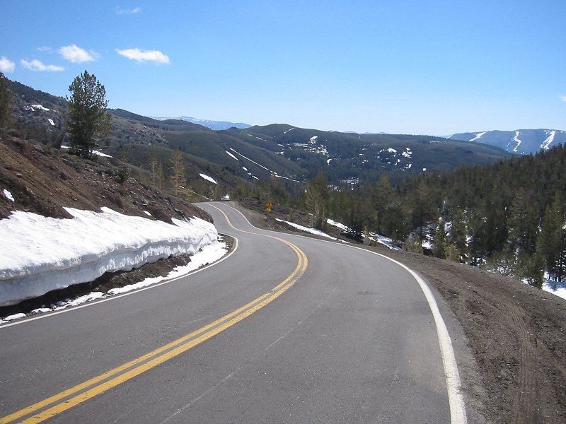
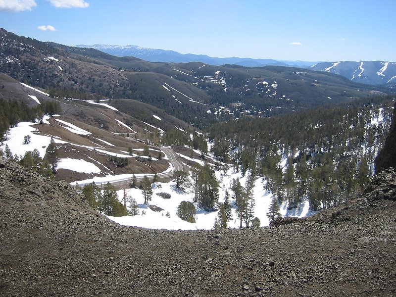
Looking east from the 9624ft summit of the Sonora Pass
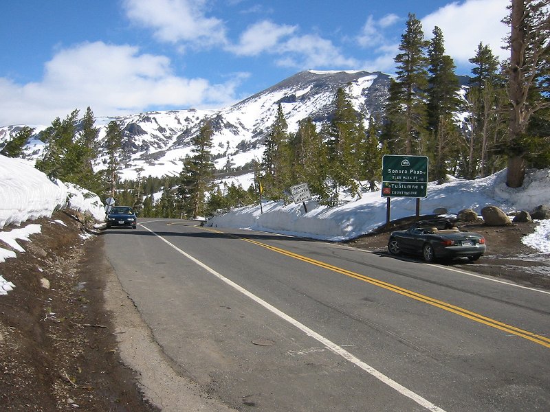

The Sonora Pass


Pacific Crest Trail at the Sonora Pass

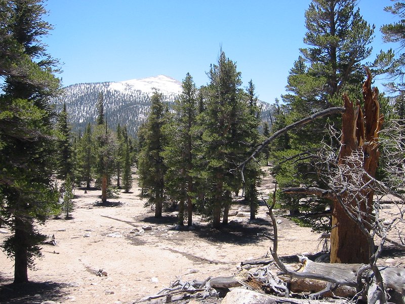
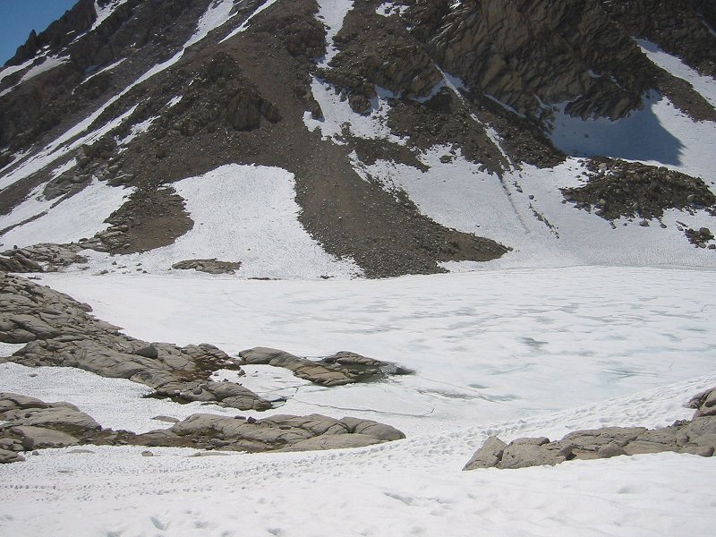
Sardine Creek from the north ridge of Leavitt Peak


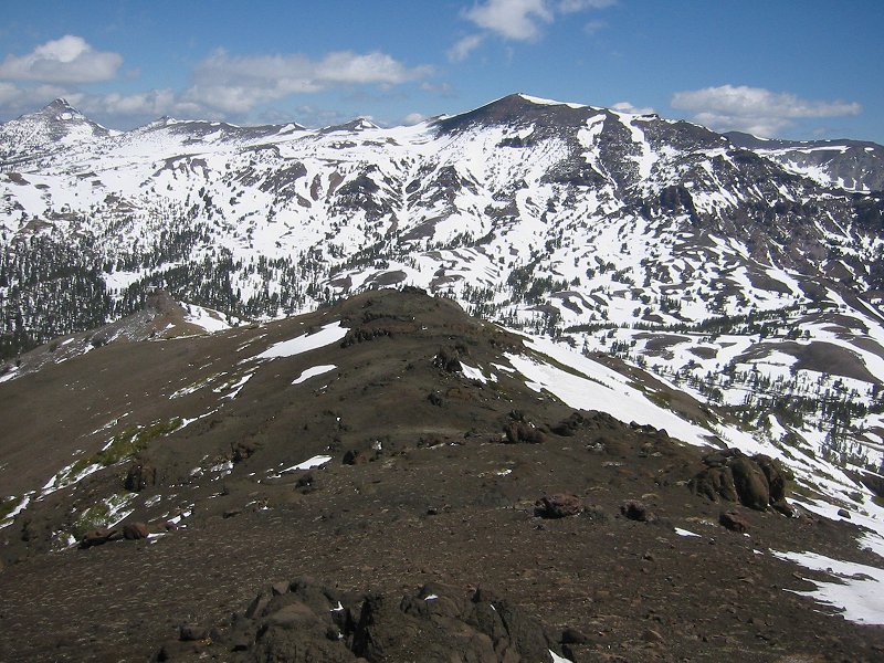
3424m/11233ft Stanislaus Peak (left) and 3493m/11459ft Sonora Peak (right )

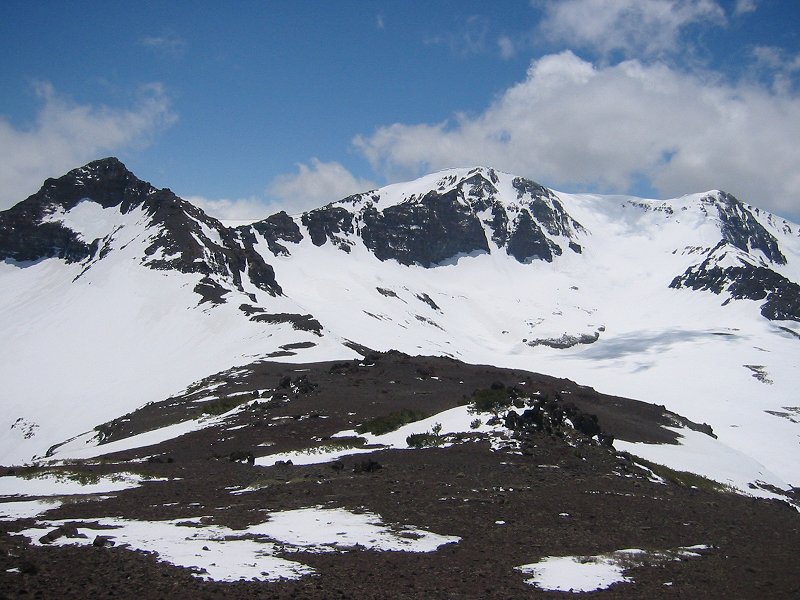
3527m/11570ft Leavitt Peak


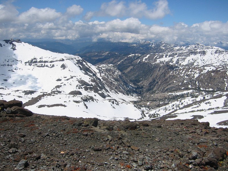
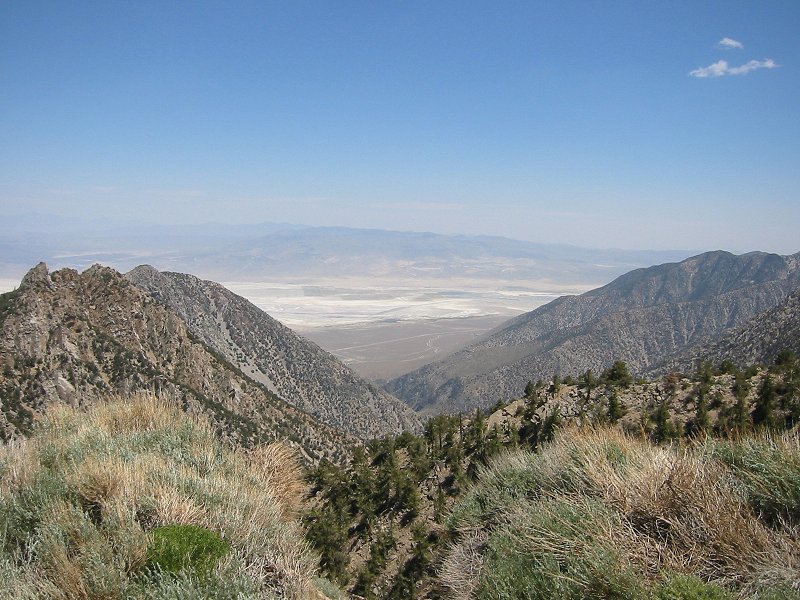
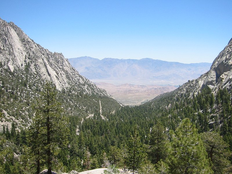
Deadman creek from the north ridge of Leavitt Peak

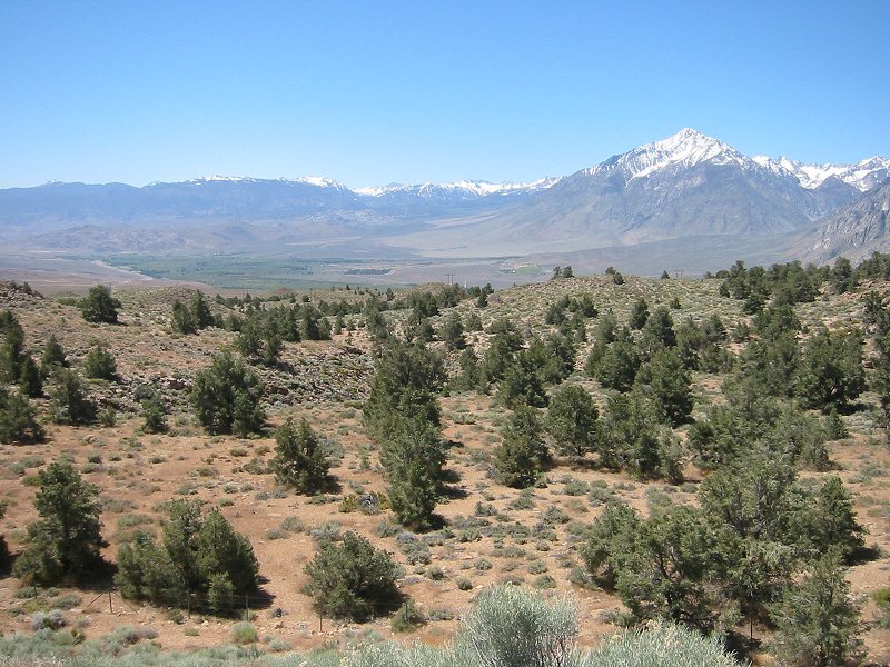
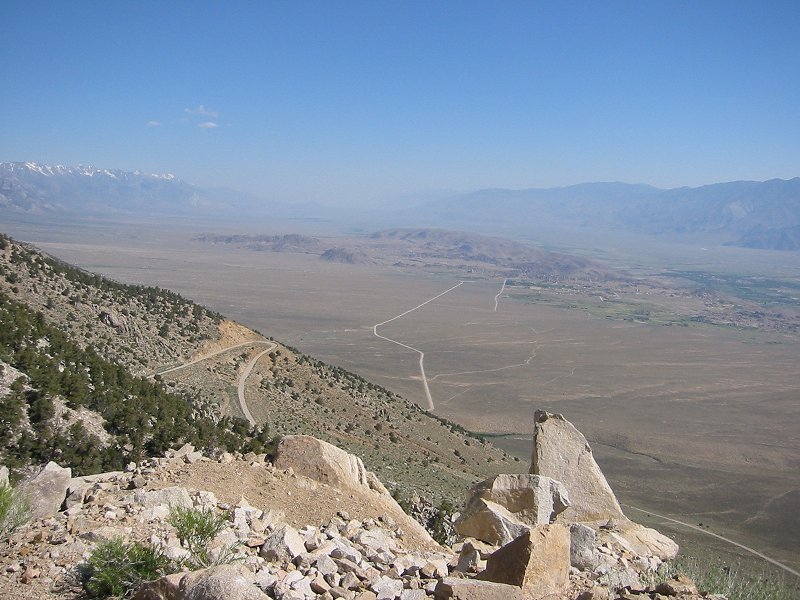
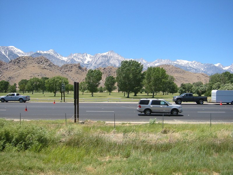
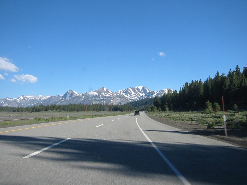
Sierra Nevada peaks from Hwy 395 on route to Mammoth Lakes
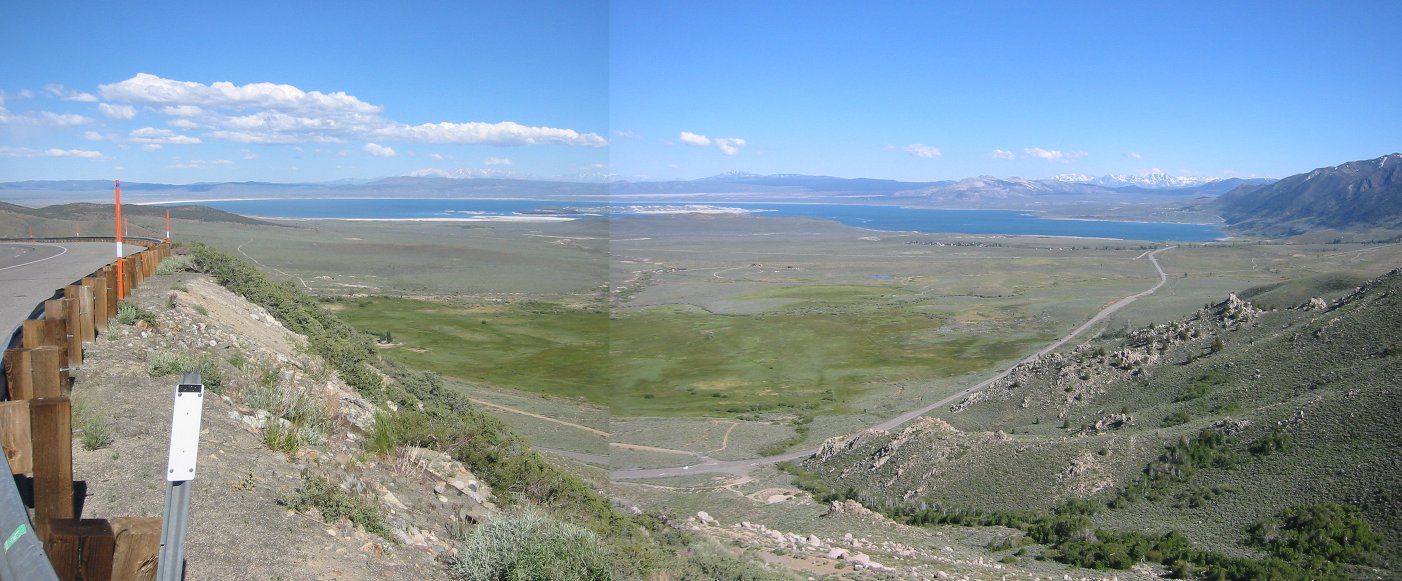
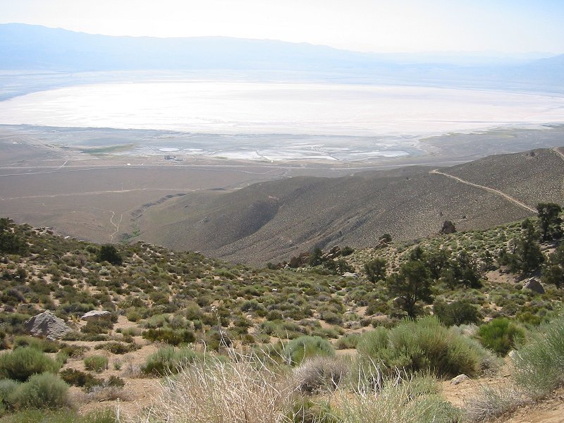
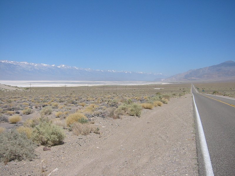
Mono Lake


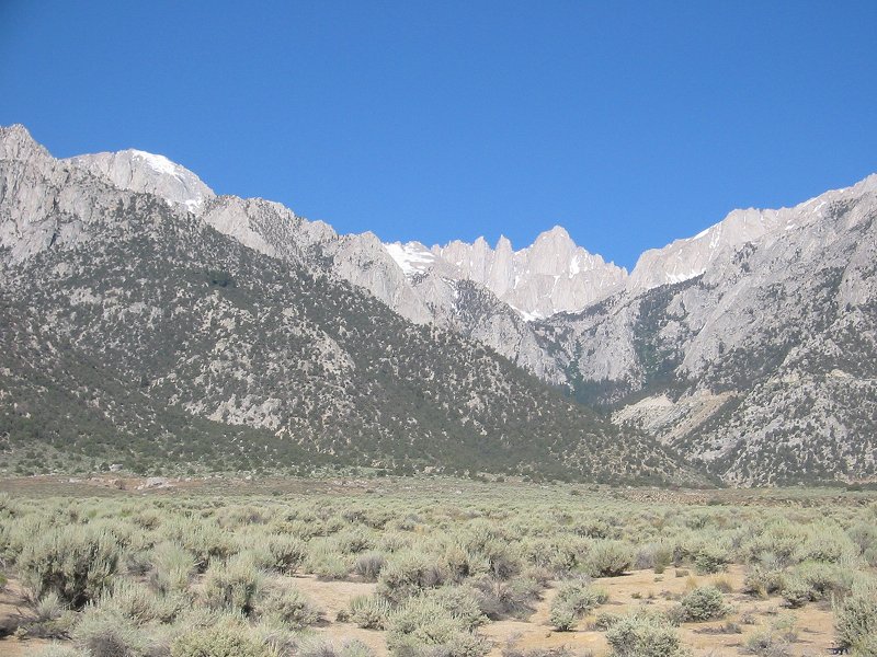
Hwy 395 to Mammoth Lakes; 3739m/12268ft Mount Morrison, 3600m/11812ft Laurel Mountain and 3817m/12522ft Bloody Mountain


Mammoth Lakes 19 June 2005

Road to Minaret Summit

Ansel Adams Wilderness from the Minaret Summit at 9285ft. From left to right: the Minarets, 4006m/13143ft Mount Ritter and 3946m/12945ft Banner Peak

Minaret Summit

Hwy 395 to Lone Pine; 4161m/13652ft Mount Tom near Bishop

Movie here


Horseshoe Meadow 21 June 2005

Owens Lake from the Horseshoe Meadow road

Lone Pine and the Alabama Hills from the Horseshoe Meadow road

Trail from Horseshoe Meadow to Cottonwood Creak at 10000ft

Cottonwood Creek trail

Cottonwood Creek

Horseshoe Meadow

Owens Lake from the Horseshoe Meadow road
Movie here


4419m/14494ft Mount Whitney; 22/23 June 2005
Read some notes about this trip I posted to a discussion forum
summitpost.org Climber's Log entry here.

Mount Whitney (highest point in United States outside Alaska) and surrounding peaks from the Lone Pine visitor center

Mount Whitney from the portal road


Looking north up the Owens Valley from the Whitney portal road


The Whitney portal road


Thor Peak and Mount Whitney from the portal road


Start of the main Mount Whitney trail


Thor Peak from the trail


Lizard on the trail


Trail crossing North Fork Lone Pine Creek


Climbing towards Lone Pine Lake


Crossing Lone Pine Creek at 10,000ft

The start of the Whitney zone above Lone Pine Lake

Looking down to Lone Pine Lake and east across the Owens Valley to the Inyo Mountains


Bighorn Sheep Park and Outpost Camp


Snow-covered trail to Trail Camp above Mirror Lake at 11,000ft


Trail Camp at 12,000ft

The route to Trail Crest


Solar latrine at Trail Camp


Whitney Needles at sunrise


Snow surface on the trail at sunrise


The route to Trail Crest at sunrise


Ice on the switchbacks

Cable section of the switchbacks


Pinnacle Ridge from the snow chute


Wotans Throne and Trail Camp from the snow chute

Highest point; approx. 13,000ft on the snow chute

Looking up the snow chute towards Trail Crest

Marmot at Trail Camp


Mount Whitney and the Needles from Trail Camp


Descent from Trail Camp


Frozen Consultation Lake


Above Whitney Portal


Lone Pine: Dow Villa Hotel where I stayed; and the Mount Whitney Restaurant where I had a Buffalo Whitney Burger


Death Valley 24 June 2005

Sierra Nevada peaks and Owens Lake from the road to Death Valley

Panamint Valley

Sand dunes in Death Valley

Dust devil in Death Valley

Death Valley; near Furnace Creek. Temperature: 46c

Looking north up Death Valley

Looking south down Death Valley into the Badwater Basin, lowest point in the western hemisphere

3368m/11049ft Telescope Peak

Death Valley road

Badwater

Sea level marker on cliff above Badwater

Badwater spring

Badwater

Lowest point; -86m/-282ft

Looking north up Death Valley