Outward Bound Course to Norway 1965
Source: 'The Covenanter' published by The Regimental Trustees
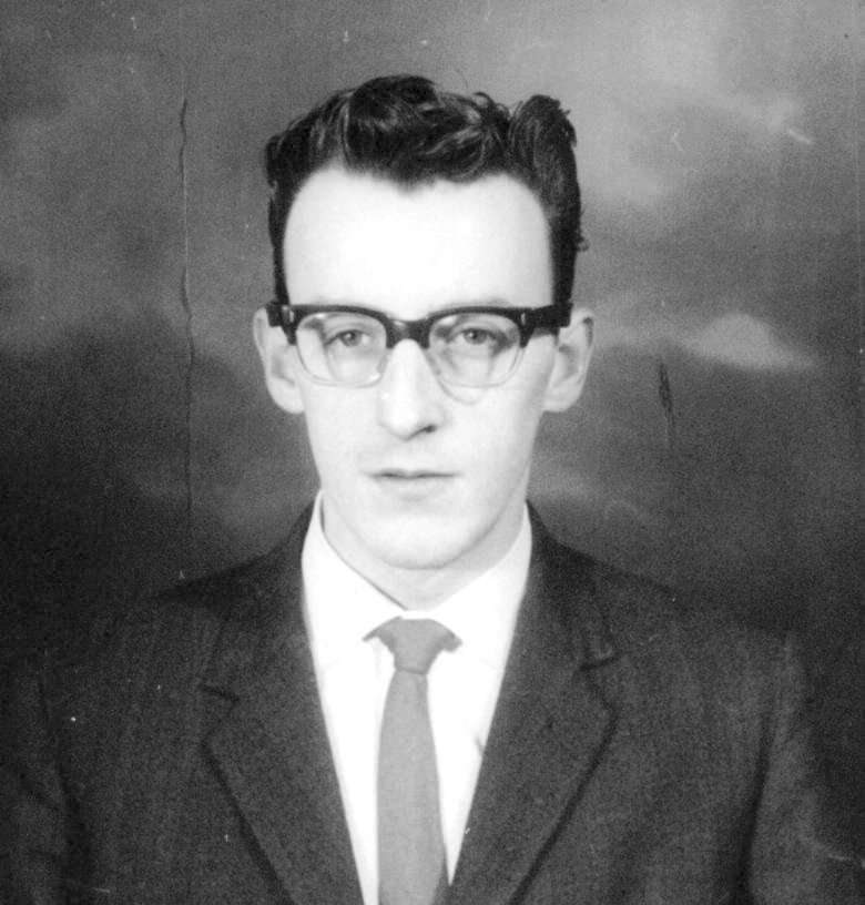
Some participants. Do you know who they are?


Click here to see exercise instructions
Hover mouse over photo to see names


![]()

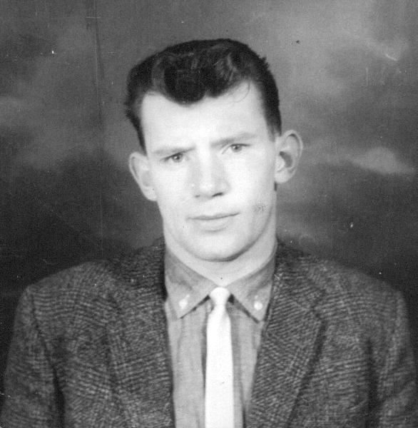
Tam Houston
Born 22 May 42
Ex-army occupation: Bus conductor
Died 1 Feb 91 from Heart Attack


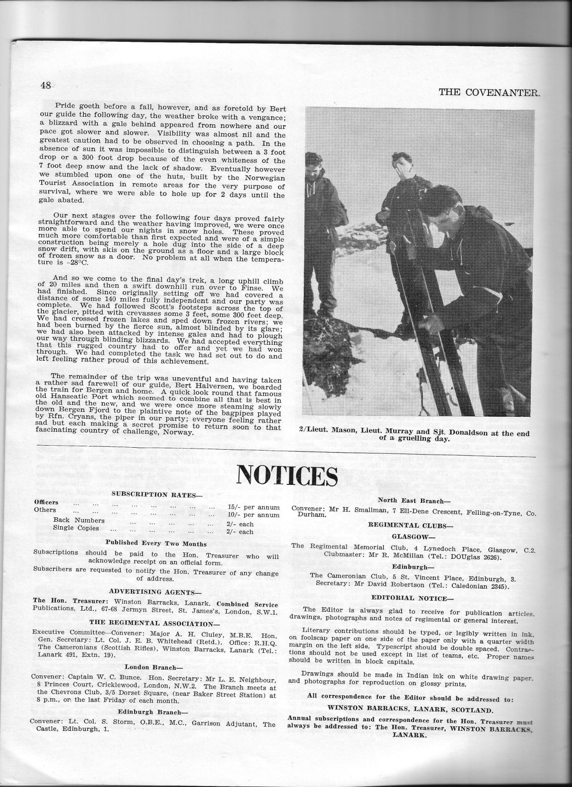
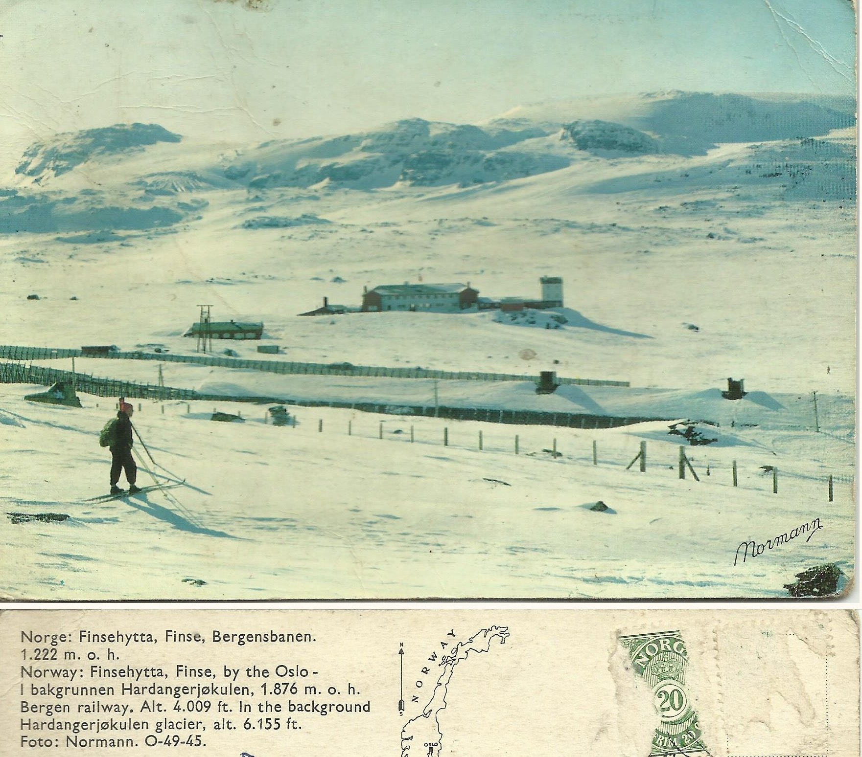
The Route Taken
With the help of my son (who is an expert in such things), I am now able to graphically show the route taken. I've attached a KML file to this email. This works with Google Earth which has to be installed on your computer. If you download the KML file it and double click on it, Google Earth will automatically open and show the route.
He created this web page that shows the route on Google maps, so anyone can see it. http://www.edwardboyle.com/Norway_1965_v2.html
He says, "I had to do a bit of detective work on this, and basically the route laid out in the original orders is a standard dogsledding/skiing route that goes from hut to hut. It's a circular route and it's clockwise starting from Haugastol.
This route (in red) has a whole new northern section which I missed in the first attempt at a map - this means that the route is much closer the 160km route length that was originally mentioned in the exercise instructions. This route is the standard hut-to-hut dogsledding/skiiing route in the area, and may not represent what you actually did, but it's the route that is outlined in the exercise instructions.
I have also added in some markers (in light blue) - these markers represent all the places that were listed in the original exercise instructions. You can click on the markers for more information about that place. You may notice that the only marker which is not on the route is the summit of the main icecap - this is listed in the instructions, but is not part of the standard route.
And he found this article, which describes the route as it was in 1974 - this
describes the route in the anticlockwise direction:
https://books.google.co.uk/books?id=5rF2AoO8gxoC&lpg=PA87&ots=DSNxv3IOSst&pg=PA82
This will be a very useful website to use: http://www.norgeskart.no/ It allows
you to zoom in and see the placenames like the names of mountains and glaciers in the area
and get their coordinates.
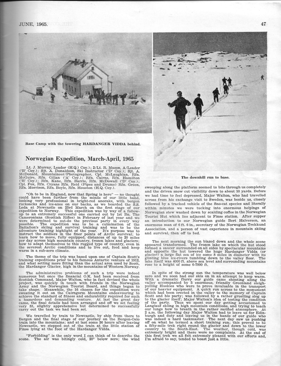
Base Camp
Updated 12 Jan 2016