 click
her to hear them play
click
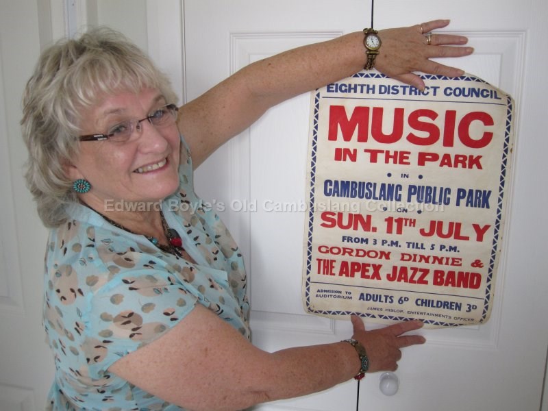
her to hear them playThe following photos were in a collection owned by the late Gordon Dinnie. His wife Senga graciously allowed them to be copied and viewed here in Gordon's memory for all to see and enjoy.
A lot of them were taken around the time the area was being redeveloped in the early 1960s and we owe a thanks to Gordon who probably was the photographer who captured these images.
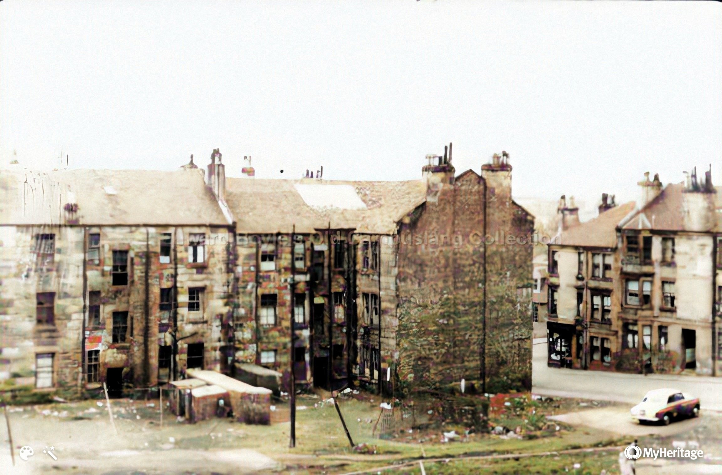
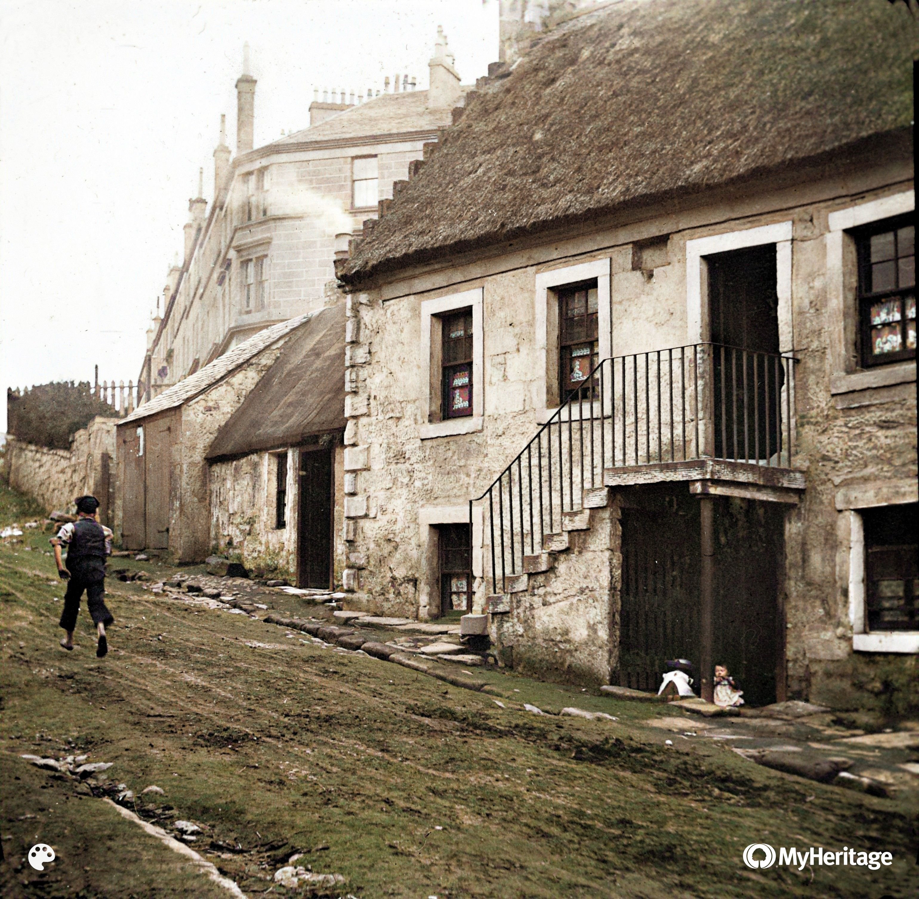
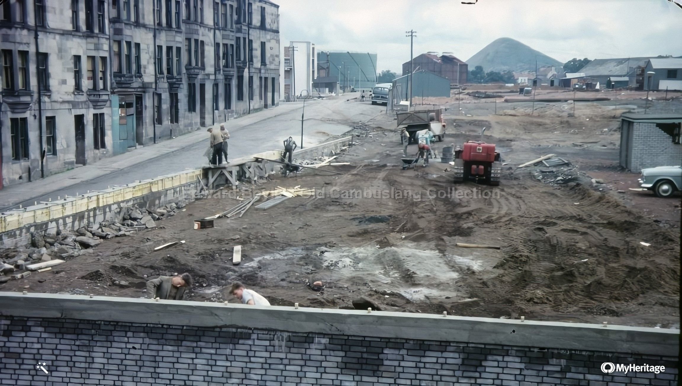
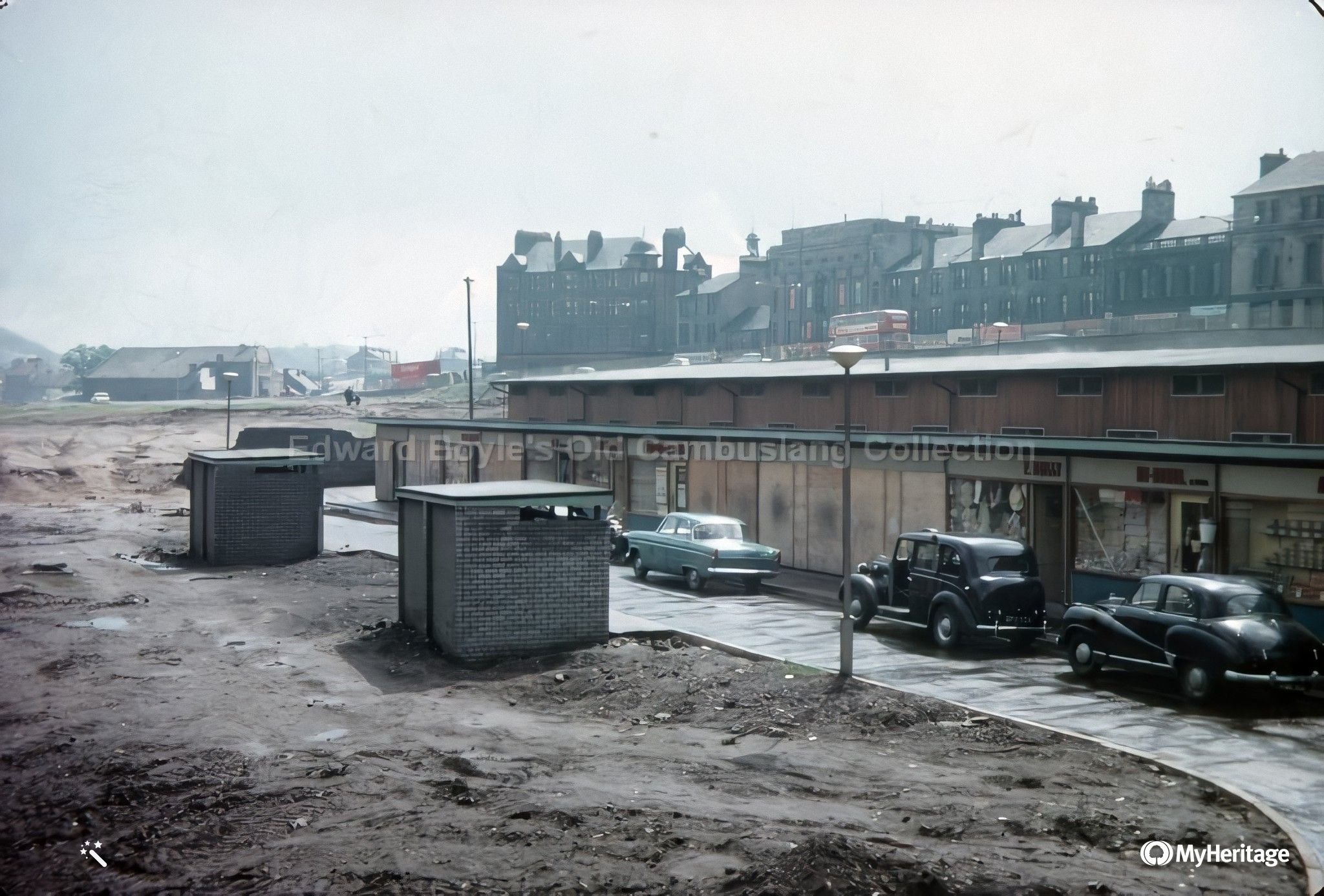
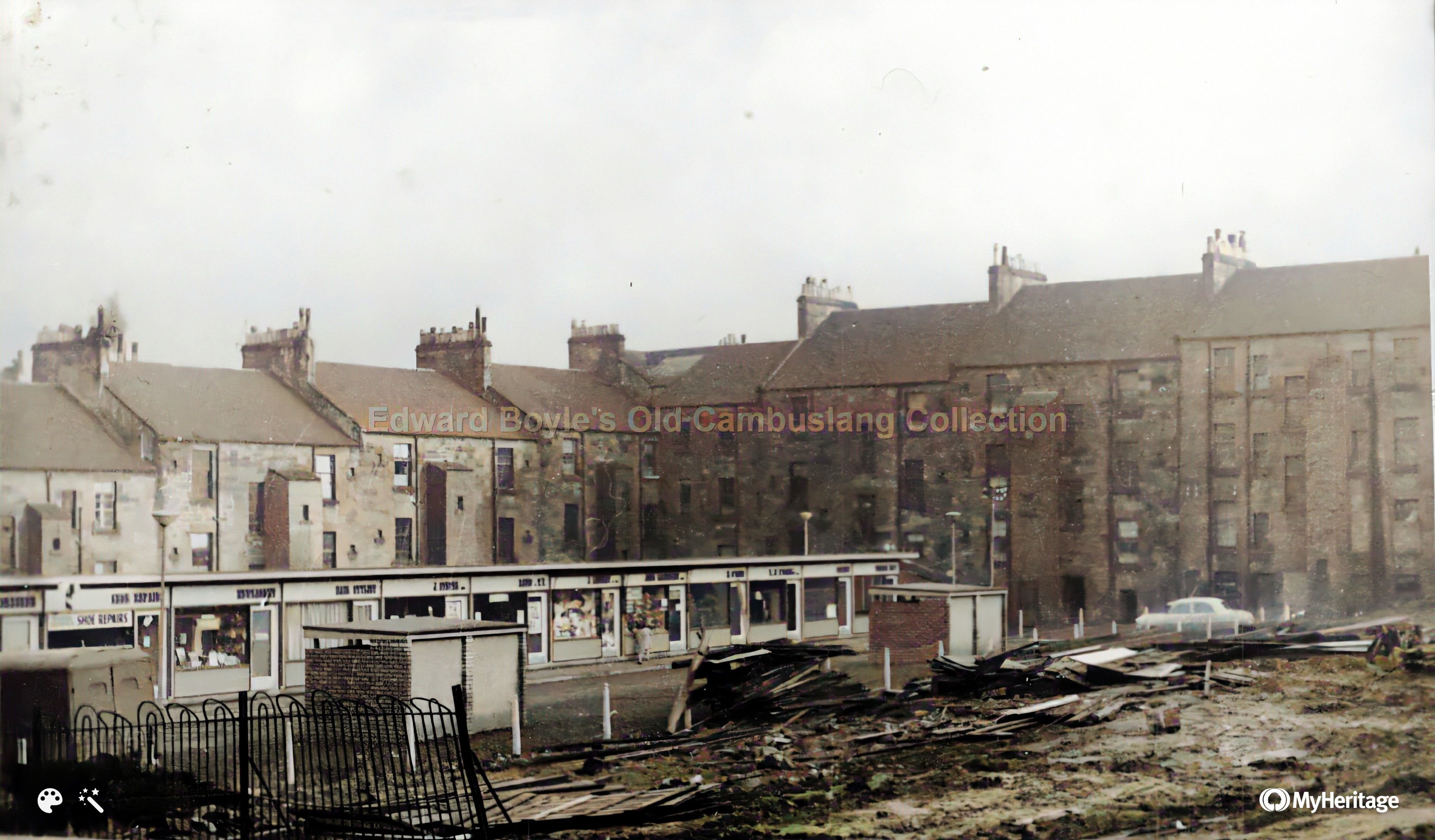 Temp Shops behind Park St Feb 1961. Viewed from Main St |
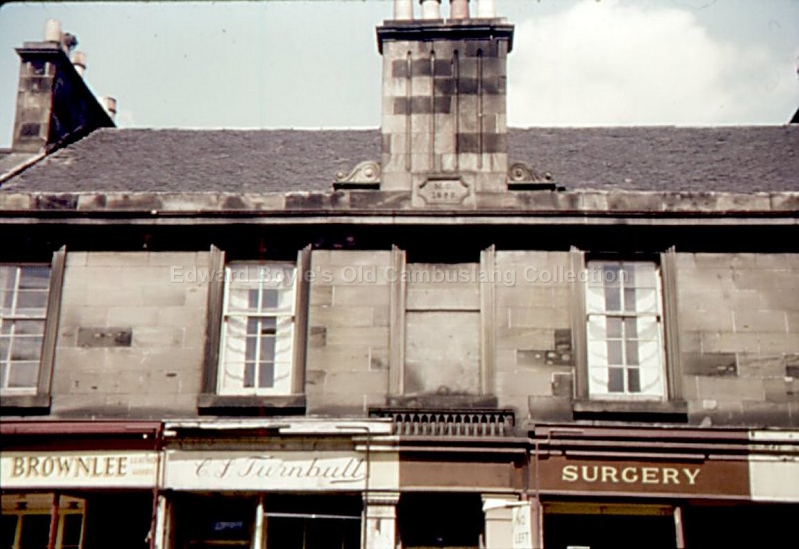
 Main St |
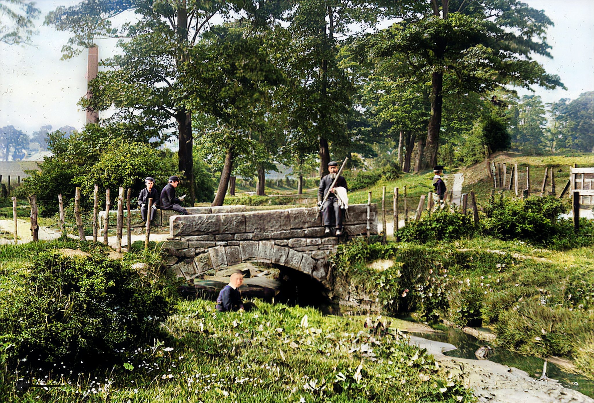
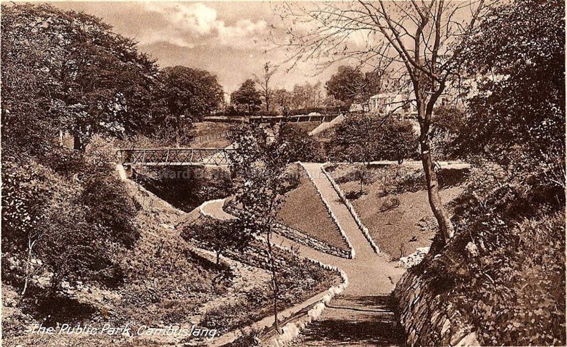 Public Park in its heydey |
 Morrison St looking up to Main St |
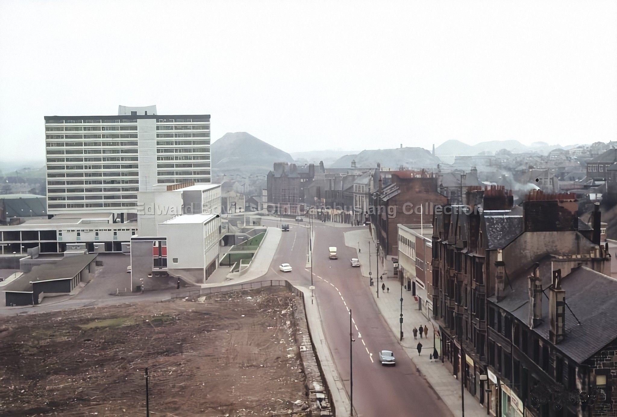
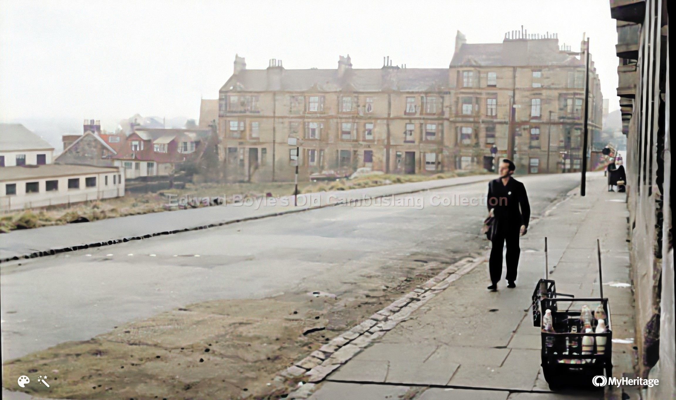
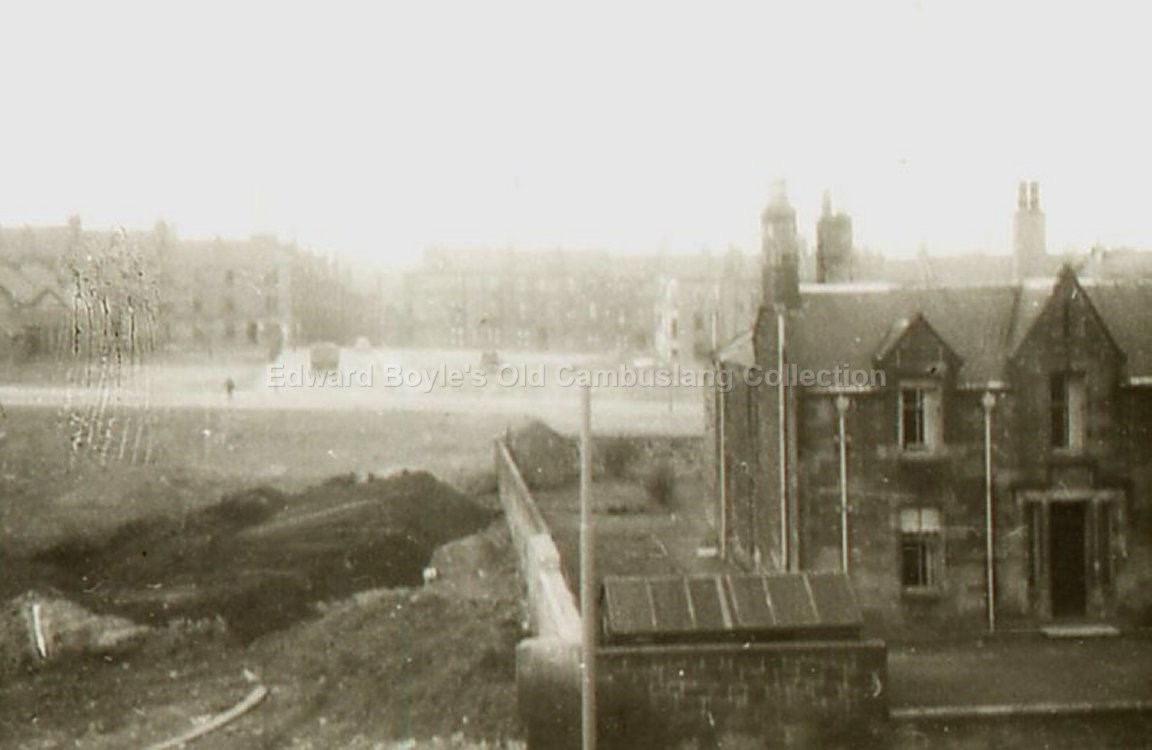
Looking toward police and fire station from tower block |
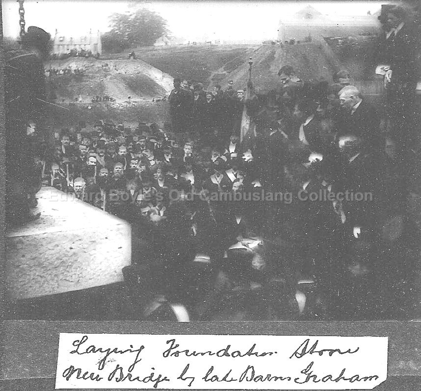
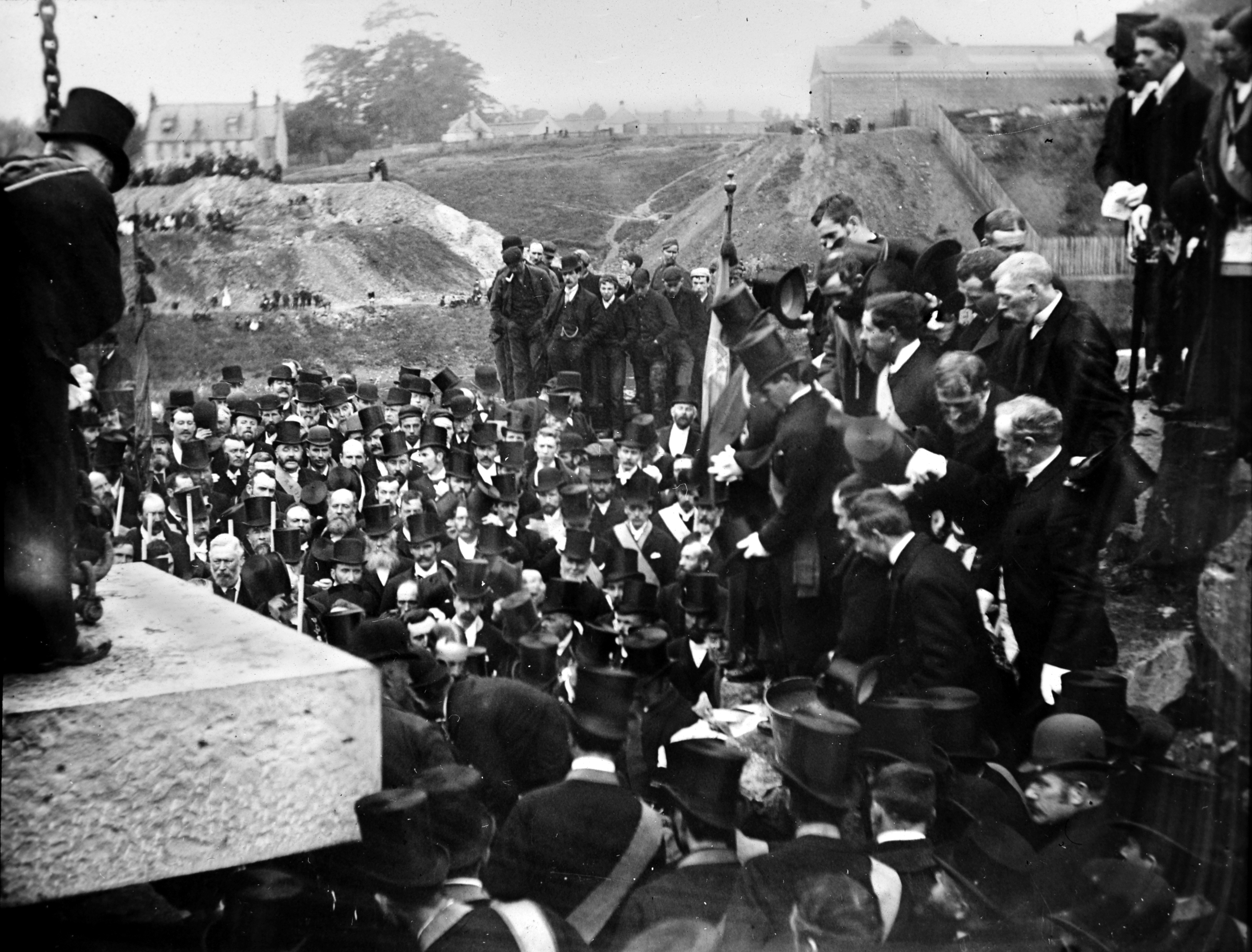
War memorial unveiled 1923 |
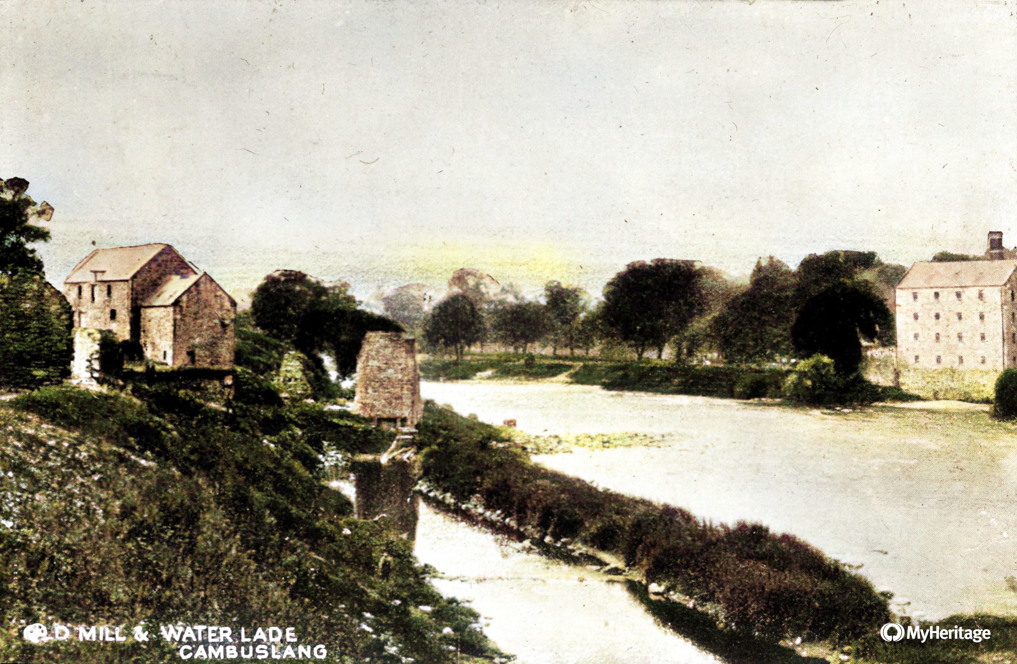
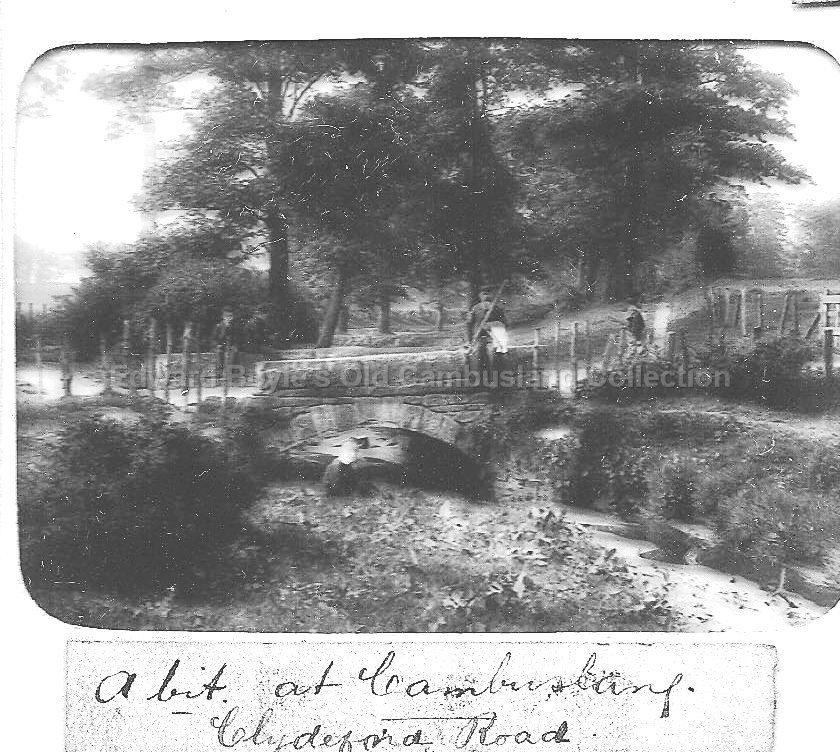 Where the black burn and Kirk burn met Better Photo |
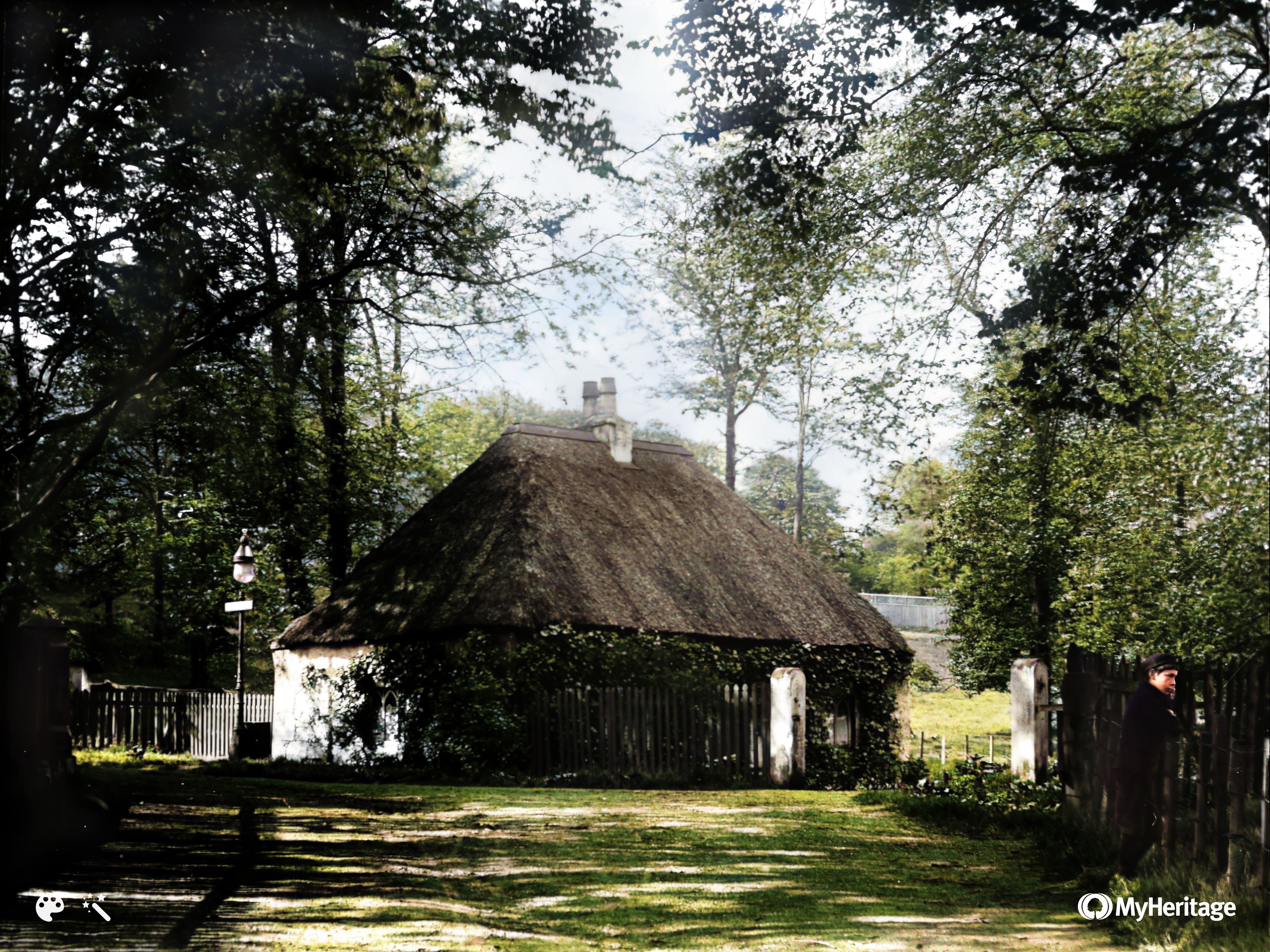
 See Rosebank house in background Better Photo |
 |
 Bottom of Morrison St with Clyde Iron Work in distance |
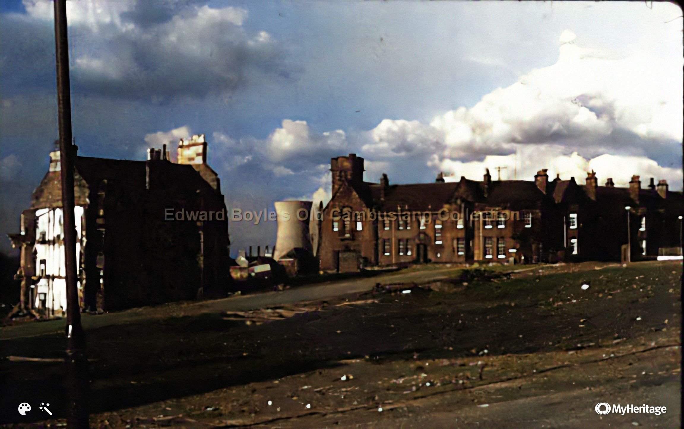
 Looking towards Carmyle and Clydesmill power station |
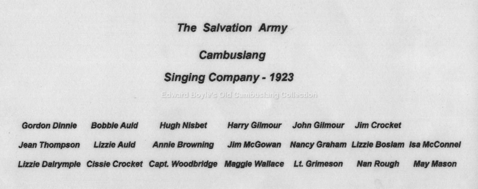
 Silverbanks. Salvation Army band getting ready |
 Rear of Bain St with Park St running to the right |
 Same location? |
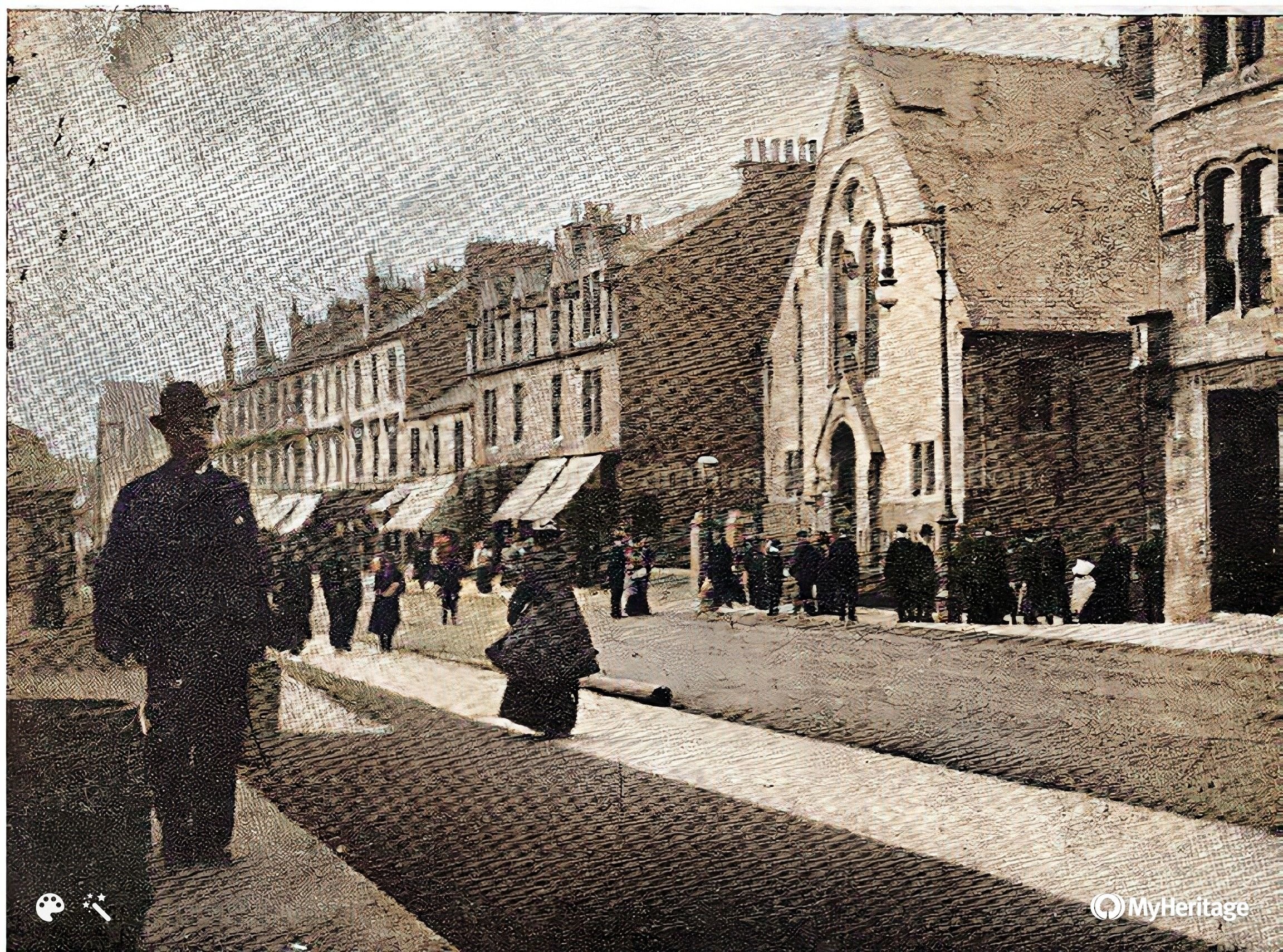
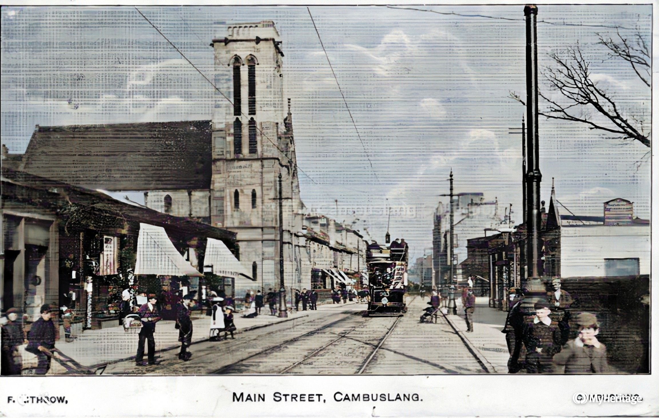
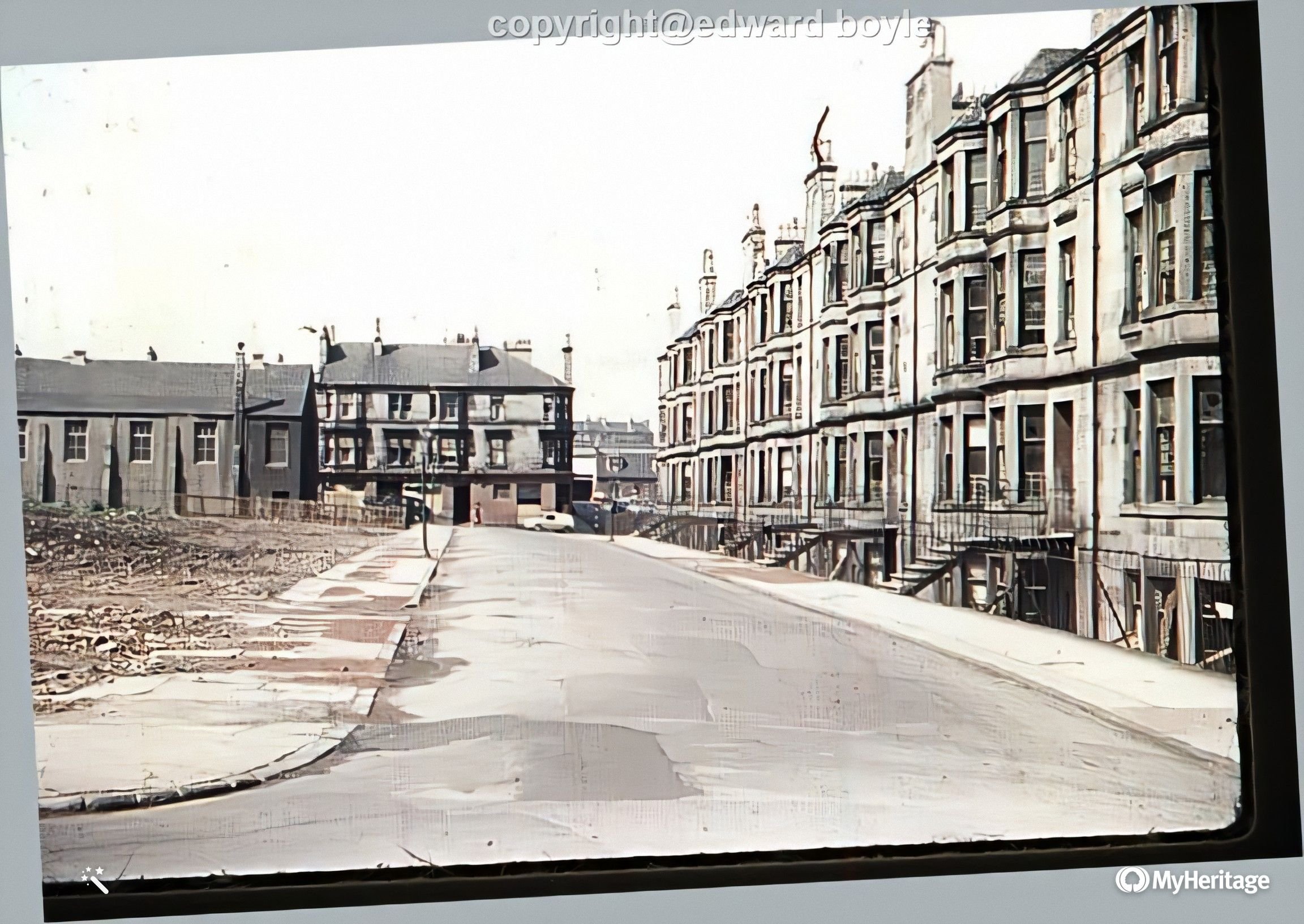
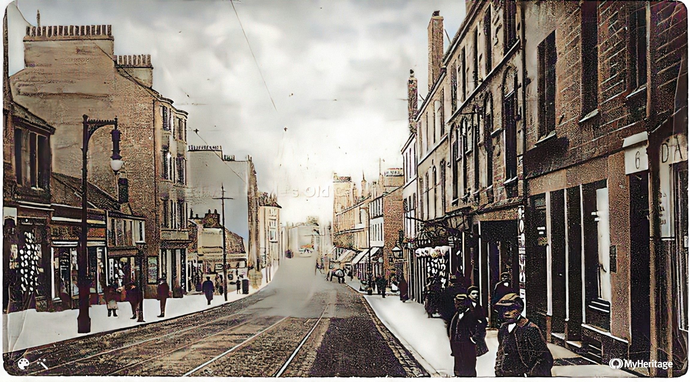 Main St |
 Better Photo |
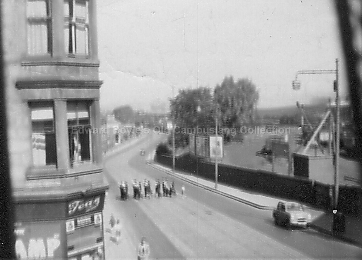
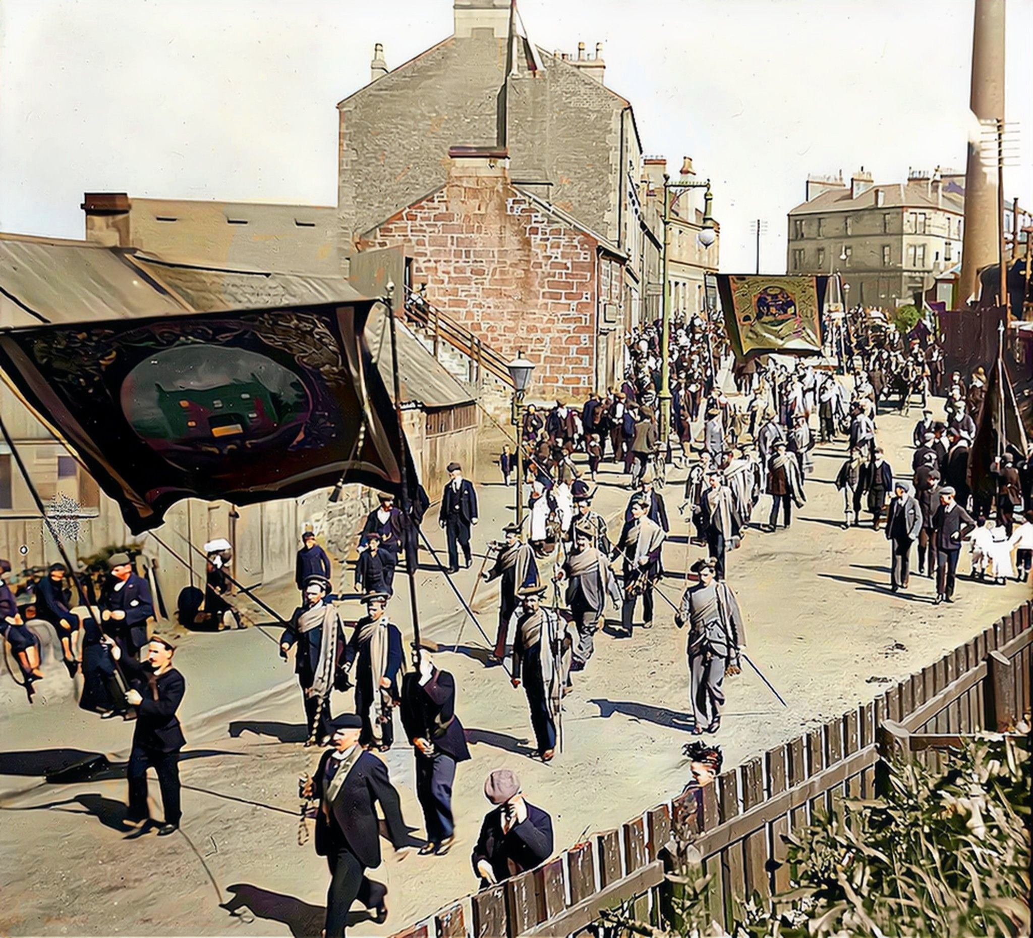 Friendly society parade coming from Westburn Road direction |
 |
 |
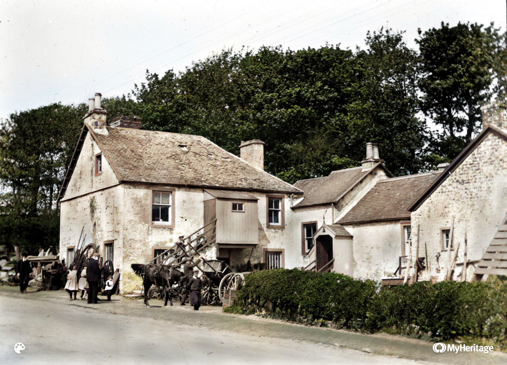
Dalton smiddy |
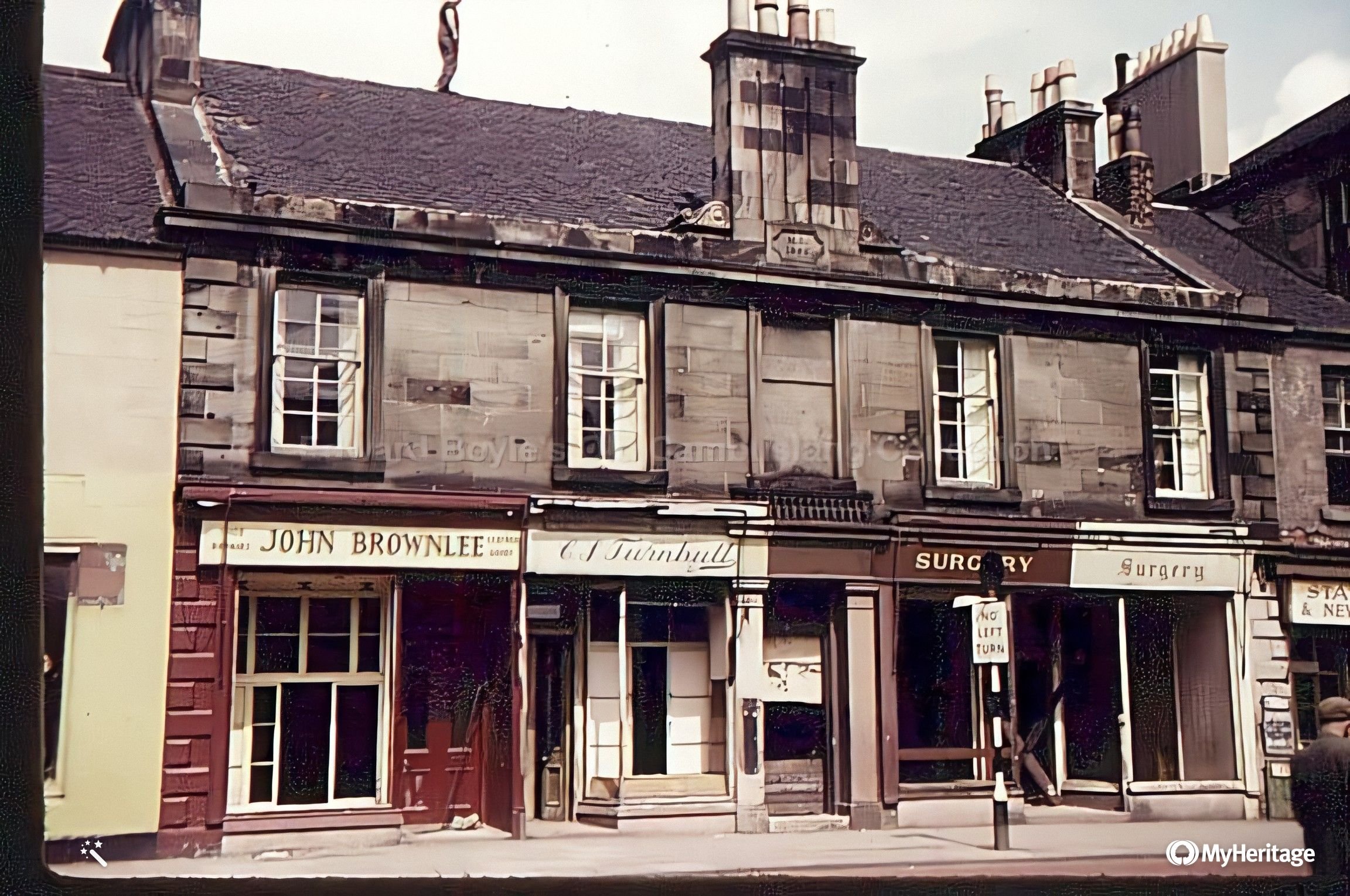 Main St across from Black Bull pub |
 See the bings in the distance |
Cairns Better Photo |
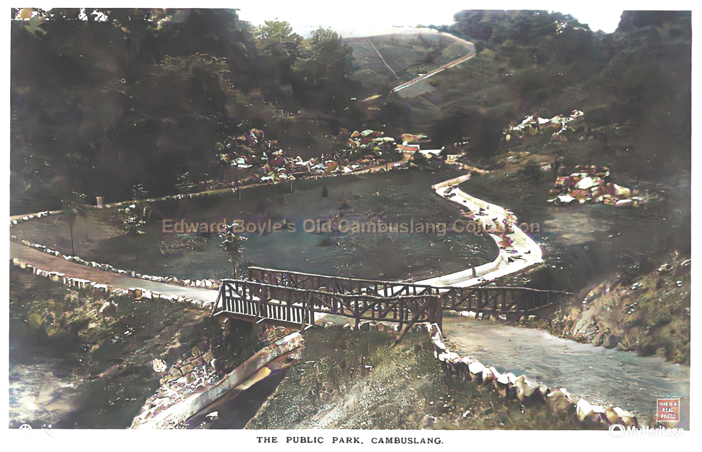
Public park |
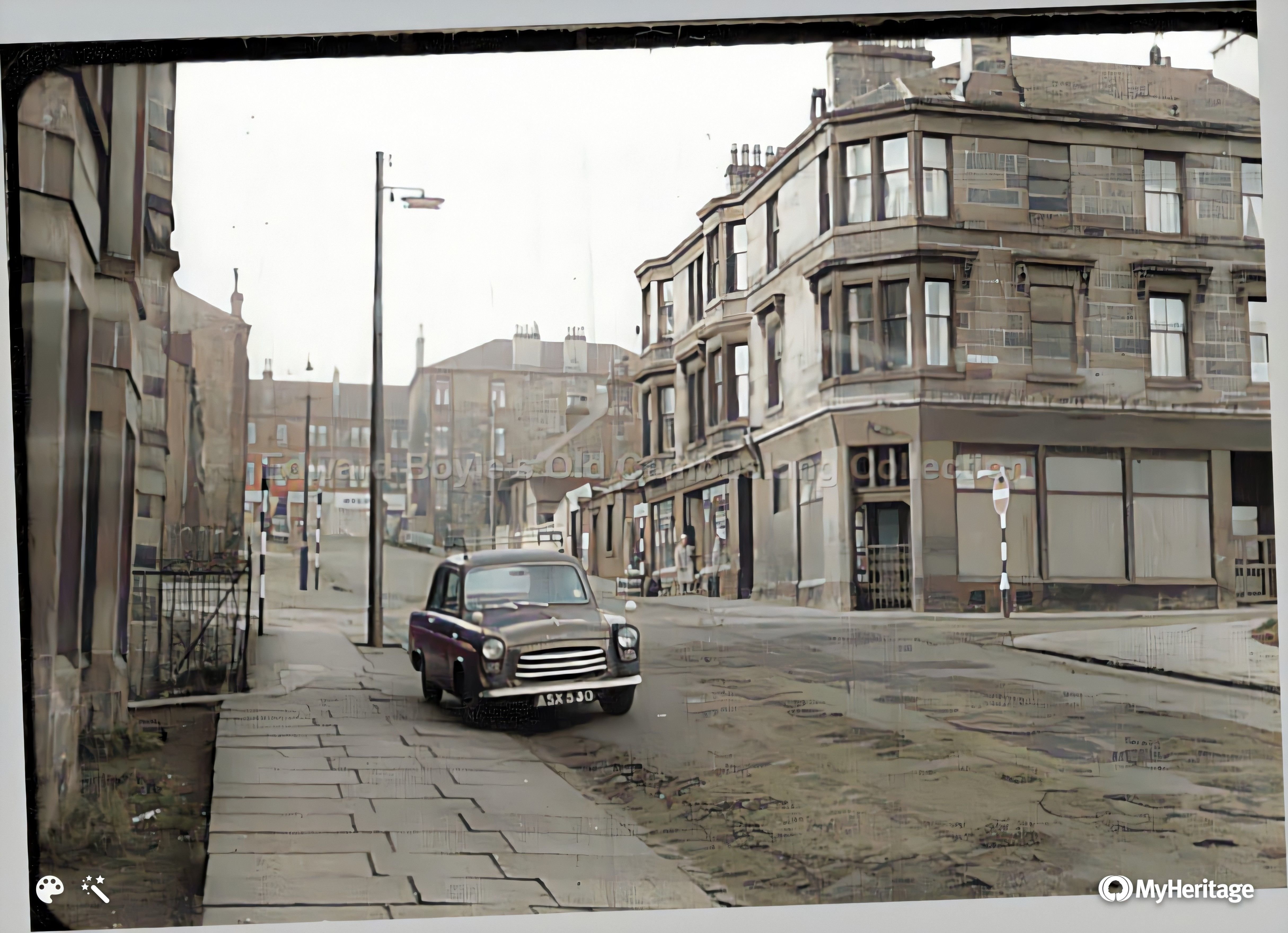
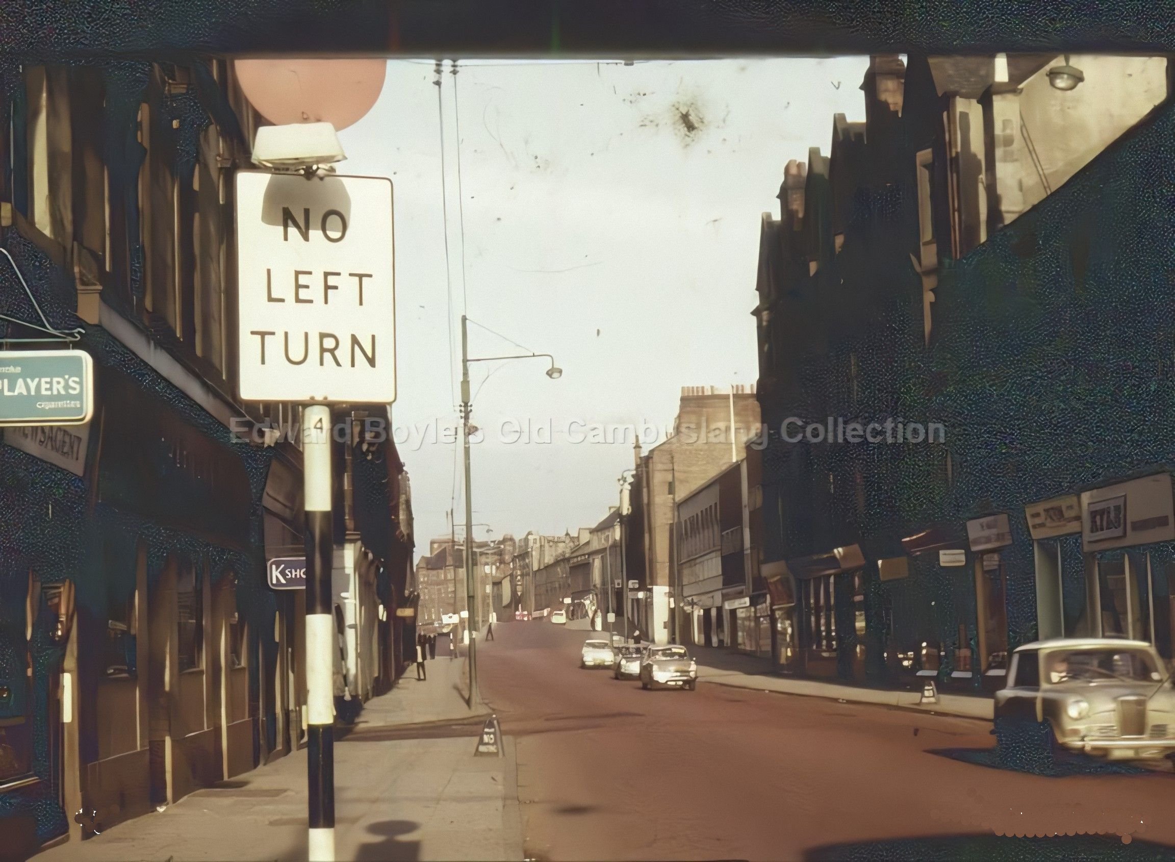 Main St 1961 |
 See the corner of Clydeford Rd in background |
Colebroke St and its junction with Park St |
 Park St |
 Taken from station entrance |
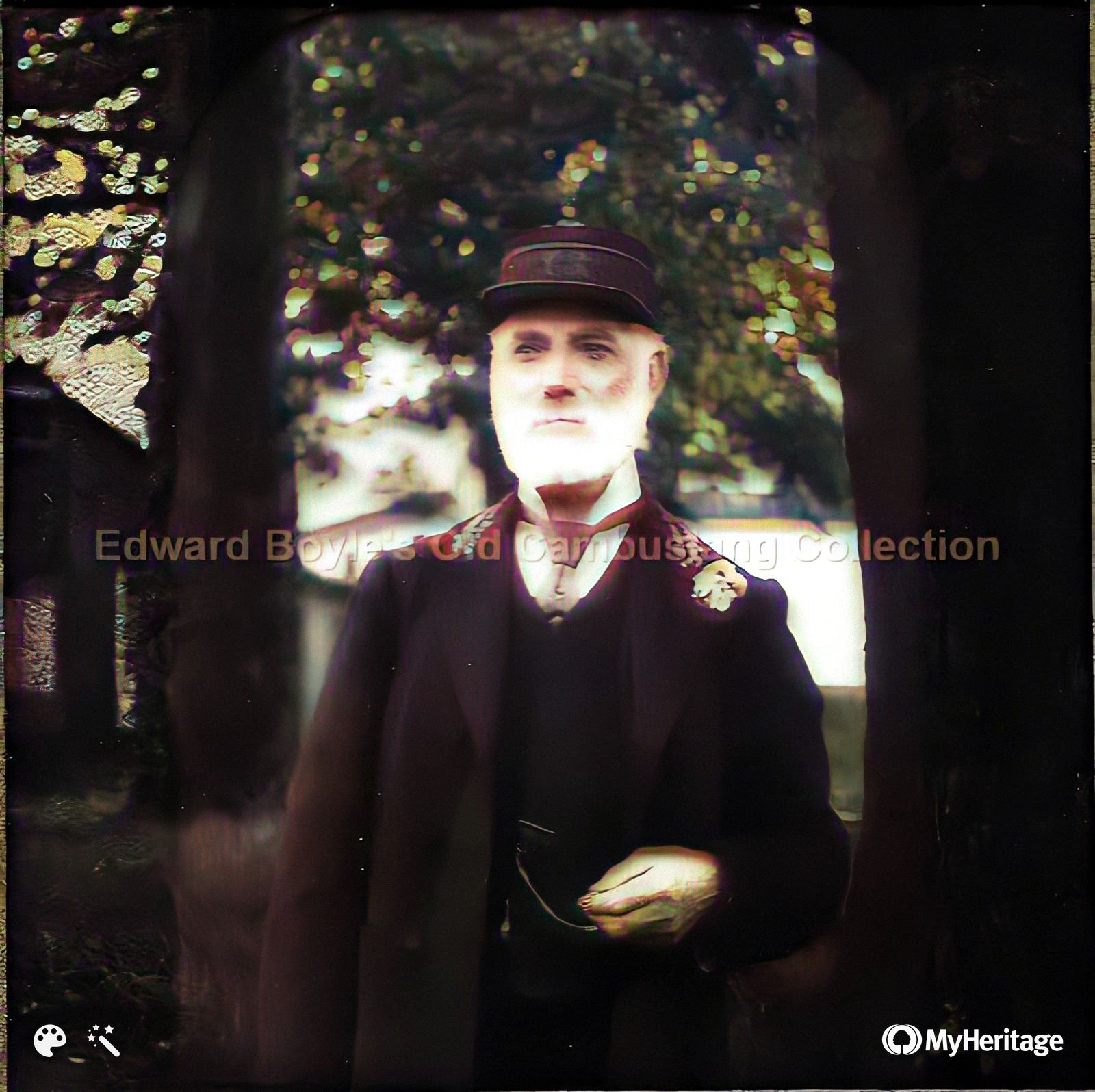 Station master |
| Rangers football ground |
 Sauchiebog |
 Greenless Rd |
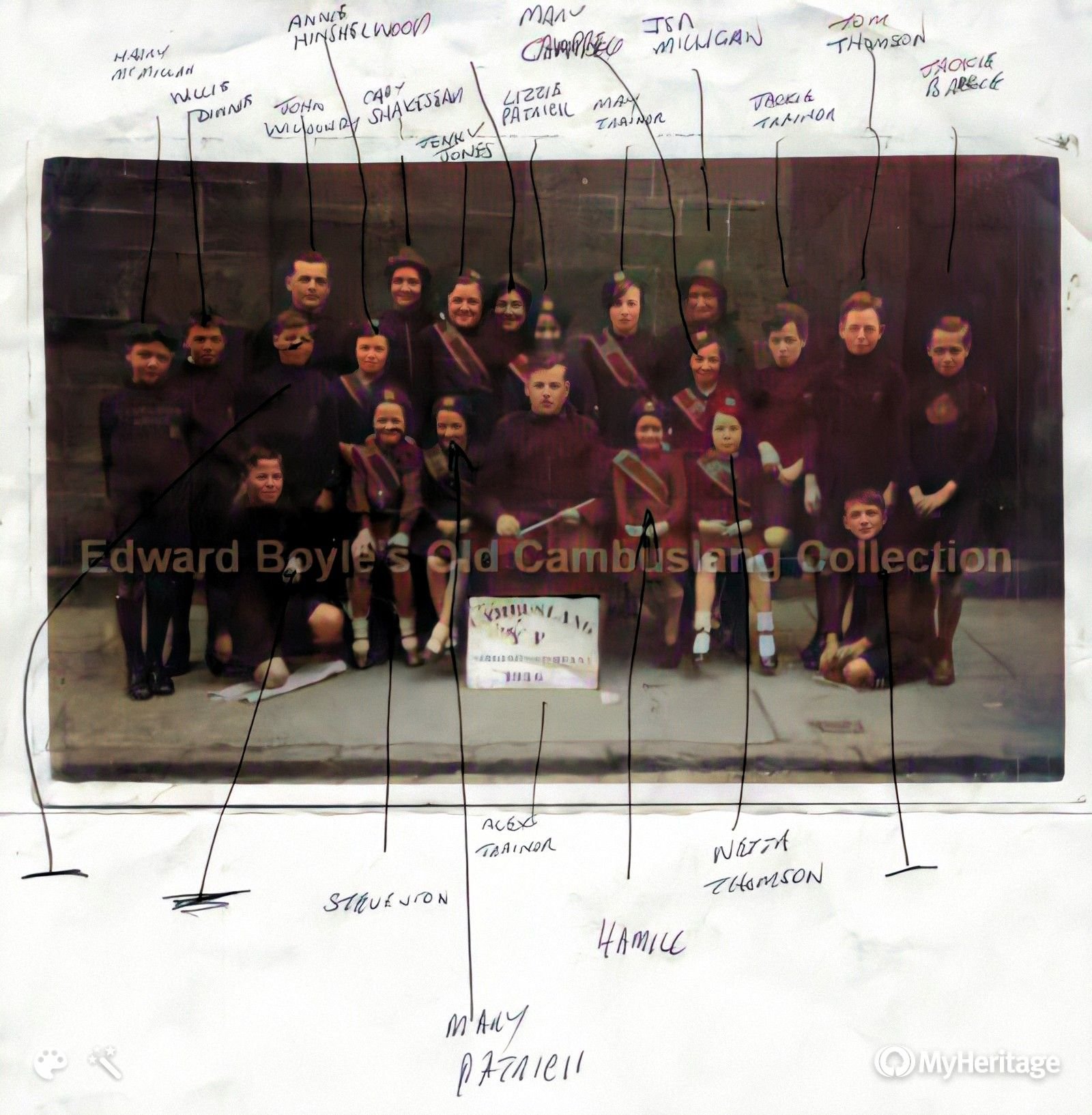
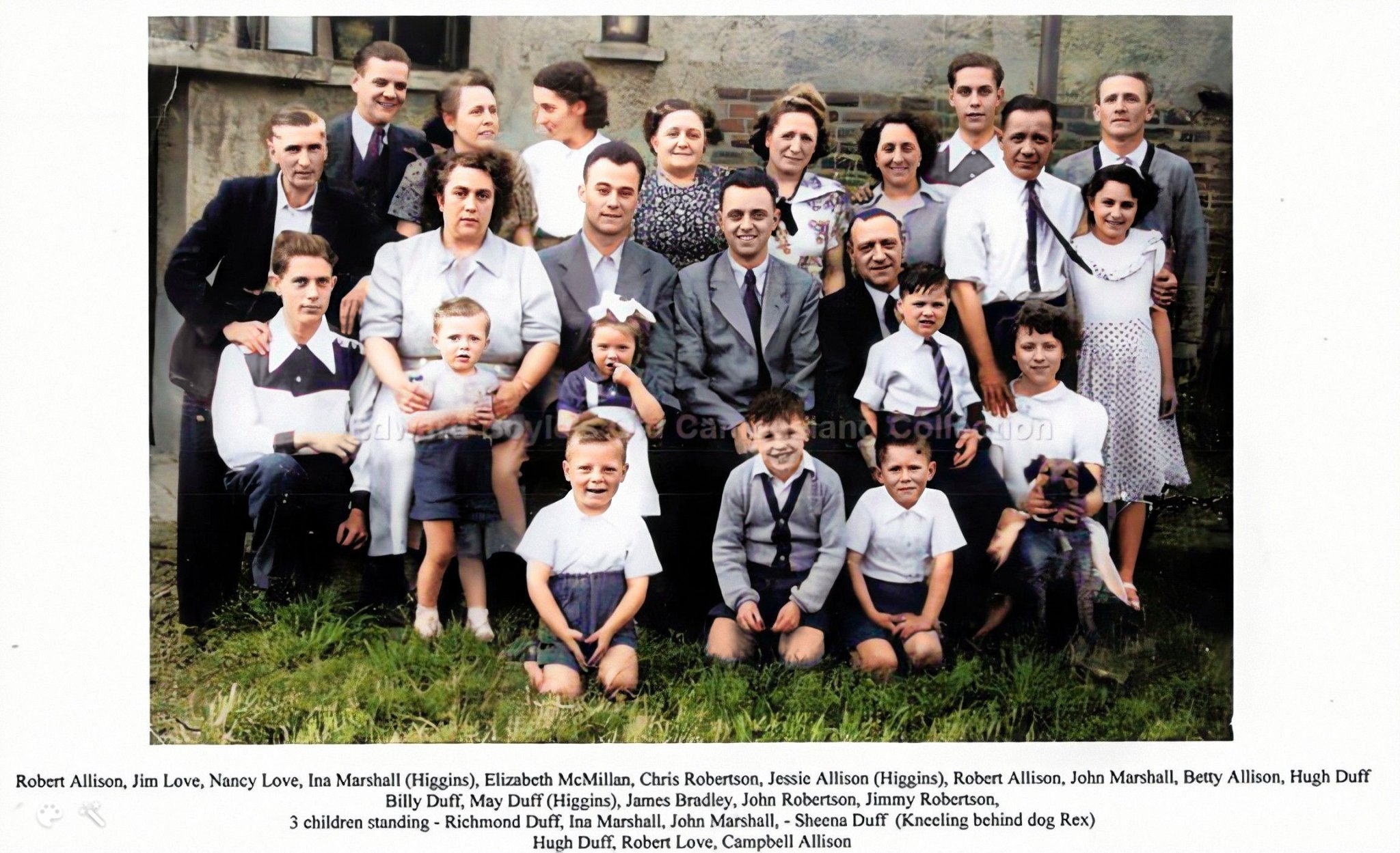 Please let me know if you can recognise anyone (Elizabeth Macmillan is Gordon Dinnie's maternal grandmother) |
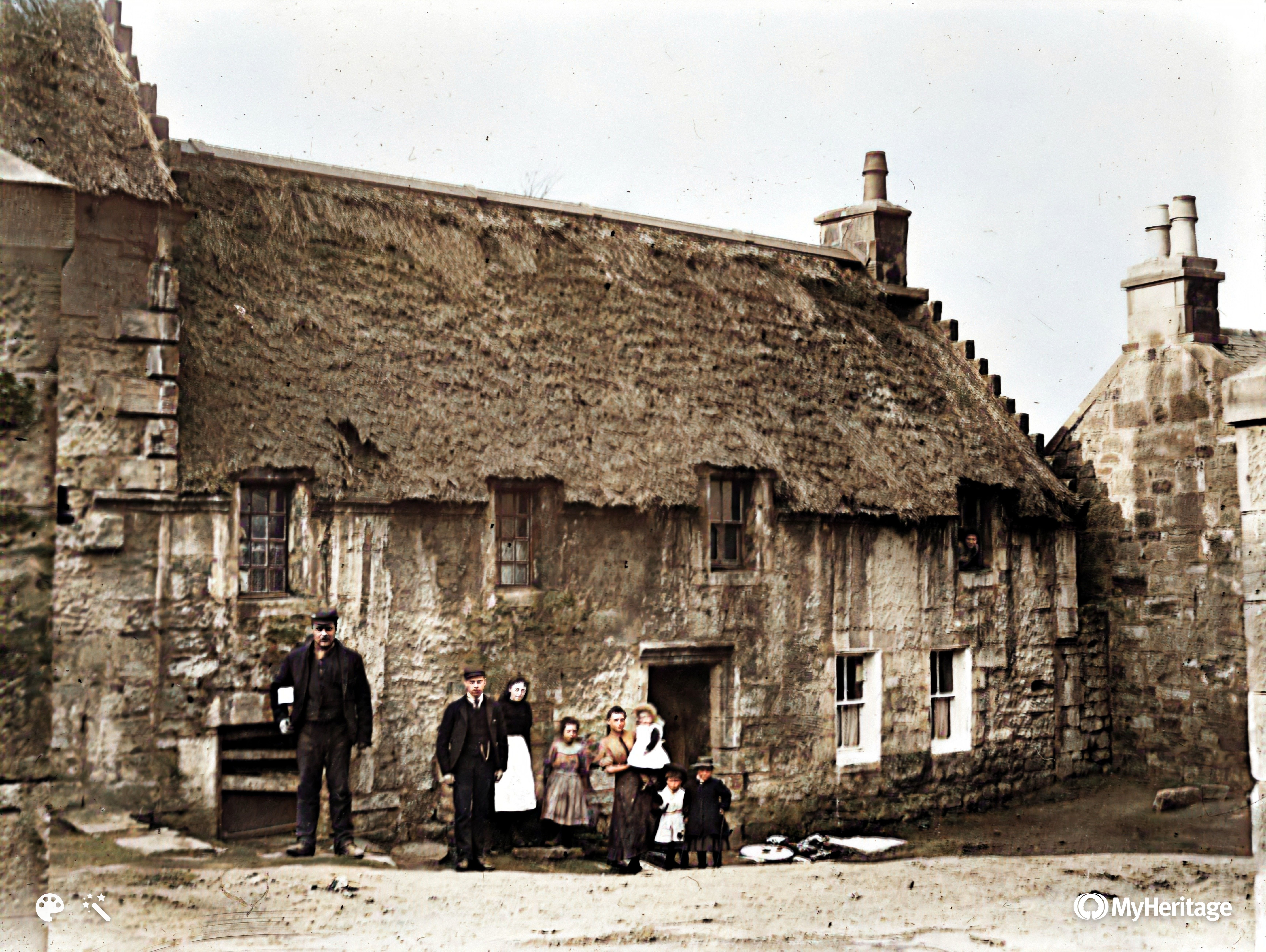
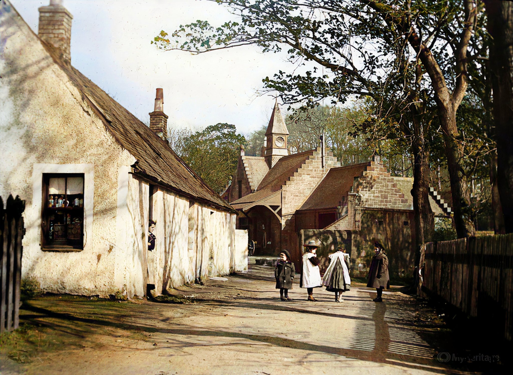
 Newton Miner's Rows |
 Looking up Park St. Taken from Church St. See 'Ben Gateside' in distance |
 Main St |
 Hamilton Road with Westburn Rd on the right |
 Does anyone know this road? |
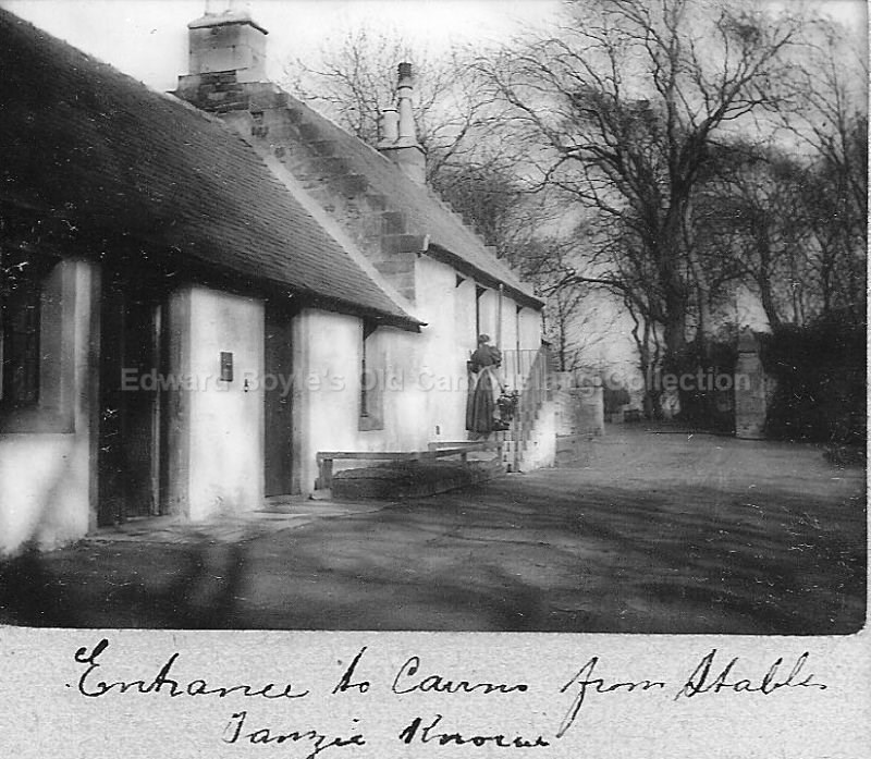
Entrance to Cairns Estate |
 Across from Black Bull pub |
 Bain St towards Morrison St |
 View from Greenlees Rd |
 Looking towards Silverbanks |
 ? I think this is the building beyond Photographer must be standing near railway line |
 Temp Shops 1961 |
 Hallside Steel works entrance ? |
 Morrison St toward Bain St |
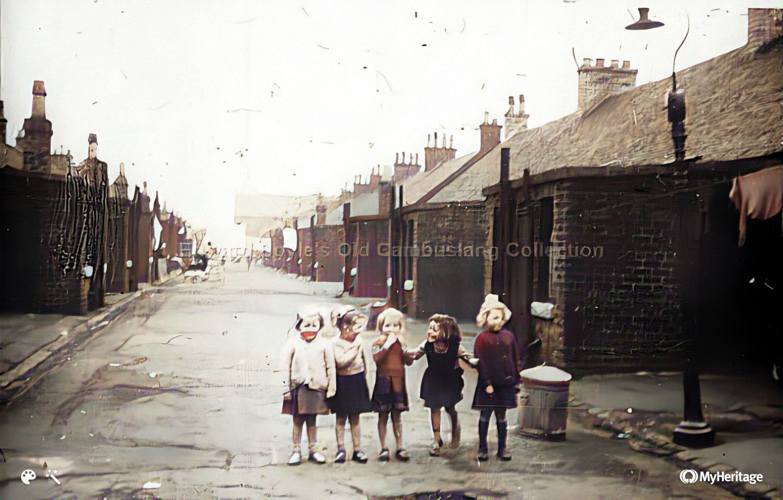
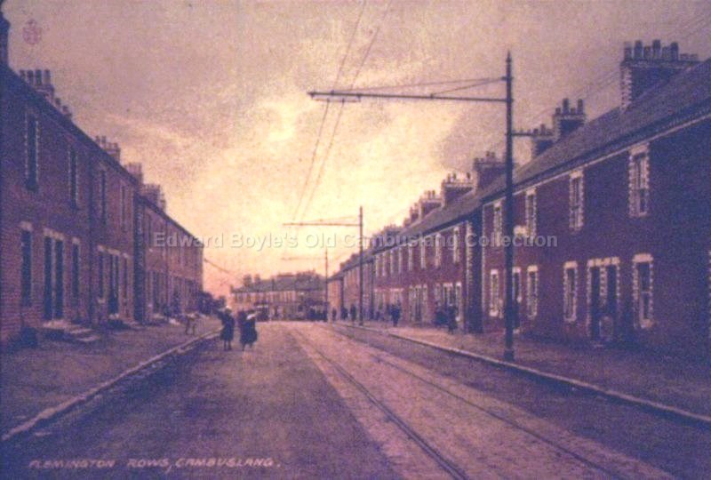 Flemington Rows |
 Junction of Westcoats Rd |
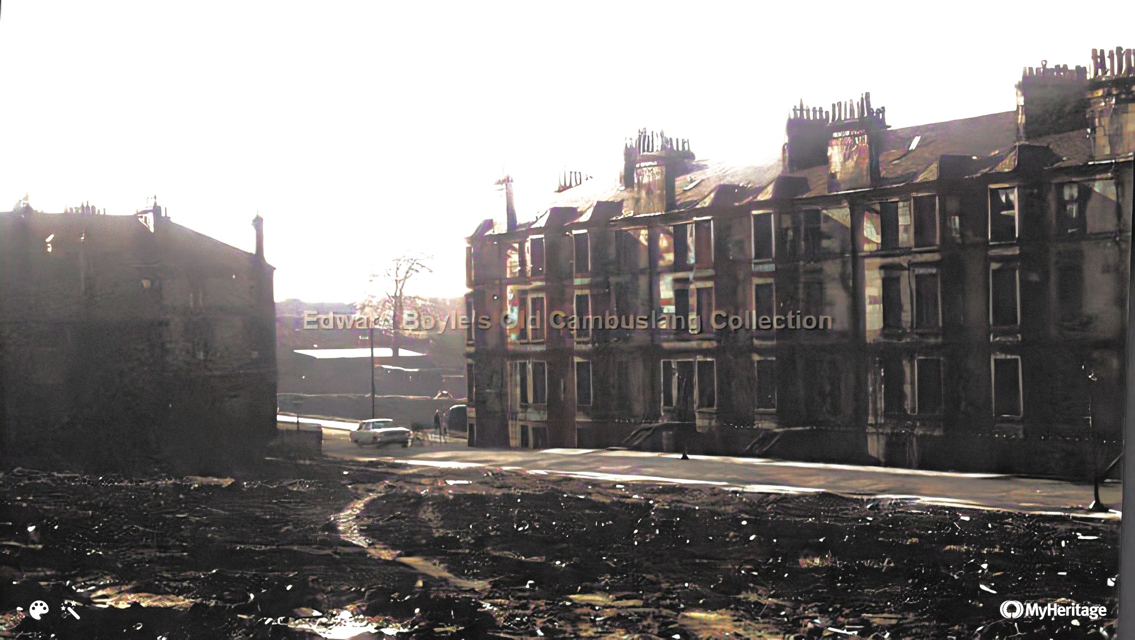
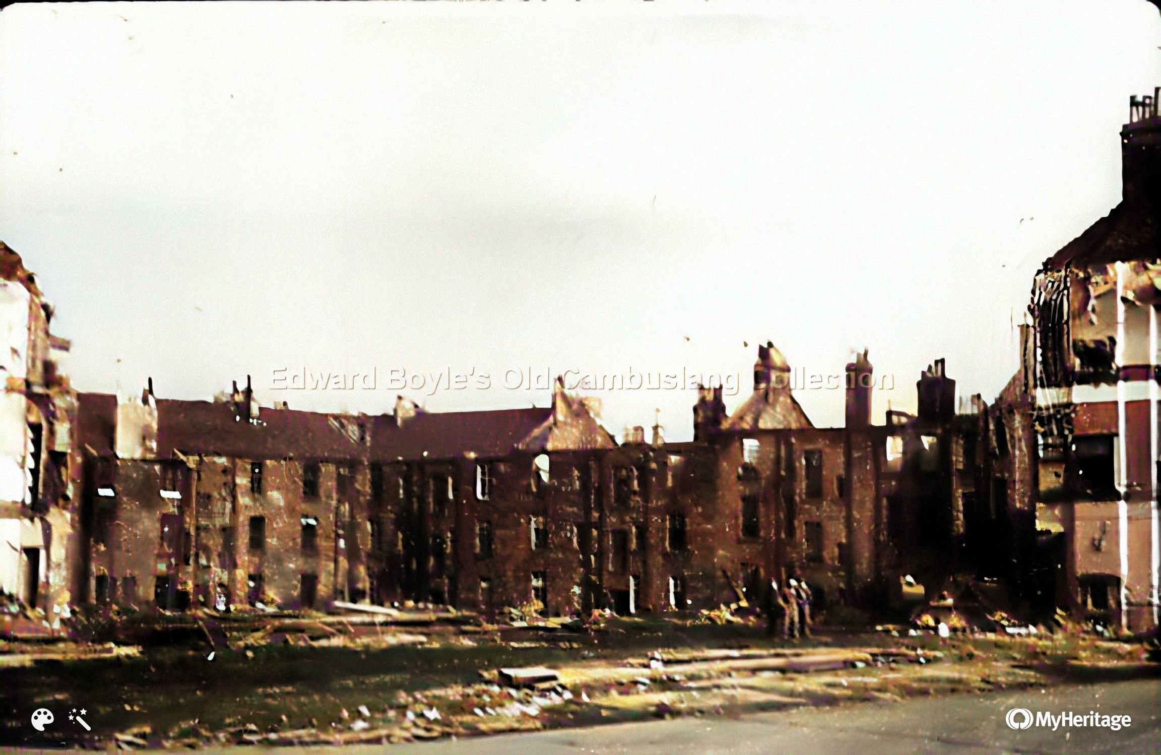
What's left of Colebroke St |
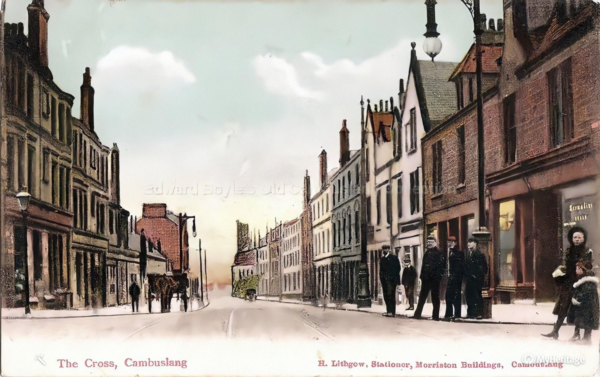
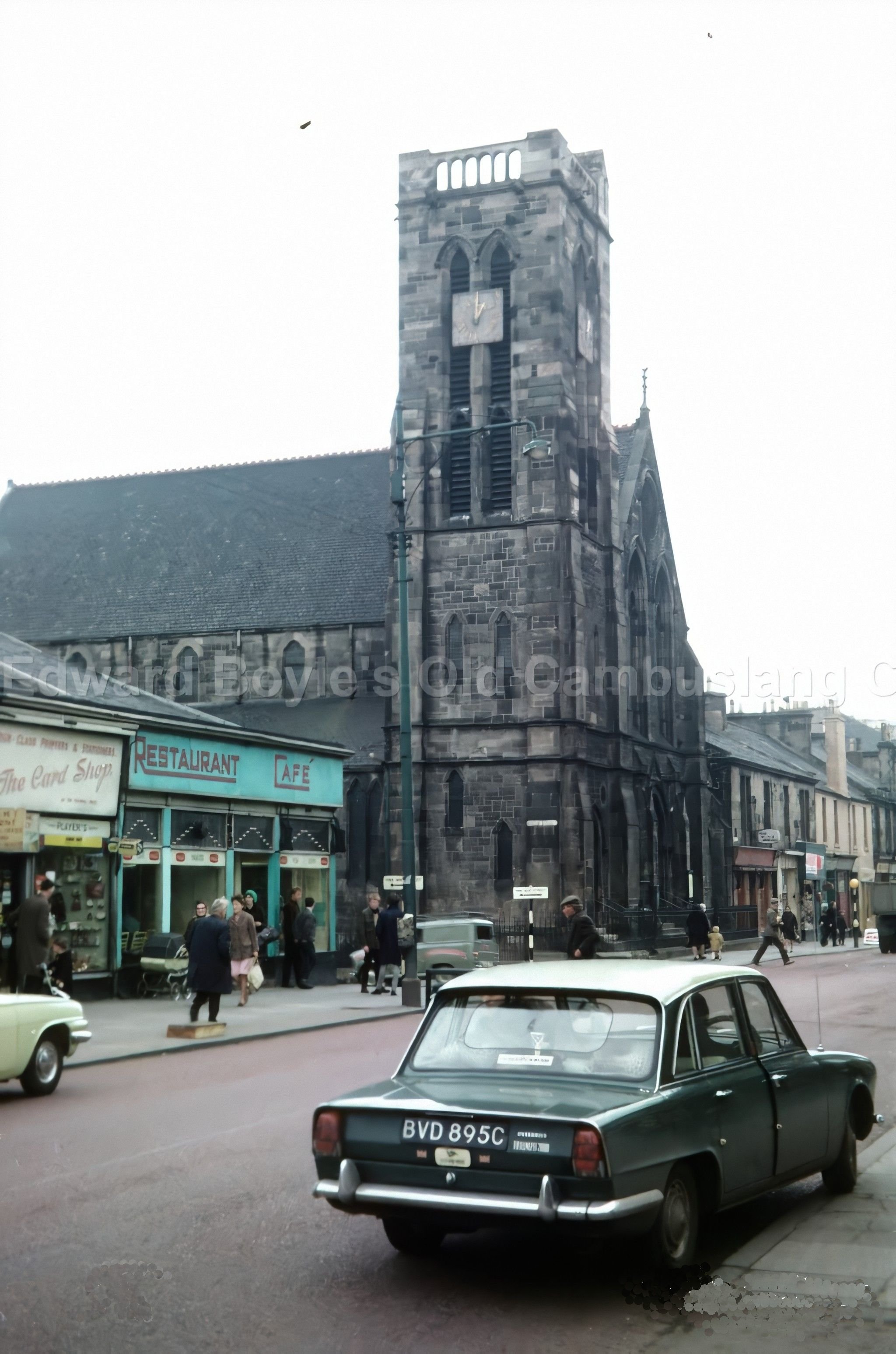
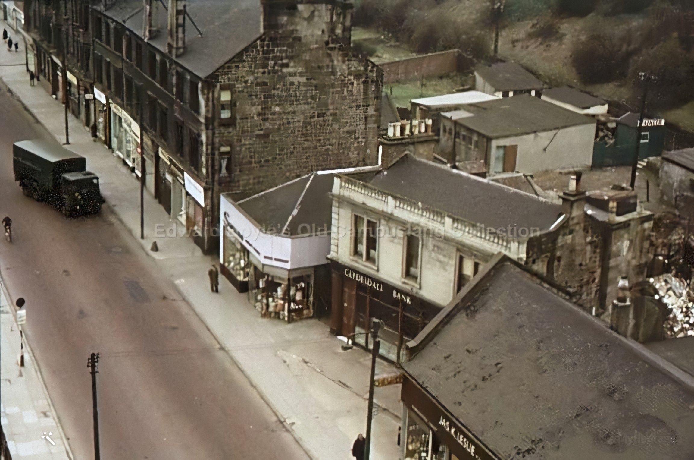
 The Cross |
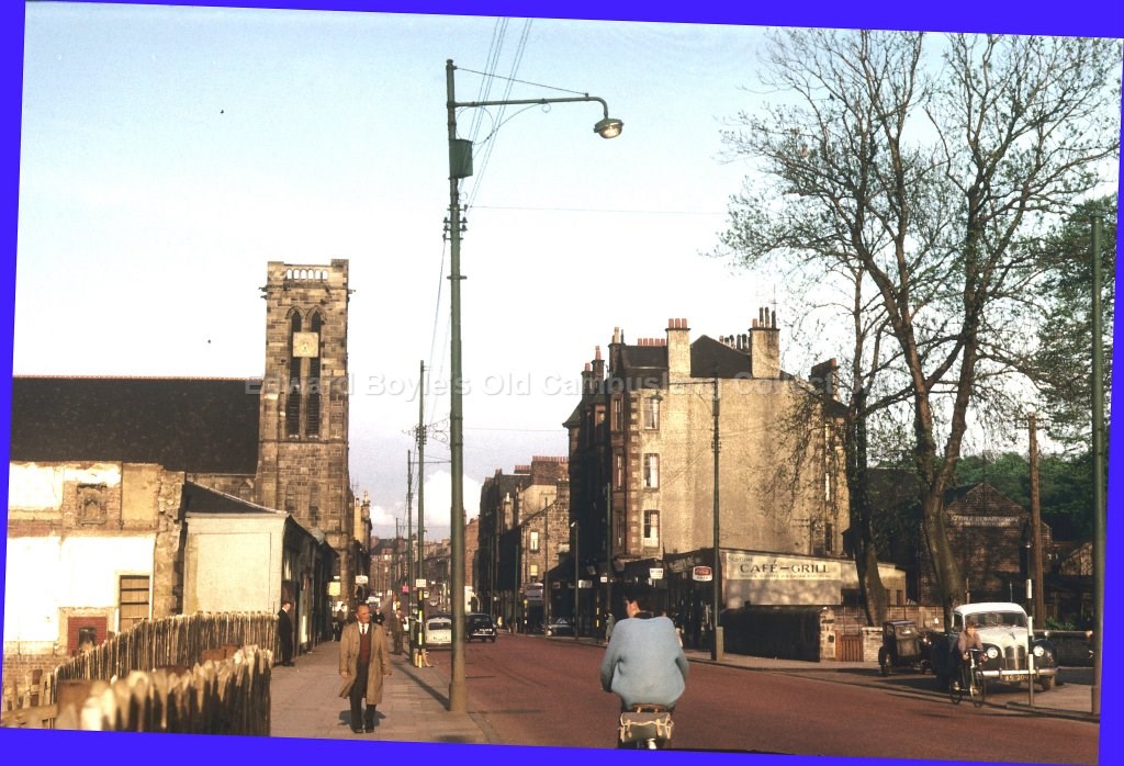
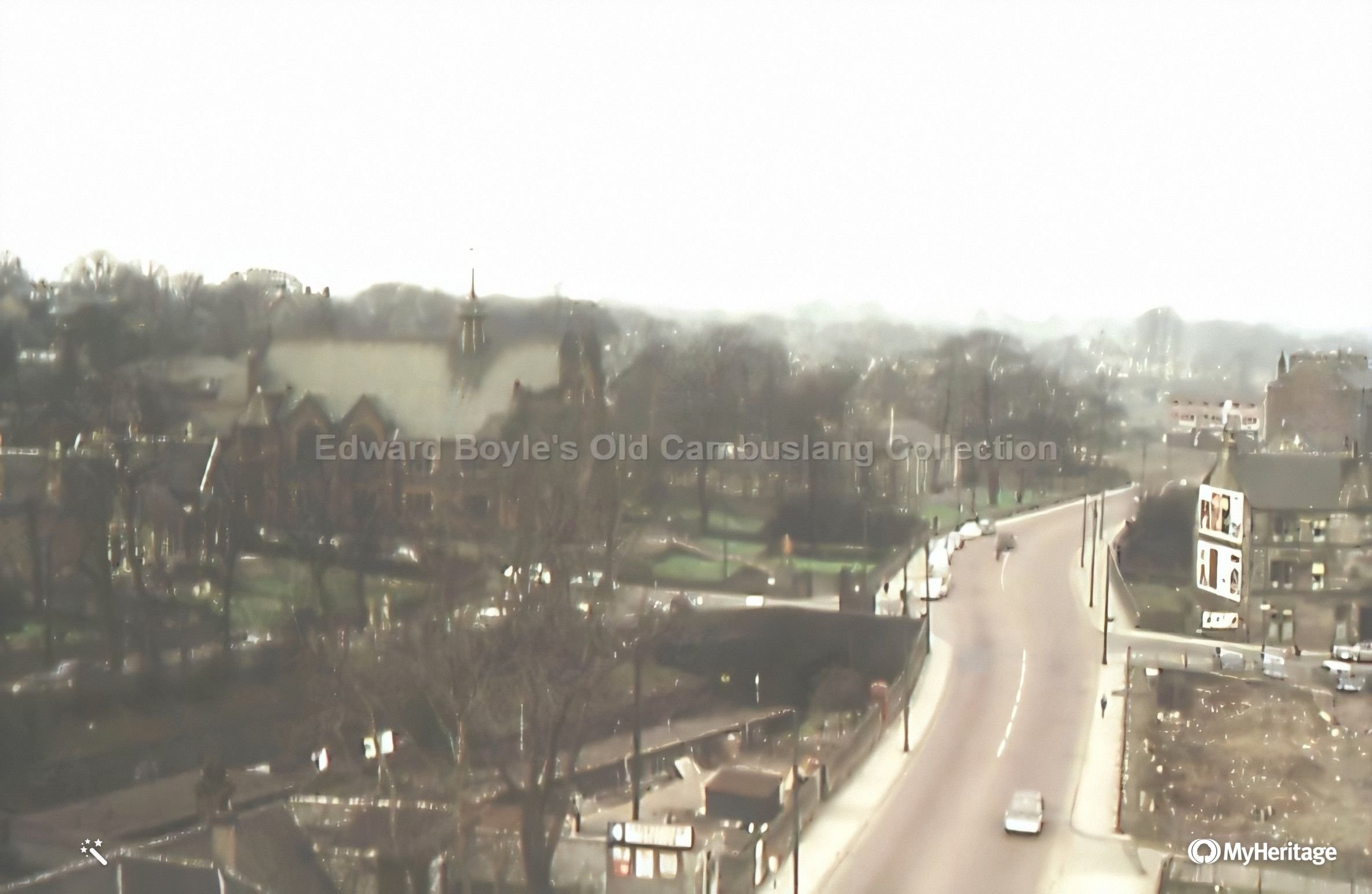
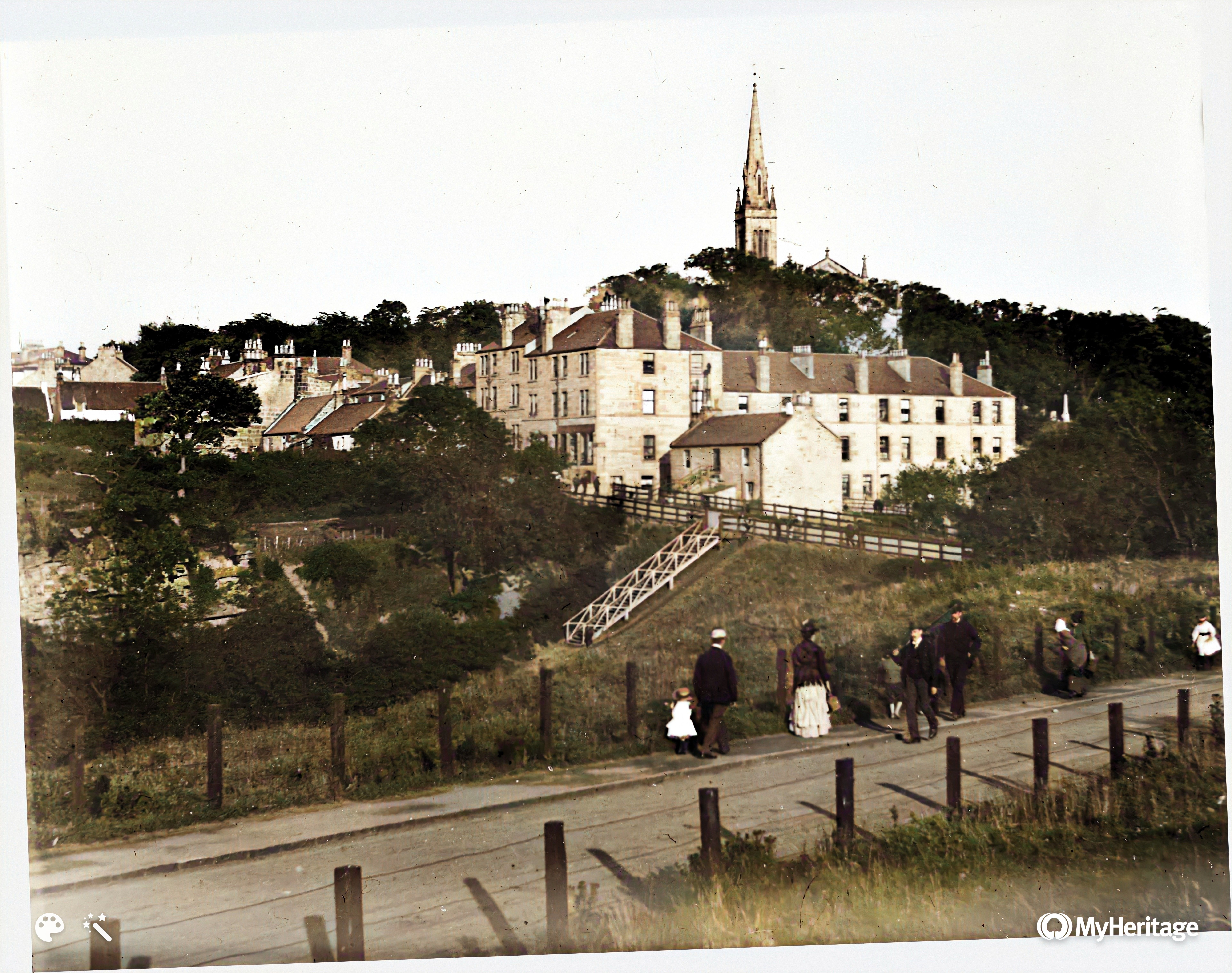
 View from top of Rosebank Church up Mains St |
 Police Station |
| spare | 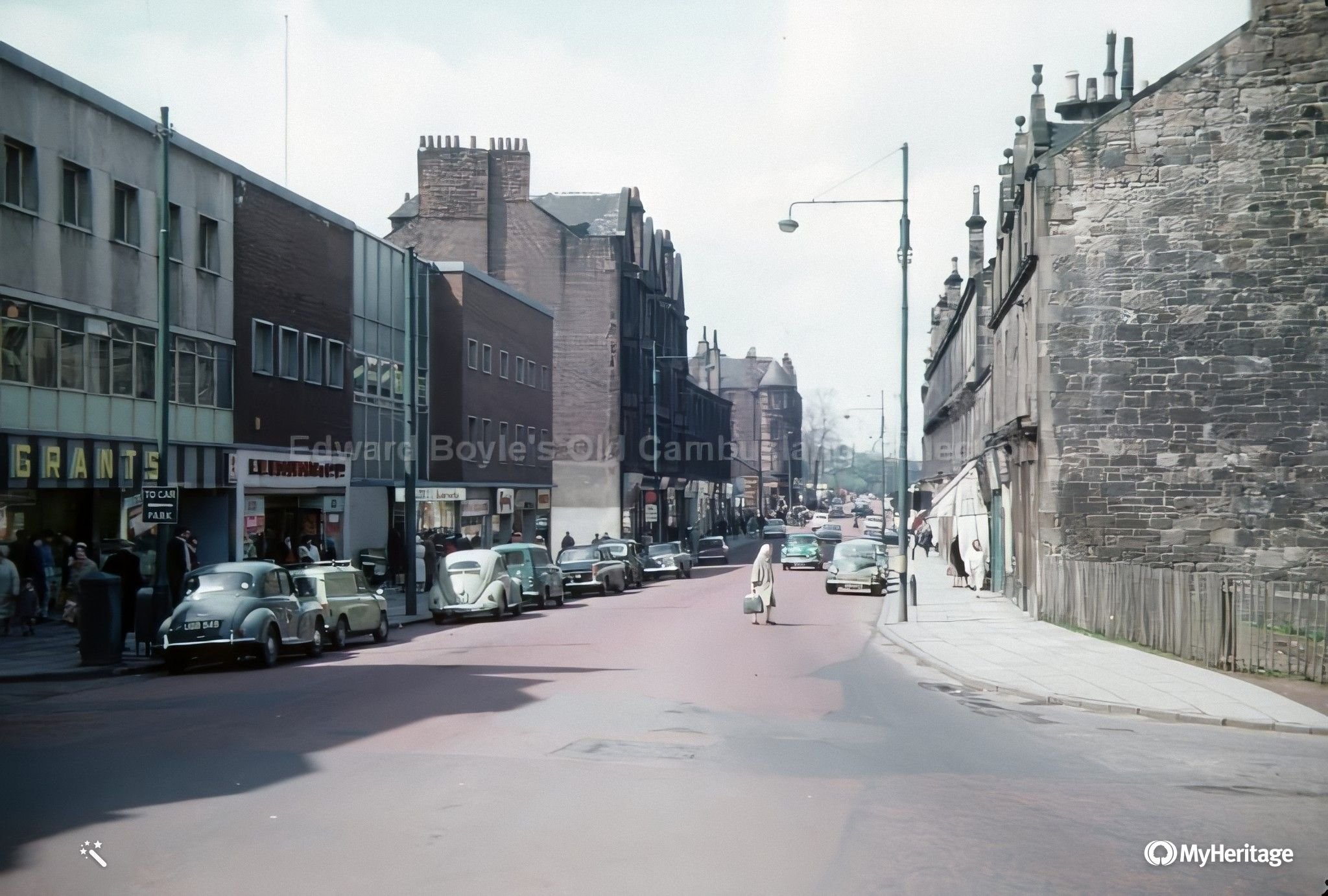 Mains St. Remember Grants the furnishers? |
 Park St looking thru gap towards Bridge St |
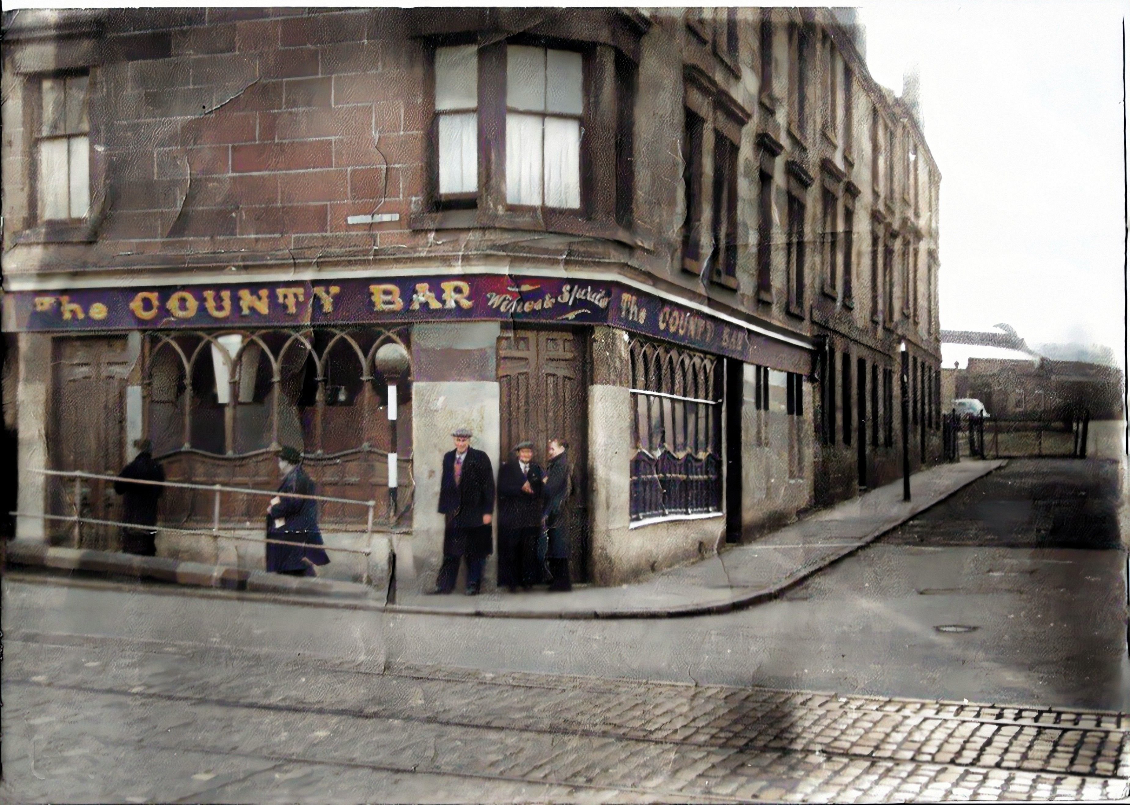 County bar Silverbanks |
 Rare view from Vicarland Rd |
 ? |
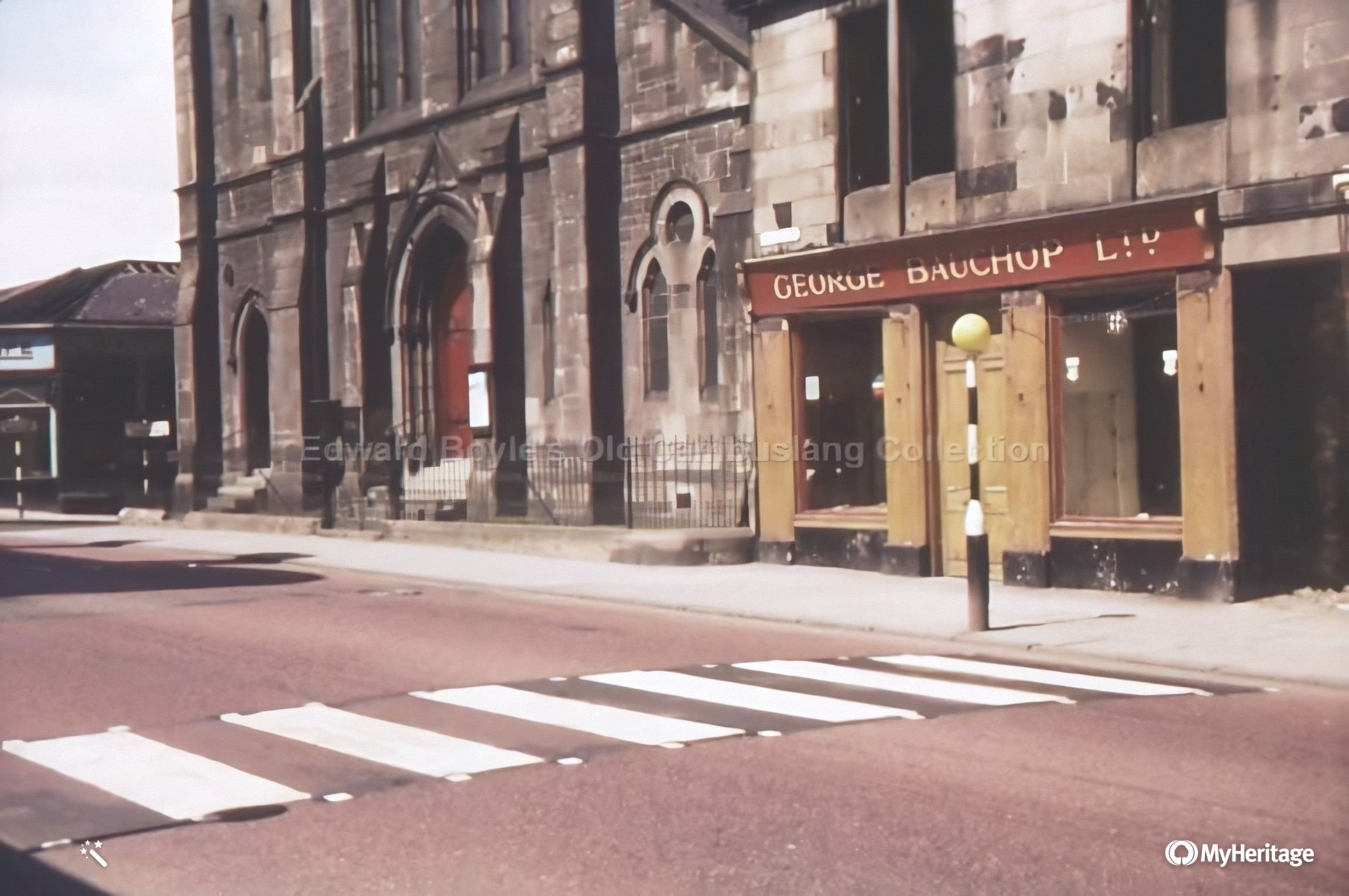
 Empire cinema |
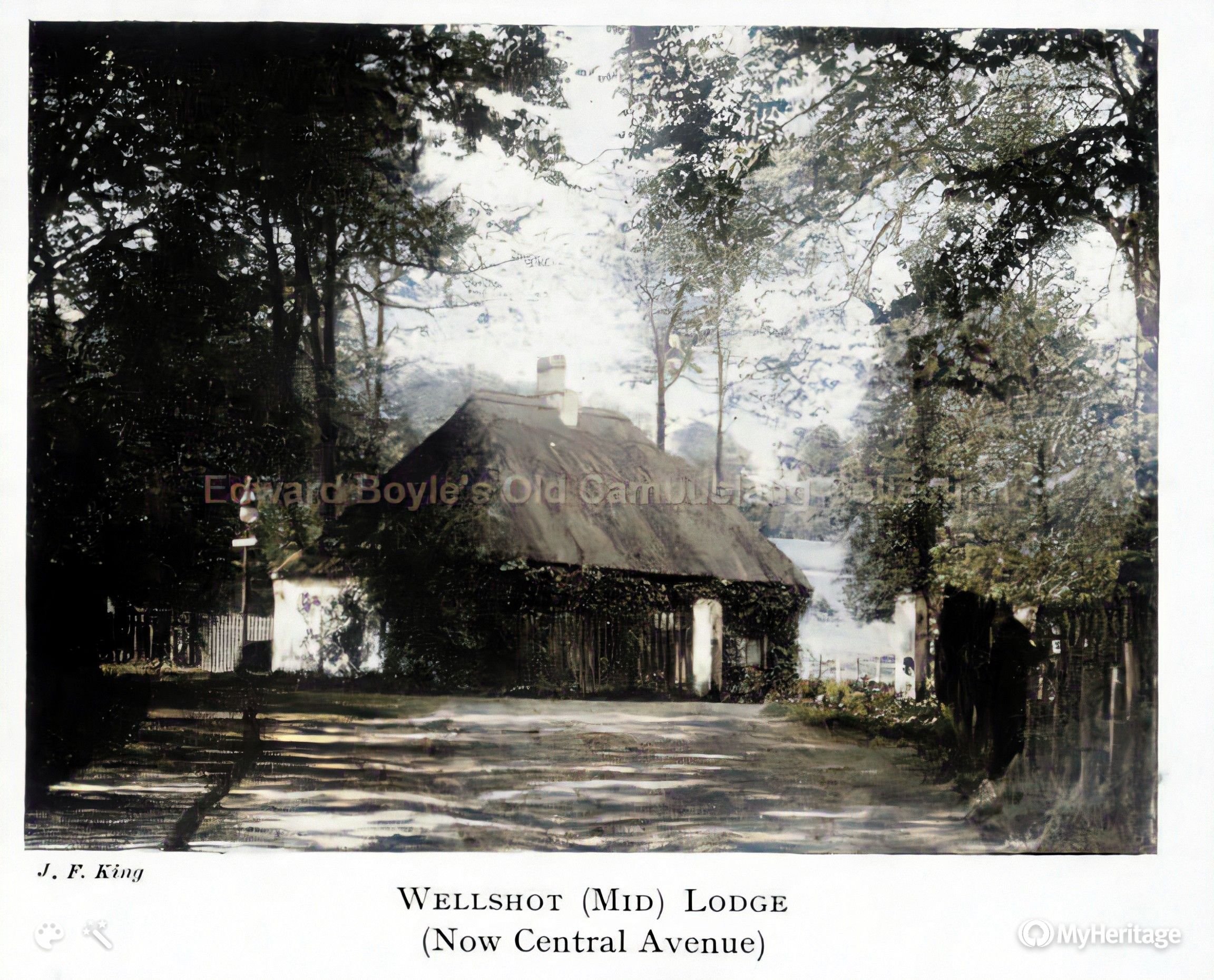
 View to Wellshot Dr |
Clyde Iron works in distance. See Clugstons work on the other side of the Clyde. Celtic FC were considering this 'contaminated' area for a new stadium |
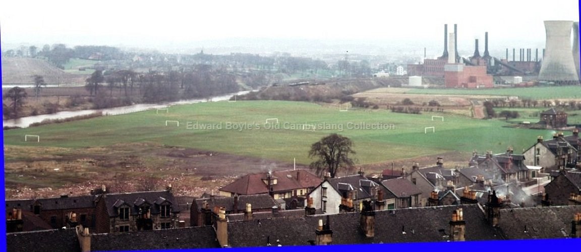
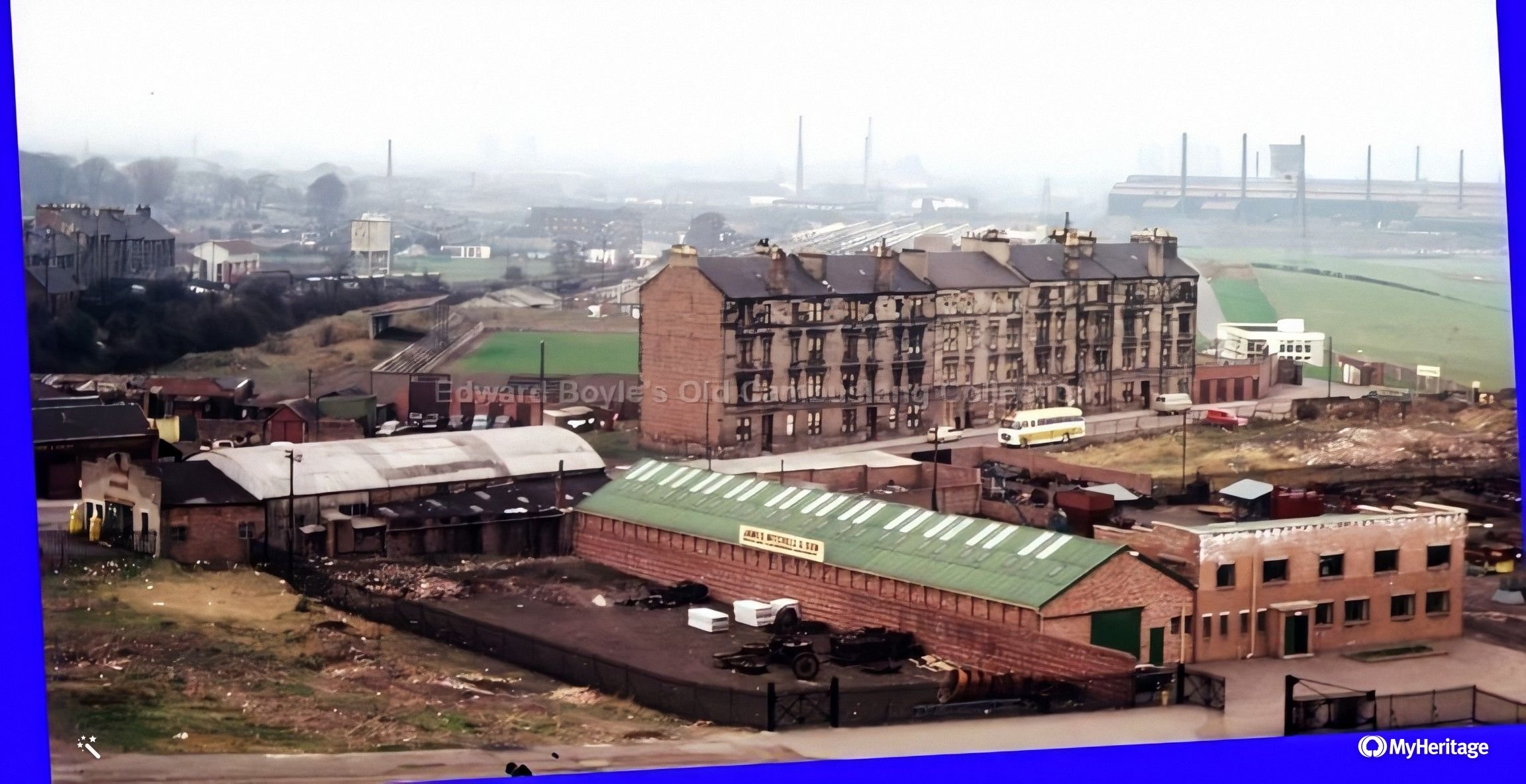 View over football ground with Clydebridge Steel works in distance |
View towards police station |
 Bain St toward Morrison St |
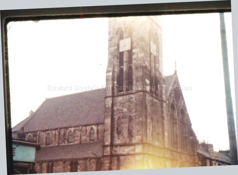 Rosebank Church |
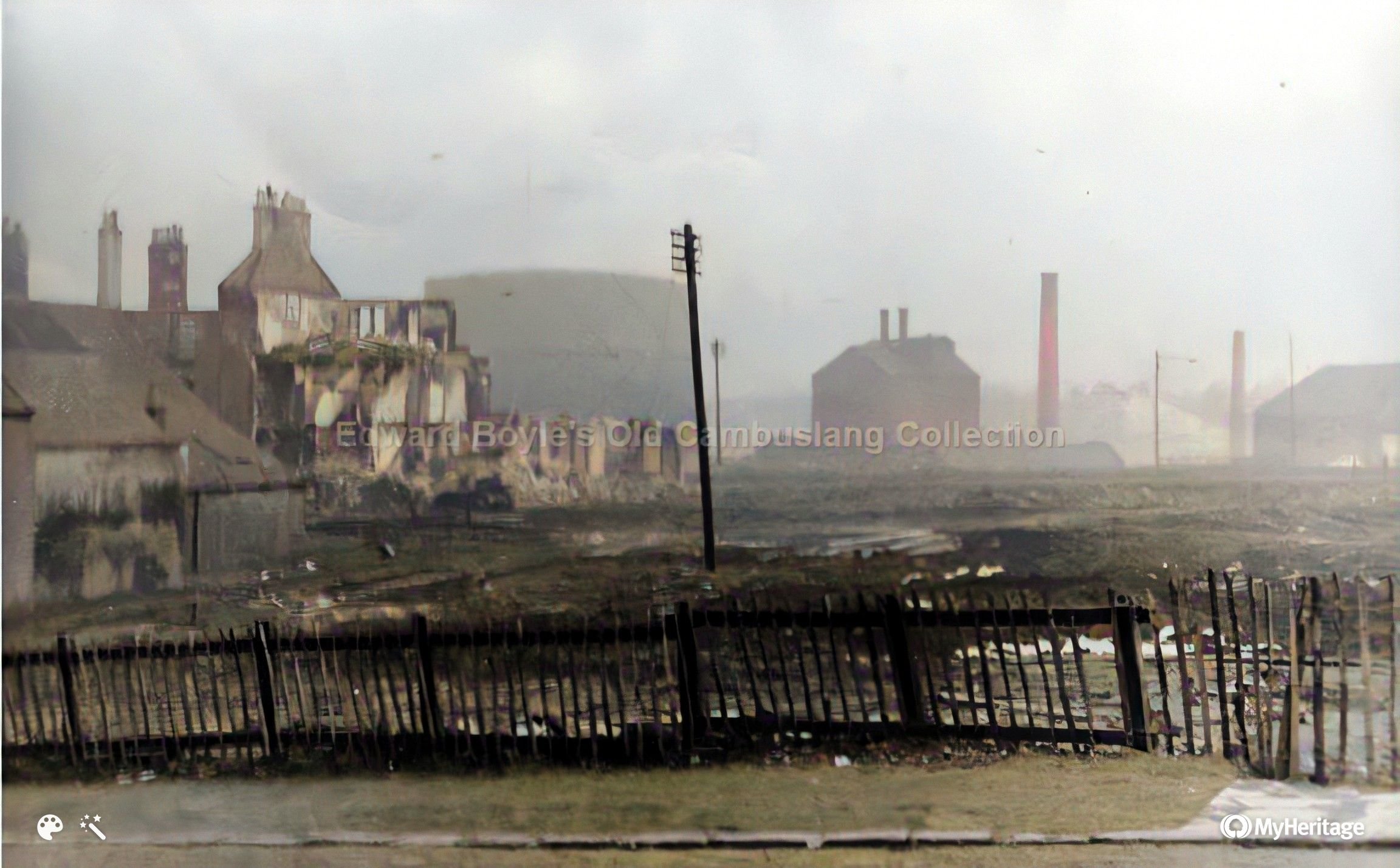 View from Church St looking over Colebroke St towards gas works. Feb 1961 |
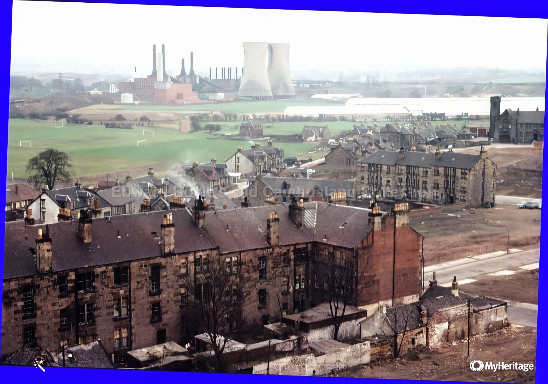
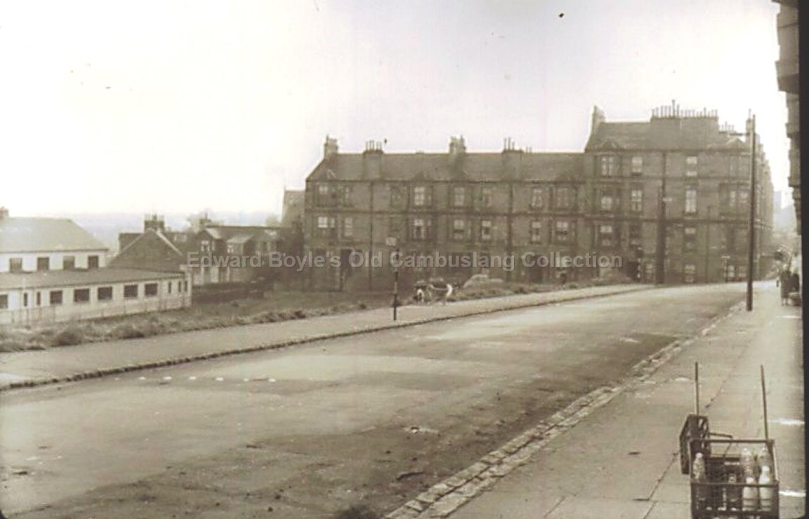
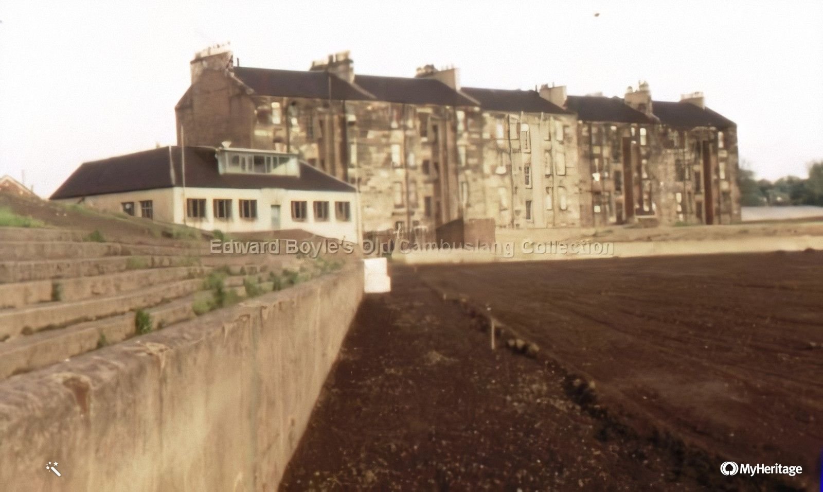 Rangers football ground with Somervell St tenements |
 Park St |
 Clyde area before Clydesmill power station was built |
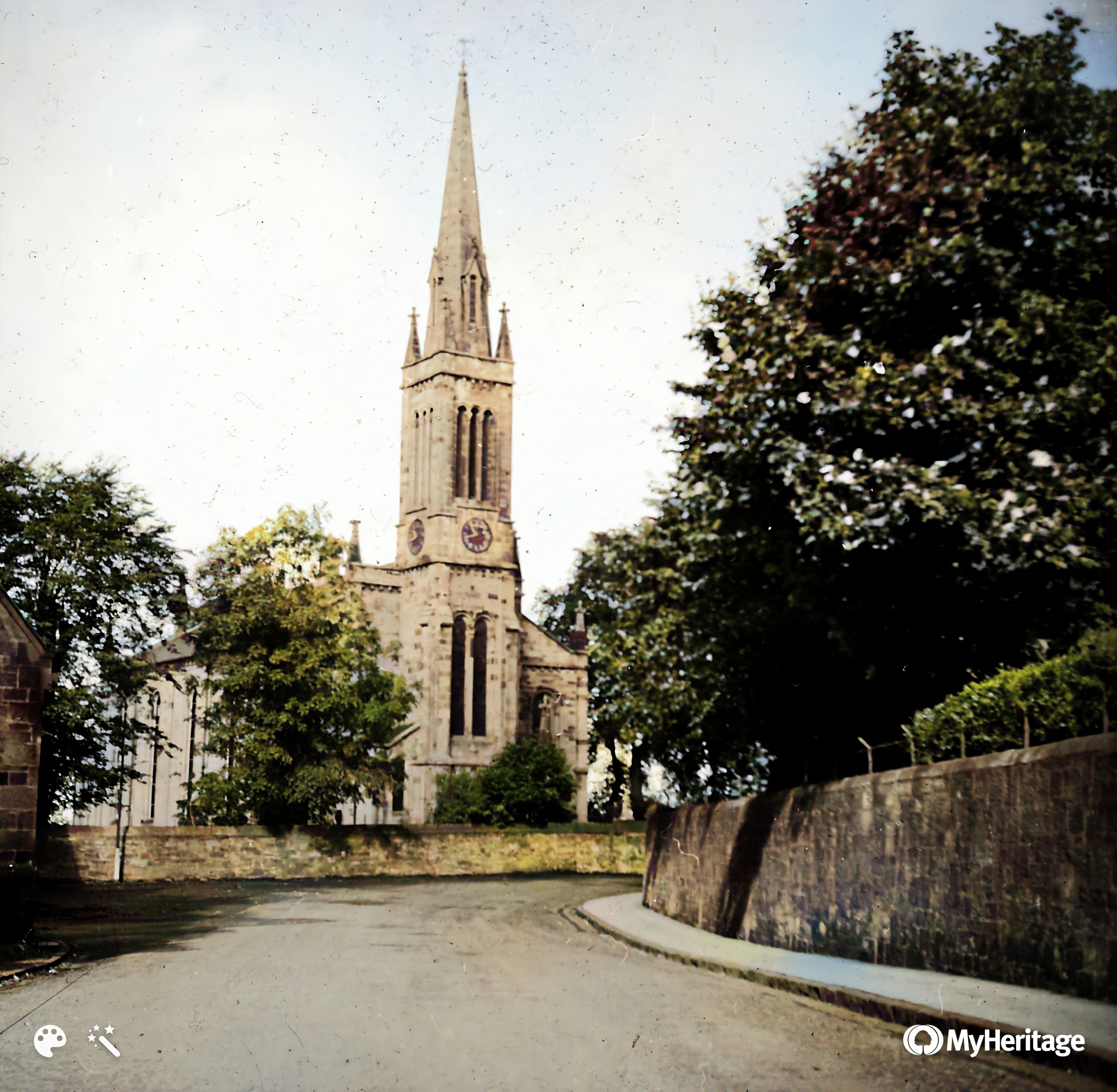
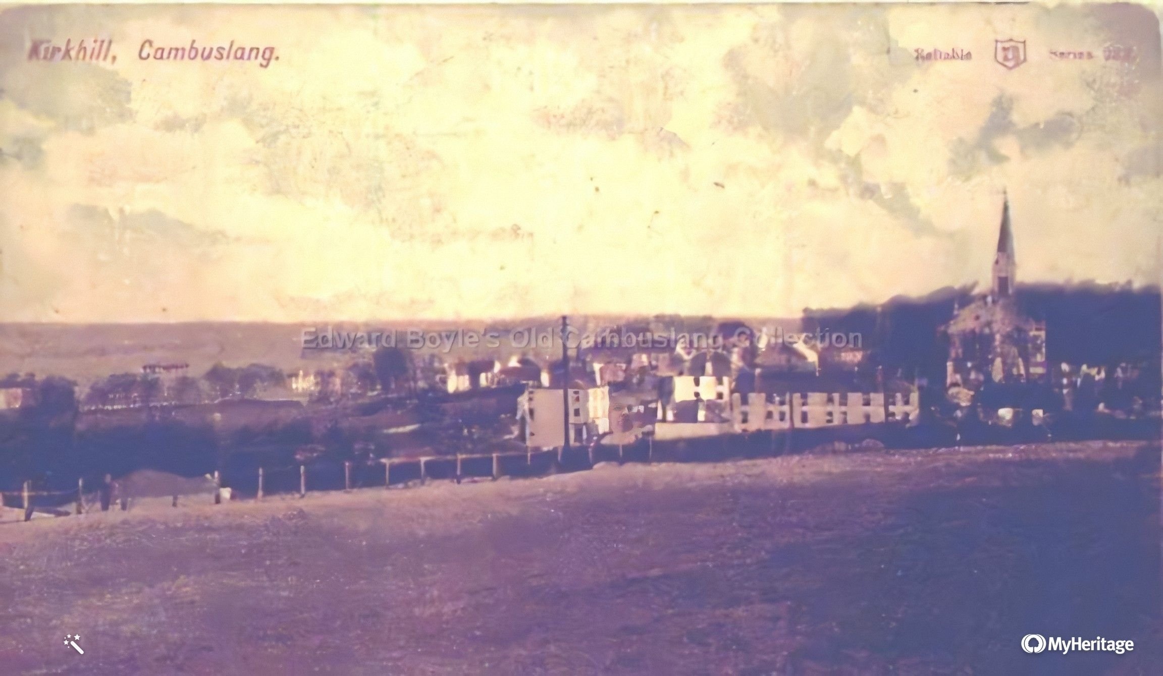
Kirkhill Church |
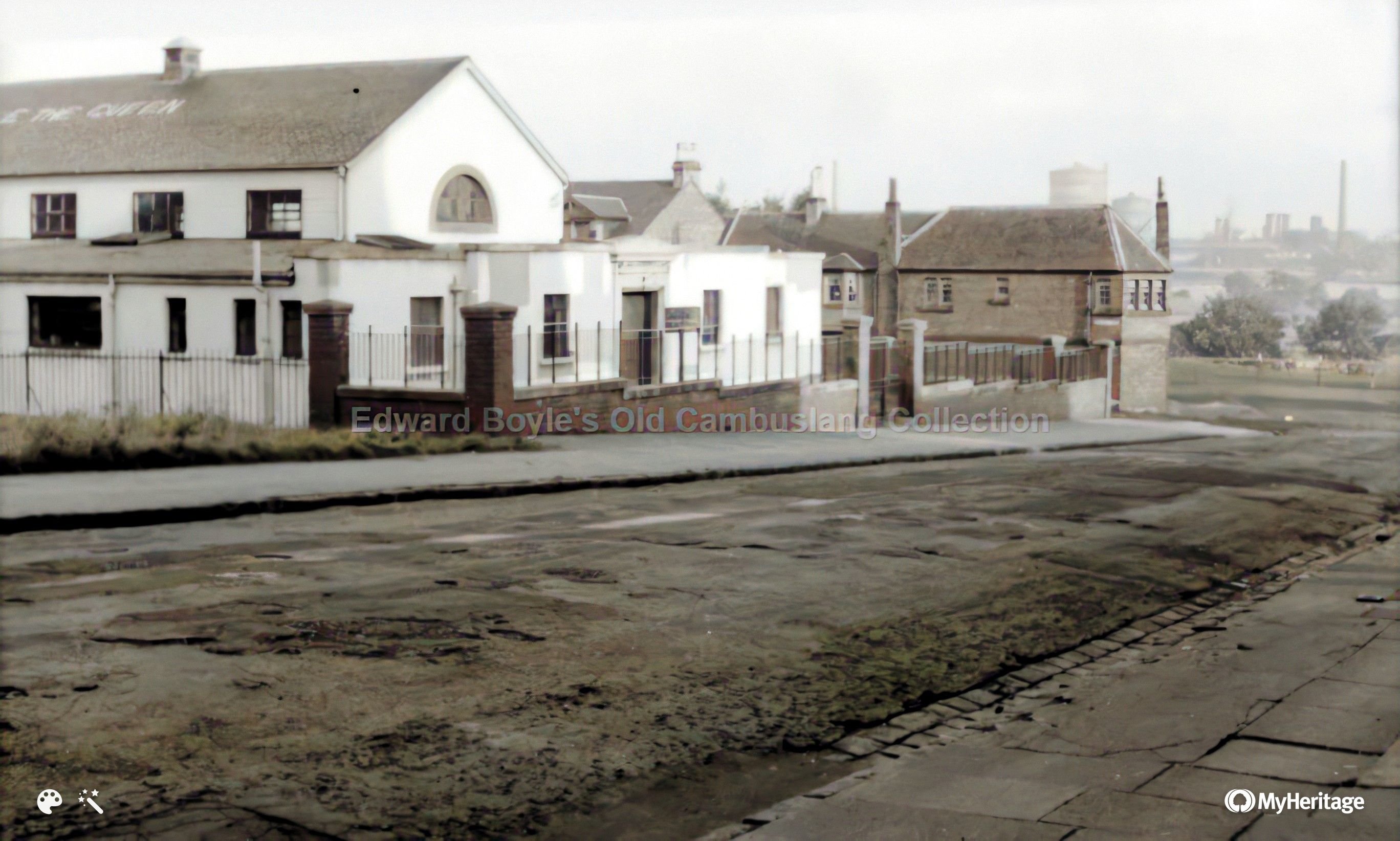
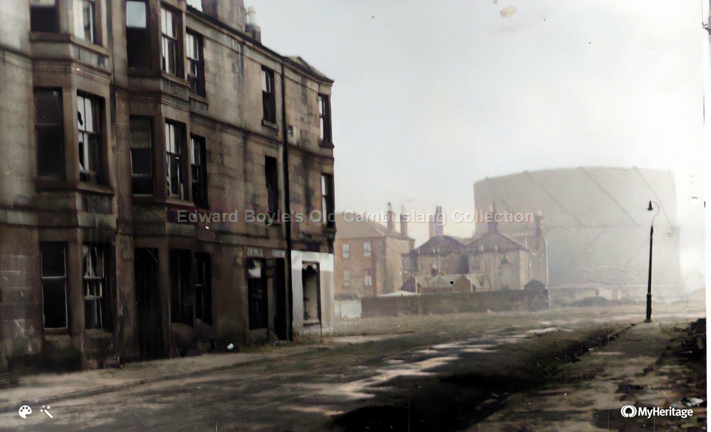 Taken from play park. Looking along Park St to its junction with Colebroke St, and old police buildings and gas works. Feb 1961 |
|
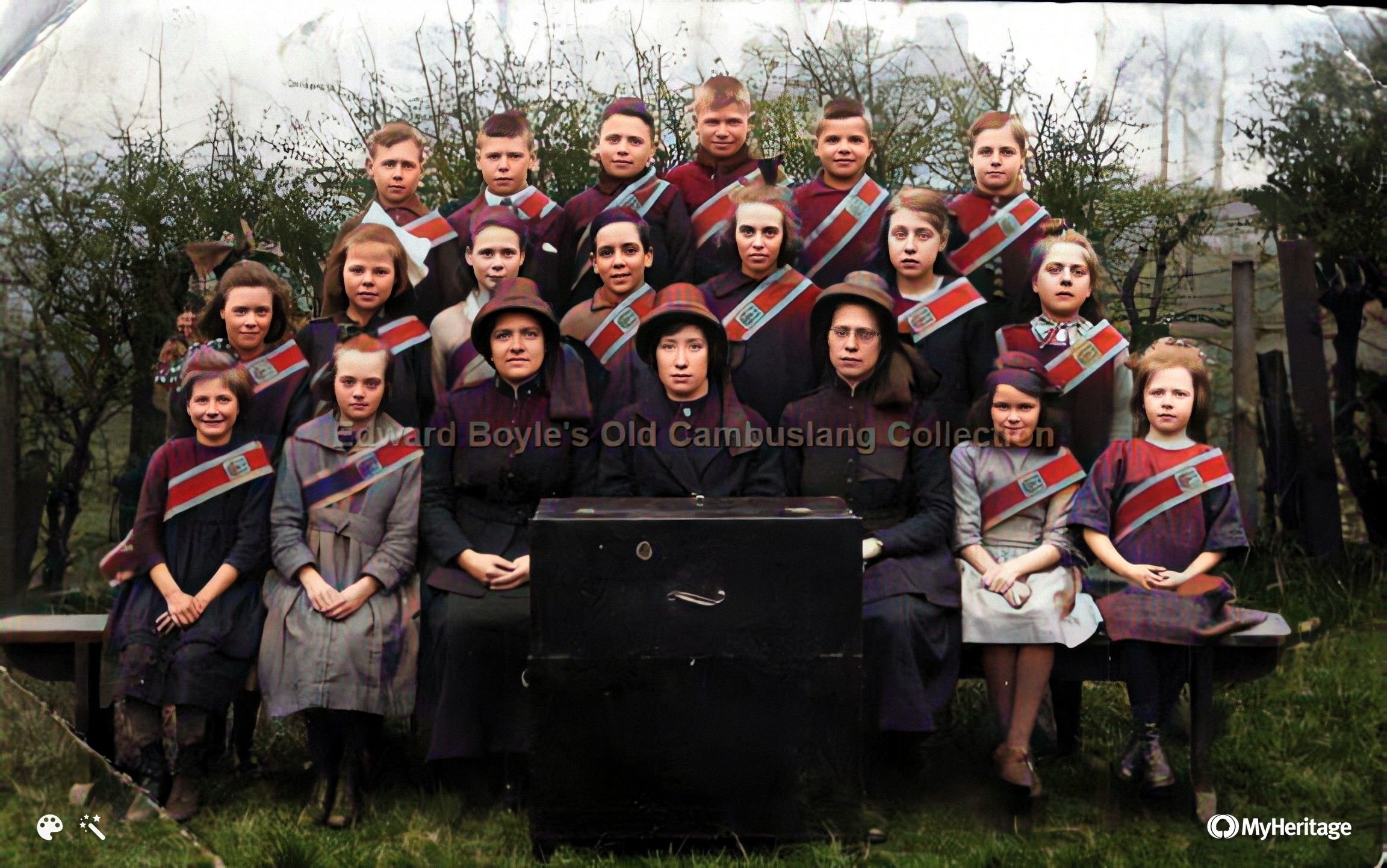
Salvation Army |
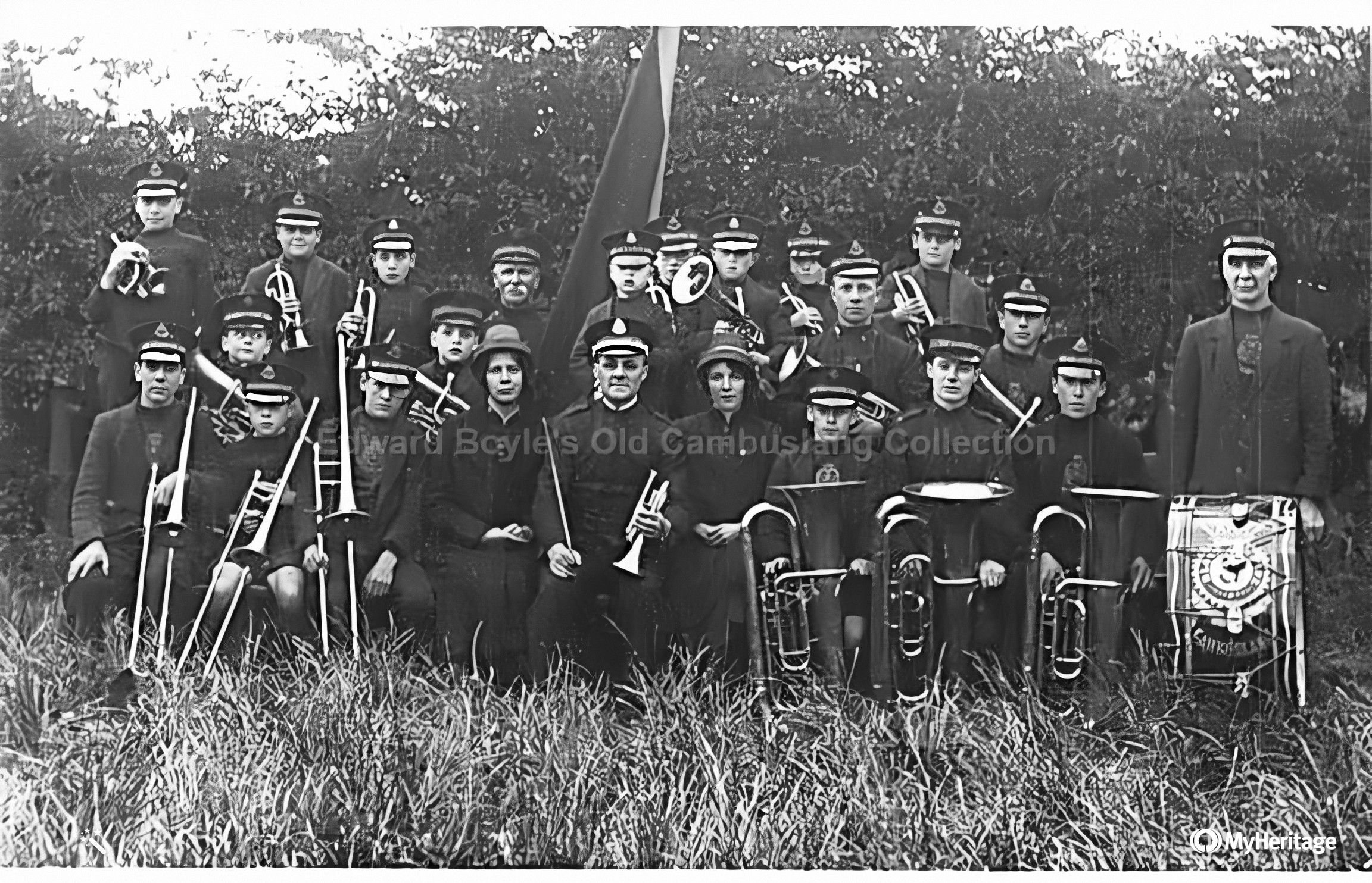 Salvation Army band Salvation Army band
|
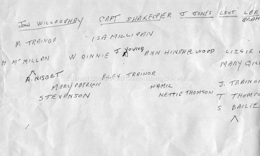
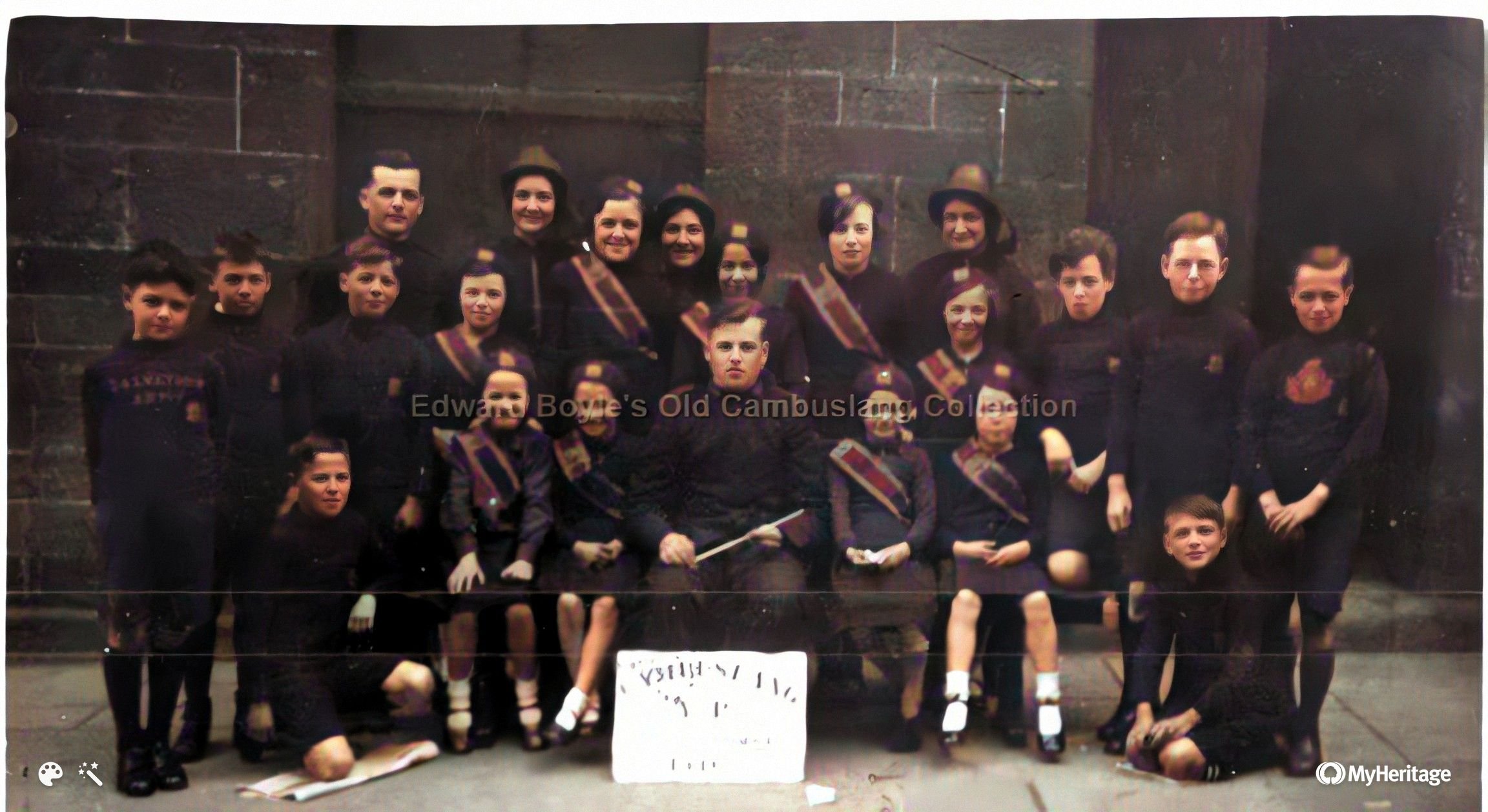 Salvation army band Colebroke St 1936 |
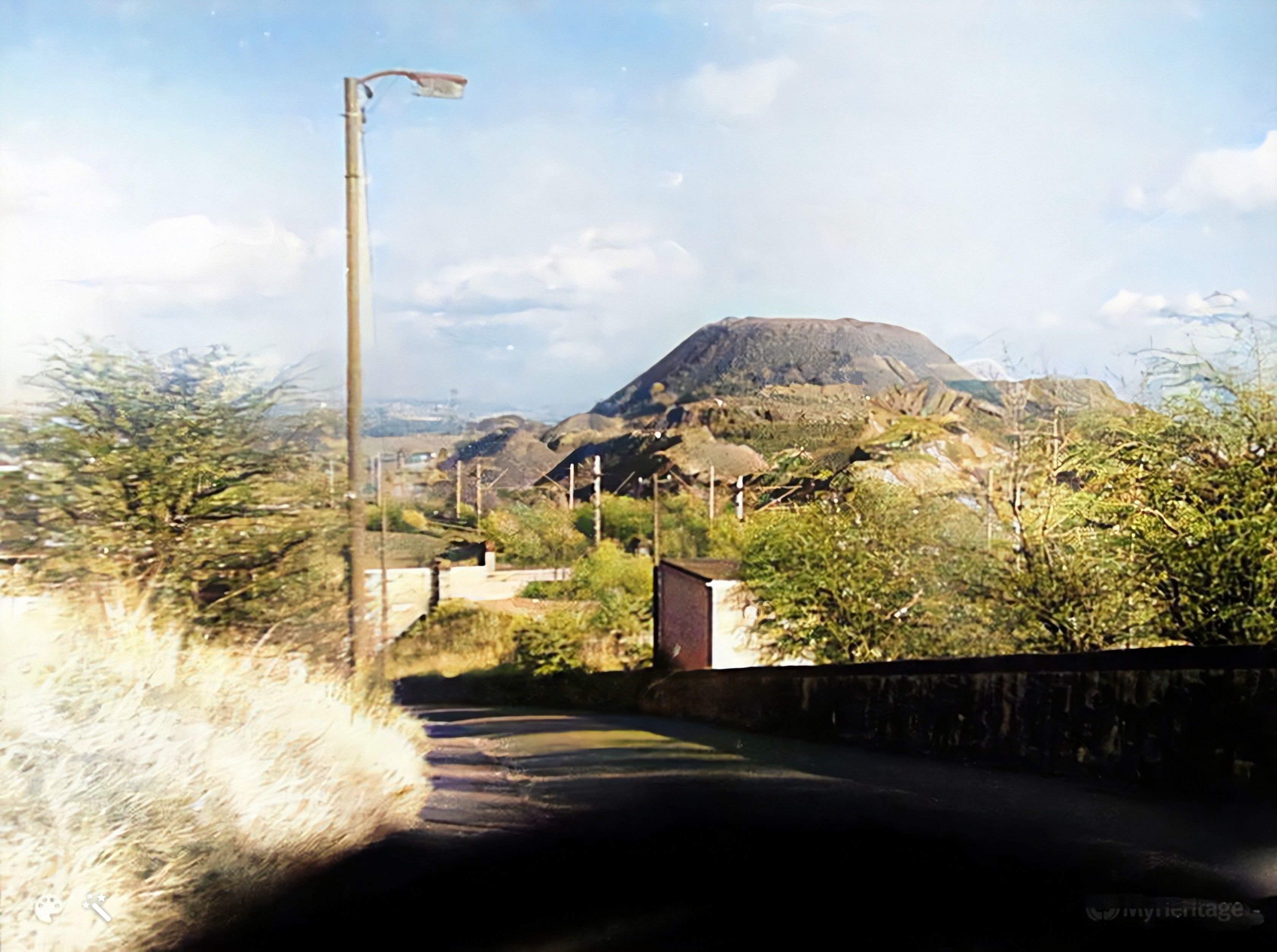 View from Howieshill Ave to Gateside Bings |
Page last updated 3 Feb 2022