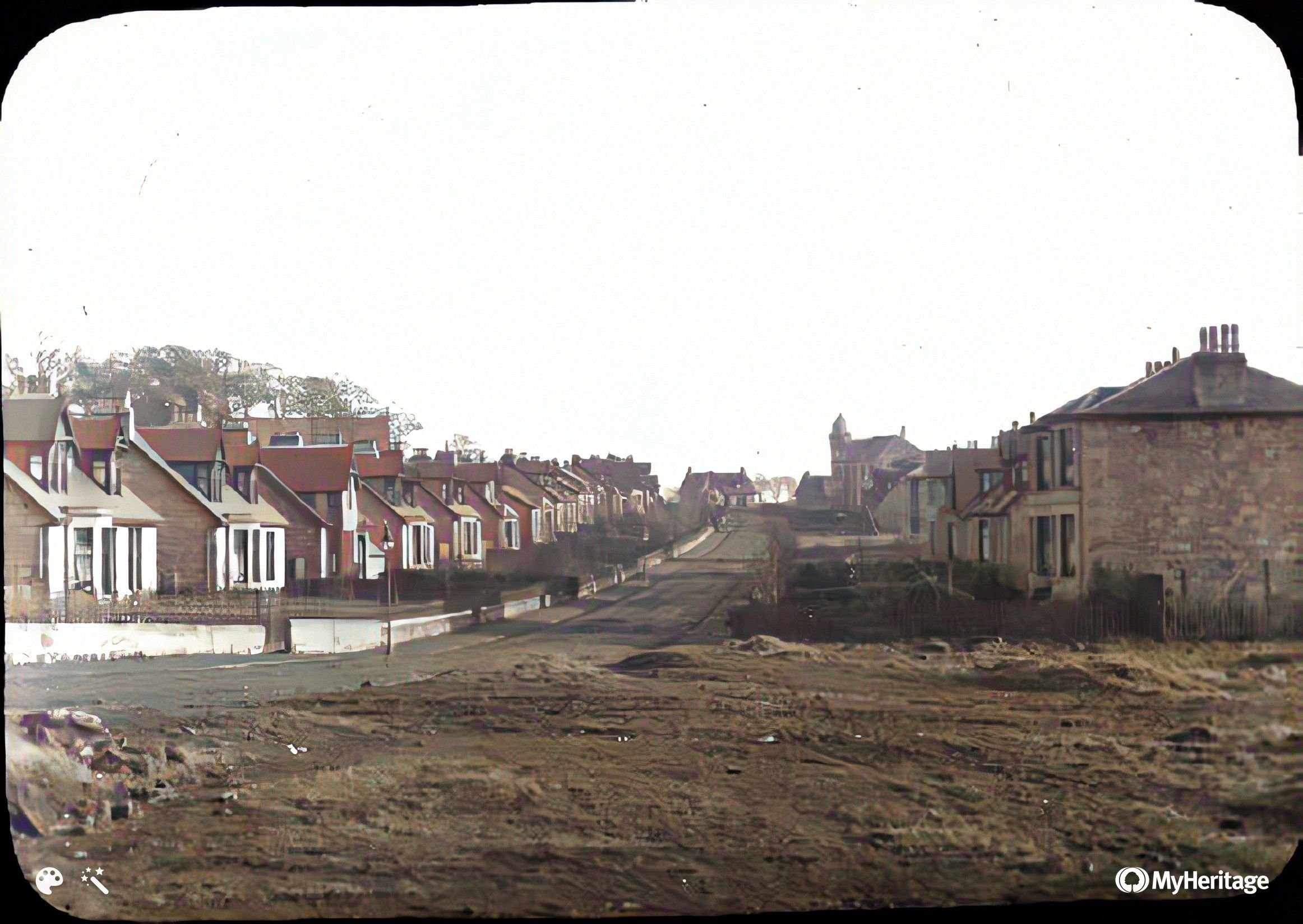
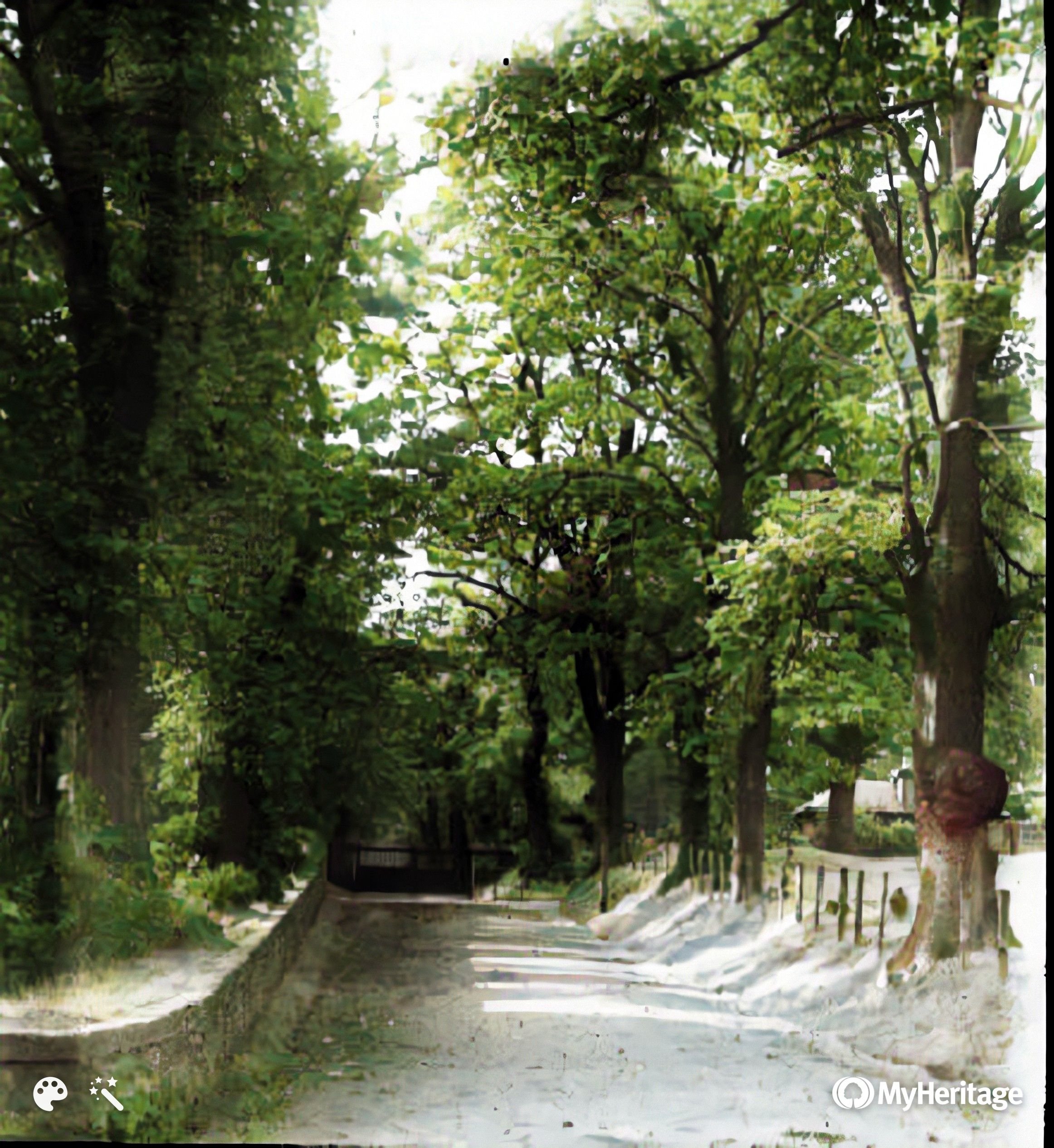
Hamilton Drive
Hamilton Drive
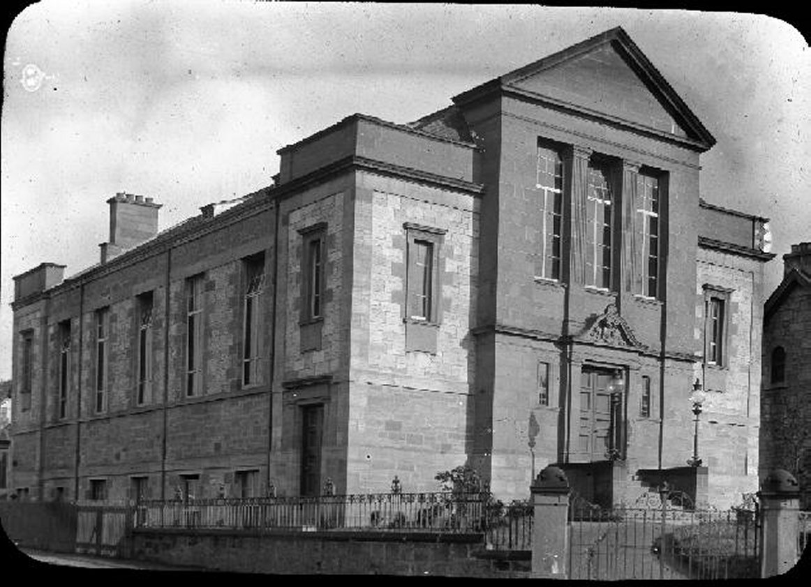
Hamilton Drive. Institute on the left
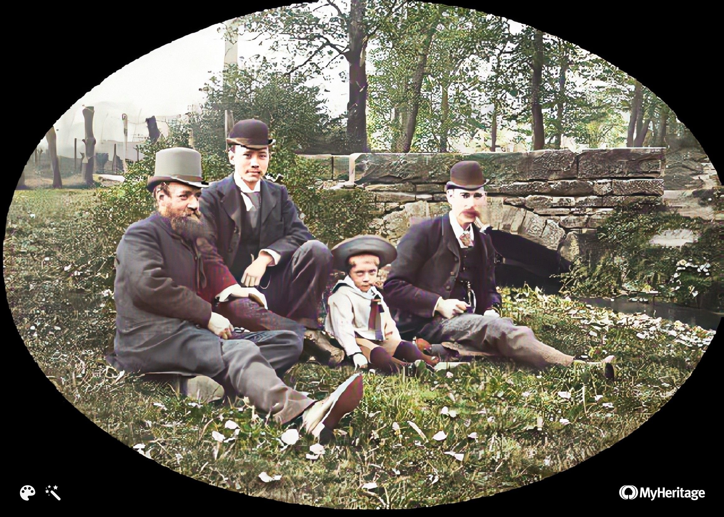
?
Bottom of Clydeford Rd
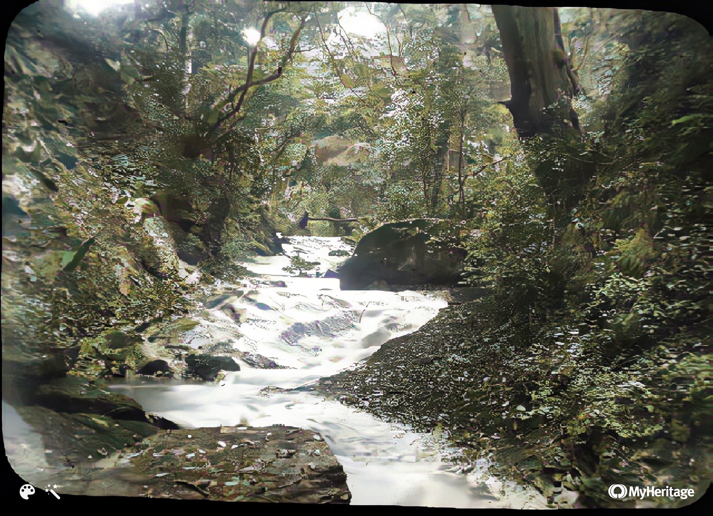
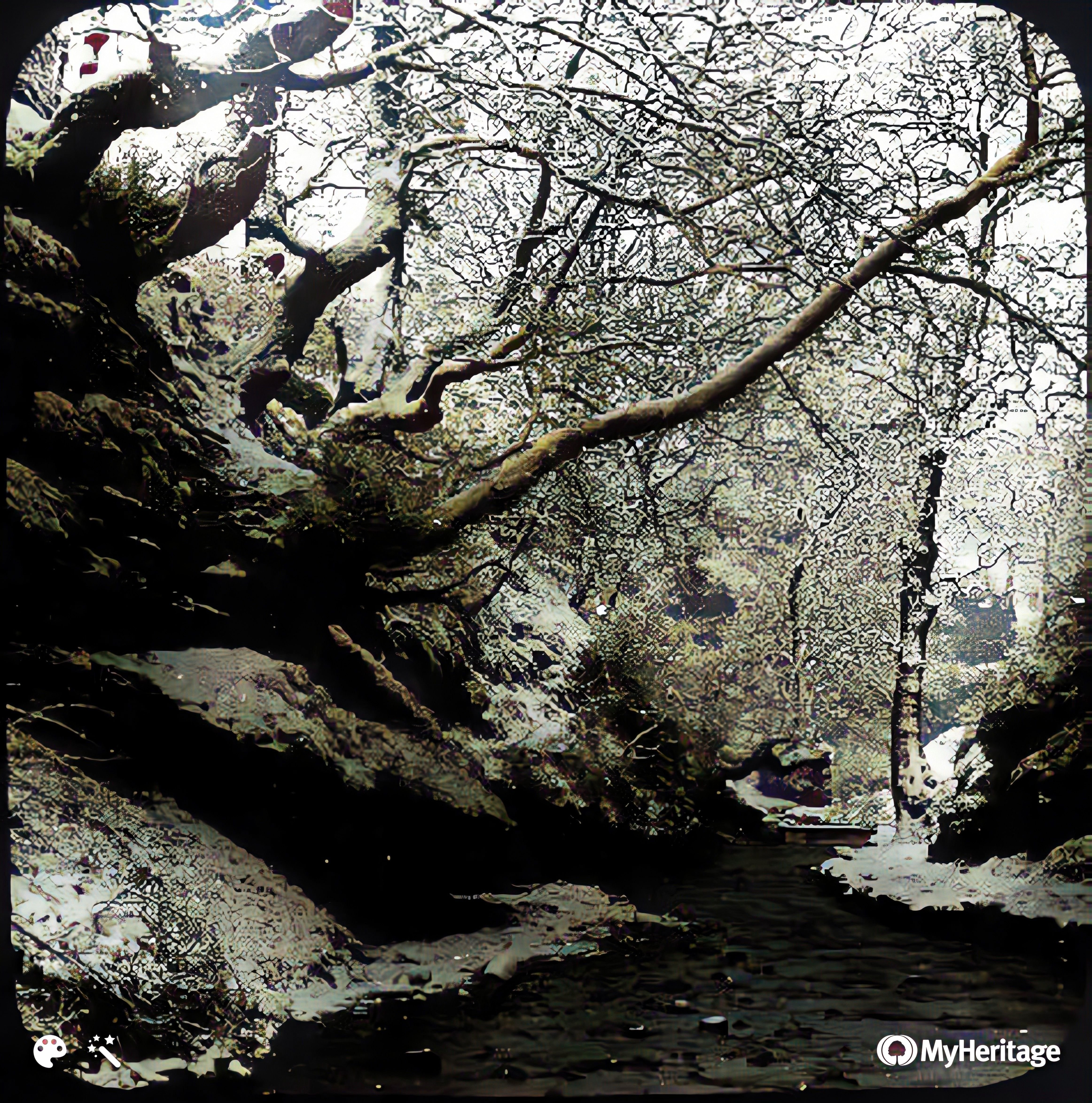
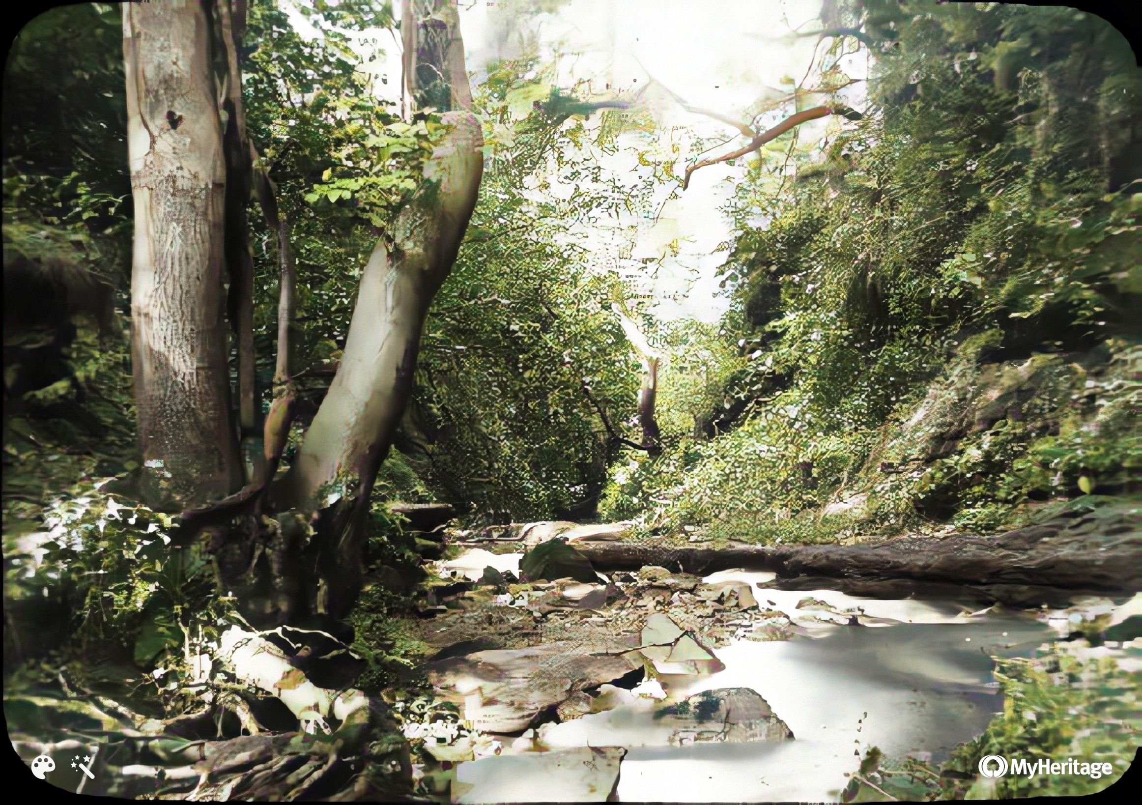
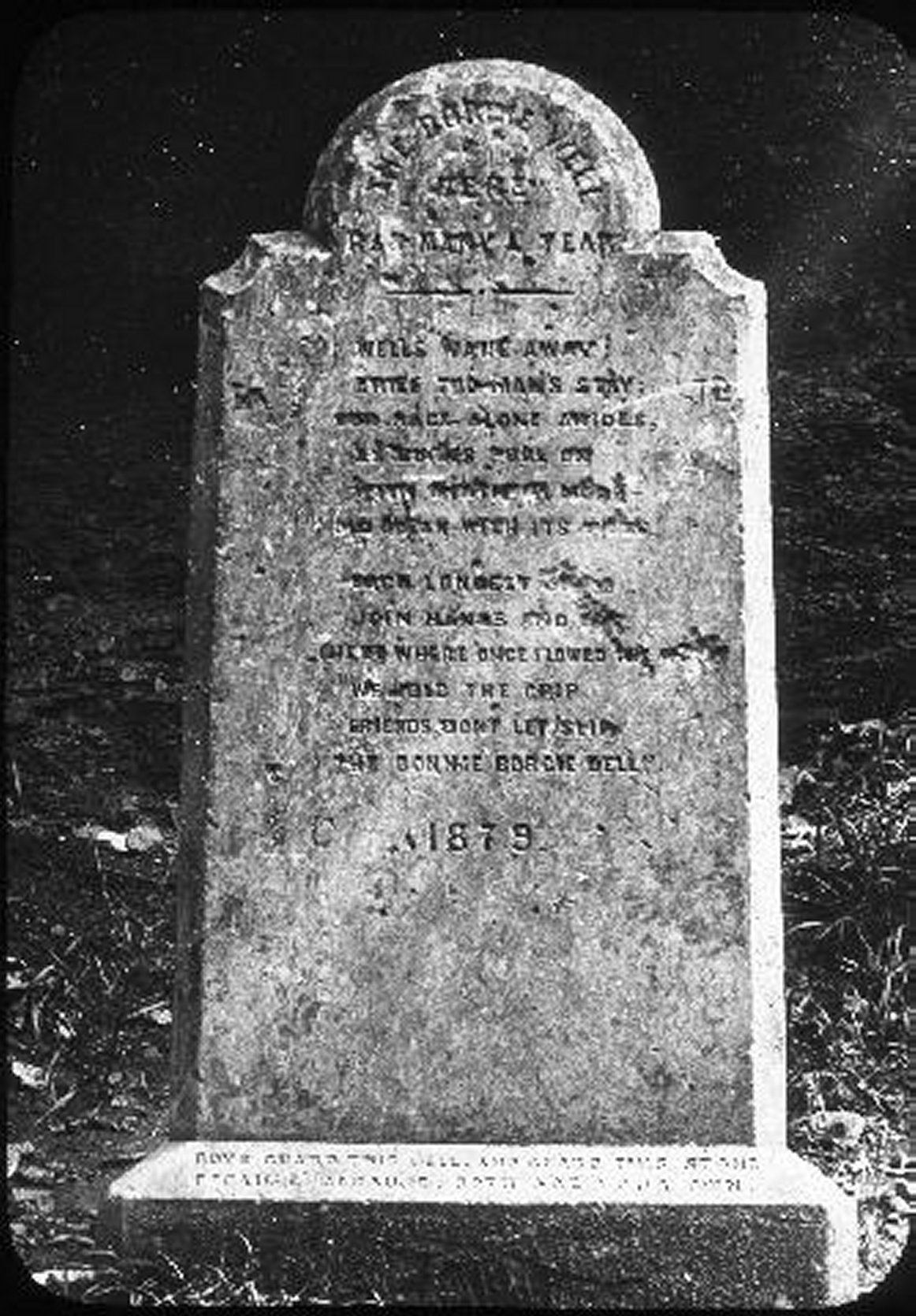
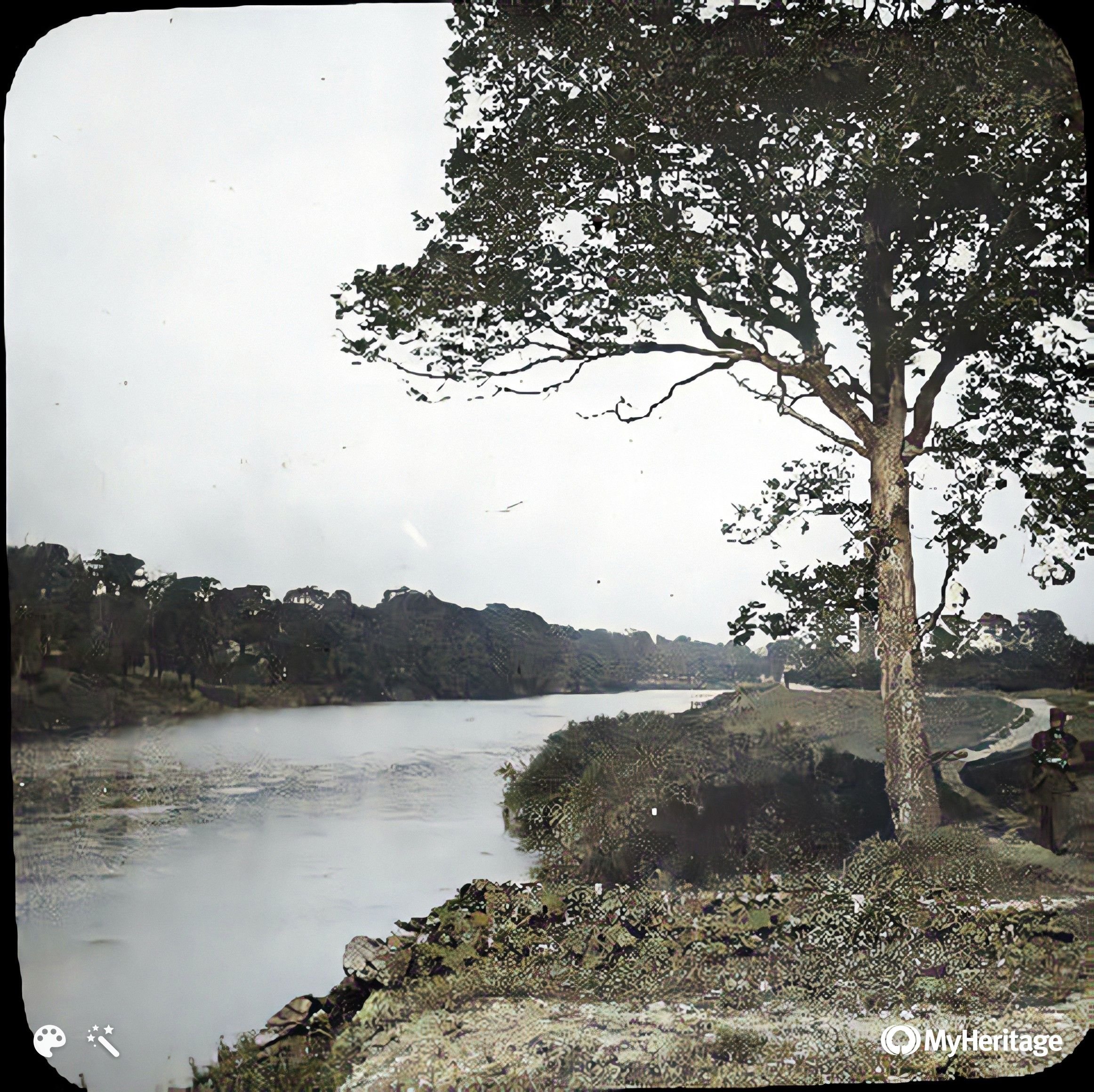
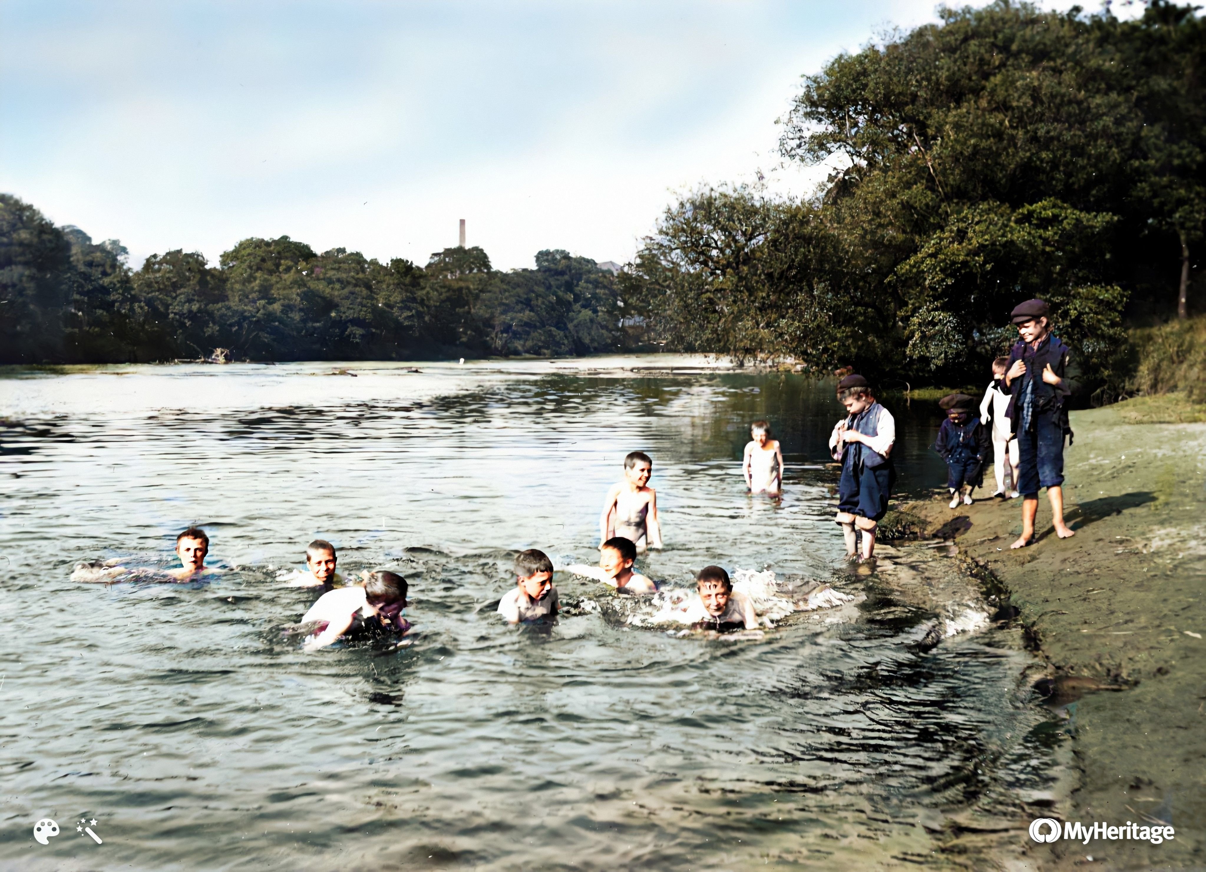
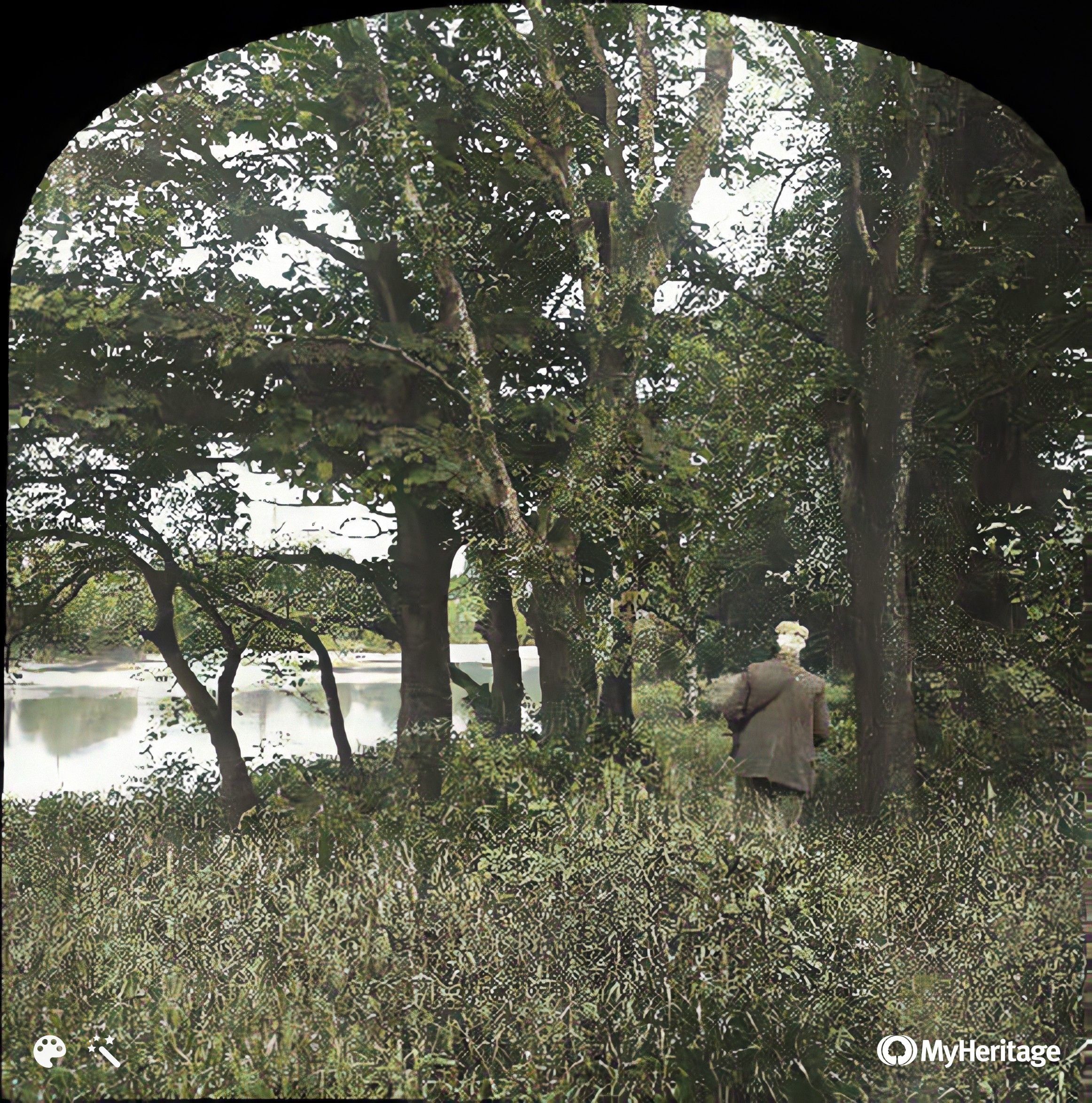
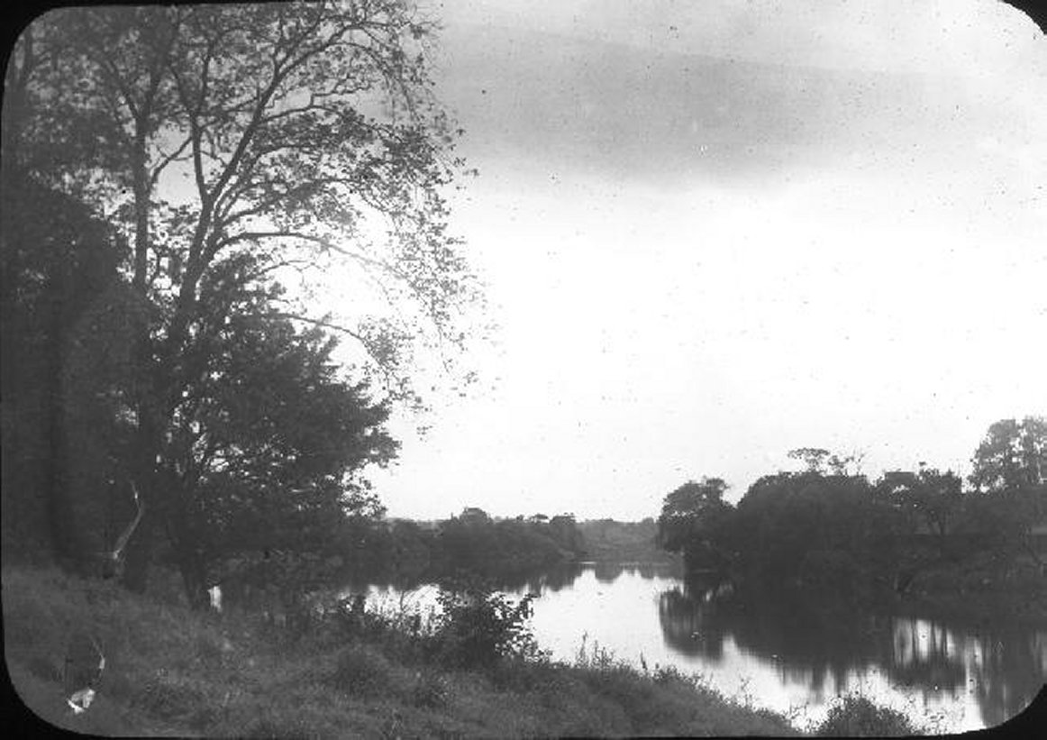
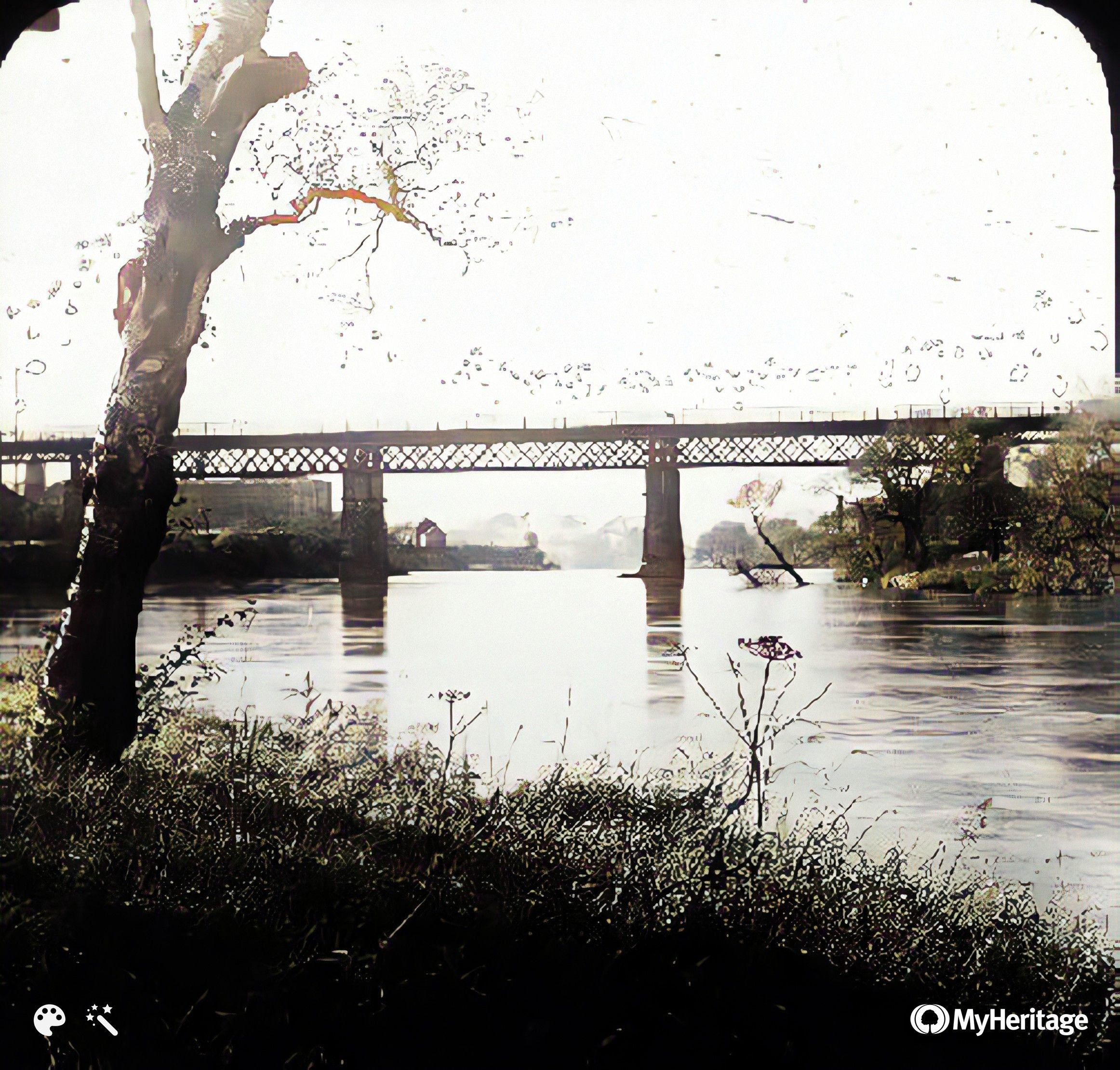
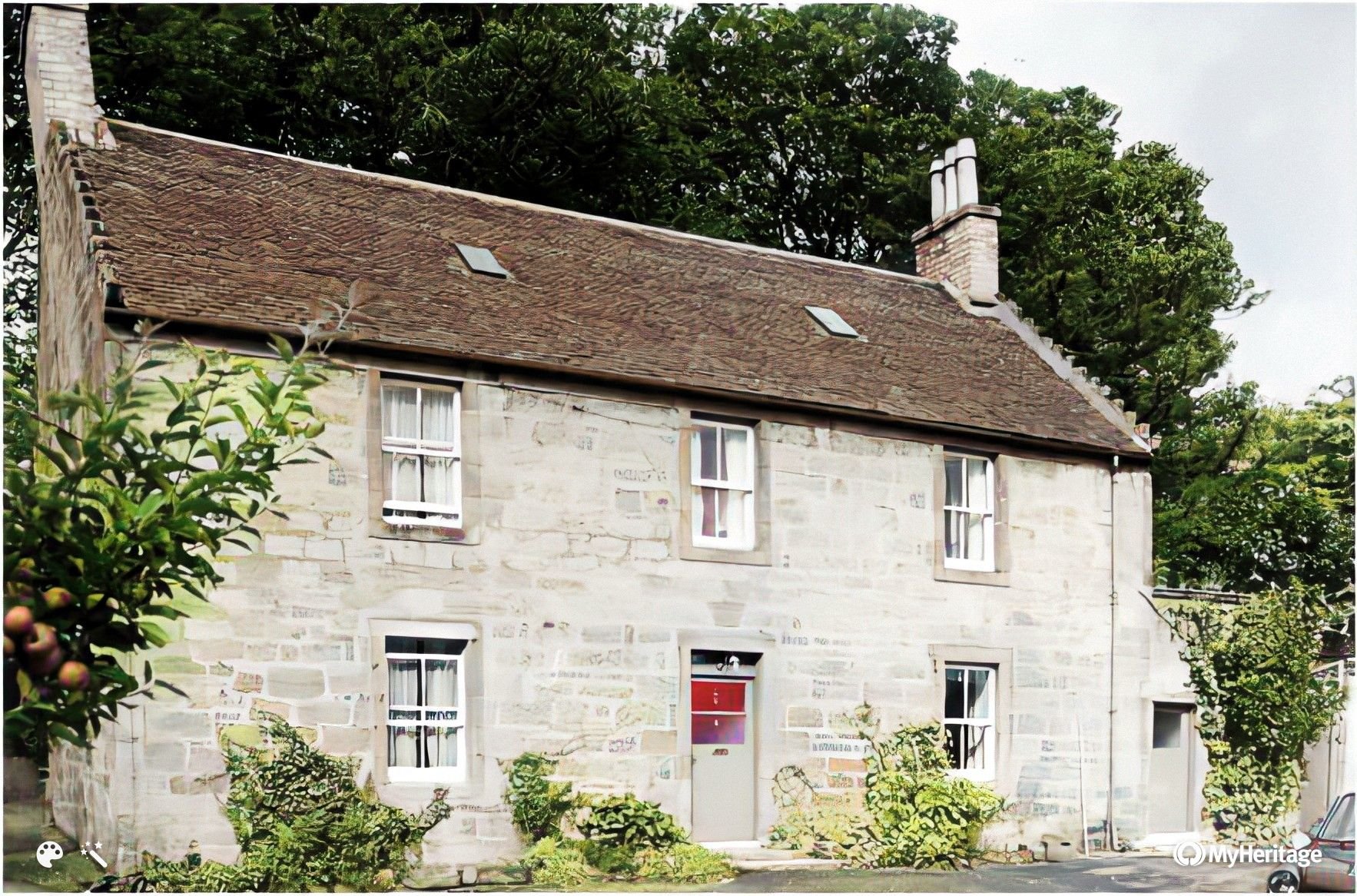
Borgie Glen and also the next 3

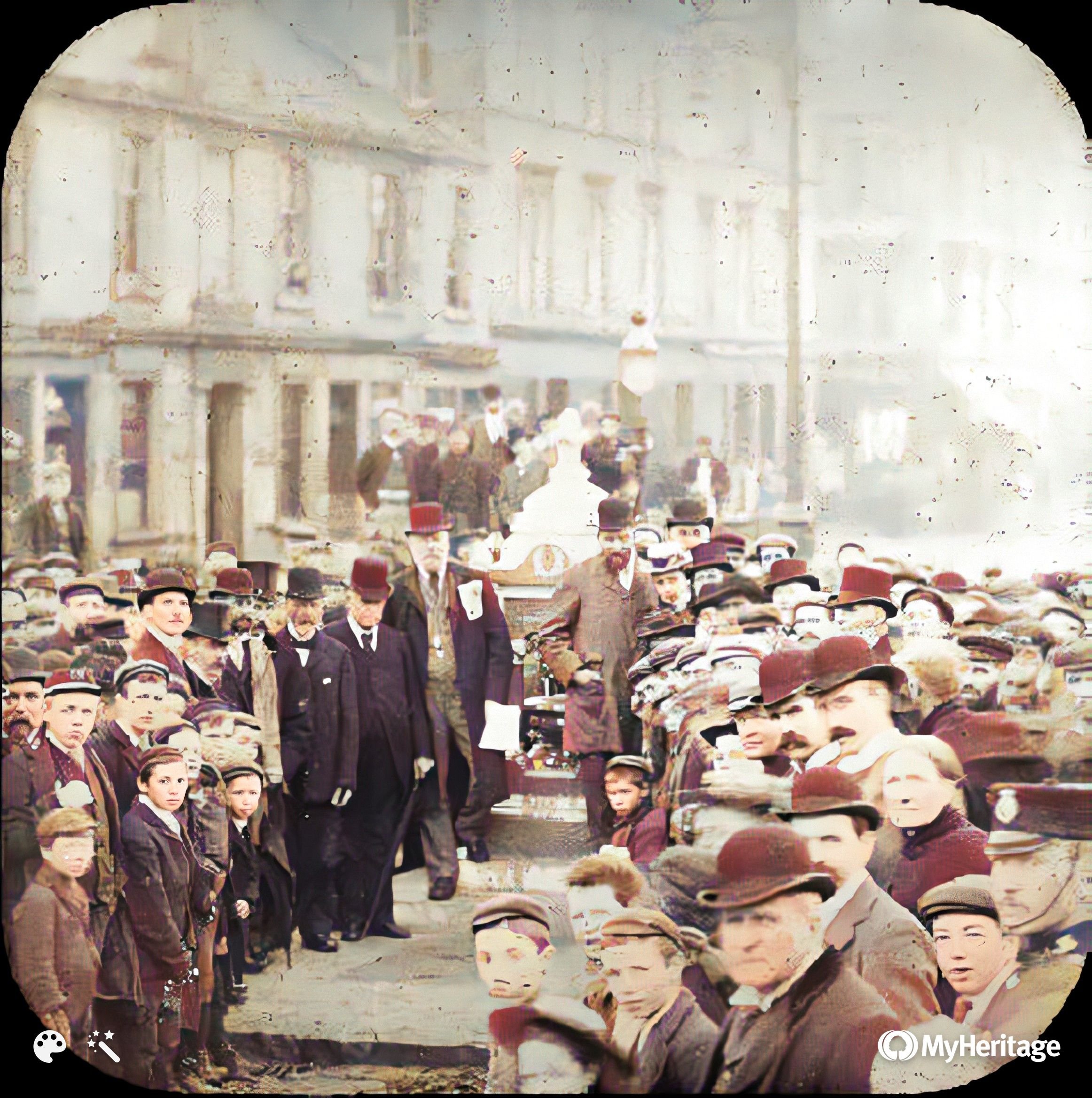
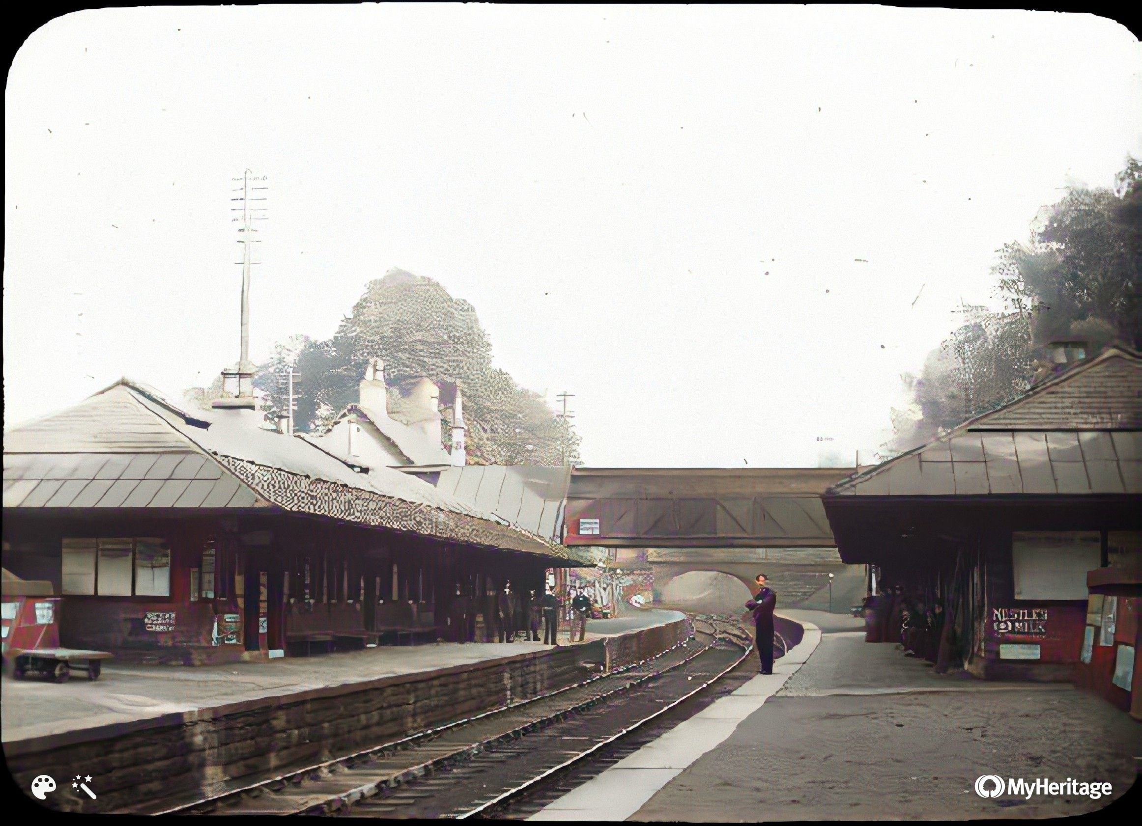
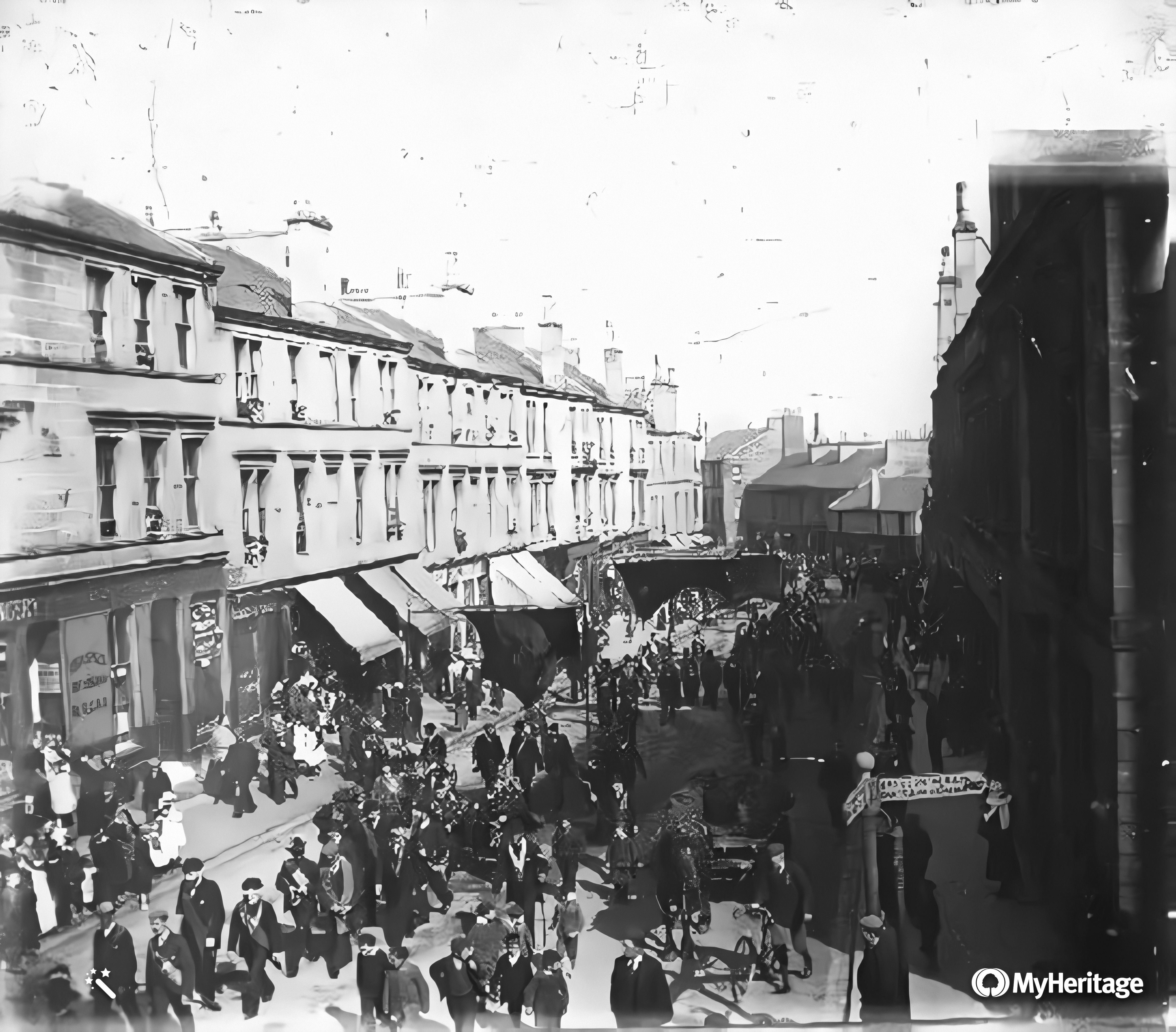
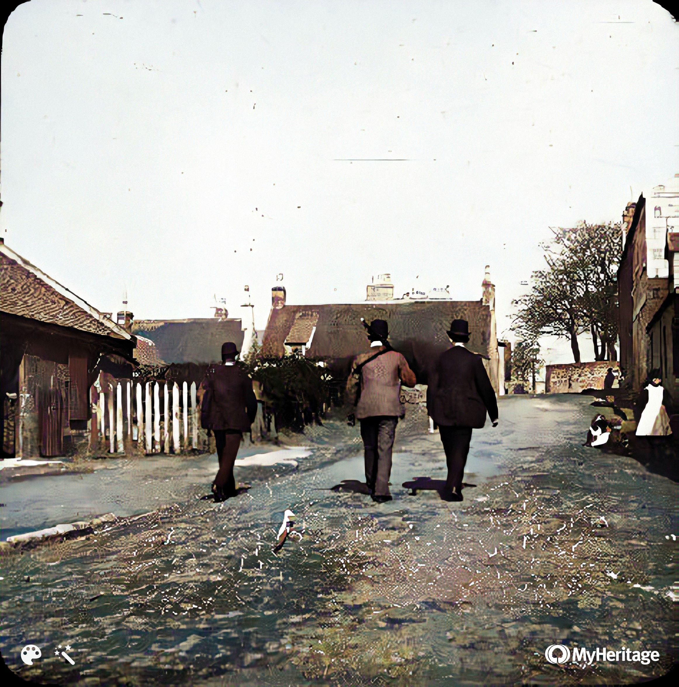
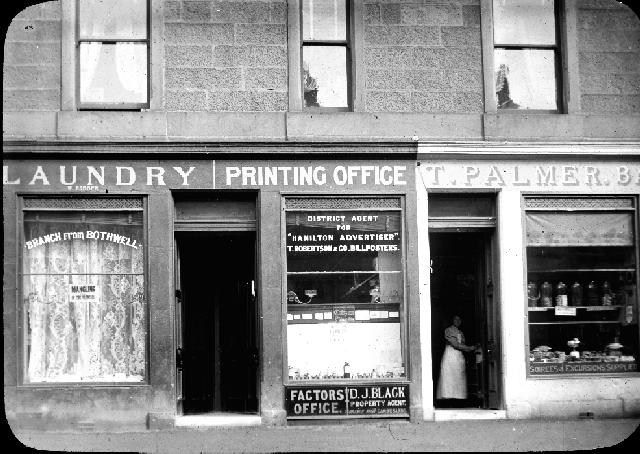
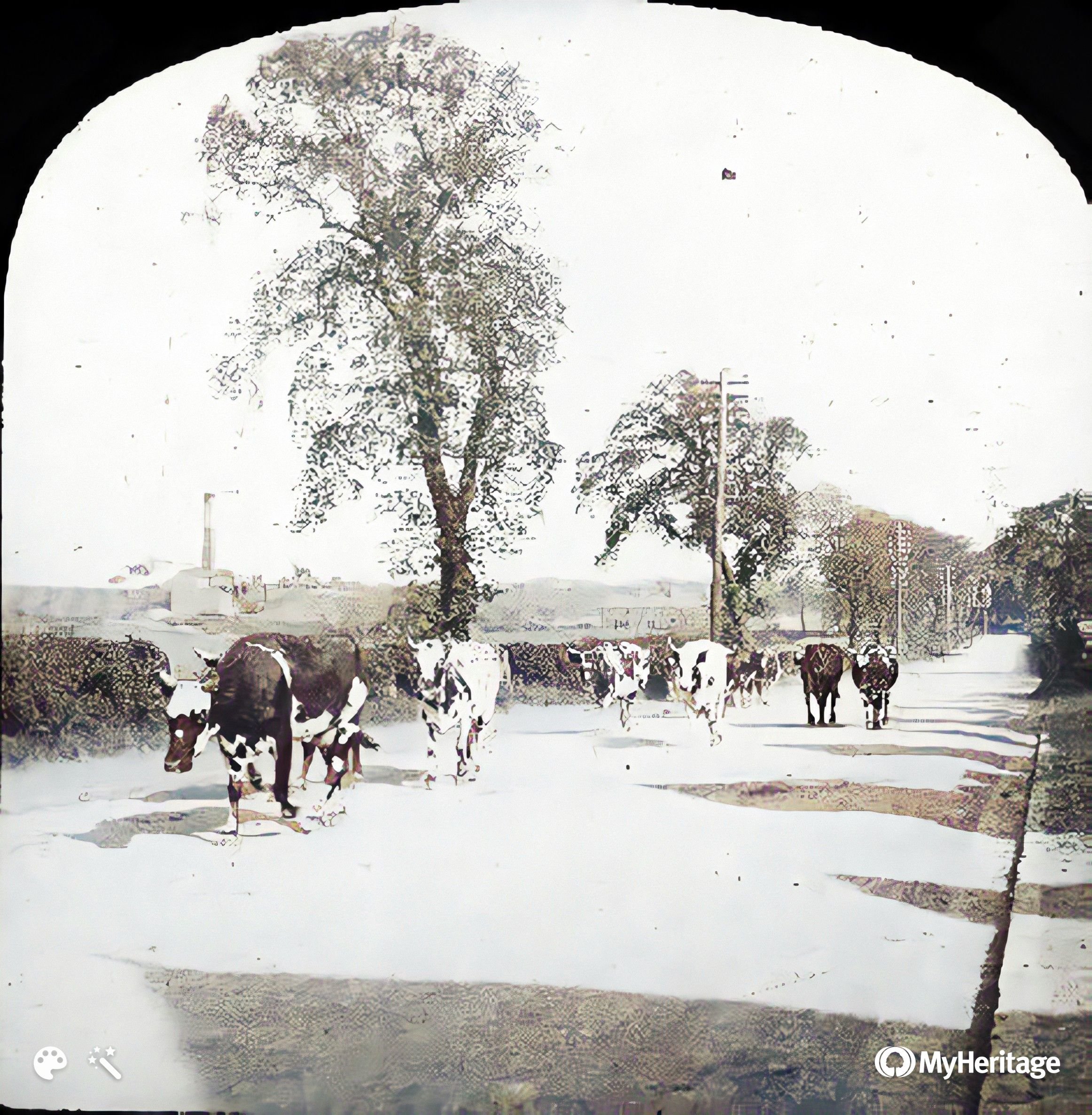
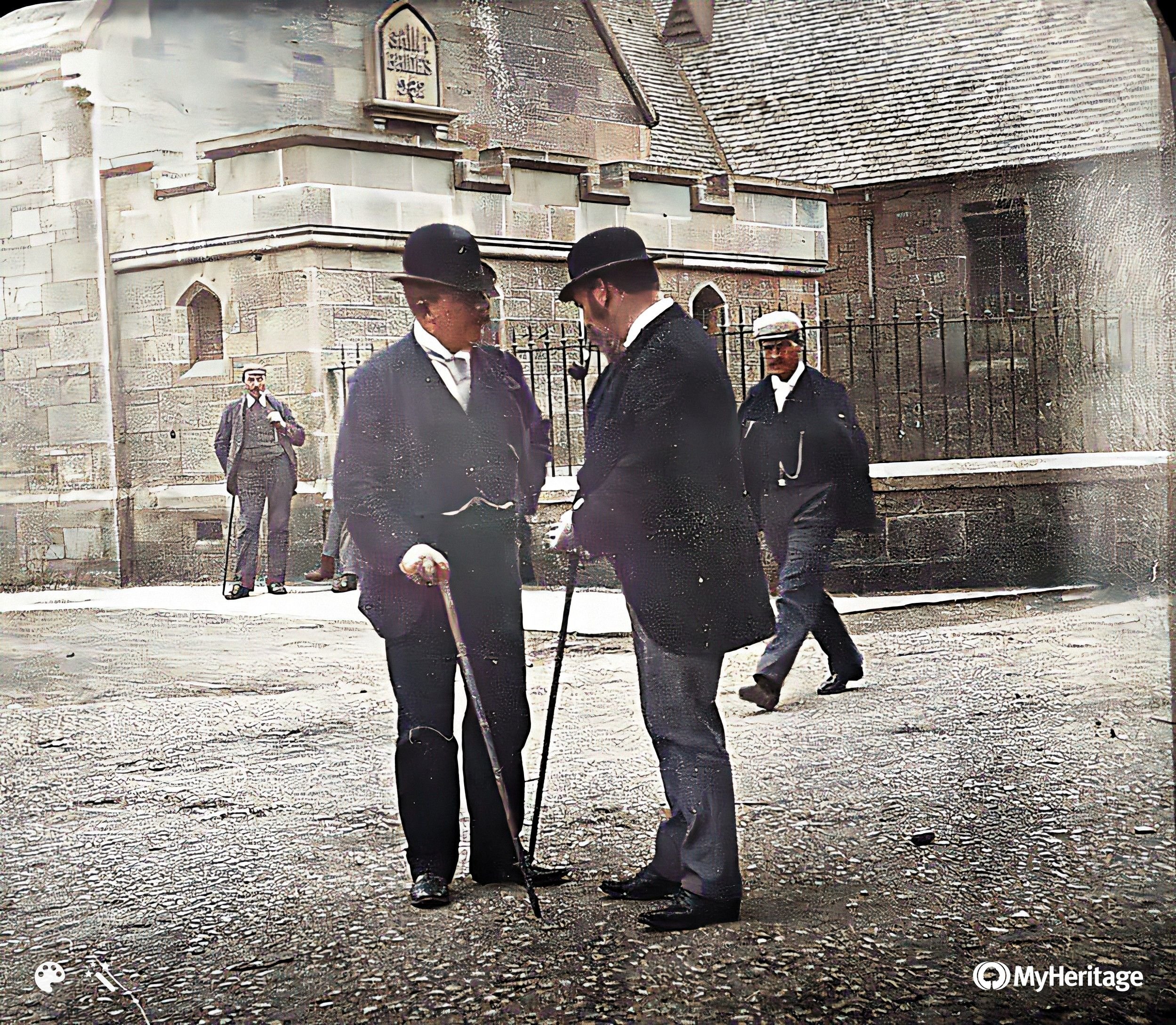
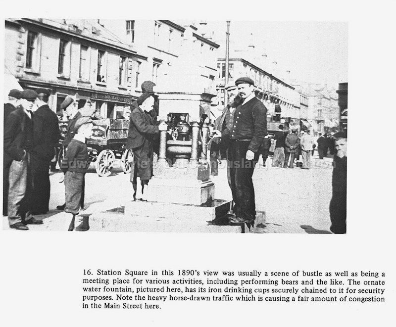
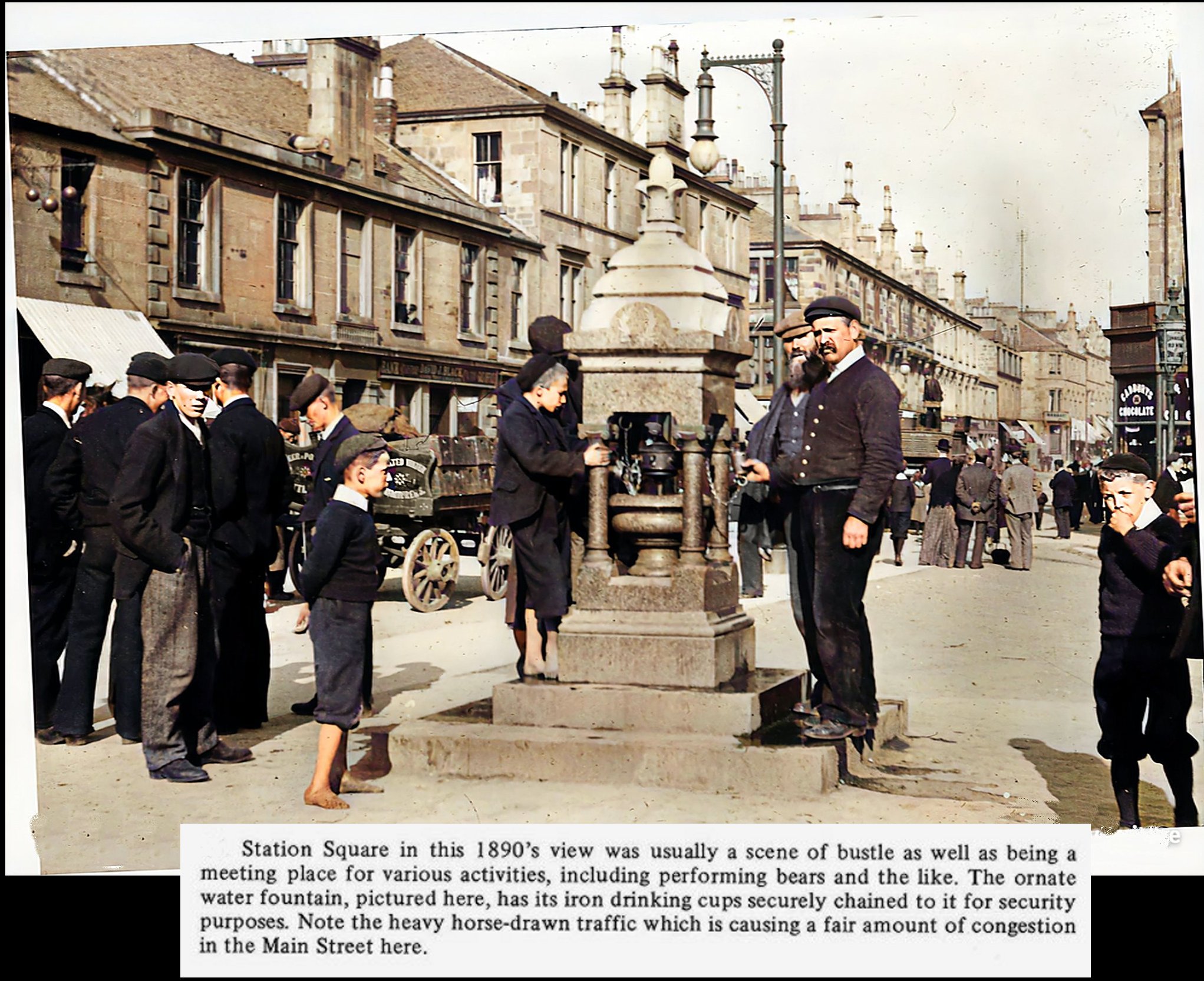
Station Sq at the junction
of Main St and Westcoats Rd
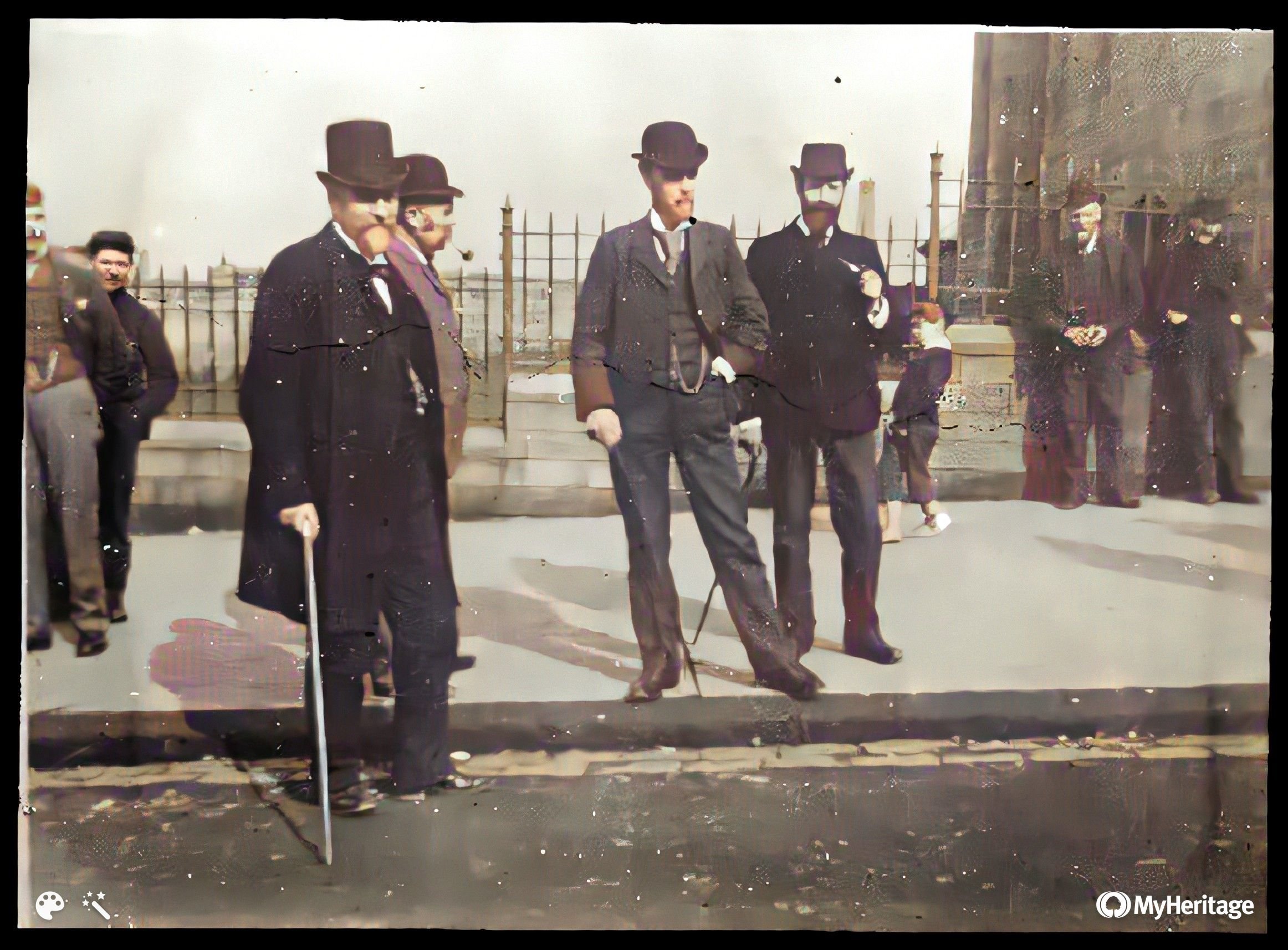
See also here
?
?
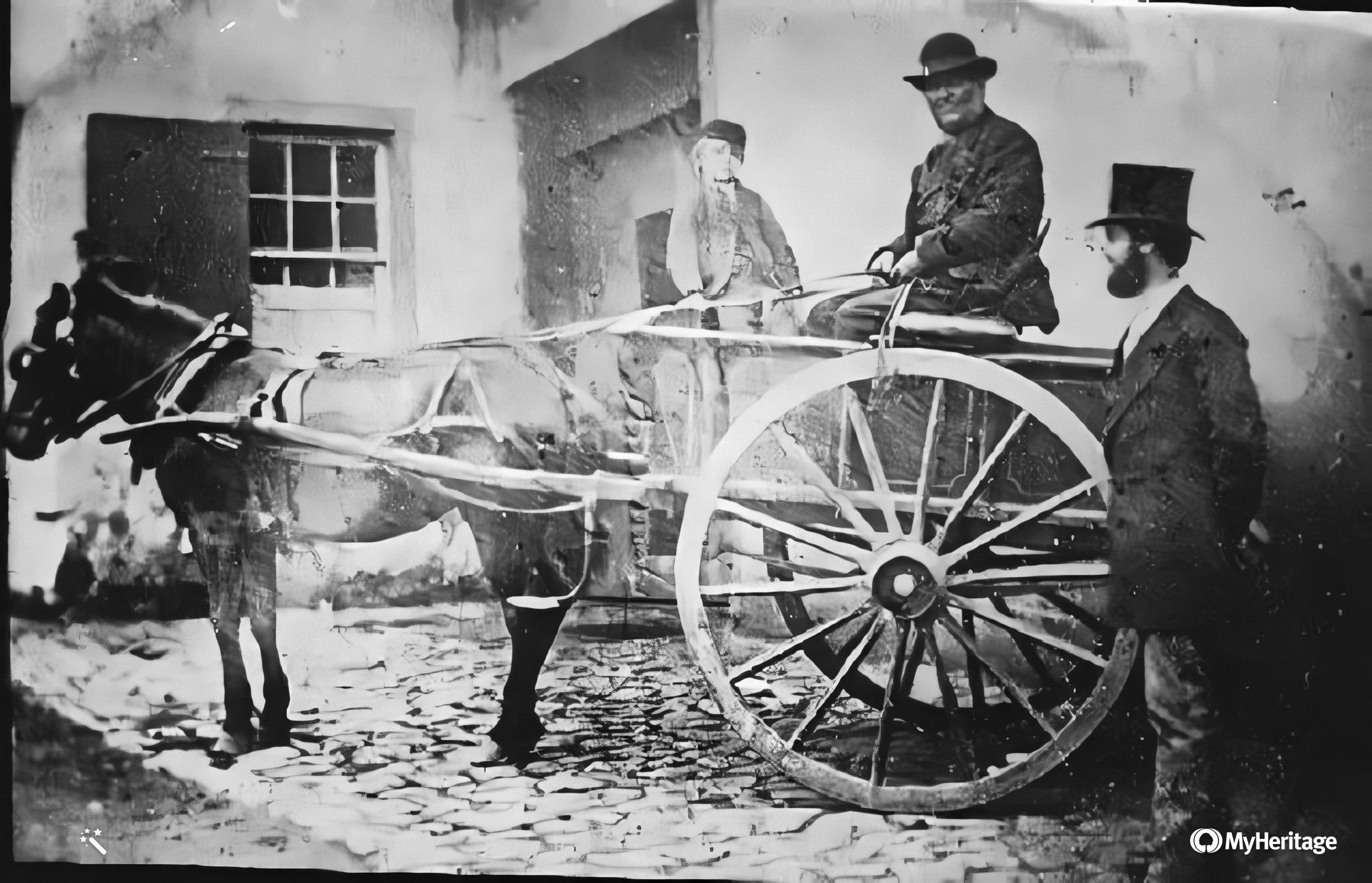
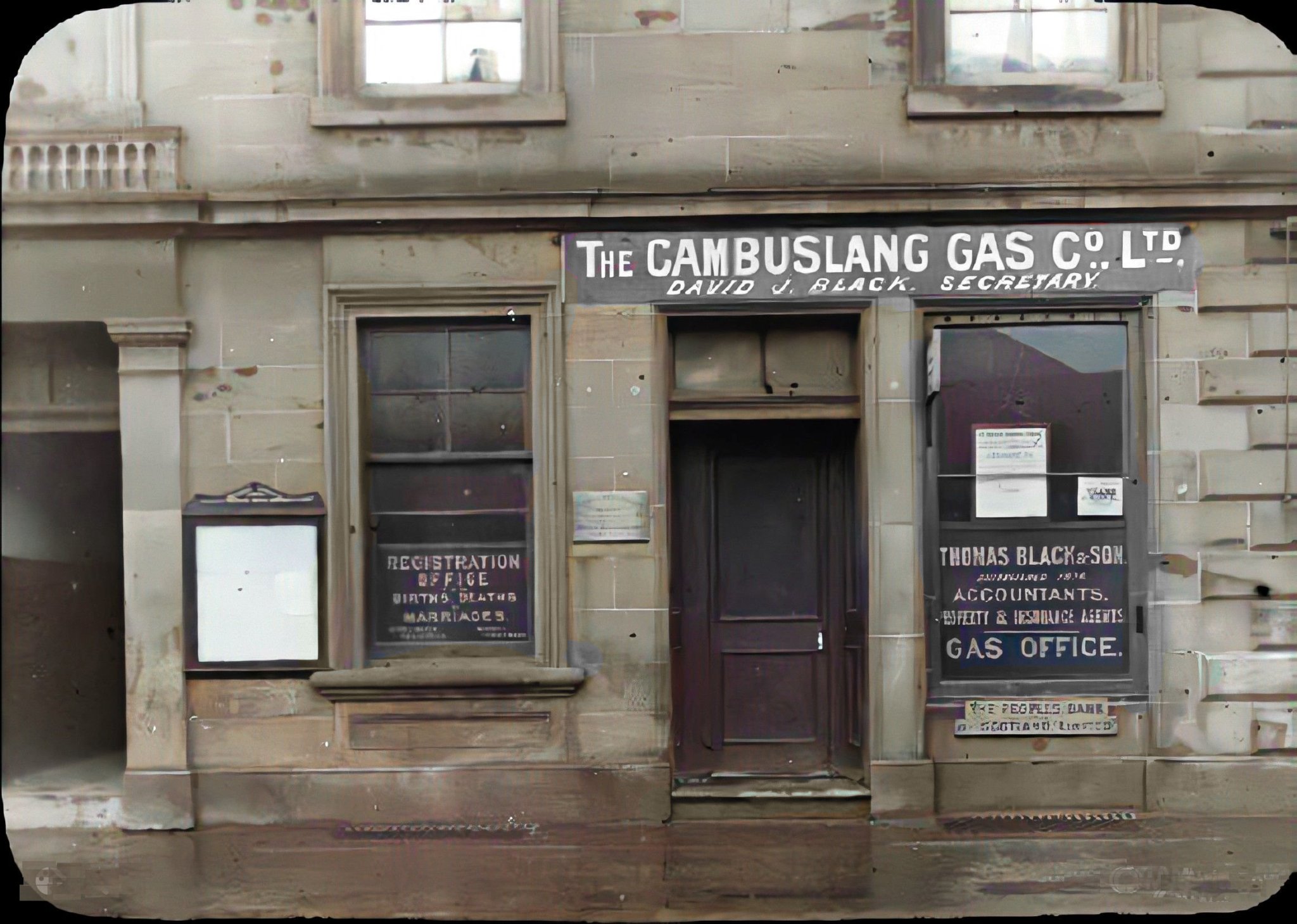
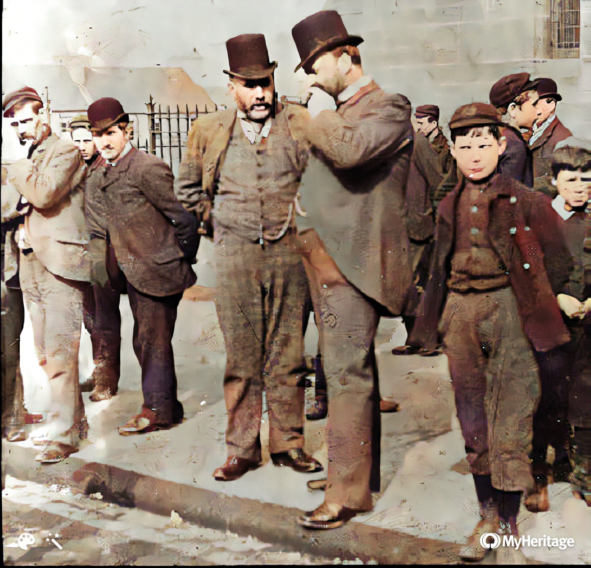
Taylor vets Cathkin still a blacksmiths
when this was taken. https://www.taylorvets.co.uk/our-history
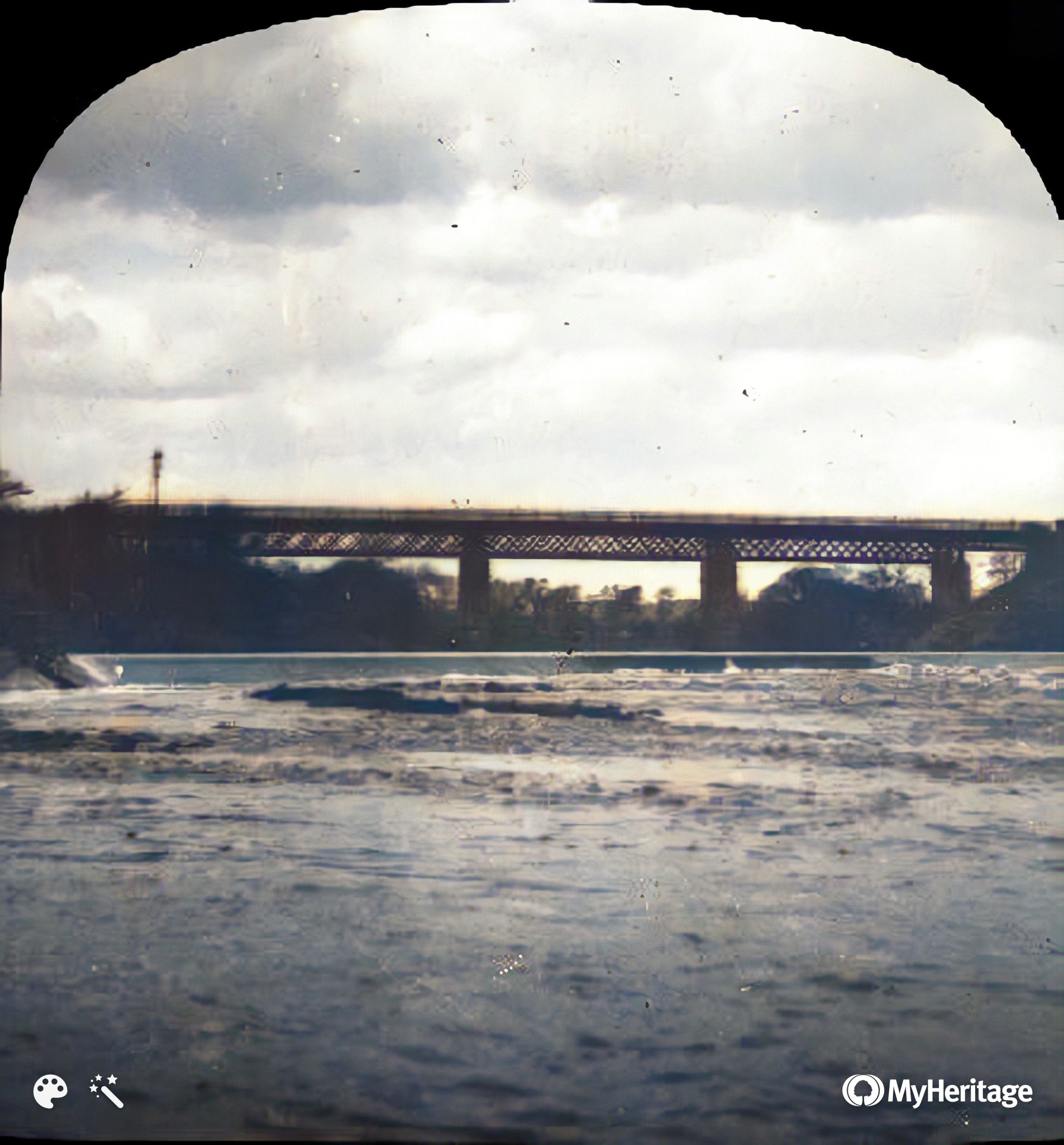
Carmyle across from
the power station - The Boat Hoose pub
Westcoats School?
Westcoats School?
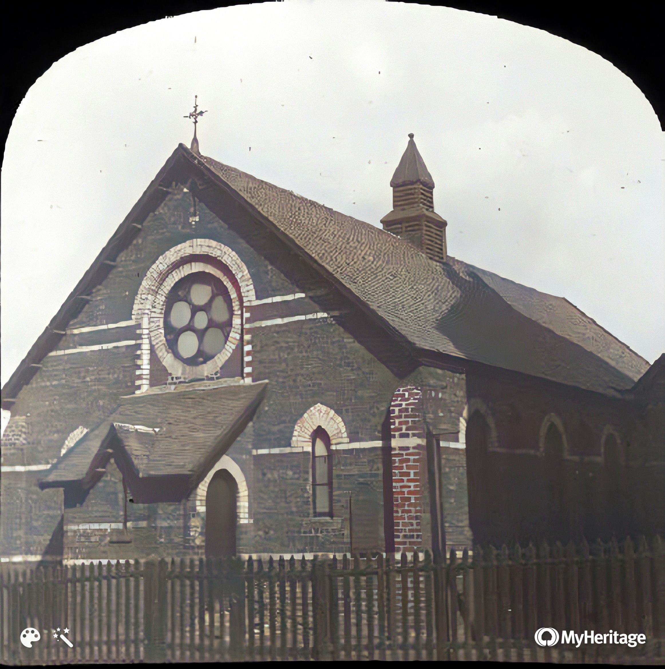
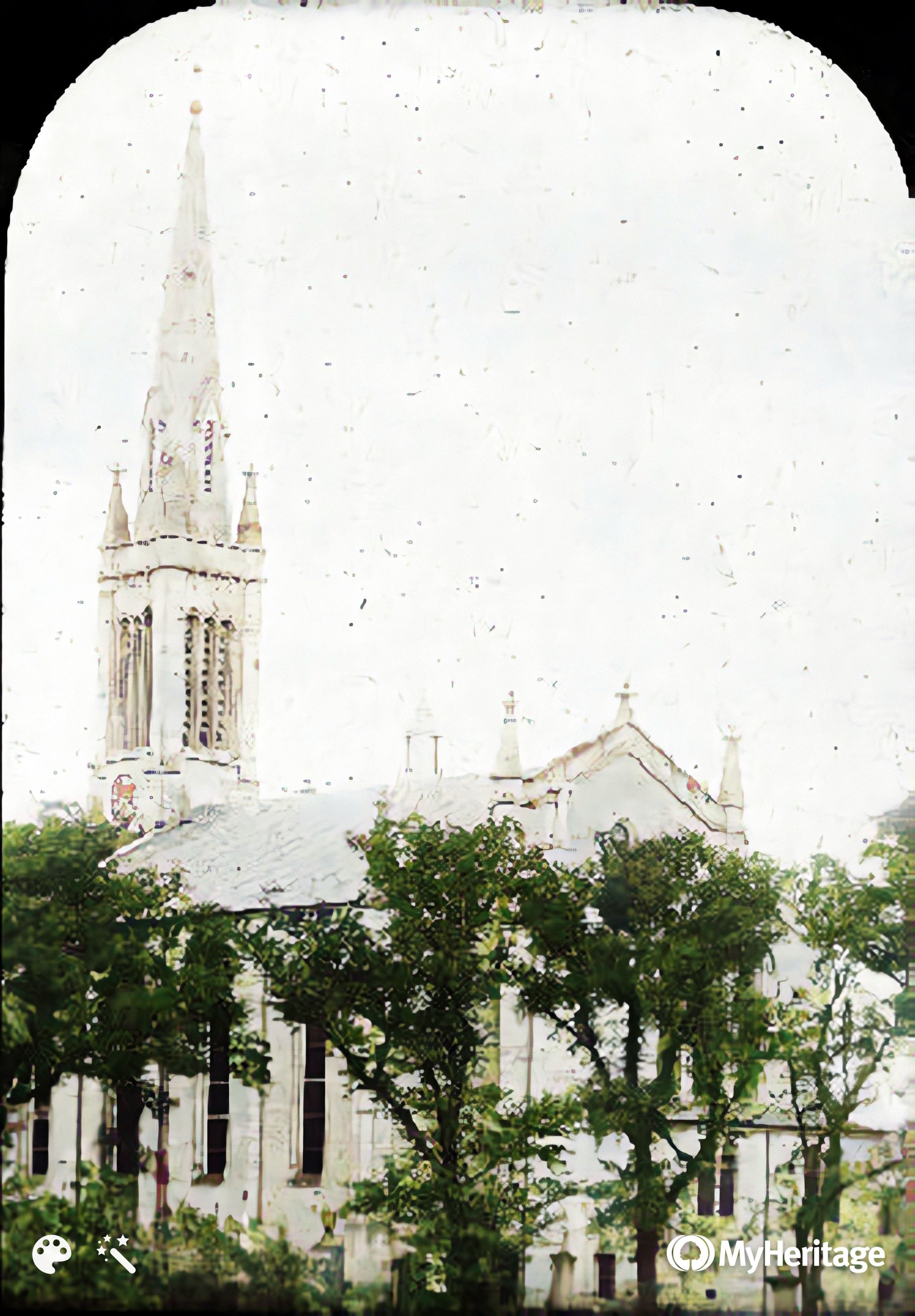
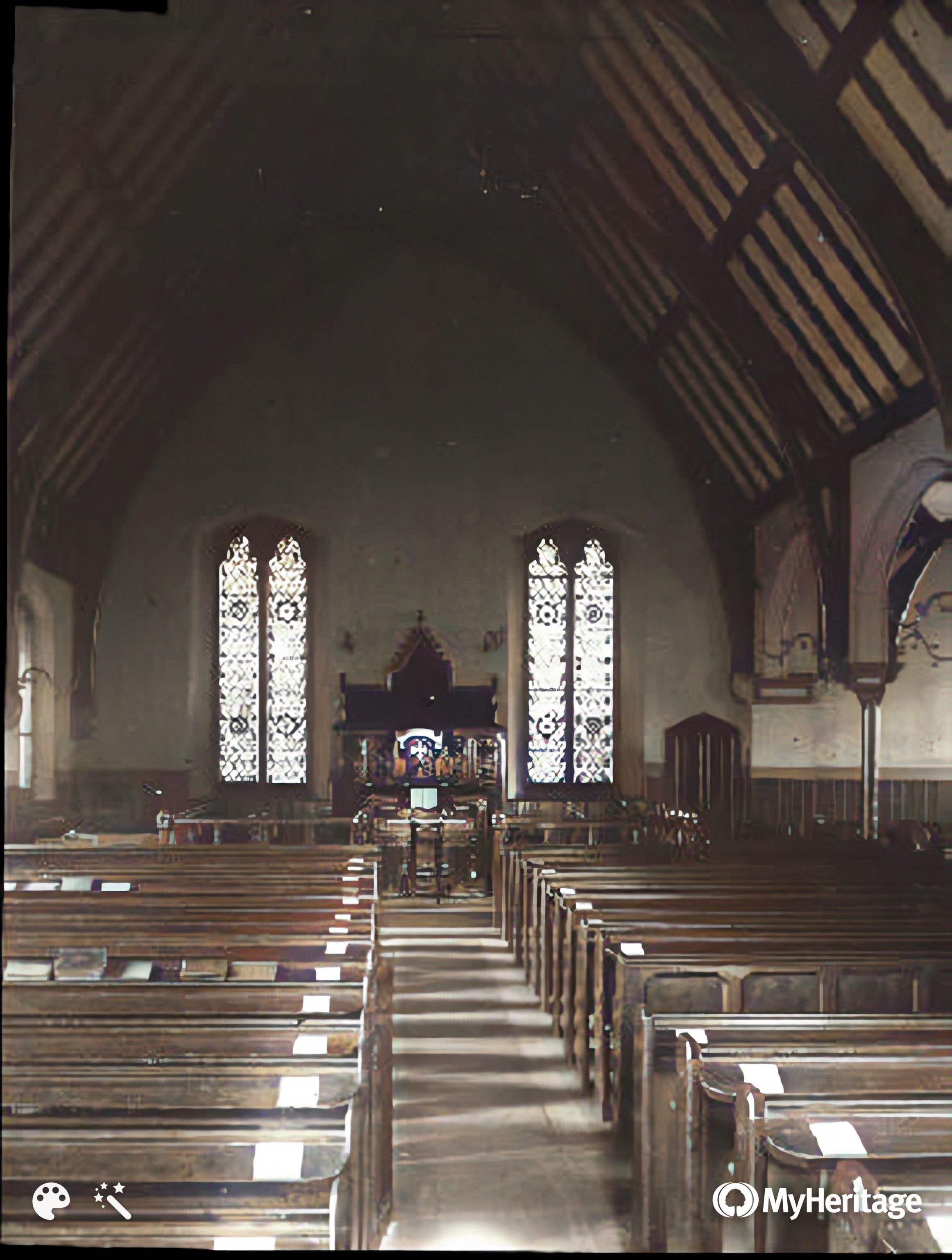
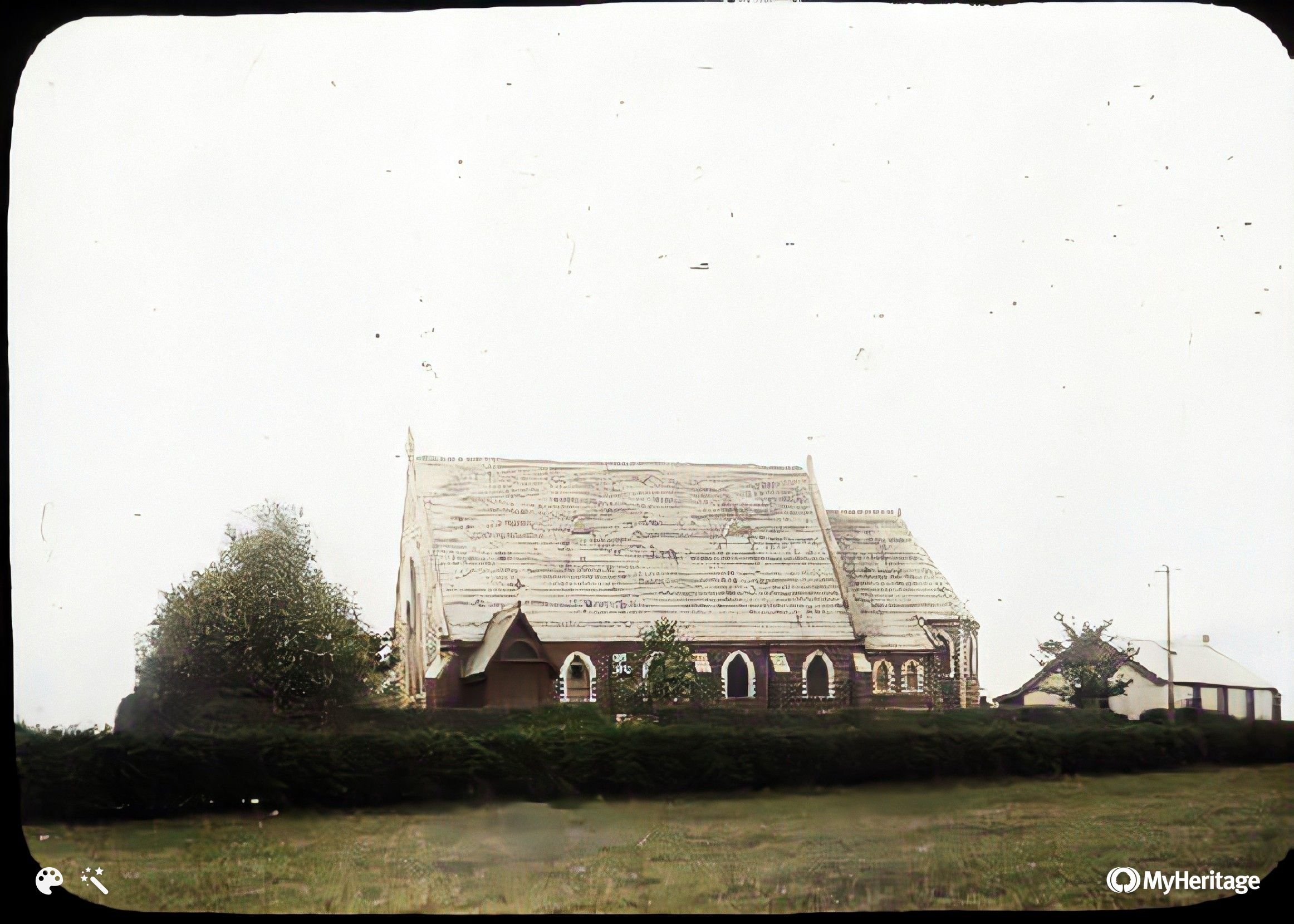
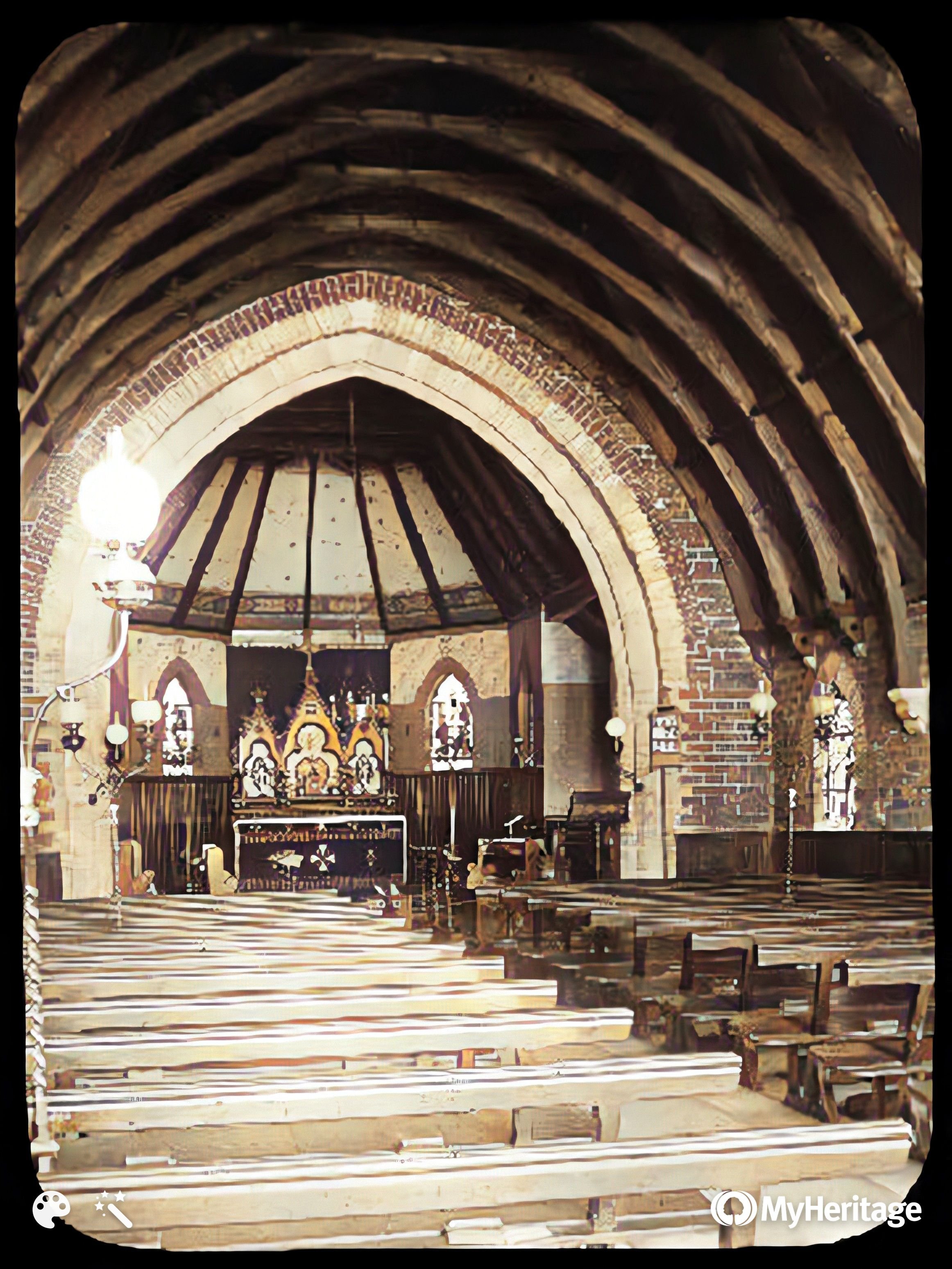
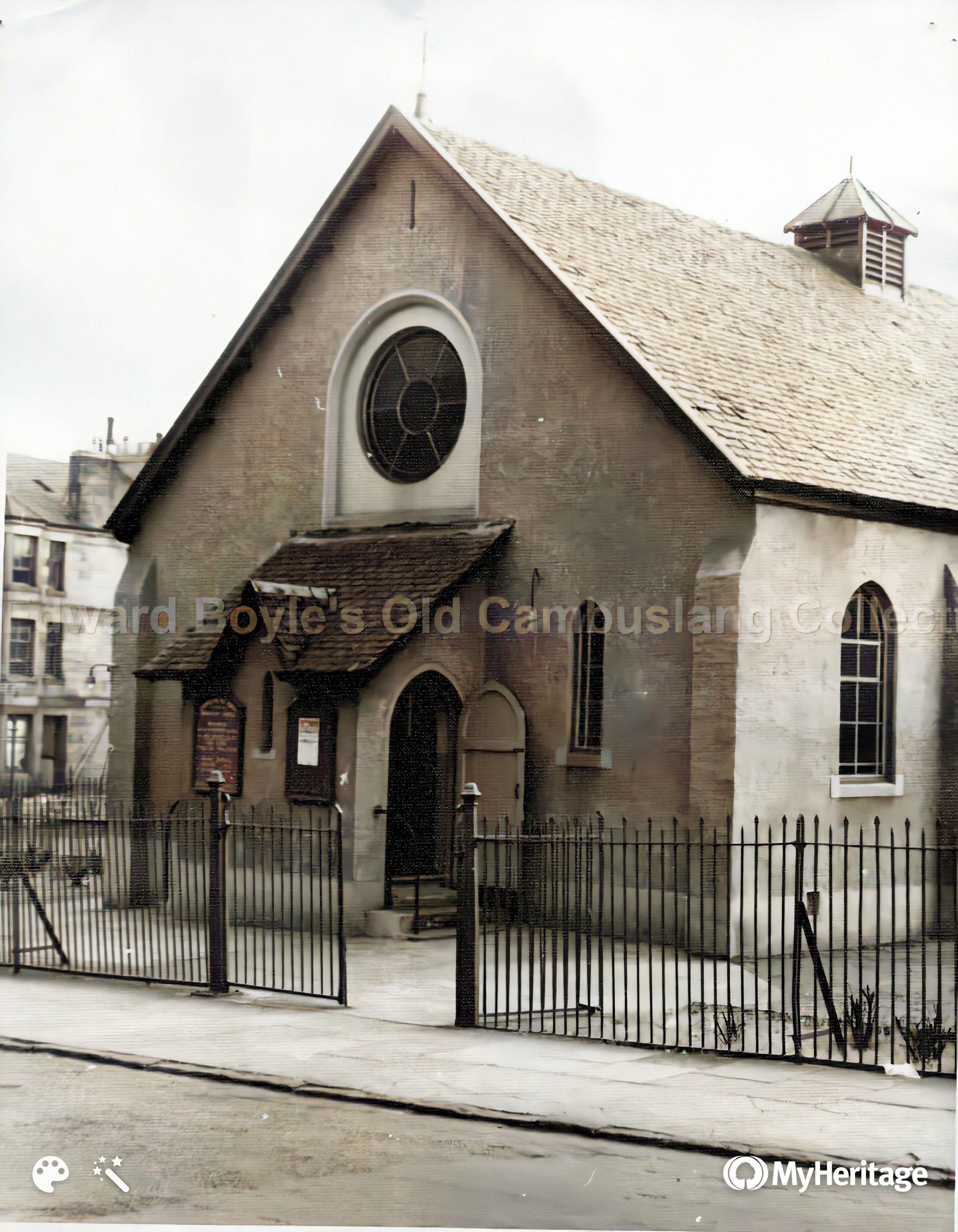
Morrison Church
Baptist Church
?
?
?
Junction of Greenlees Rd
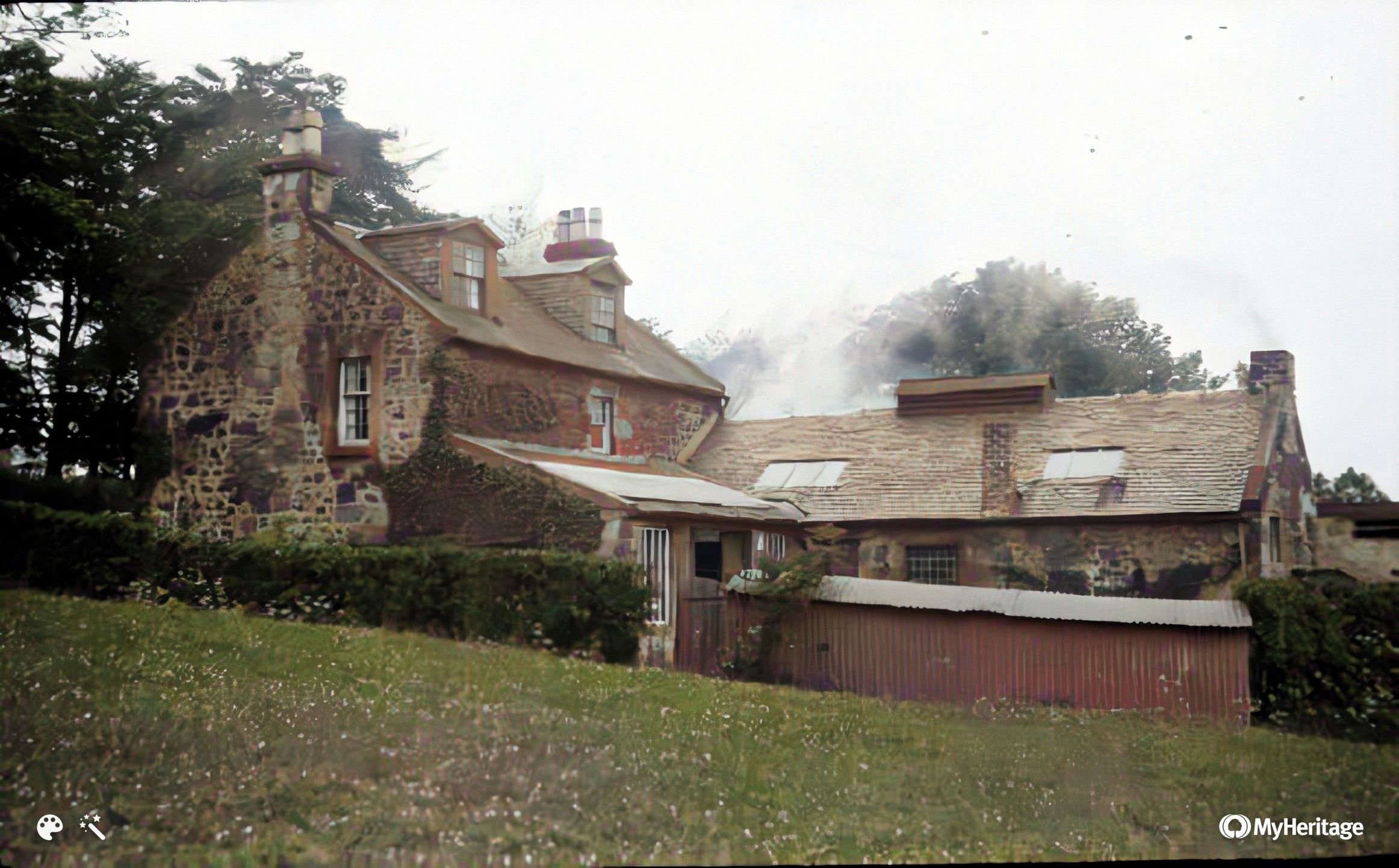
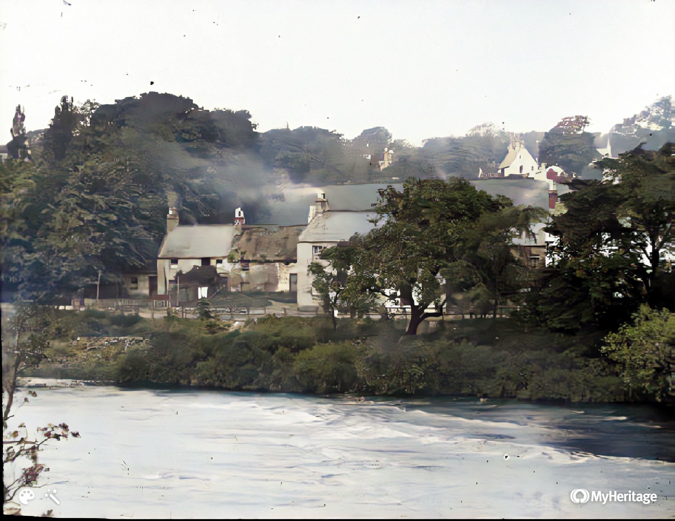
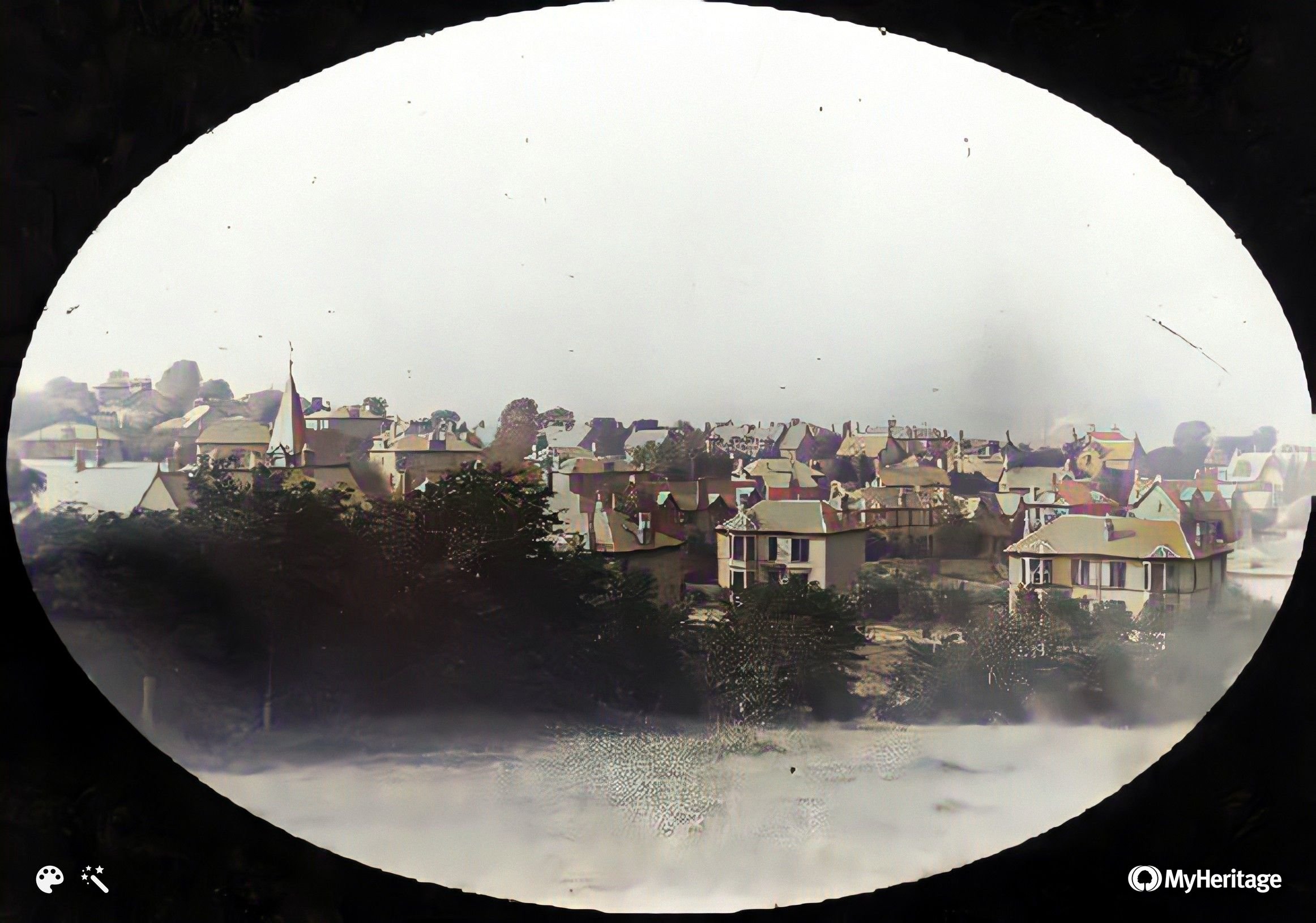
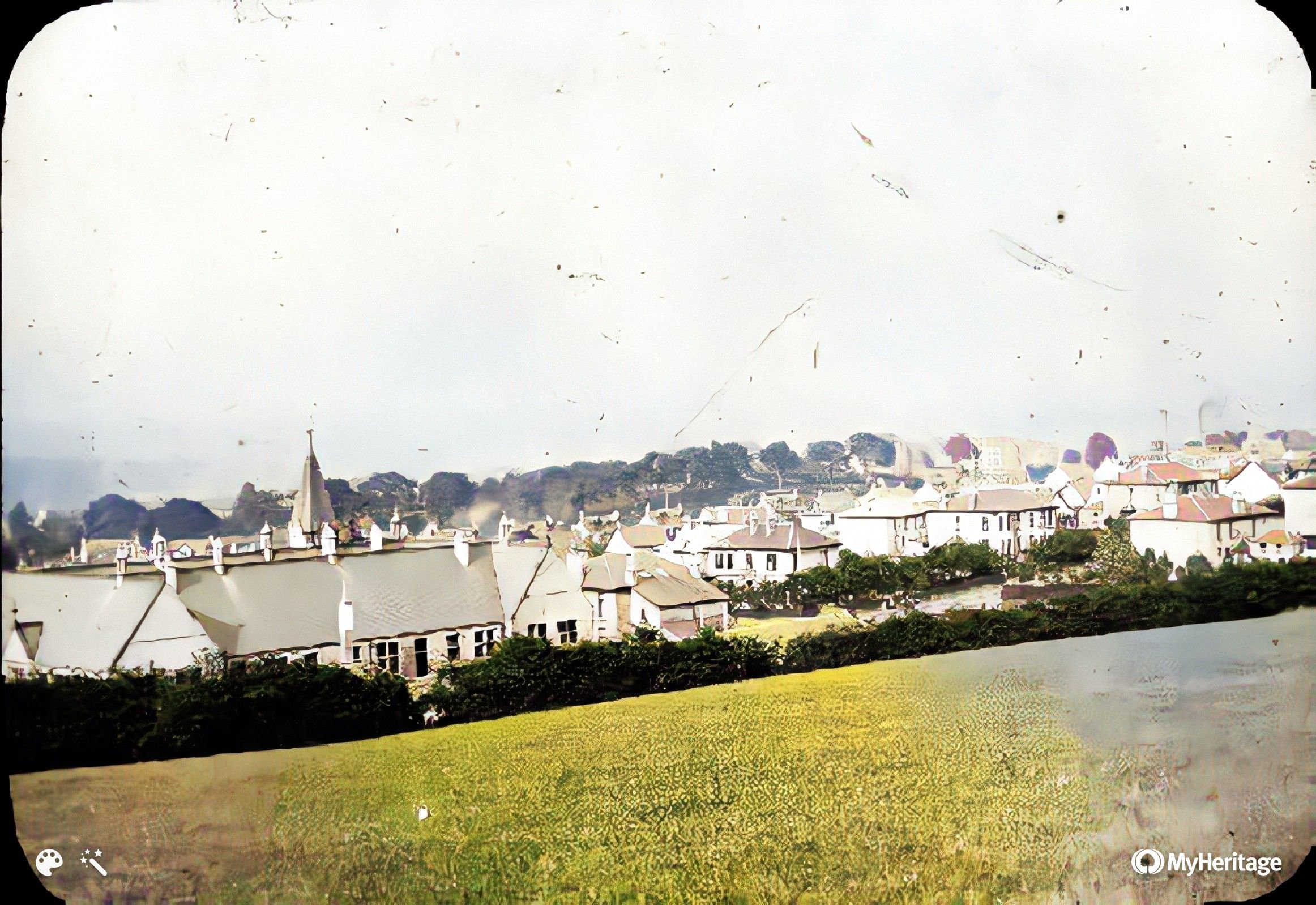
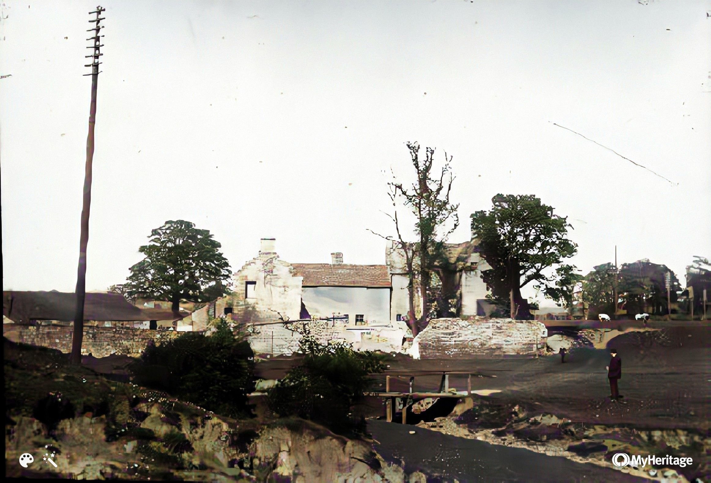
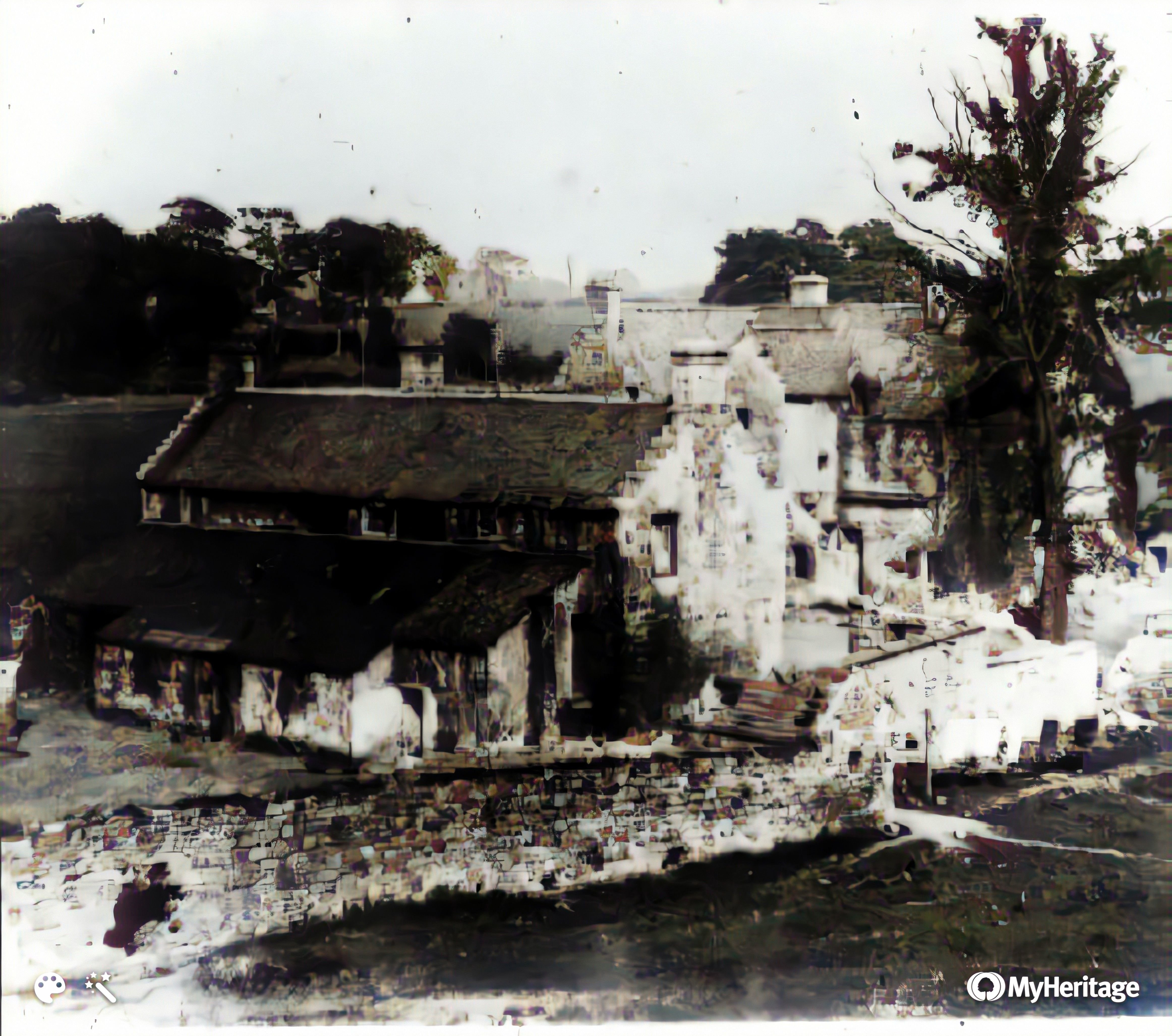
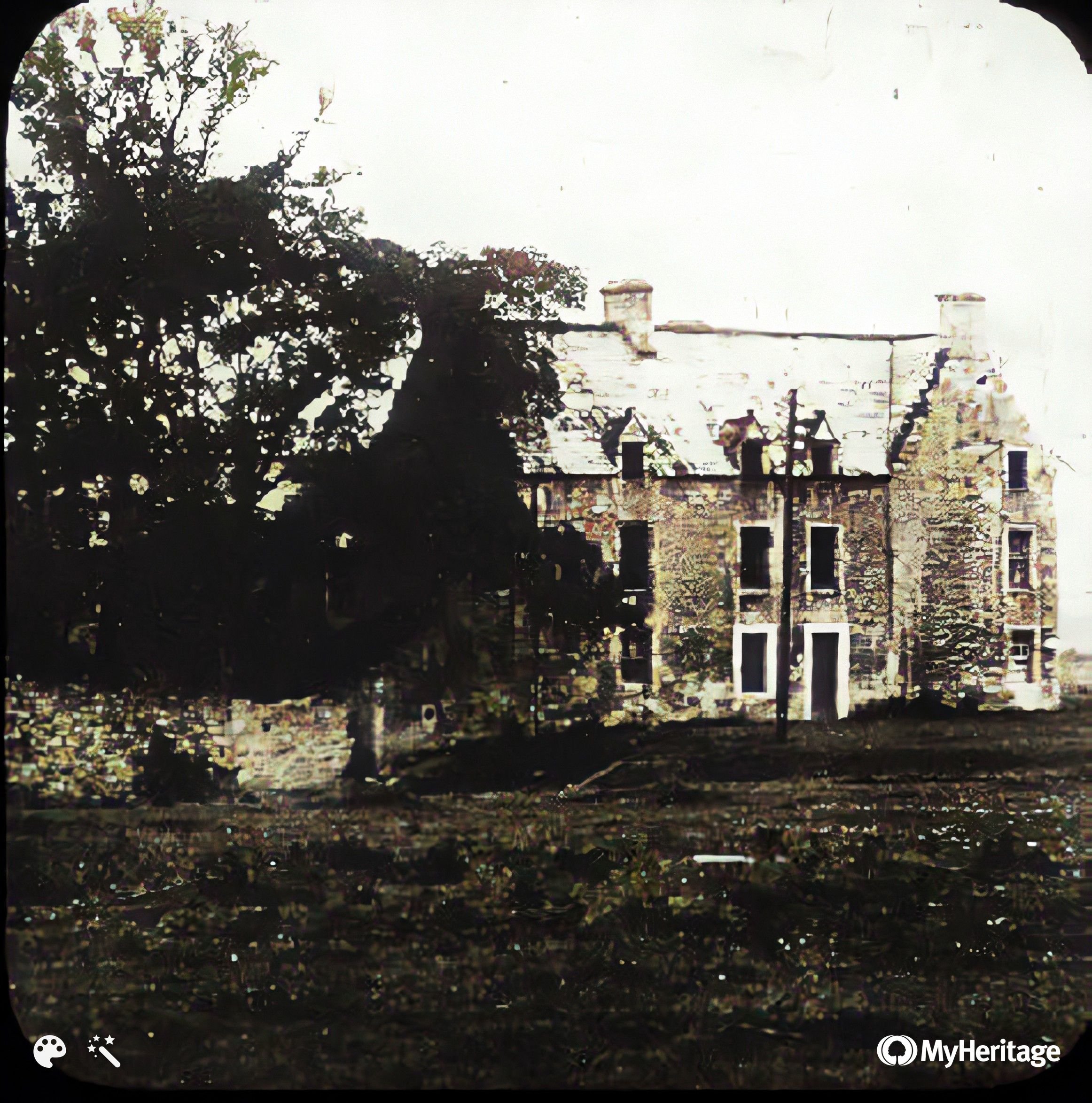
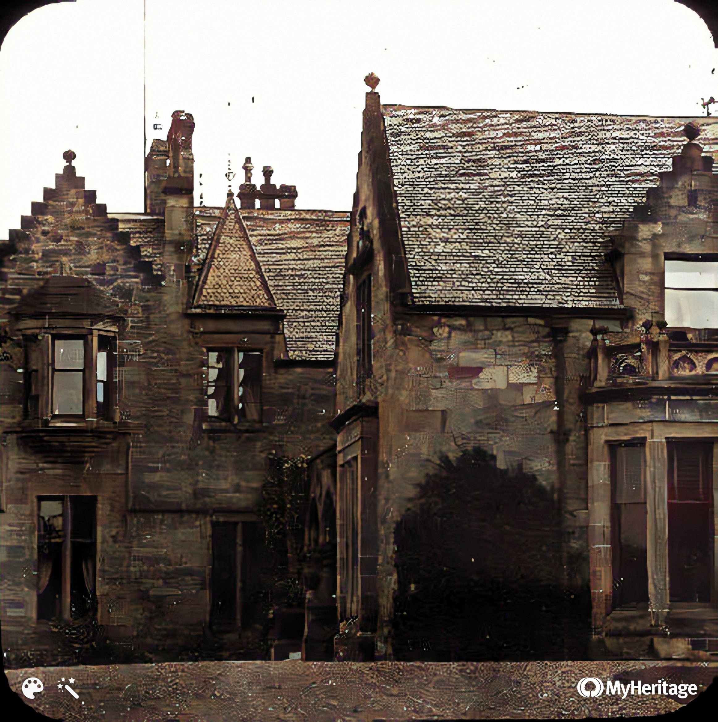
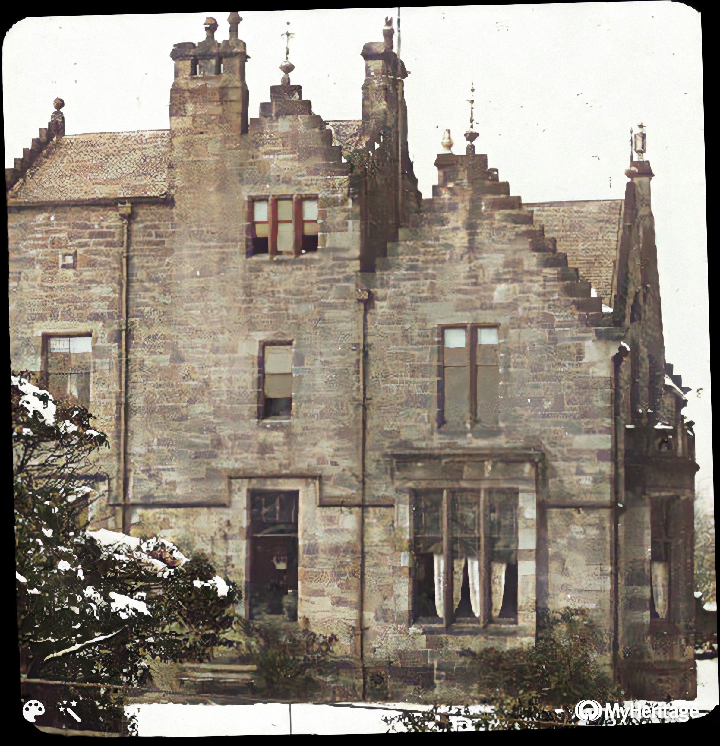
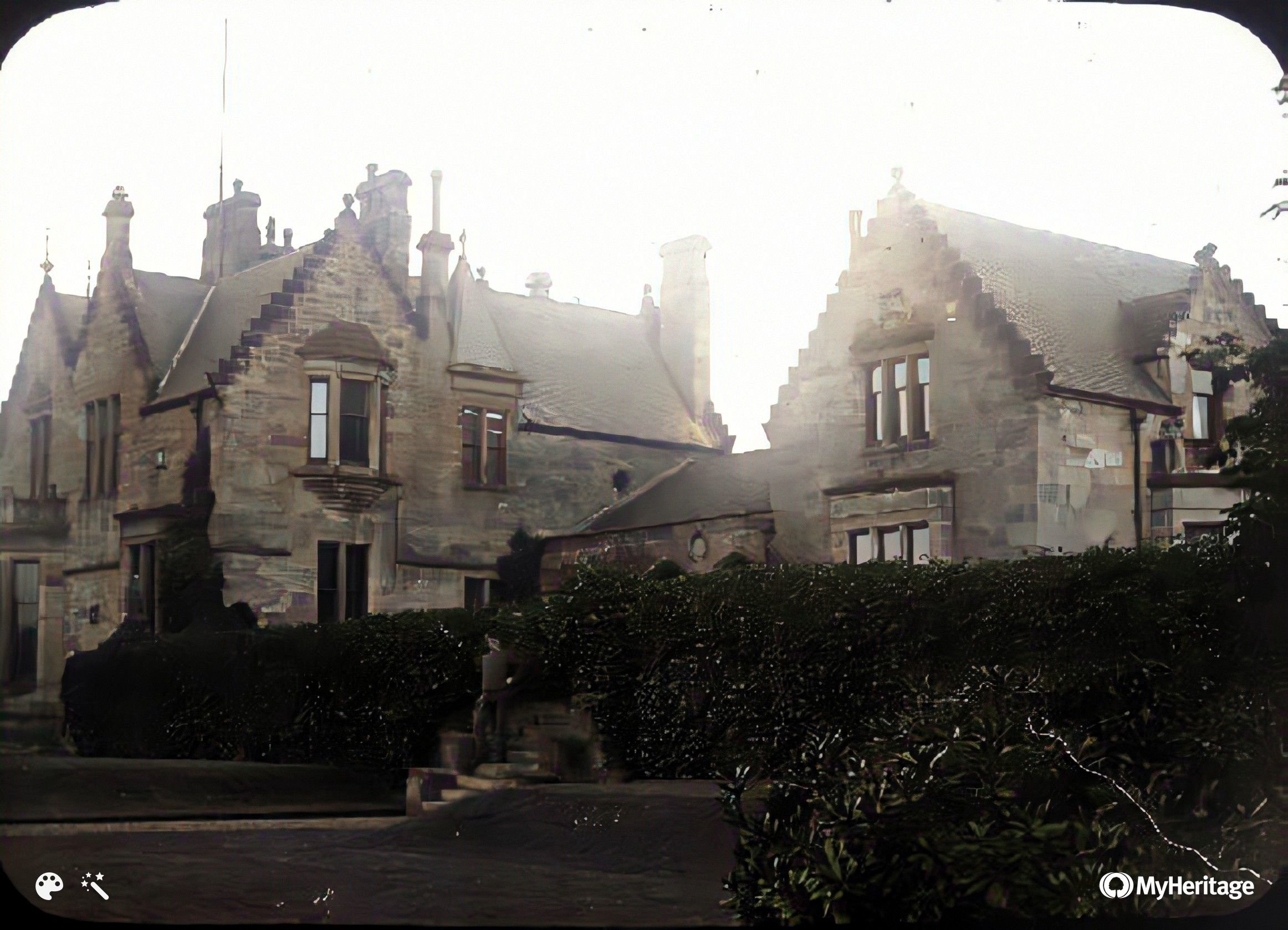
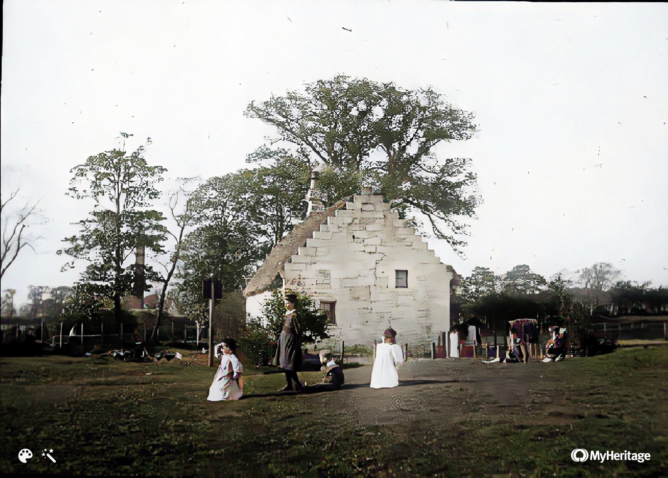
Westburn House and next 3
Thought to be Vicarland Rd towards
junction with Cairns Rd (see wall)
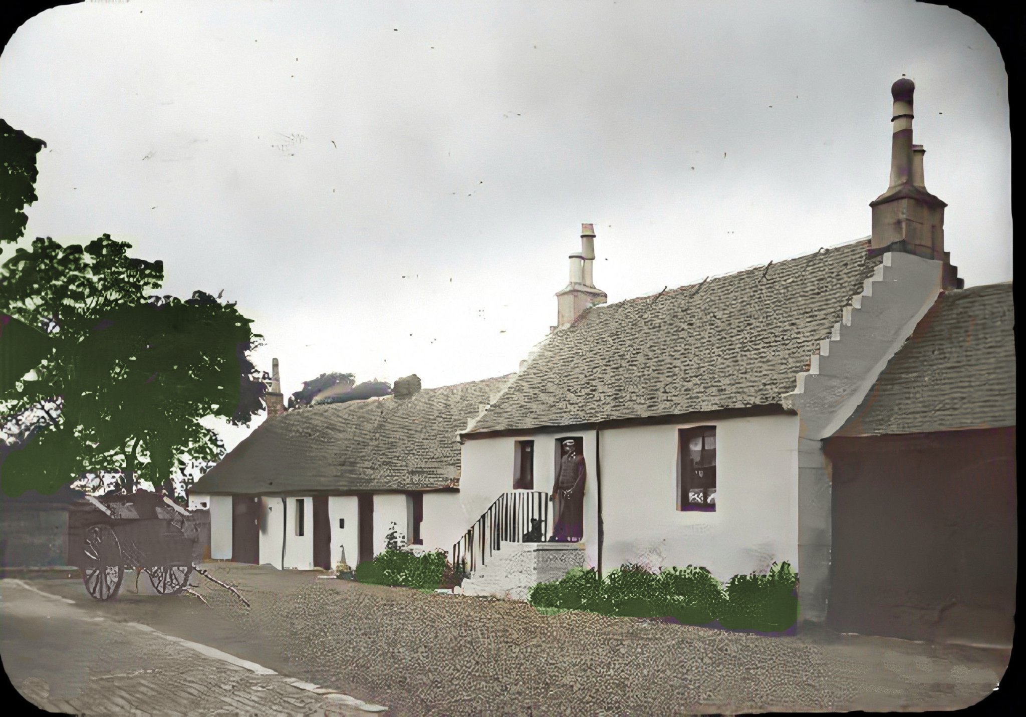
Suspected to be the building beyond the cart in this photo
?
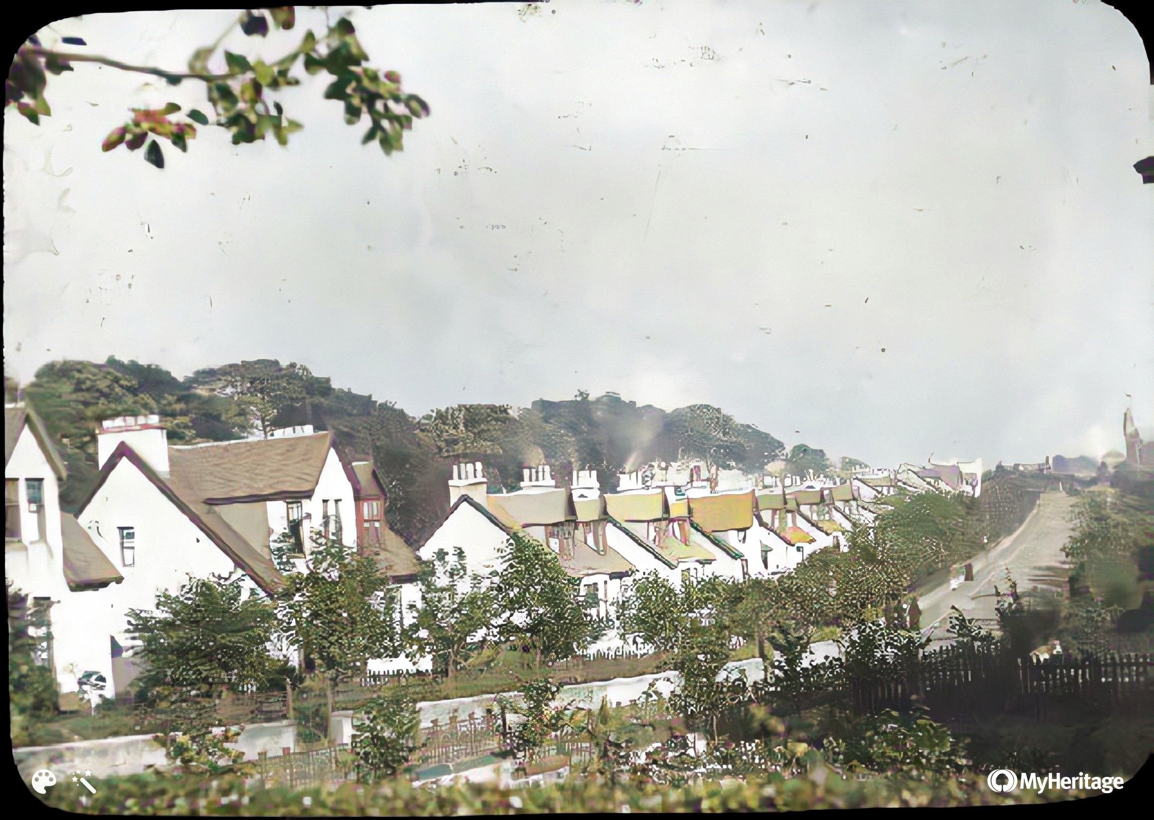
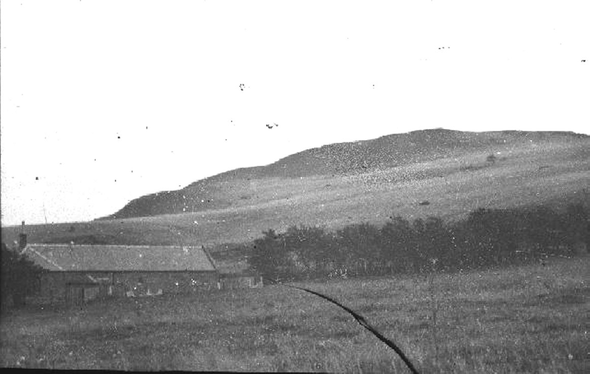
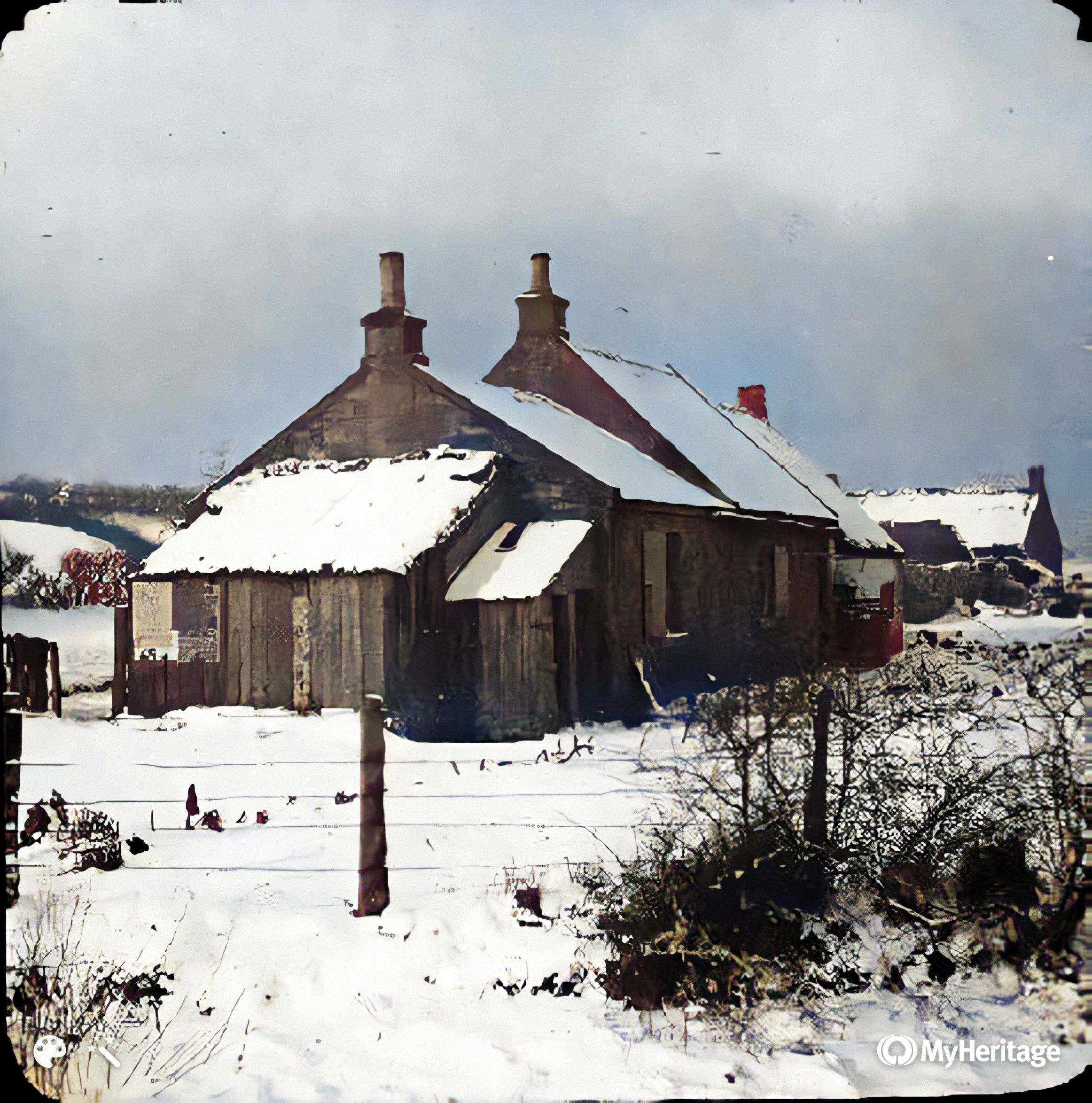
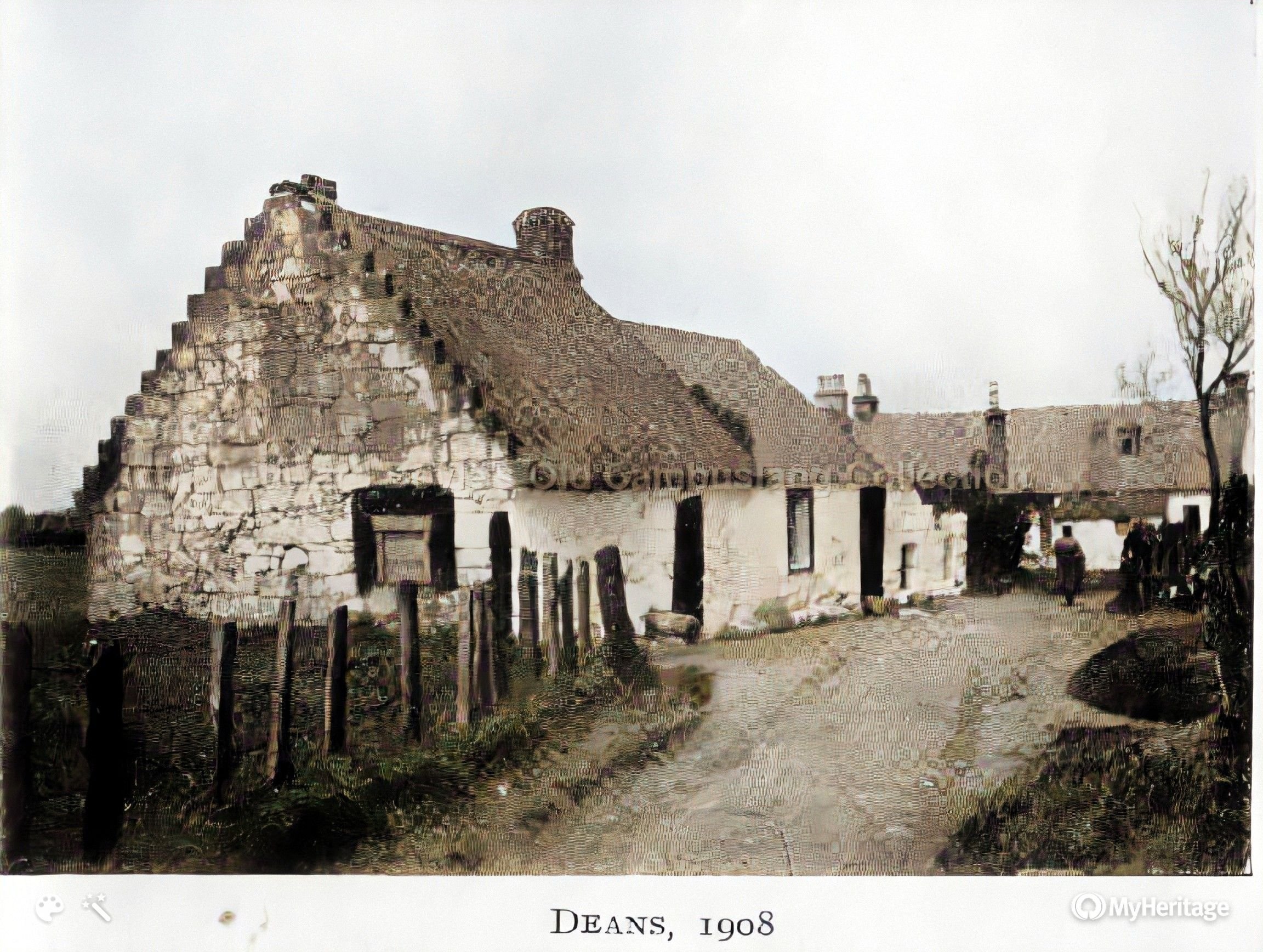
Thought to be Sauchiebog + next
?
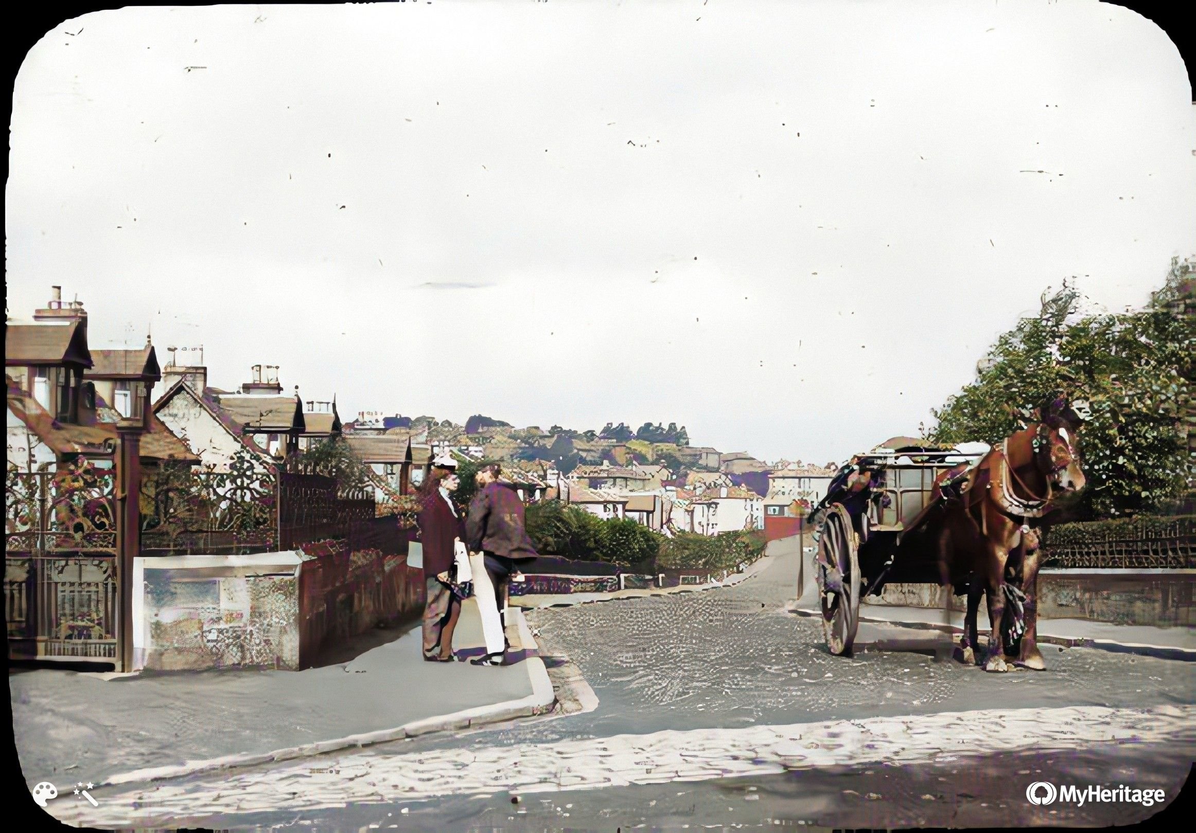
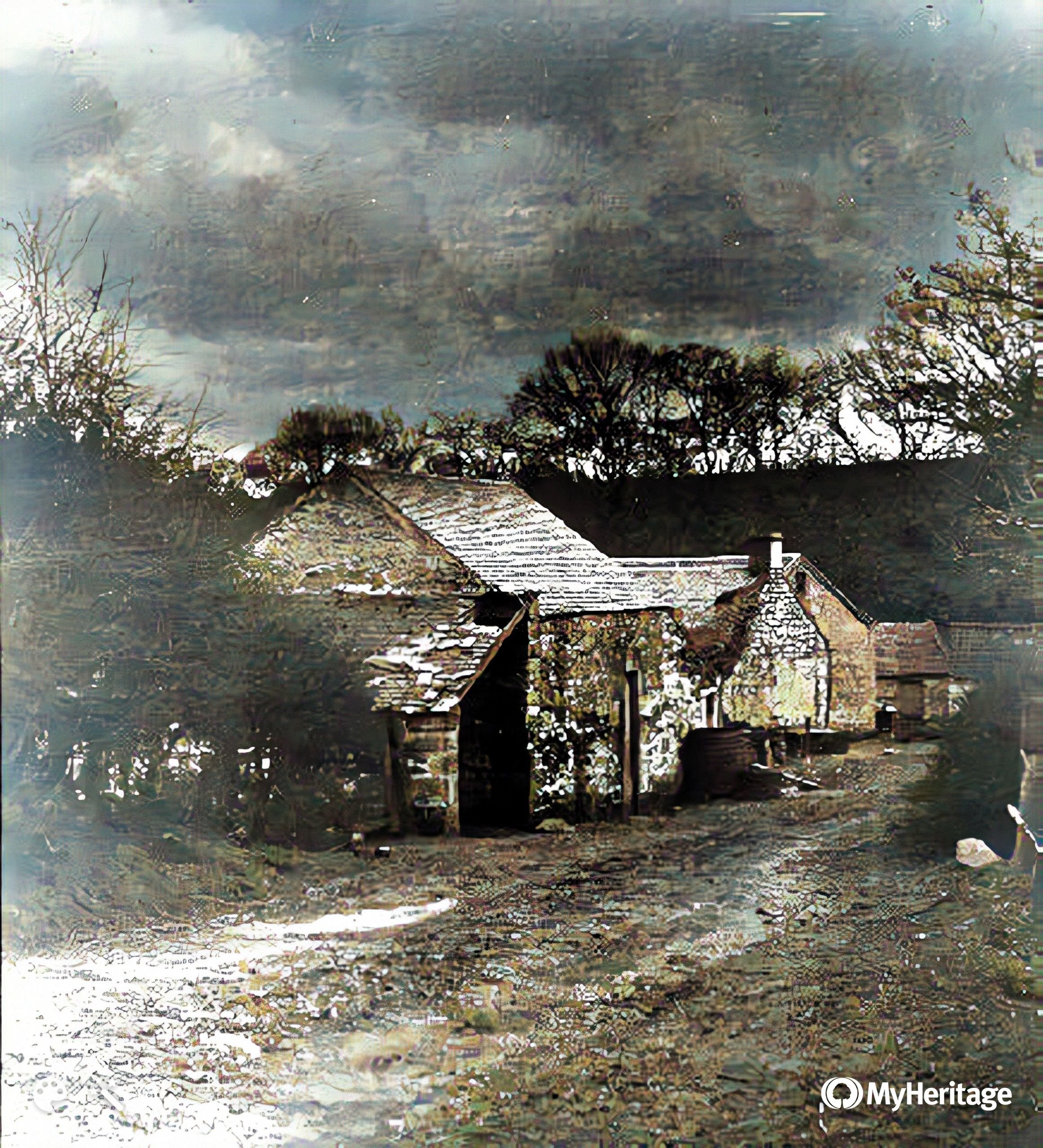
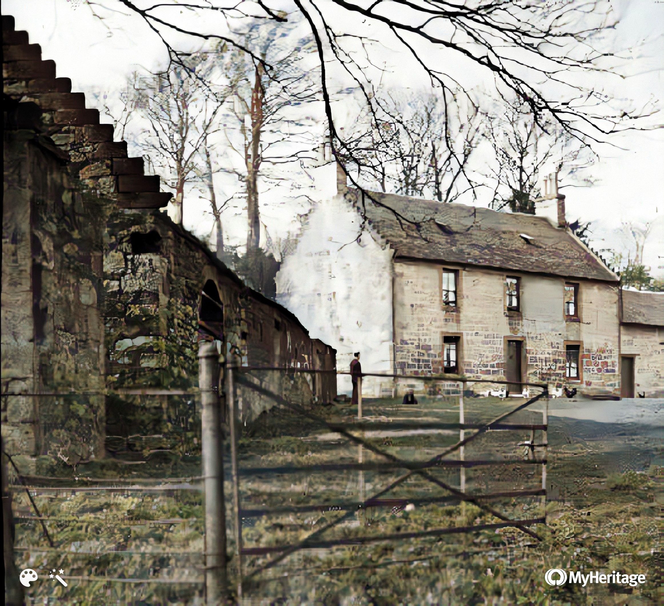
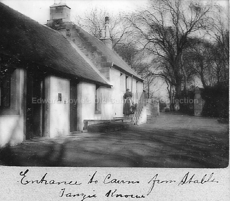
Entrance to Cairns Estate