Aerial9.jpg
Aerial2.jpg
Aerial1.jpg
Aerial16.jpg
Aerial8.jpg
Aerial4.jpg
Aeria20.jpg
Aerial11.jpg
Aerial15.jpg
Aerial6.jpg
Aerial12.jpg
Aerial17.jpg
Aerial7.jpg
Aerial5.jpg
Aerial3.jpg
Aerial13.jpg
Aerial14.jpg
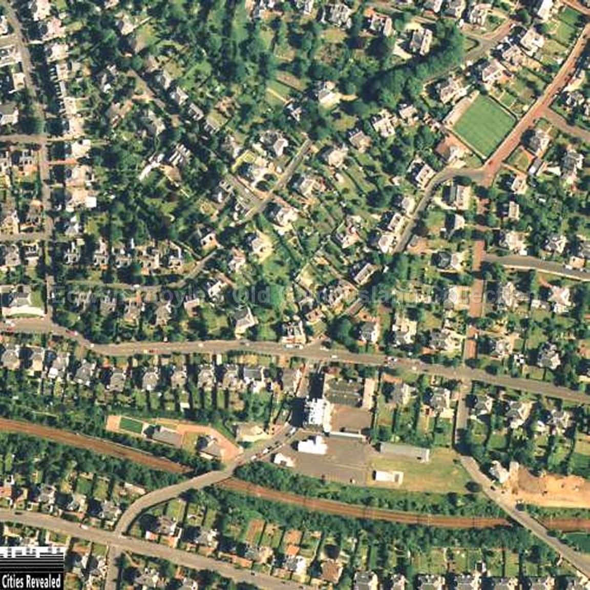
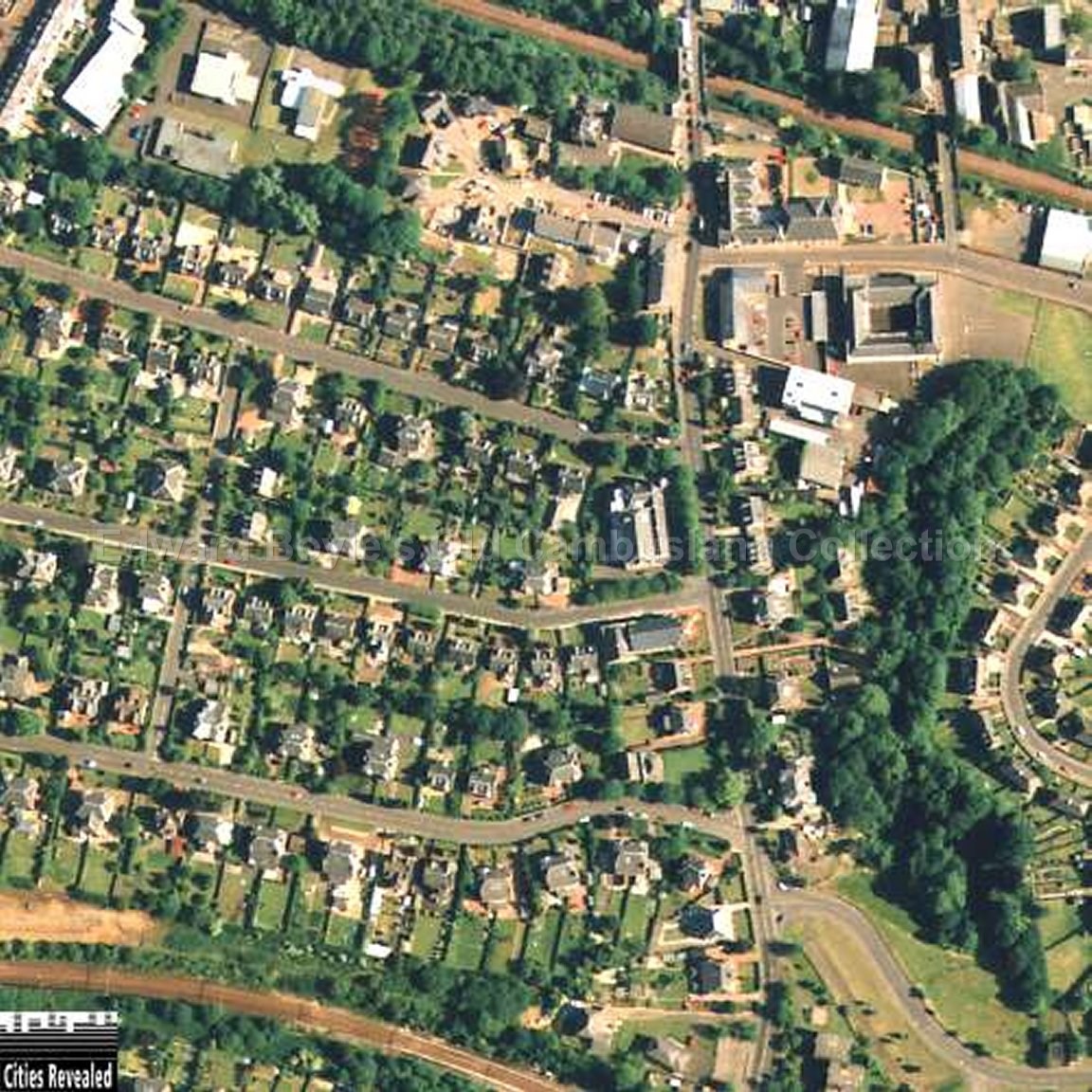
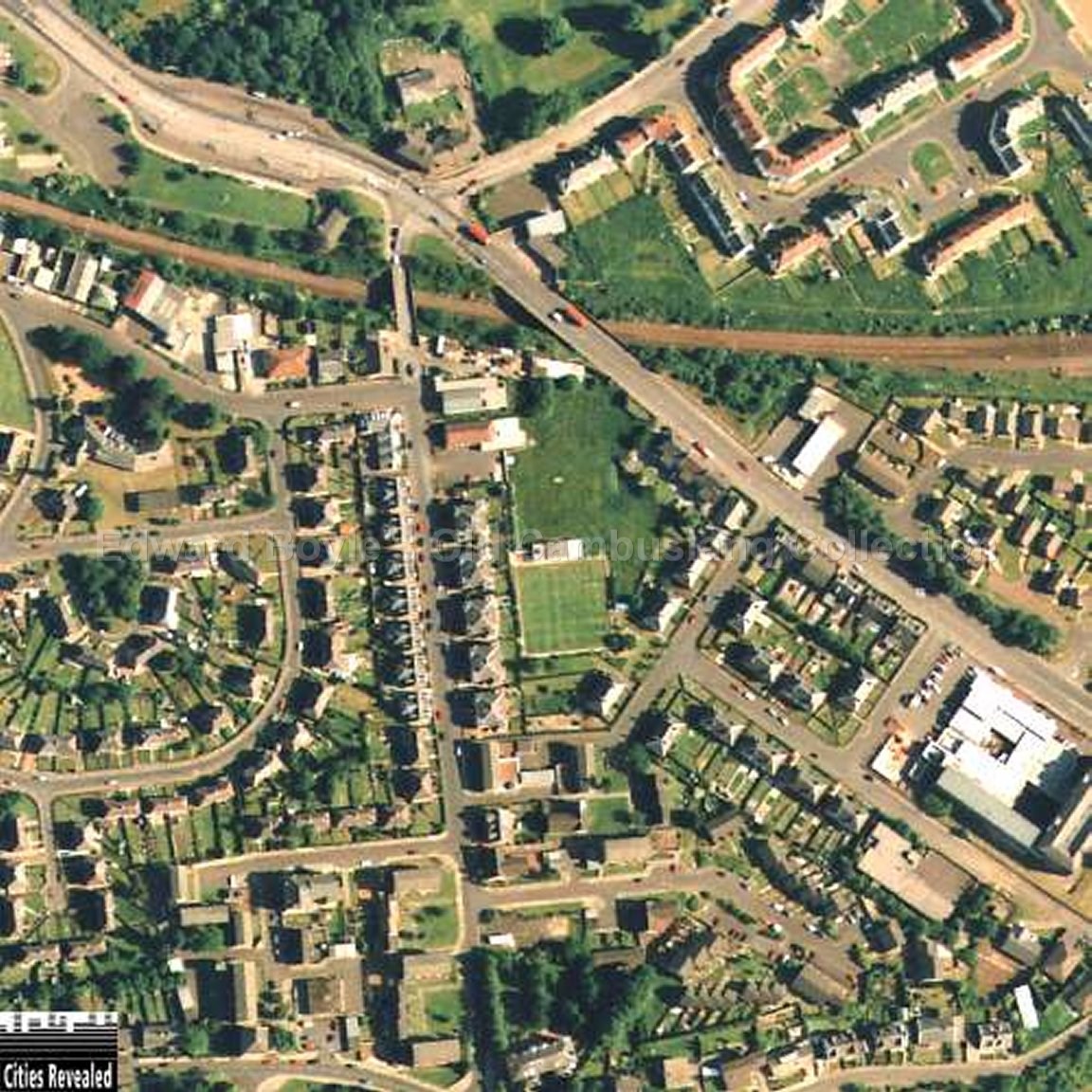
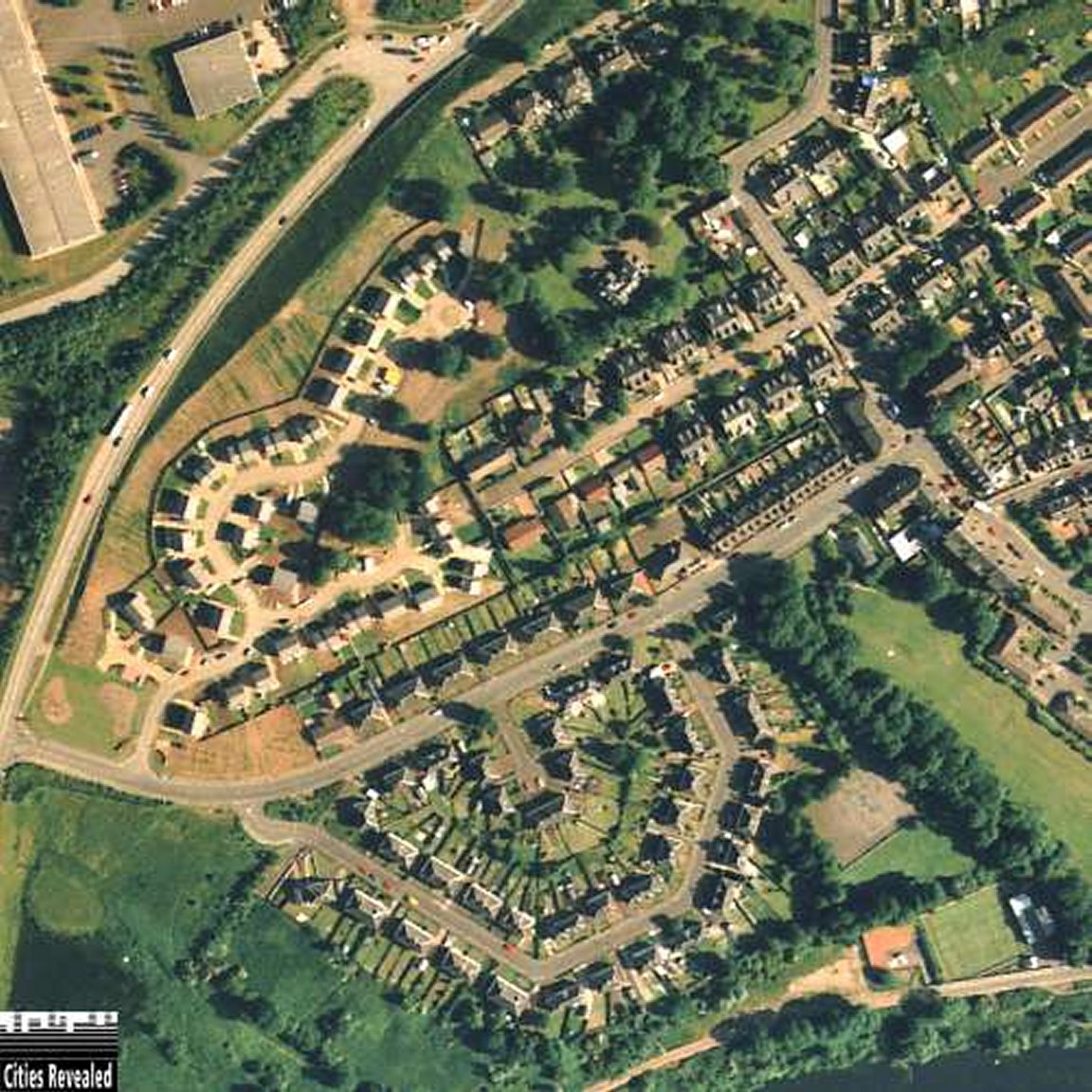
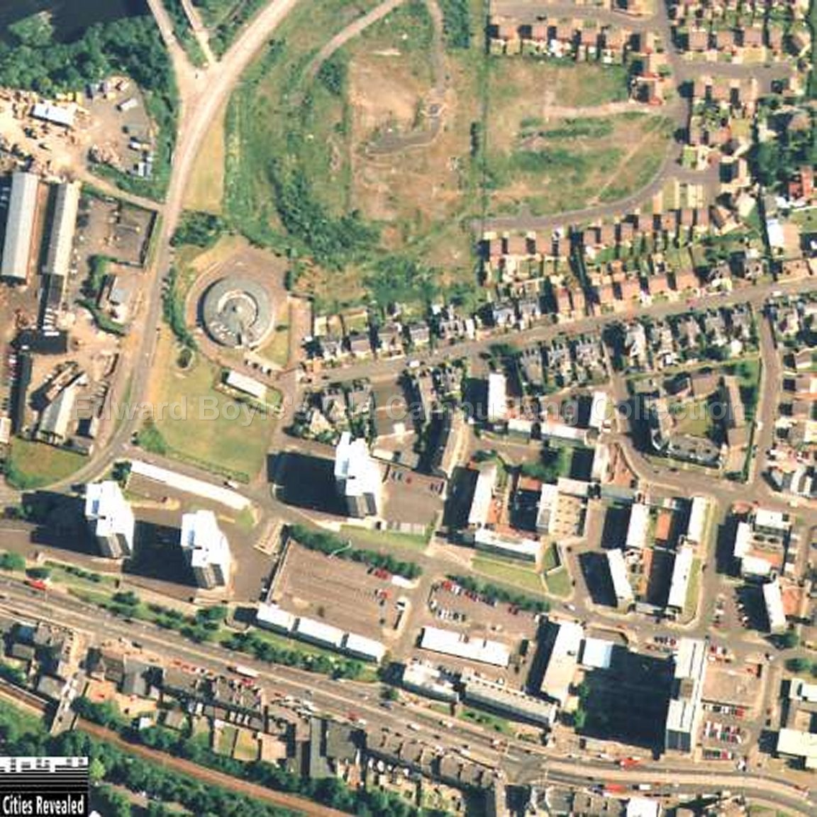
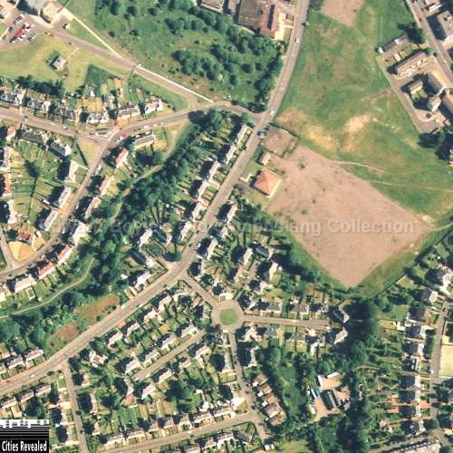
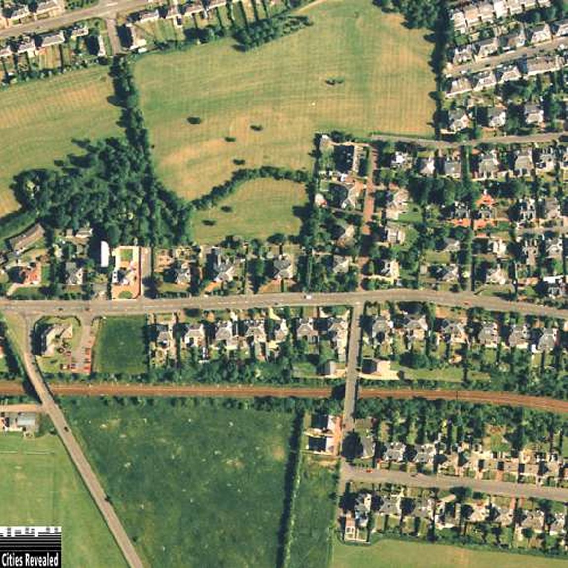
Joined
For those interested in their own such research I recommend the following websites..
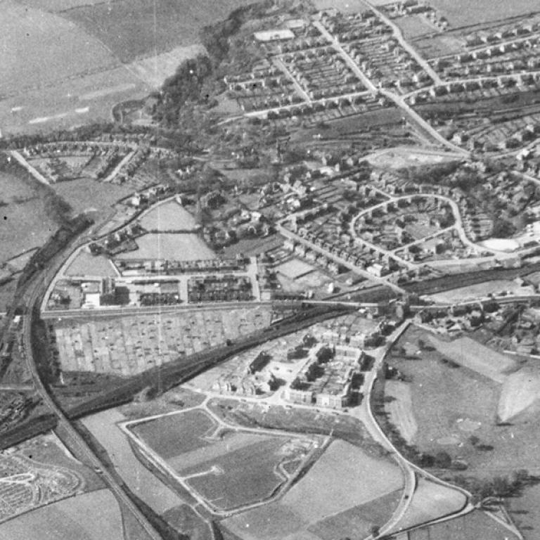
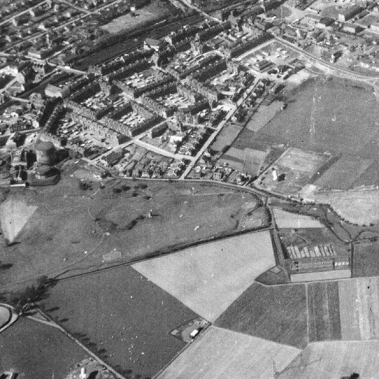
Bird's
Eye View - Cambuslang and surrounding area
http://aerial.rcahms.gov.uk
http://www.scran.ac.uk/
http://maps.nls.uk/
http://canmore.rcahms.gov.uk/
http://maps.google.co.uk/
http://earth.google.co.uk
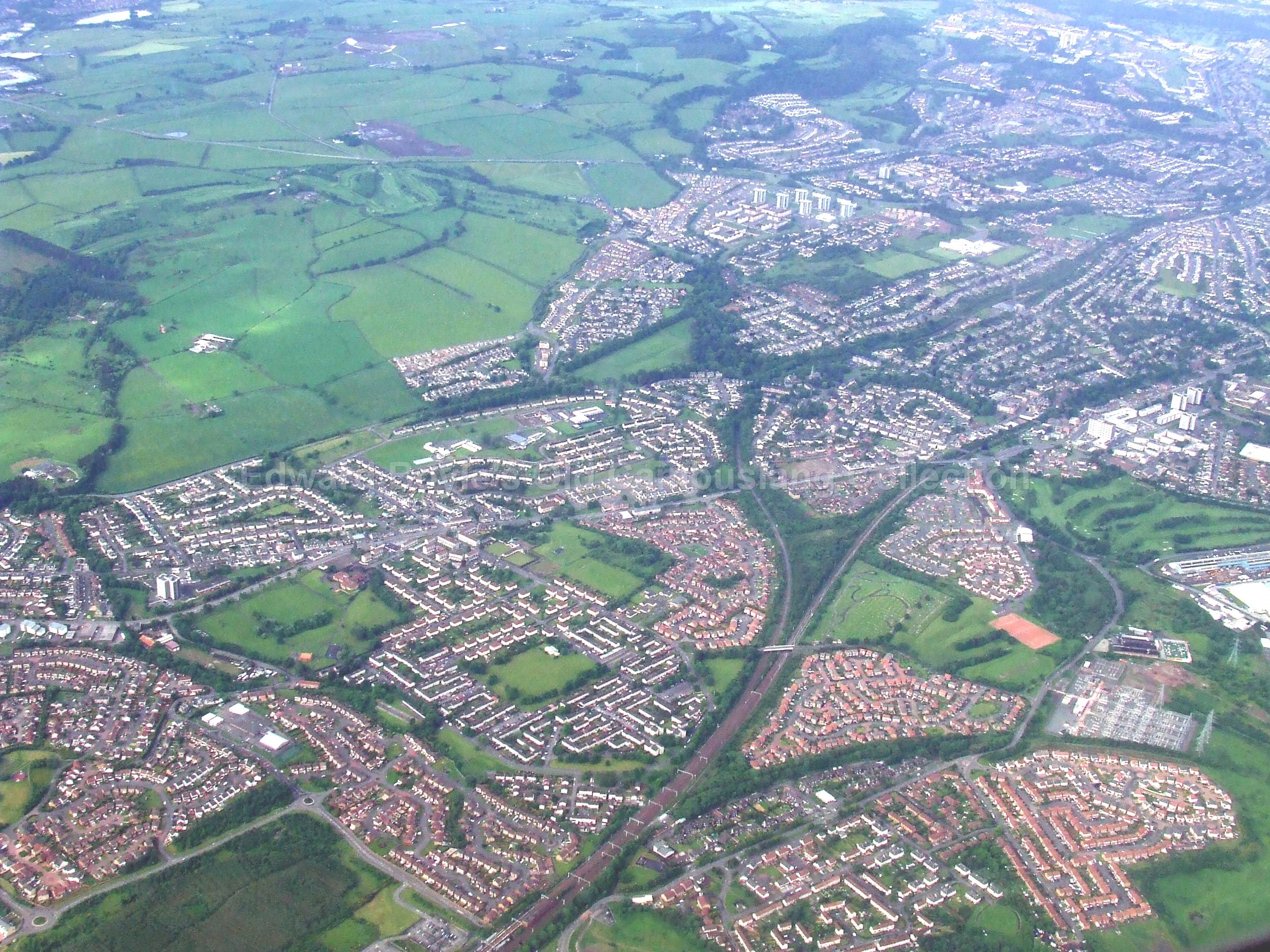
Since this series below was published years ago, there are numerous other aerial views which have become available ie, Google Maps, but the images are still worth looking at.
The following are links to an external websites
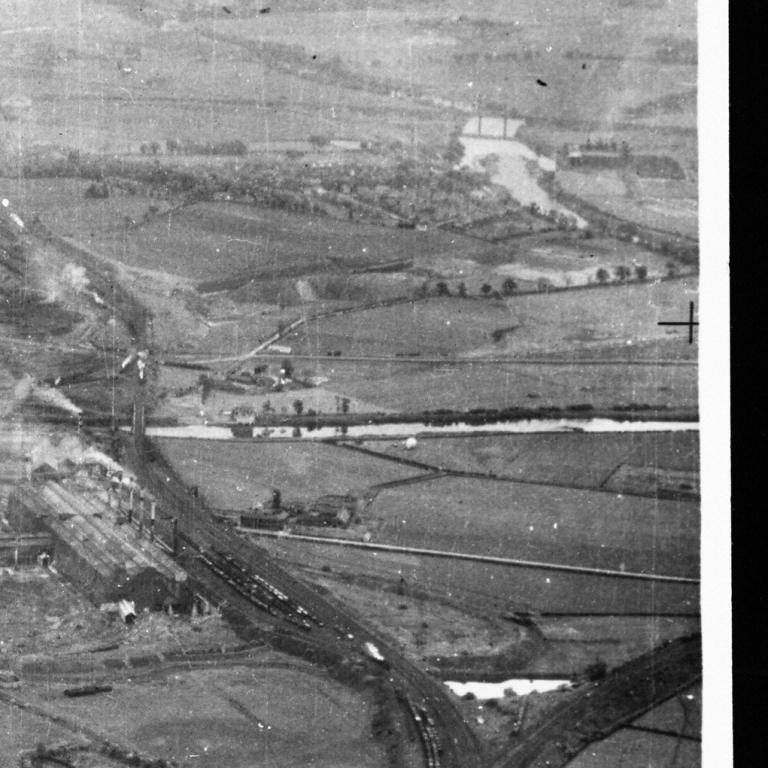
1946 Blantyre and Halfway South
Wartime aerial photos. Taken by an RAF reconnaissance plane in 1942 to test barrage balloon camouflage locations in the Clyde valley.
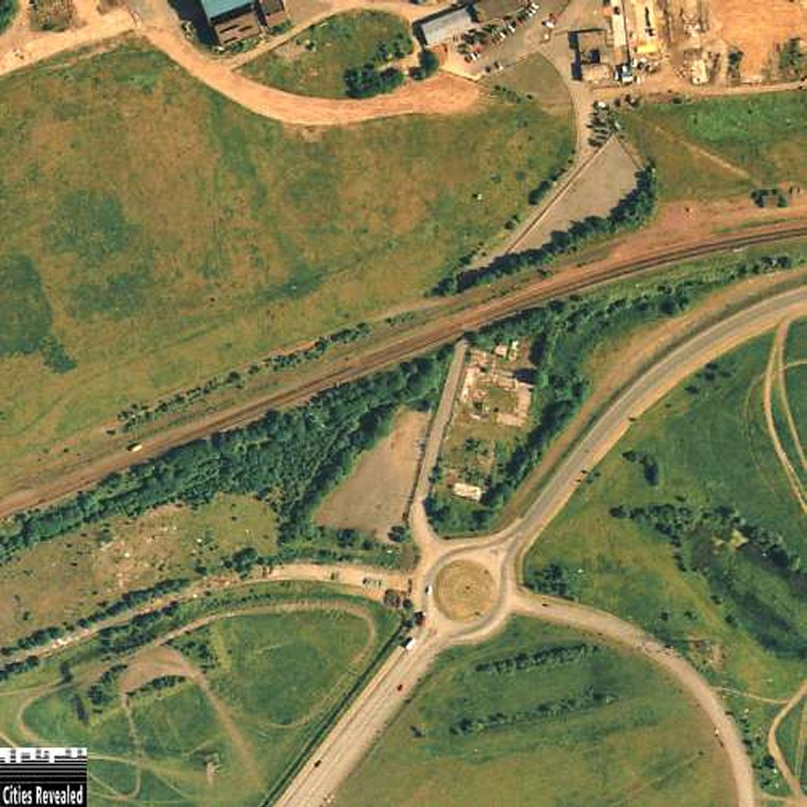
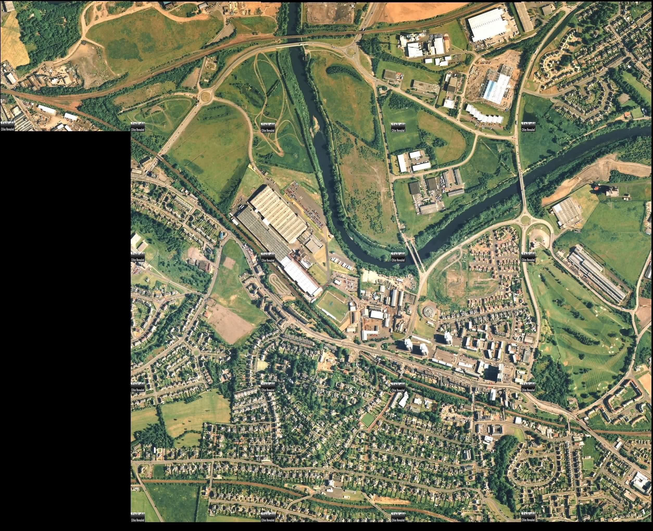
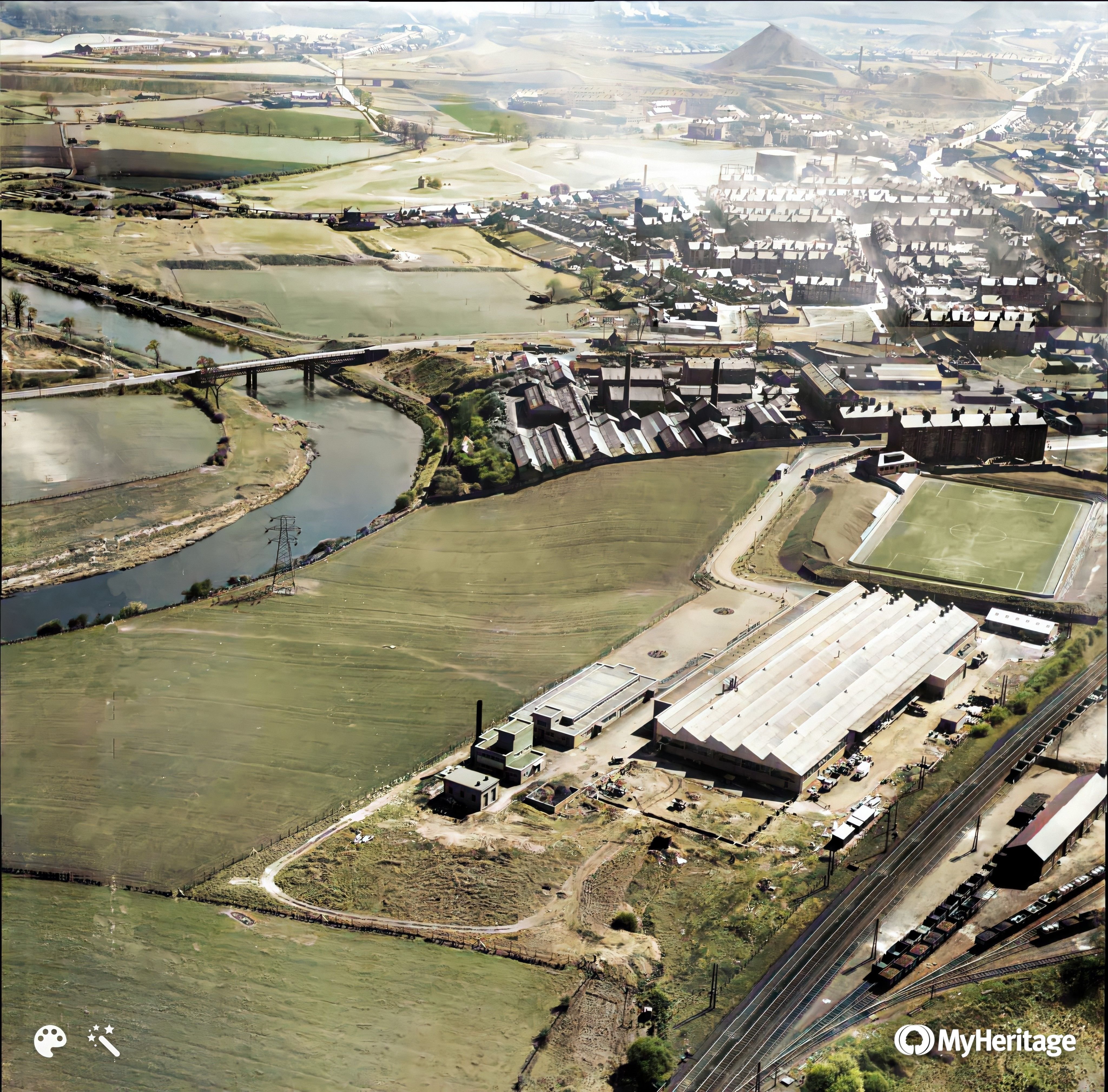
Smashing mosaic view over Halfway towards Cambuslang - Compare this with a current aerial photo kindly donated by Thomas Nugent of www.geograph.org.uk June 2013
I'm afraid you will have to pay a subscription to see these in higher resolution.
Some of these photos contain views of barrage ballon locations. I've counted 10 so far. A map showing the locations (in yellow) can be see seen here.
Photos of the map locations
Westburn Farm on the road to Clydesmill
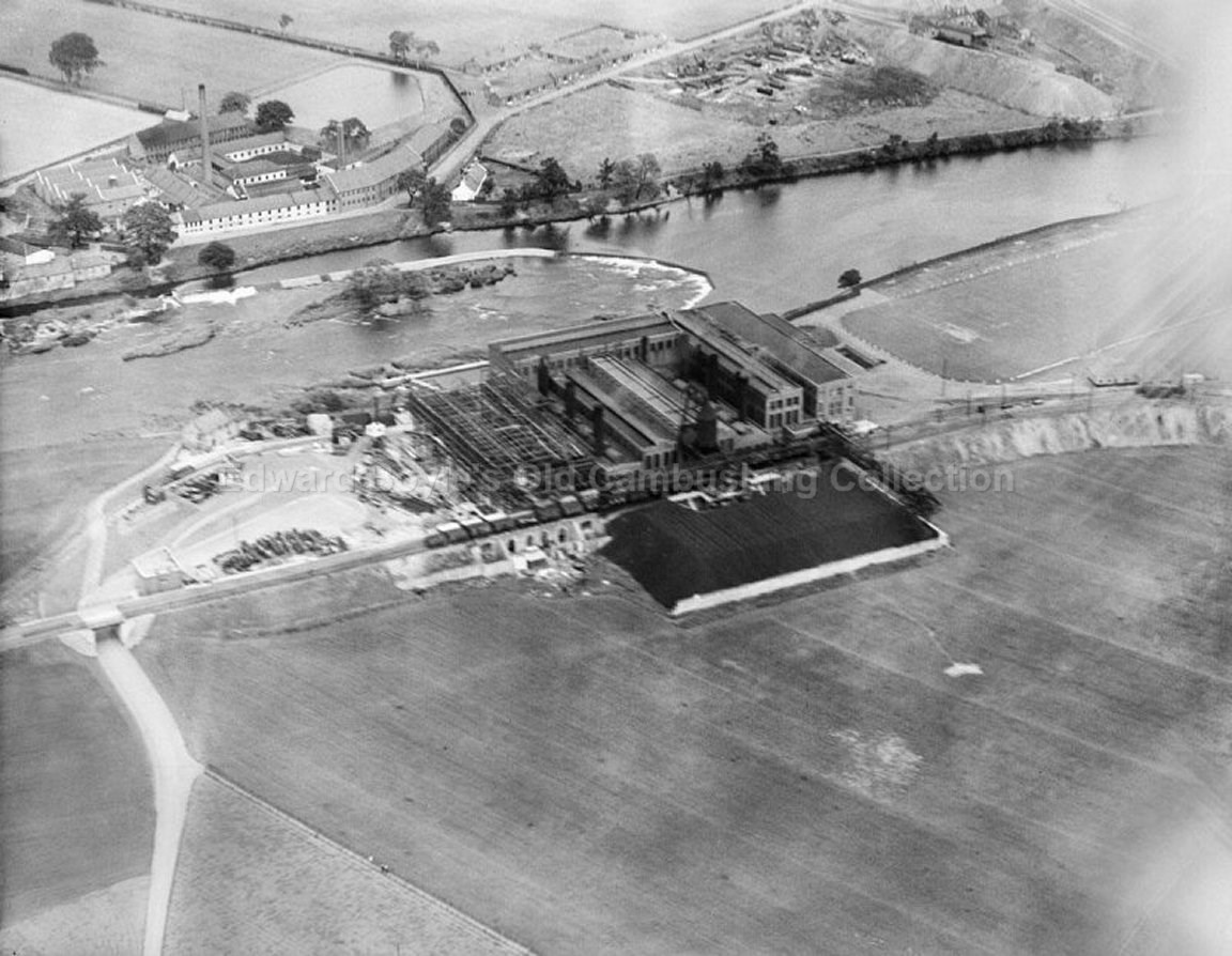
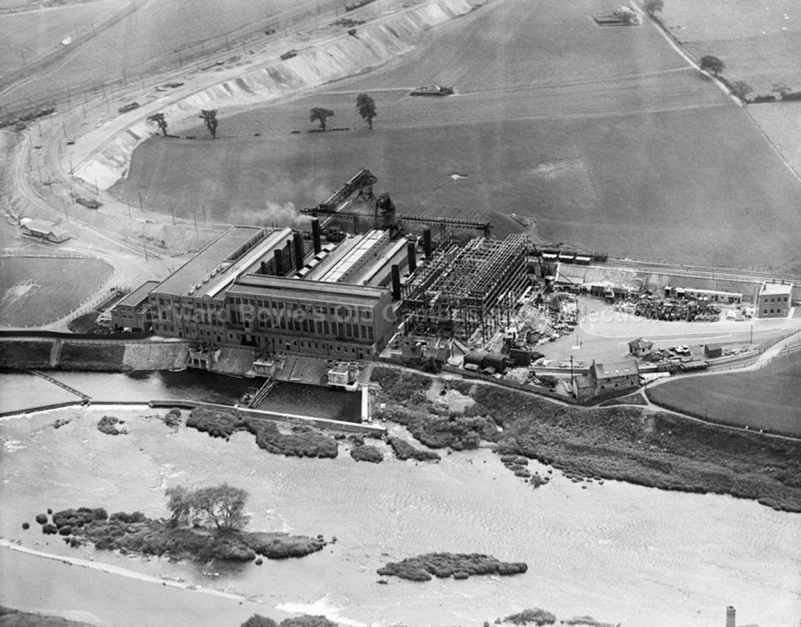
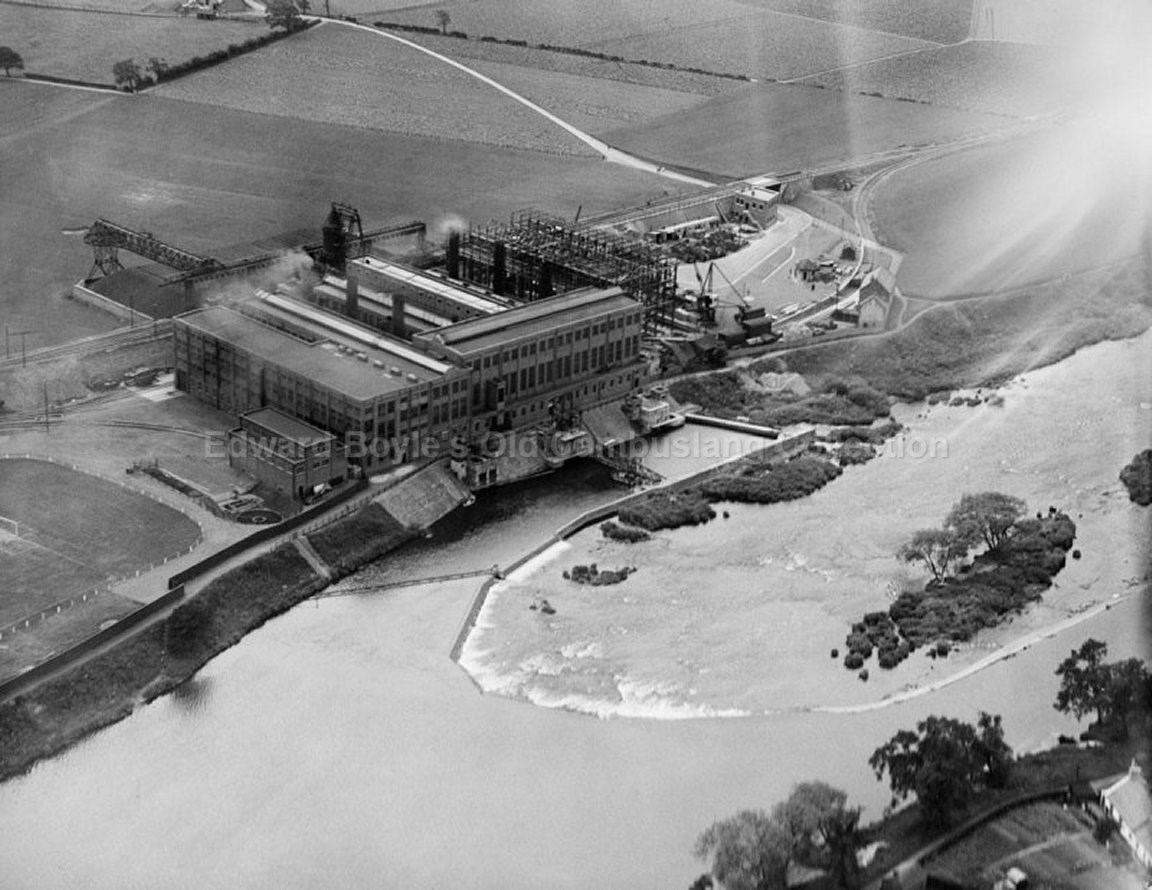
power station
Hallside near farm
Halfway Swing Park behind Miners Welfare
Croft Road behind ex-servicemans hall
Clydeford Road where a new housing estate now
exists
Carmyle across the river
Brandy Bing to the left
Bogleshole Road next to the Clyde
Westburn
The balloons are tethered close to the ground, presumably so that the plane taking the photos has a clear run. In some of the enlarged photos you can clearly see air raid shelters set up in back courts etc.
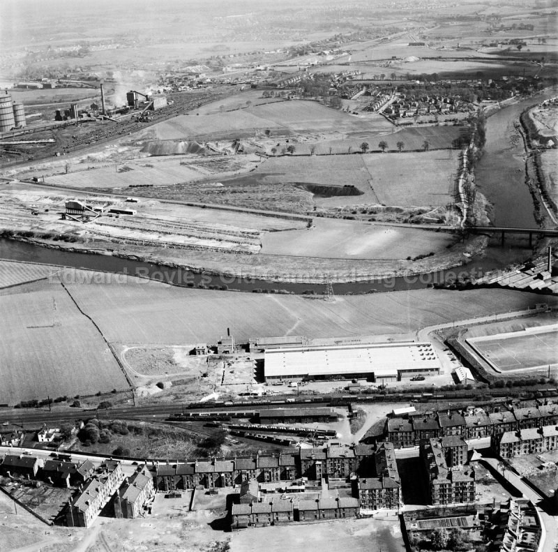
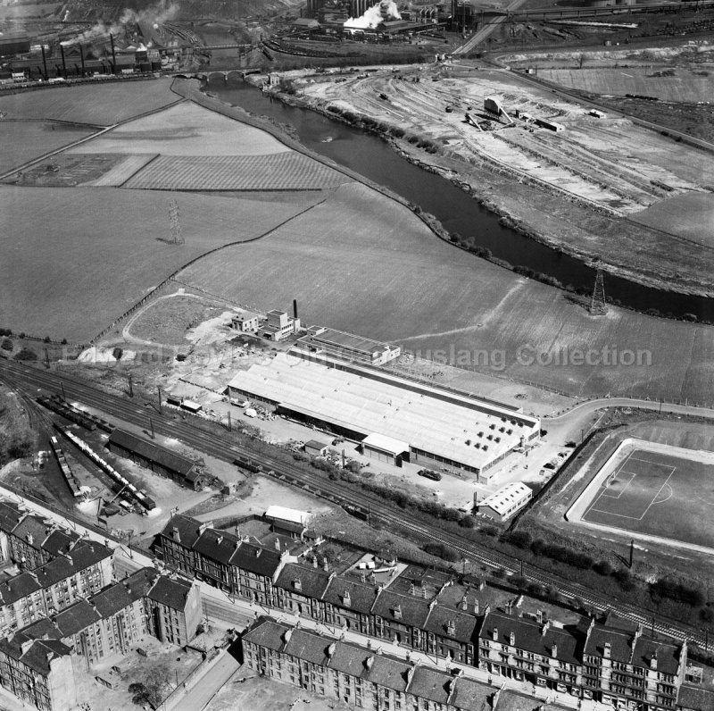
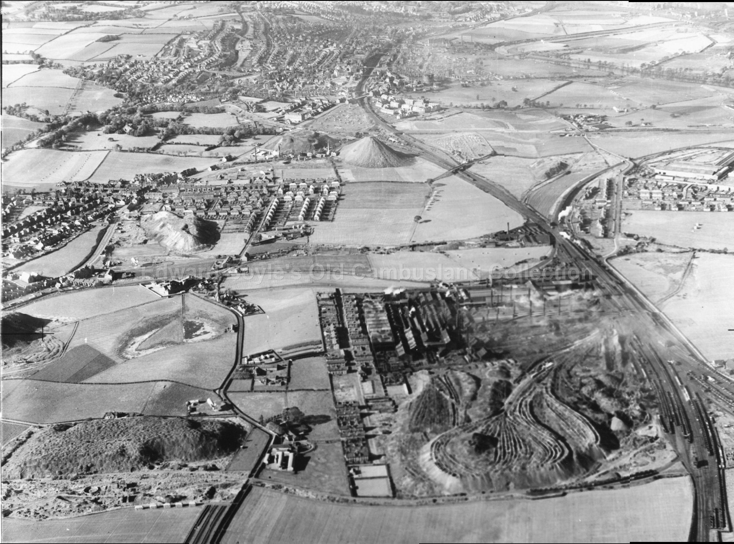
These views courtesy of aerial.rcahms.gov.uk - (taken 1949 by a firm called Aerofilms )
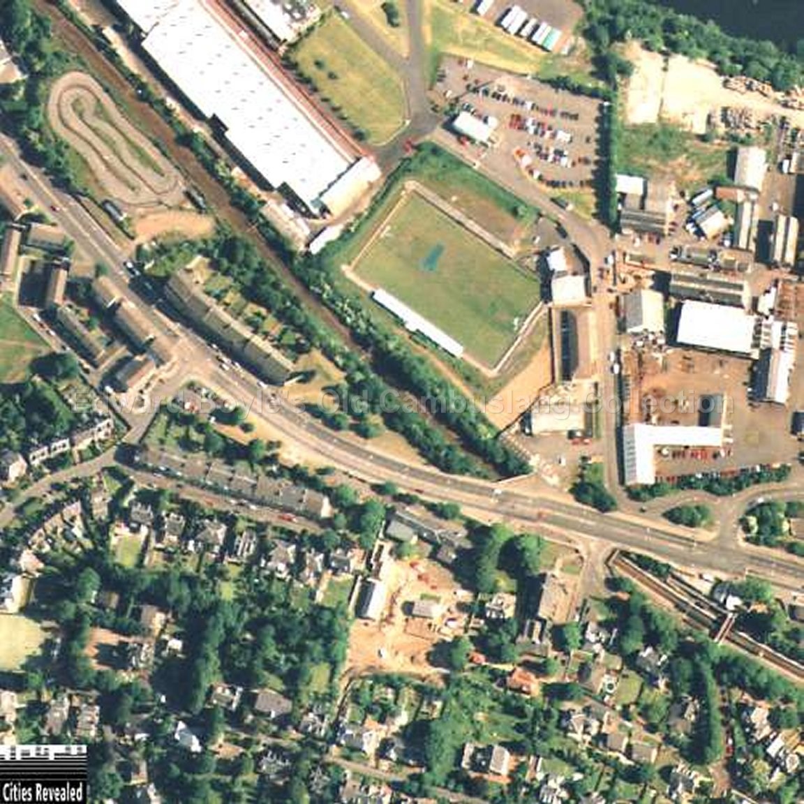
Centred on the Hoover Plant
.jpg)
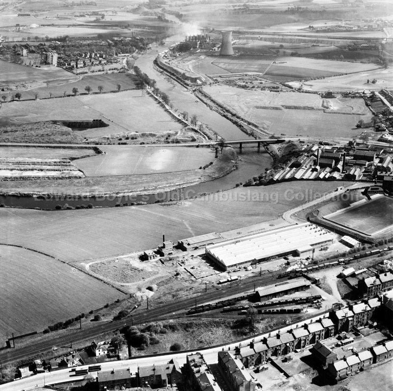
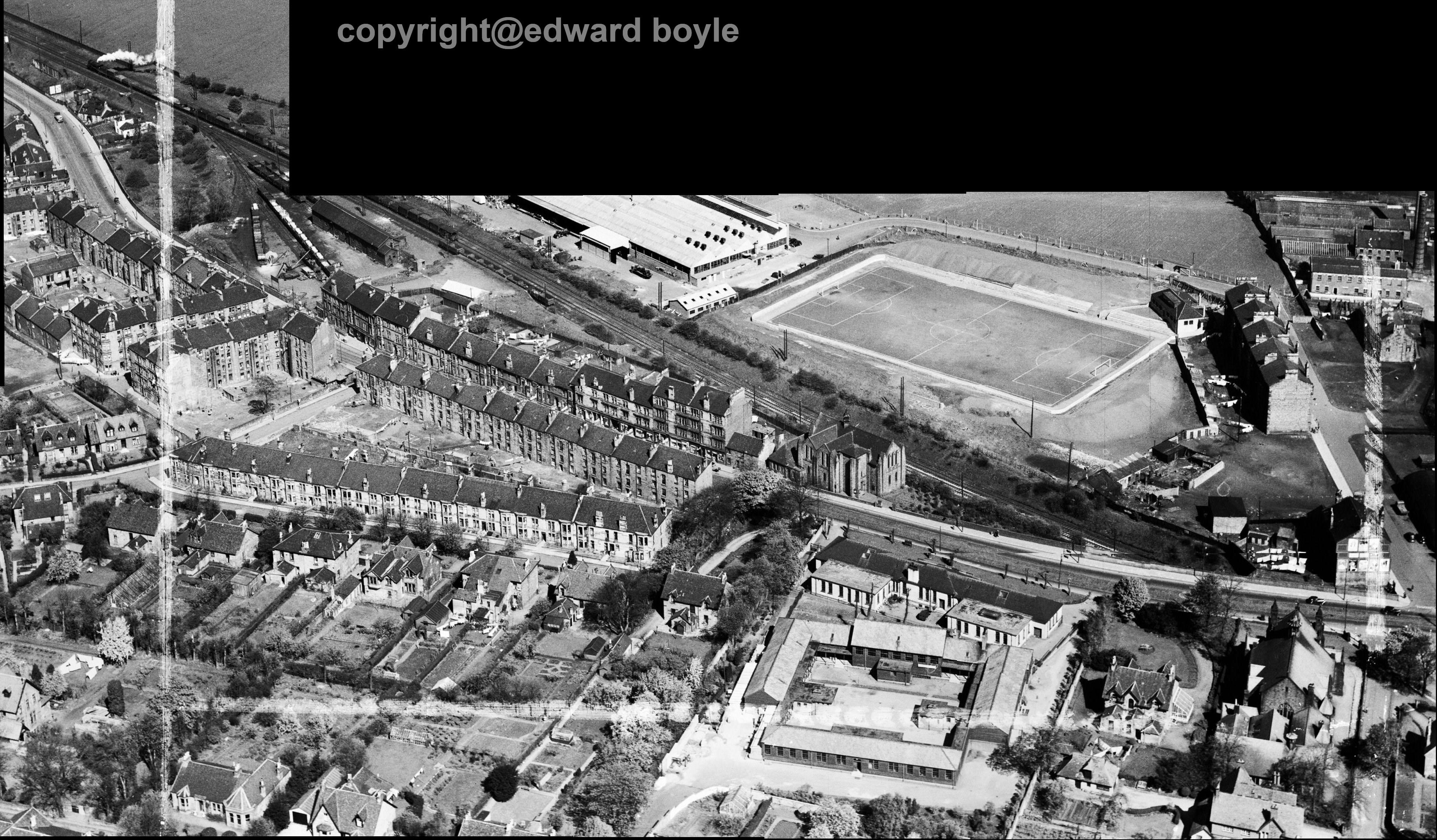
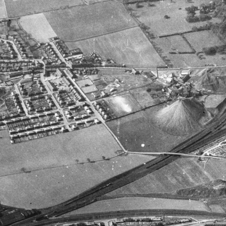
Centred on Clydesmill Power Station
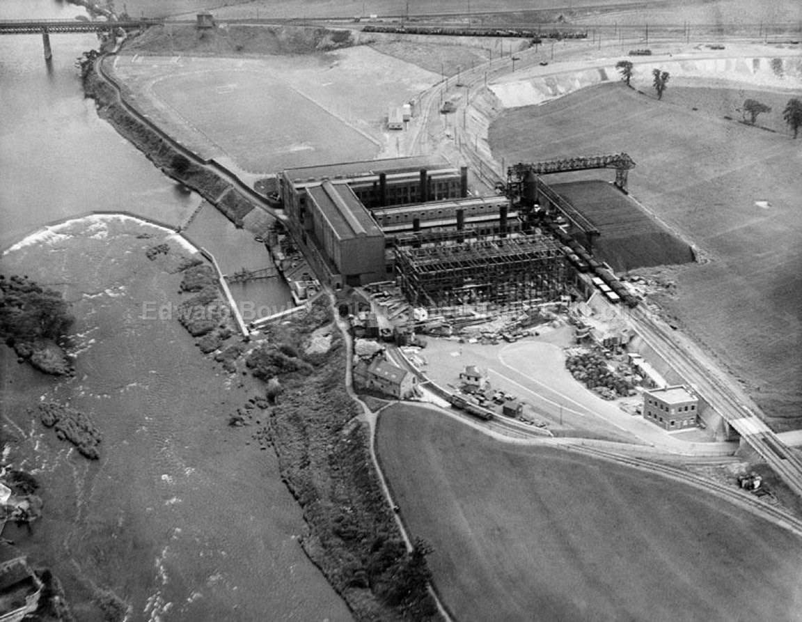
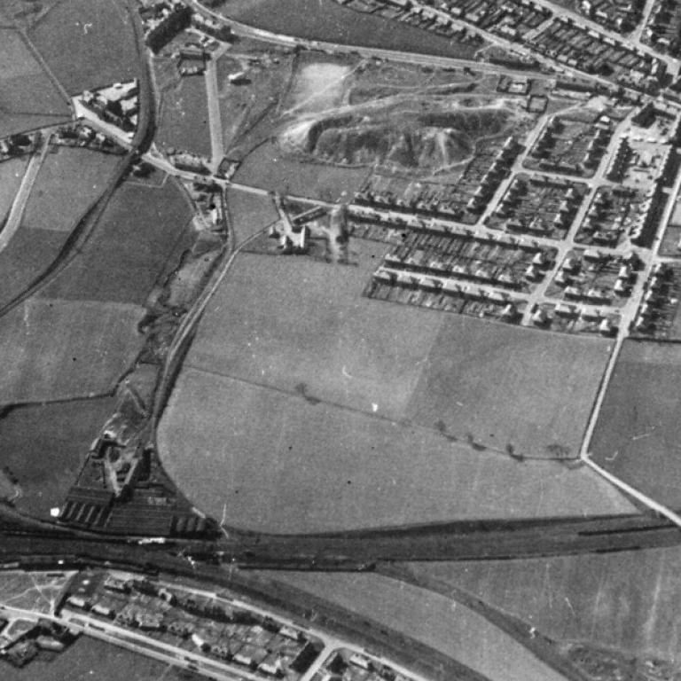
In this one - points of interest
The construction of Caledonian Circuit
The prefabs
The Bings in the distance
The railway signal box with allotments behind
Sewage pipe running down Clydeford Rd to the sewage works (This was painted black and
about 4 feet wide)
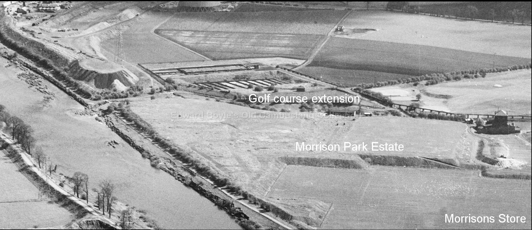
Where Morrison's store now is, the ground prepared to become the coup
The children's swing park behind the current Morrison's area.
I just noticed (May 2013) - Zoom in. See on the far left hand side. 3 guys playing
football. You can just make out the goalie with his legs open waiting for the ball.
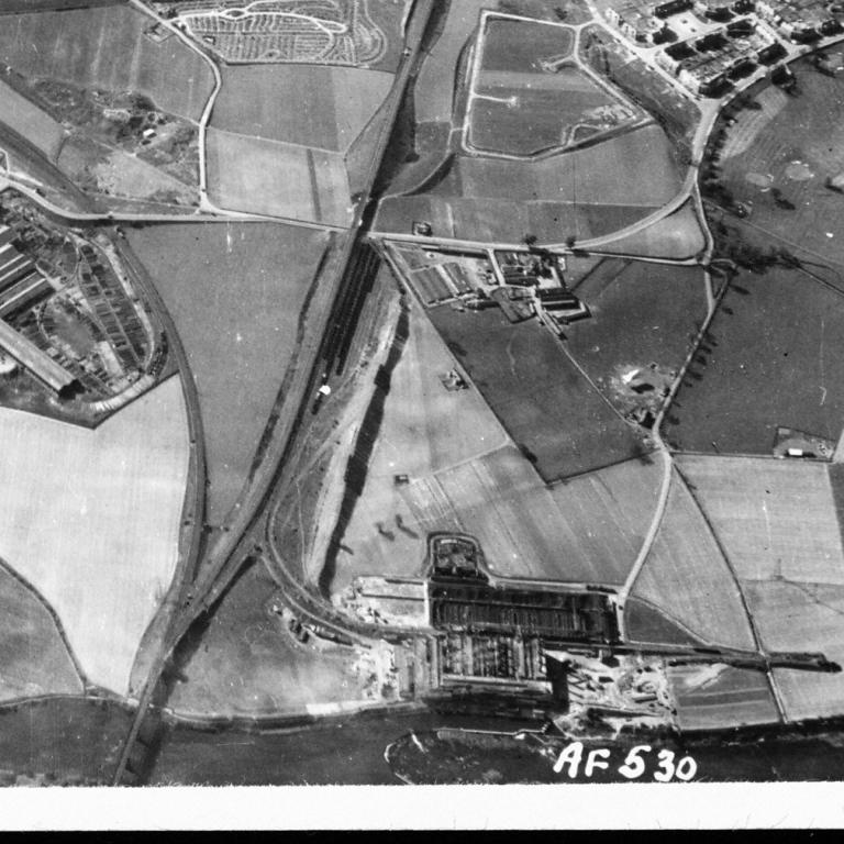
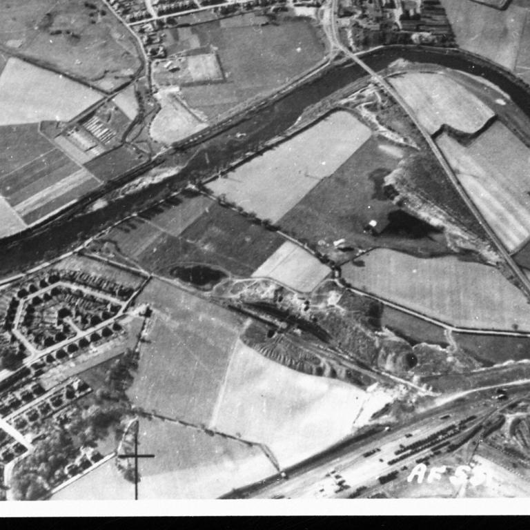
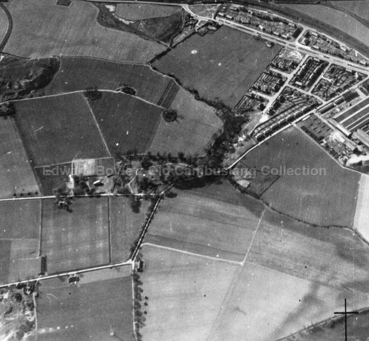
The Kirkburn estuary to the Clyde 1949. A road bridge now spans the Clyde at this
point.
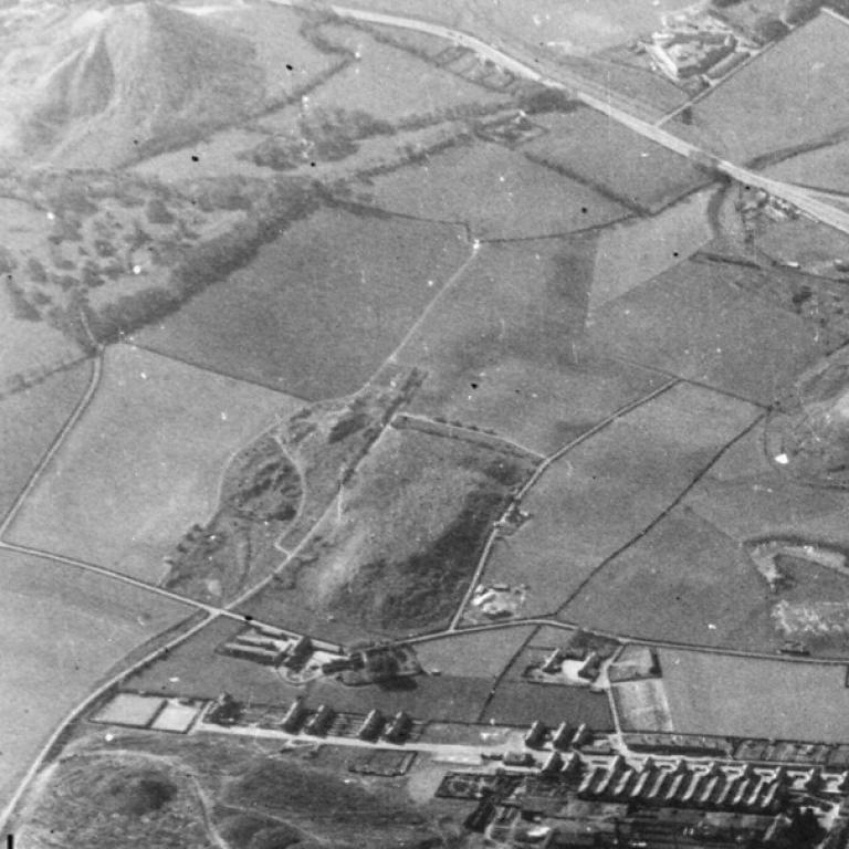
See the stone bridge over the burn. There was a Pitch and Toss school just to the right of
the bridge
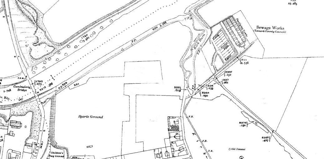
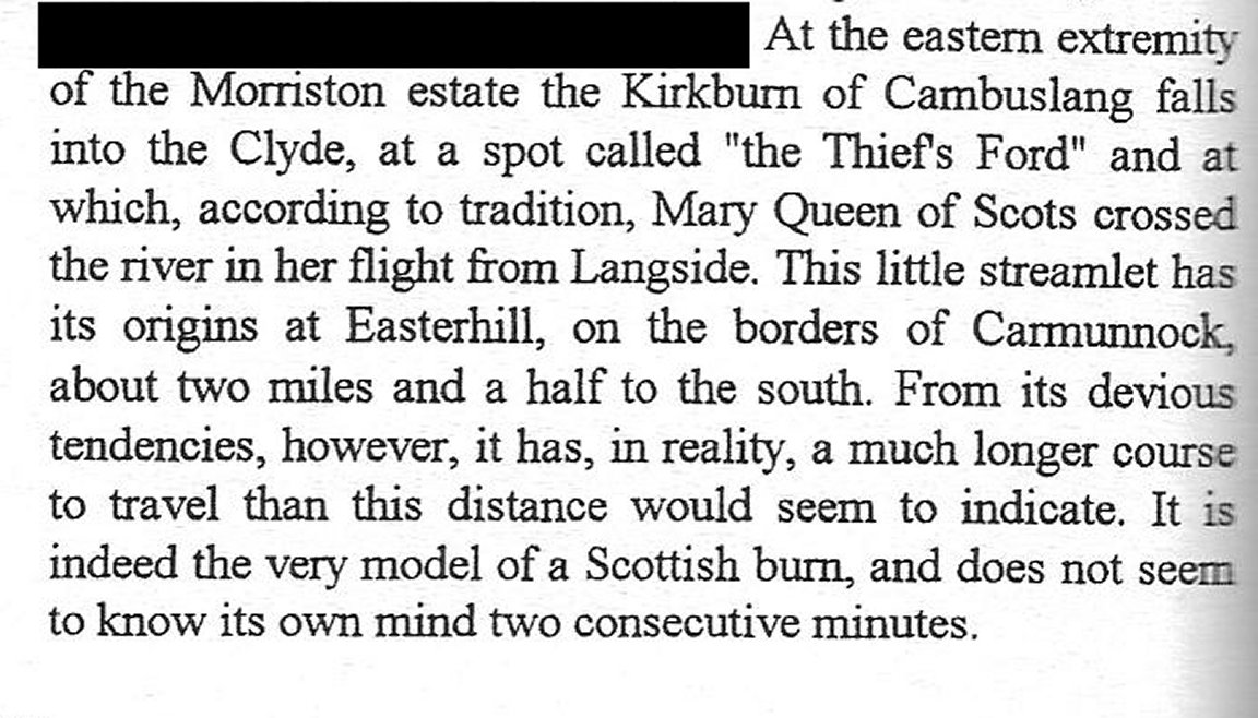
 1950 map
Extract
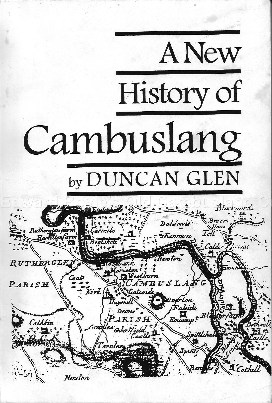
from 'A New History of Cambuslang' by Duncan Glen Book Cover Page
1950 map
Extract
from 'A New History of Cambuslang' by Duncan Glen Book Cover Page
Silverbanks 1949
and again from a different angle
![]()
updated 23 June 2013